While the area is in serious disrepair, the trails around Lake Wenatchee are always a joy to walk. For this weekend I chose to backpack the White River trail up into Boulder Creek basin. My original plan was to climb Clark mountain and Luhana peak. But, that would be thwarted by mother nature.
From the white river trail-head, the path begins easy enough as it winds along the river bank. For the first four miles of the white river trail, you will be meandering along. It is easy and only gains around 300 feet of elevation before the trail junction to the boulder basin.
**You can continue past the junction with the Boulder Basin Trail, but it is not advised. The trail past here has not had maintenance in years. There is avalanche debris, slides, and washouts to deal with. If you can navigate it, the trail meets up with the PCT near white pass. But you will be on your own for navigation.**

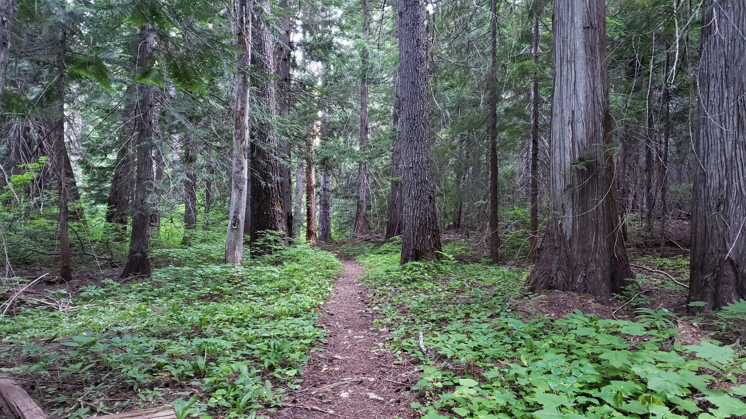
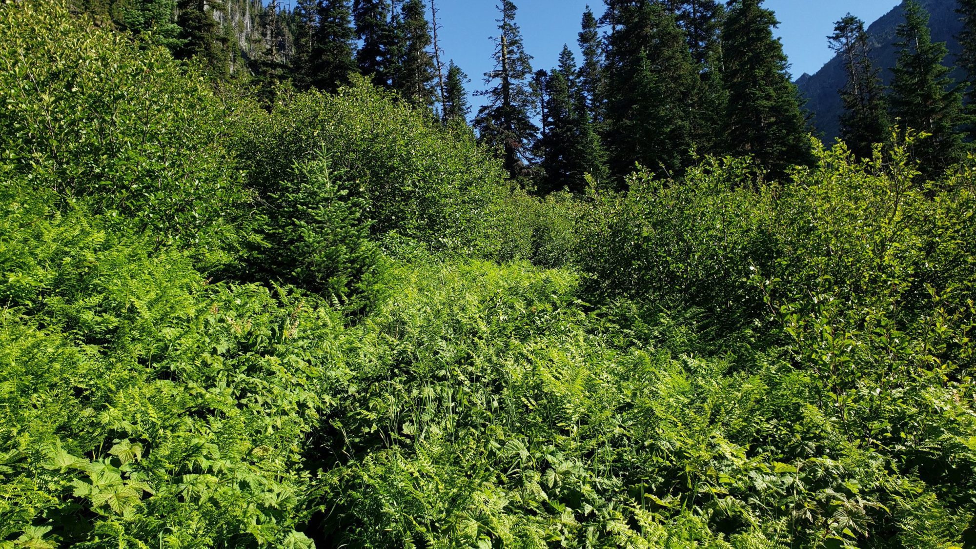
While the White River Trail is easy, prepare for some bushwhacking. Much of the trail is overgrown and you will have to push brush aside. Both times I have been here, it was summer and I still got soaked. All the brush along the trail is wet so a pair of rain pants might be advisable if you start in the morning.
The only other serious obstacle along the White River Trail to consider is the bugs. Mosquitoes are everywhere and they are ruthless. I was wearing citronella bands and using bug spray, yet still, I was being mauled. It is rare that there are so many mosquitoes that I become angry, but this was one of those experiences. Be aware, move fast and take breaks once you start climbing the hill.
Immediately after taking the Boulder Pass junction, the trail begins to climb. It is not the steepest trail I have encountered, though it will test your leg strength a bit. Enjoy the views, take it slow, and before you know it you will be winding around the side of the hill.
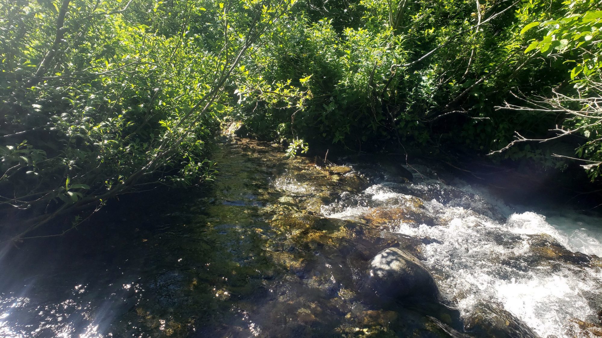
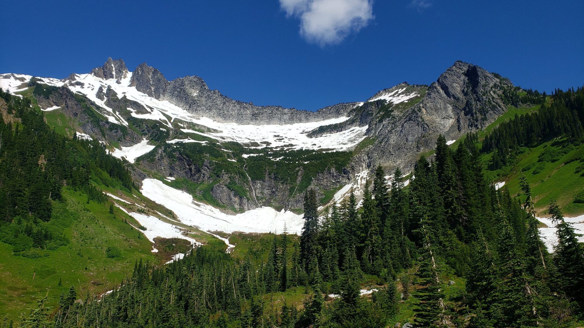
Once you have rounded the hill and entered the basin, the day could become much more interesting. Early in the year, Boulder Creek can be quite high as it was on this occasion. In that case, a creek ford and removal of boots will be necessary. It gets to knee-deep in one spot so use your best judgment on conditions and ability before crossing.
Once you have made it past the creek crossing, the trail becomes easy. There is still a large amount of brush to push your way through, but, there isn’t much farther to go before the views open. Then your mind will feel occupied for the last couple of miles.
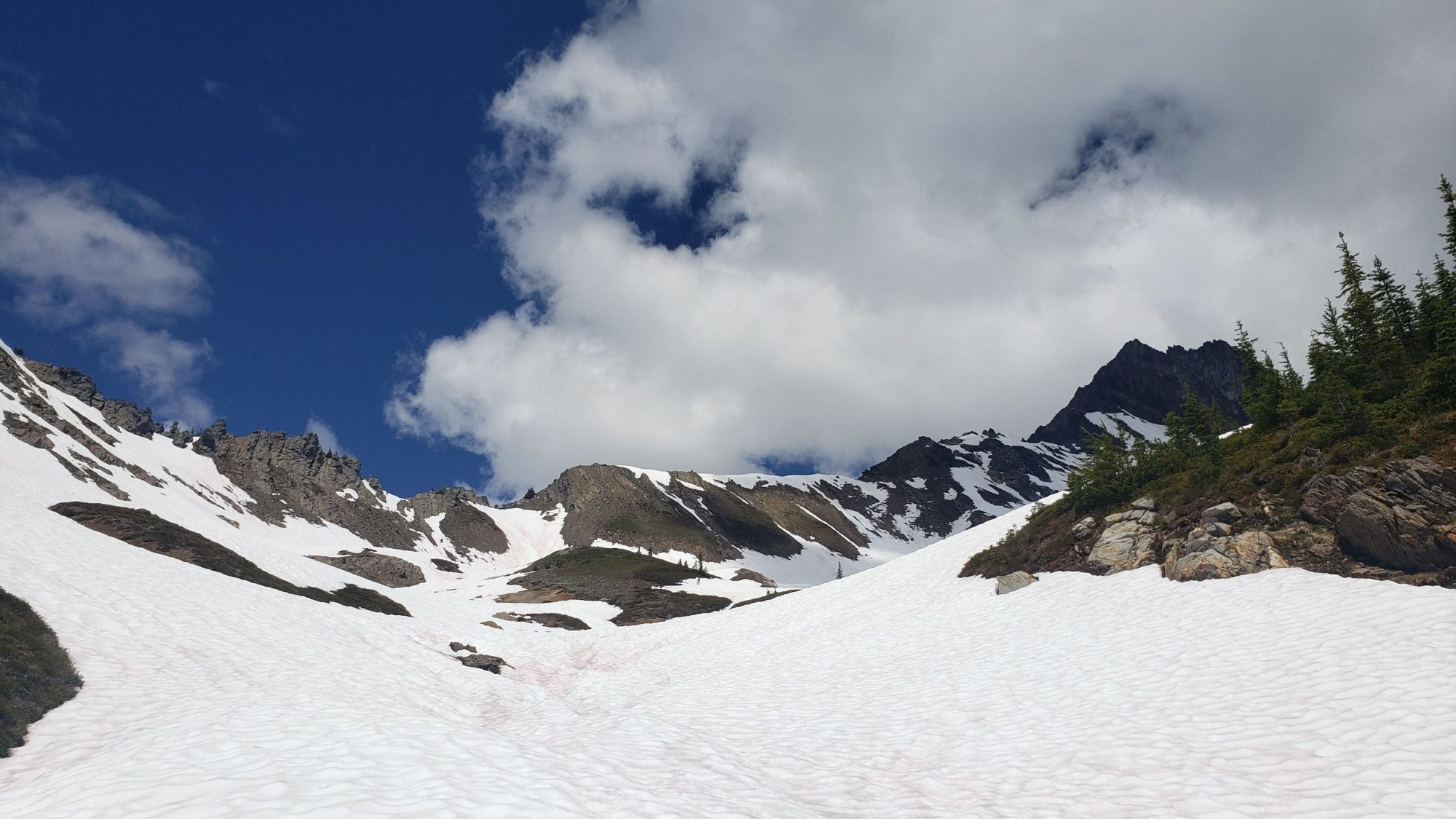
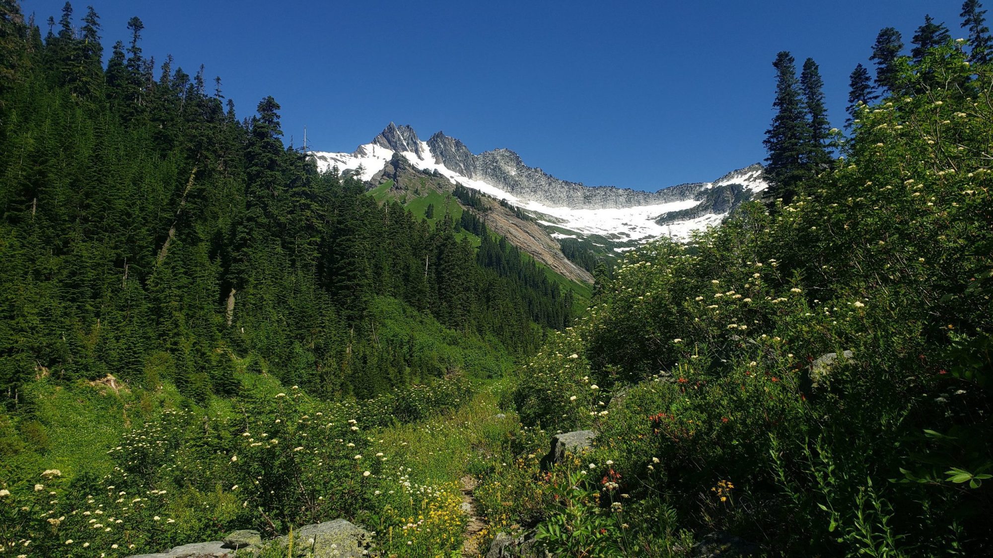
At the top of the basin, there is a couple of excellent campsites.If you choose to continue past the head of the basin, there is ample options. For my trip I took the climbers route that splits off to the left before the trail heads up boulder pass. You can see it marked on the map I have linked to above as “climbers route cutoff”.
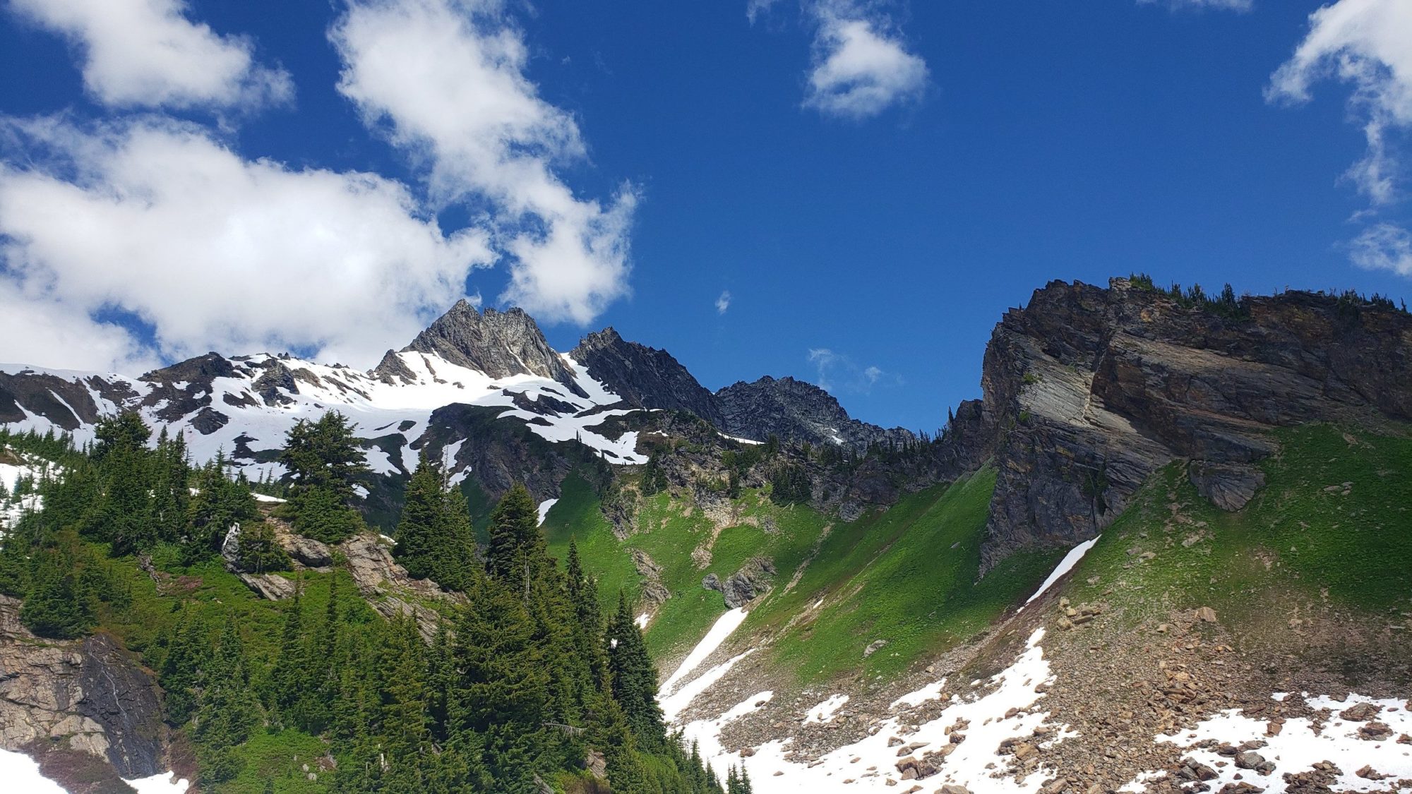
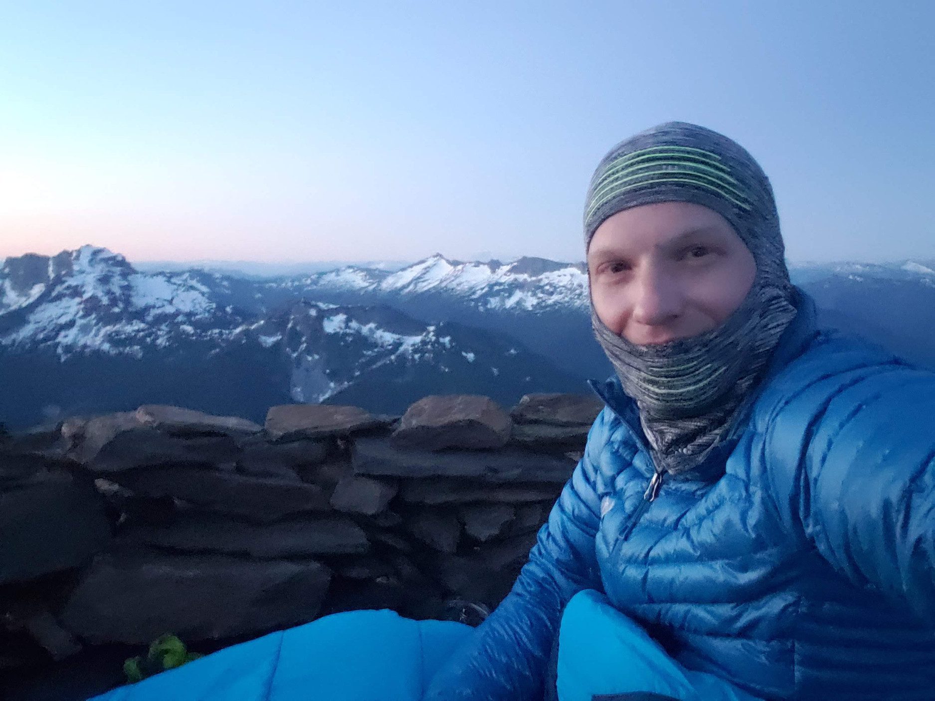
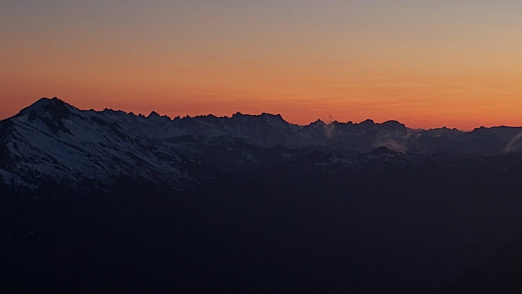
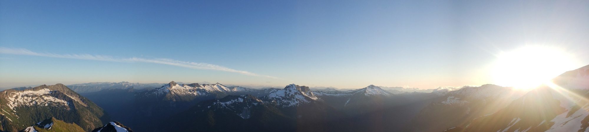
The climbers path heads directly up hill and gains considerable elevation. It will push you towards a ridge-line that is south east of Clark Mountain. While the climb is steep and necessitated crampons right now, the reward is exceptional. The ridge-line has ample space for setting up tents and being well away from the world.
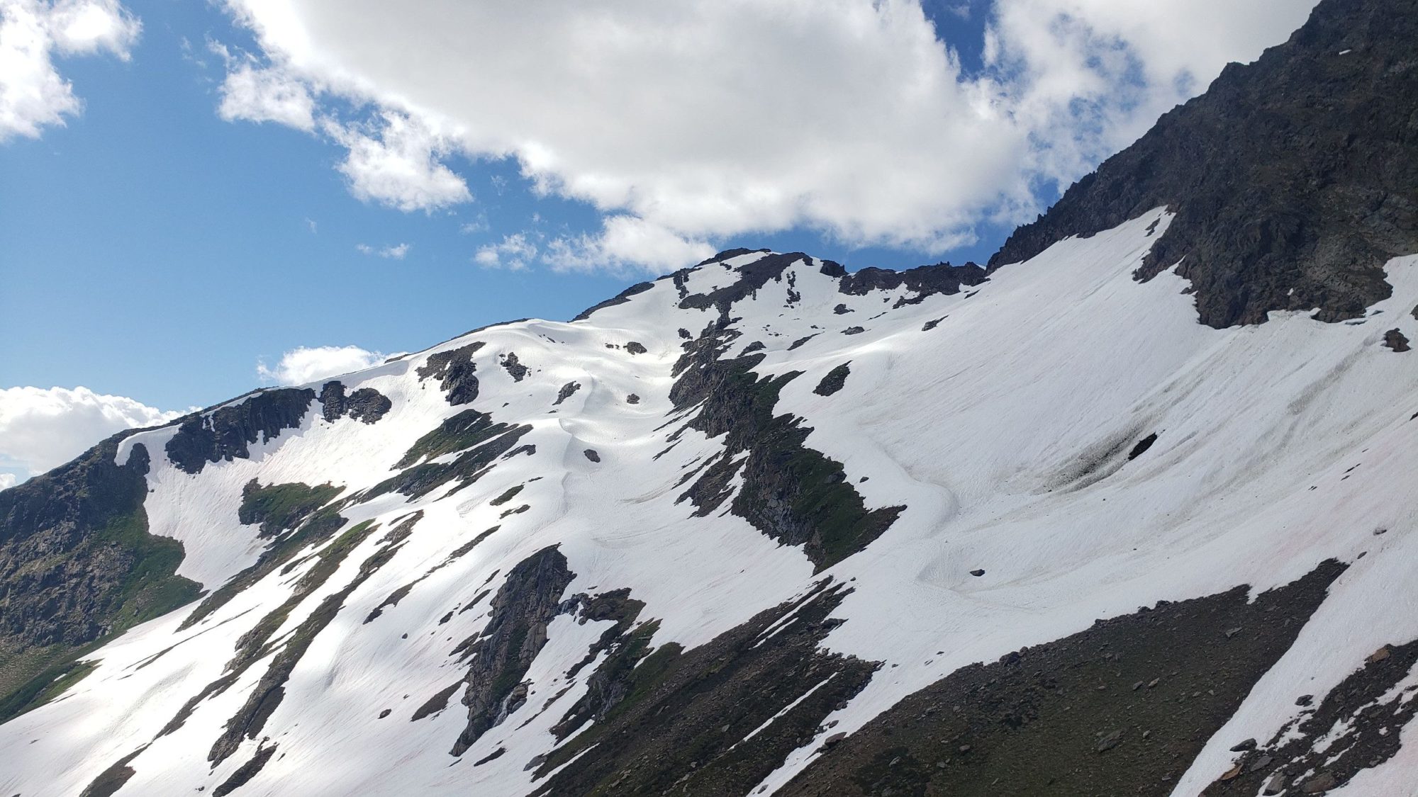
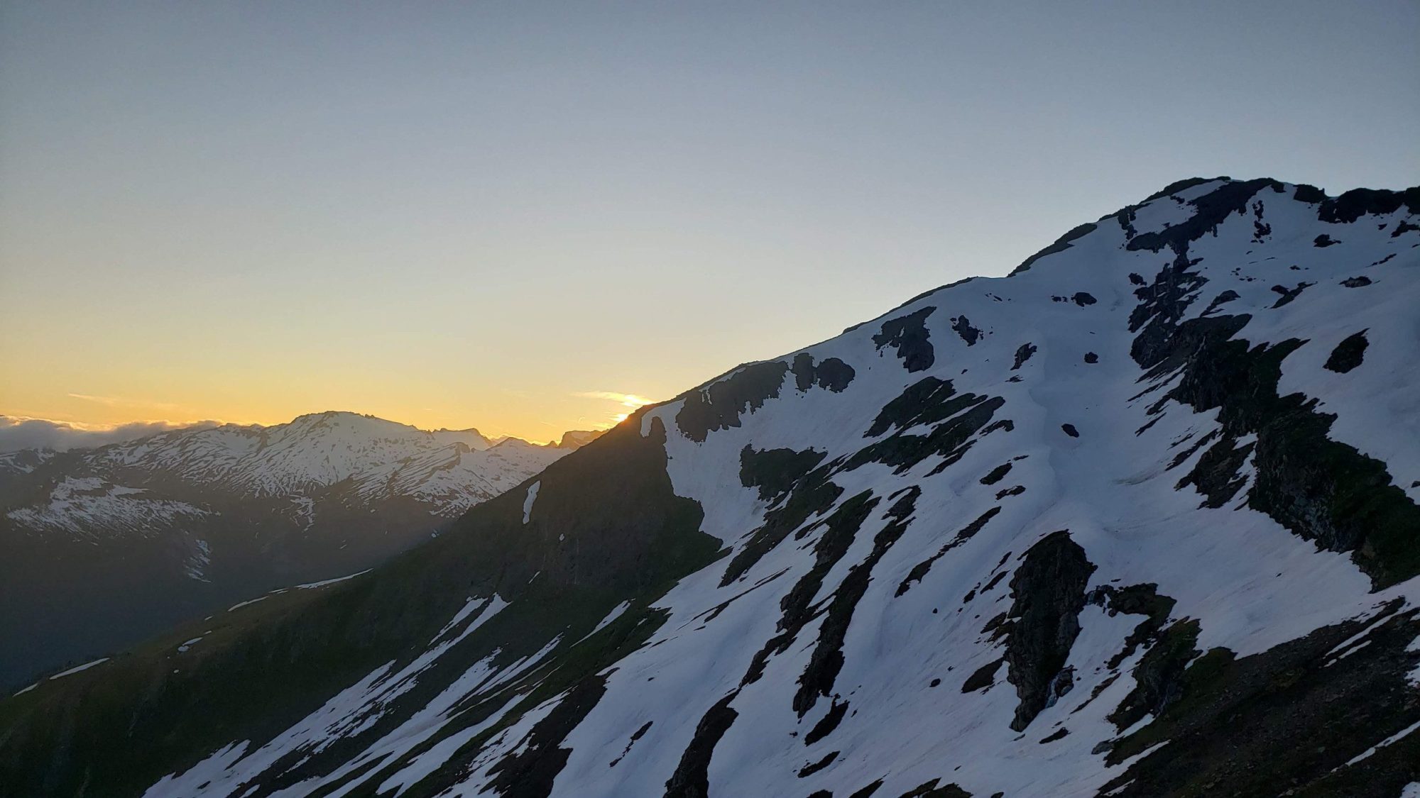
Since I was attempting to climb Clark Mountain, I set up my bivy site along the ridge. Afterward, I headed for the small gully that leads down to the climbing route. Thankfully someone had marked it with cairns making it easy to locate.
From the top, it appeared that the gully was snow-free and so I headed down. But, about halfway down right now there is a small snow slope to deal with. While this would not be a problem most days, the heat from the day had warmed it up. After 15 minutes of trying to get my crampons to bite, I realized the endeavor was futile. I was slipping, post-holing, and nearly fell at one point.
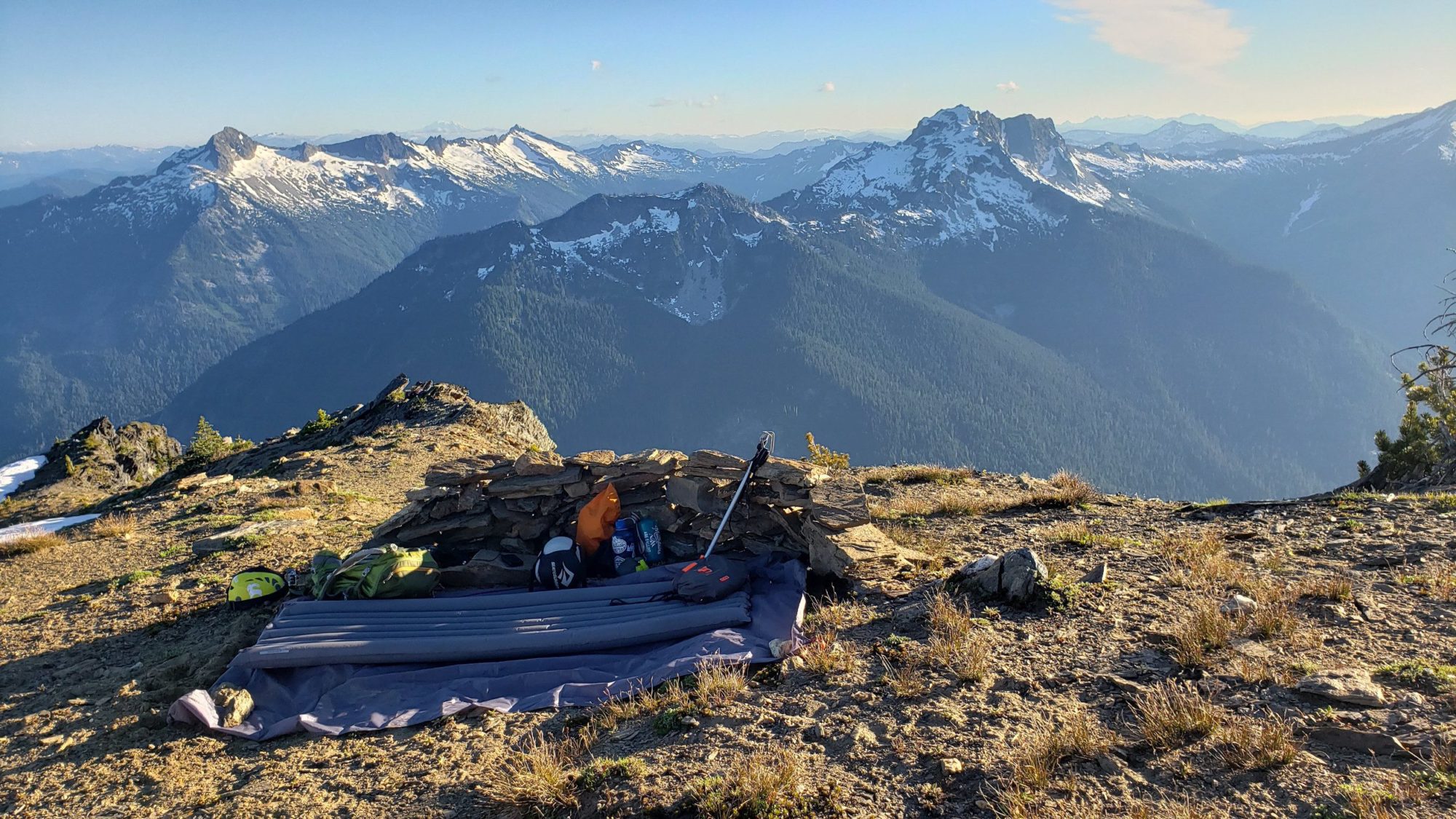
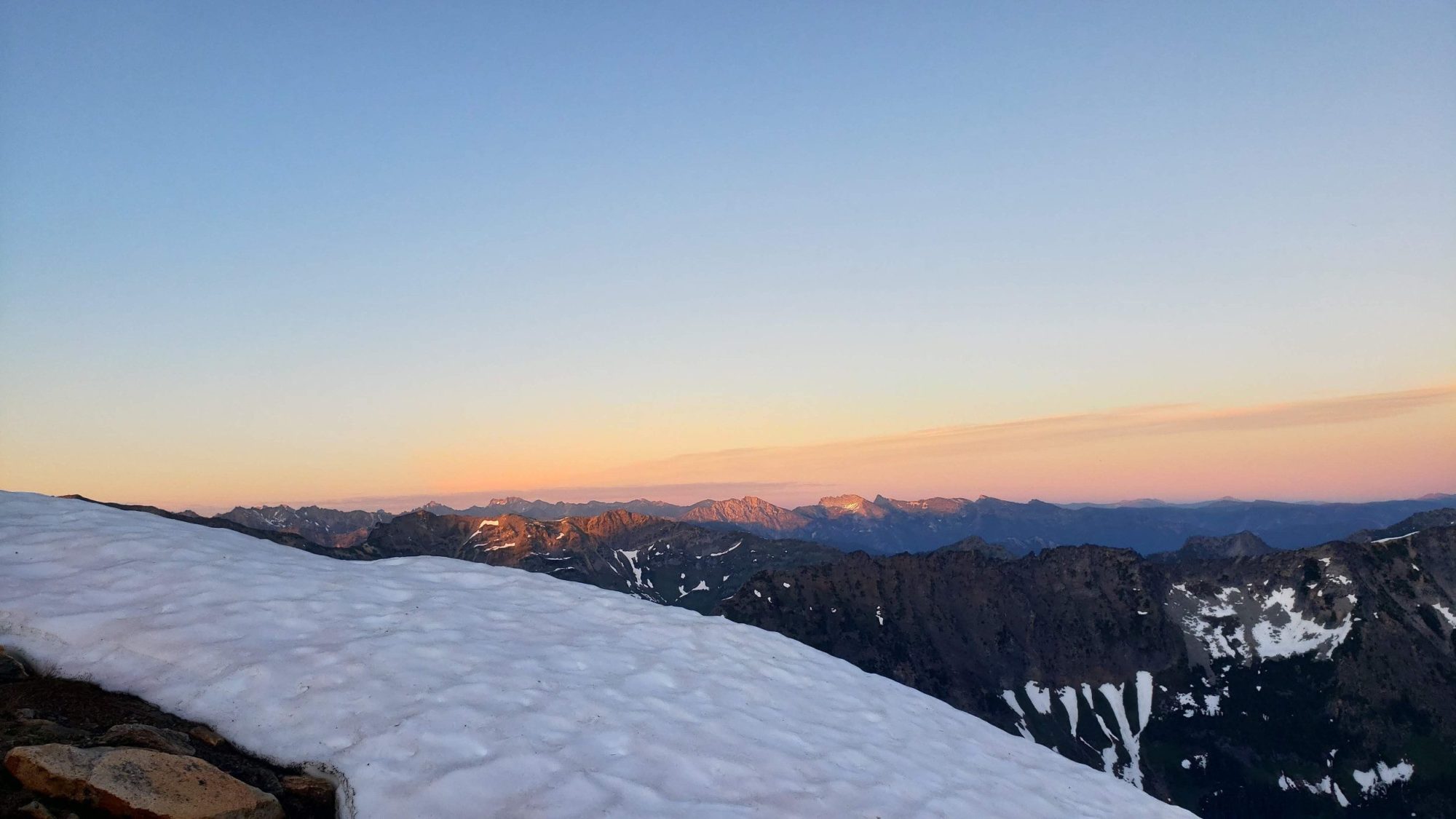
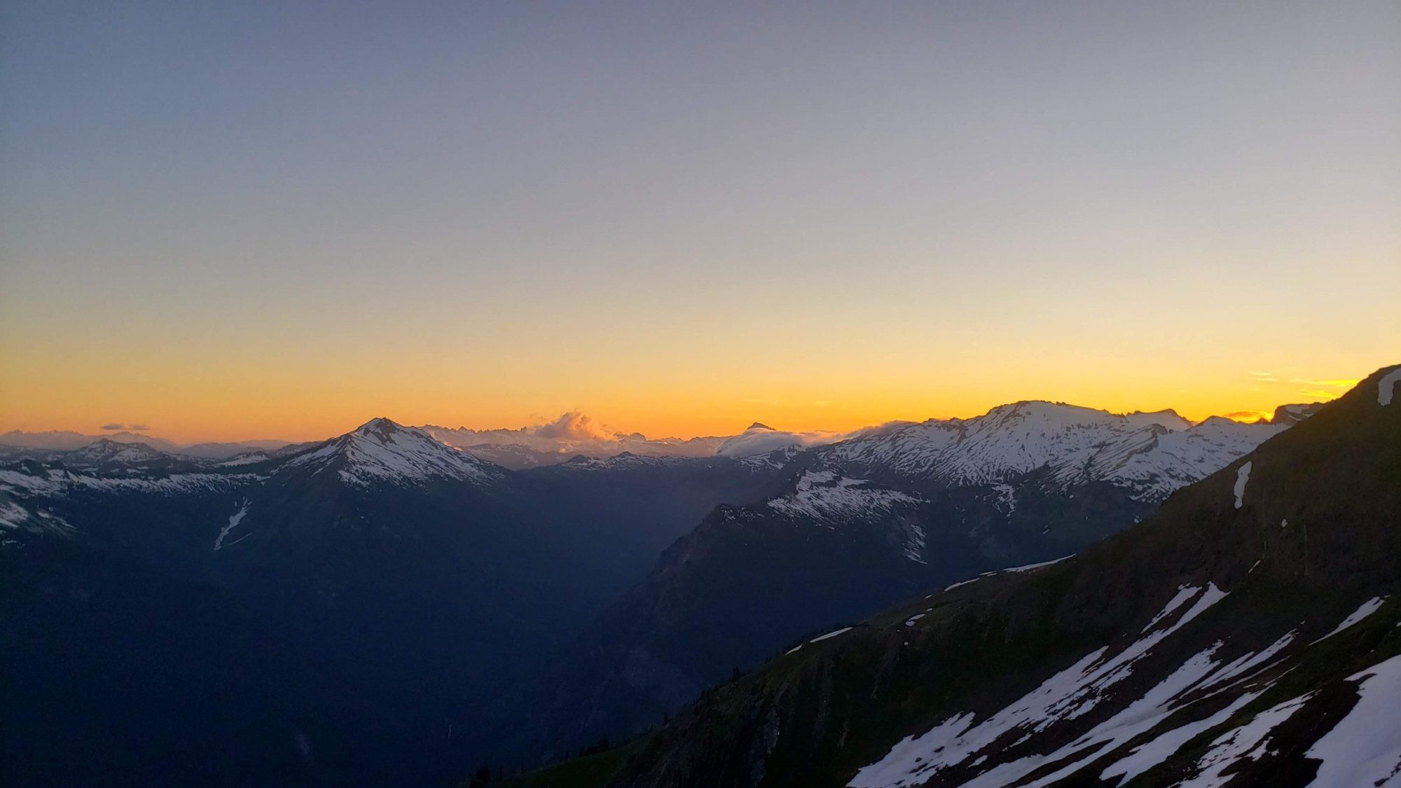
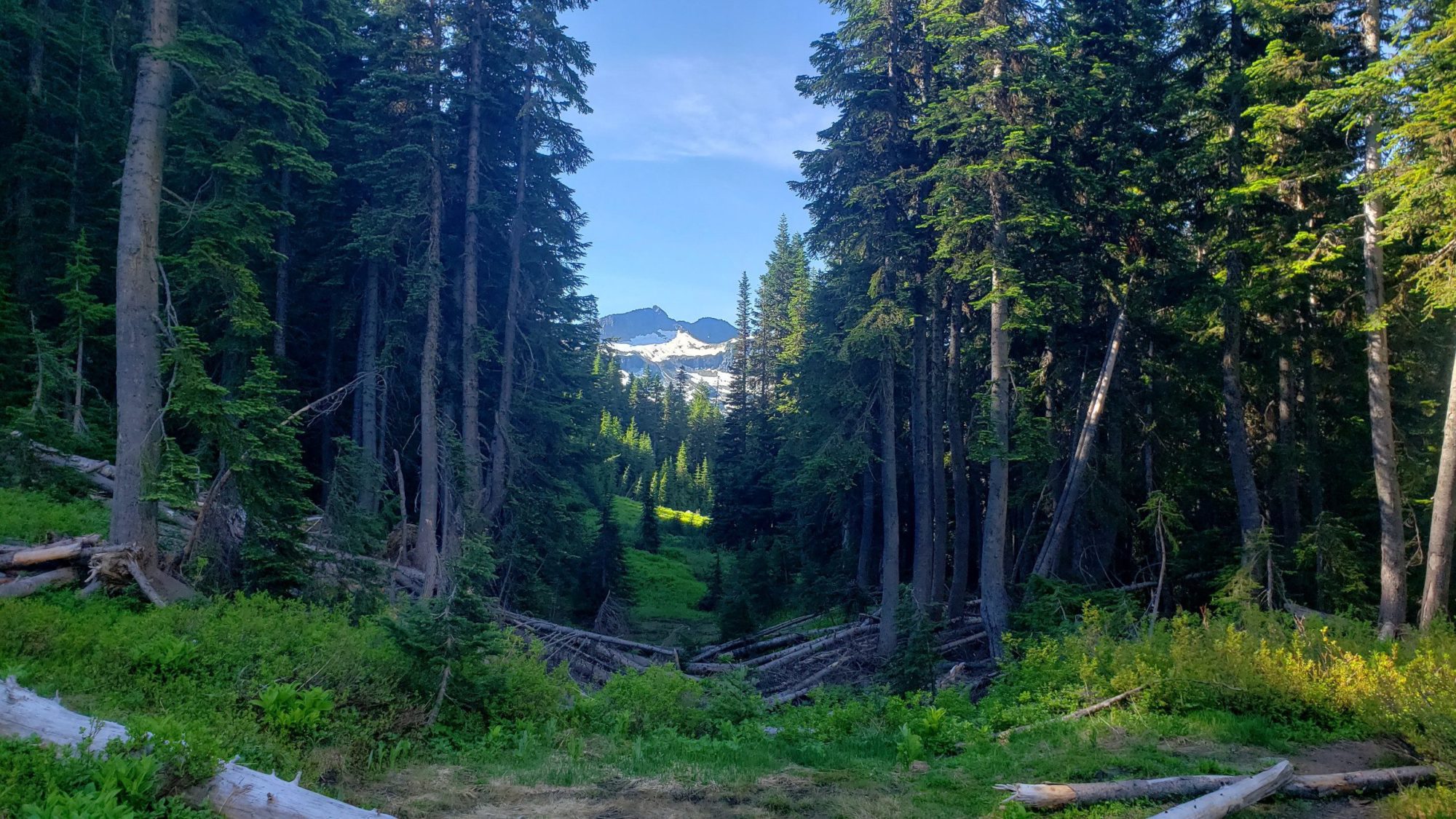
Though frustrated by my inability to climb Clark, I was happy to sit and enjoy the views in this spectacular place. The view of the stars from Boulder Basin is to die for. It feels like being 100’s of miles away from everything, even though the hike is a mere ~10 miles each way (depending on where you stop).
If only here for a night, the second day will be a retracing of your steps back to the car. Despite the trail being overgrown, the biggest challenge will once again be the bugs. Don’t let them drive you crazy.
If you are looking for a grand escape for a single night, the White River Trail and Boulder Basin are a great option. The number of people is limited. There are enough jaw-dropping views to keep the most experienced hiker interested. Plus with the lack of trail maintenance the entire trip feels more rugged and challenging than it appears at first glance.