 Aug 16, 2015
Although we used this trail to access another, I will describe the parts of the Lakes trail that we used. Hopefully one day I can return to this area and experience the whole loop.
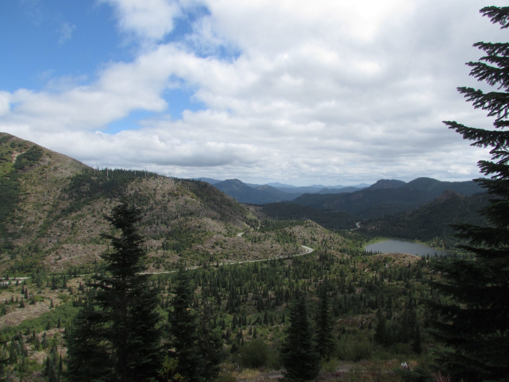
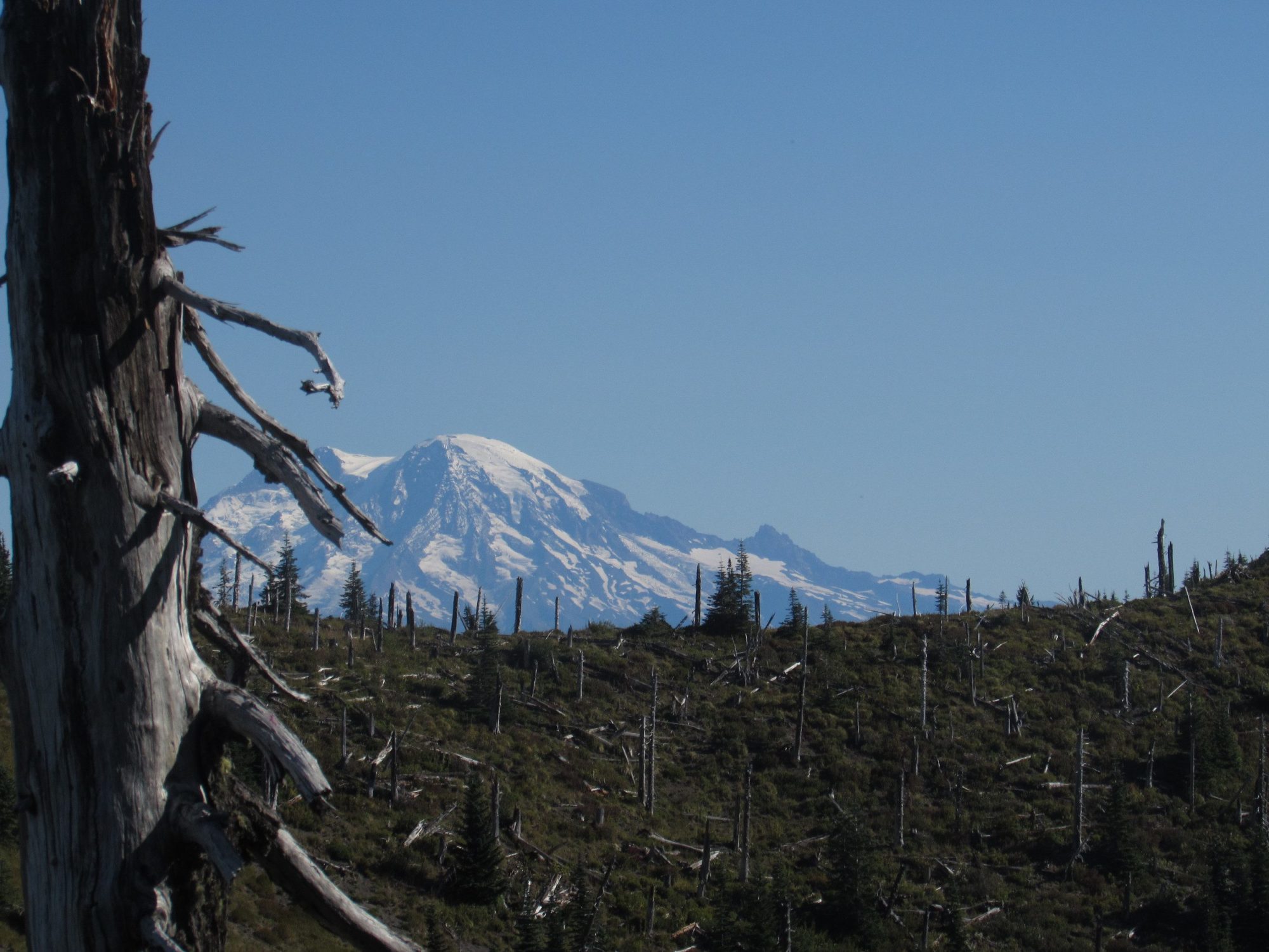
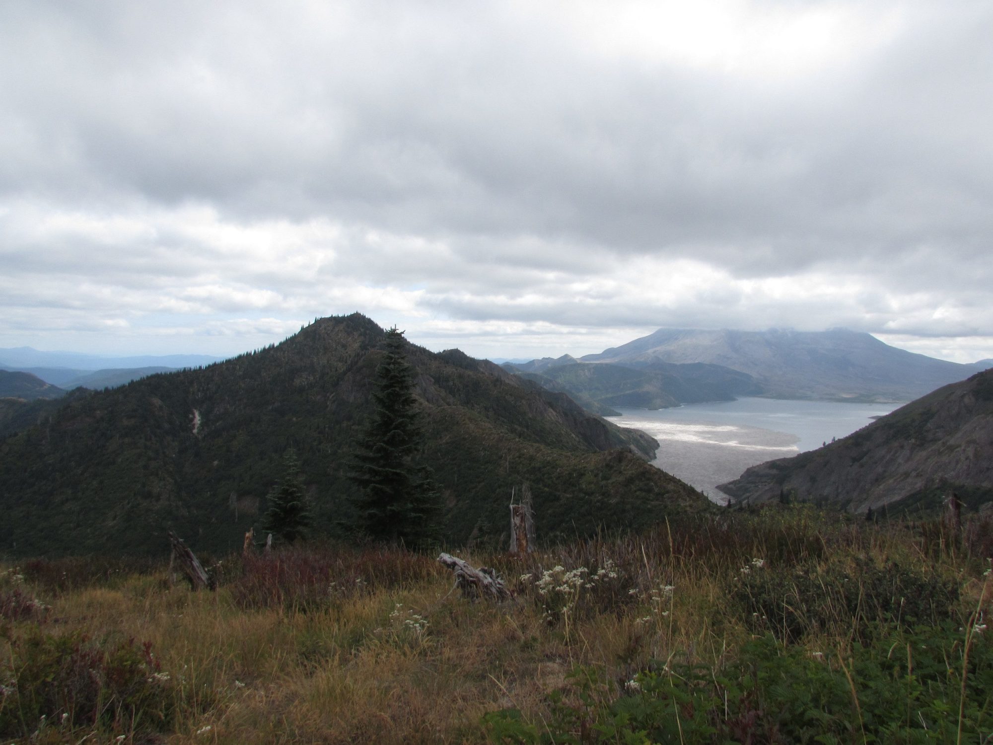
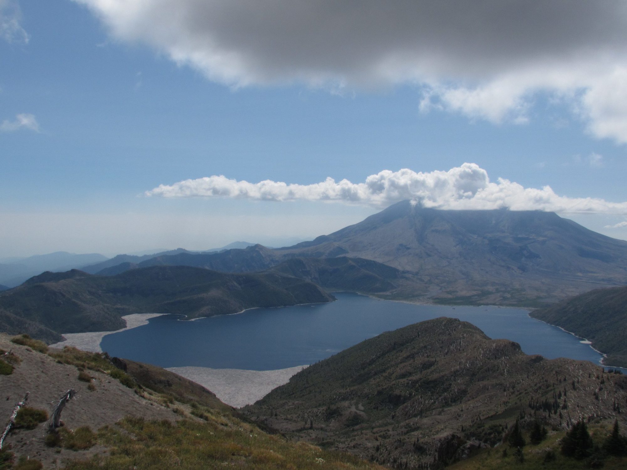
Starting at the Norway Pass trailhead you climb slowly up the side of a large hill toward the pass. The views along the first part of the trail were fairly spectacular despite the heavy gray cloud cover. It is especially interesting to look at the many fallen trees around as you climb and the ones littering Spirit lake.
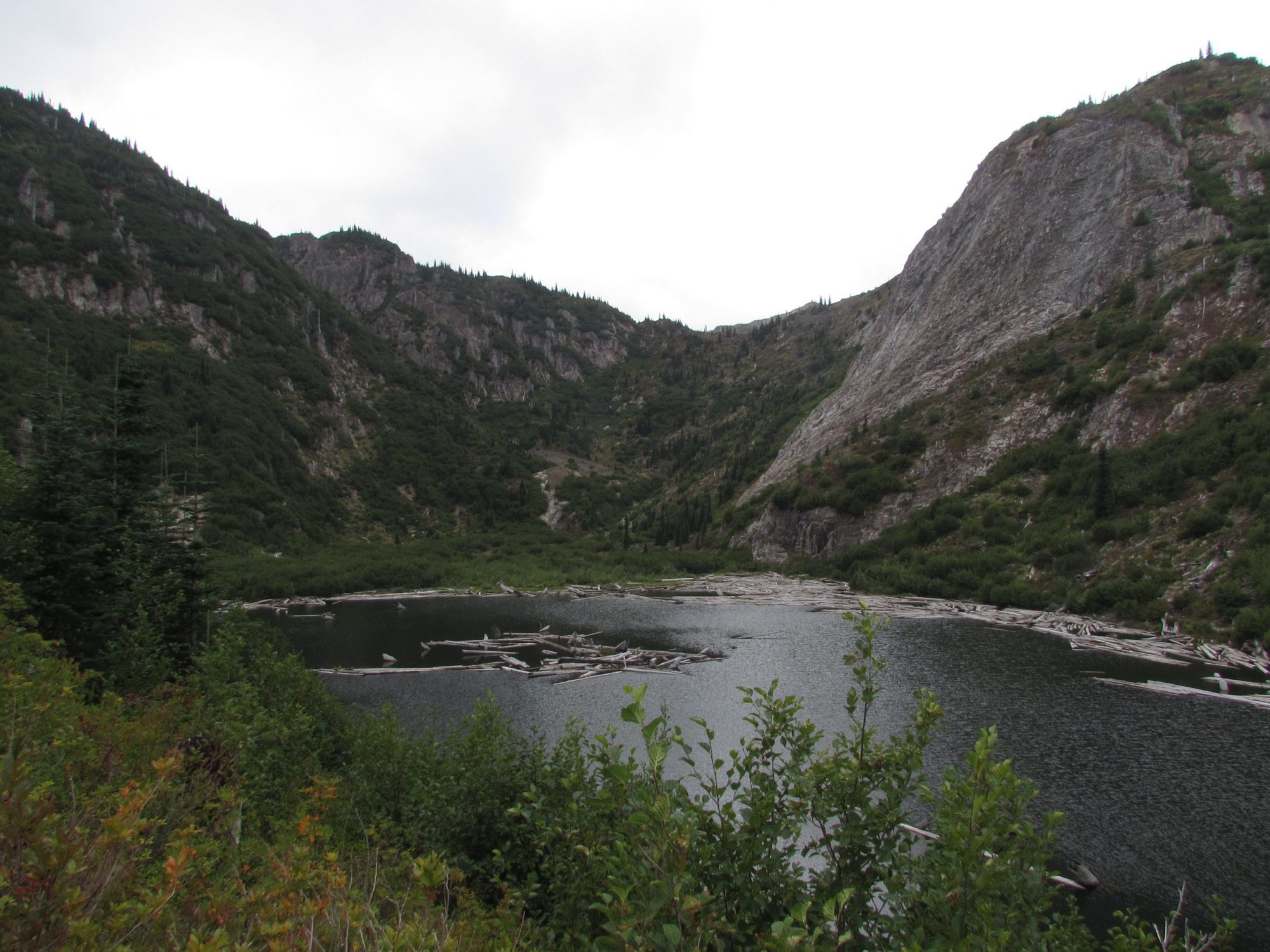
After the pass the trail climbs once more as it approaches Bear Pass, which is nowhere near as spectacular as Norway Pass. However, that could have been the clouds. From here the trail levels out a little bit passing Grizzly and Obscurity lakes. Grizzly is the better of the two but has no campsites and Obscurity really wasn’t all that nice. Past these two lakes the trail climbs once again as it heads toward Panhandle lake.
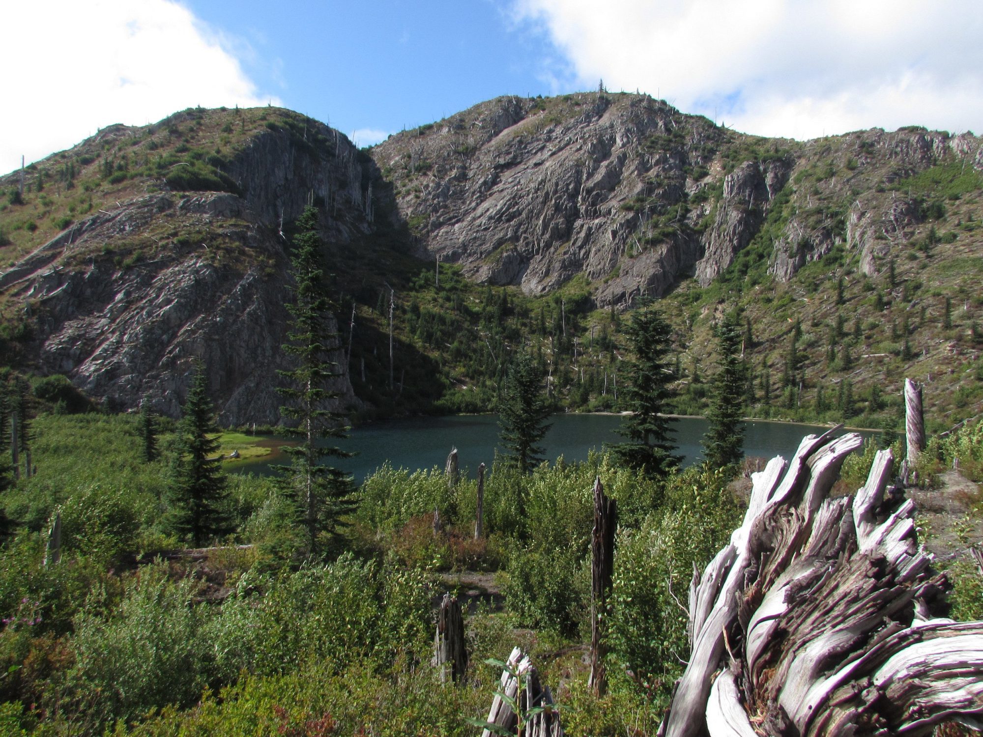
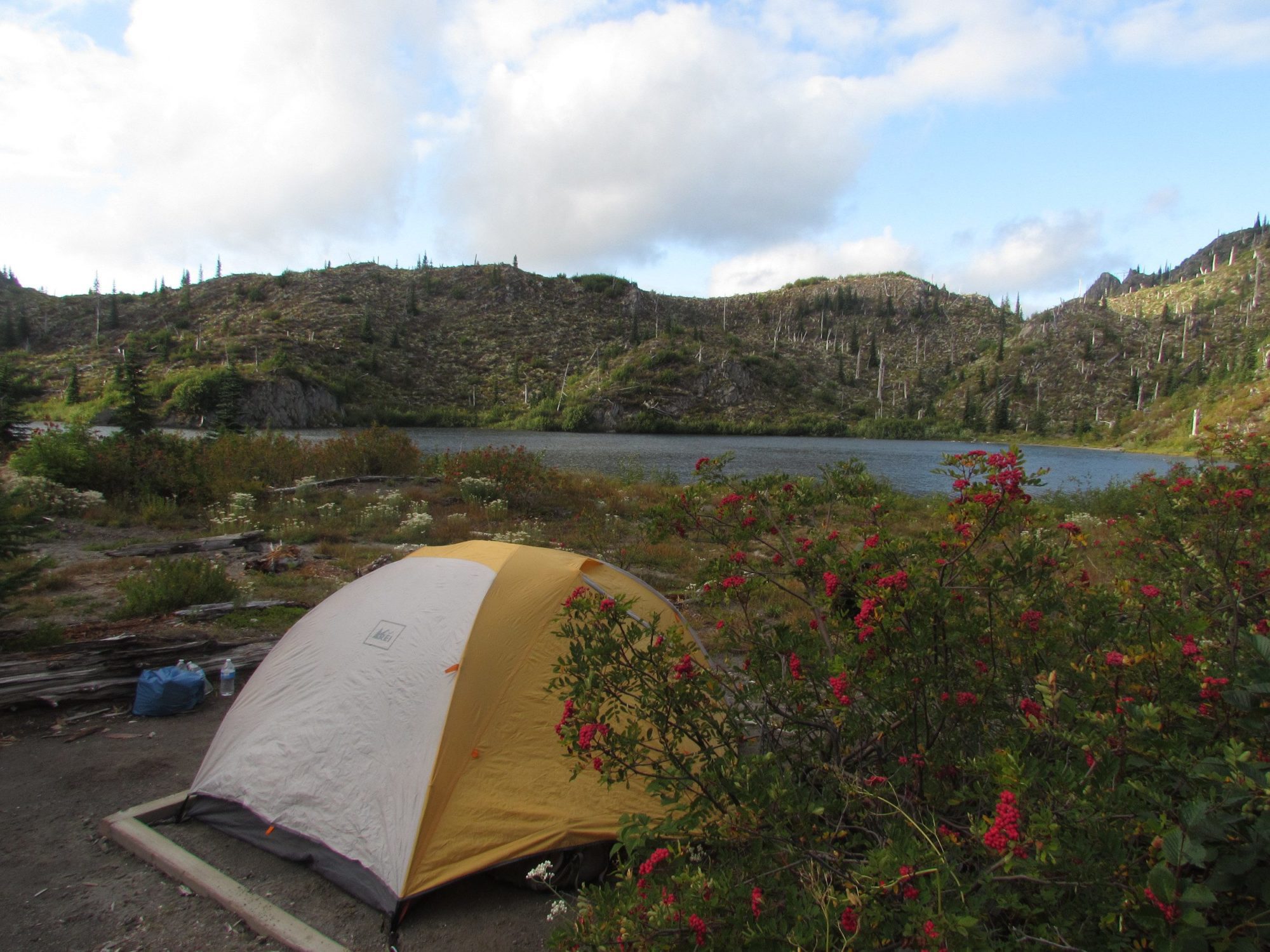
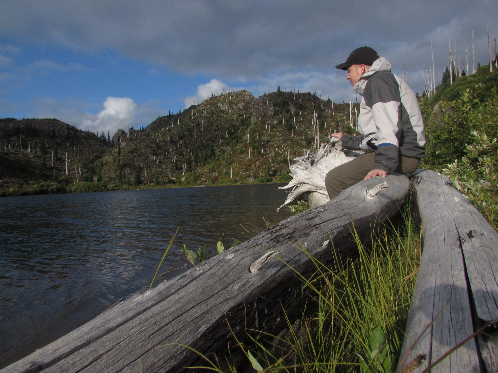
Panhandle was the nicest of the three on the first day by far. It is huge and sits in a nice bowl between two mountains making for some great photo opportunities. We were ecstatic at the campsite we got and I was happy my partner had picked these permits.
After settling down for a meal and watching the sun sink behind the mountains the stars came out in force mixed in with the thick band of the Milky Way.
 Aug 17, 2015
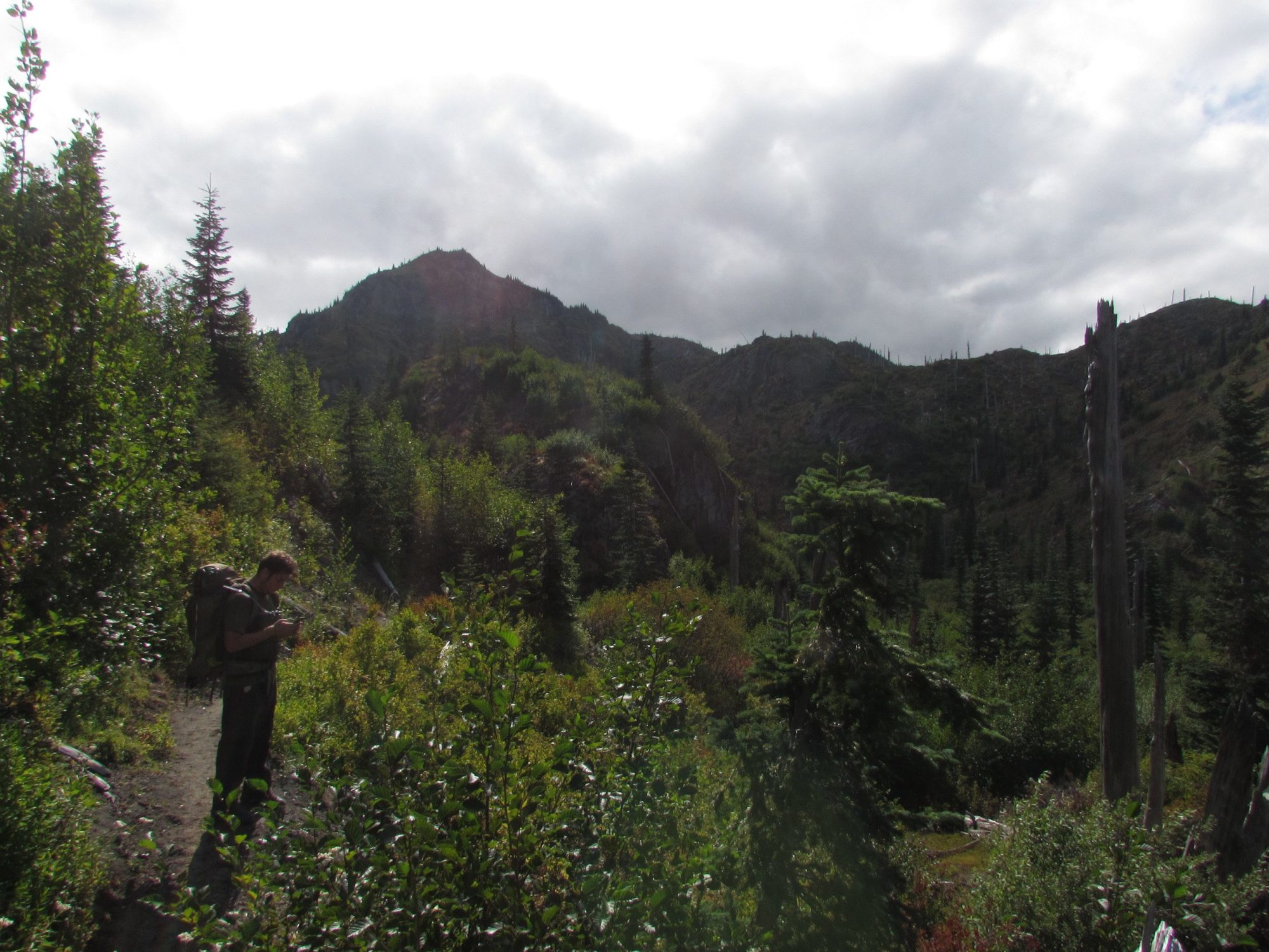
The second day was an easy walk uphill from Panhandle lake camps. We quickly reached the shovel lake turn off and after no time at all we were at the Whittier ridge cut off.
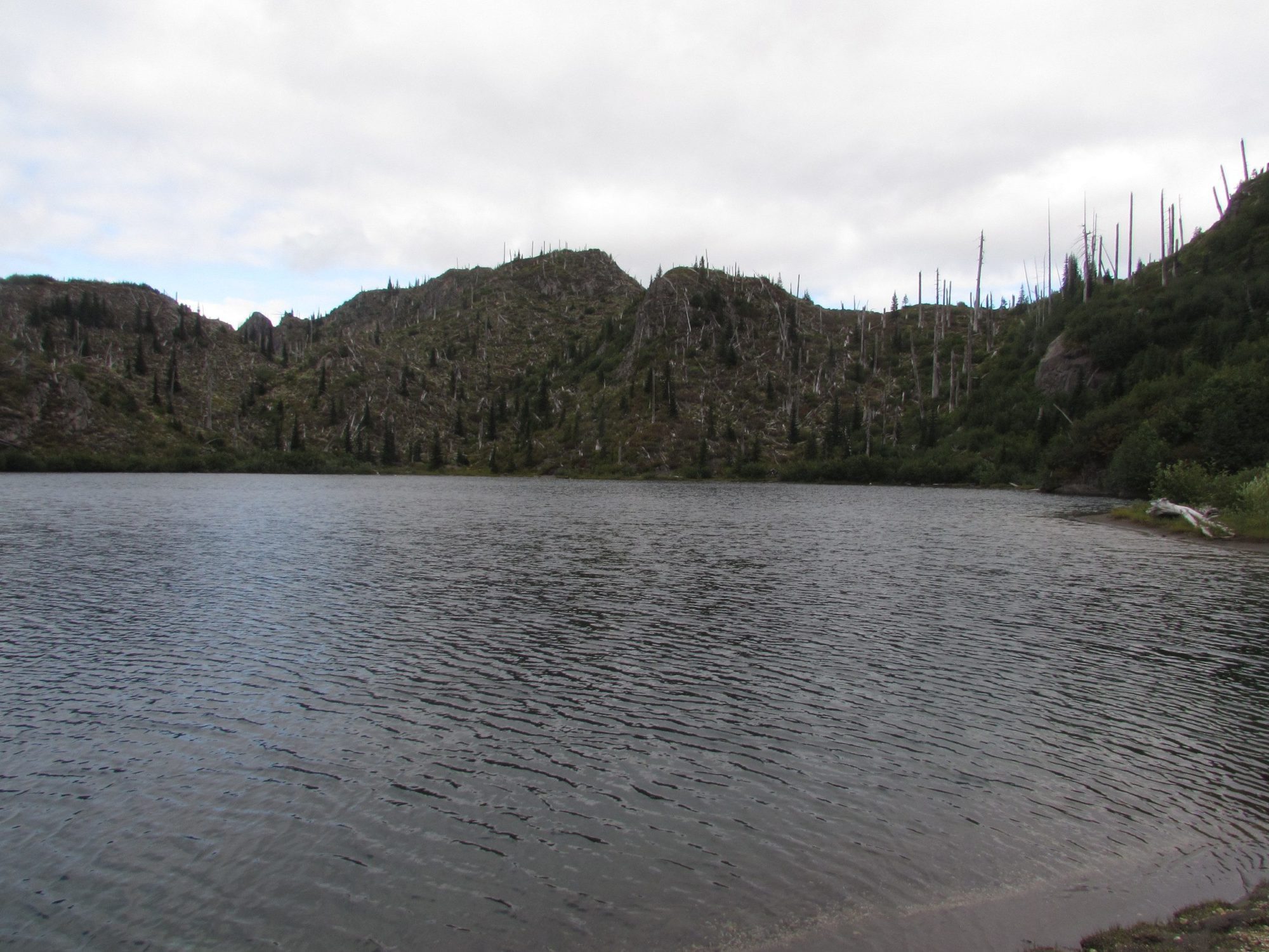
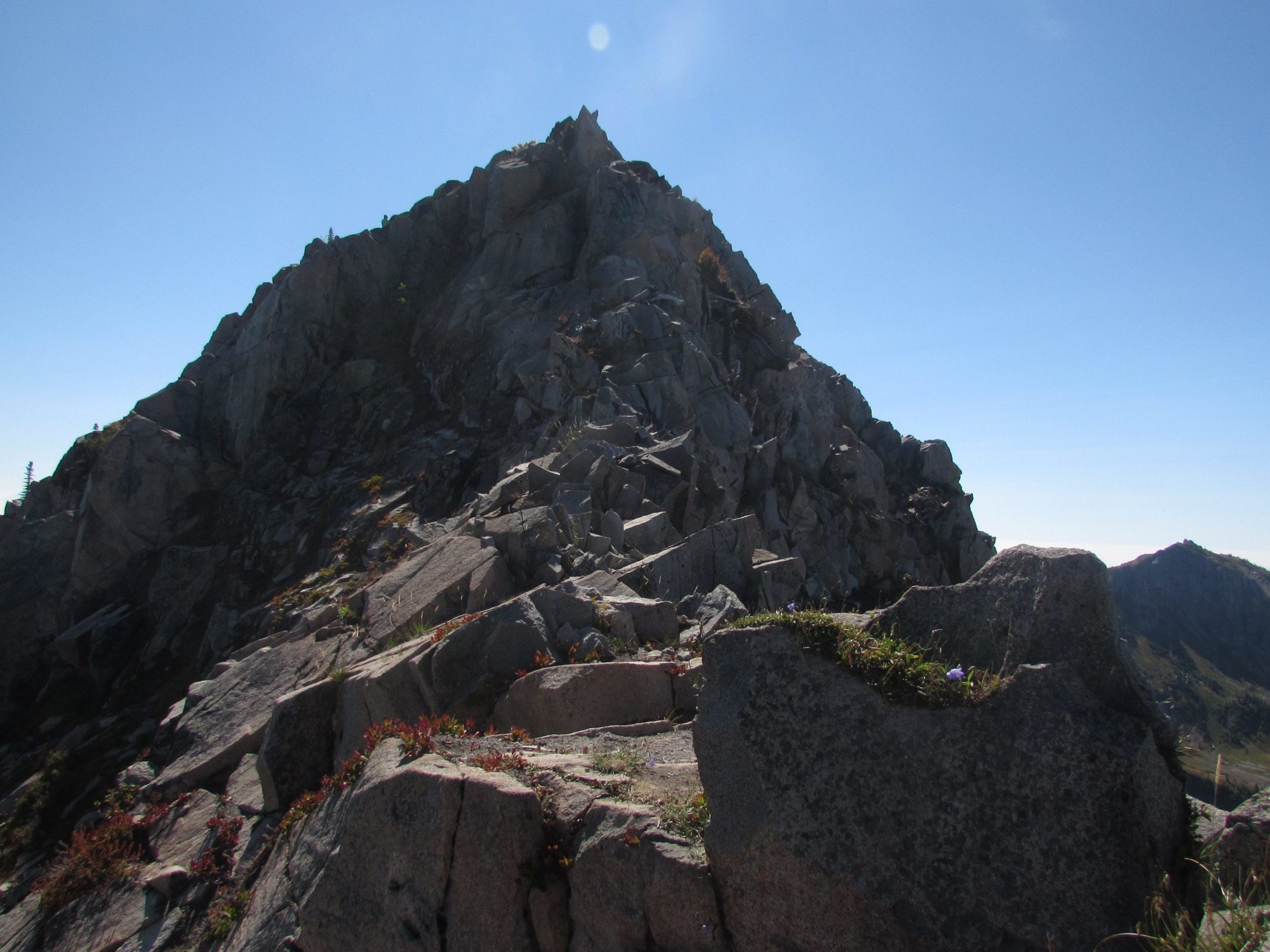
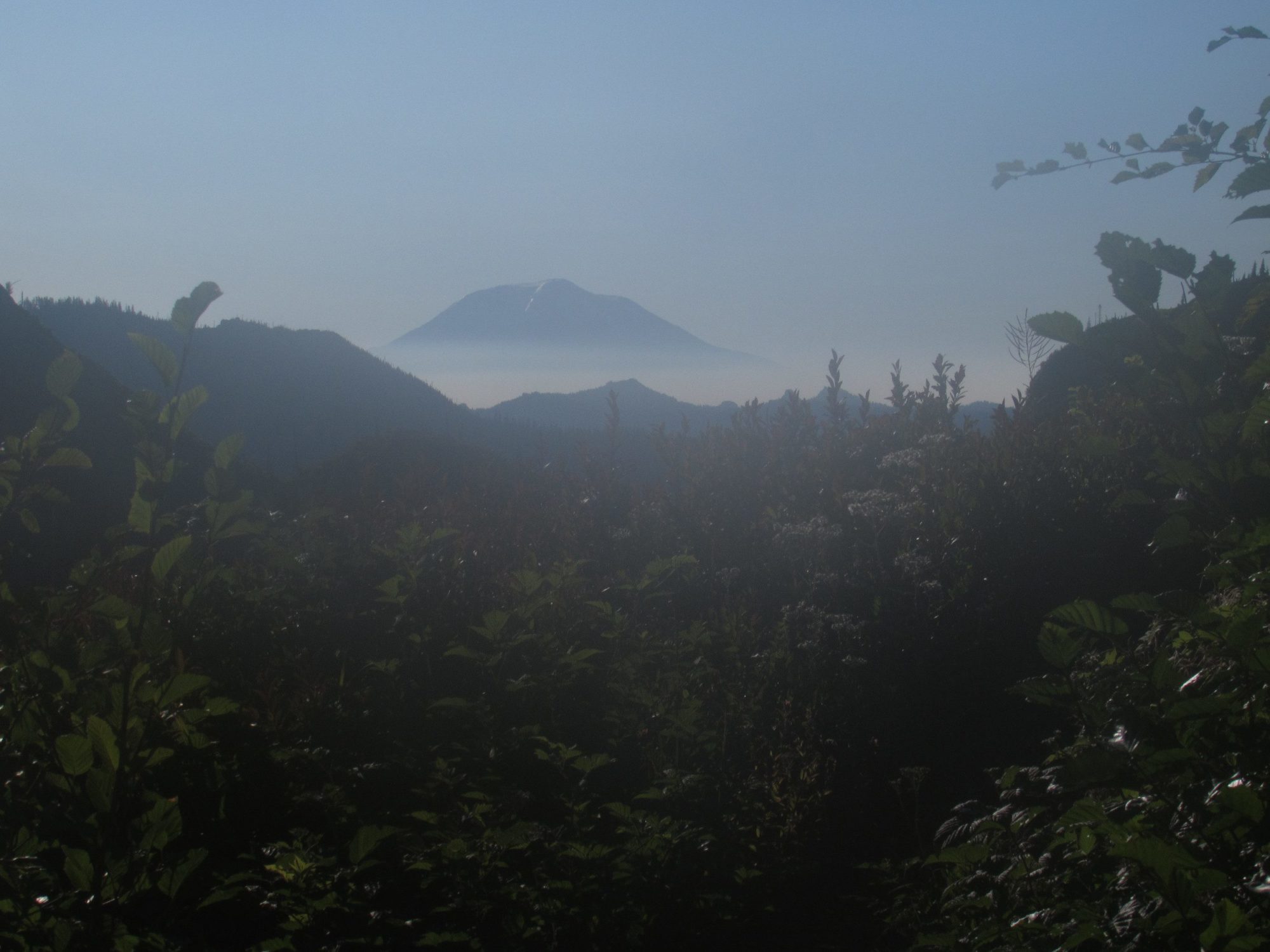
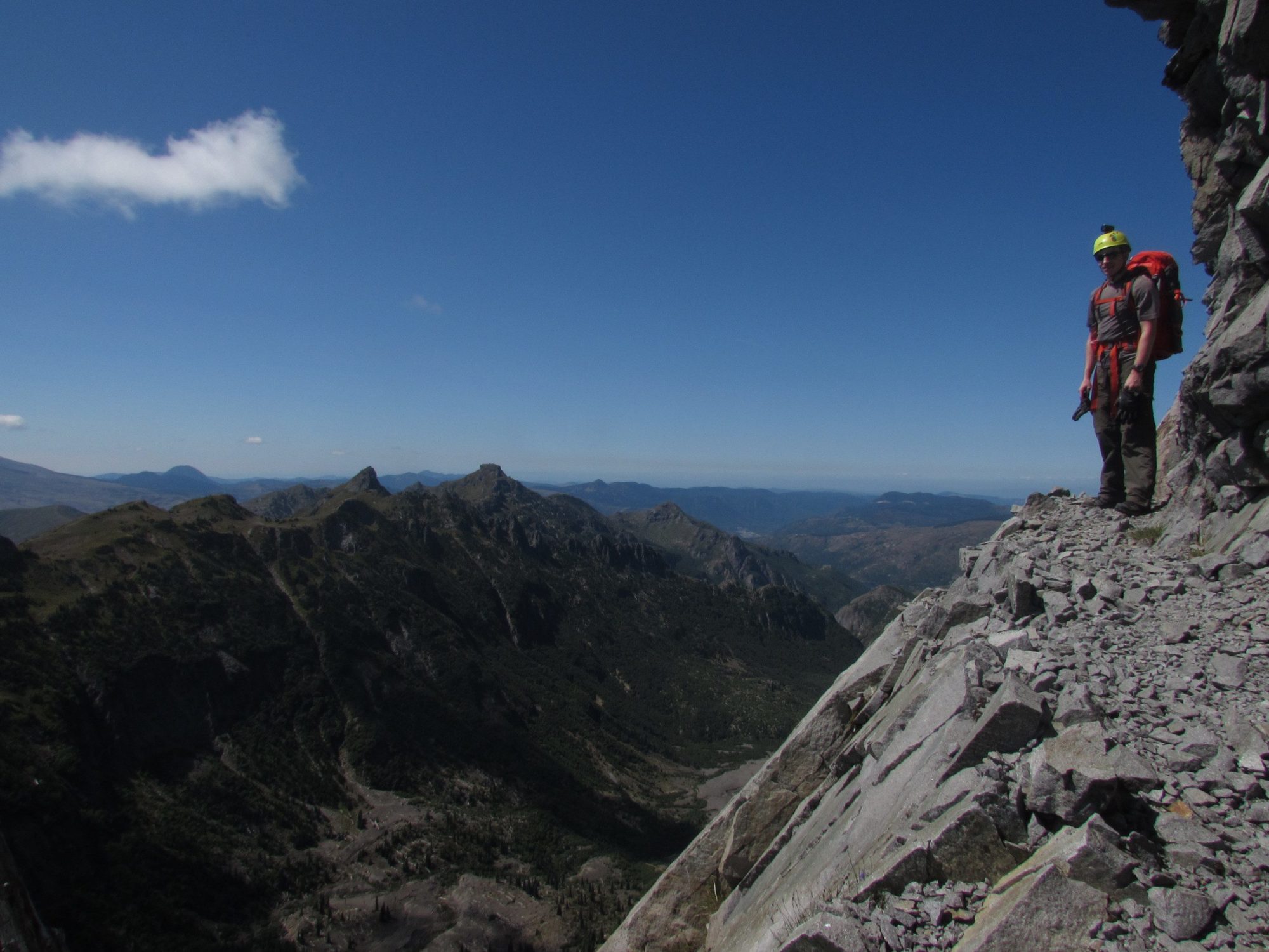
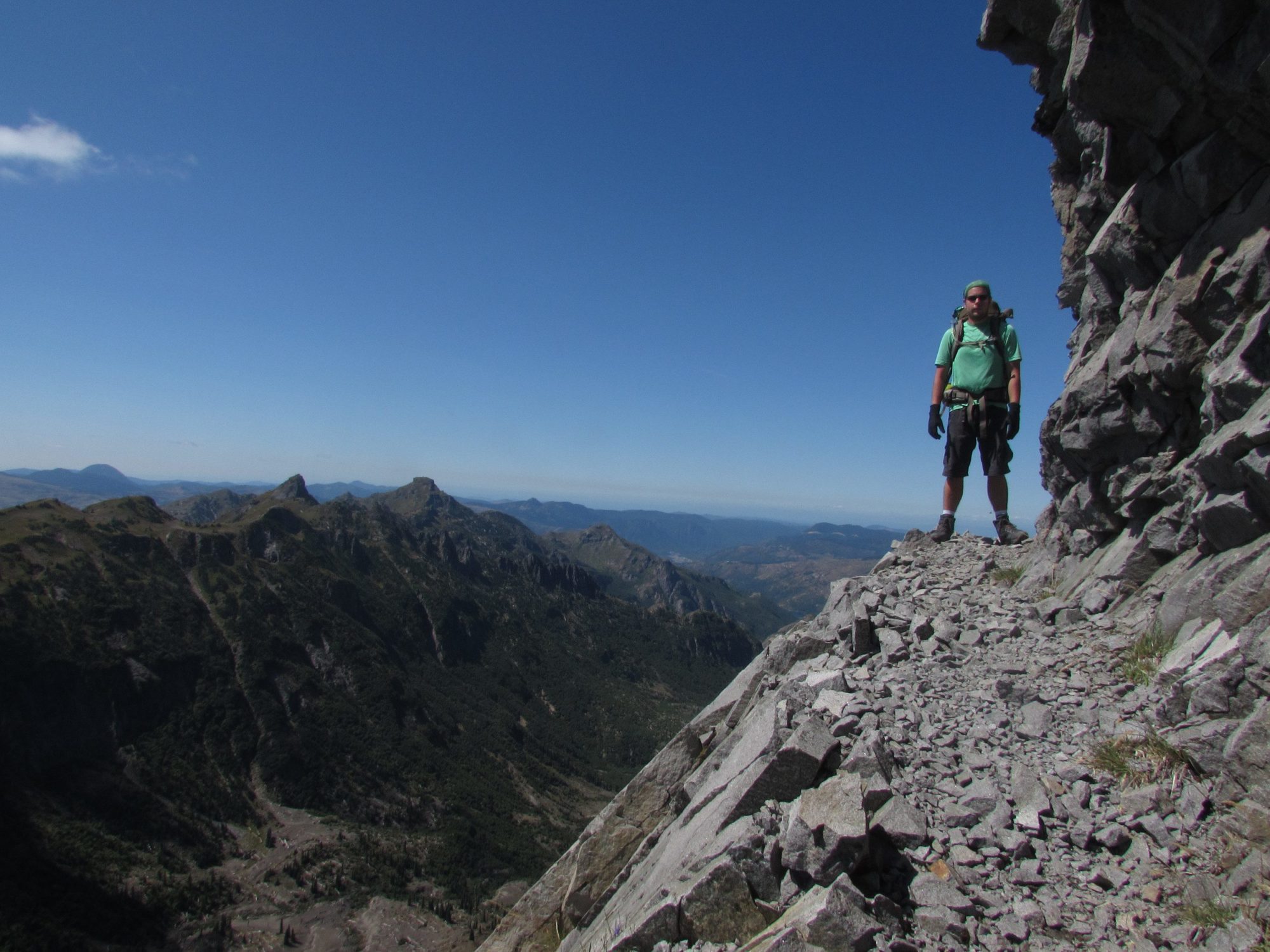
This part of the Lakes trail also has its exceptional views of Mt. Adams, which was slightly covered in forest fire smoke.Shovel lake was big and made the Whittier ridge behind it seem painted. The lake looked like it would make for some excellent camping and would have been my second choice to Panhandle lake. It does not have as much shelter and the shape of the bowl makes the sun disappear quickly
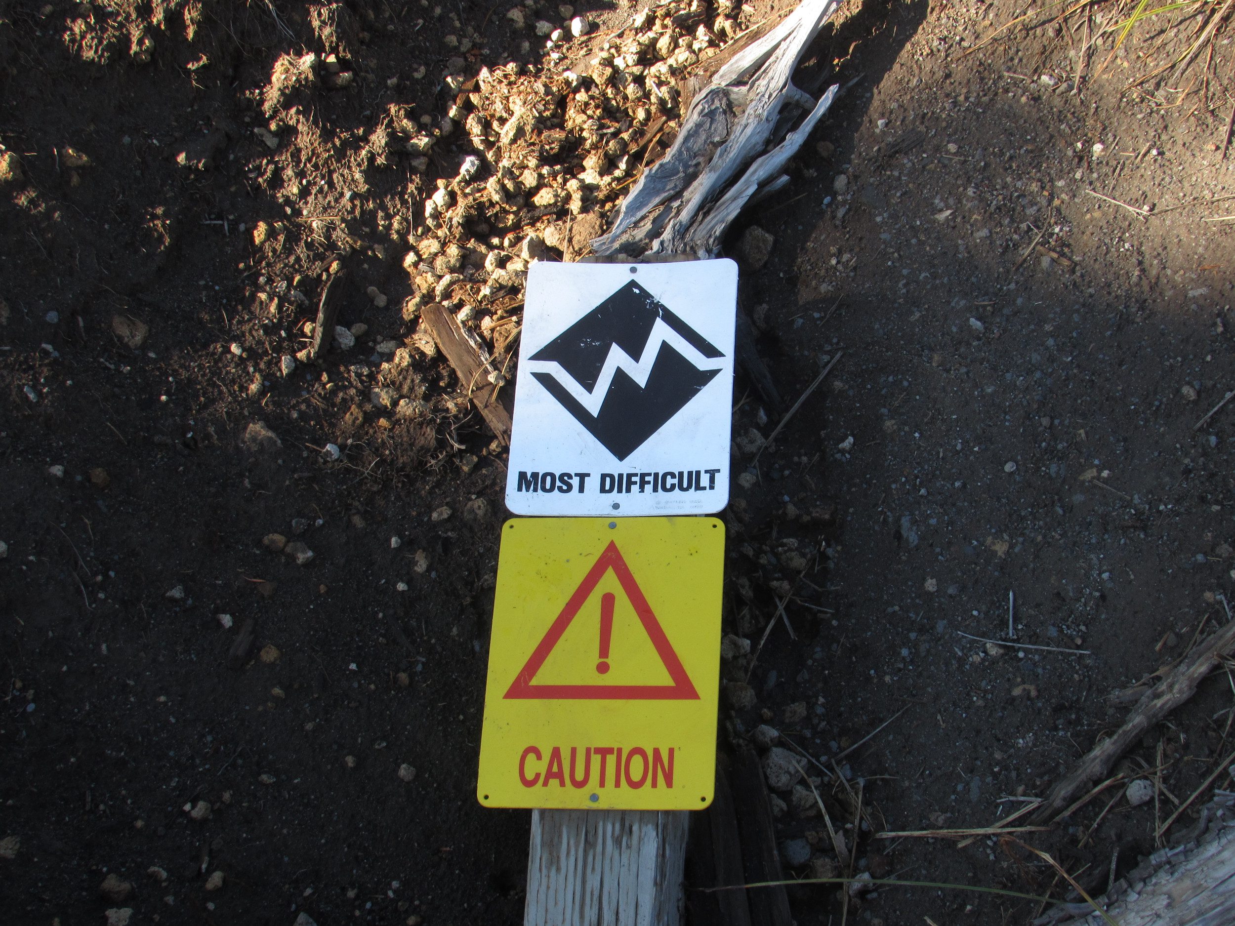
We saw snow lake from the climb up the ridge and it looked unimpressive at best. However, due to taking the difficult Whittier ridge scramble route, I know very little about the rest of the possible loop this trail can make
