Like so many of the adventures I post on this site, the climb of Mount Somers began as an overly ambitious plan to climb the mountain and run the Mount Somers track that encircles it. However, that quickly changed into a climb of the peak and an attempt at running the remaining track after descending.
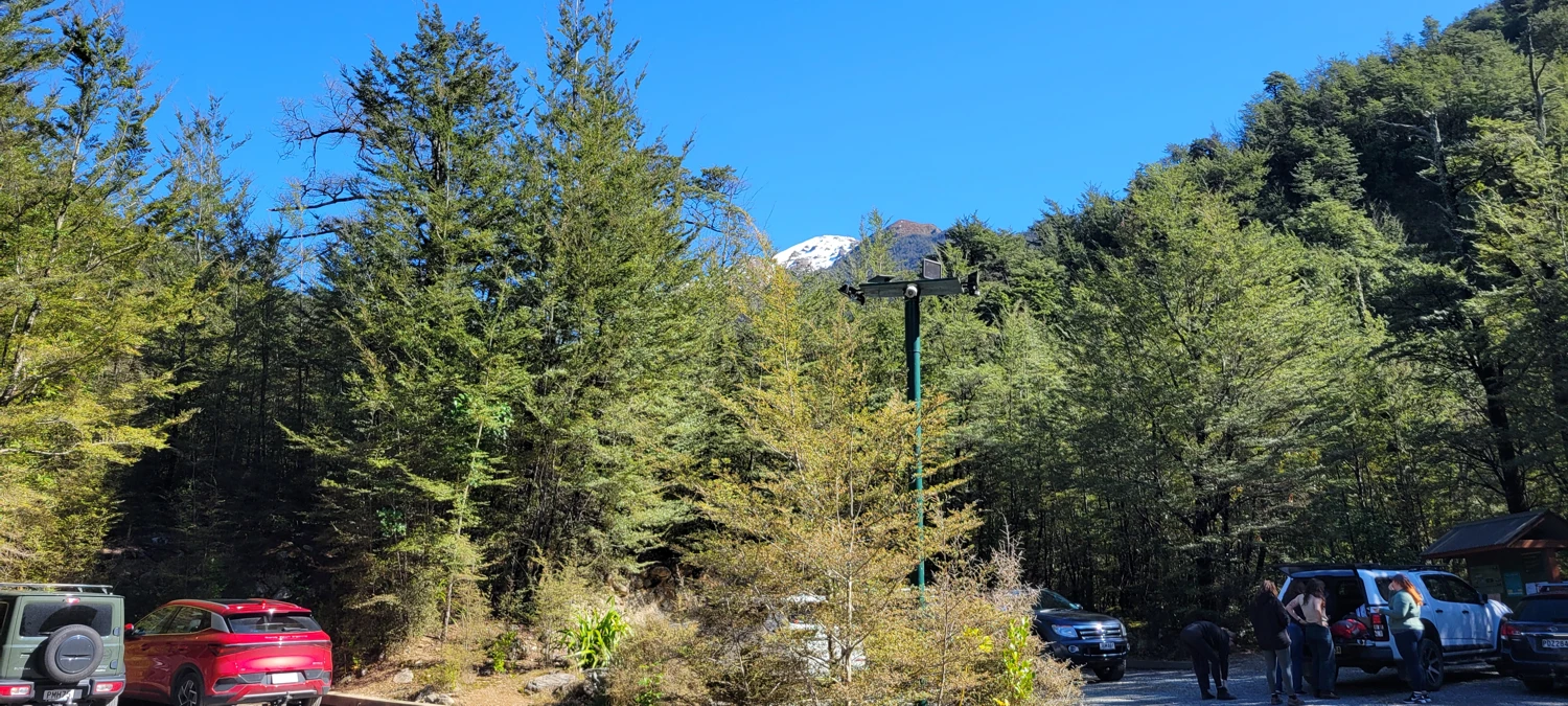
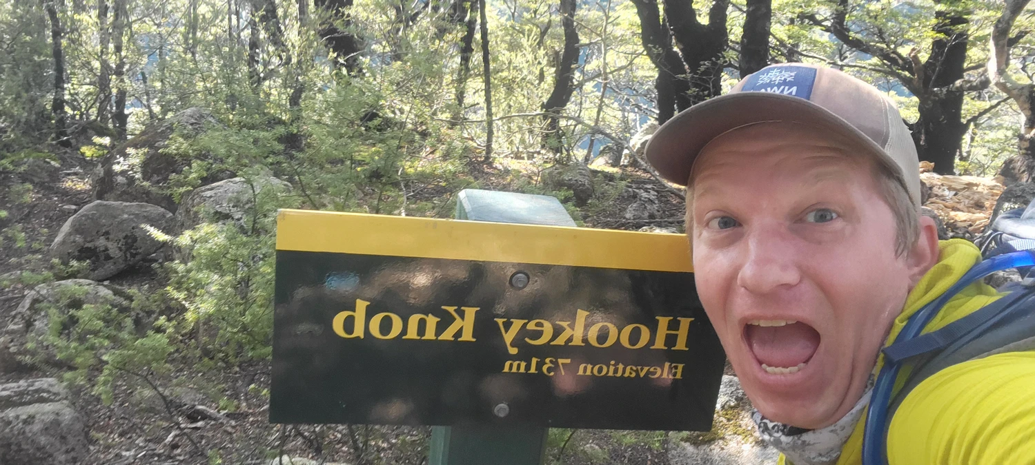
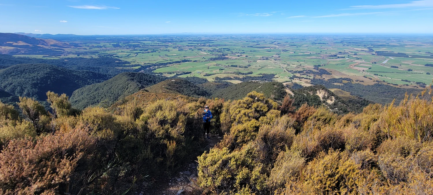
From the Sharplin Falls/Mount Somers Car Park we took the trail heading to the left along the south face of Mount Somers. From the start, the trail begins a steep climb up the side of Hookey Knob. So, despite our best efforts to run, we walked fast up the hill while we gained around 250 meters to the top of Hookey Knob.
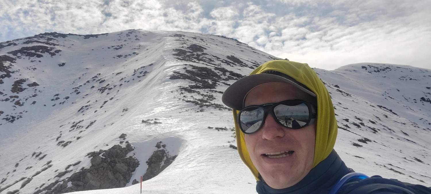
As evidenced by the photo below, I could not contain my excitement to stand atop such a monumental summit.
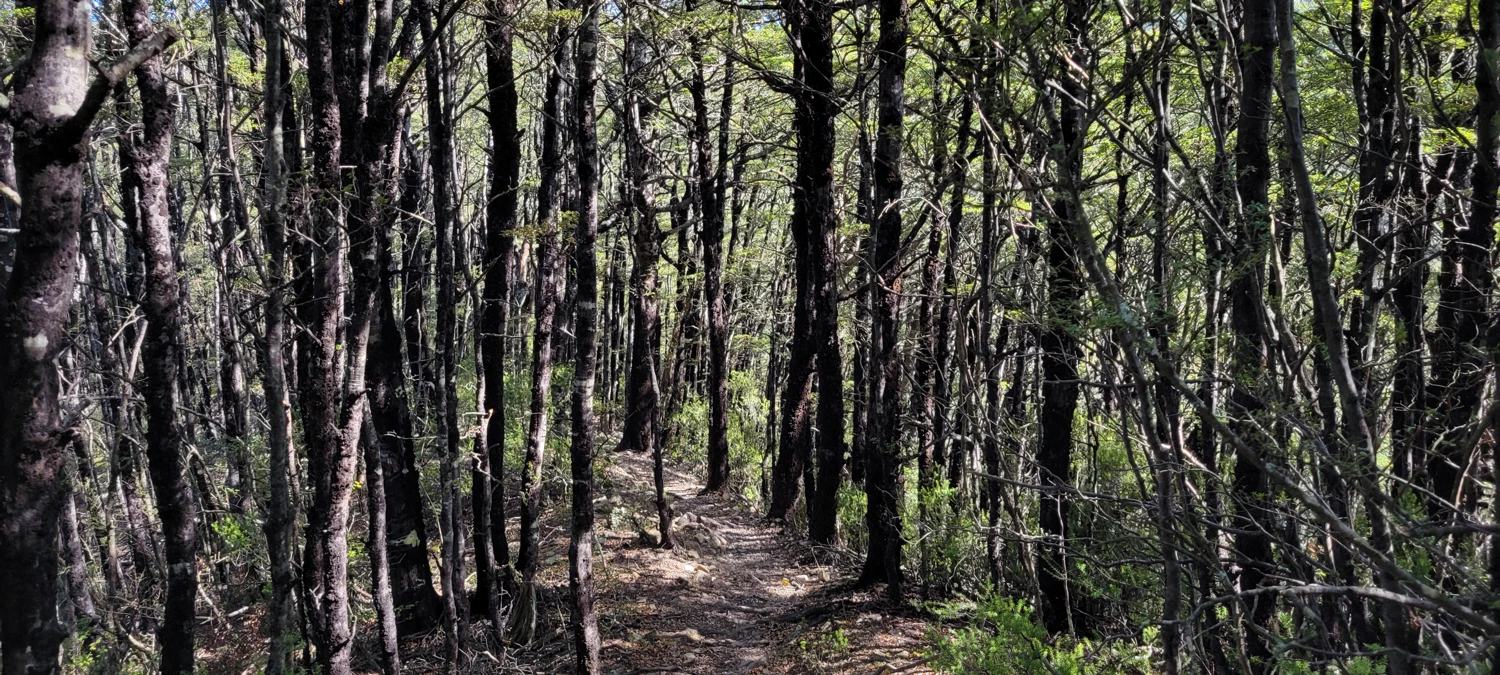
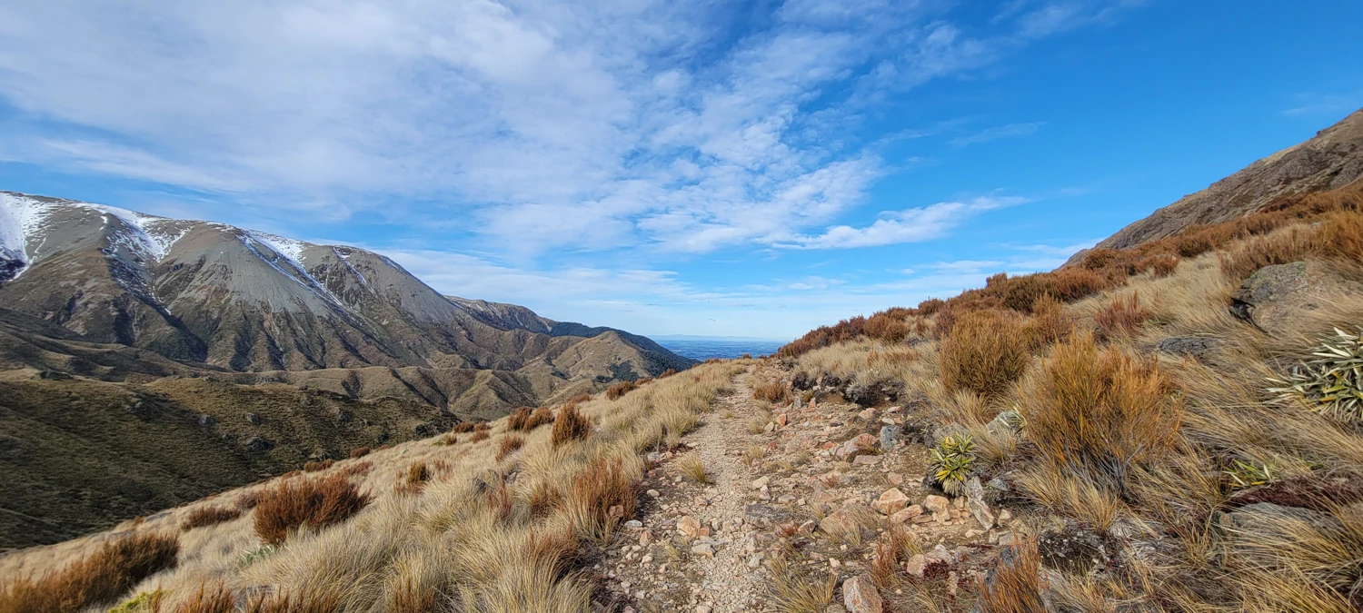
Though the map I was following appeared to show the trail leveling off after the first hill, it was quite the contrary. We could run a few more sections at this point when the trail would flatten out briefly, but we still found ourselves at a faster-paced walk than anything else.
Once we topped out on Staveley Hill we had a brief discussion about changing our plans for the day. Trailcutter had previously fast-packed the entire loop trail, and it was becoming increasingly unlikely that we could make the entire loop and climb Mount Somers on the same day. So, we both agreed to make a summit attempt and then decide from there what the rest of our route would look like for the day.
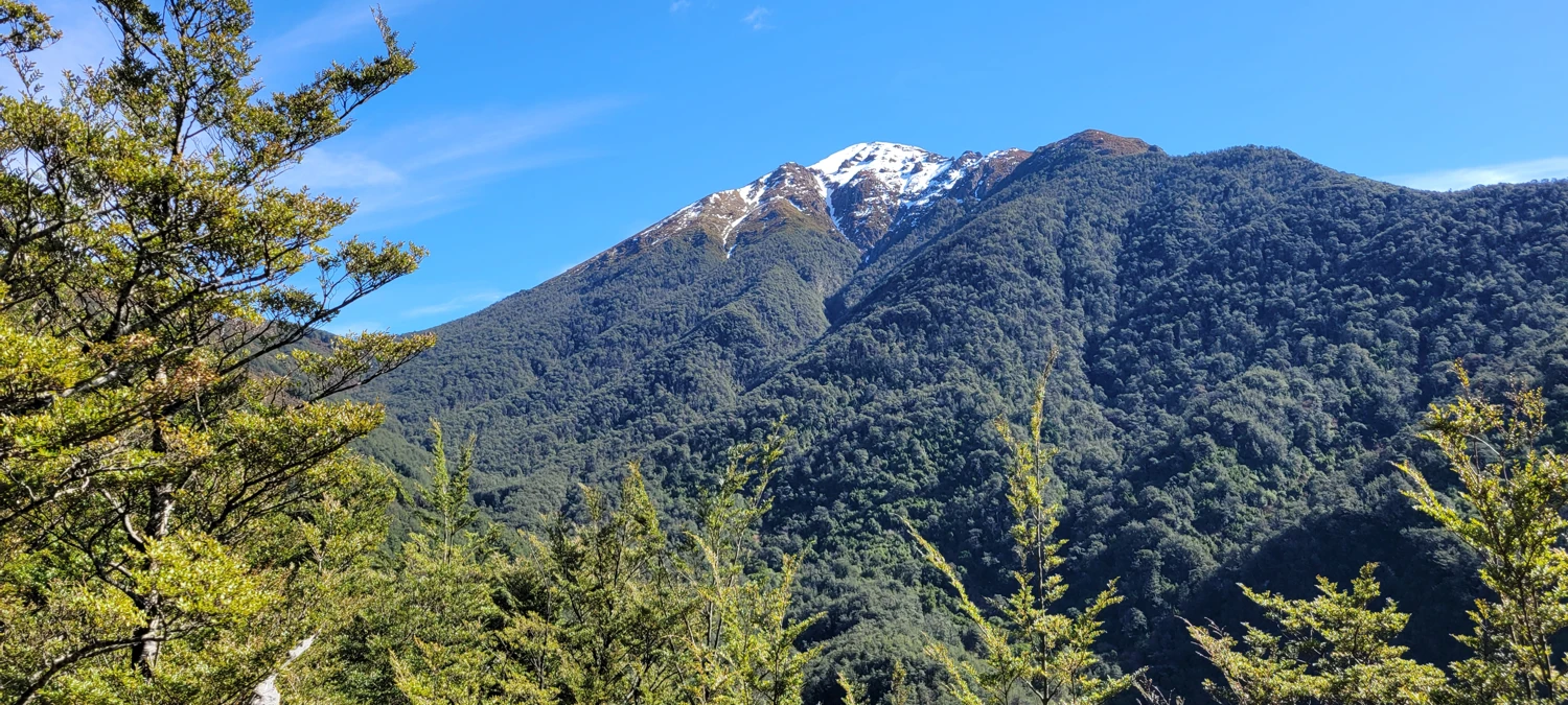
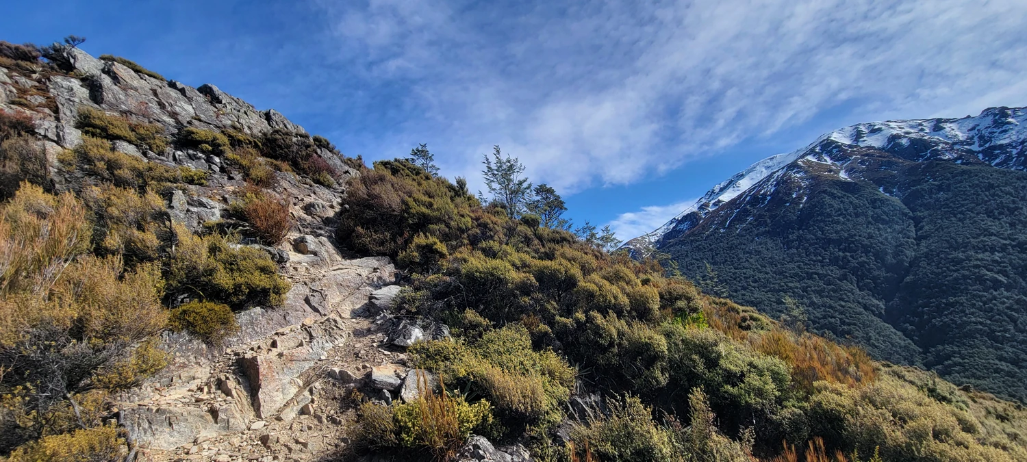
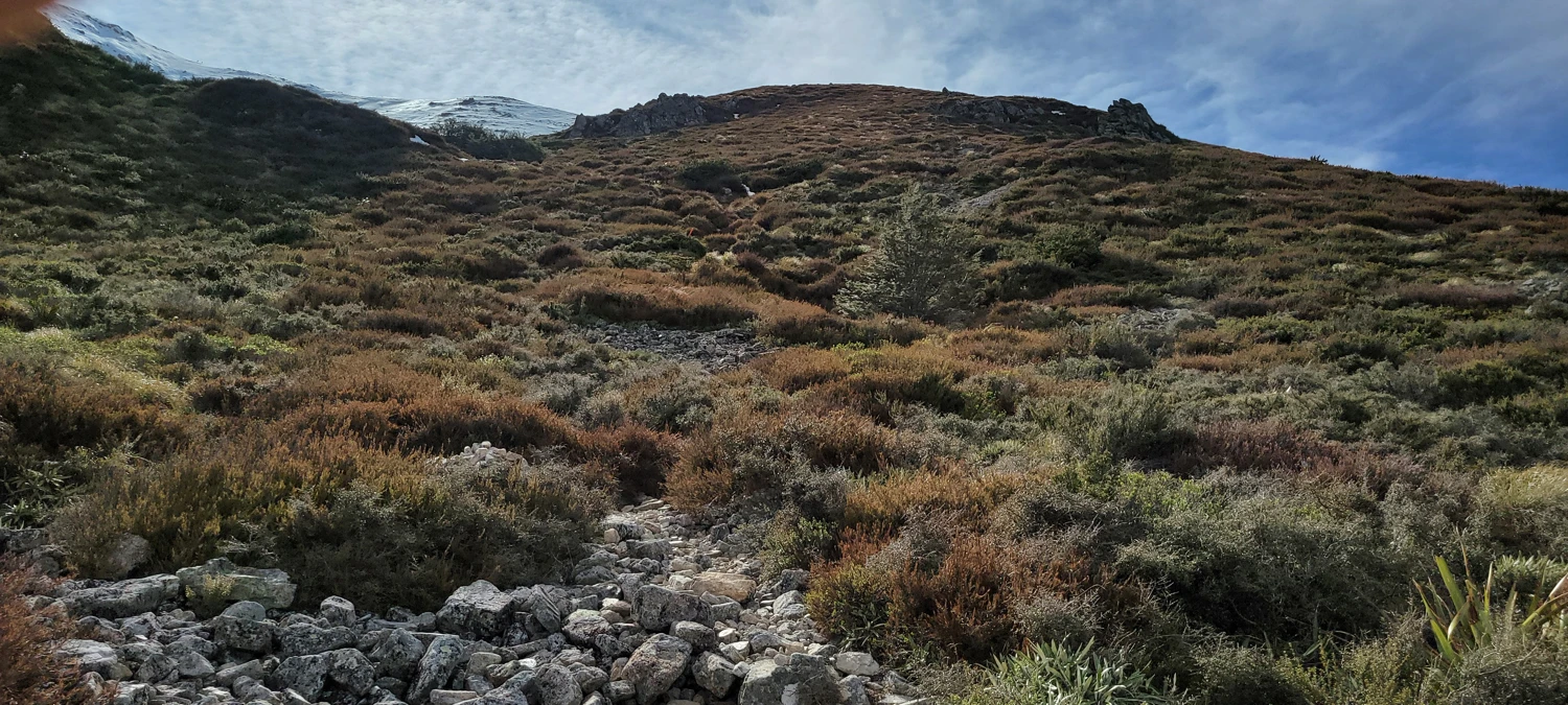
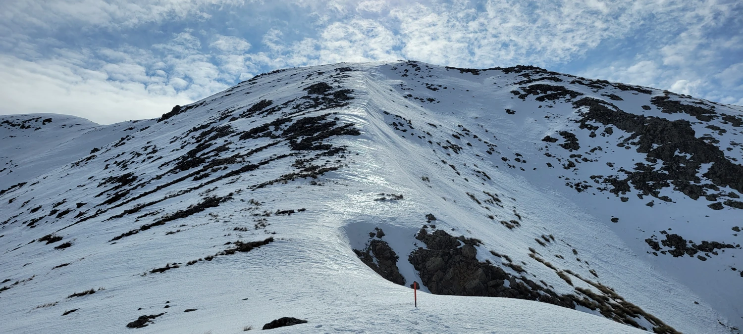
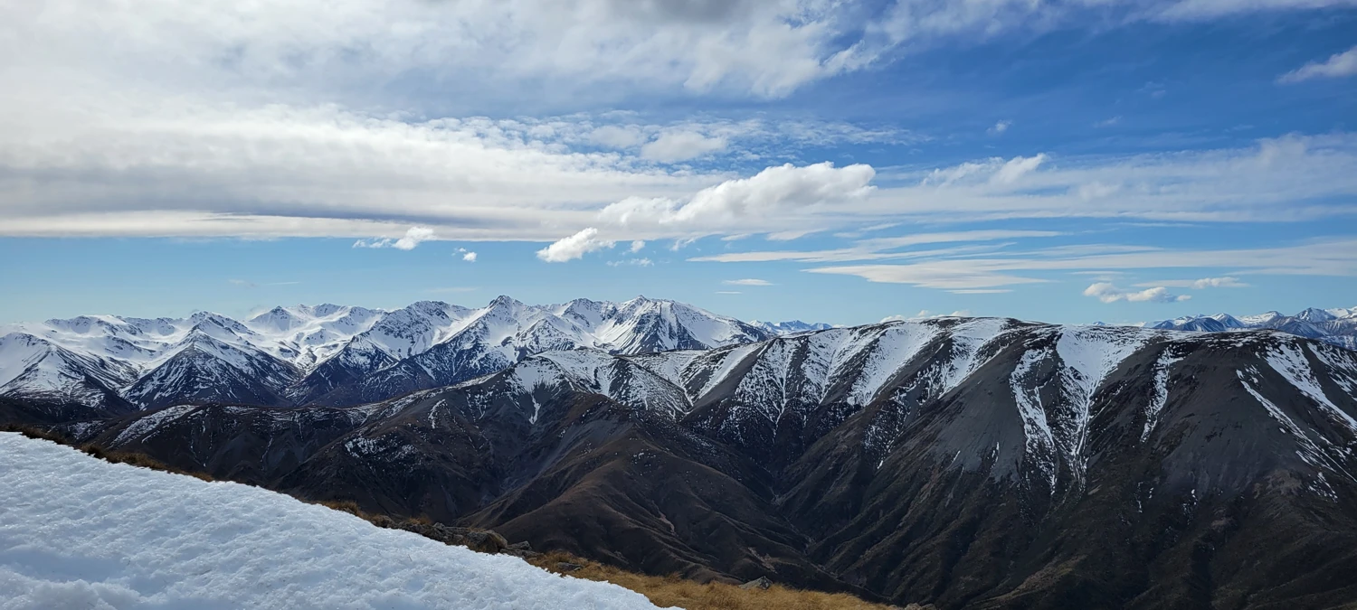
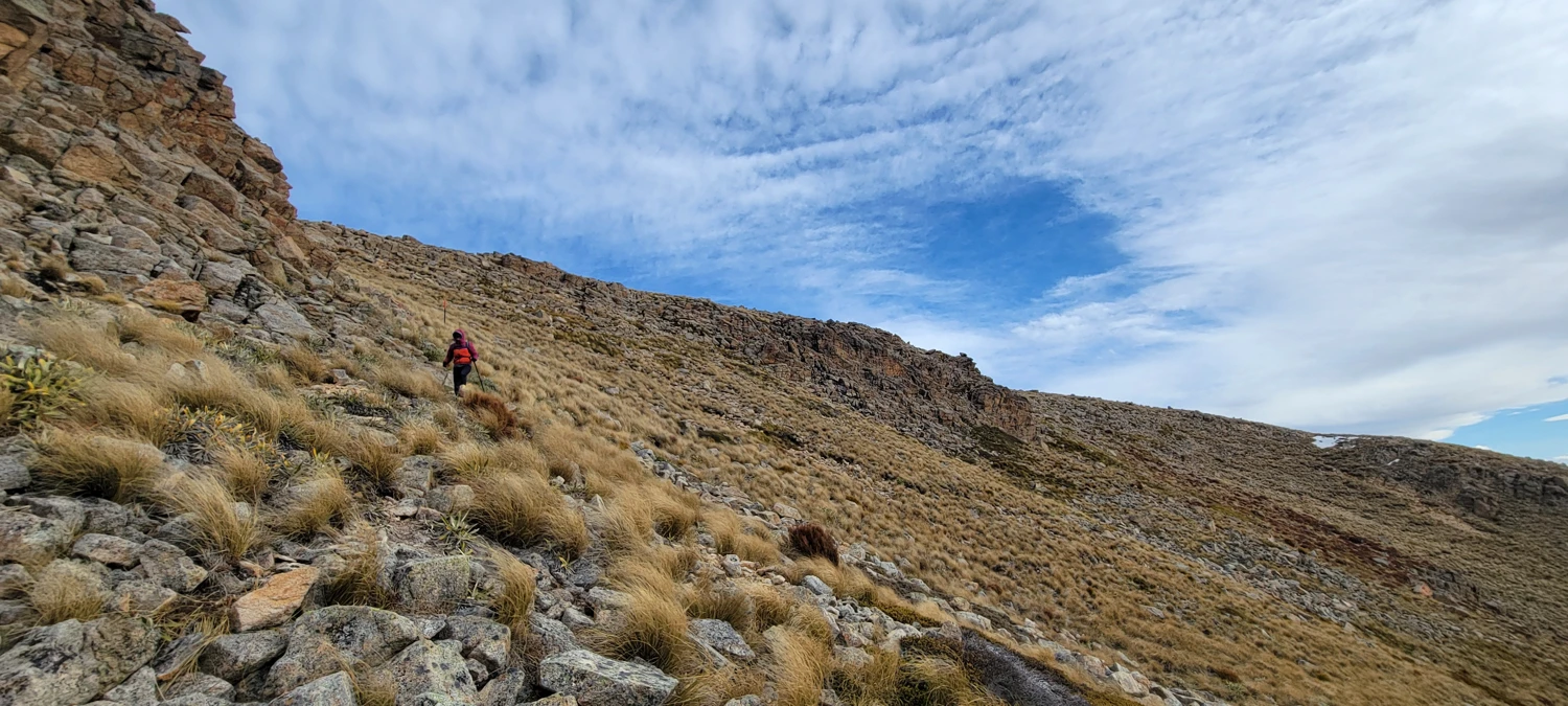
Though the route up the South Face of Mont Somers is only around 2.2 km, it gains a solid 600 meters. So, as we made our way up the hill, we took many breaks and enjoyed the scenery. During this ascent, the wind also began to pick up considerably, making the climb uncomfortably cold.
Around 1400 meters, there was a nice bench where the snow line sat. At this point, we took a long break and put on our microspikes.
Due to the cold wind and temperature, the snow heading up the steepest part of the climb was solid. While this made for good traction in most spots with our spikes on, it also had the drawback of being too solid in places, leading to some difficulty getting the spikes to stick to the surface. Luckily for us, there were other parties that had summited for the day, and their tracks made perfect stairs for us to use as climbing aids.
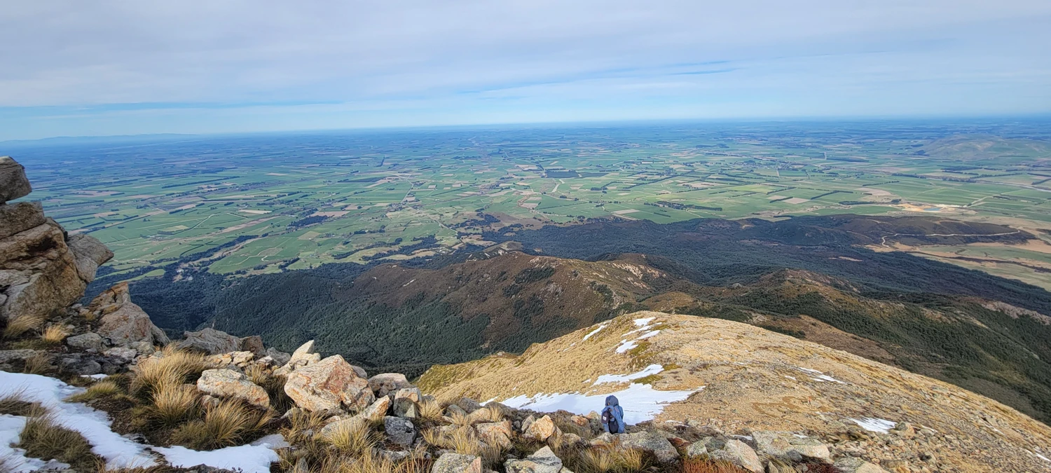
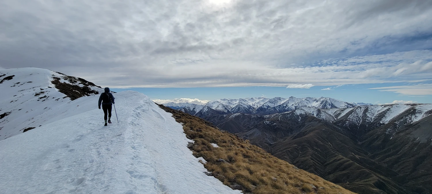
There was a fair amount of exposure off the south side of the final summit ridge. However, the north side had little snow accumulation. Since my spikes did not stick well to the solid surface, I walked on the tussock and rock surface.
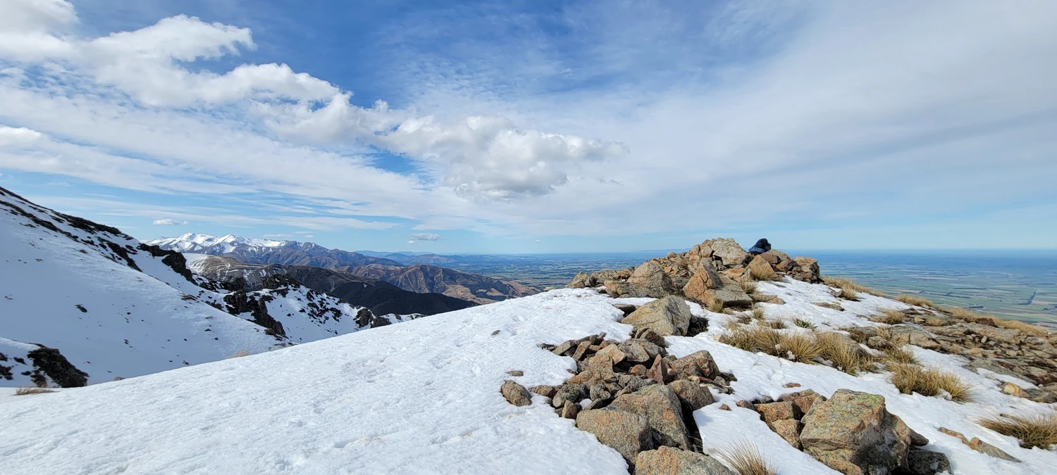
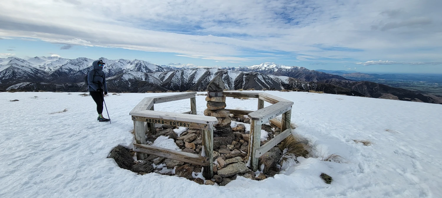
After reaching the summit, I was surprised to see a large cairn that looked almost ceremonially sitting atop Mount Somers' summit. Railings surround it, and the rocks appear to be cemented together. Much to my surprise, it also contains a summit register. While these registers are standard back in my home state of Washington, this is the first I have ever seen on a New Zealand Mountain. So, with joy, I gladly left my mark to prove I had summited this peak.
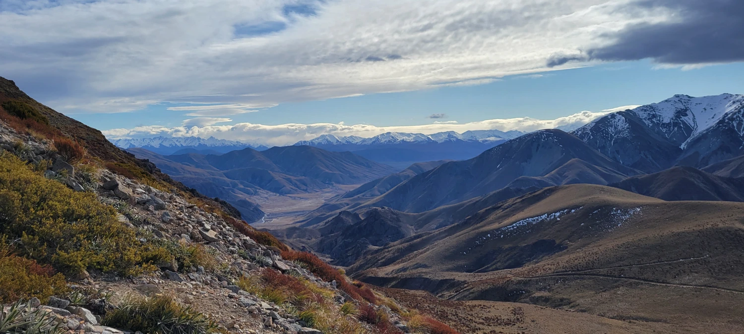
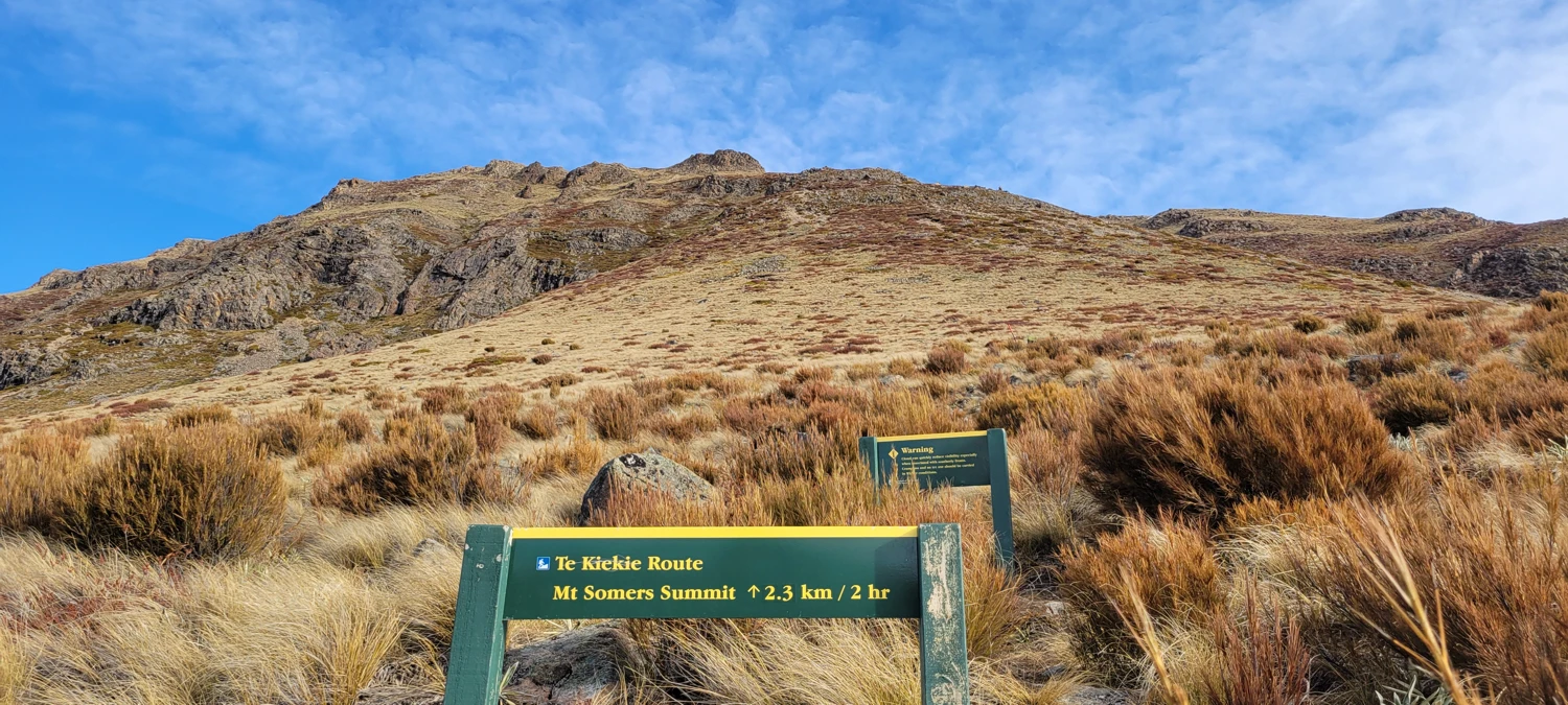
The wind on top of Mount Somers was extremely stiff, so after a very brief stay, we began to decide how to descend and hike back to the car. Gaia Maps shows a faint trail that leads down to the mountain's north side, to which the maps platform claims it has no access. However, before we left, I looked this up on the New Zealand DOC Website and found that the track is an active route that does not receive maintenance. The track is called the Te KieKie route in case anyone out there wants to take a peak before climbing Mount Somers.
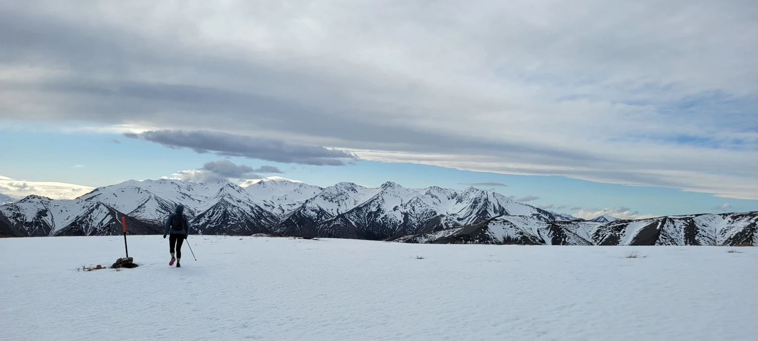
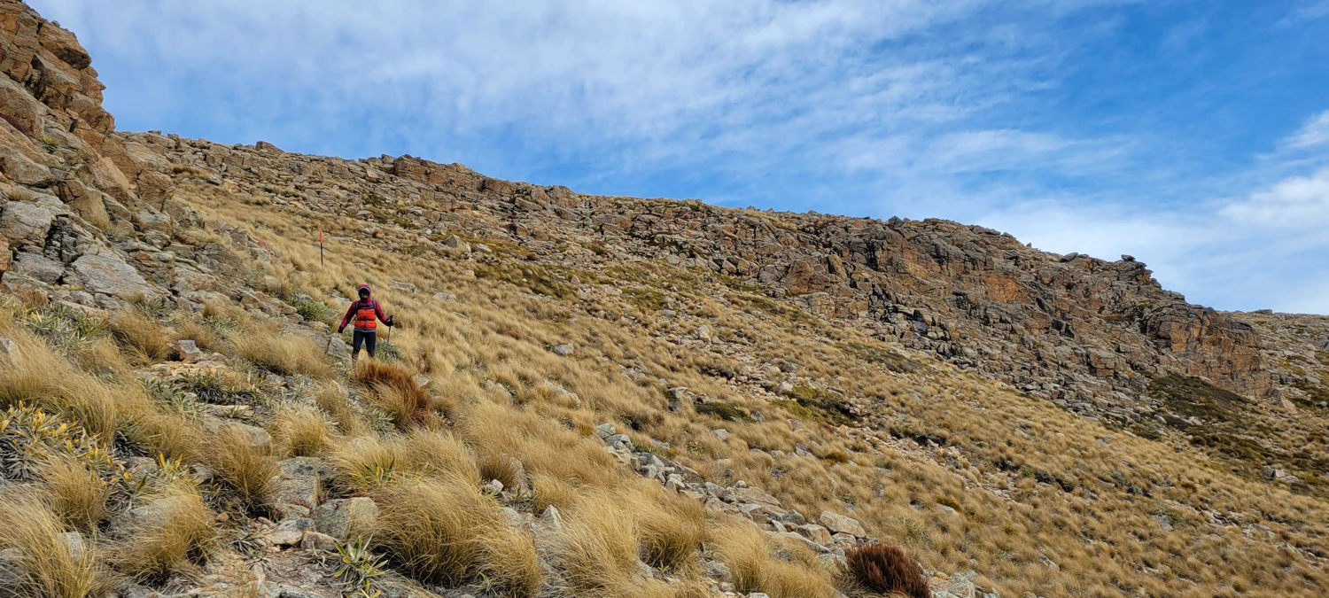
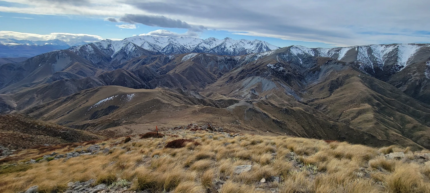
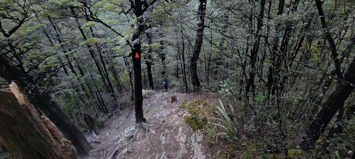
The descent on this route was easy to follow as poles with orange markers were placed along the hillside. But, the wind I previously mentioned had increased significantly by this time. A few of the gusts were strong enough that I needed to brace myself occasionally to prevent myself from falling over. The trail is undefined for the most part, but, at least on the descent, we did not need to navigate extensively as the Mount Somers track is visible the whole time. Once back on the track, we decided to attempt running back to the car to at least make half our trip into a trail run for the day.
From where the Te KieKie route meets with the main loop track until the Pinnacles Hut, we managed to make most of it into an easy run—this section of the track heads gently downhill through open country. The only drawback was that the trail is a bit rocky in spots making foot placement the only real challenege.
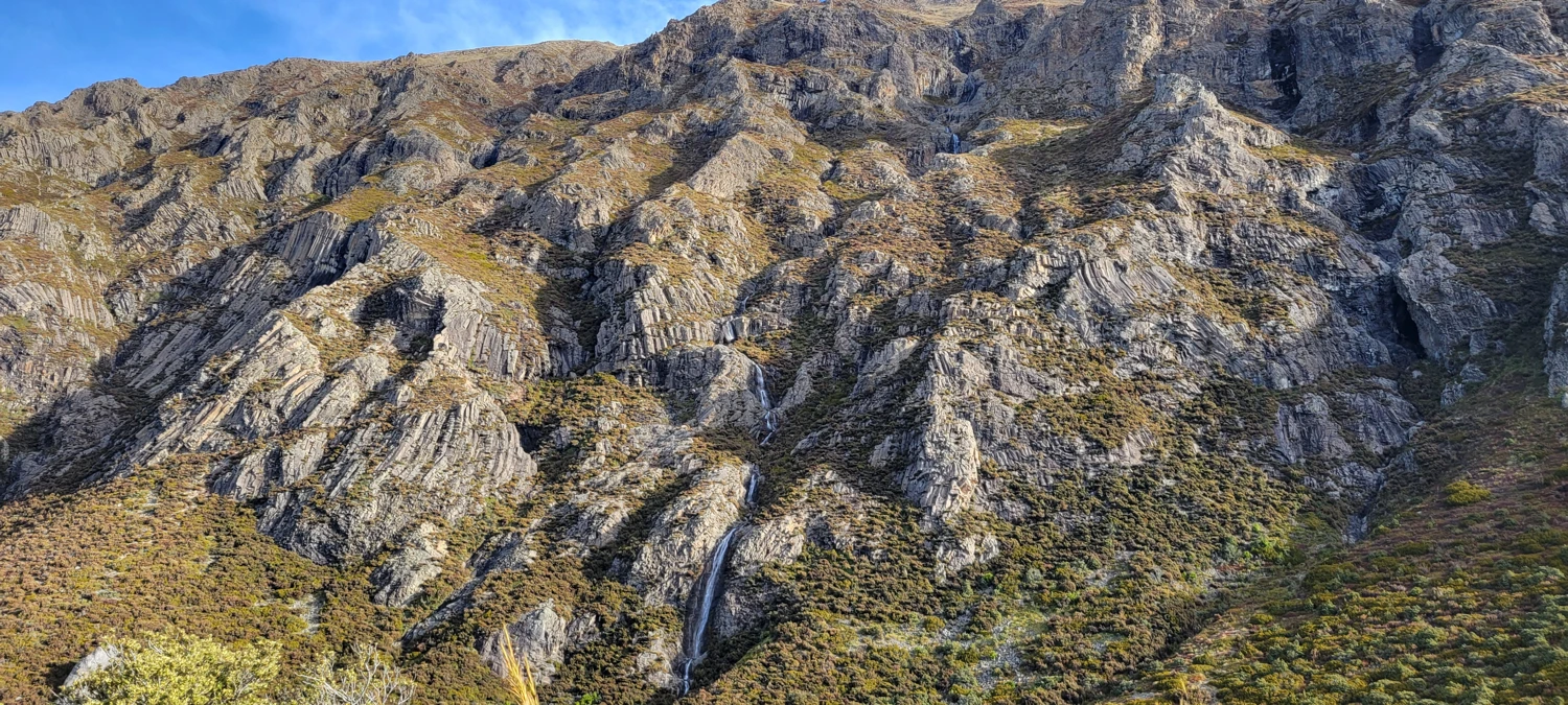
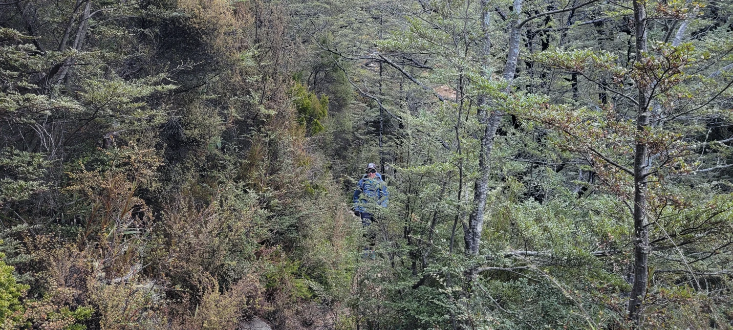
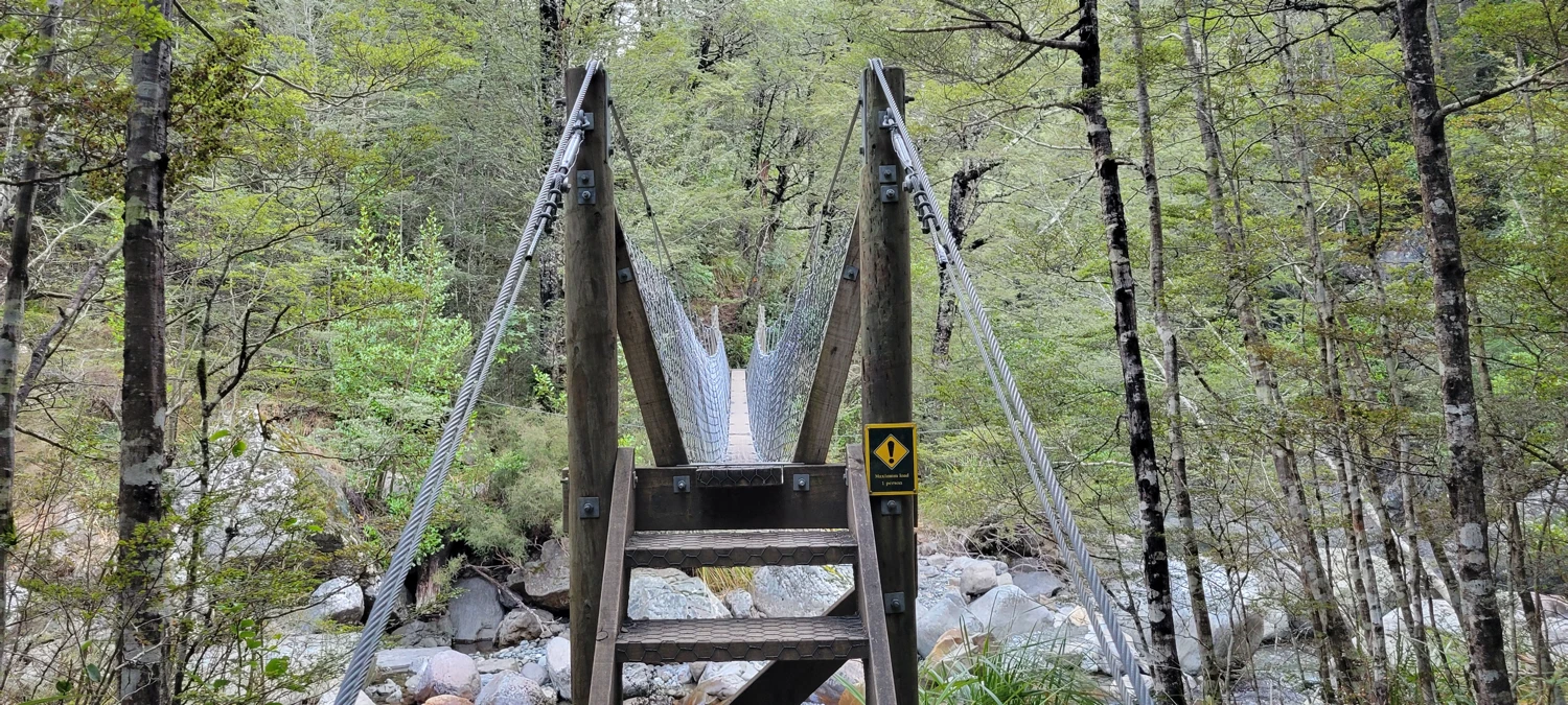
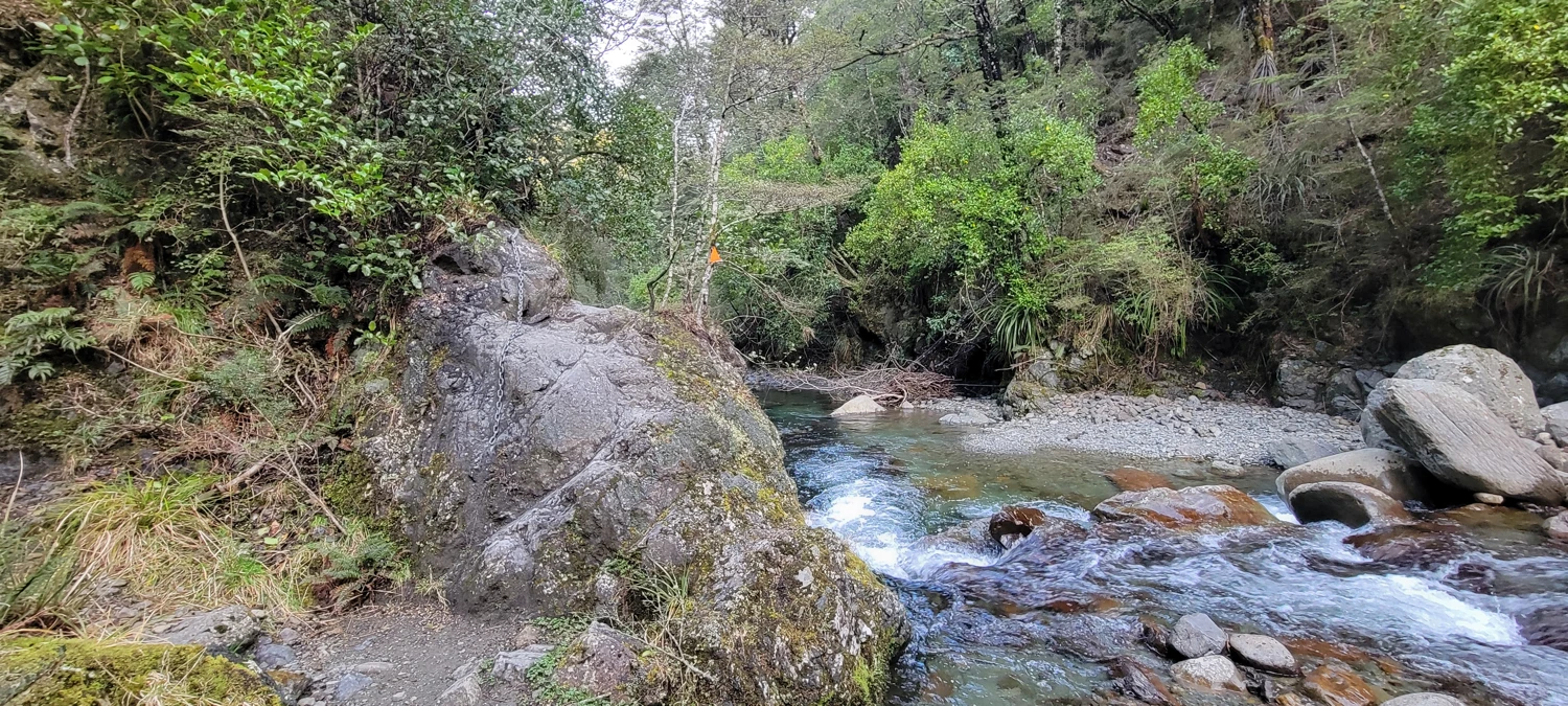
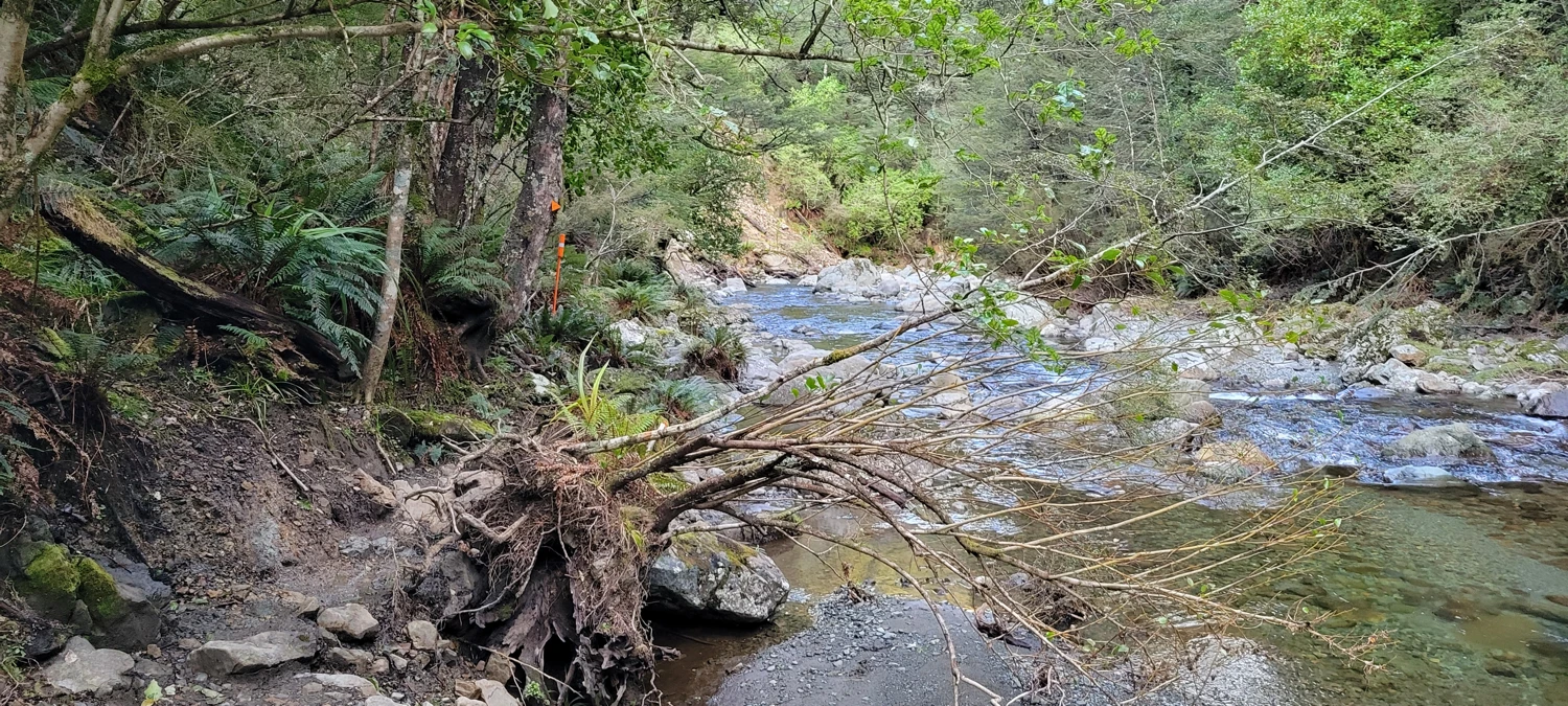
After leaving the hut, the track descends into the valley to follow Bowyers stream on the way back to the car park. While I was hoping to run this last section and get back to the car before dark, the track became quite technical as a run once it approached the stream. While following the stream, the track crisscrosses the water without bridges in spots. A couple of sections even had chains installed to assist in walking across wet rock. There were clear signs that, at some point, the old trail was washed away, making the track once again a hike instead of a run.
The final ascent to Duke Knob was a tedious steep climb. After the multiple ascents of the day, it was clear our legs were wearing thin on energy as we slowed to a snail's pace.
From Duke knob back to the car, we jogged our way along and made it back in around 20 minutes from the top and just before dark.
Our climb of Mount Somers was quite an attempt at going for a trail run that turned into a hike for the day.


