





 Dec 27, 2025
The hardest part about the Abel Tasman Coast Track isn’t the distance, the hills, or even the long day on your feet — it’s the logistics. More specifically, it’s the tidal crossings. If you don’t plan those correctly, your day is over before it even begins.
There are three major tidal crossings to think about when planning to run or hike the full track: Torrent Bay Estuary, Awaroa Inlet, and Goat Bay. Torrent Bay and Goat Bay can both be bypassed via high tide routes. These add a few extra kilometers, but they make the logistics much more manageable. Awaroa Inlet, however, is non-negotiable. There is no alternate route. You can only cross during a specific window around low tide, and if the timing doesn’t work, neither does your run.
This single crossing had stopped us from attempting the track in a day multiple times before. The low tide times just never lined up in a way that made sense. This time, though, I finally managed to map out a route that worked with the tides and allowed us to get some sleep beforehand at Mārahau beach camp, which made the early start much more manageable.
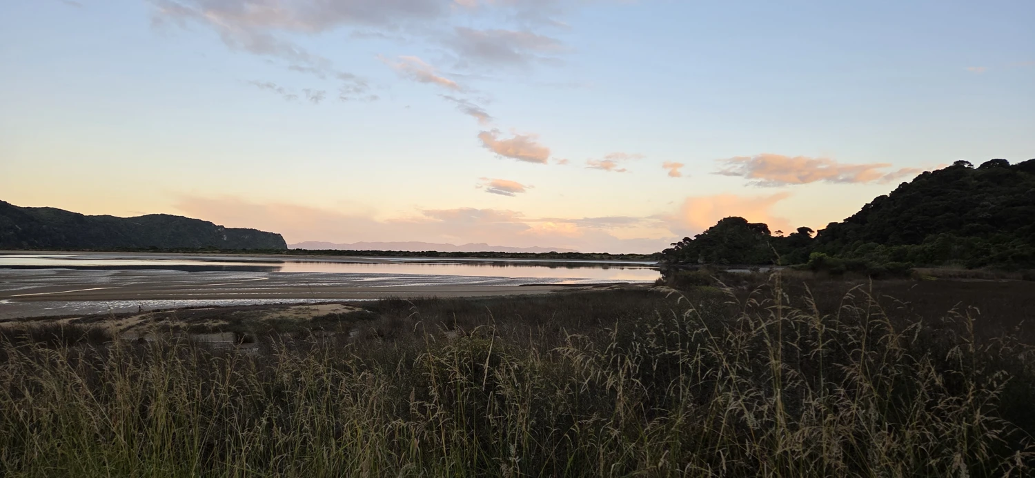
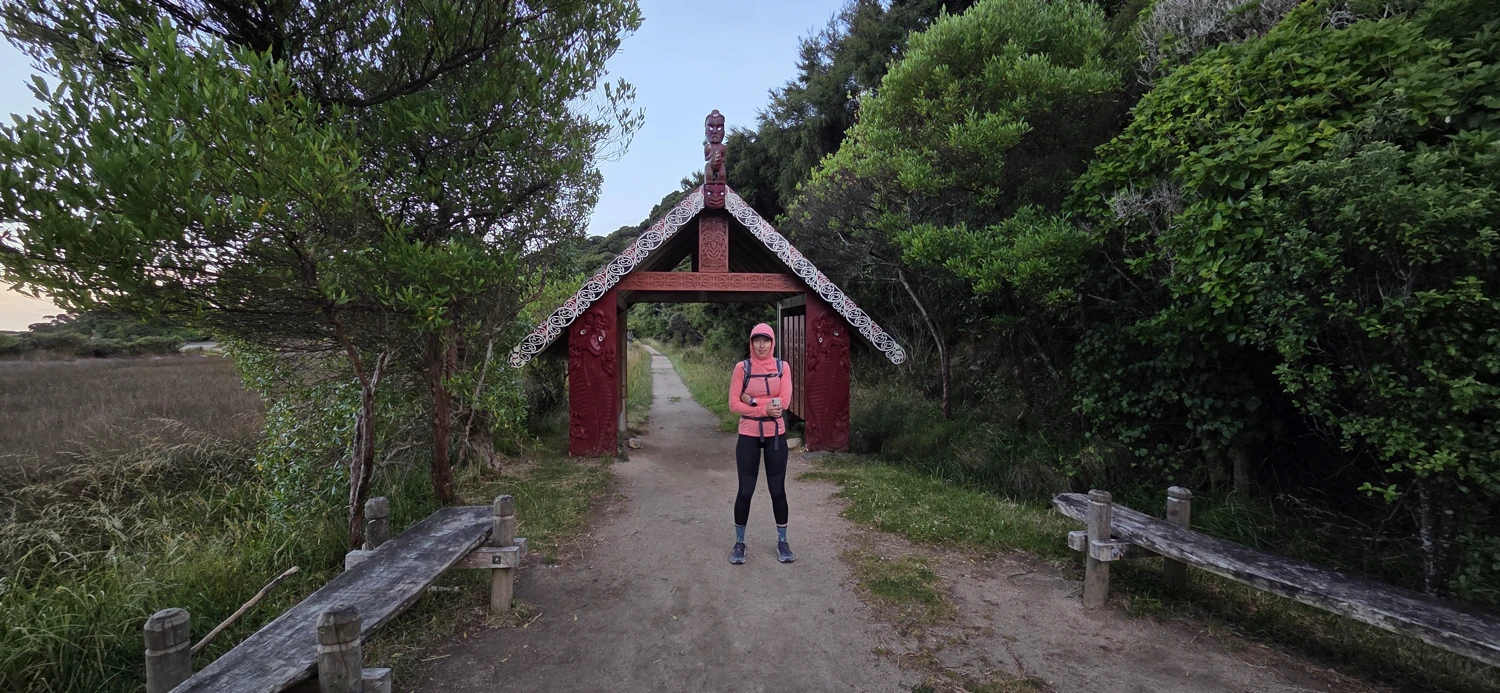
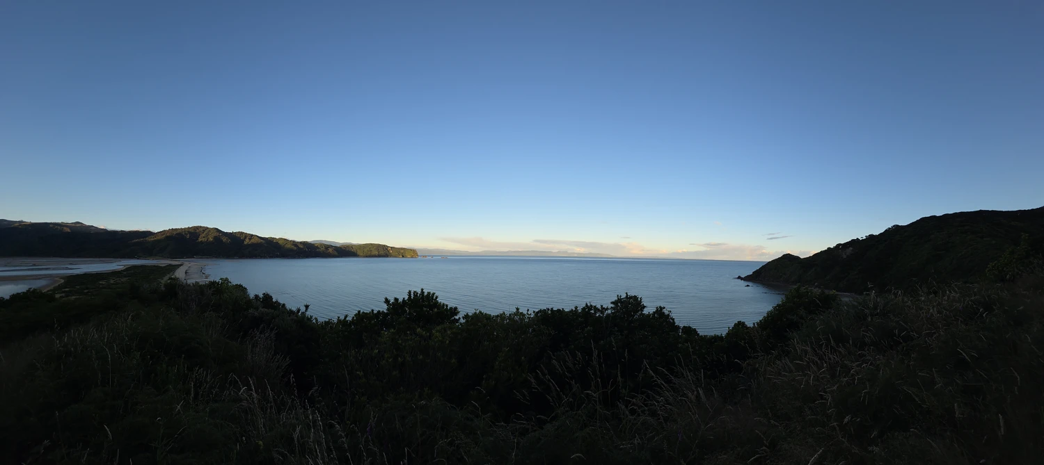
We started from the Golden Bay end of the track at around 6am. The first 5km honestly felt like a bit of a slog — a fairly steep uphill climb through the bush with only limited views. It’s not a bad track, but it’s not exactly inspiring when you know you’ve got a very long day ahead.
We kept the pace controlled here, partly to conserve energy and partly to warm up properly. Blowing up early on a 50+ km day would be a big mistake.
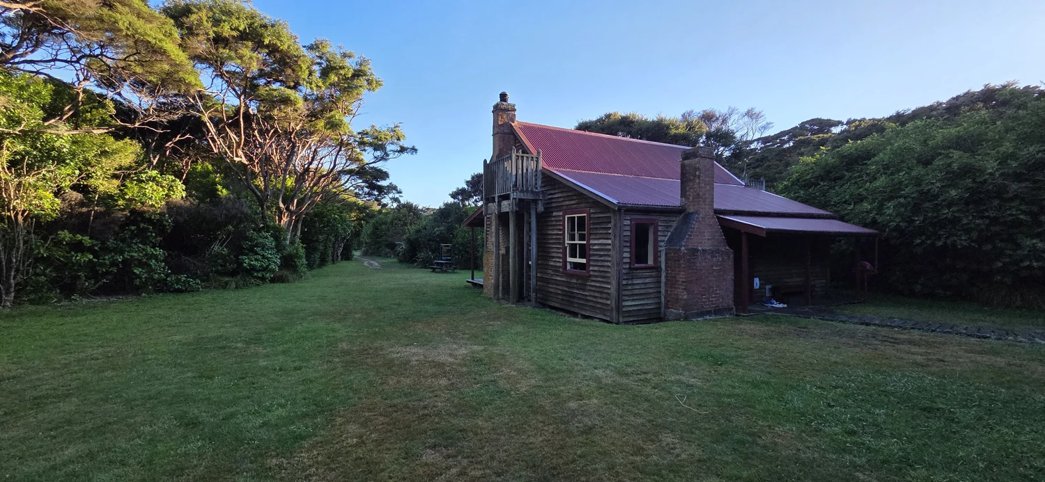
We reached Whariwharangi Hut/Camp in just under an hour of fast walking.
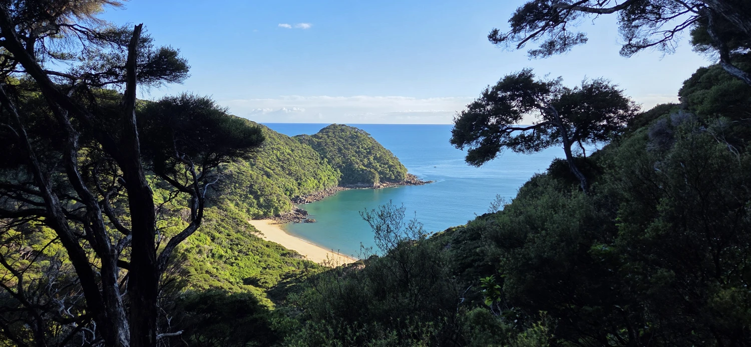
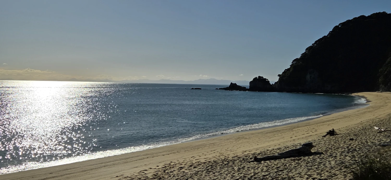
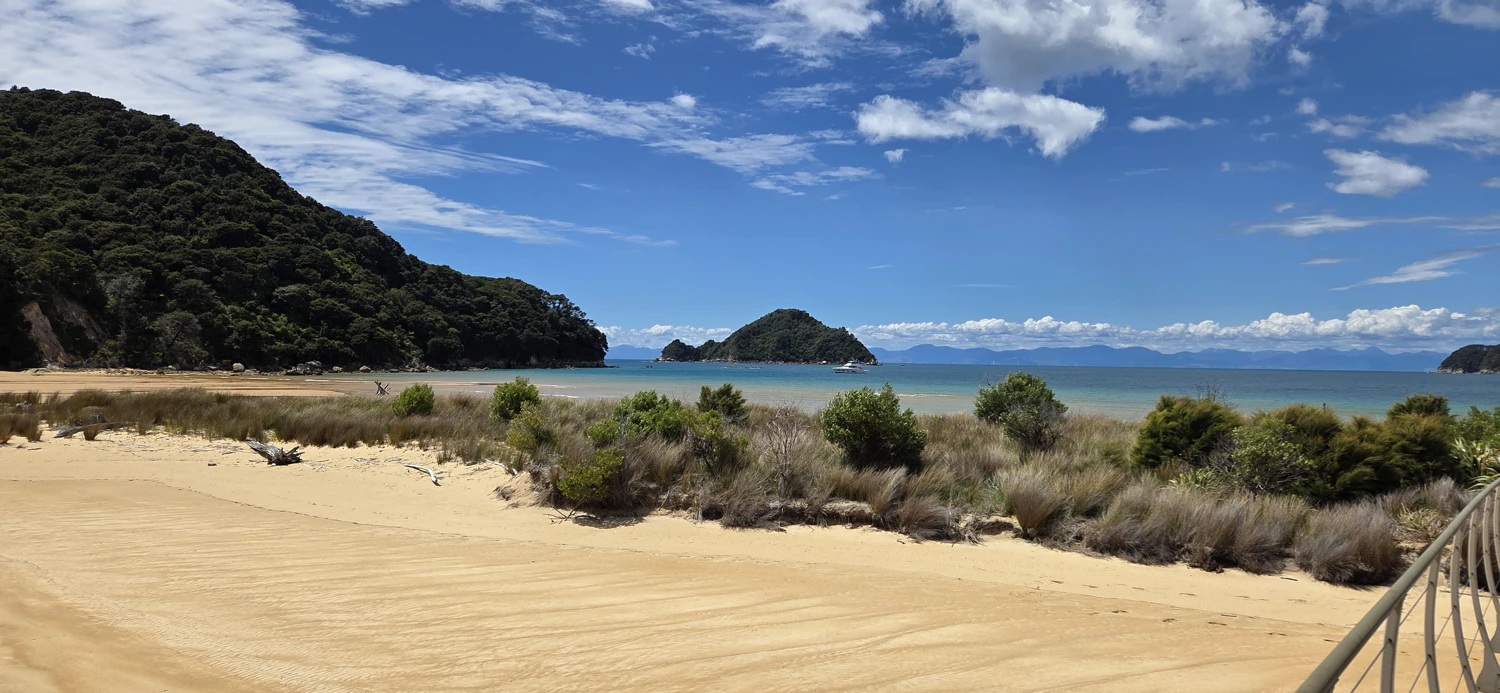
Mutton Cove and Anatakapau Bay were the first real taste of the famous Abel Tasman scenery — blue-green water filling the bay, wide sandy beaches, and that classic coastline that you see in all the photos.
We slowed down a bit here, partly to soak in the views and partly to snap some photos. Up until this point, the track had mostly been in the bush, so it felt good to finally see the coastline properly.
After passing through this area, we picked the pace back up. We had to move quickly through Tōtaranui and push toward Awaroa Inlet before the tide shifted.
If I were to do the Abel Tasman again, I would seriously consider starting at Tōtaranui instead of doing the full track in a day.
Totaranui would be an excellent place to camp. It has a long sandy beach, clear blue-green water to swim in, and plenty of space throughout the campground.
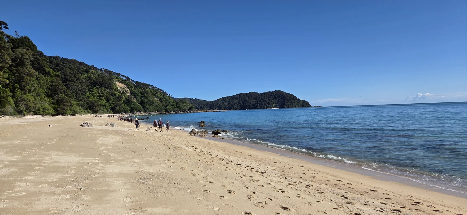
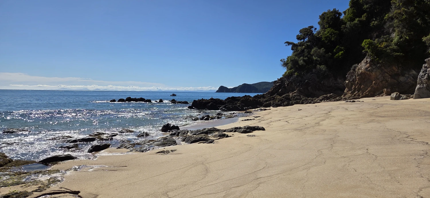
It’s also a very practical starting point if you want to run or hike the Abel Tasman Track in a day. Water taxis travel from Mārahau to Tōtaranui throughout the day, and starting here cuts off about 10km of the track while still giving you access to some of the best sections.
We’ll come back to this in the logistics section at the end, because this is probably the smartest way to approach a one-day crossing.
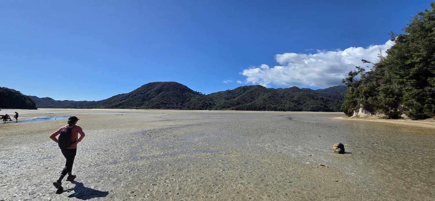
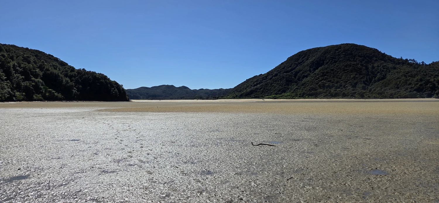
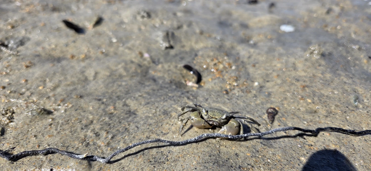
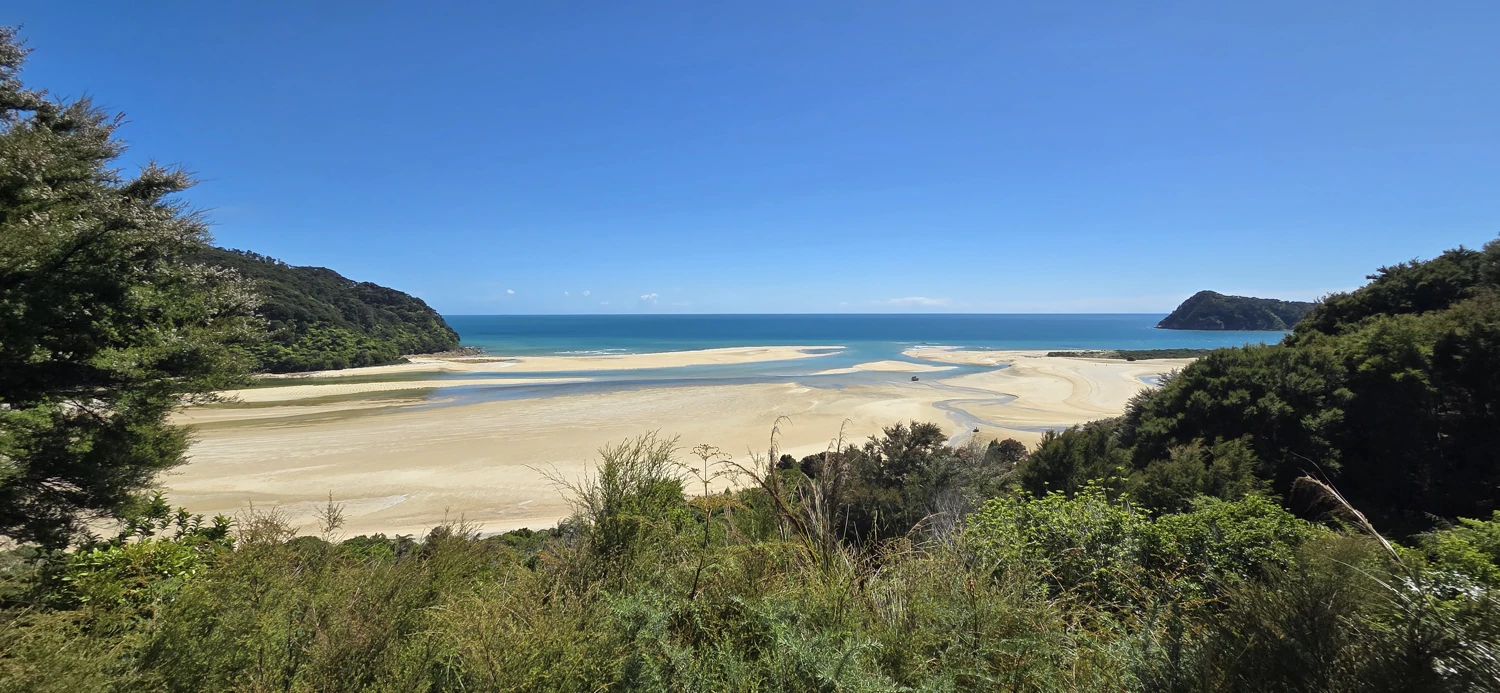
Awaroa Inlet would be completely impossible to cross if the tide had come in. This is not a crossing you can rush or improvise — you absolutely need to plan around the tide tables.
Make sure to check the Abel Tasman tide tables before attempting this.
The crossing took us around 30 minutes, which lines up pretty well with DOC’s estimate of about 25 minutes. We took our time, stopped for a few photos, and took our shoes off so we wouldn’t be running the rest of the day in wet shoes.
Once you cross Awaroa, you’re committed. From here on, your day is basically dictated by daylight and distance.
This is where the day became a bit disappointing for me.
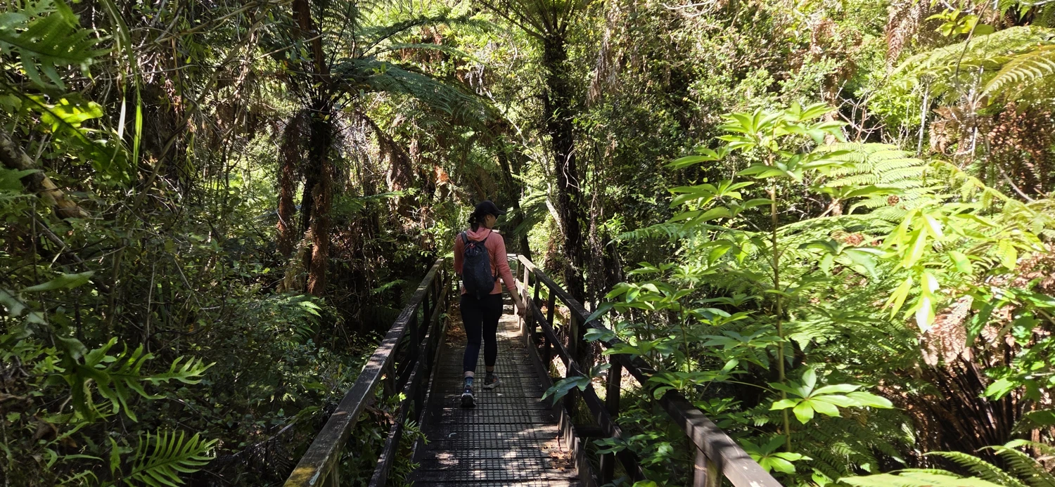
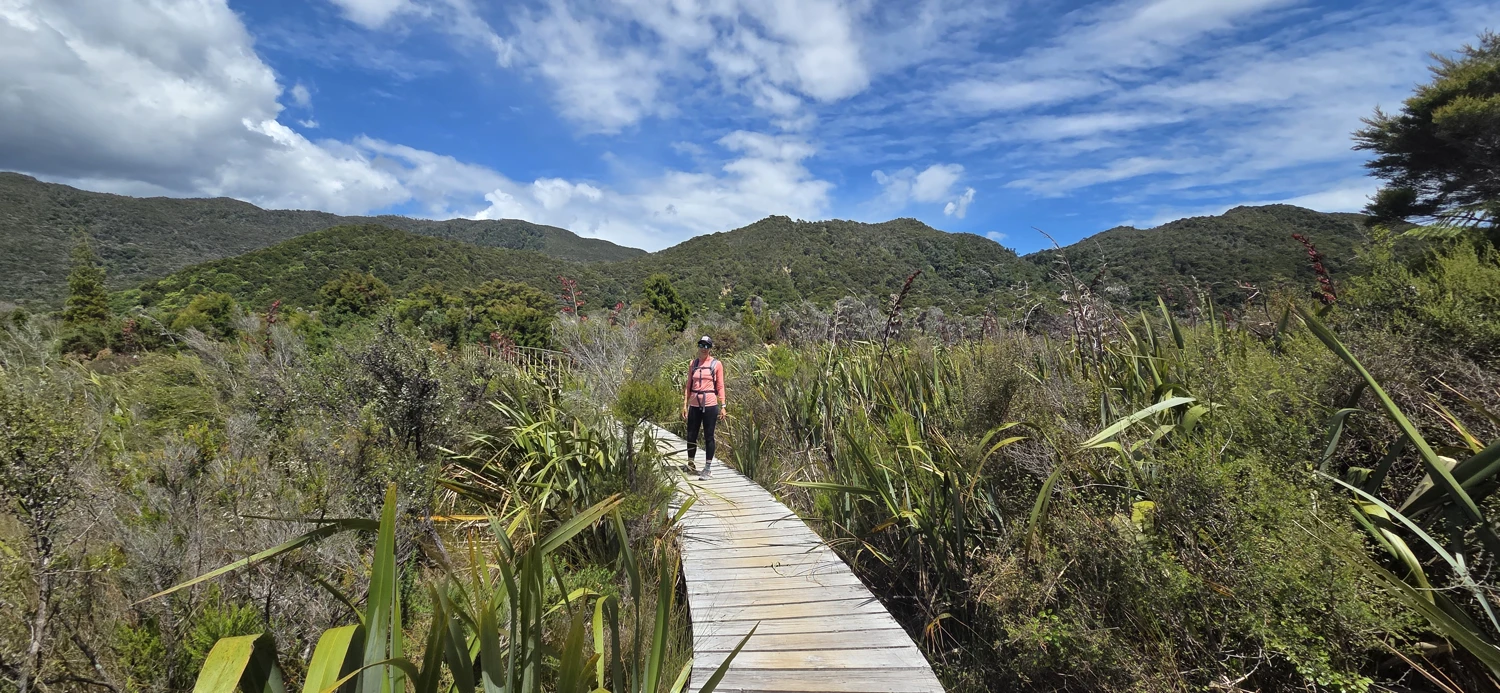
I had expected lots of beaches and constant views of those glistening bays you see in all the Abel Tasman photos. But the reality is that much of the track after Awaroa runs through heavily wooded areas with only occasional peekaboo views of the coastline.
There are some viewpoints and a few beach sections, but far fewer than I had anticipated.
This might actually be why it took me so long to get this post written. It’s hard to write an enthusiastic trip report when the experience didn’t quite match what you had built up in your head.
Final Verdict: Is Running the Abel Tasman Worth It? Honestly. Not really.
If you want to truly experience Abel Tasman, hike it or kayak it.
Most of the best beaches are accessed by side trails that take you off the main track and down to the water. When you’re trying to run the entire track in a single day, you just don’t have time to explore these side trails, sit on the beaches, swim, or actually enjoy the place.
Instead, you spend the entire day:
- Watching the clock
- Watching the tide
- Managing energy
- Pushing distance
It becomes a logistics challenge rather than a scenic adventure.
Trying to fit the entire track into a 12-hour day makes it feel rushed, stressful, and honestly takes away from what makes Abel Tasman special in the first place.
It’s a place that should be experienced slowly.
Dec 28, 2025
We woke up early in Mārahau, a little sore from the previous day, but relieved that the big effort was behind us. Day two was all about logistics — getting back to the car at the Golden Bay end of the track — but it ended up being a really enjoyable part of the trip in its own way.
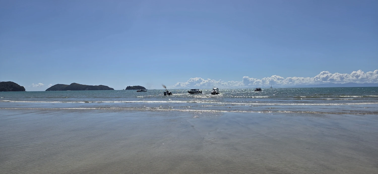
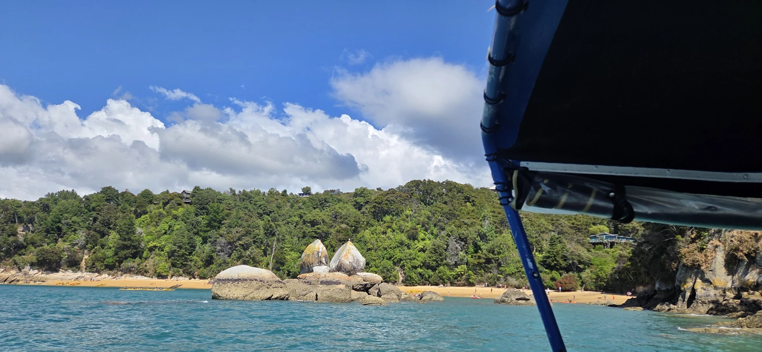
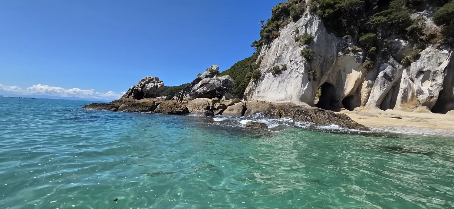
Instead of running, we grabbed a water taxi from Mārahau to Tōtaranui. Riding the boat up the coast gave us a completely different perspective of Abel Tasman than we’d had the day before. From the water, you really see what makes this place famous — long arcs of golden sand, crystal clear water, and dense green forest dropping straight to the ocean. We even spotted a few “water beasts” along the way — seals popping their heads up to see what we were doing.
Arriving at Tōtaranui by boat felt far less exhausting than arriving on foot the day before. Pulling into the bay by water, stepping off the boat onto the sand, and looking back at the coastline we had just traveled felt pretty surreal. It also reinforced a thought I had the entire previous day:
If you want to experience Abel Tasman properly, the water is a big part of it.
One of the biggest logistical challenges with running the Abel Tasman Coast Track in a day is the car shuffle.
If you want to run the full track in a single push, the easiest way to make the Awaroa Inlet timing work is to start from the Golden Bay end. This makes the distance to Awaroa shorter earlier in the day, which gives you a much larger safety margin with the tides.
But if you start at Golden Bay, you finish in Mārahau… and your car is still on the other side of the park.
The closest road-access point to Golden Bay from the track is Tōtaranui, which means the next day you still have to get from Tōtaranui back over the hill to your car.
That requires about a 10km hike on an inland track. If you’re planning this trip, I highly recommend downloading the GPX for that route.
This is an important part of the logistics that a lot of people don’t think about when planning a one-day run of the Abel Tasman.
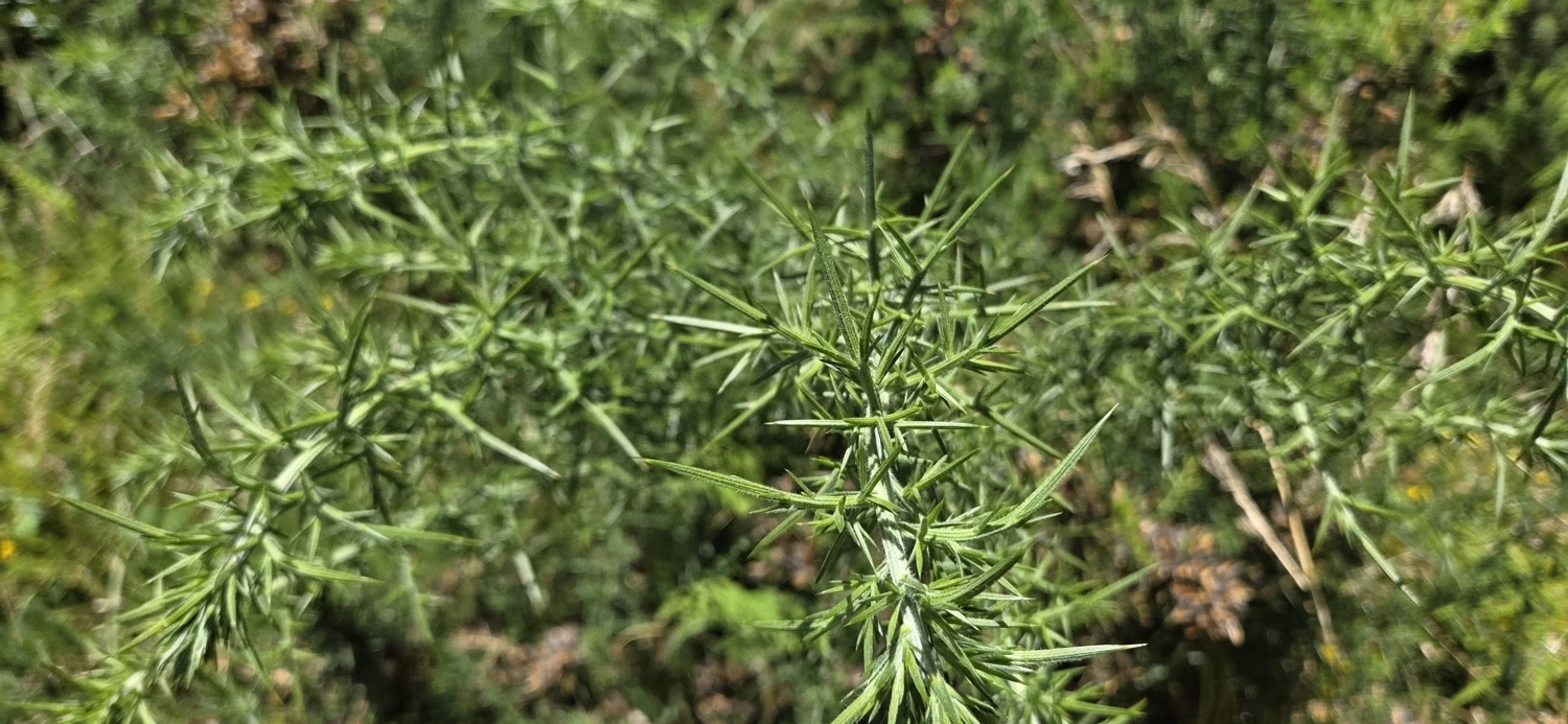
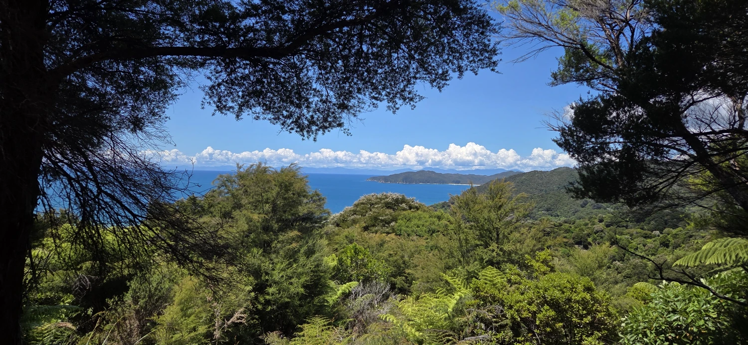
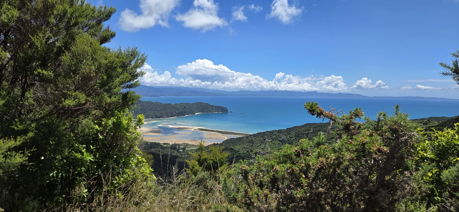
I was honestly a bit concerned about how my legs would feel when we started walking from Tōtaranui back toward the Golden Bay side. After a 50+ km day, you never really know how the body is going to respond the next morning.
But surprisingly, the walk actually felt good.
Instead of feeling like a death march, it felt more like a long, slow stretch. The uphill walking loosened everything back up, and by the time we reached the car, my legs actually felt better than they had when we got off the boat. It ended up being a nice way to close out the trip — a quiet walk through the bush, no time pressure, no tide windows to worry about, and no need to push the pace.
In a strange way, the second day — the boat ride, the quiet walk, and the drive home — ended up being just as memorable as the big run itself.
It ended up being a nice way to close out the trip — a quiet walk through the bush, no time pressure, no tide windows to worry about, and no need to push the pace.
Just walking.