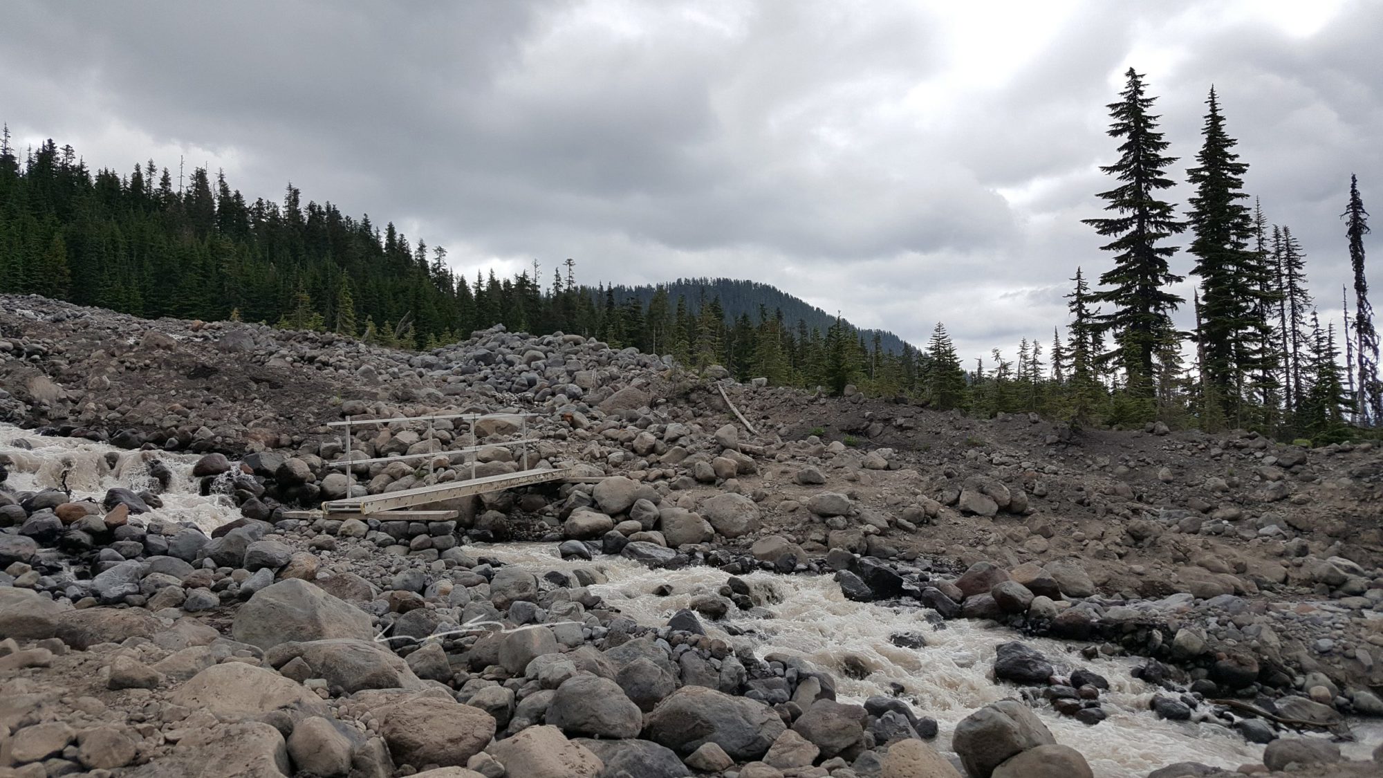
We got started late on this day, around 11 am, but we knew the trail to our camp for the night was not that long. So, we took it slow and enjoyed the first day out. The snow had melted far back by this point in the year, so we didn’t hit any on the trail until we were close to Railroad Grade. All said it only took us about three and a half hours to get to our campsite at the Easton Glacier’s Foot.

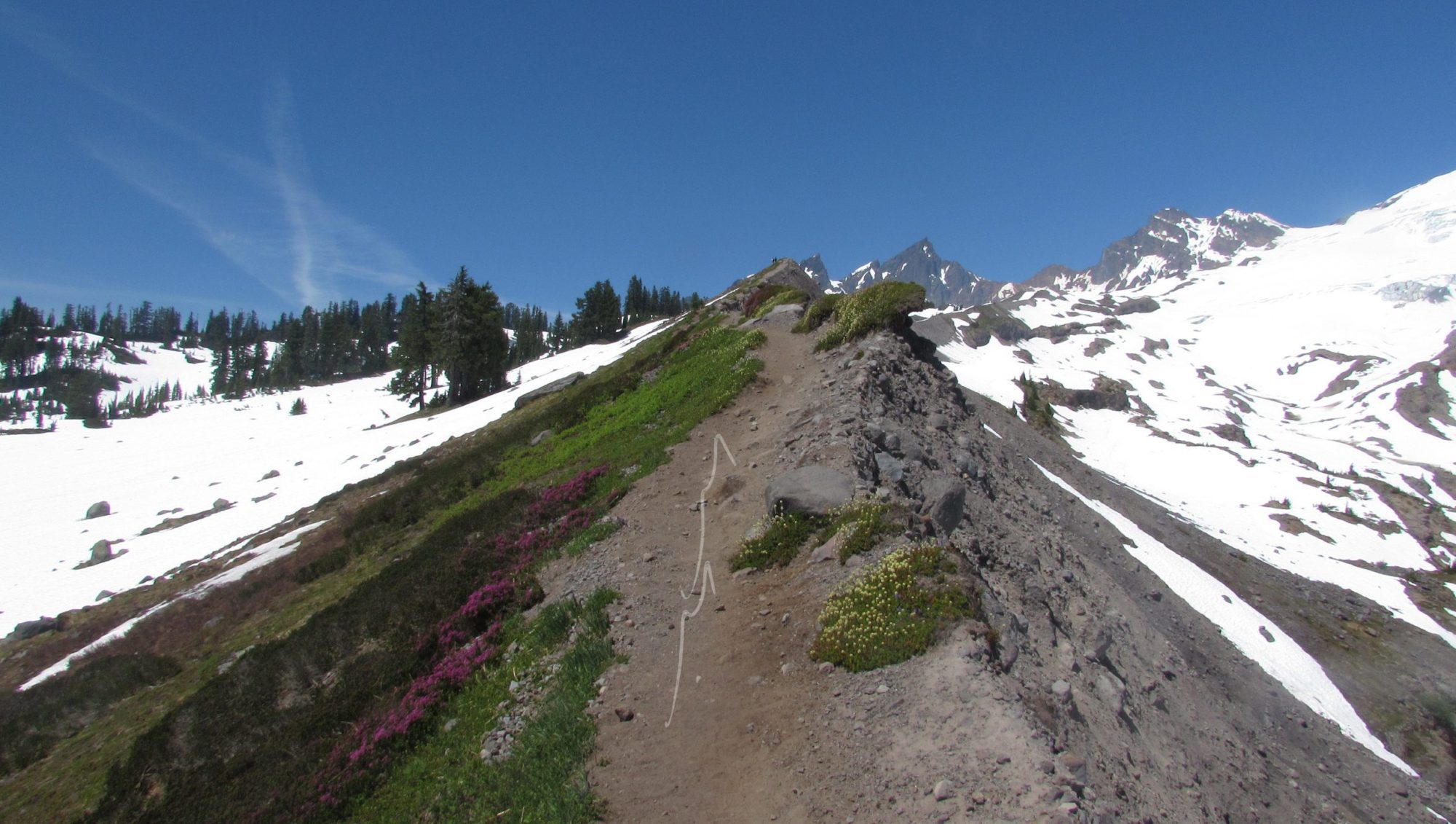
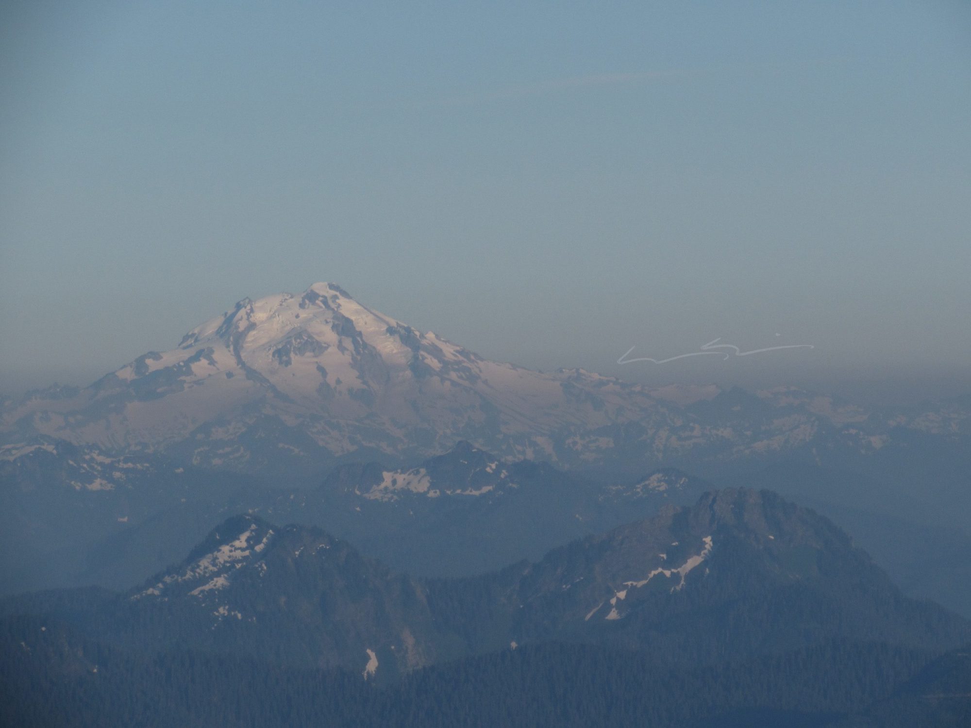
By the time we had gotten up to the ridge where the camps are at, we found a few left open. We settled for a nice flat spot with a good opportunity for anchoring in and set up our camp. The view was incredible. Looking south you can see all the way to Mt Rainier and into eastern Washington to the east.

This was by far one of my most favorite campsites ever. It was the perfect place to enjoy a bag meal while switching between the panoramas and staring at Mt Baker. All I could wonder is what the Easton Glacier held for the following day. There isn’t much to the first day. A simple hike and a romp up one of Baker’s glacial moraines. Have your camera ready and soak it all in. Day two is when the work begins.


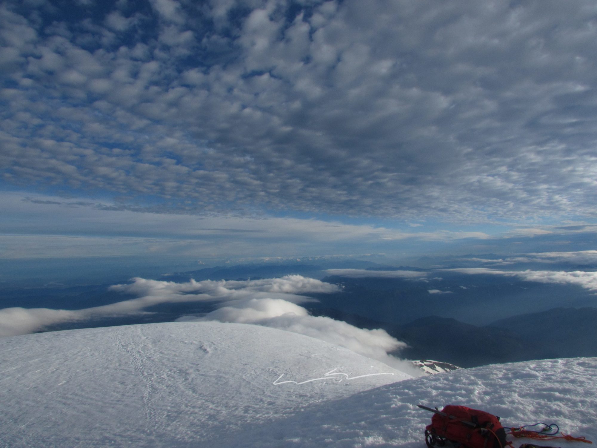
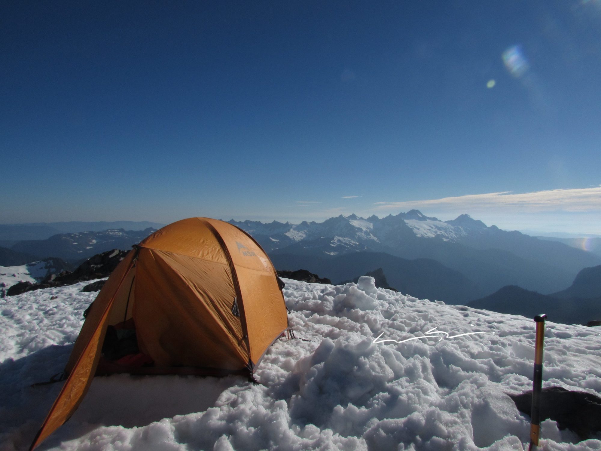
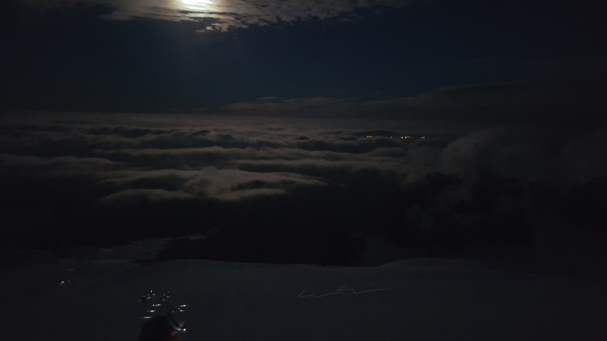
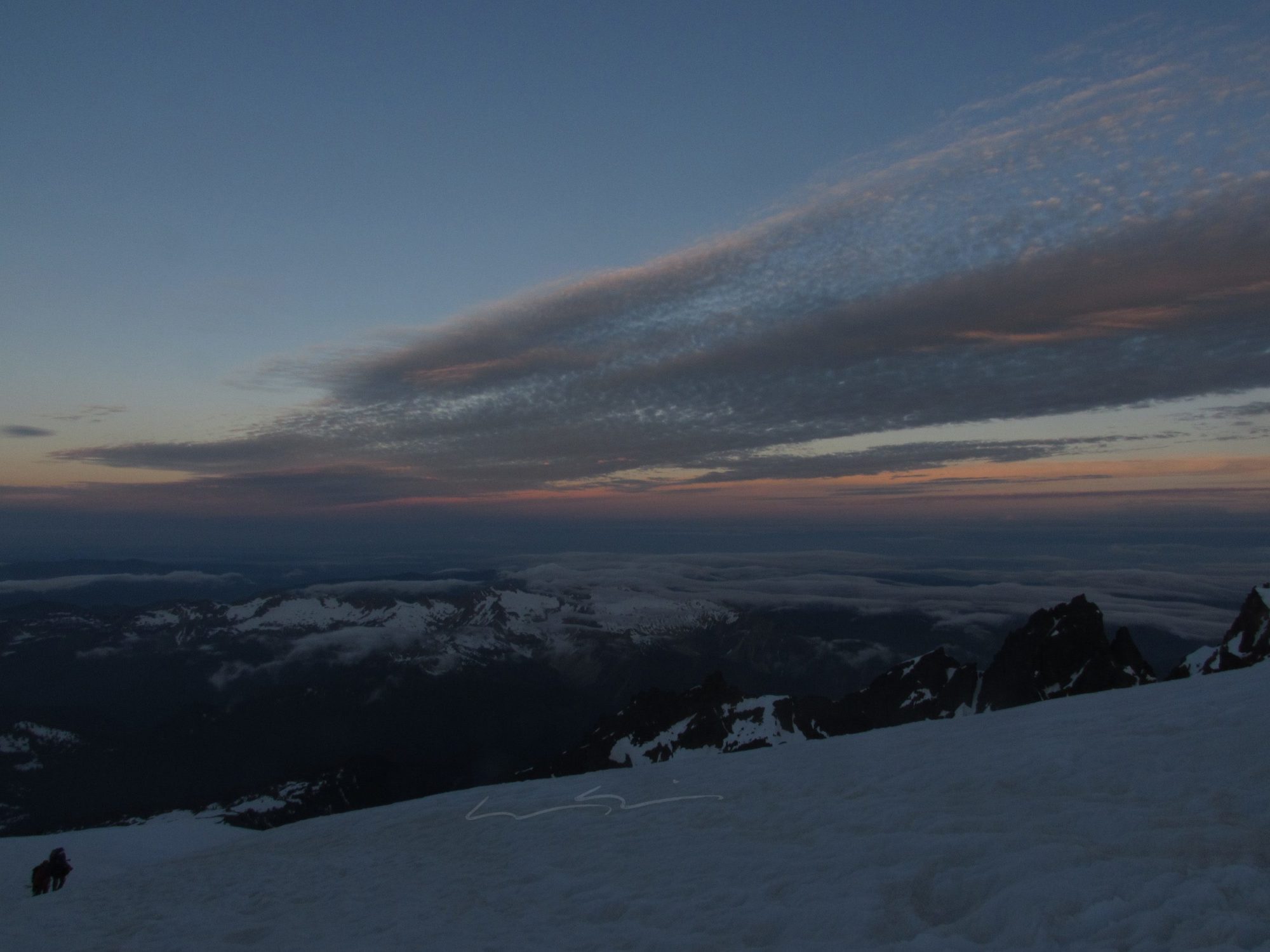
Summit on Mt Baker day started off being woken up by climbers loudly asking each other, “do you think they’re in their tent?”. Strange way to address being so close to someone’s sleeping space but, hey, I needed to get up anyway. The sky was clear when we came out of our tent around 2 am, but the few clouds in the sky made for some excellent photos.
It was cold enough that Brandon and I both agreed an energy bar breakfast and some coffee would suffice. That way we could get going without standing still.
I could not take my eyes off the image of Mt Baker glowing in the moonlight.
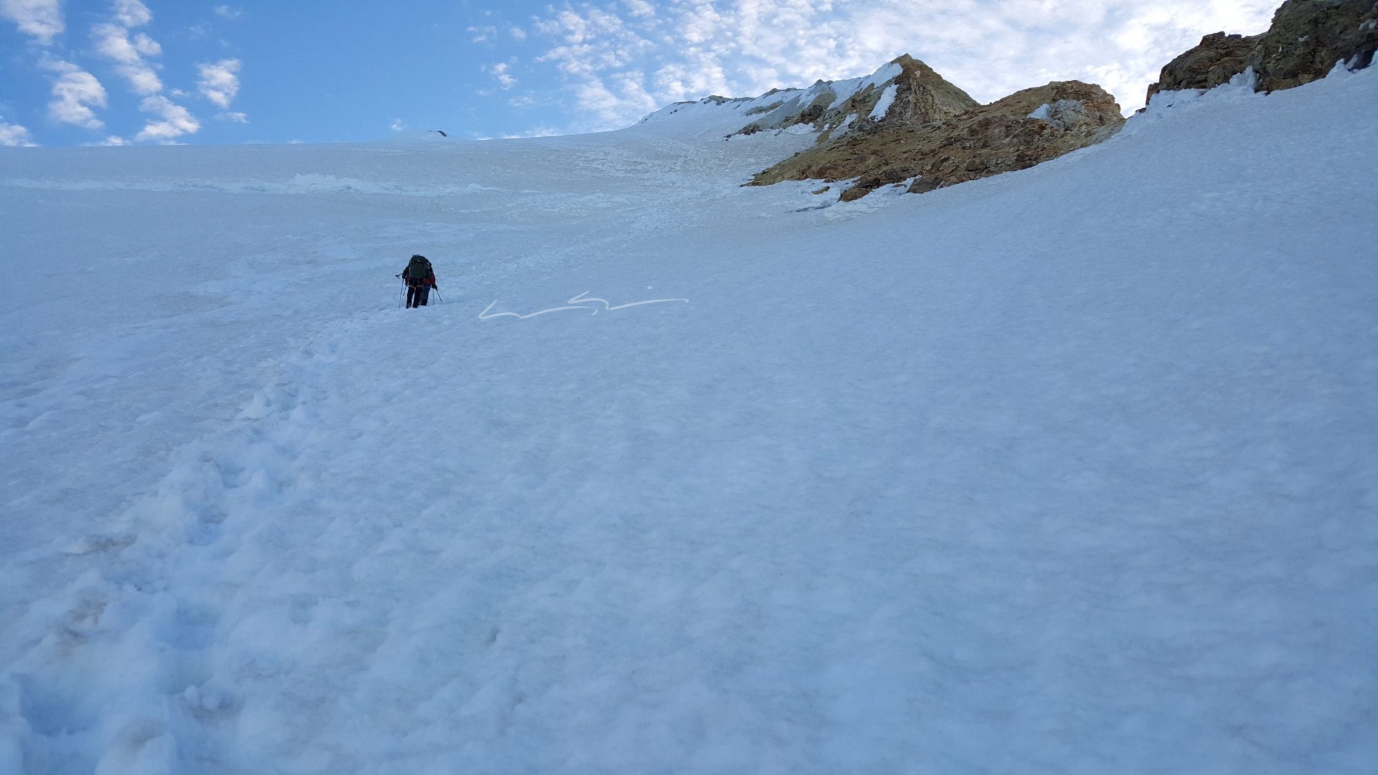
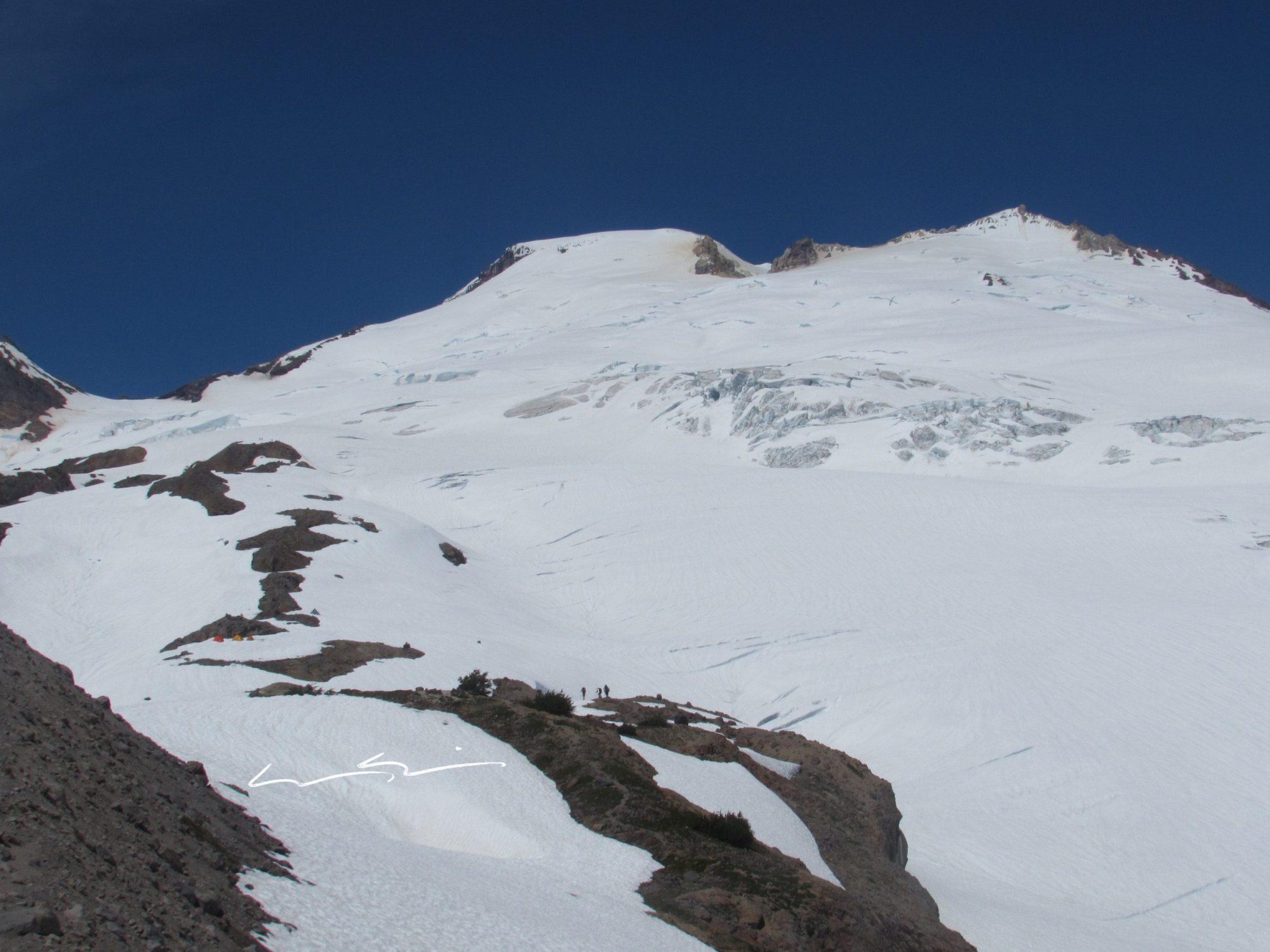
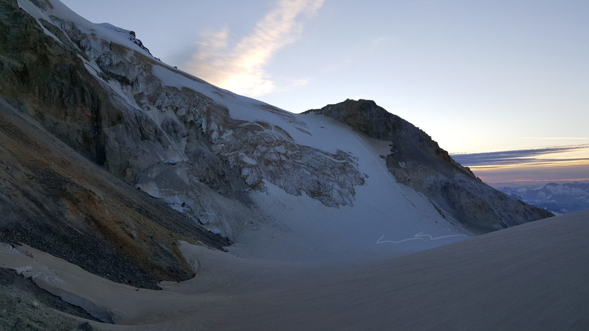
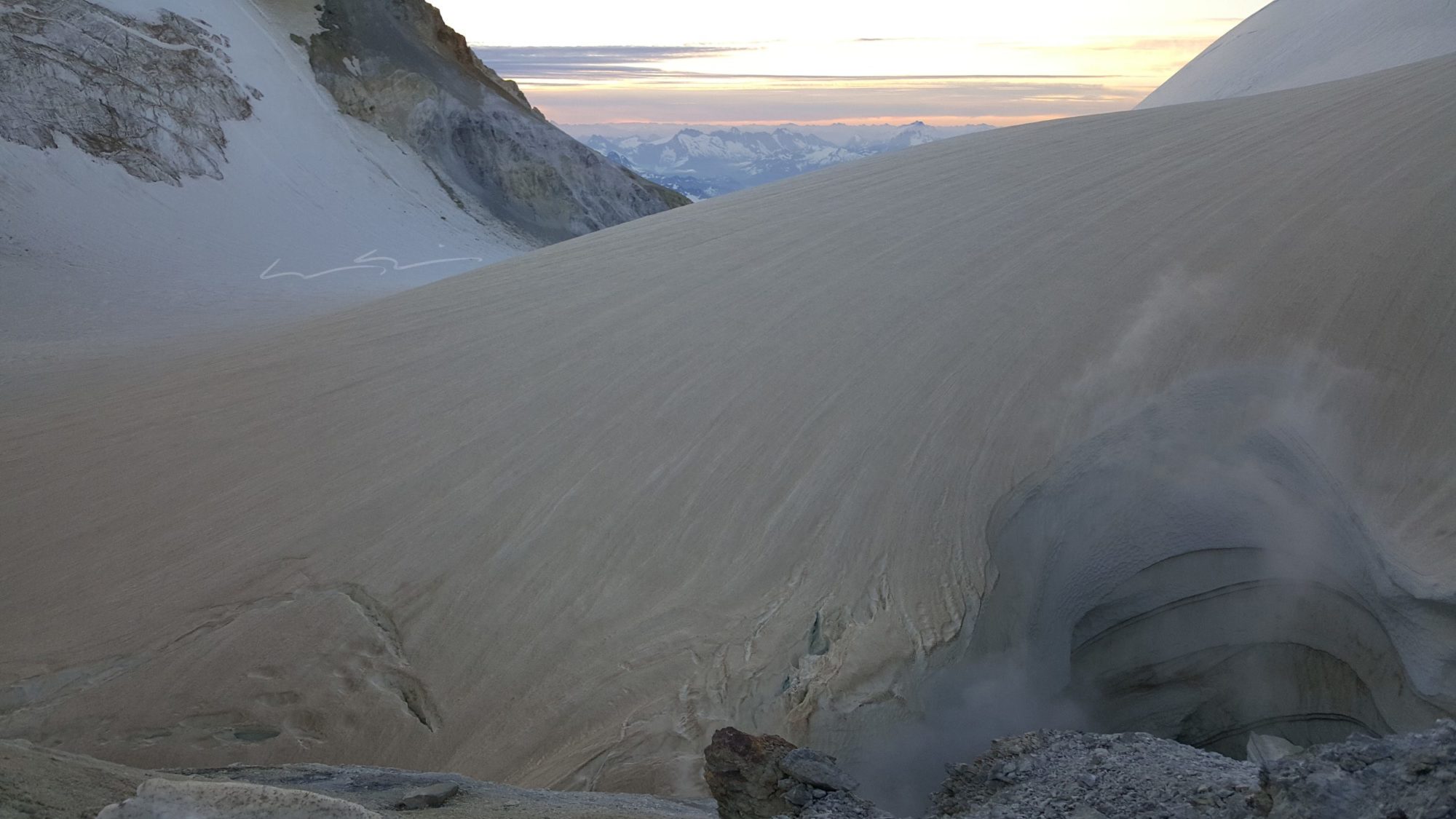
Even though we had a generous snow year, it was clear from the start that the Easton glacier was falling apart. There were small crevasses everywhere with larger ones (up to 8 foot wide) mixed in.
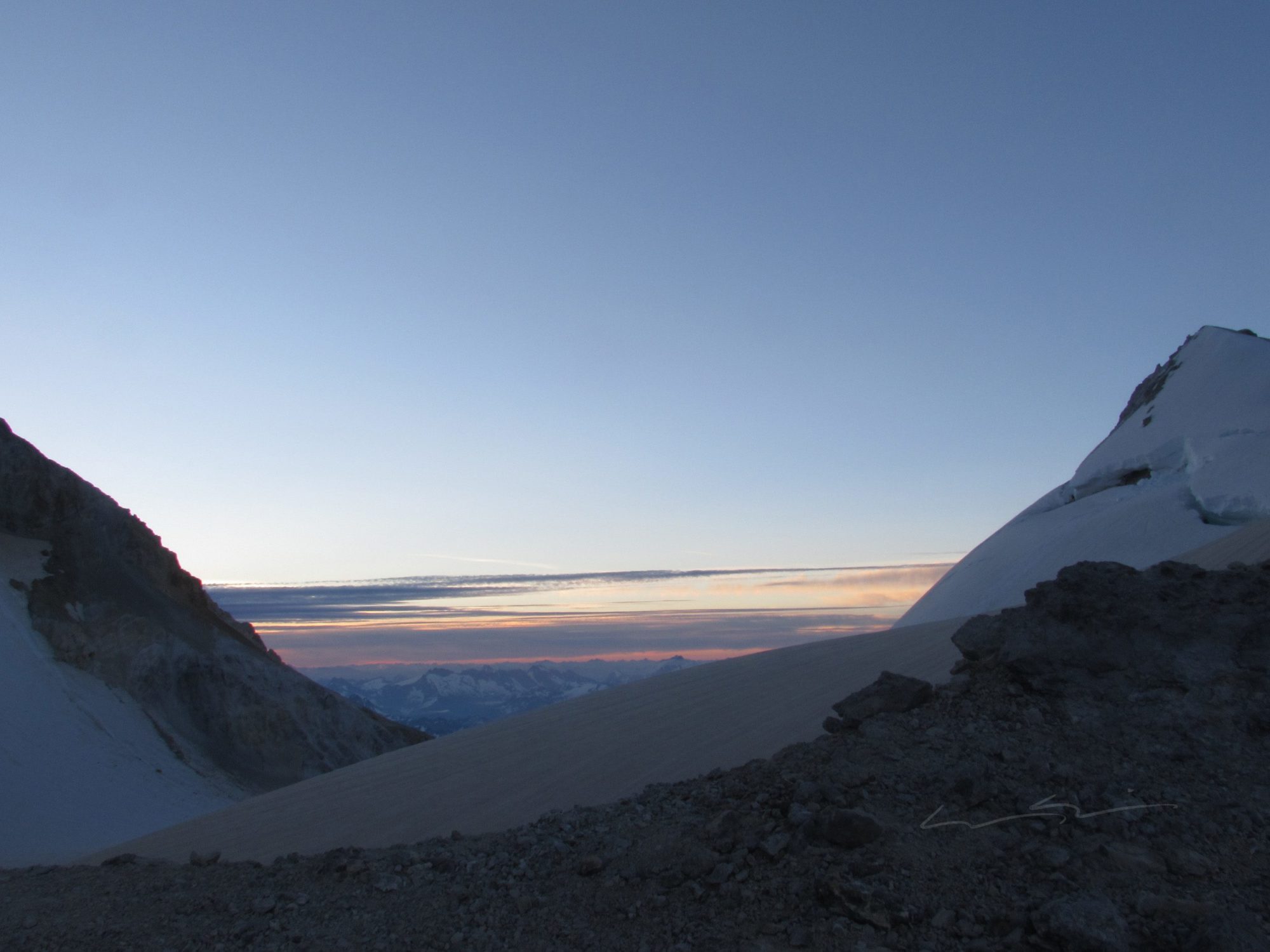
The climb itself from the end of the Railroad Grade (aka glacial moraine) is gradual and gentle at first. This was a nice change of pace from climbing other mountains like Shasta where it was straight up in the morning.

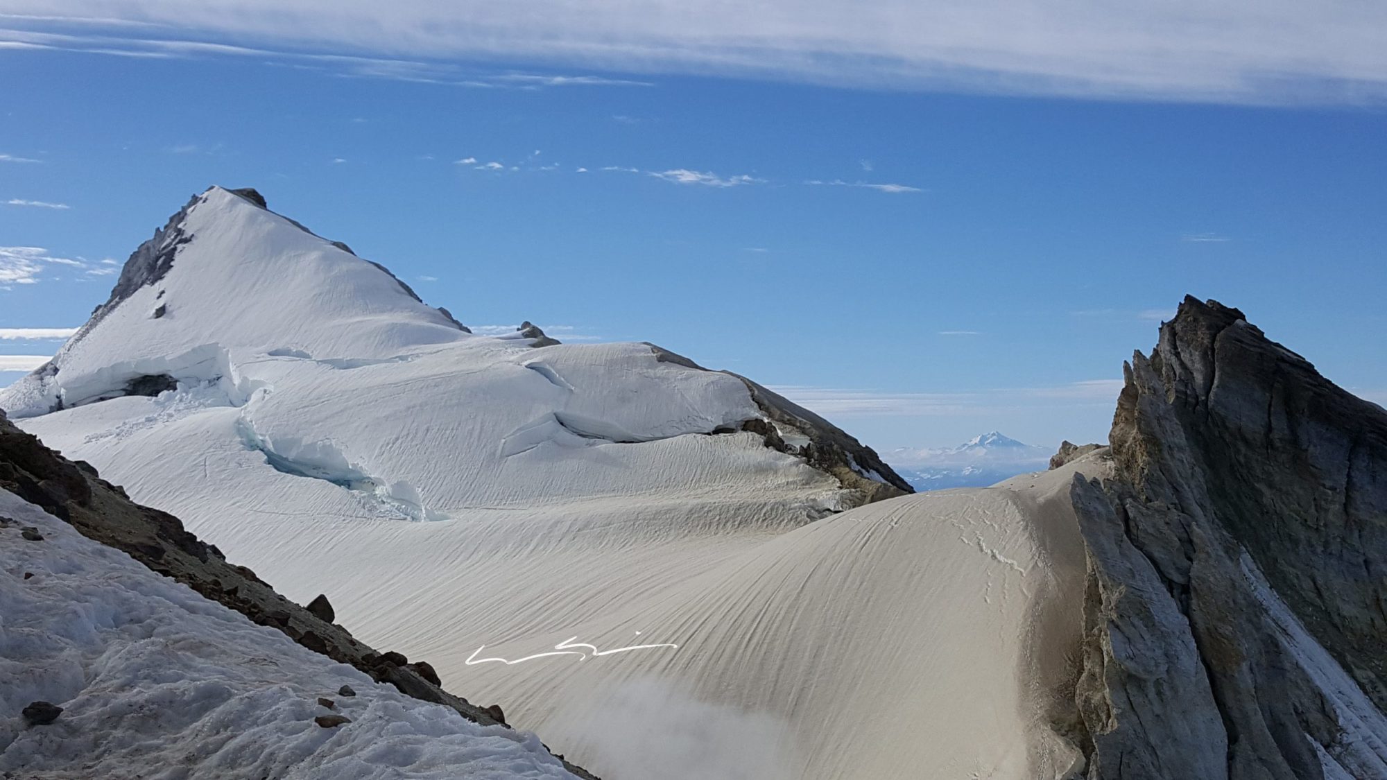
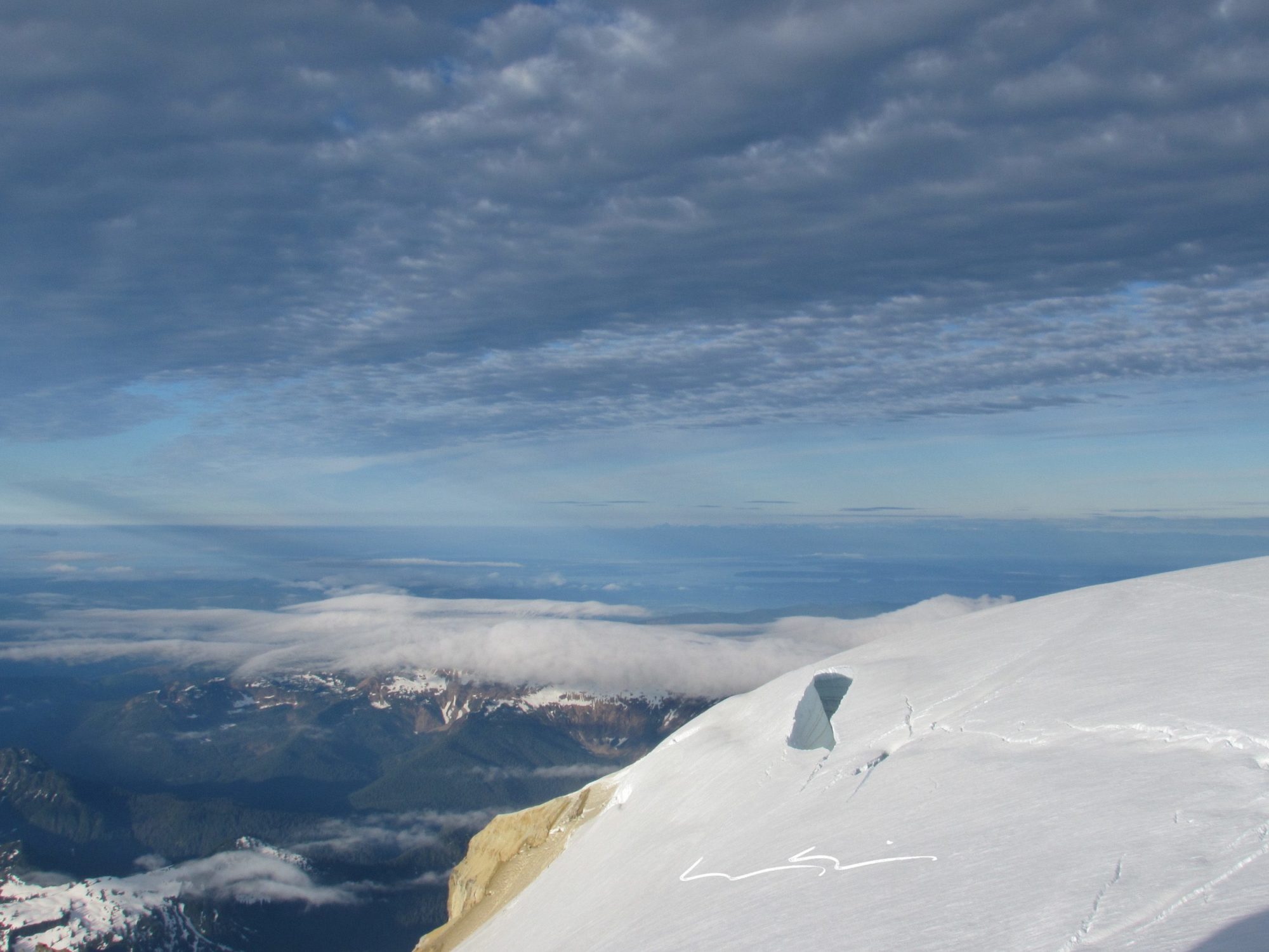
To me the funnest part of the climb is the Roman Head-Wall. While it may only be a few hundred feet high, it is steep and can be nerve-wracking if you’re not used to it. In some spots I would estimate the snow and ice to be 45+ degrees right now, so this time of year it takes some step kicking. Other times of year I have heard and read that it is pretty well solid ice, and can get quite steep depending on snow conditions.