 Nov 27, 2023
As a mountaineer, there has never been a more exotic idea than climbing in another place, far from home. Growing up in Washington state, there are many mountains to enjoy, and one (some have) could spend a very fulfilling life climbing without ever leaving the state's borders.
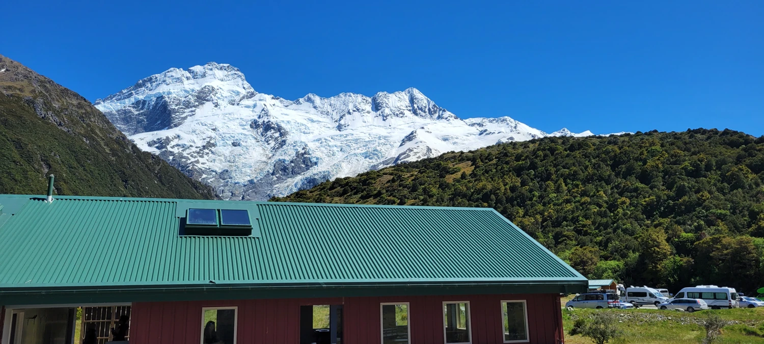
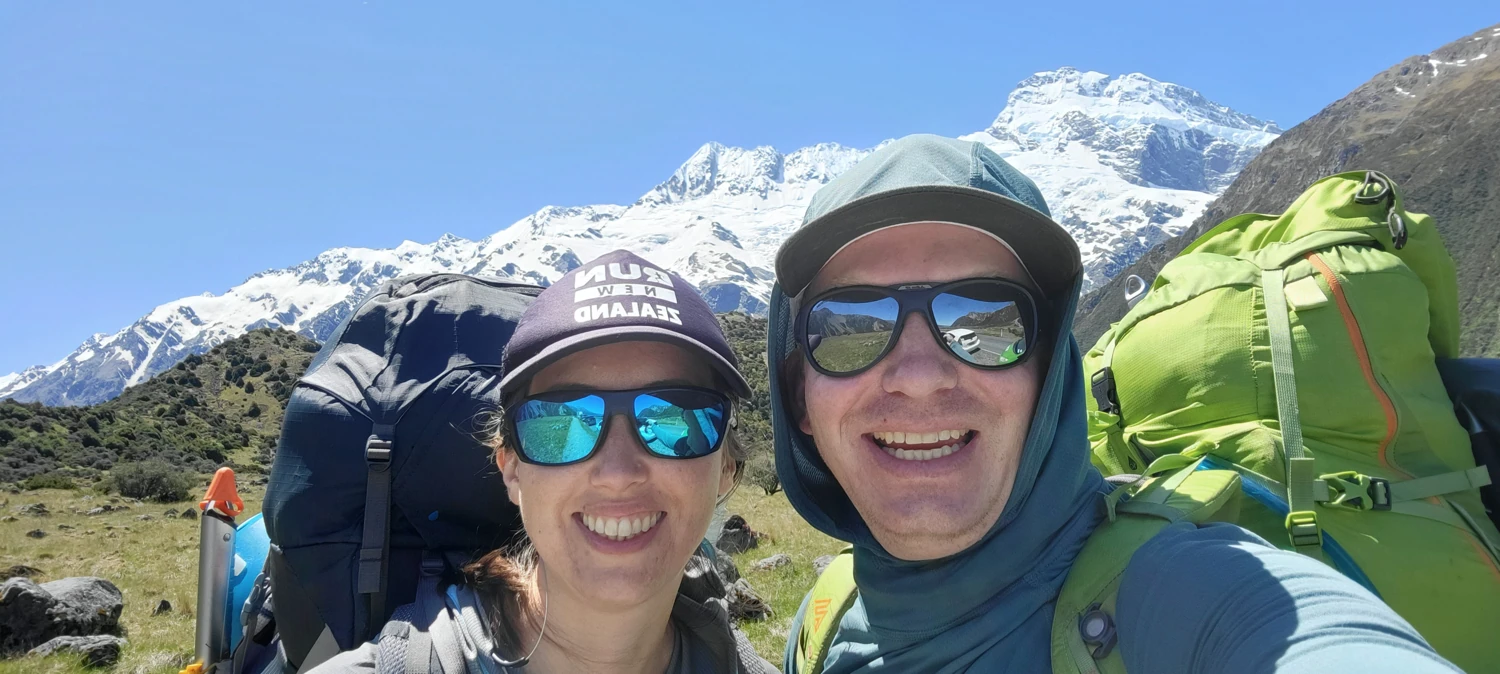
New Zealand's Mount Cook/Aoraki National Park weather is notoriously harsh and changes rapidly. So, when the chance to spend two days on a mountain in such an infamous place leading a climb presented itself, I could not resist. Many of the 3000m peaks in this national park take 3-5 days to climb, so with only 48 hours to make a run, Trail Cutter and I settled on The Footstool as our destination.
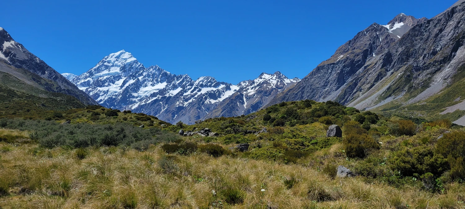
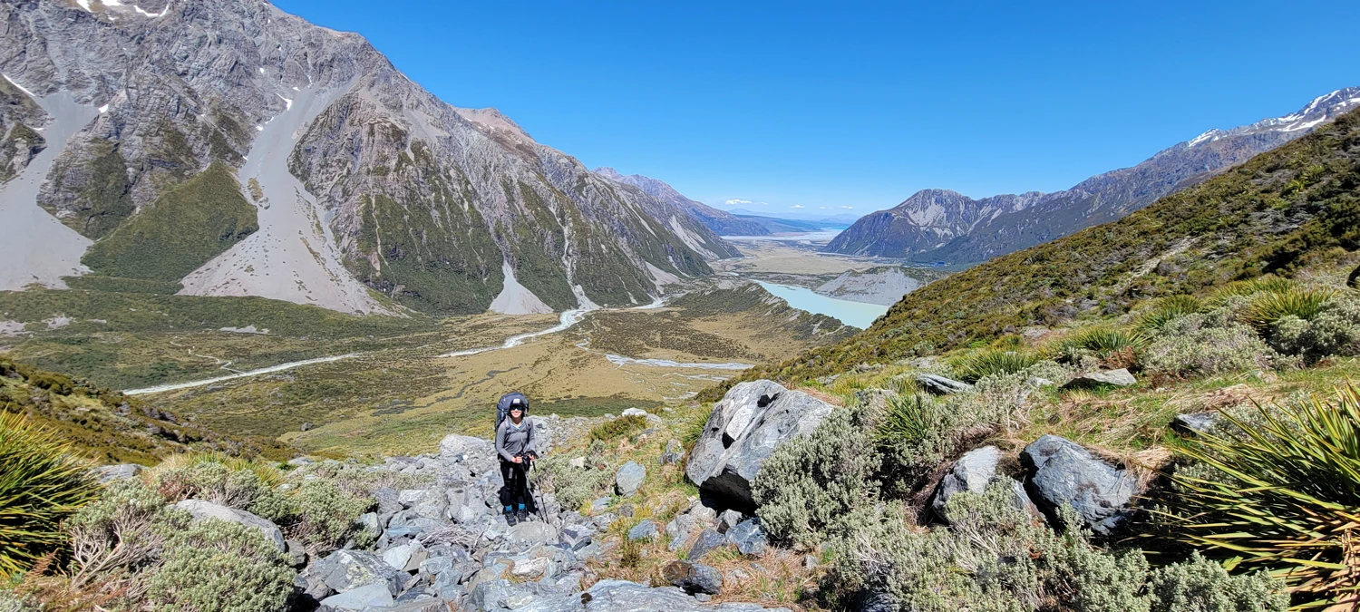
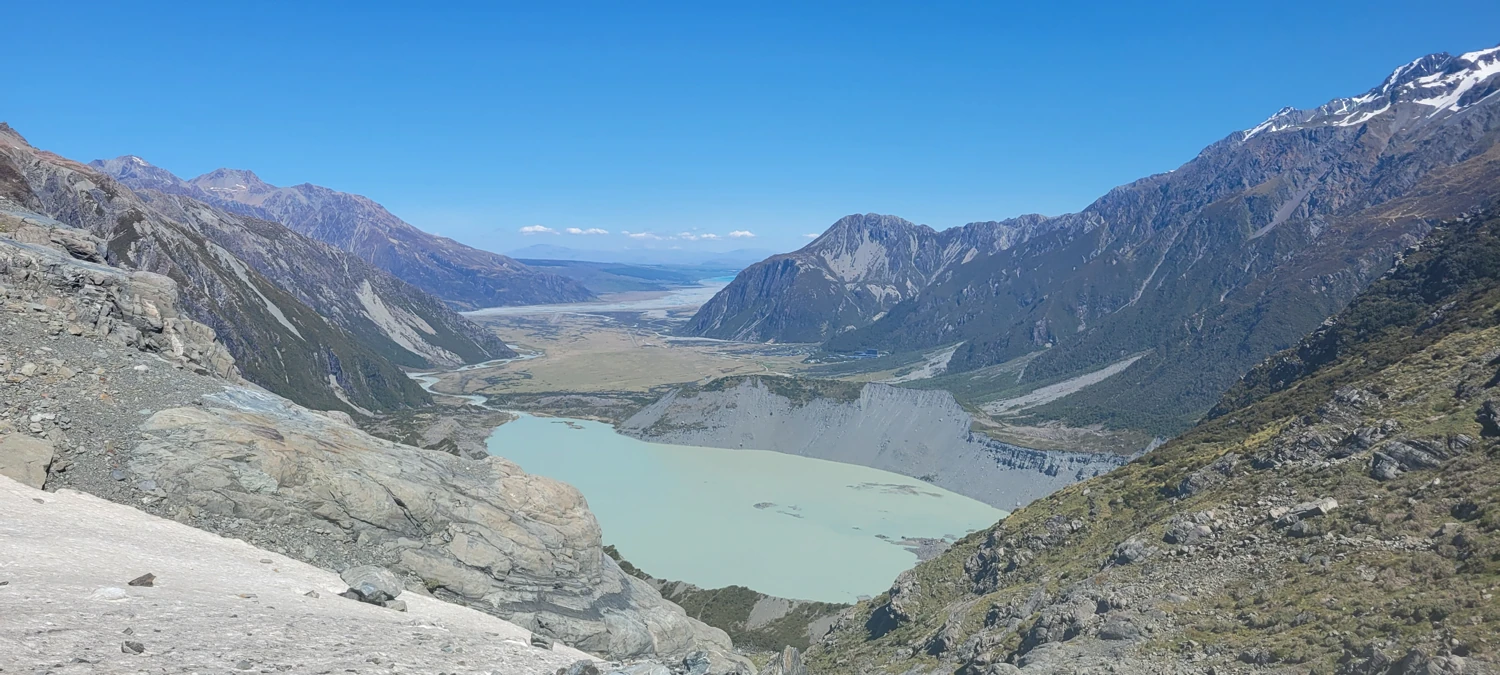
To get to Sefton Bivvy, the basecamp for the climb of The Footstool, we needed to start on the Hooker Valley Track. Unfortunately, this trail is one of the busiest tracks in New Zealand due to its up close and personal view of Aoraki/Mount Cook and the surrounding area. Trying to work around the tourists wearing full mountaineering packs was a challenge. But it only took a short ~45 minutes to reach where we started our cross-country journey. Though I am sure we took the wrong turn to start the ascent, we left the track around -43.69544, 170.09640 and headed for the base of the gulley that starts around -43.69041, 170.08920.
**Note: to get to the correct trail, we should have headed for the gulley that starts at -43.69417, 170.08464 that follows Stocking Creek.**
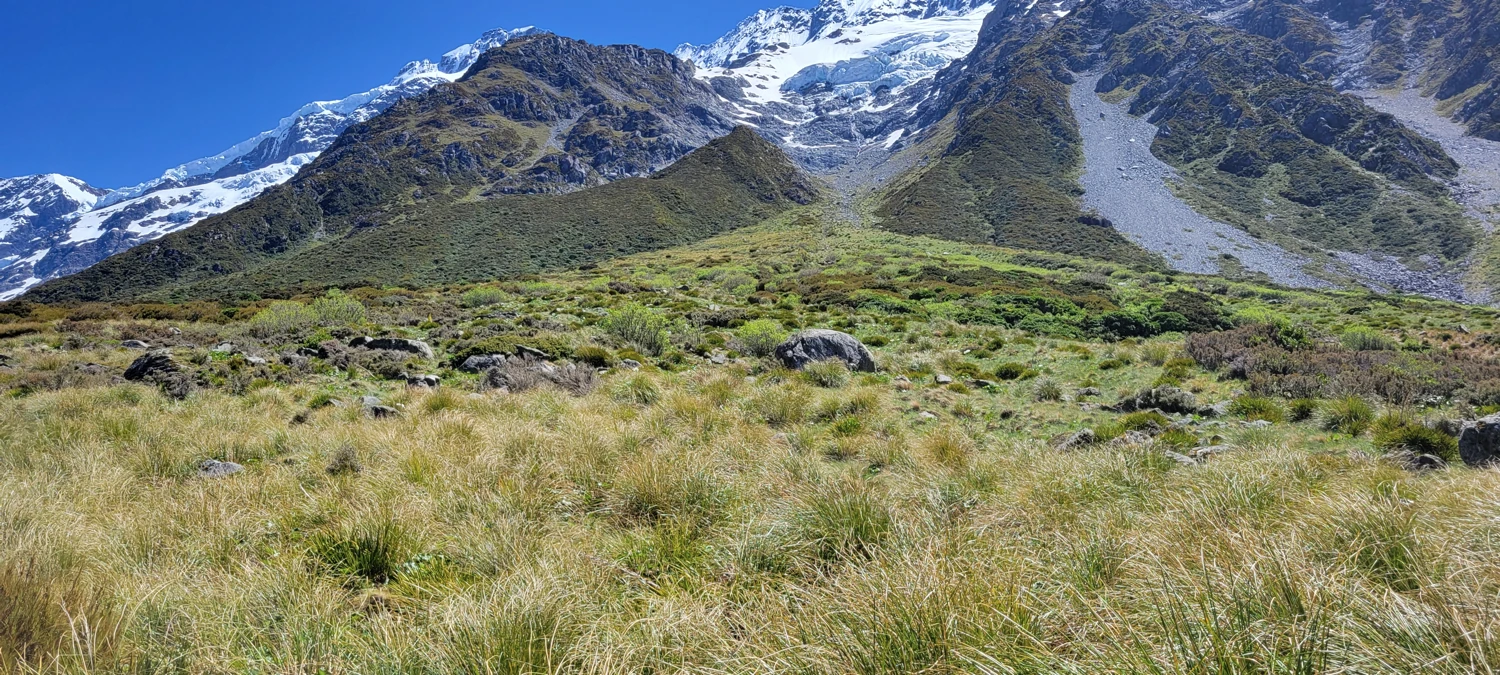
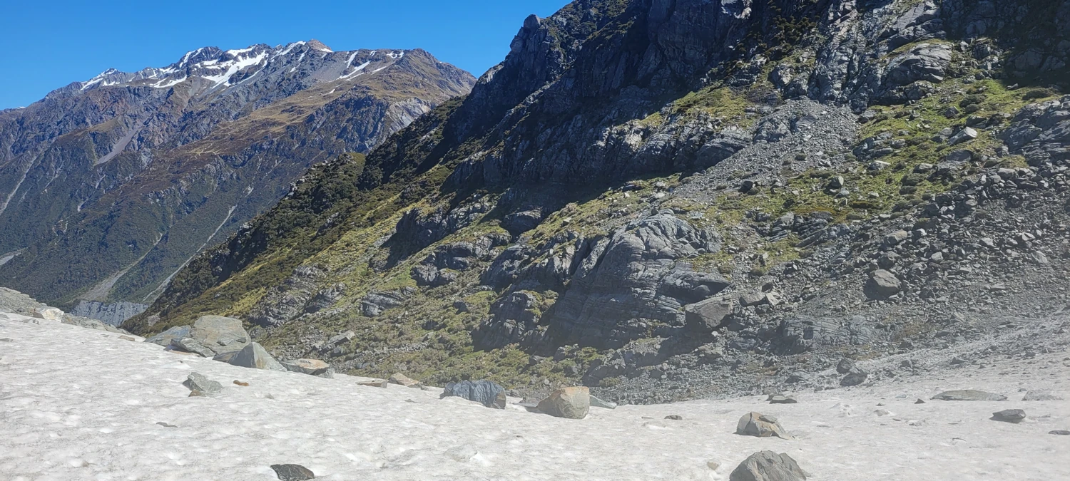
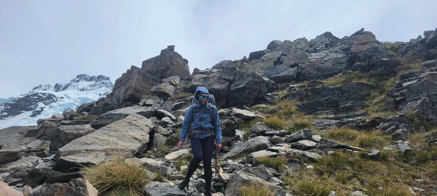
Compared to the thick bush I am used to in Washington's Cascades, the thigh-high bush we had to work through was a breeze. The only downside is that some horrible plant with massive thorns kept digging into my legs. But, compared to blackberry bushes, they were easy to avoid. Working our way up to the top of the gulley we had chosen was steep, but the large rocks made light navigation of working through the dry creek beds.
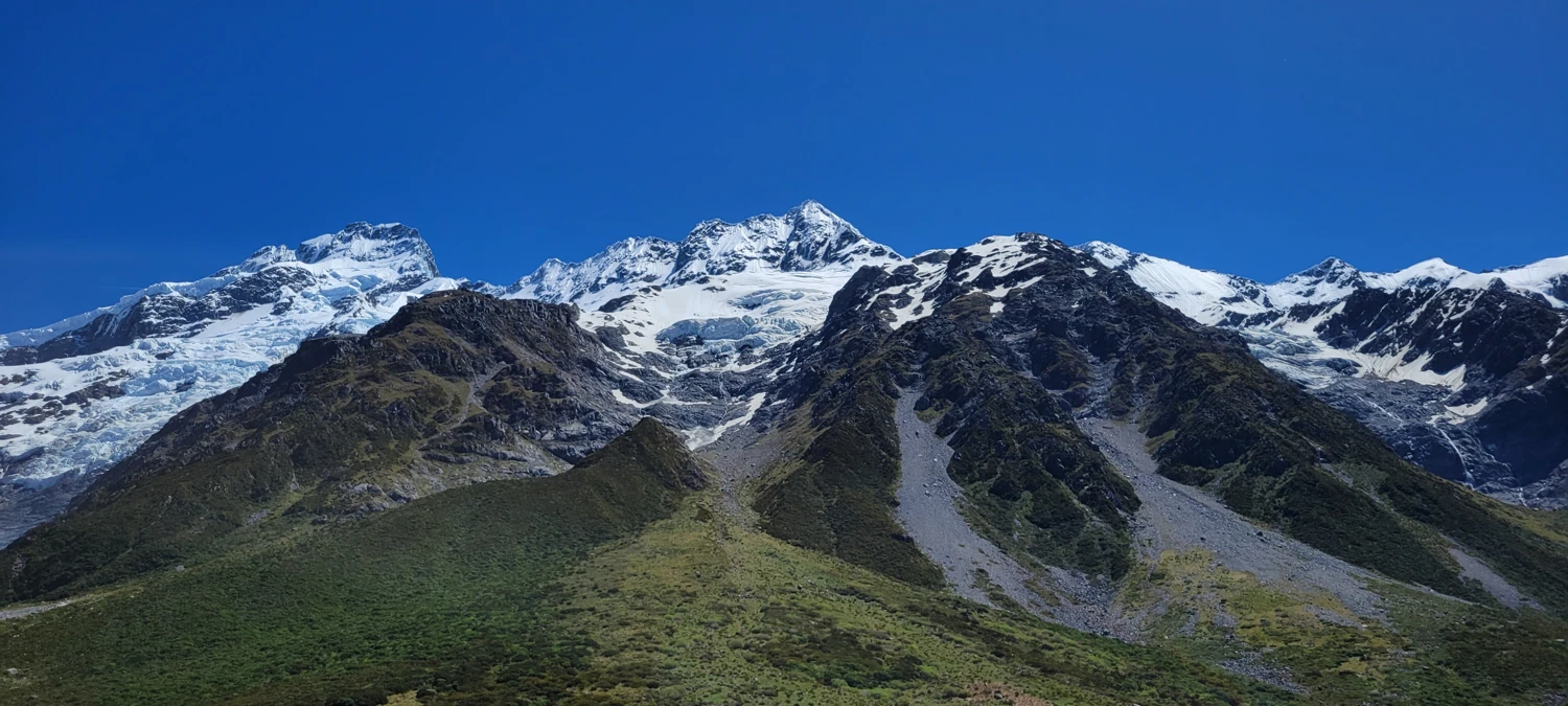
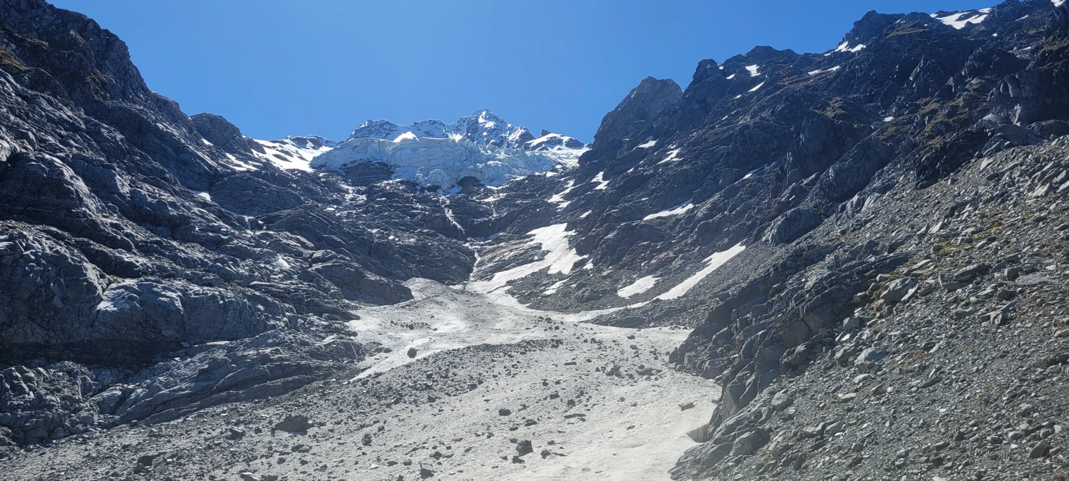
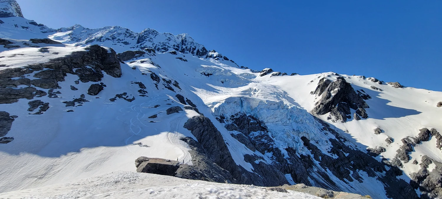
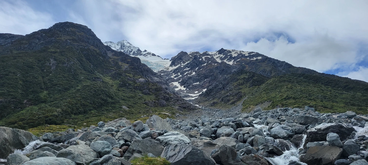
Once we reached the top of the gulley, it became apparent that our chosen track needed to be corrected. The top is hemmed in by cliffs and a massive glacier icefall that is impassable. Luckily, we noticed two other hikers headed up to Sefton Bivvy, so we worked our way over to their location, revealing a well-worn trail up to the Bivvy site.
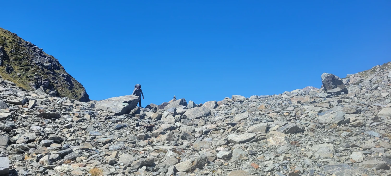
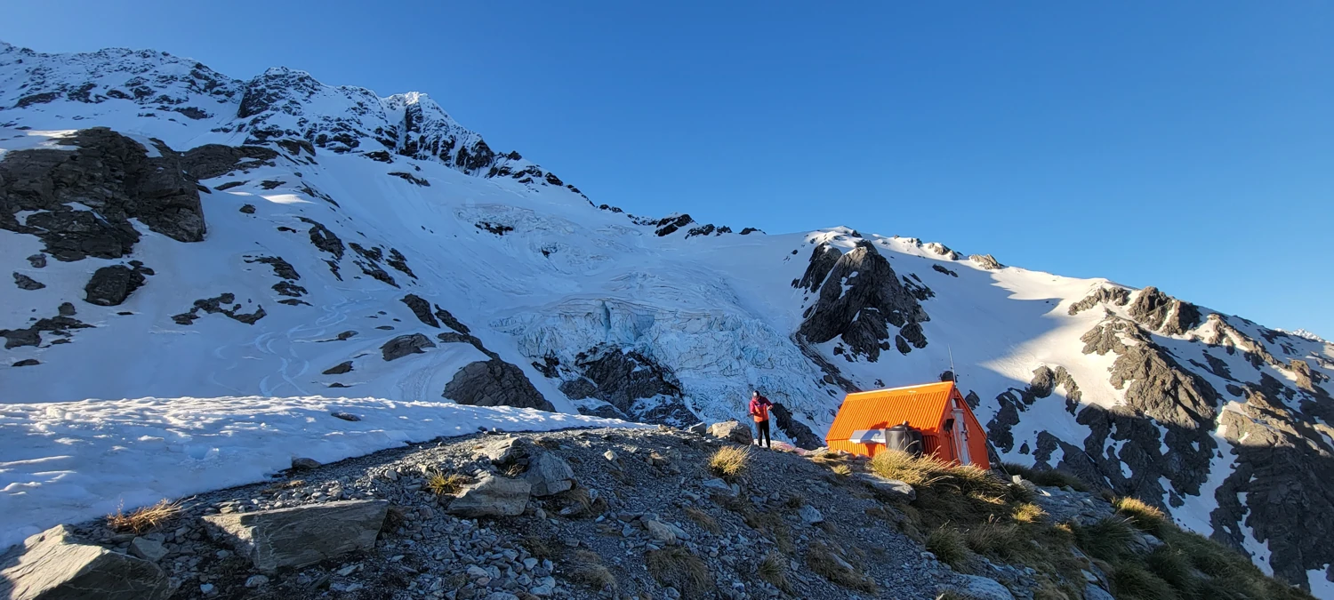
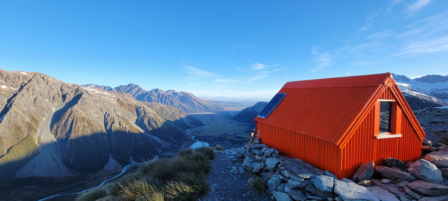
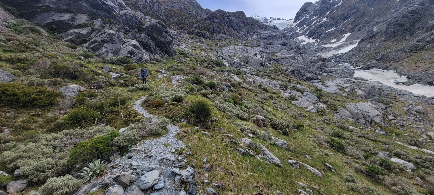
The remainder of the climb up to Sefton Bivvy was steep, but the trail was obvious. Within two hours, we stood at the Bivvy site, staring up at The Footstool and sketching our route for the following day.
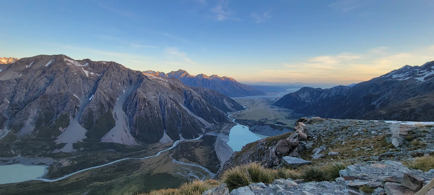
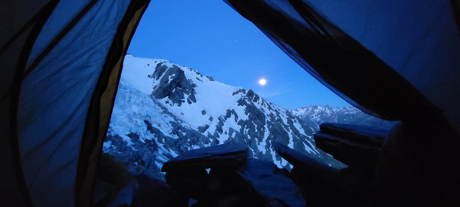
We spent the rest of the afternoon staring at the glacier and the surrounding peaks and watching the moonrise in anticipation of the climb to come.
 Nov 28, 2023
Due to the heat during the day, we chose to make an alpine start at The Footstool at around 3 am. We woke up to calm weather and clear skies. Due to the lack of cities, towns, or humans in general in this area, the night sky was brilliant with stars and took my attention away from the climb at first. I was awe-struck and couldn't take my eyes off the scenery, alternating between looking up and fitting my gear on myself.
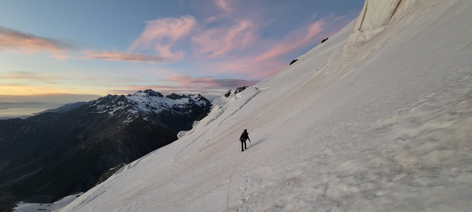
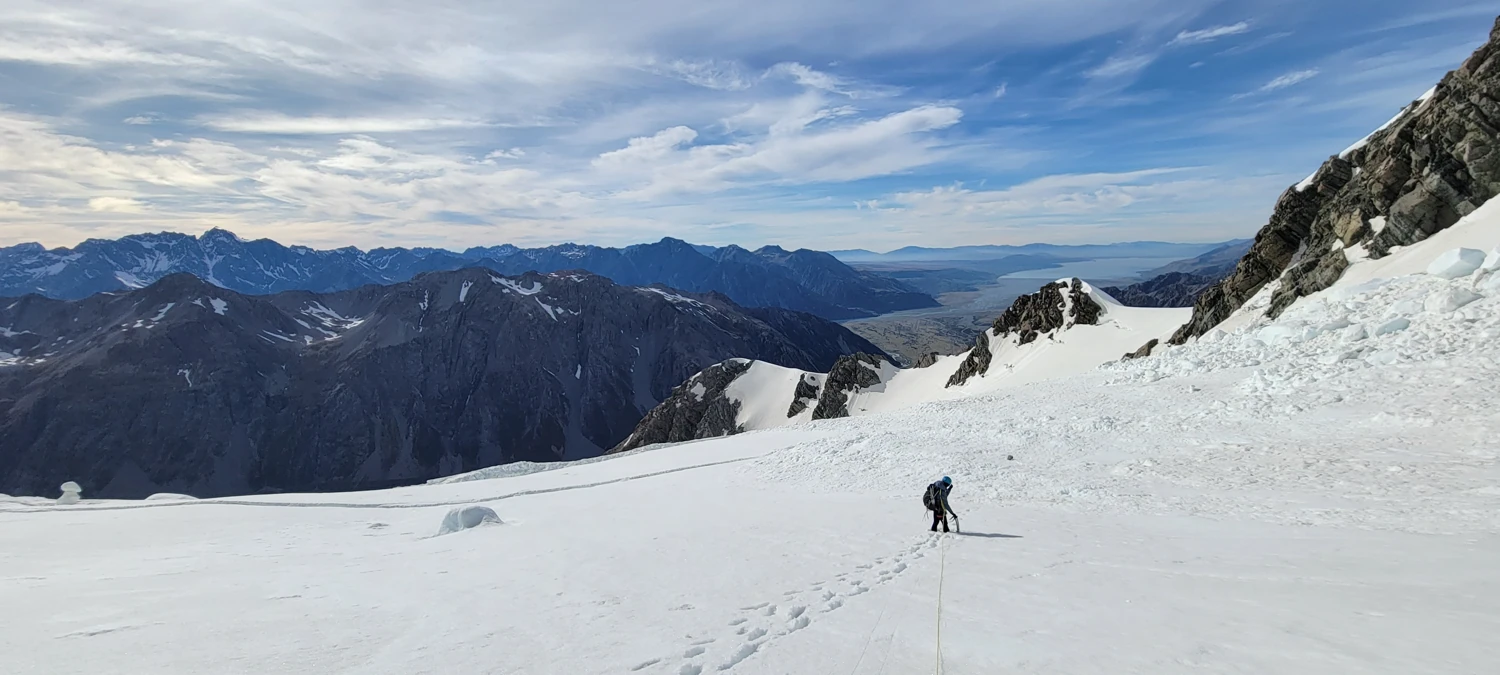
The first hour along the Tewaewae Glacier went smoothly; the ice was hard from the cold night air, our crampons had a good bite, and we were moving at an excellent pace.
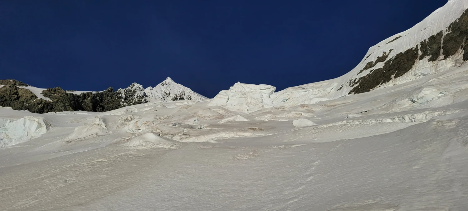
However, the disadvantage of being the only group on the mountain, and one thing I found to be brilliant, was that all the navigation was on us as climbers. I am so used to footsteps to the top of the big mountains I ascended that it was weird walking around on a glacier with no markings of other humans. As we approached the first section, where we had to make a navigation choice, it appeared that a section to our right would be a good choice for an ascent. But we quickly found out there was a massive crevasse we could not cross or traverse around.
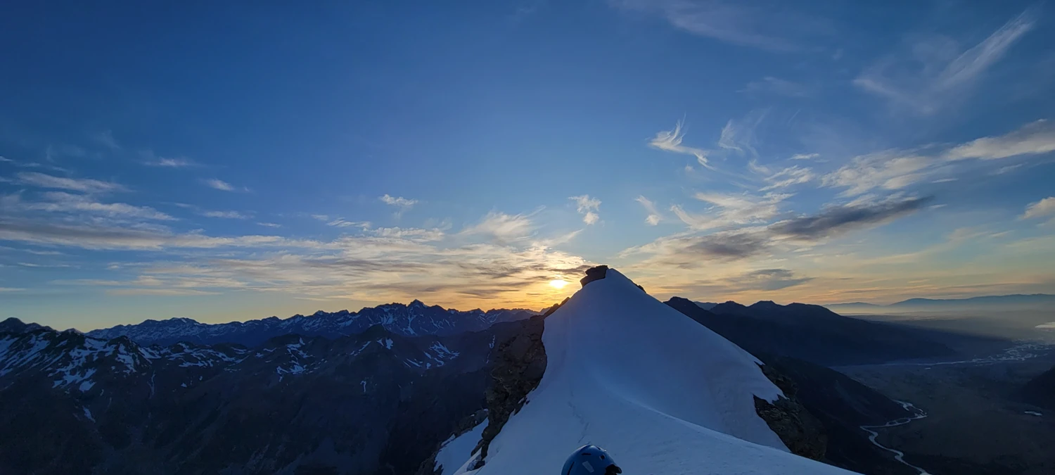
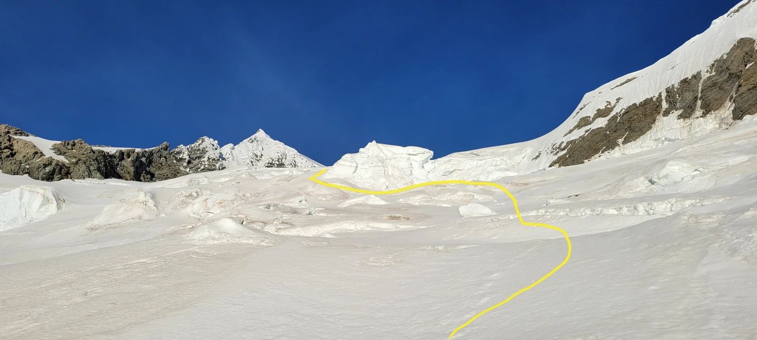
So, instead, we chose to traverse back toward our bivvy site and under a couple of large ice formations to make a snaking traverse toward the ridge that divides the Tewaewae Glacier from the Eugenie Glacier. When we arrived at the ridge that divides the two, the sun was finally starting to rise, which I hoped would help ease the navigation of the Eugenie Glacier.
We did our best and made it to just below that ridge. But, at the top between the ridge and the Eugenie Glacier was a massive Bergschrund that we could not locate a way around. By the time we reached this spot, the day was heating up, ice was starting to fall off the glacier around us, and it was apparent it was time to turn around.
Despite having to turn back and not summiting, the experience I had attempting The Footstool was one of my most memorable climbs. Handling the navigation, spending an entire day as the only group on a massive peak, and making it back down safely and ready for another peak is incredibly gratifying.
After getting back to camp, the wind was kicking up so severely that we were being pushed around, so we packed up and headed for the car. Once back down to the Hooker Valley Track, we were making quick work of the final stretch of trail, ready for some food and a warm bed for the night.
About halfway back to the car, as we were passing a small group of people, one lady shouted out, "Were you two up on The Footstool?" after noticing our huge packs and pile of gear. We turned around to chat with her for a few minutes, and she told us that she had climbed it years before. Apparently, from the Hooker hut, one the most popular in New Zealand, there was a group of people watching our headlamps as we attempted to work our way to the top. I have seen so many mountaineering documentaries over the years where people watch headlamps from below that it felt strange to realize we were on the other side of the equation—slowly ascending a mountain while onlookers watched in curiosity at our progress.
