Baring Mountain (6125')
8/2/2014
Weather Forecast
Weather Forecast
Tue, 05.12
Wed, 06.12
Thu, 07.12
.Heavy rain along with rising snow levels Monday into Tuesday will lead to rapidly rising rivers across the area. It is likely that many rivers will reach flood stage late Monday night or Tuesday. ...FLOOD WATCH REMAINS IN EFFECT THROUGH LATE WEDNESDAY NIGHT... * WHAT...Flooding caused by excessive rainfall continues to be possible. * WHERE...Portions of northwest and west central Washington, including the following counties, in northwest Washington, Clallam, Grays Harbor, Island, Jefferson, Kitsap, Mason, San Juan, Skagit and Whatcom. In west central Washington, King, Lewis, Pierce, Snohomish and Thurston. * WHEN...Through late Wednesday night. * IMPACTS...Excessive runoff may result in flooding of rivers, creeks, streams, and other low-lying and flood-prone locations. Flooding may occur in poor drainage and urban areas. Low-water crossings may be flooded. Extensive street flooding and flooding of creeks and rivers are possible. * ADDITIONAL DETAILS... - Excessive rainfall Monday and Tuesday with 7 to 10 inches possible over the Olympics, 5 to 9 inches over the Cascades, 3 to 5 inches along the coast and 1.5 to 3 inches over the interior lowlands. Snow levels will rise to around 9000 feet Monday night before dropping Tuesday. - http://www.weather.gov/safety/flood
(NWS Seattle (Northwest Washington))
...HEAVY RAINFALL TODAY THROUGH TUESDAY NIGHT WILL LEAD TO AN INCREASED THREAT OF LANDSLIDES IN WESTERN WASHINGTON... Rainfall of 1 to 5 inches over the past 3 days has increased soil moisture to moderate levels across western Washington. Heavy rainfall of 2 1/2 to 5 inches is expected today through Tuesday night. This amount of rain will put extra pressure on soil instability, leading to an increased threat of landslides and debris flows. For more information about current conditions, visit www.weather.gov/seattle, select Hydrology, and then scroll down for the links to the landslide information pages. For more information on landslides, visit the website for the Washington State Department of Natural Resources landslide geologic hazards at: http://bit.ly/2mtA3wn
(NWS Seattle (Northwest Washington))
Gaia Map
Approximate Route Map
The activities depicted on this site are inherently dangerous and can result in serious injury or death. Any action that you take as a result of information obtained from this site or any information provided through Hike2Hike is at your own risk.
The Scramble up Mount Baring begins with an easy road walk from the Barclay Lake trailhead. Go around the toilet facilities and follow an overgrown road for about 1/3 of a mile. At the first creek crossing look to your right for a cairn that marks the beginning of the climber’s trail. This “trail” is not so much a trail but more of a general guideline. At some points there are multiple ways to go and you’ll just have to pick what’s best for you. If you cross the creek twice you are going the right way.
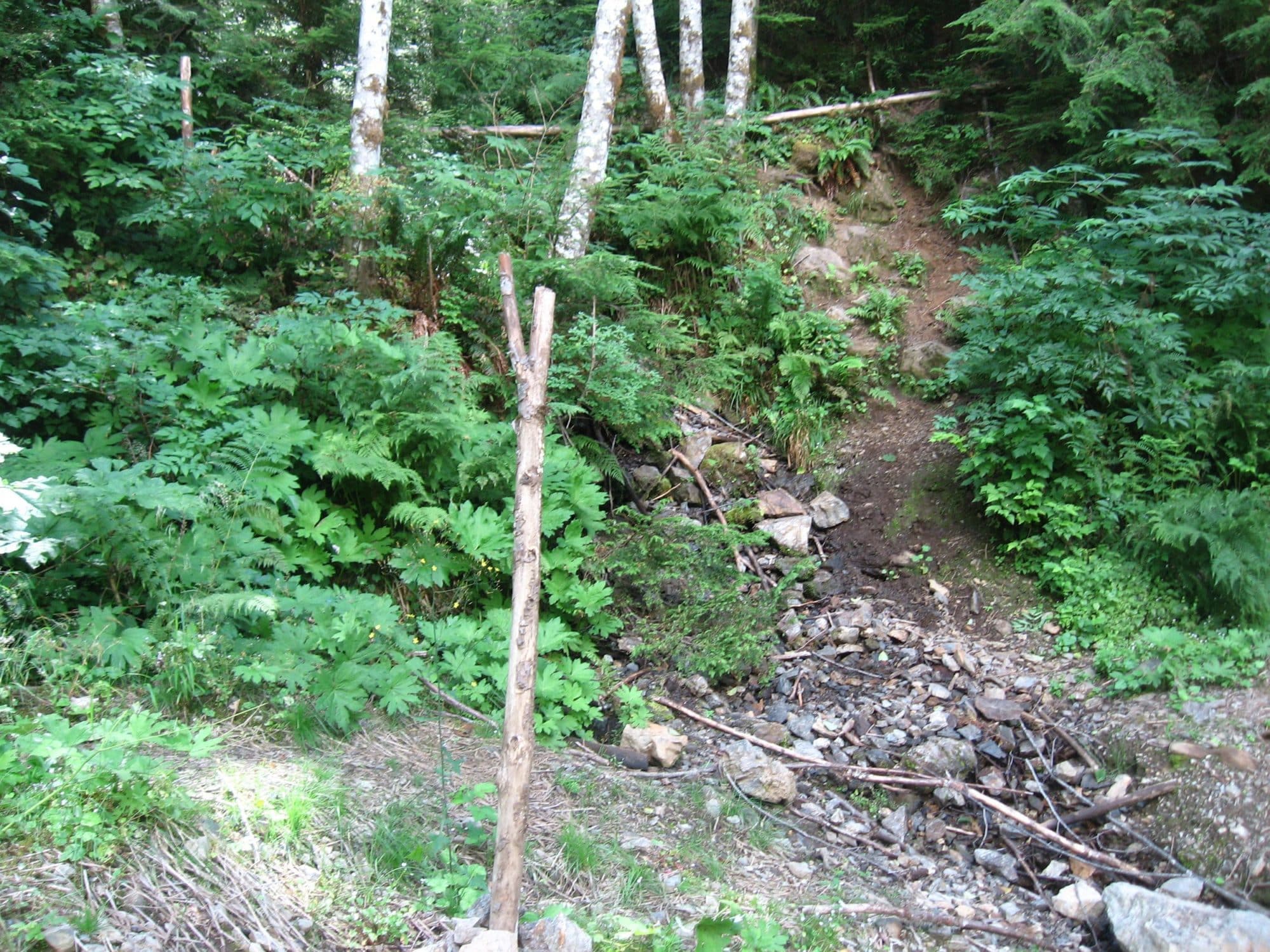
At the time of this writing there is pink tape providing a good marking for the scramble up Mount Baring. However, other times I have come up there is none, so don’t count on having a marked trail. Once in the woods, the trail climbs quickly and steeply up the north side of the mountain. It is hard to describe the difficulty of this portion. All that can be said is this is where most people fail.
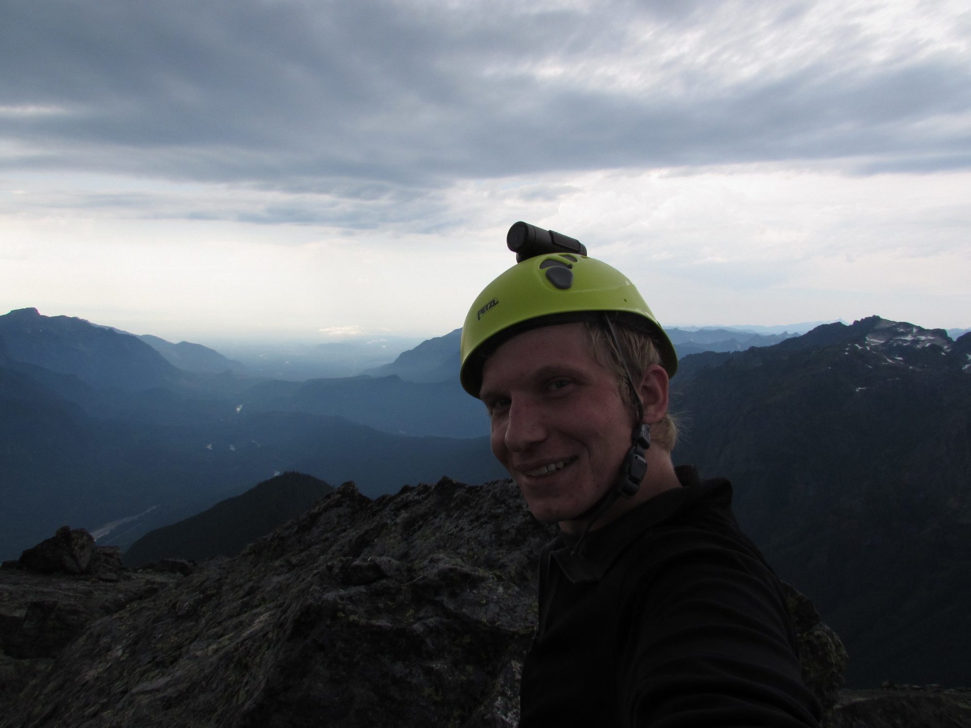
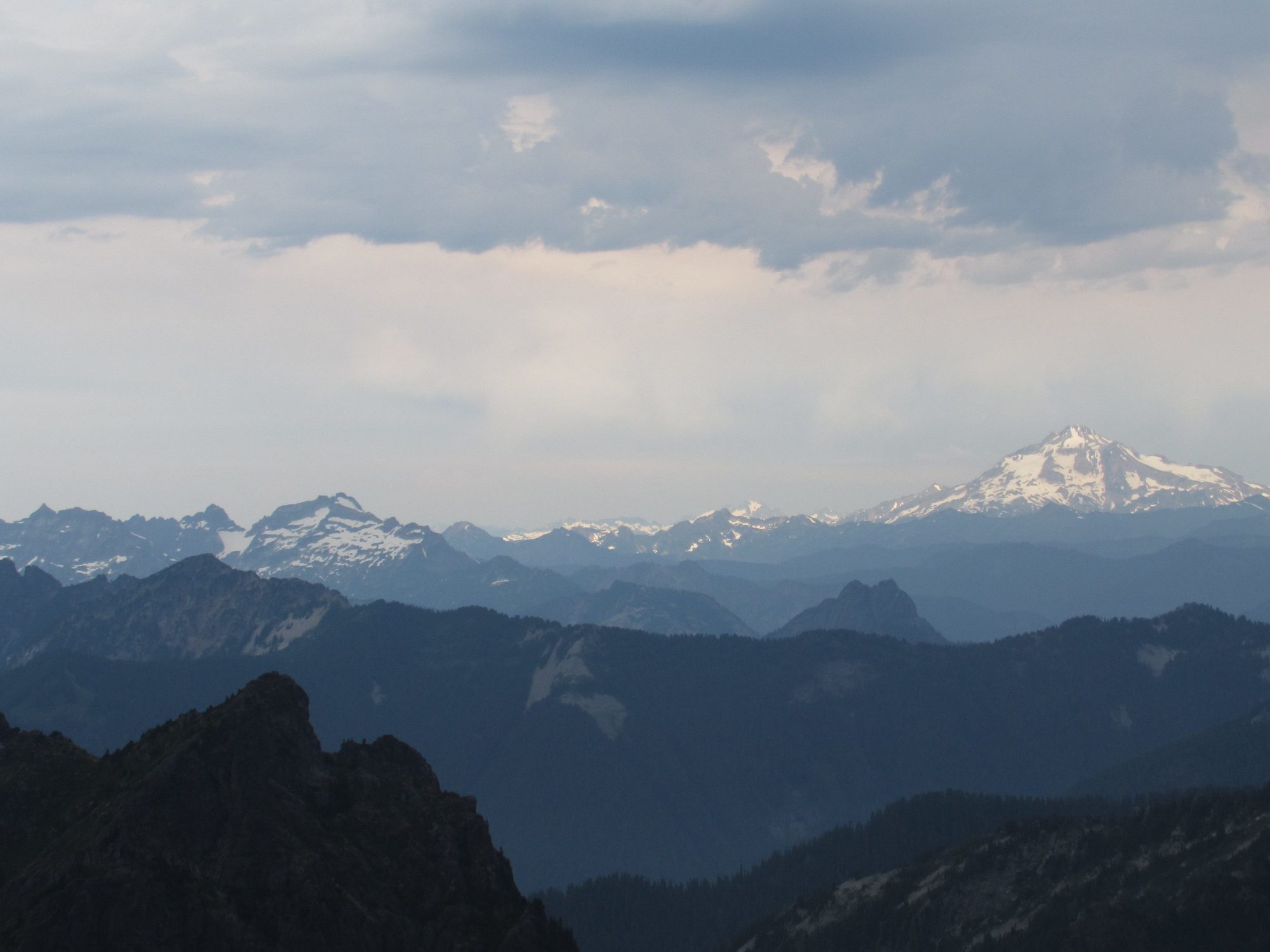
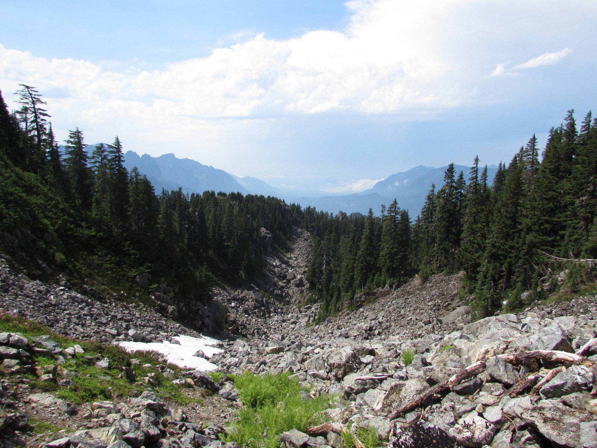
At the end of the first hill, you will crest the west ridge, which you will roughly follow for the next 1 mile. At some point you will need to go below some cliff bands and then follow a faint climbers path up the hill on the other side. This leads to the basin below the summit of Mt Baring. The summit on the left is the north summit and your destination. The south peak is rarely climbed because it is shorter and more difficult.From the basin follow the boulder field up to the saddle, go left and follow easy scrambling to the summit. You will cross a couple more boulder fields, but navigation after the gully is easy.