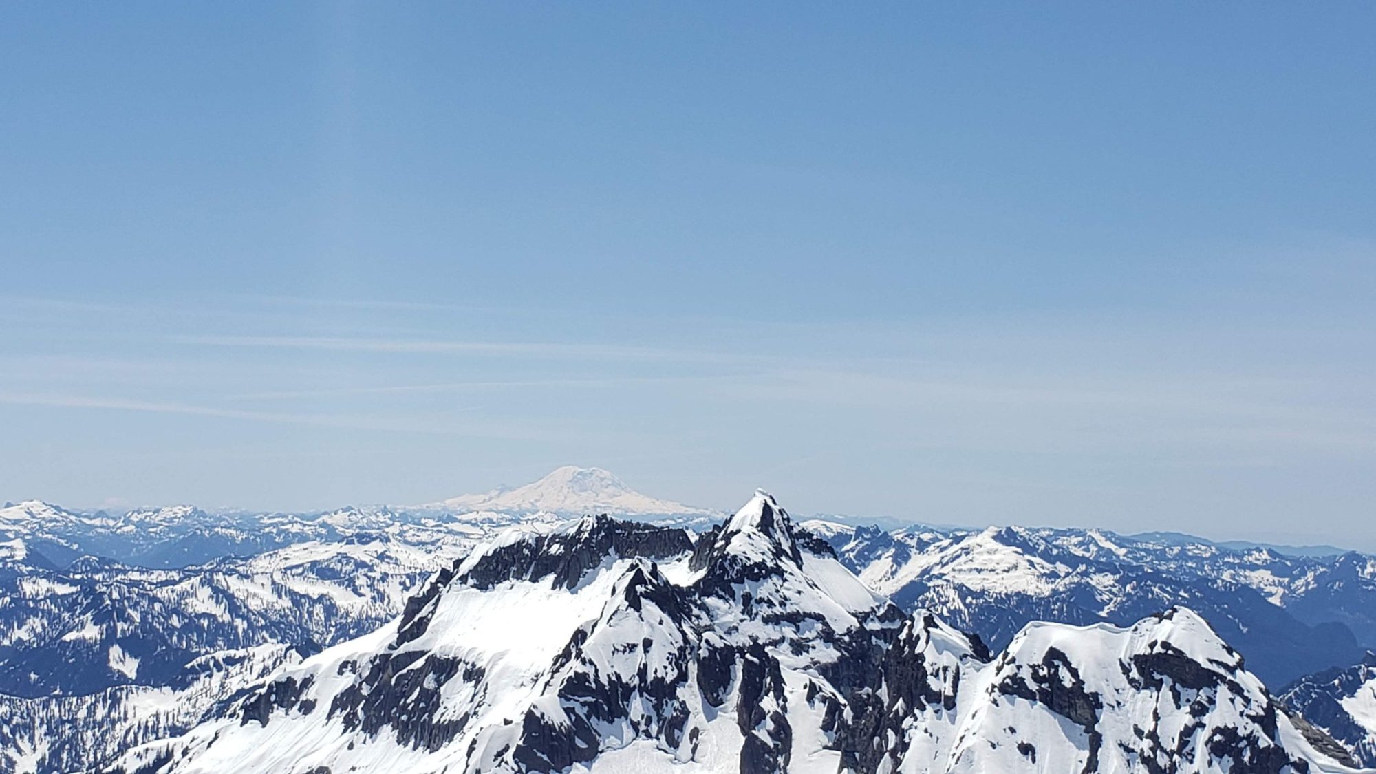
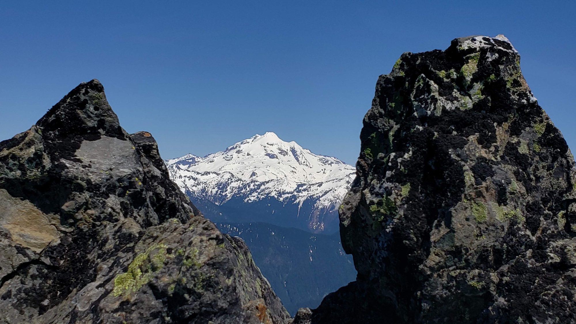
Washington’s Cadet Peak is one of those that many day hikers have glanced at and never given it a second thought. It rises high above the Monte Cristo Townsite and sits in a sea of peaks known as the Monte Cristo Sub Range. If not for its inclusion on the Everett Mountaineers Peak list, I would’ve never even given it a second thought.
Not sure when the trails would open, I had ridden my bike from the deer creek gate all the way to Monte Cristo the week before. That way I could check out the Cadet peak and snow/trail conditions. Luckily, the road and trail opened on the 22nd saving me an extra 15 miles of bike riding.
To begin the climb of Washington’s Cadet Peak, make your way up to the Monte Cristo Town site. I would suggest bringing a bike. On the way to the town site, the road is easy to peddle and only takes an hour or so. On the way home your legs will thank you. Once in the Town site, there is a bike rack under one of the trees. With your bike locked up, walk up through the first part of the town, turn left and go over the bridge. As the trail gets to the end of the town site, follow the signs for Glacier Basin.
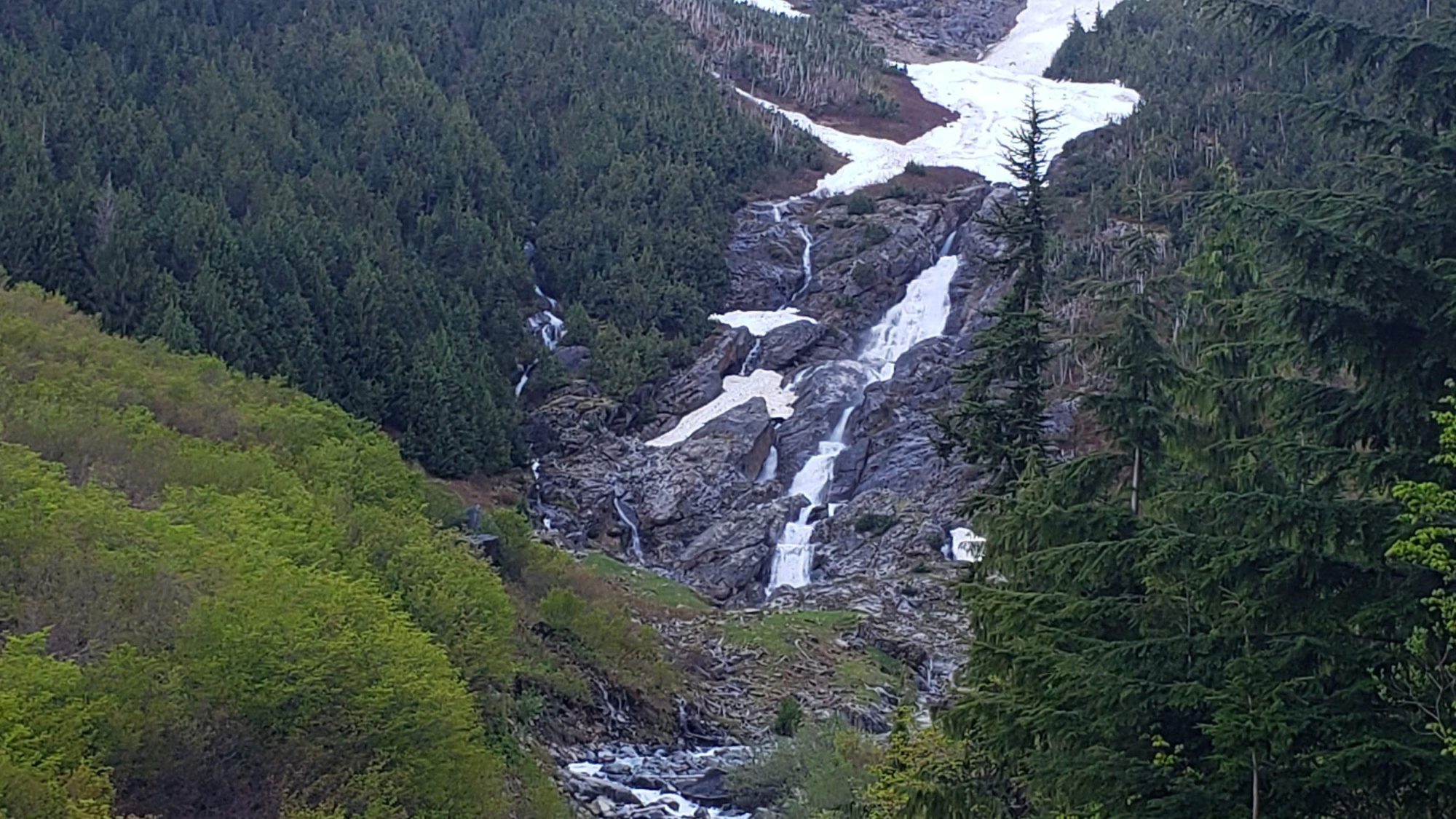
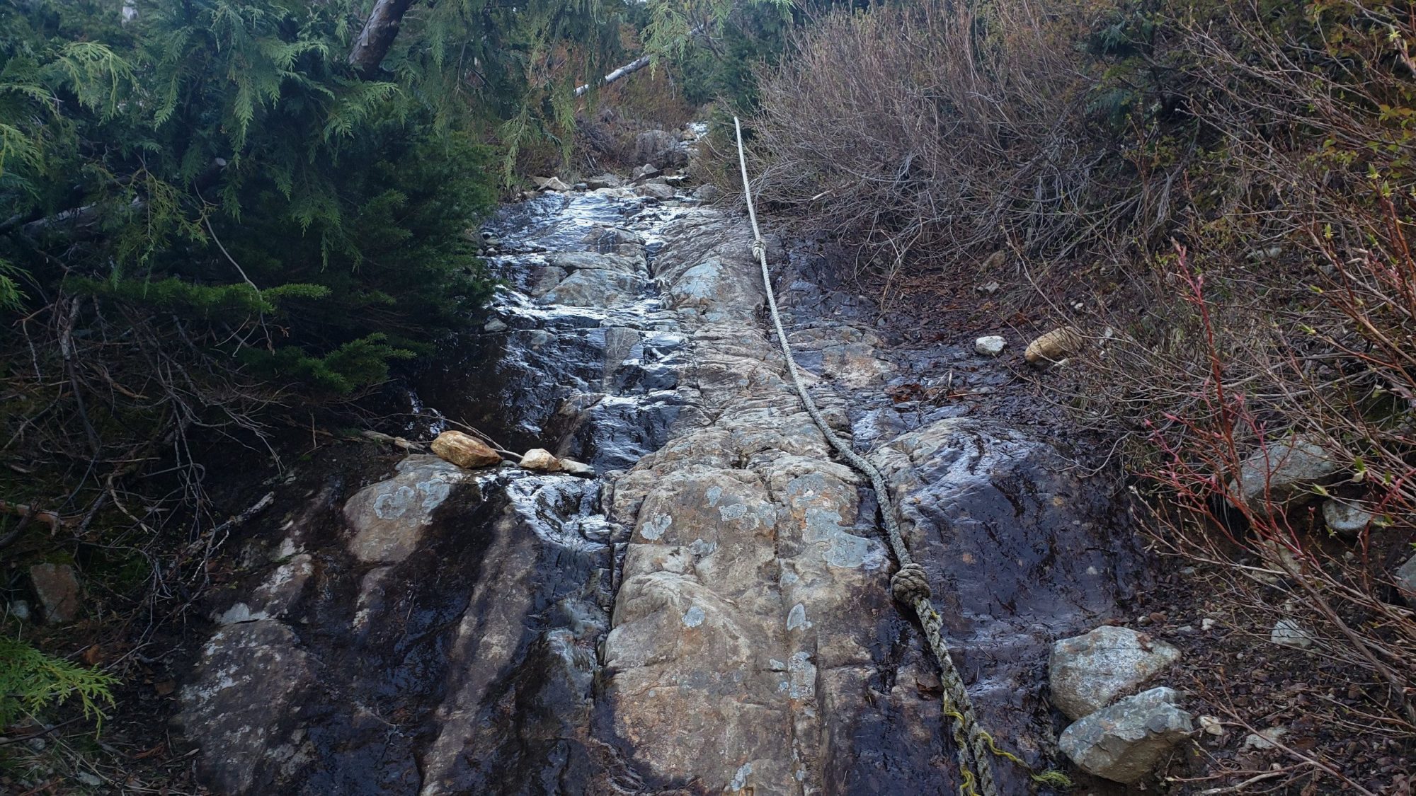
Up until the large waterfall along Glacier Basin Trail, the day was snow-free and easy to navigate. Once the trail began to climb up and around the waterfall into the basin, patchwork snow began. Much of it had thin snow-bridges and was tough to navigate around. All of it was melting fast, so, waiting a week or two may be best for getting into the basin if you are planning to go now
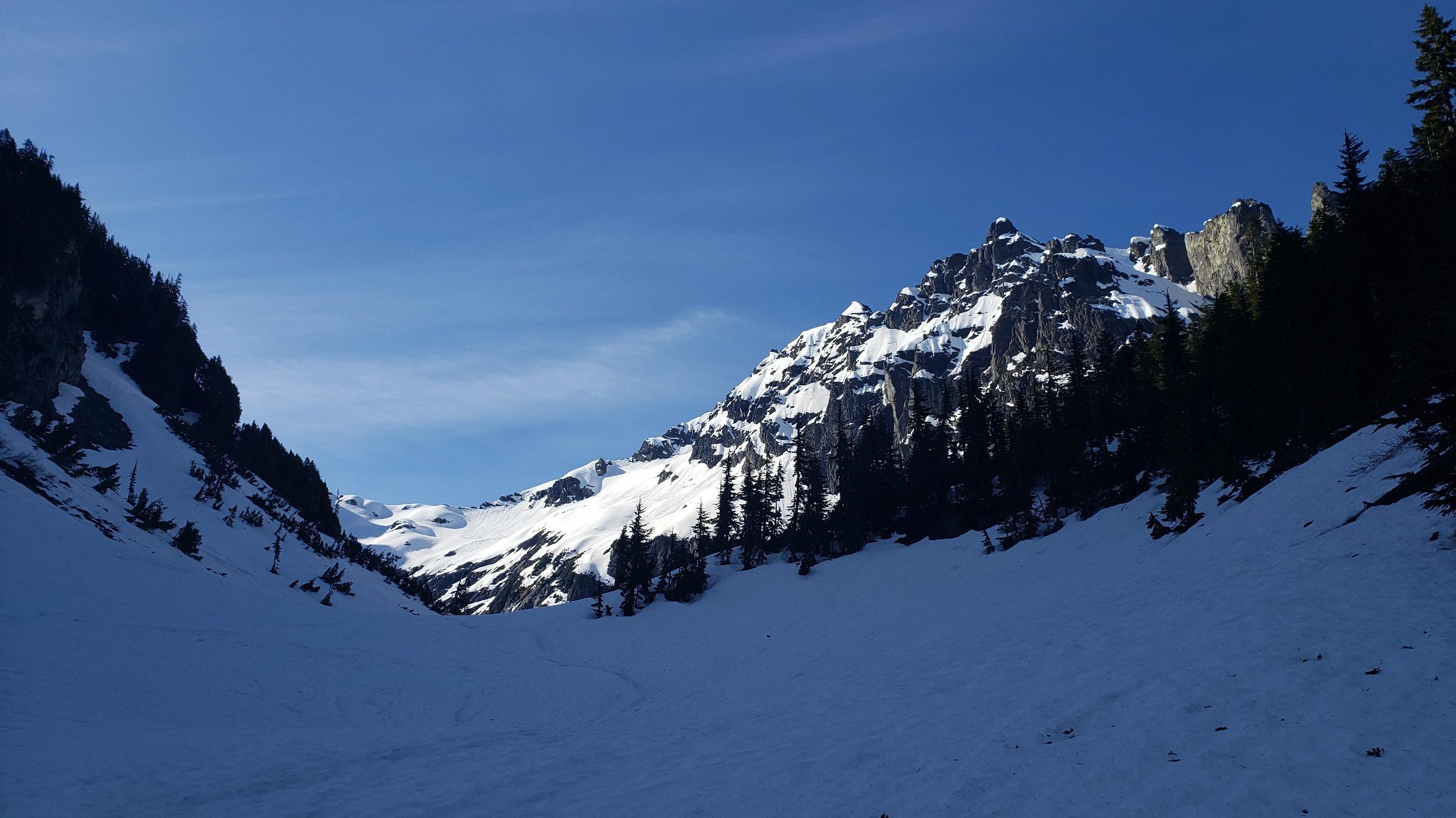
To climb Cadet Peak during the summer, you will need to locate a spot to cross the creek in Glacier Basin. This can be tough in the early season if melt water is high. Luckily I was able to use some firm snow to get across the creek with ease.
To start the climbing route, you are looking for a narrow gully filled with mine tailings. You will be able to tell them by the reddish color. But, that is only during the summer. With this much snow on the ground, telling rock color apart is impossible. Instead during the winter (or spring) do as I did and take a GPX File along. I have provided mine and you can find multiple others on places like peakbagger.
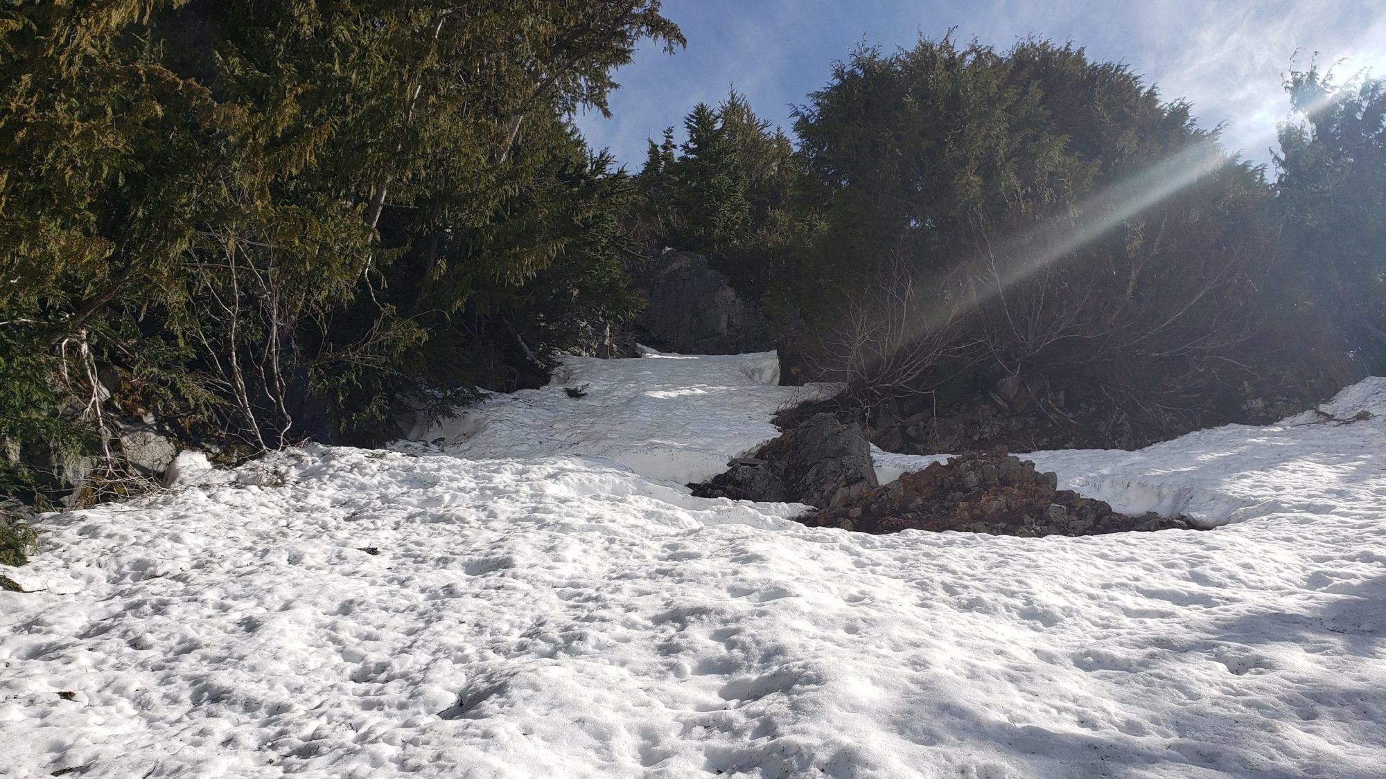
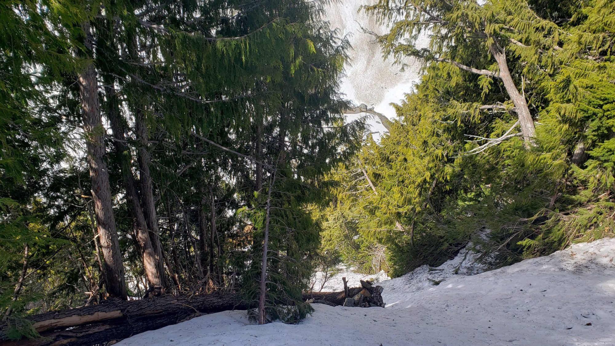
The basic idea of climbing Cadet Peak is to use the rib that separates two gullies. There will be some bushwhacking and either snow or scree to navigate. There is not much to say except that the terrain is steep.
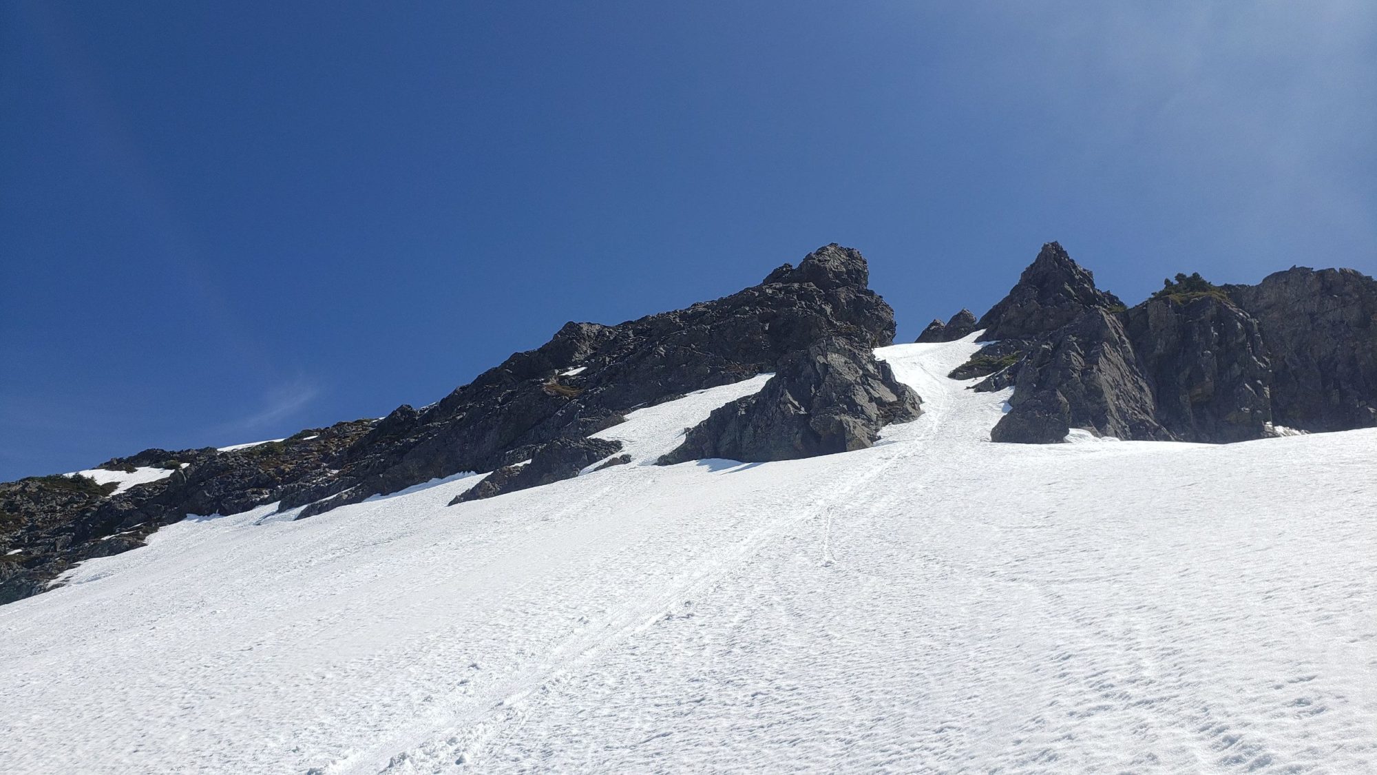
The terrain to follow should be obvious as you climb. Cadet peak will naturally lead you climbers left and over the ridge-line. Continue to climb straight up along the ridge-line until it starts to cliff out.
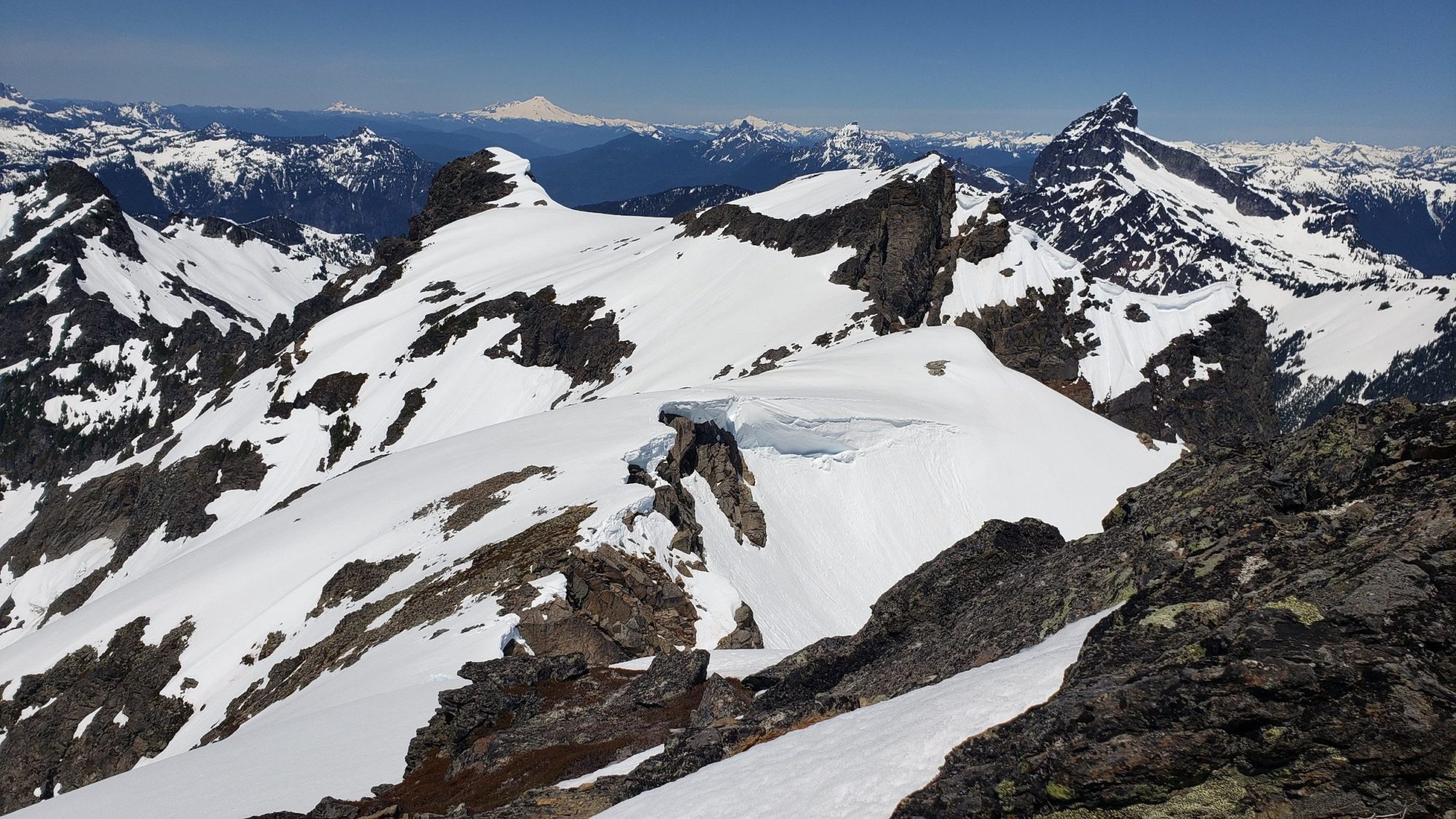
From here I have heard of several routes up Cadet Peak. Due to the snow conditions, while I was up here, I chose to traverse under the cliffs to climbers left. This led me to a snowfield and some easy scrambling before the final summit push.
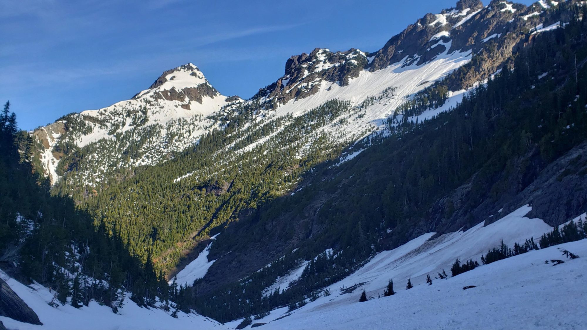
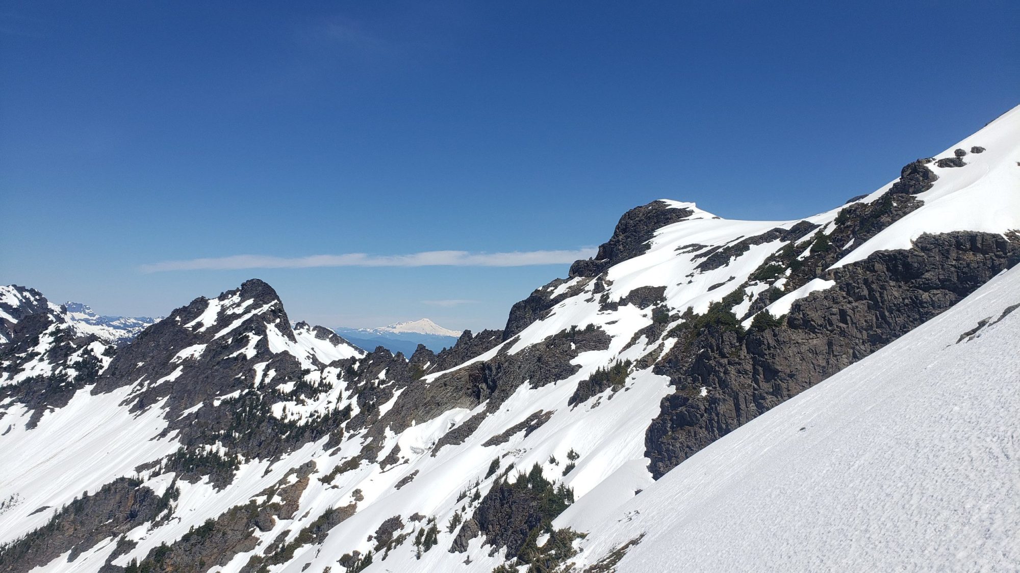
The climb of Cadet peak is itself unremarkable. With some route finding and a little motivation, it is doable by most strong hikers. But, what I did find difficult is how steep the peak is. Not in one or two spots, but for the entire time after leaving Glacier Basin. In the snow, there were areas that felt as though a fall would mean I’d keep going. If you can’t handle exposure, avoid this one.
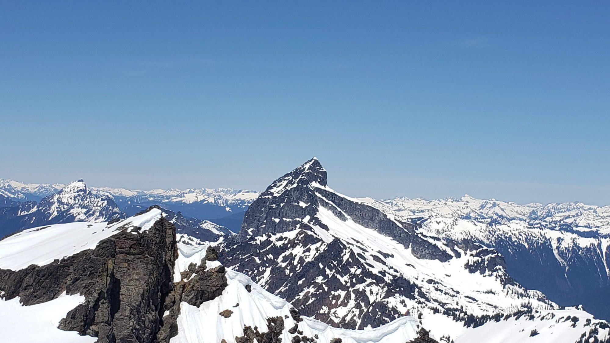
For any early season attempts, make sure to have an ice ax and crampons. While Cadet Peak was a good day out, nearby Columbia Peak felt like far more of a challenge. Check it out for an excellent long day or 2-day climb.
For a few other great challenges in the area you can always check outColumbia, Silver Tip, Kyes Peak or Del Campo.


