 May 29, 2021
After making it to the top of Idaho’s tallest peak and Climbing a Cannon (another Bulger) the week before, I wanted a nice big challenge. So for, memorial day weekend I chose to take on three Bulgers in the Entiat area. Saska, Emerald and Cardinal seemed to be the best option. From what I could find they are rarely climbed this time of year. Plus they should still have snow to limit any scree walking. For a Memorial day weekend it sounded perfect.
I left the Everett area around 7pm and sat my way through the holiday traffic. The drive is about 3.5 hours on a good day, but, it took me closer to 5. I was ecstatic when I pulled into the parking lot and immediately jumped out to ready myself for bed. Across the parking lot there was a group of campers who readily approached me. All they said was “we are camping here” and stared at me. In the moment it felt a little freighting getting approached at 11 o’clock at night in the middle of nowhere. Turns out they were busy drinking and didn’t want me to interrupt their fun. I gave a prompt assurance I was heading for bed and did not care what they were doing. After that all was well.
I woke up in the morning about and hour later than I was hoping too. The long drive combined with little sleep through the week made me hit that snooze alarm a couple of times. I was little worried though since it is 9 miles to camp and I had 3 days to get the round trip completed.
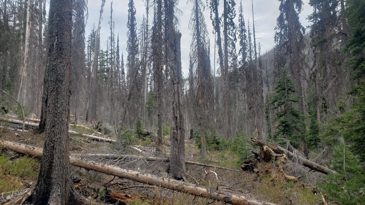
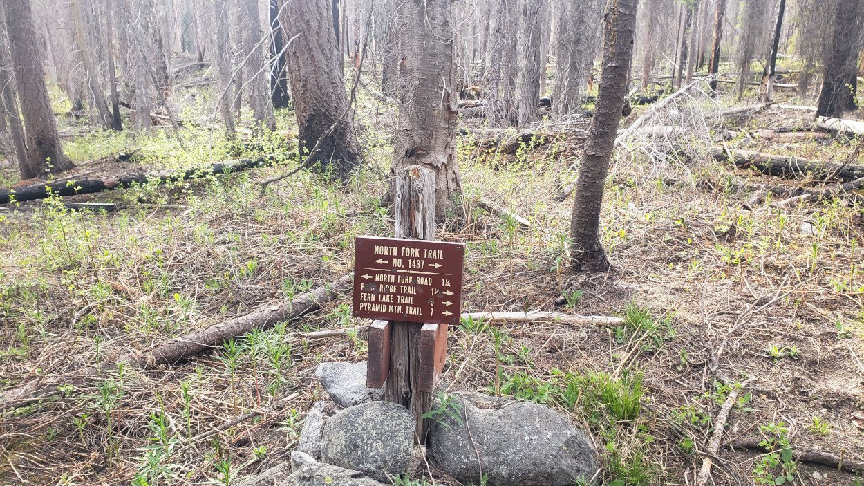
The first section of the North Fork Entiat river trail is difficult not for it’s elevation gain or anything else. Simply it is difficult due to the lack of maintenance. A fire came through here a year or two previous and the logs have not been cleared. That means the first several miles is just hopping over one log after another. You will need to find creative ways around, over and under everything in your path.
Beyond the first section of downed trees, there is one river/creek crossing over which the bridge is “out”. It is still there and hanging in precarious fashion over the water. Due to how high the creek was, I had to use it to scoot across. It worked, but I wouldn’t recommend it if you can find another way. It wobbled and flexed the entire time I was on it. Not the most comfortable feeling in the world.
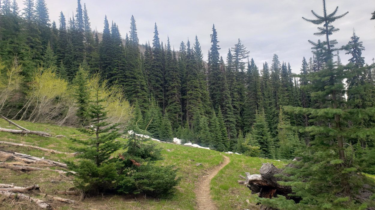
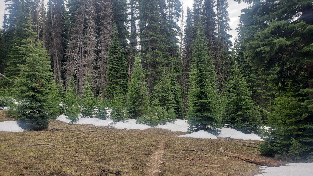
After the creek crossing the trail winds through the woods at a gentle pace. After around 8 miles it will turn right and head up hill towards the basin that holds the three Summits. This time of year (this particular year) the snow was good and solid. The navigation was easy for the trail being almost completely obscured. It will wind through meadows and wooded sections. Enjoy it because the climbs will take your energy.
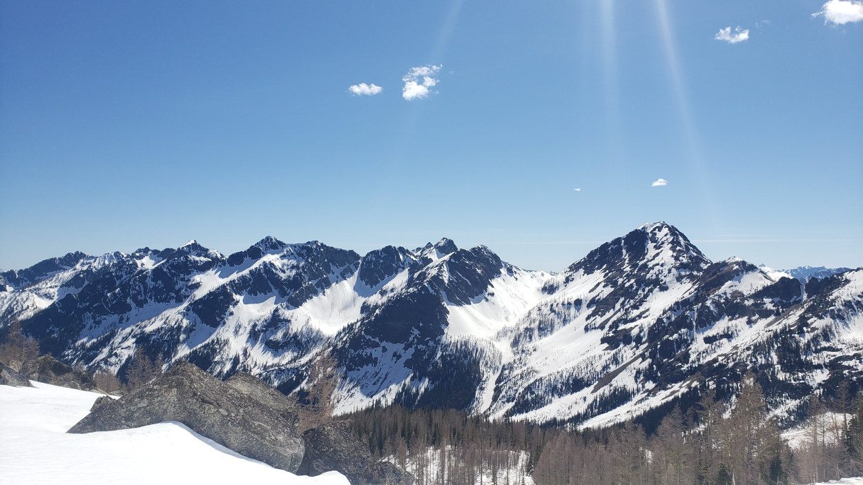
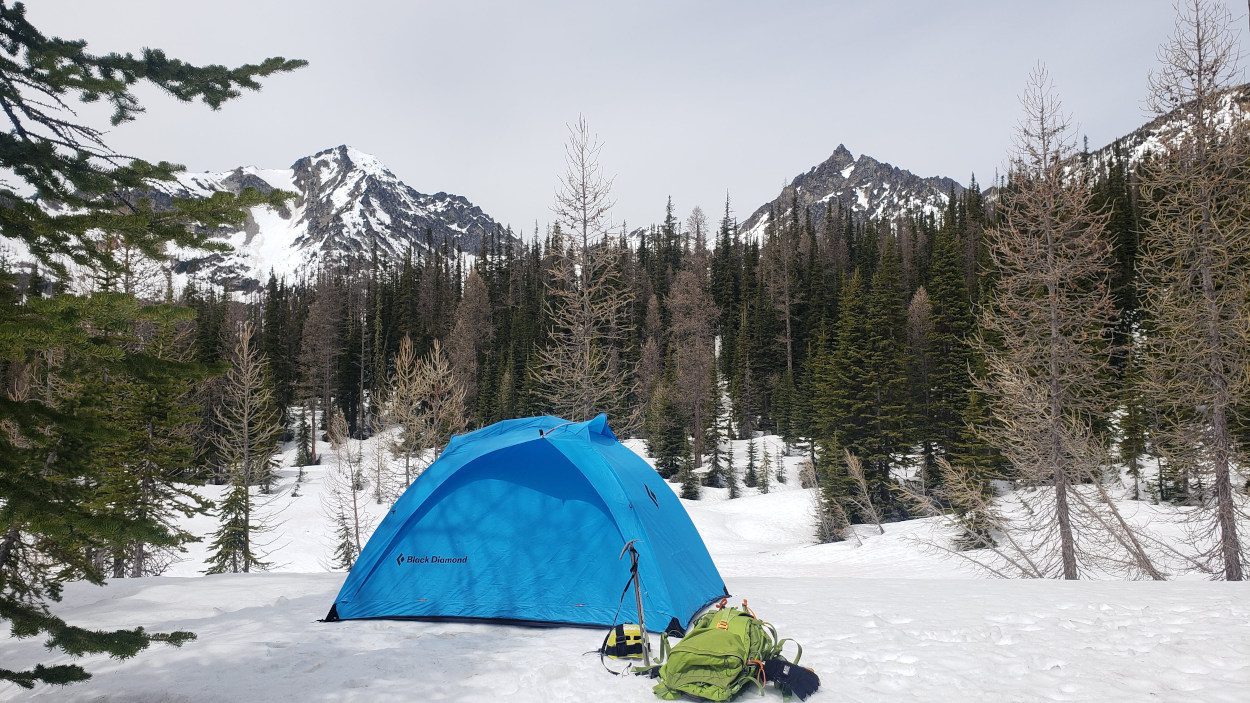
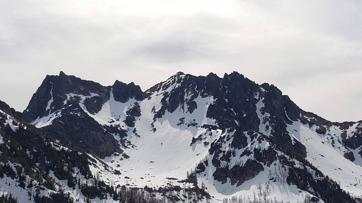
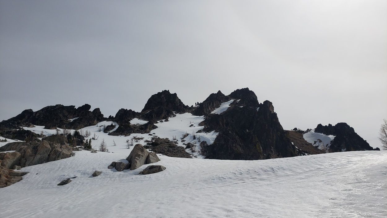
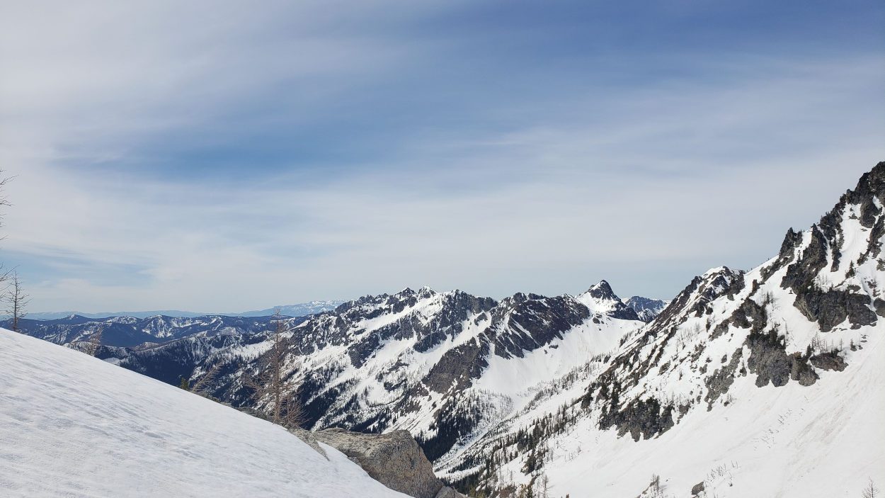
Once the trail meets with the Pyramid Peak Trail (mile ~8.5), head west and it will almost immediately come to a clearing. Due to the amount of snow on the ground this made an excellent campsite. Though if it is summer you may need to search around for somewhere suitable. There was good spots to hang a bear bag and a wonderful view of my objectives. After making camp, I wanted to at least get one of the peaks in for the day So I headed for the nearby Cardinal peak.
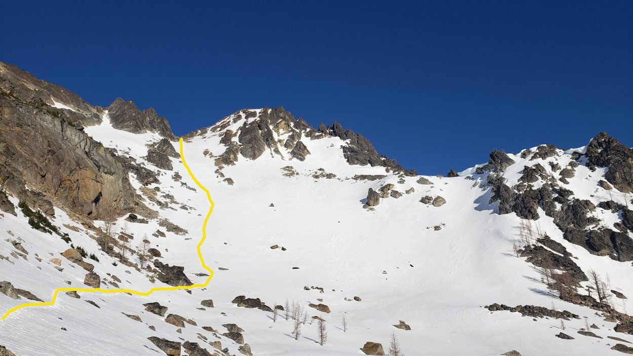
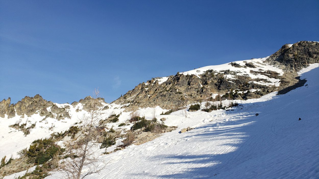
From where I set up camp it was a mere ~1 mile to get to the gully area on Cardinal peak. You can see a full GPX of my route from camp at the link. I had seen photos of it from my research, but being in front of it seemed so much bigger. I felt excitement at the challenge so I took time to put on my helmet, strap on my crampons and get started. The entire way up the gulley area is brilliant. The view gets better with every step and the climb just felt like good old fashioned mountain fun. One of those perfect little gullies in ideal weather. Up until the ridge line the entire day felt like it was coming together perfect.
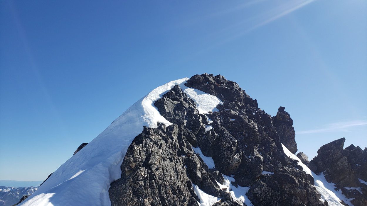
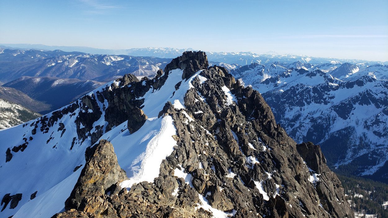
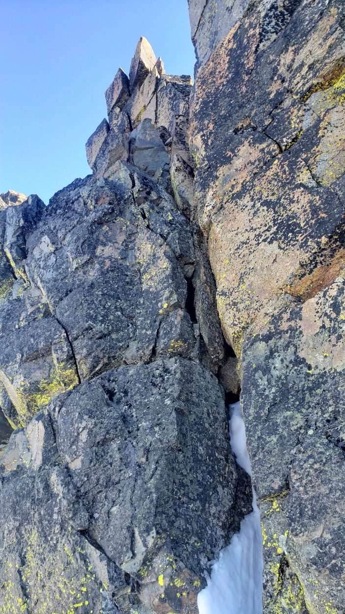
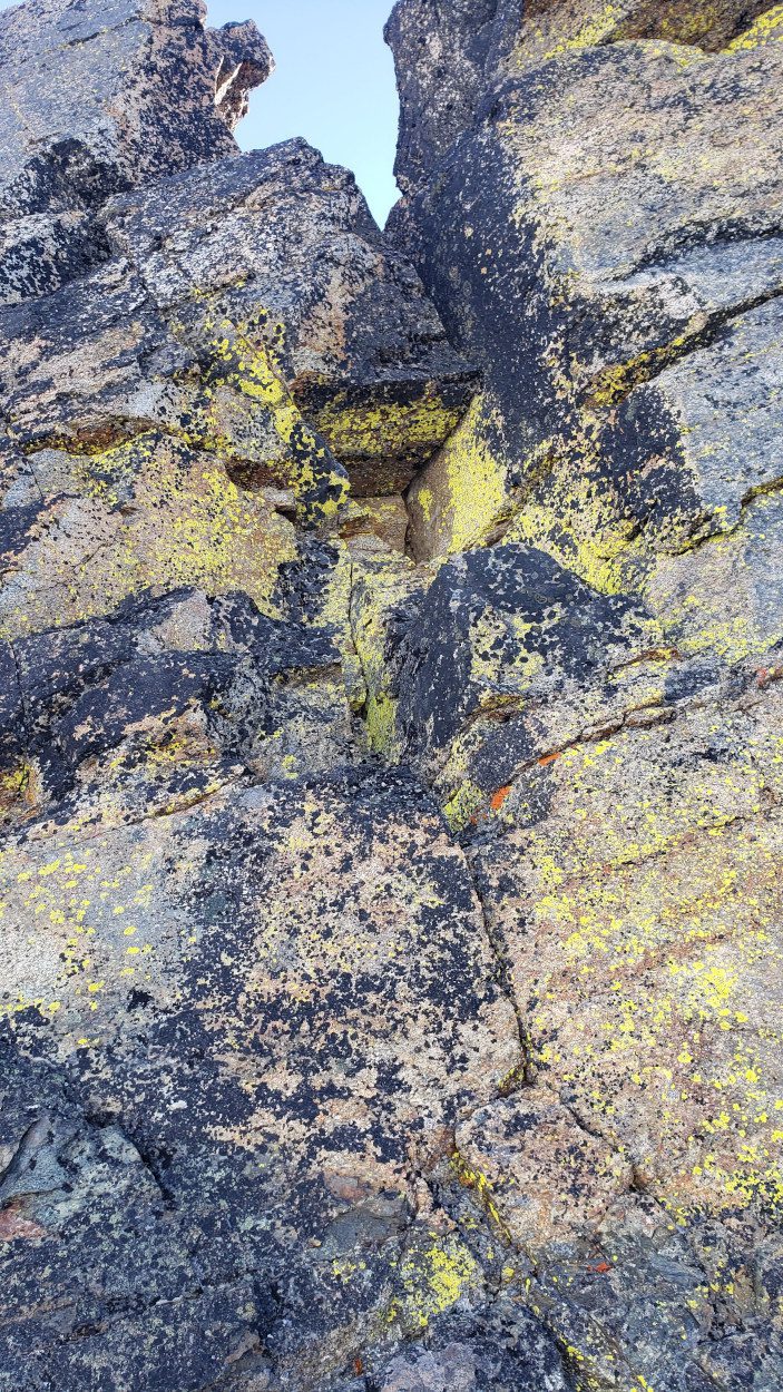
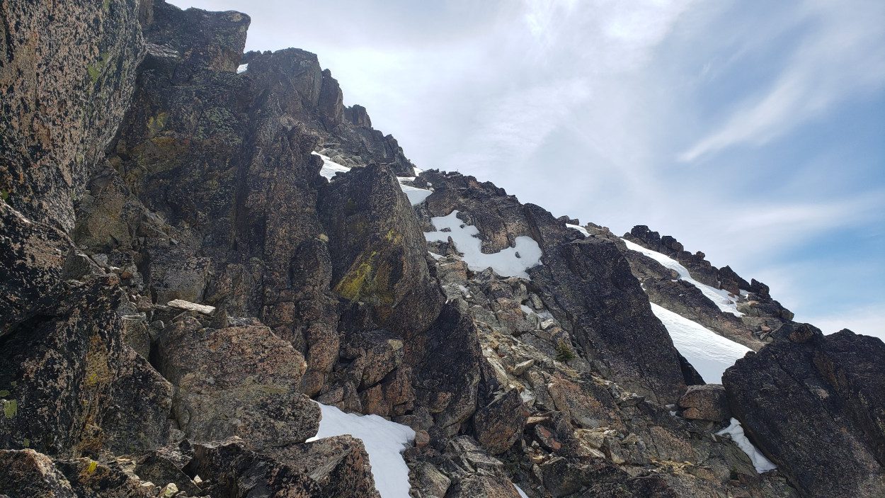
On this particular day it was the final ridge line of Cardinal Peak that would give me a run for my money. One side was draped in cornices, the other had the right amount of snow to obscure any foot and hand holds. The center of the ridge had plenty of rock showing though, so I went for that. Up to the first false summit there was several class 4 moves. Nothing had any terrible exposure so it was fine to take it on.
It was not until the very last section of ridge that things got a little hairy. The way the snow had fallen made it so that a traverse out to the north side of the ridge to get to the summit block was the best option. This was a little nerve wracking though since the consequence of any fall here would be extreme. Below the snow slope was a small cliff and a 500 foot or so drop. When you are solo in a place like this, and have not seen another soul all day, it gives you some good pause. I went for it, but for most people, waiting for a summer day to take this peak on may be the better choice.
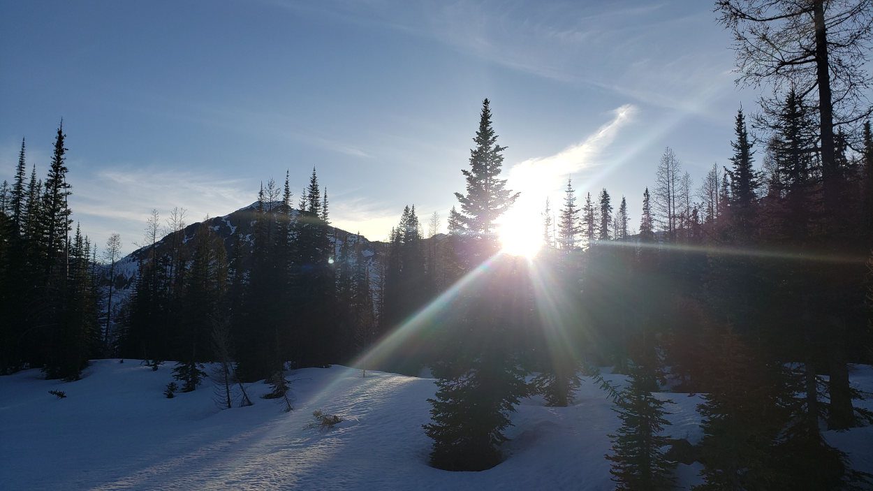
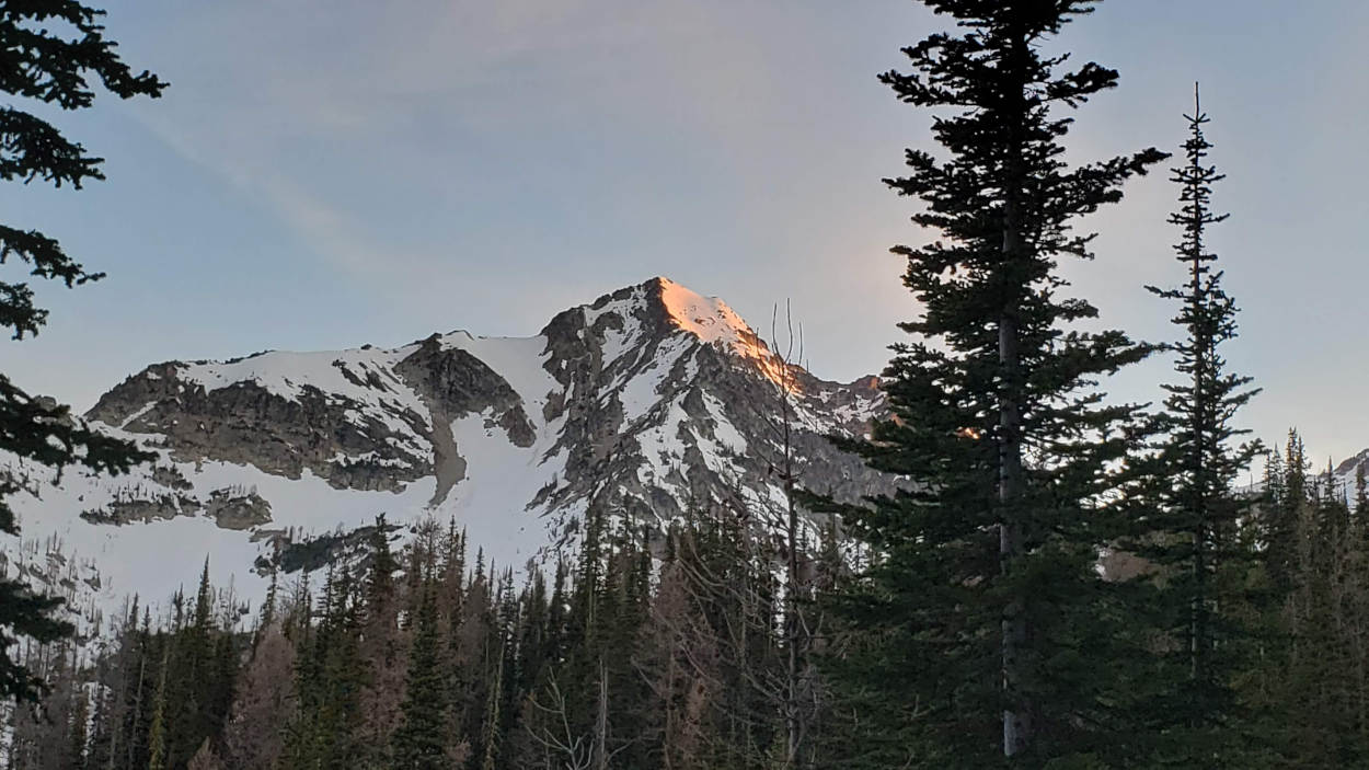
From the top of Cardinal Peak it was an hour and half journey back down to my tent. I sat in awe of the silence I was getting to experience on memorial day weekend. Three peaks all to myself in Washington’s back country. Dinner was delicious, dessert was better and the Sunset was a cap on the day’s events. It did not take long to drift off to sleep.
 May 30, 2021
I woke myself up on Sunday morning around 4 am. I had this crazy thought in my head that I could take on the next two peaks and get back to the car before dark. This way, I could drive to Leavenworth early the next morning and stop in for lunch. If all went well I could make it back to the Everett area before traffic reached epic levels.
After a quick breakfast of rolled oats and dried fruit I headed off to take on Saska Peak. From my camp area it was about a 2 mile journey to the bottom of the peak and I accomplished it in a little more than an hour. I was feeling good and consulted the GPX I had made based off others routes I could find. The interesting thing to me was that it seemed everyone goes up to Saska pass and then up that ridge. When I arrived at the bottom of it though, the (east?) prominent ridge you can see on maps looked like a perfect ascent route. You can see a GPX of my route here to see what ridge I am referring to.
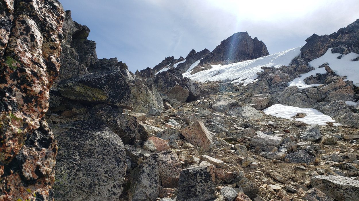
The beginning was nice and steep so I changed out my tools and started up. For the first couple hundred feet of gain it is very steep and required some low grade ice climbing work. Judging from the loose scree underneath I would imagine this is far more difficult of a route in the summer. This may explain others tracks toward the next ridge over.
After around 1000 feet of gain Saska Peak levels off along this ridge and you get a view of the remaining climb. At first I thought I had climbed myself into a trap. The ridge gets very steep and in spots has a huge amount of exposure below. Most of this once again was due to the snow so it could be very different in summer time.
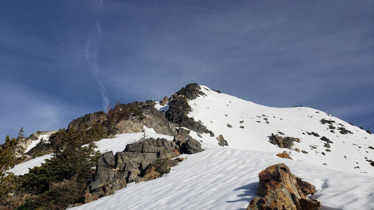
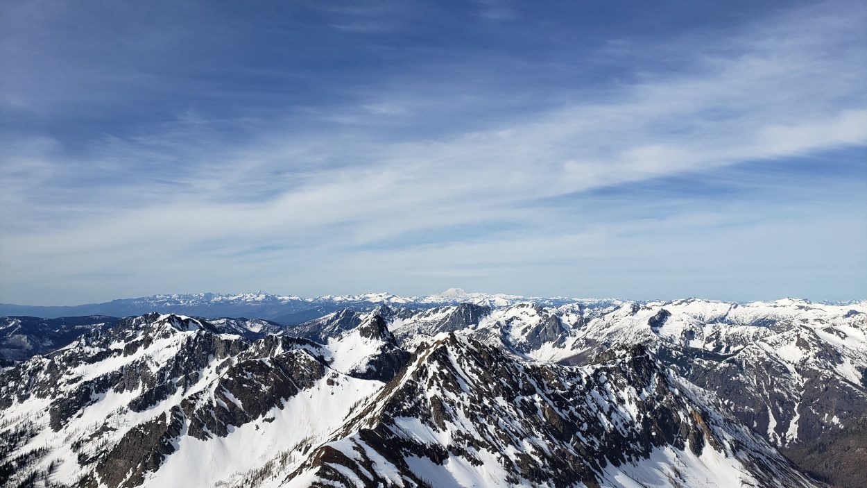
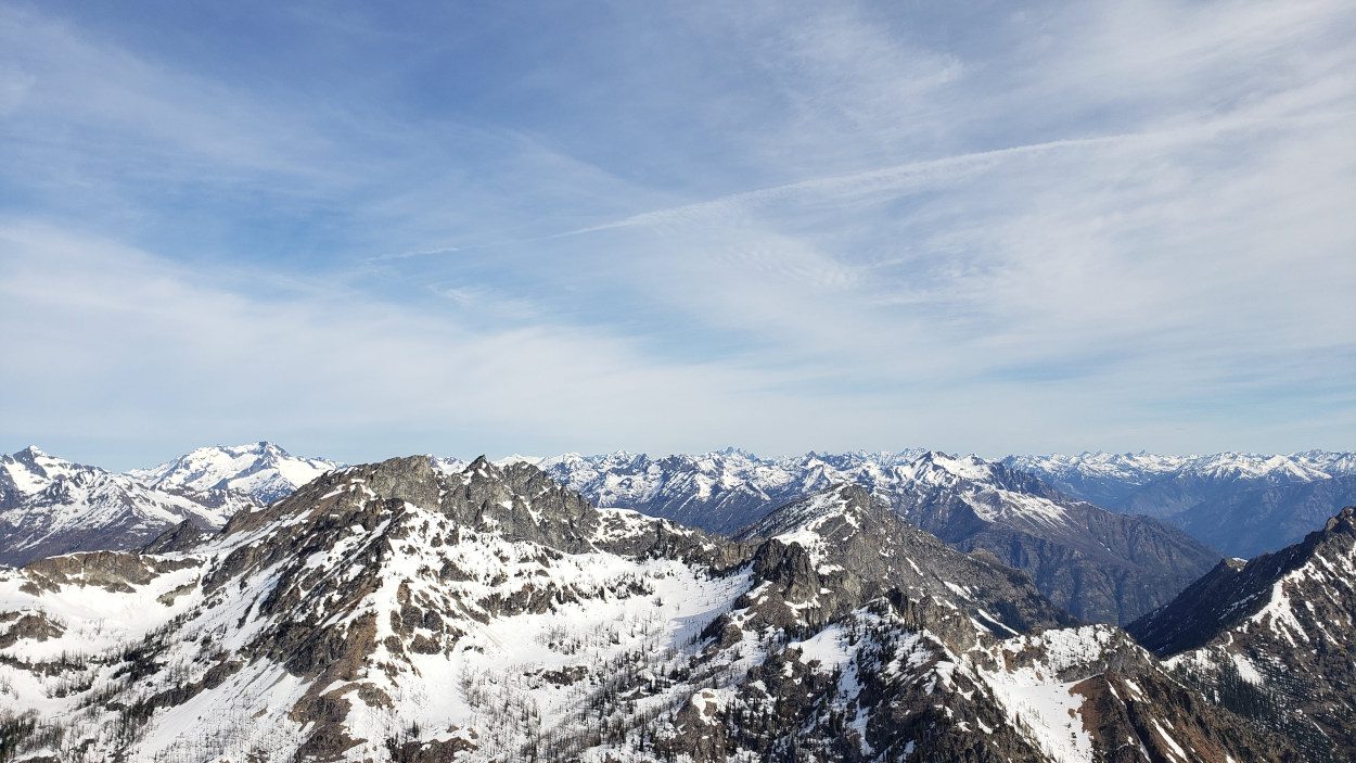
That final few hundred feet was taxing. I made some 3rd and 4th class moves and more than once had to kick in a few steps to get around some rock outcroppings. It was worth it though. The view from the top of Saska peak is outstanding and that combined with a second Bulger in as many days made the whole thing feel surreal.
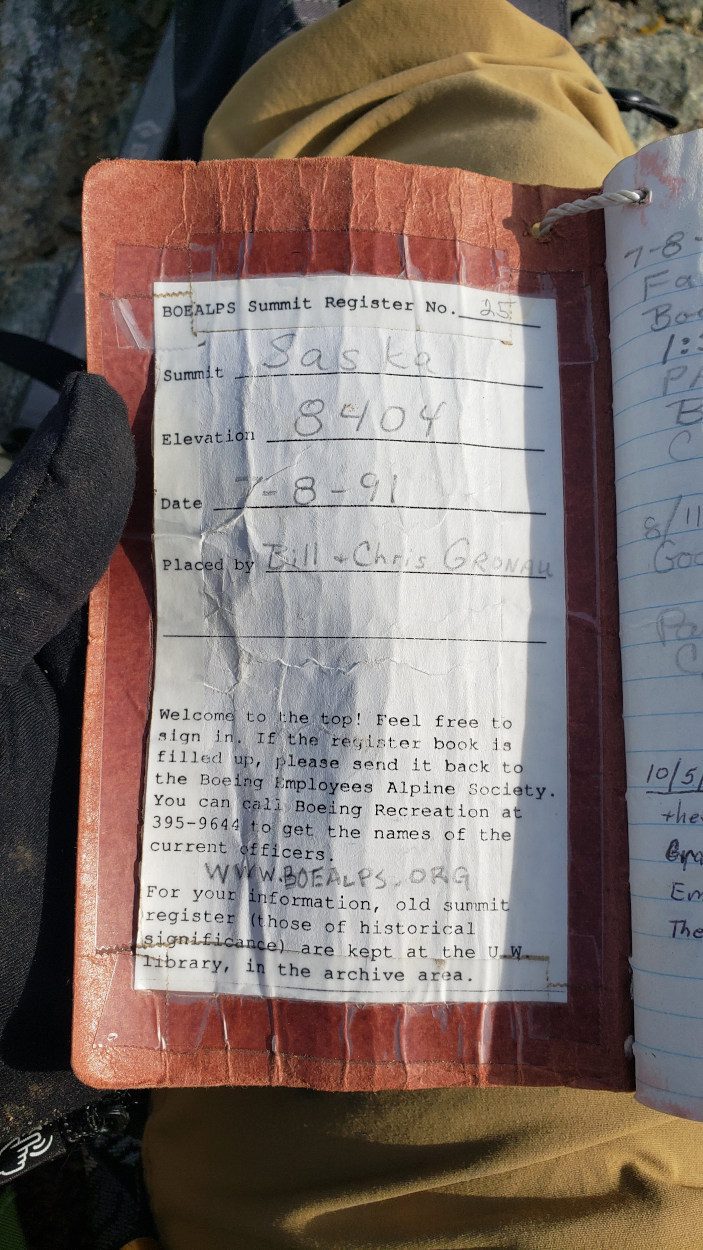
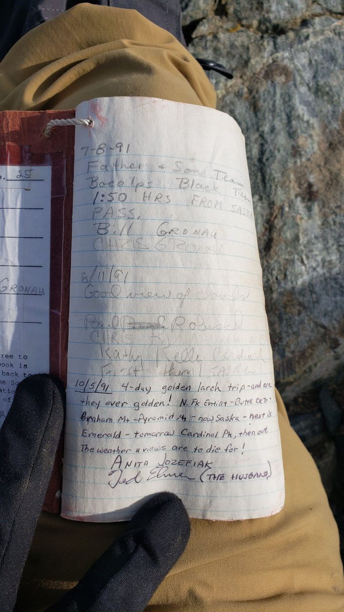
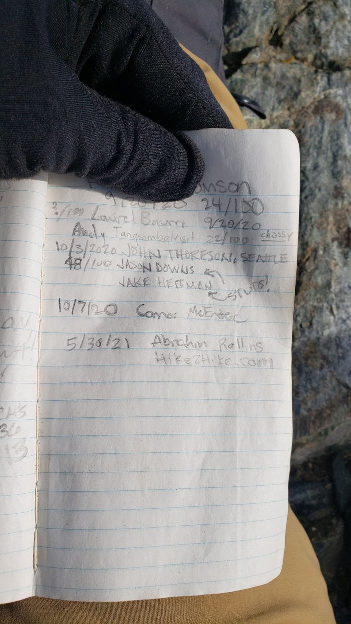
I signed the very old summit register, enjoyed some of the entries and then stared across at Emerald peak. It was time for the next challenge.
If I was too judge from the top of Saska, the standard route on Emerald peak looks unclimbable. I knew that could not be the case since so many climb it all the time and so I found the best way I could to start ascending. From near the bottom of the route on Saska there were a few waterfalls running that come down a slabby watercourse. With snow on them it made the perfect spot to make a trail. If it is summer I would imagine you will need to be a little further north where I could see scree fields. Either way, once you work up to the bench around 7800 you will see several possible scramble routes. You can see my route here starting from the base of Saska.
If I was too judge from the top of Saska, the standard route on Emerald peak looks unclimbable. I knew that could not be the case since so many climb it all the time and so I found the best way I could to start ascending. From near the bottom of the route on Saska there were a few waterfalls running that come down a slabby watercourse. With snow on them it made the perfect spot to make a trail. If it is summer I would imagine you will need to be a little further north where I could see scree fields. Either way, once you work up to the bench around 7800 you will see several possible scramble routes. You can see my route here starting from the base of Saska.
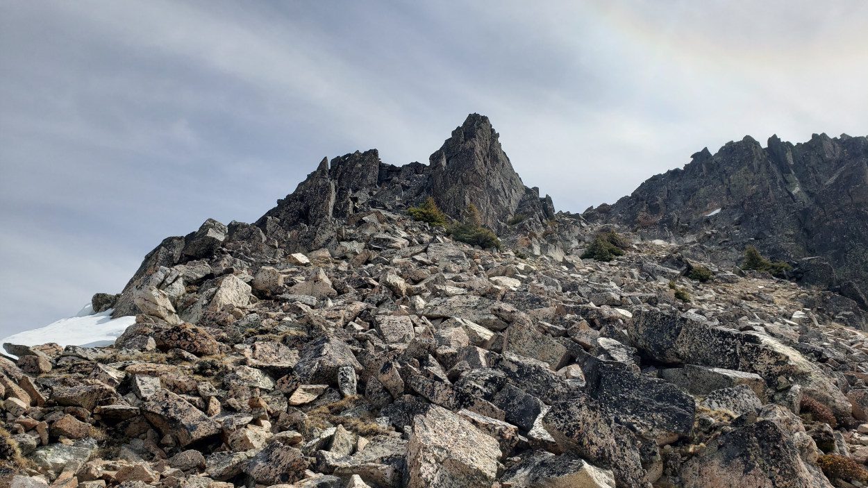
None of the scramble routes looked far different than the others so I chose one and went for it. I did not see anything that got over a class 3 on any of the small routes and all have almost zero exposure. Work your way up and to climbers right as you ascend. Before you know it the true summit will come in sight.
At the summit there are two possible spots that looked like the high point. One was a narrow scramble along a 20 foot ridge. The second was a blocky outcropping with a few simple scramble moves. I don’t know which spot is higher so I went to both for good measure. I could not find a summit cairn or a summit register, but, I could not see a higher point on the Emerald peak.
After climbing Emerald peak I headed back for my camp. When the day began I had given myelf until 3pm to return and start packing my stuff up. Otherwise getting the ~9 miles to the car would be in the dark. So I had figured, if I can’t get back then I would spend another night out and walk out in the daylight. I actually ended up making it back to the tent right before 2pm. I was over the top that this weekend had gone so smooth. After all it was memorial day, I had not seen another soul in 48 hours and I climbed three Bulgers.
I packed as fast as possible, ate a snack and headed for the car.
When leaving camp I had made the decision to leave on my crampons. The snow was still hard packed and the first 0.5 mile is down hill. I figured it wouldn’t hurt to have the traction and I could pop them off at the bottom of the hill. Until about 10 feet before where I was going to take them off, the plan worked perfect.
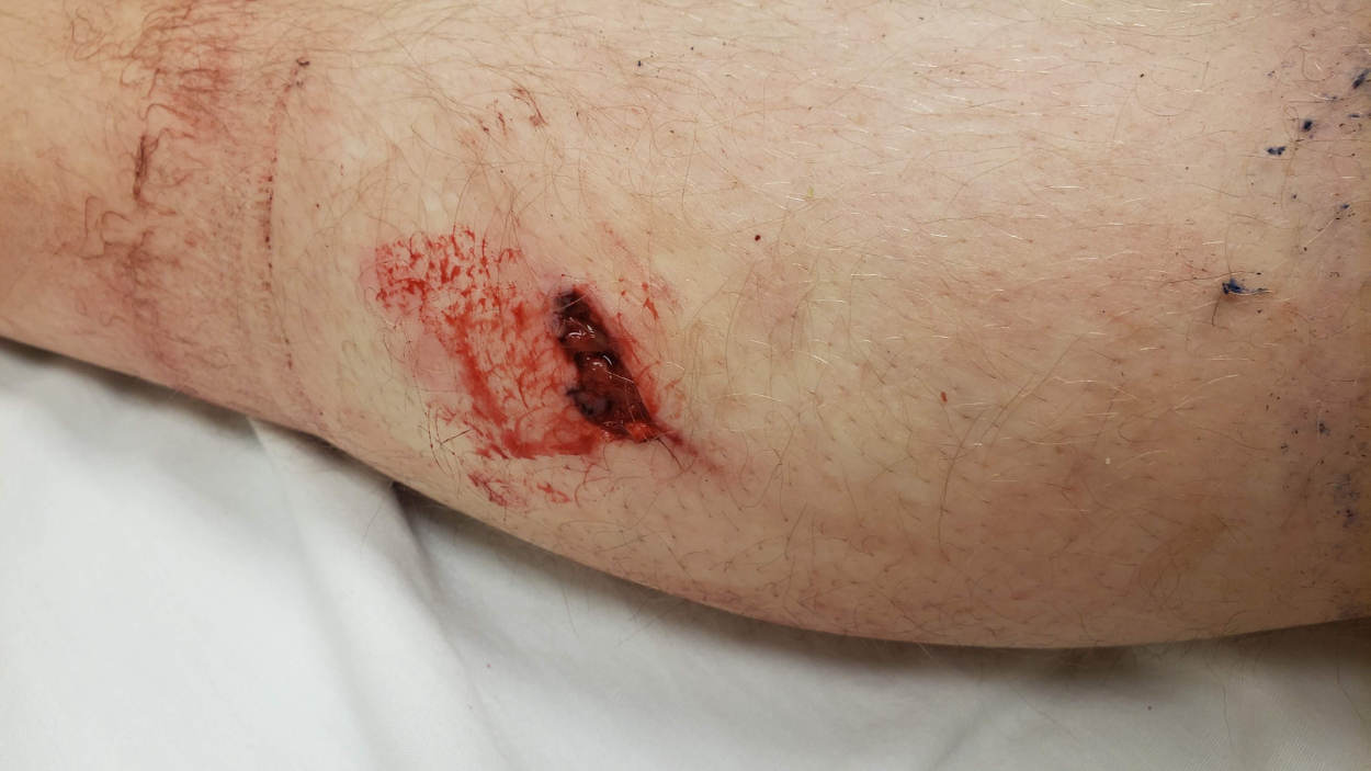
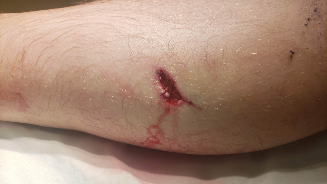
Around 10 feet from the log I spotted to sit and remove my crampons, I stepped on a piece of snow that I had tested with my ice axe. I did not hear any water running underneath and thought all was fine. However, as soon as I stepped on the patch of snow, it broke through. My left leg hit a rock underneath the snow, got deflected over and my left crampon went into my right calf.
I immediately let out a blood curdling yelp, fell to the ground and rolled around grabbing my right leg. After about 30 seconds I came too and looked down. All I could see was my gaiter and it was covering whatever had happened to my leg. I made a split second decision that I need out of the woods. Without looking at the wound I walked 8.5 miles doing eveything I could to get to the car. Even gashed open I still managed to make it there by a few minutes before 7pm.
When I sat down on my the back of my car to rest and tried to stand back up, the severity of my legs condition became clear. I almost lost my balance and felt like my whole calf was a giant bruise. At this point I pulled back my gaiter to find my pants with a huge hole covered in blood. When I tried to pull back my pants they had stuck to the wound and I had to yank them off. As soon as I saw it up close, I knew I needed some help. As fast as I could, I sprayed cleaner in the wound, slapped the minimal bandaging I had over it and headed for a hospital.
Luckily the whole thing ended in only three stitches and a course of antibitotics. I am very lucky to have the strength to get myself out. But, it is times like these that remind me how dangerous my solo adventures are.
