


Spending a few days climbing Dumbell, Greenwood, 7 Finger Jack, and Mount Maude is still one of my favorite climbing trips.
However, this trip report escaped my site for a long time. During the height of the pandemic, most of my life fell apart, as I am sure it did for many other people. My logistics career went away overnight along with the initial shutdowns; my pet passed away within six months, and by one year in, my relationship had come to an end. All of that had a significant impact on my writing for this site. It shouldn't have. Now, I am back to using this as a place to relive my adventures and think out my thoughts to better maintain a healthy life as I mention here, and this trip was a significant turning point in my being happy alone again.
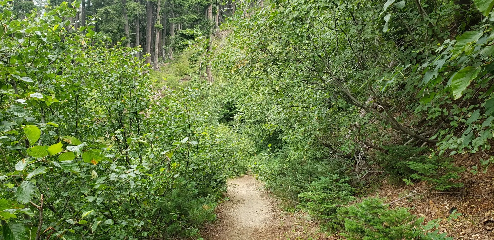
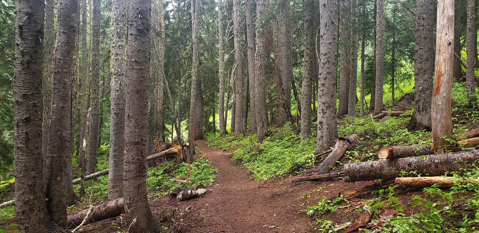
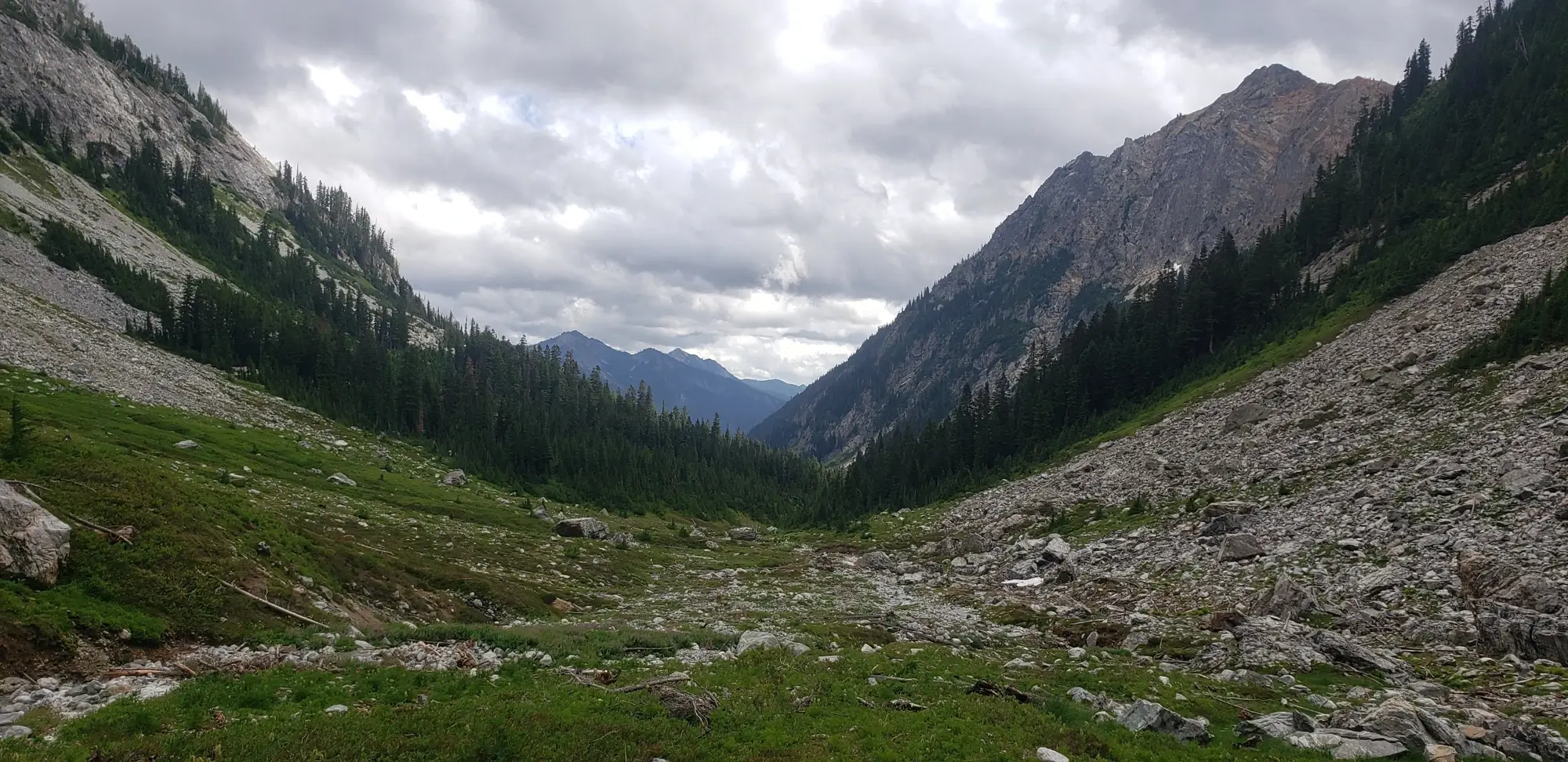
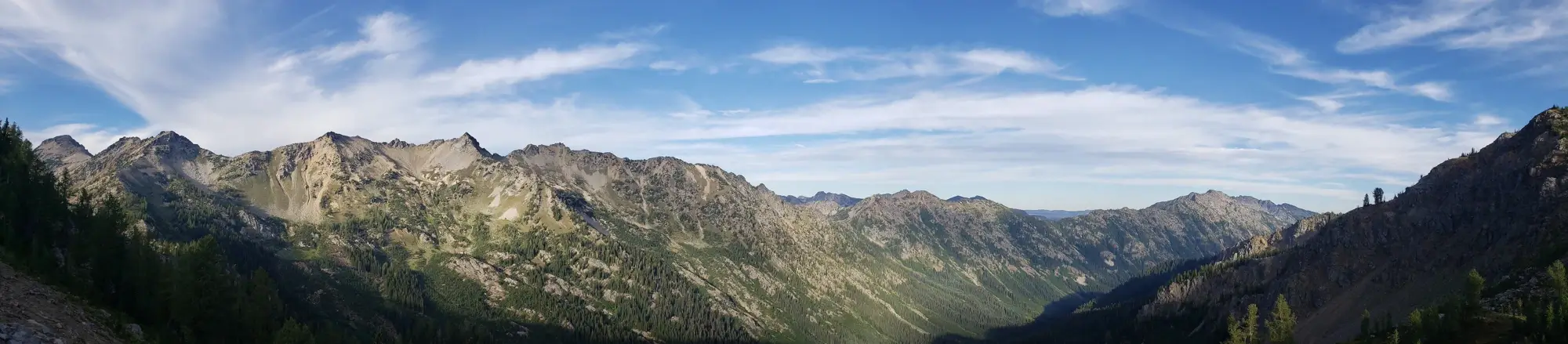
Whether you choose to climb all of these peaks at once or even combine them with others in the area, all of them are easiest to reach from the Phelps Creek trailhead near Leavenworth. Wandering into Spider Meadow, where the climb for Dumbbell and Greenwood starts, is a nice, easy path to follow, and there is plenty of camping in this area to share with others. However, this route is bustling despite the notoriously bad road conditions to get to the trailhead. Getting there as early as possible is best to snag a decent camping area for you or your group.

I was unaware of how hard it can be to find camping, so I arrived late and had to march past several people with their children in tow as fast as possible to get myself a space. As luck would have it, I found a small one immediately after entering Spider Meadows. Just as I arrived, the sky started dropping rain for the first time since the beginning of summer. So, in anticipation of the Greenwood Access Ledge being wet, I decided to take a quick nap in my tent and see if conditions would deteriorate or improve.
When I woke up after about an hour, the drizzle had subsided, and I figured it was now or not on this trip.
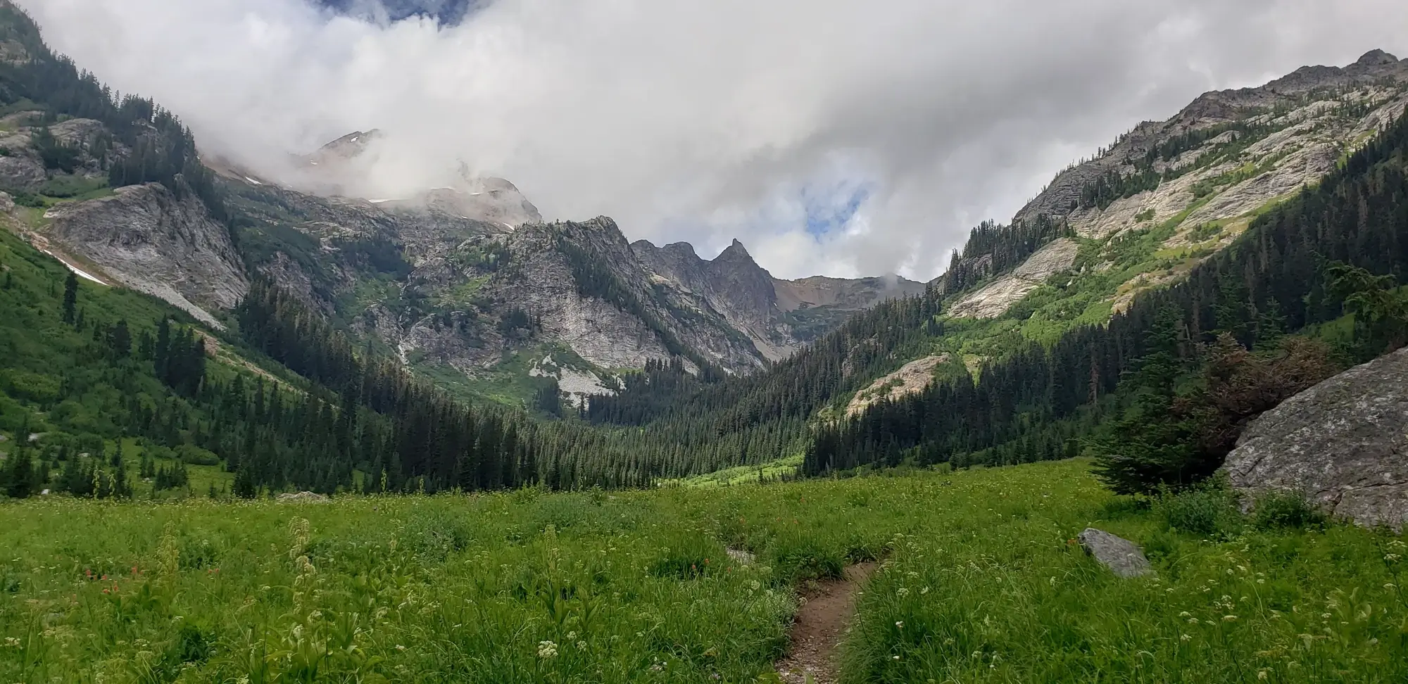
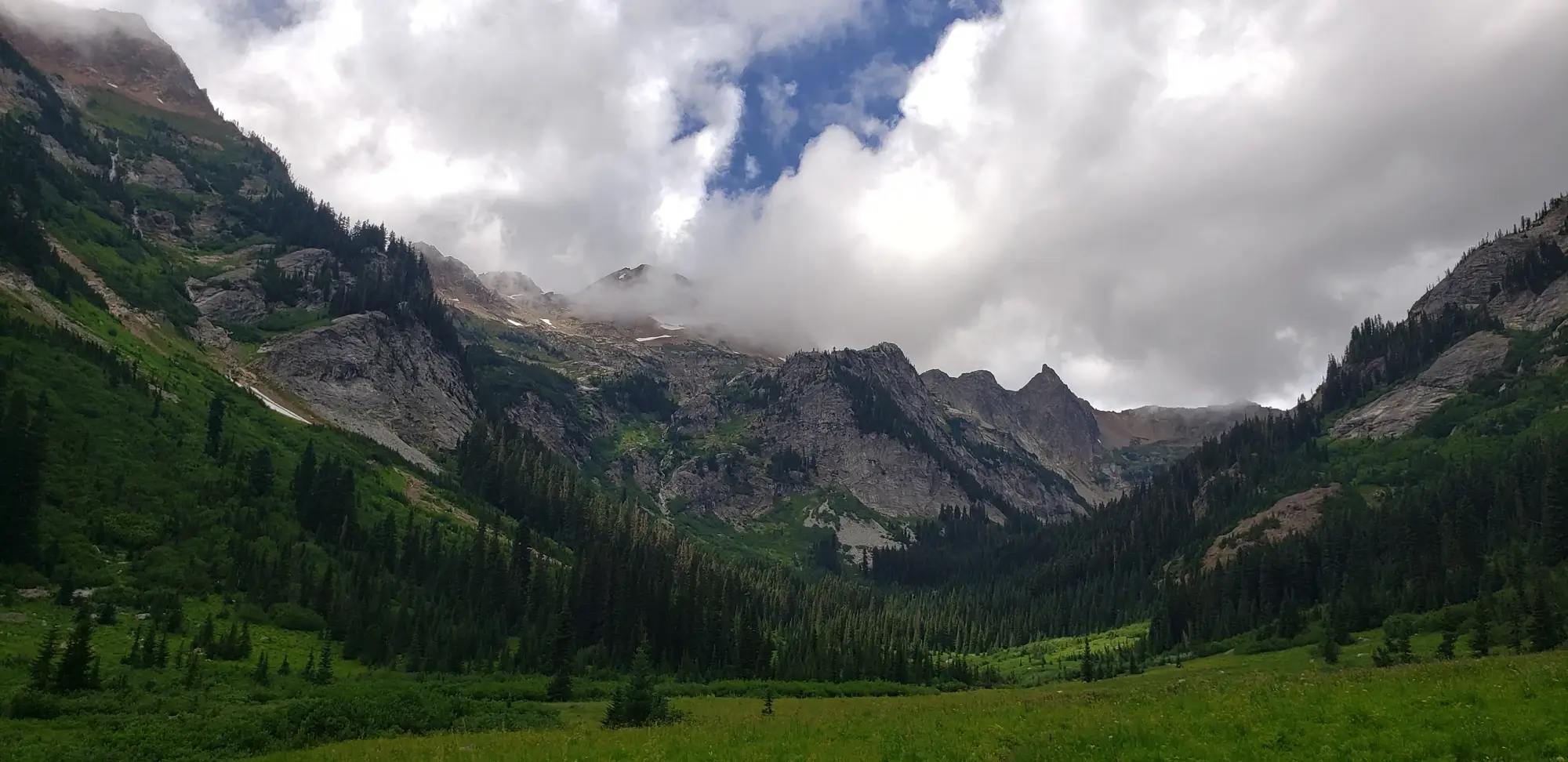
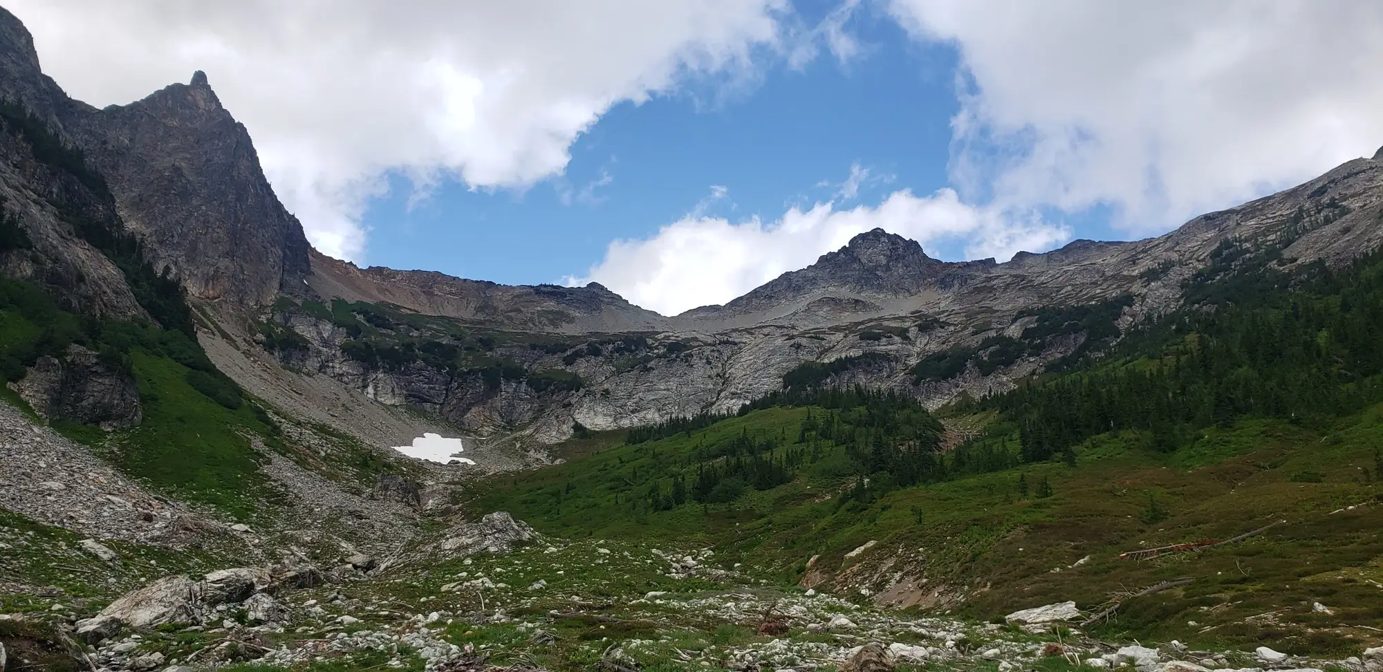
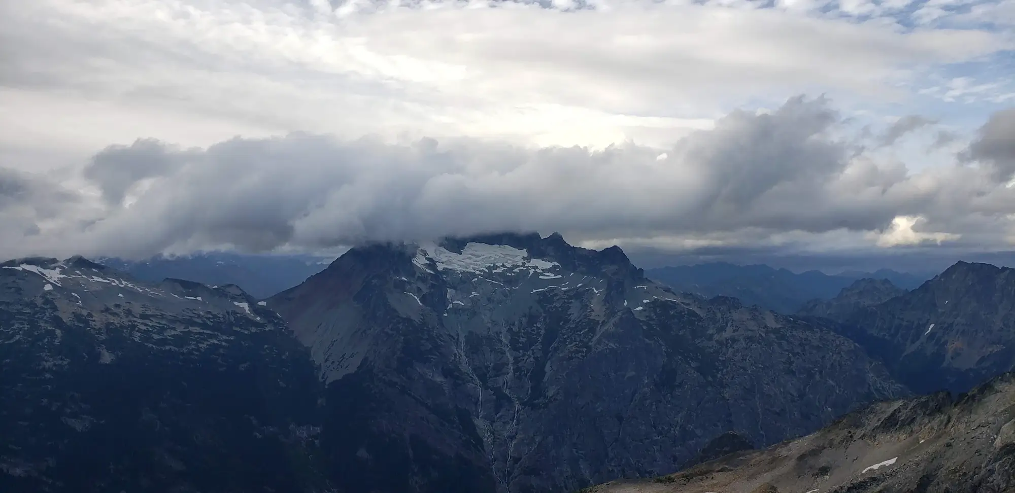
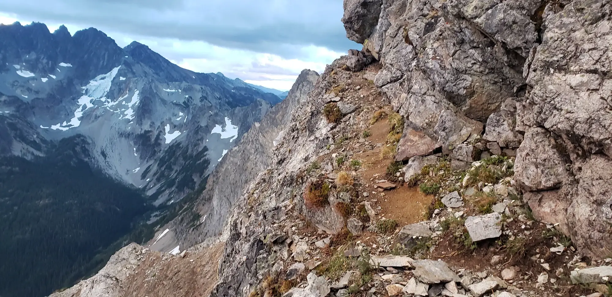
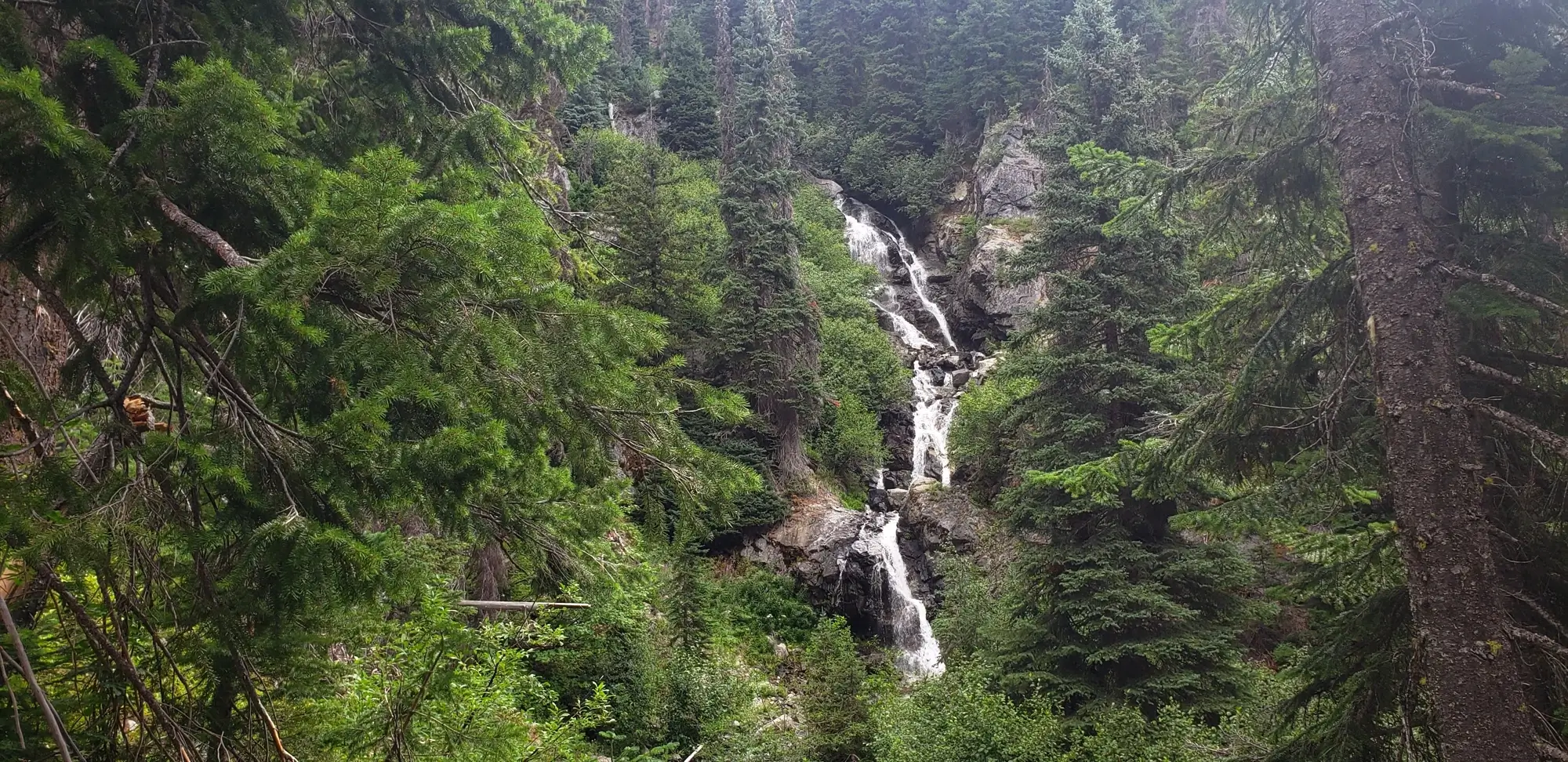
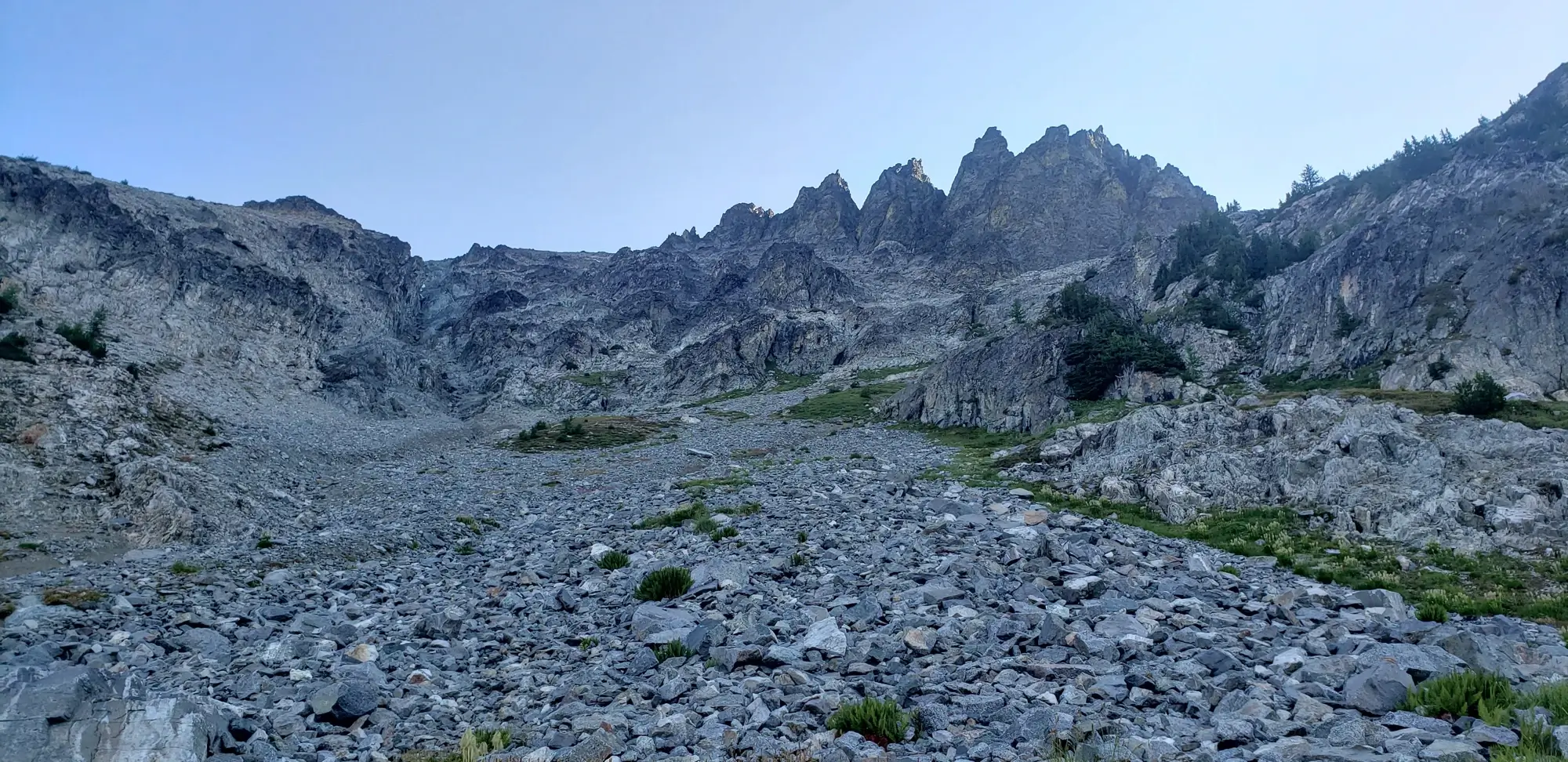
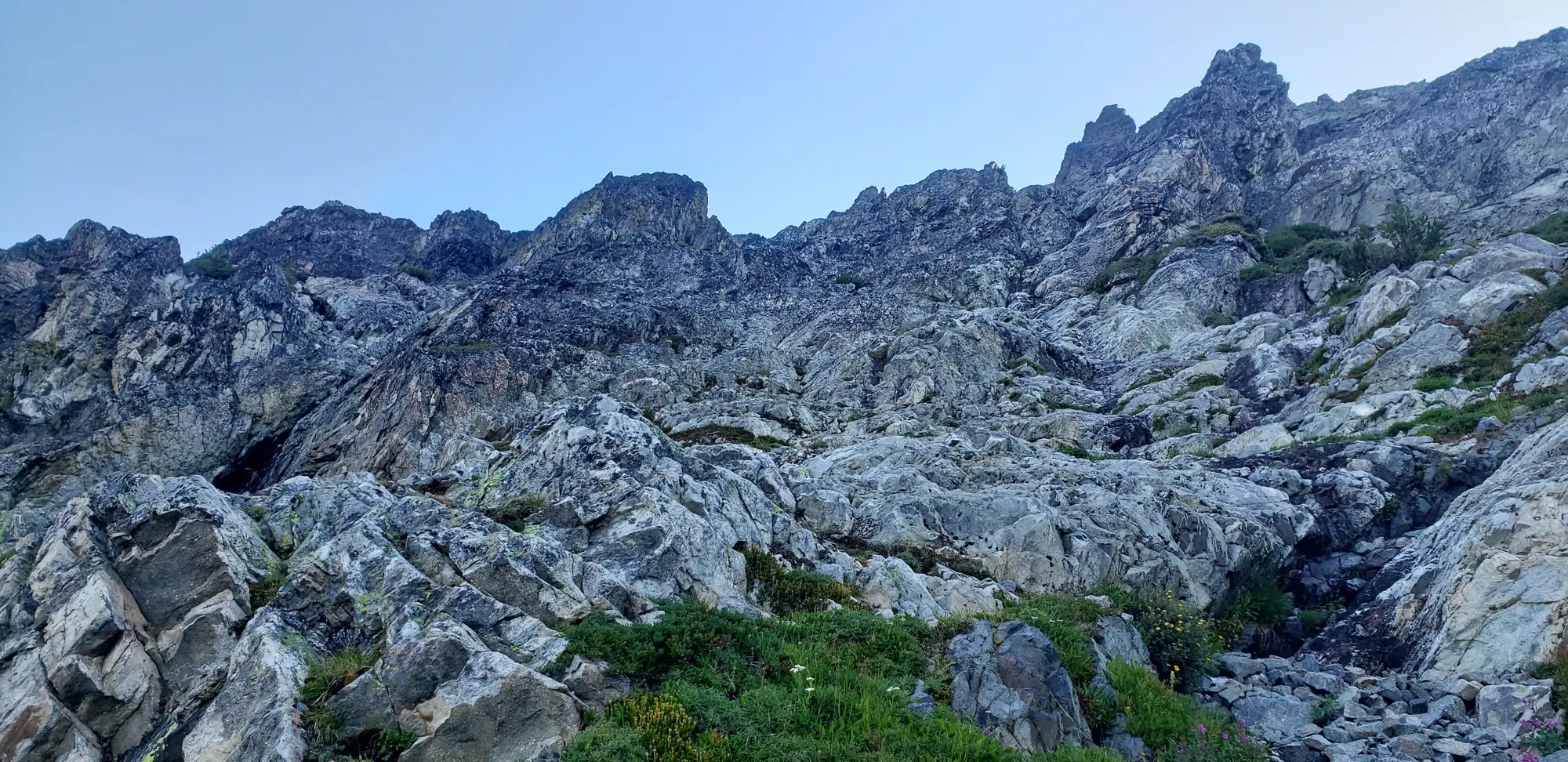
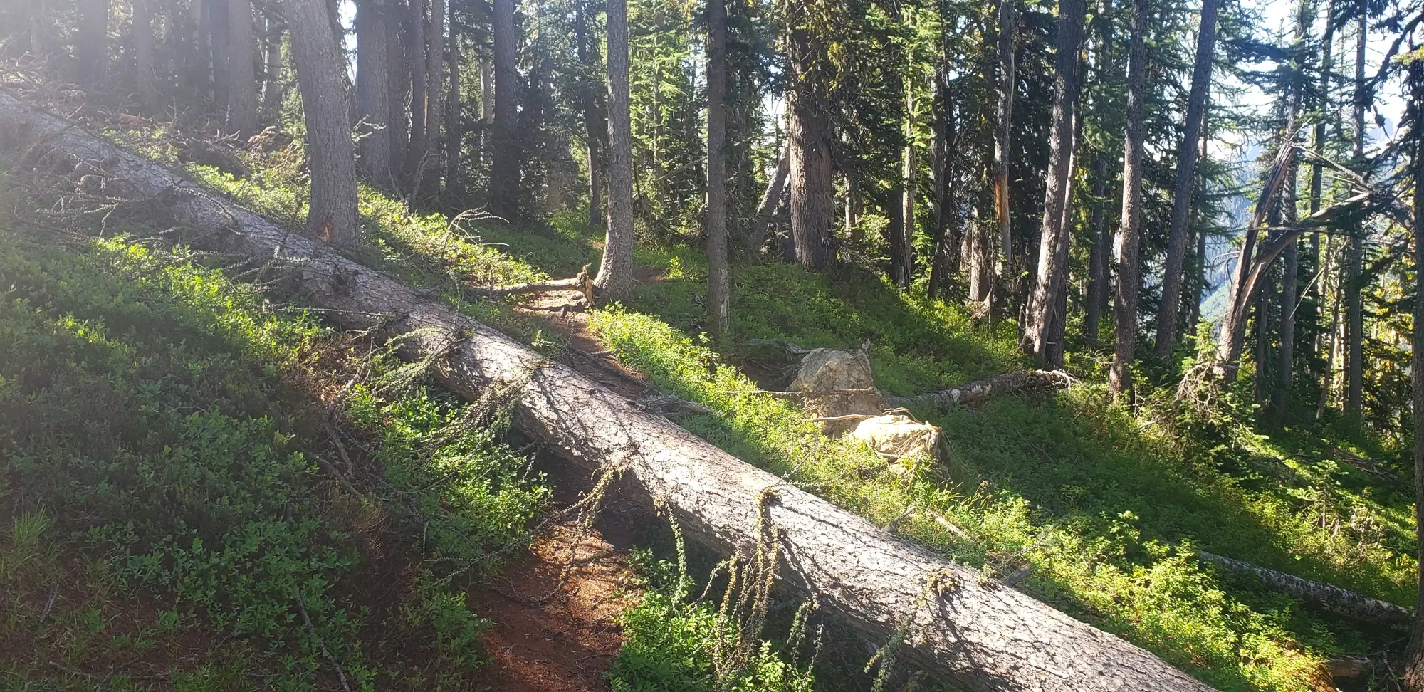
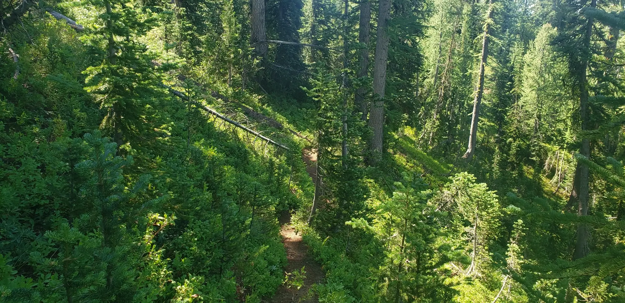
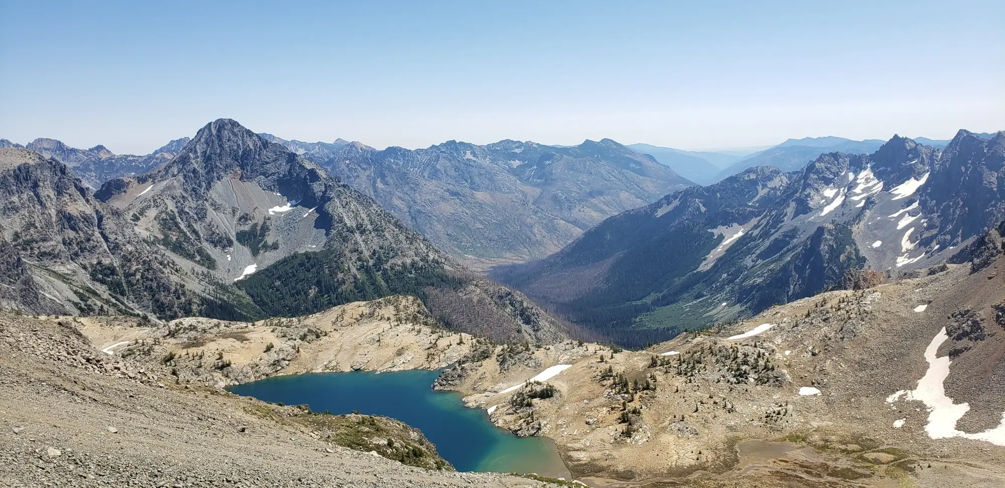
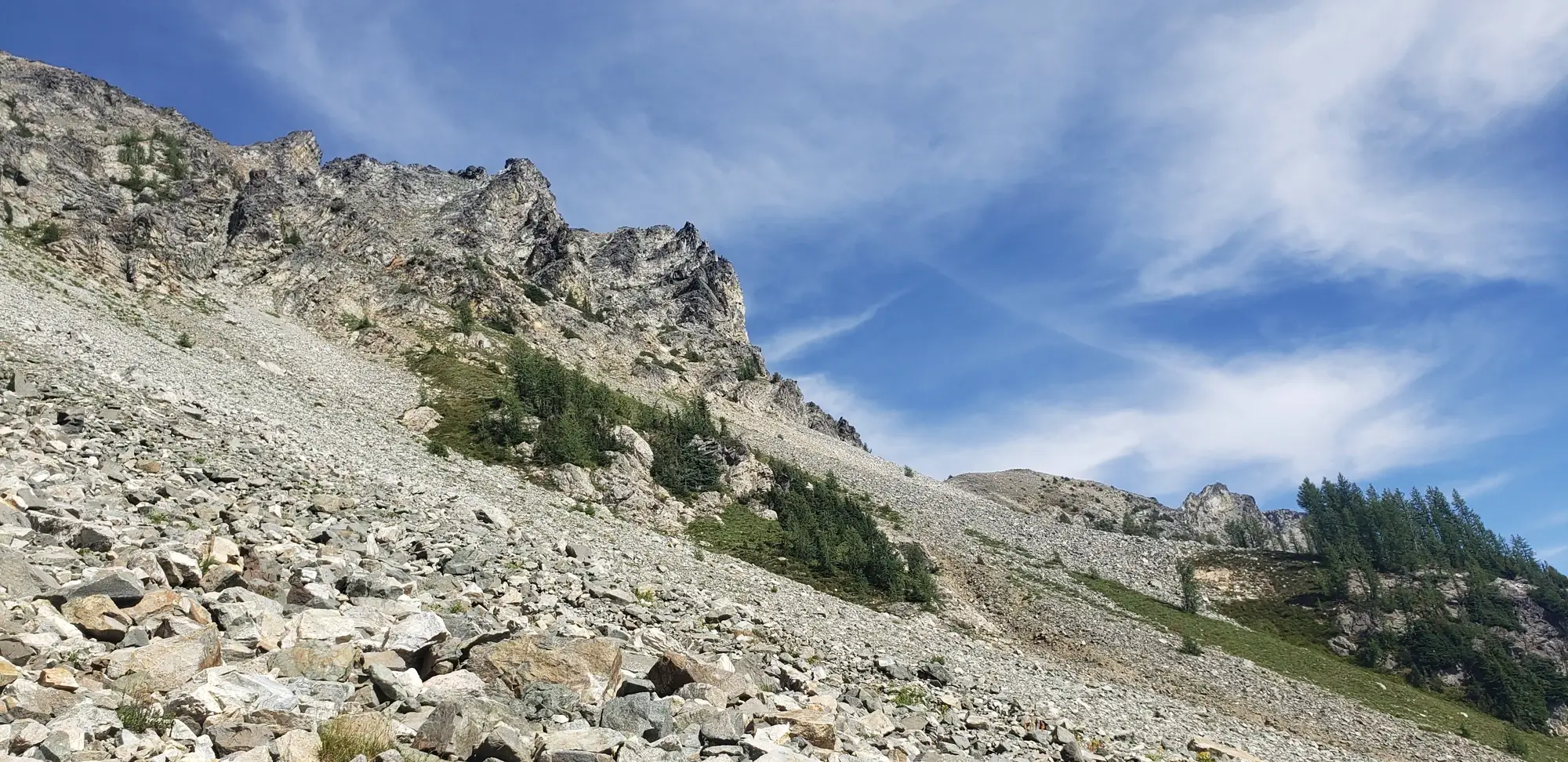
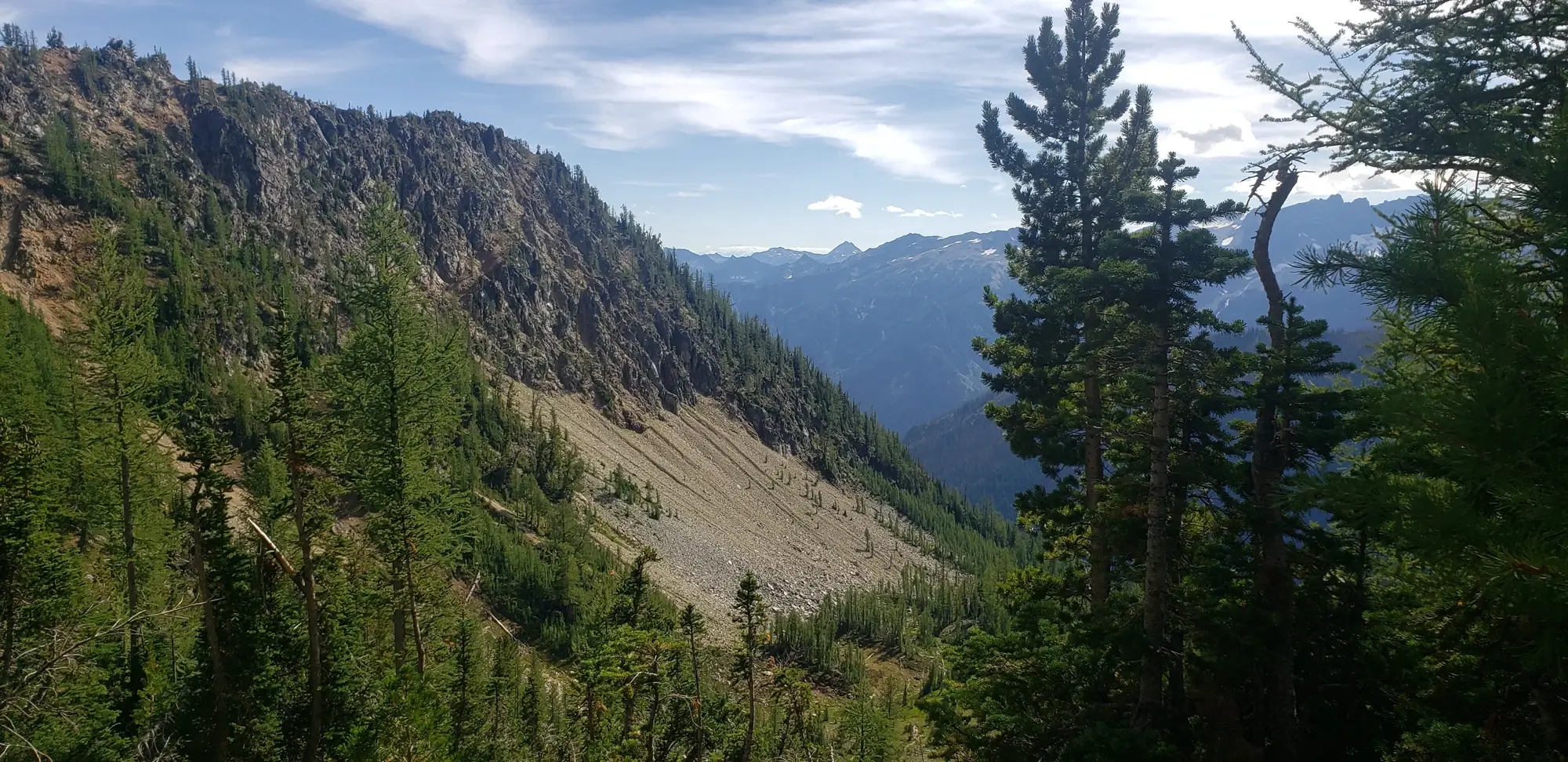
Making my way up the valley toward the climbing routes for Dumbbell and Greenwood was as simple as following the faint climbers' trails up and around the waterfalls and into the scree-filled basin below Dumbbell Mountain.
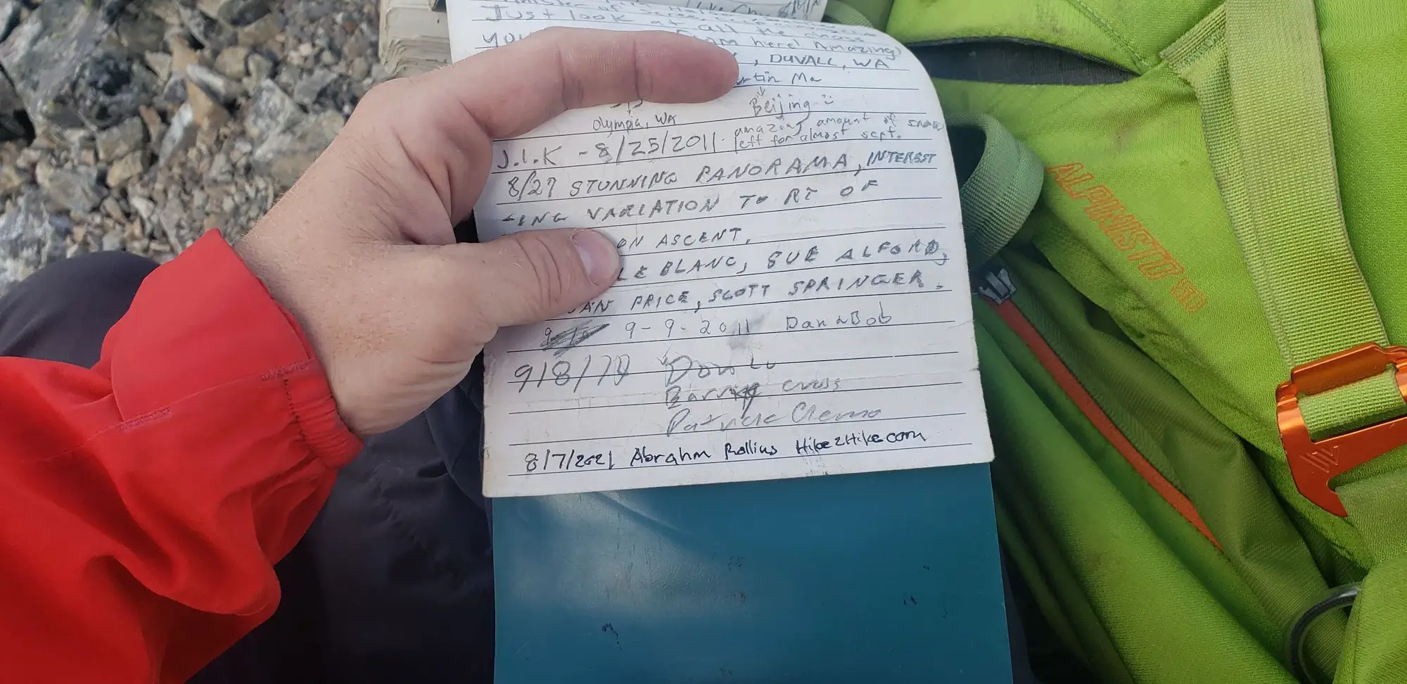
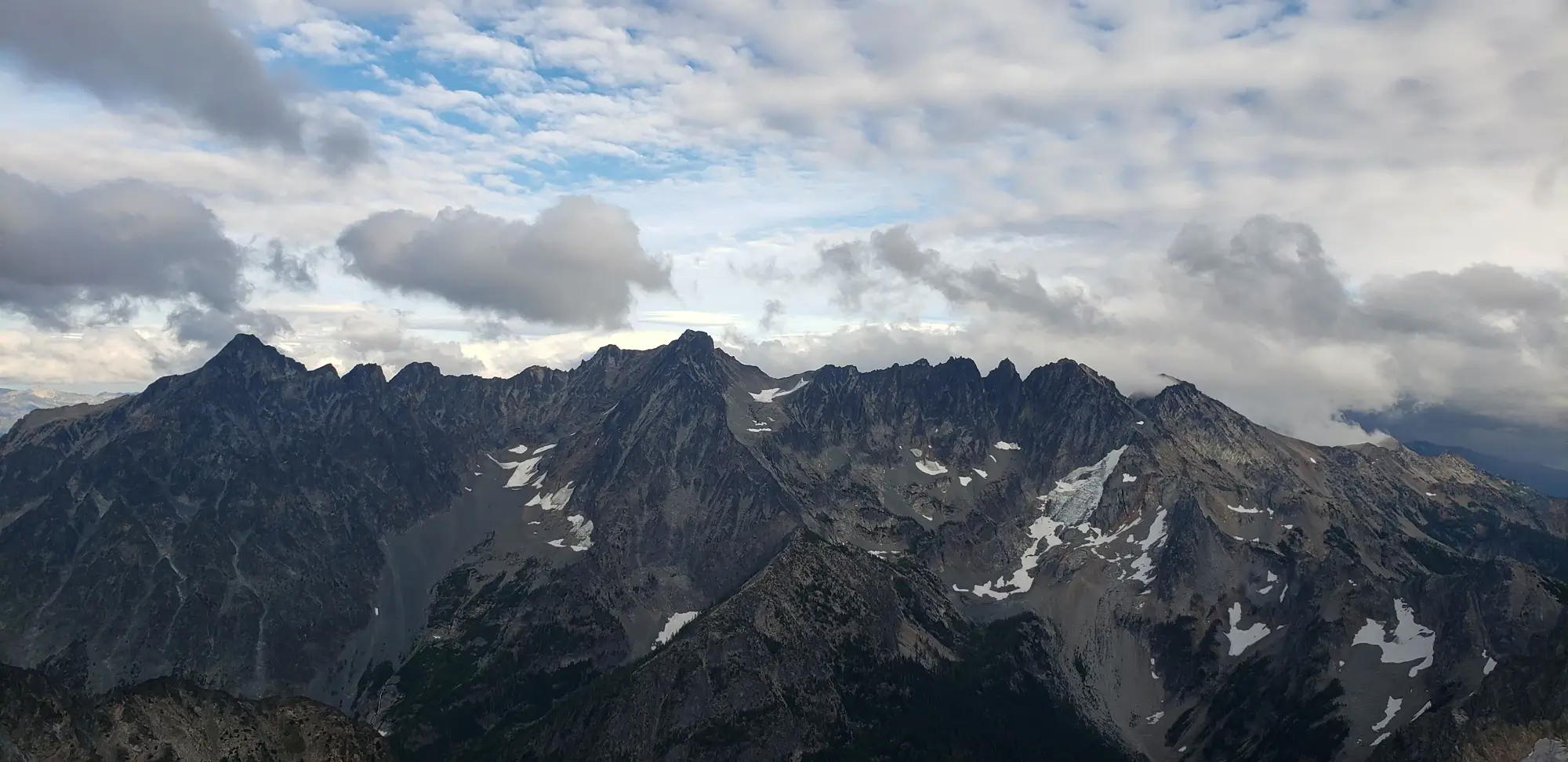
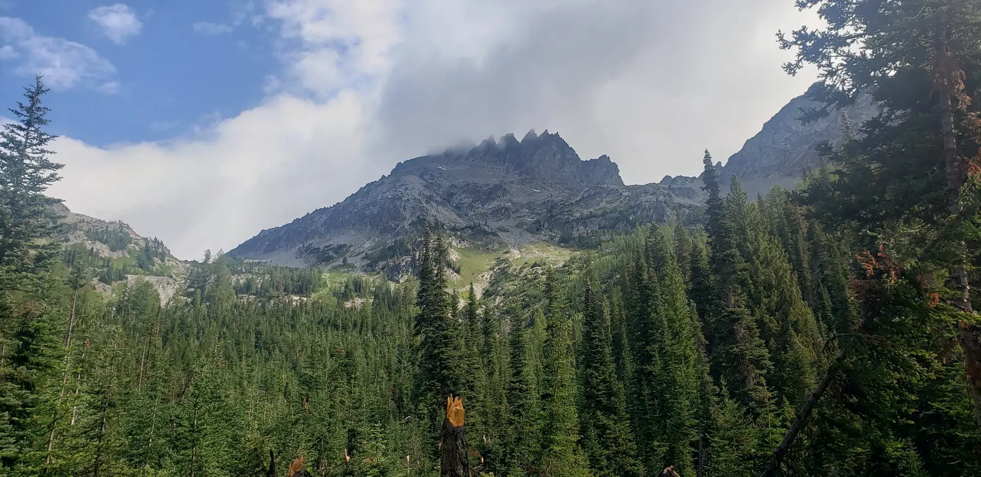
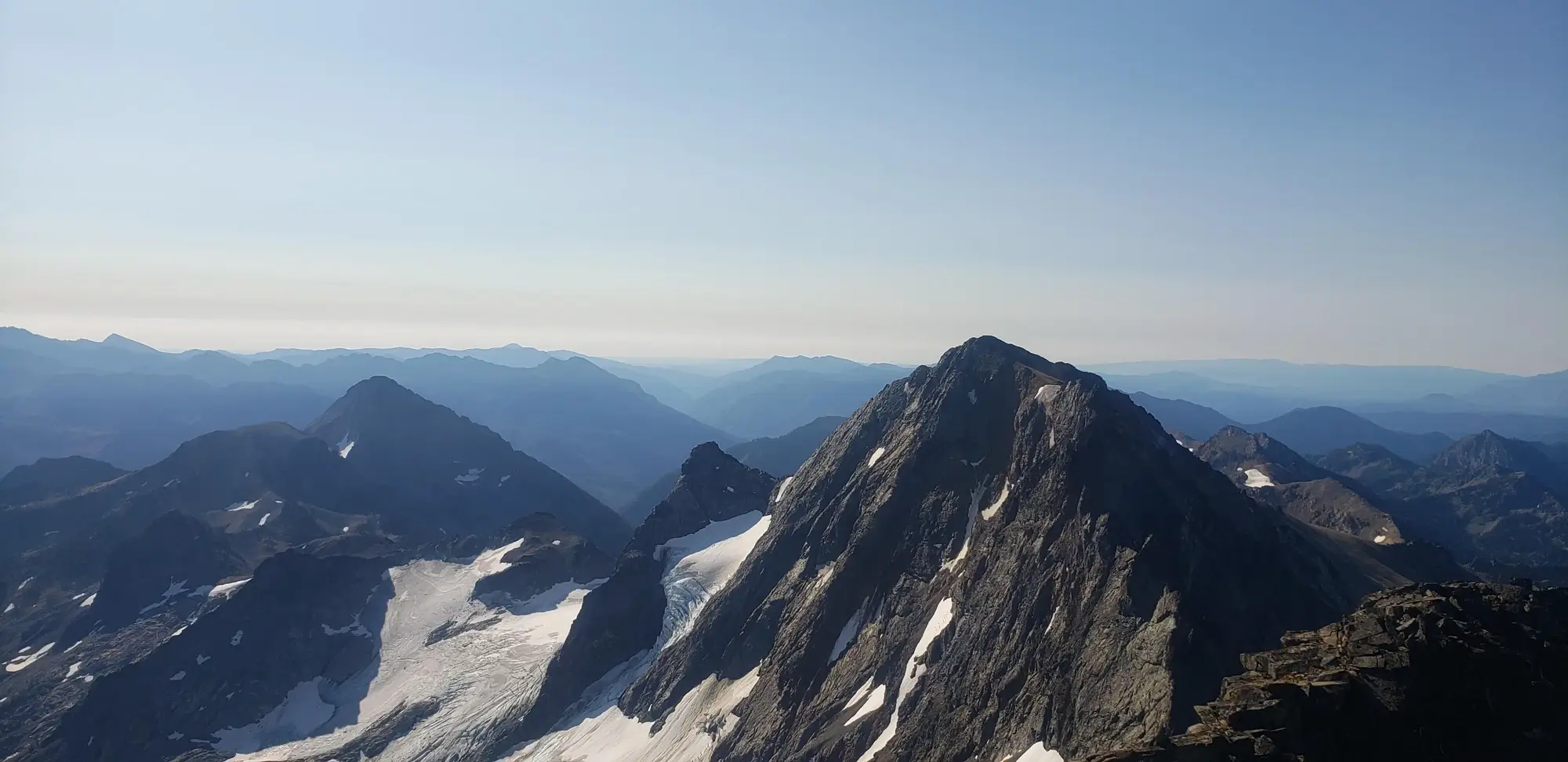
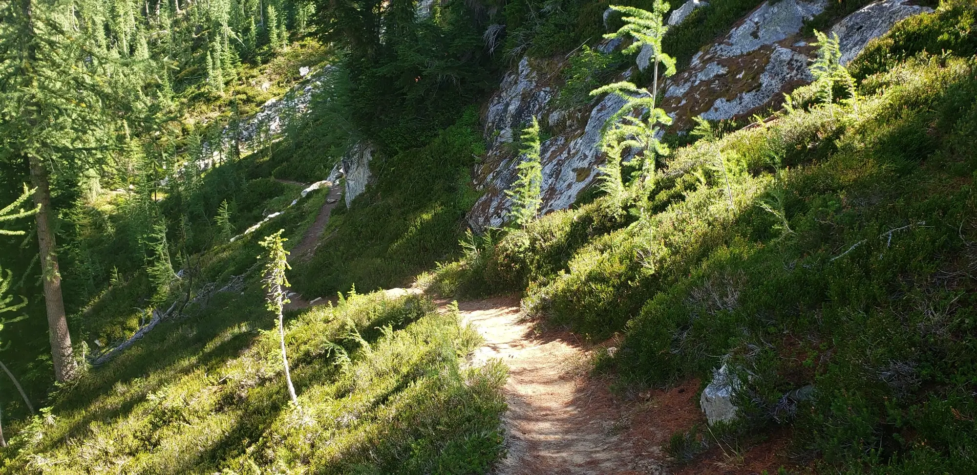
The climb for Dumbbell, the climber's left inside the first basin, is difficult to puzzle out from below. Multiple ascent spots appear usable as a scrambling route to the top of the mountain. After studying the options, I chose to work my way to the east and then up and back west over a few minor ledges and some low 3rd class scrambling. Once up onto the peak's west ridge, the remainder of the climb is a class 2-3 scramble that leads to the prominent summit ridge and the summit register for Dumbbell Mountain.
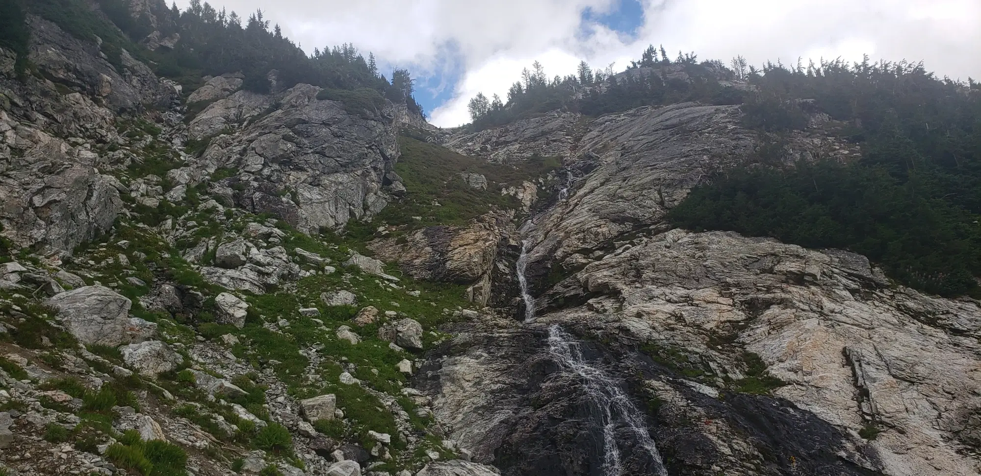
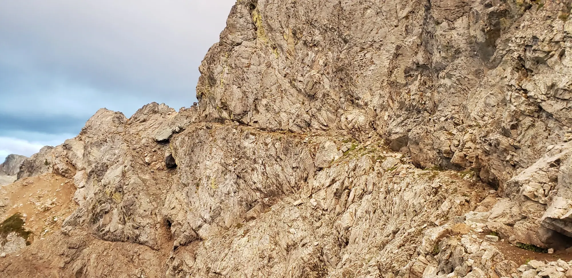
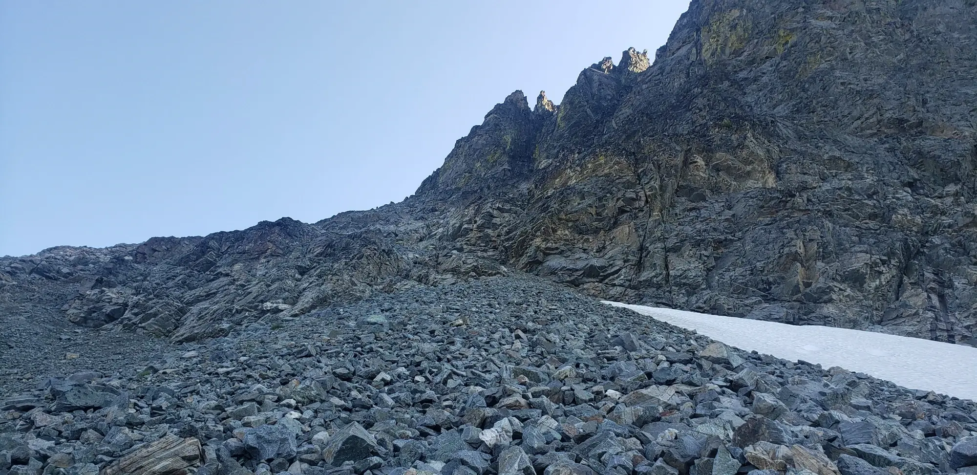
I was only able to enjoy the view for a quick moment. After waiting out the rain, if I wanted to summit Greenwood on the same day, I had very little time to trek over Greenwood Mountain and return to camp before dark. I made quick work of scrambling back down to the lower scree field to make my way to the Access ledge for Greenwood Mountain.
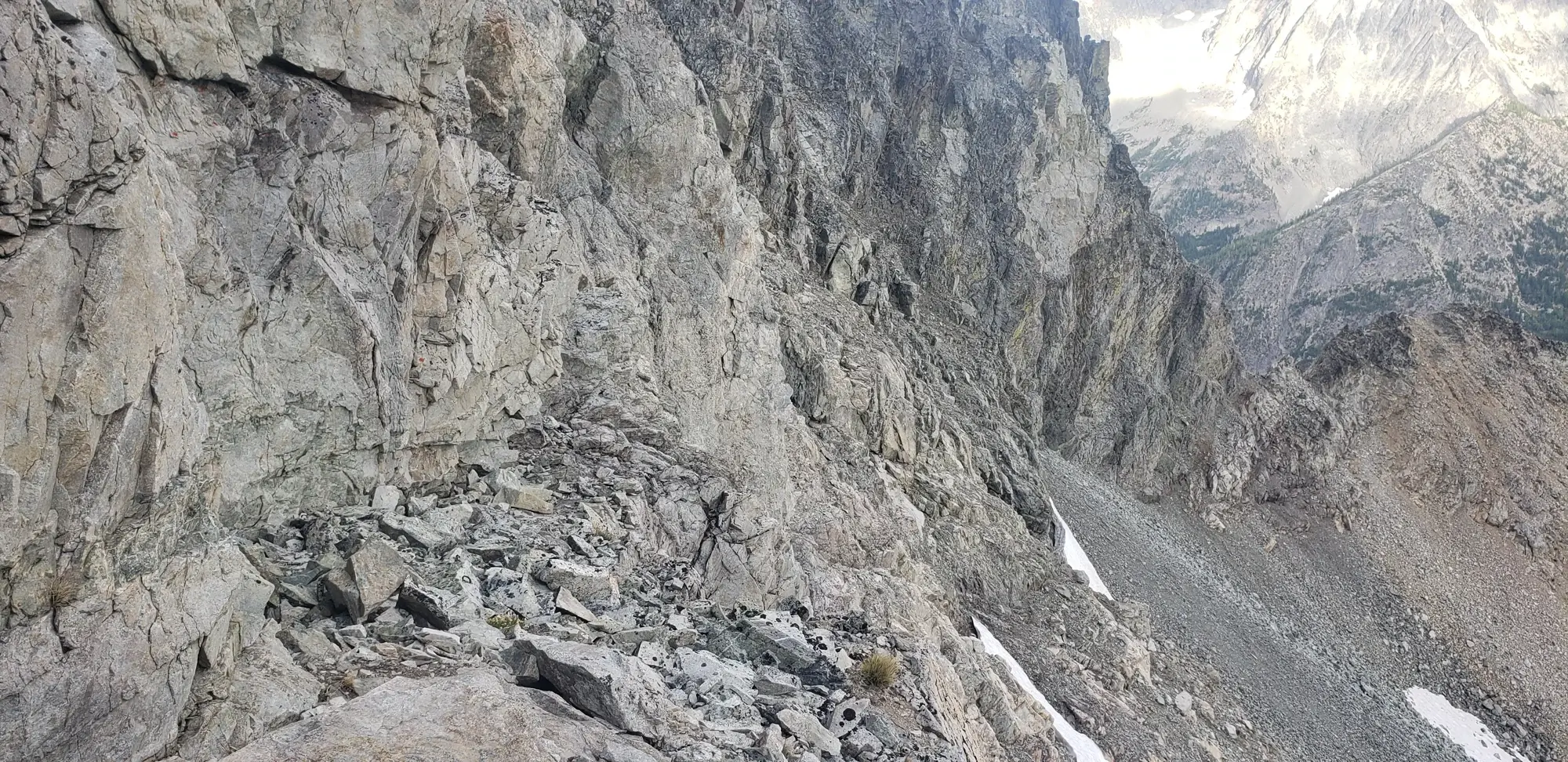
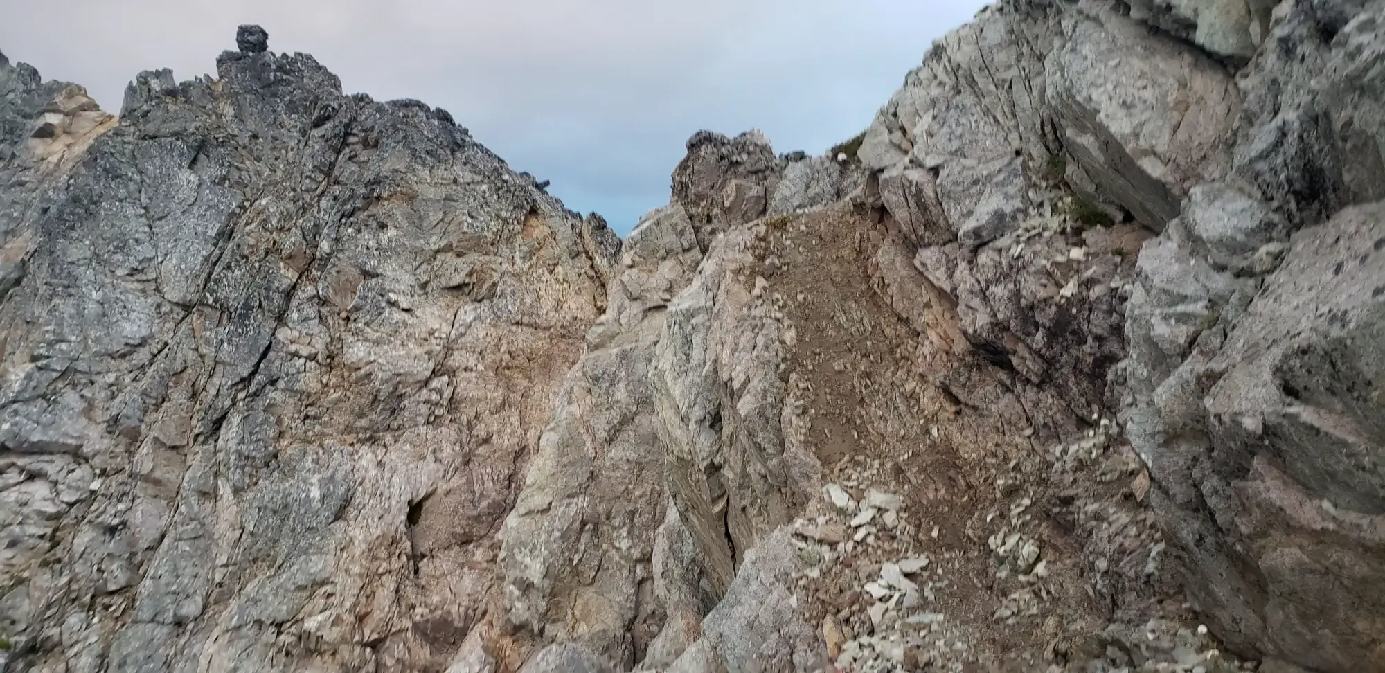
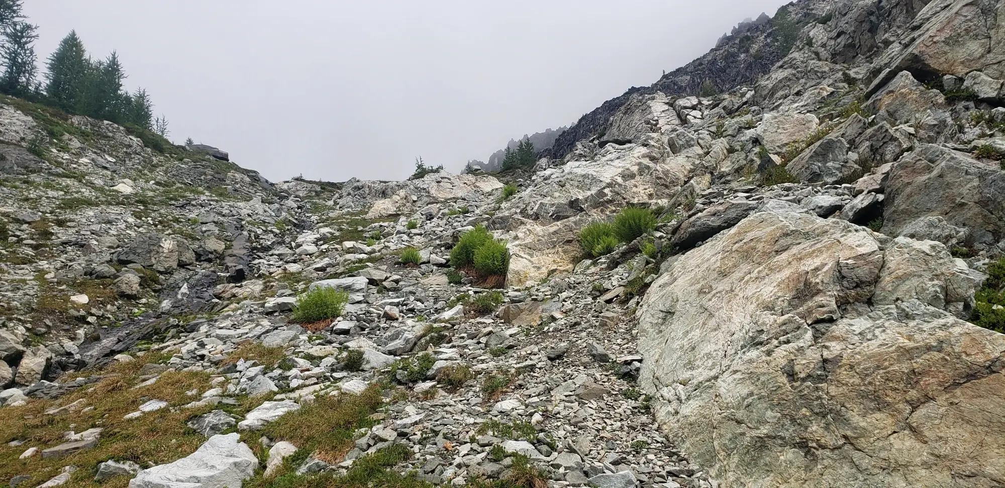
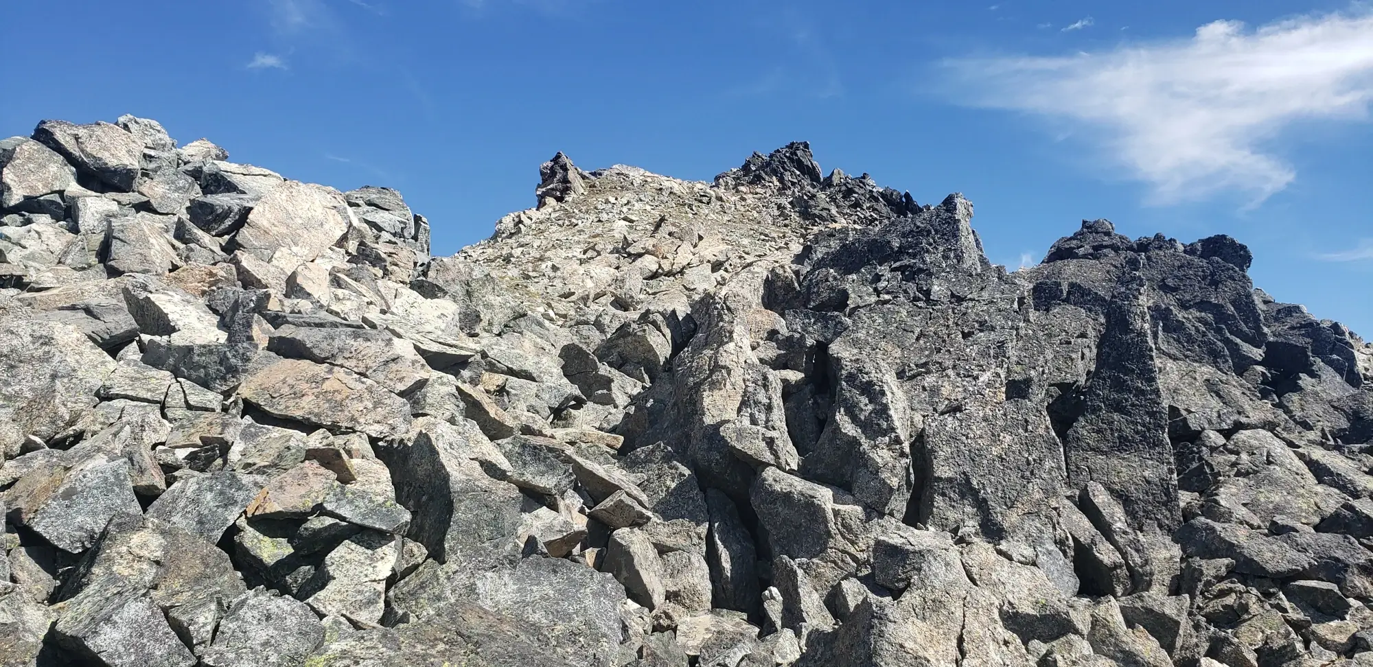
The access ledge is one of those places where you can read everything you want to about. But, until you get there and stare down at how it looks in real life, it is hard to imagine the thin grey line you will need to walk to make it over to Greenwood Mountain.
I think the description on < a href="https://www.summitpost.org/greenwood-mountain/858224" target="_blank" class="in-text-link"> Summit Post for Greenwood Mountain says it best:
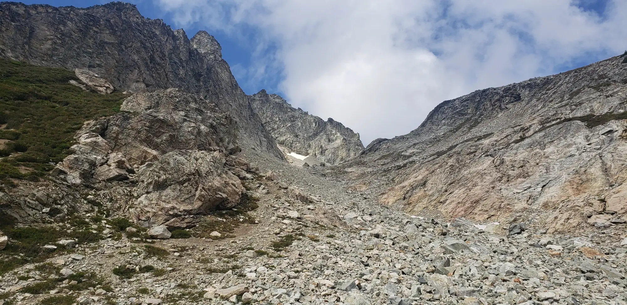
Once across that ledge, the remainder of the climb is a breeze. It is some walking up scree and talus to the top of the peak where, at least at the time, a water bottle holds the summit register.
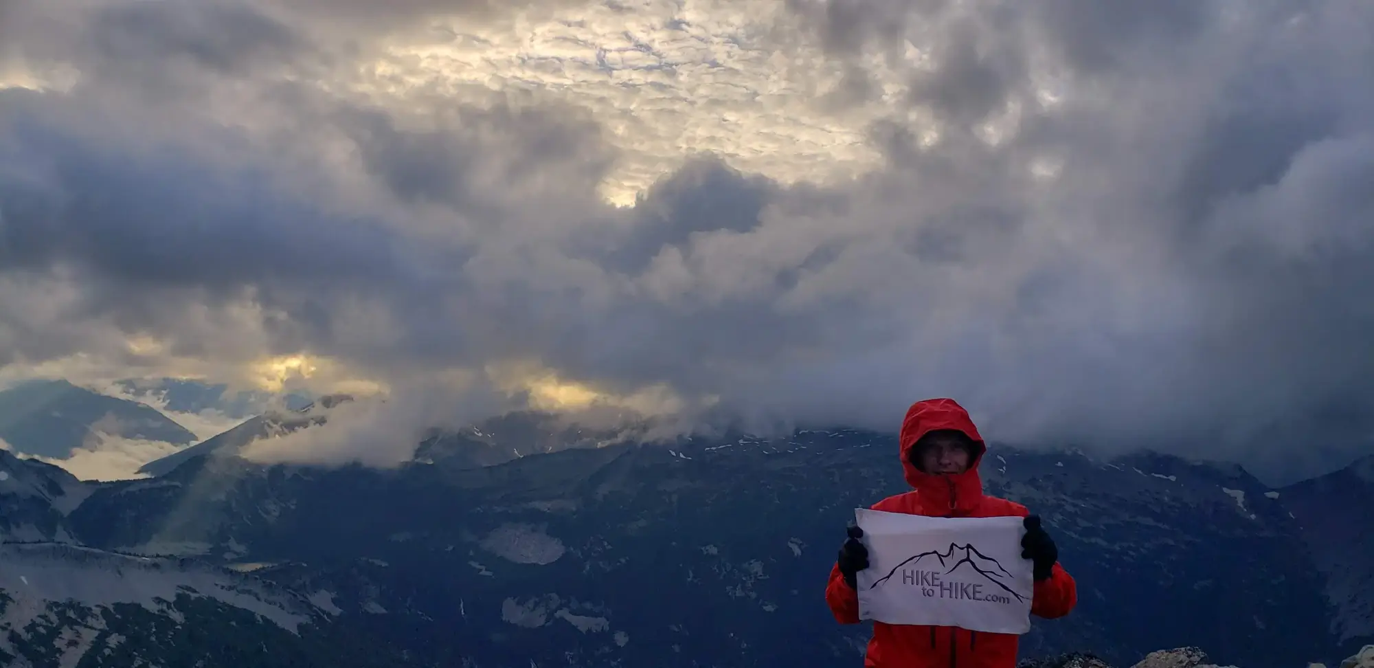
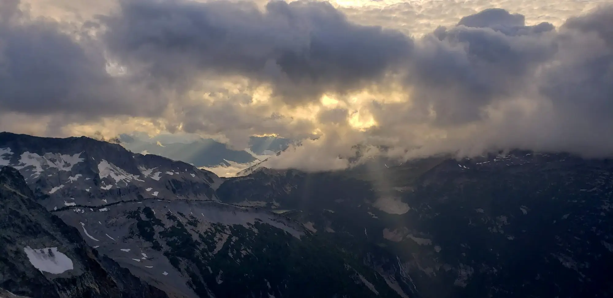
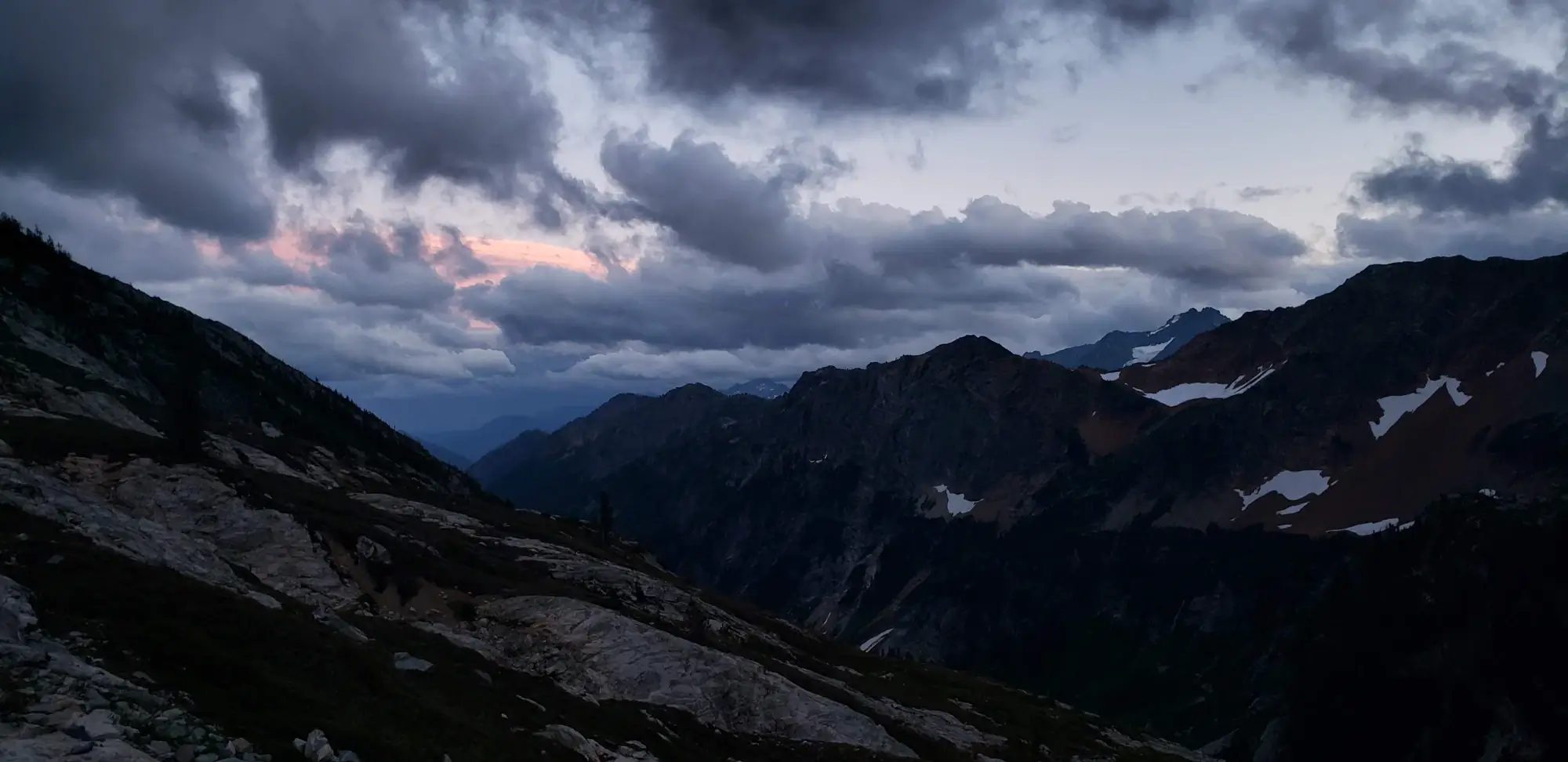
When I reached the Summit of Greenwood Mountain, the sun was about to fall behind the horizon, the wind was picking up, and some ominous clouds were hanging overhead. With the prospect of crossing back over the ledge in the dark looming over me, I chose to snap several quick photos and run back to camp as fast as possible.
I made it down to Spider Meadow just as the sun dropped and strolled back to camp, where I could have a meal and take a break.
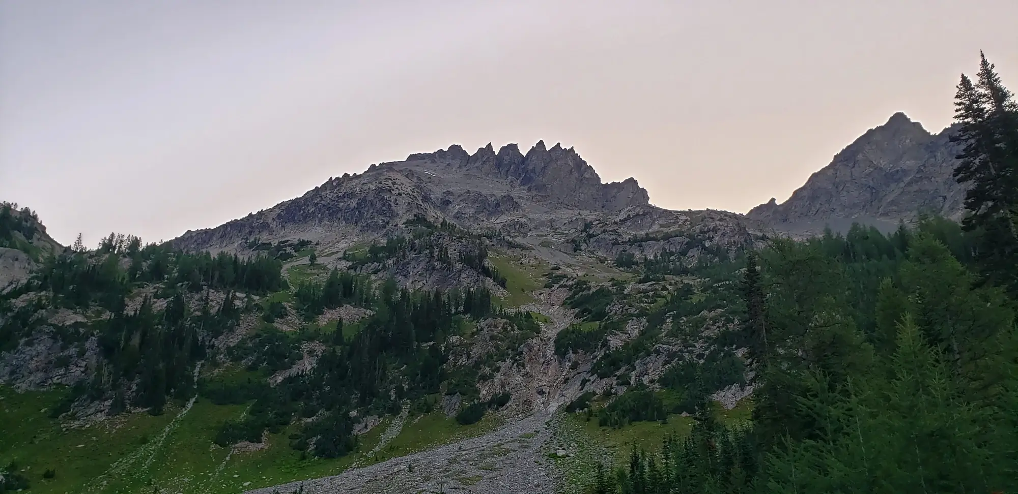
I planned to be less ambitious for day two of my trip. I planned to make it up into Leroy Basin using the climber's trail, pitch my tent, and then make an attempt at Mount Fernow.
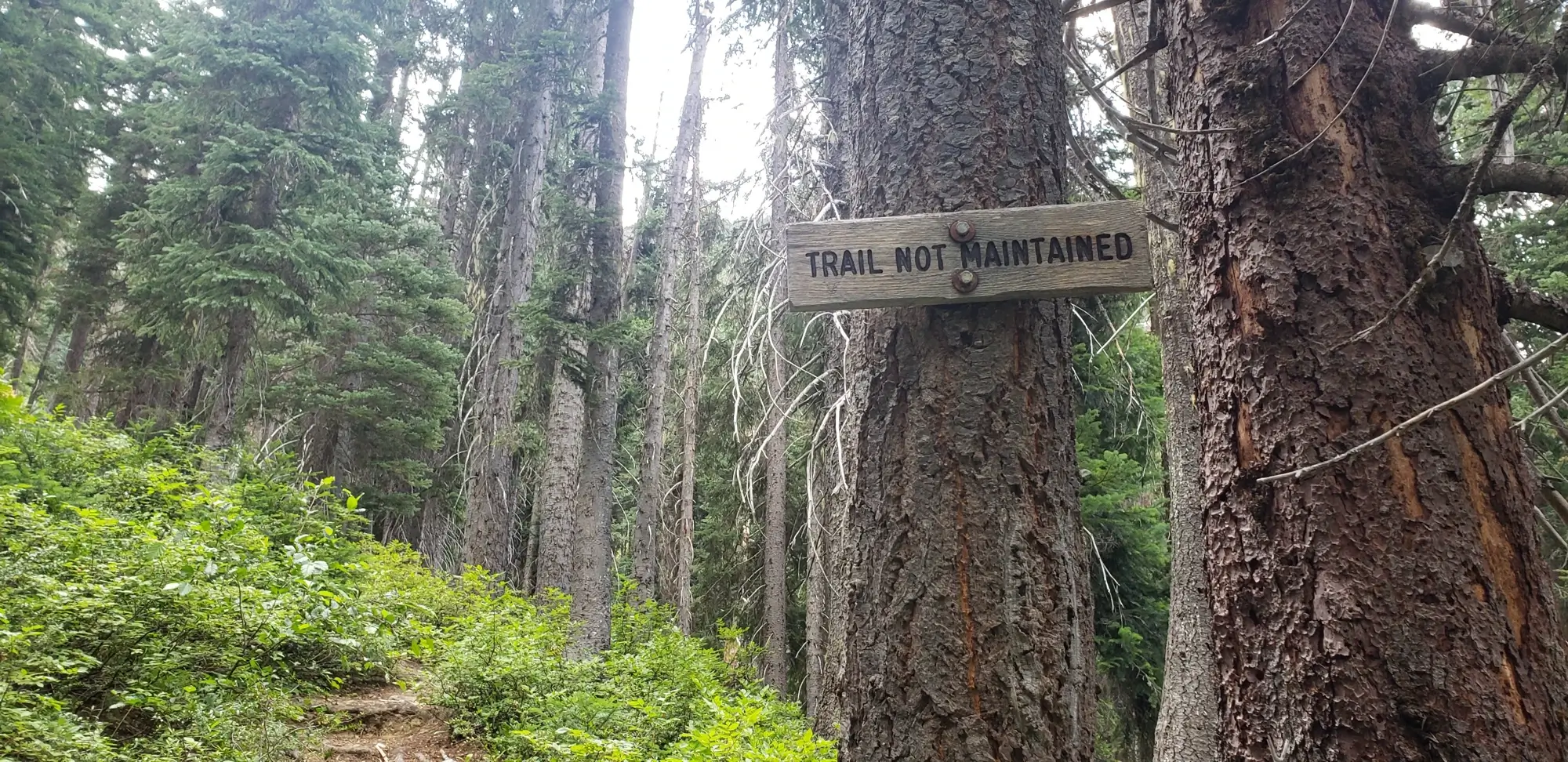
I woke up around 9 in the morning, packed up my tent, and prepped myself for the day. I then took a 40-minute walk back to the trail junction next to Leroy Creek. Despite Leroy Basin being an unmaintained trail, it is easy to spot and well-labeled.
The trail into the camping area is short, steep, and easy to follow. When I arrived in the basin, the only other group there was packing up and heading back out. I had the entire basin to myself, and now that I went up there on a summer weekend to climb South Spectacle Butte, I realize how lucky I was to have this entire area to myself for a day.
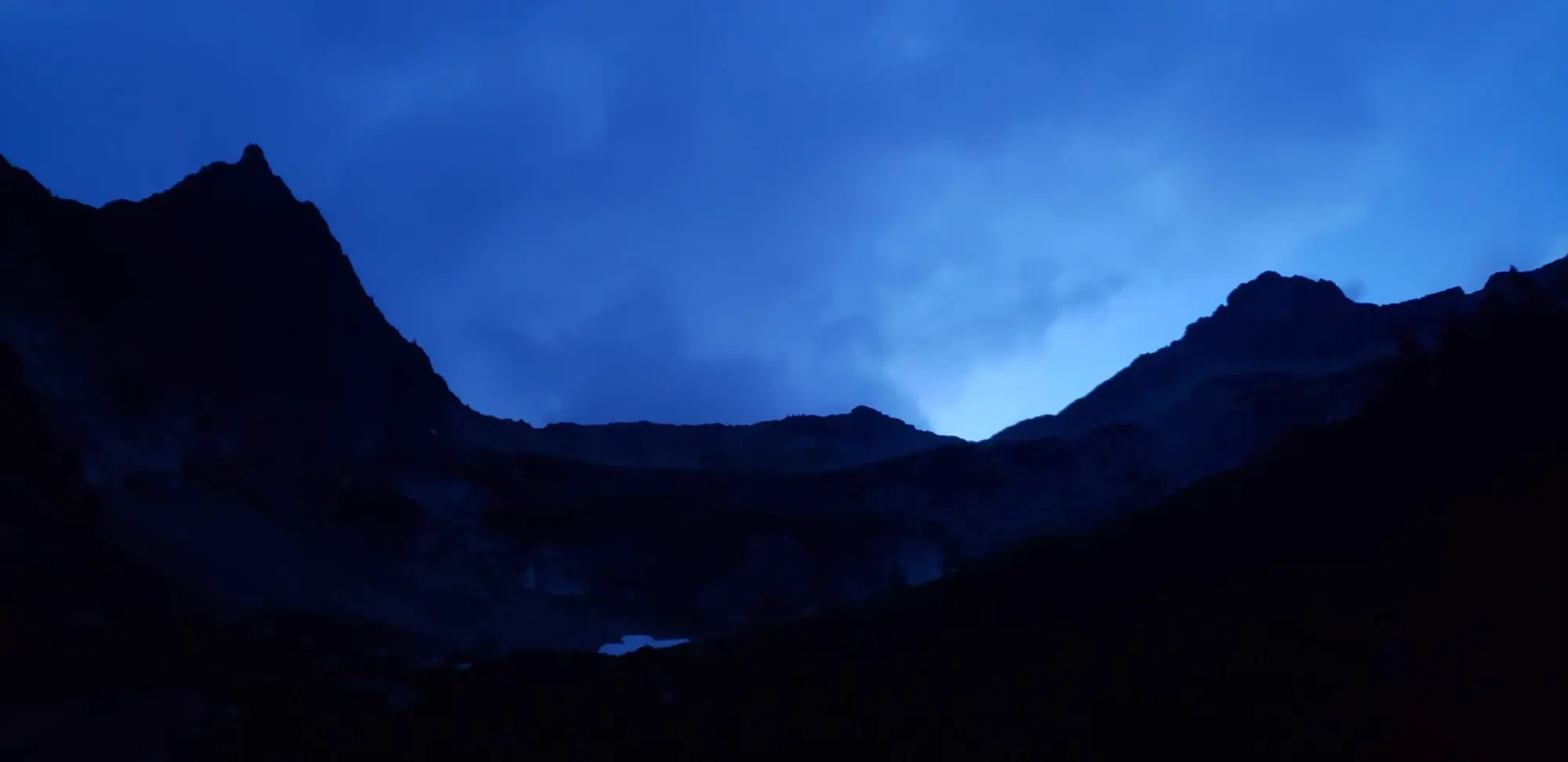
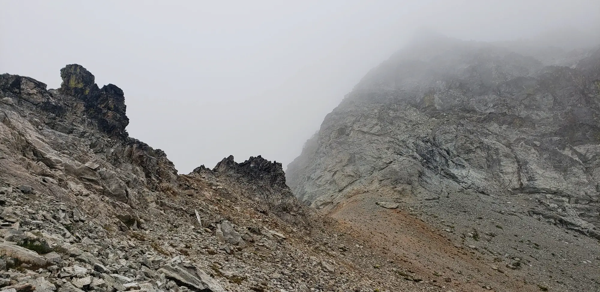
My attempt at Mount Fernow, however, was not to be. I made it to the small saddle where you can descend and wrap around the bottom of Mount Fernow to start the climb. But, just as I arrived, a thick fog obscured the entire route below me.
Not wanting to tempt fate, I decided it was a better idea to pull back and return to camp. I also wanted to climb 7 Finger Jack on the same day to leave enough time for Mount Maude and South Spectacle Butte the next day. But alas, the fog was also obscuring 7 Finger Jack's summit.
With the day feeling like it was mostly a loss, I spent my time wandering the basin, drinking some hot cider, and resting my legs for the following day.
To give myself the best chance possible to make three summits for the day, I woke up around 6 am. I made a quick breakfast and then threw on my pack to start the ascent of 7 Finger Jack.
I originally planned to make a light ascent of the following two peaks, then return to Leroy Basin, pack up my camp, and hike out. However, at this point, I decided it would be a better choice to take all my things and then use the Carne Mountain High Route to make my way back to the car.
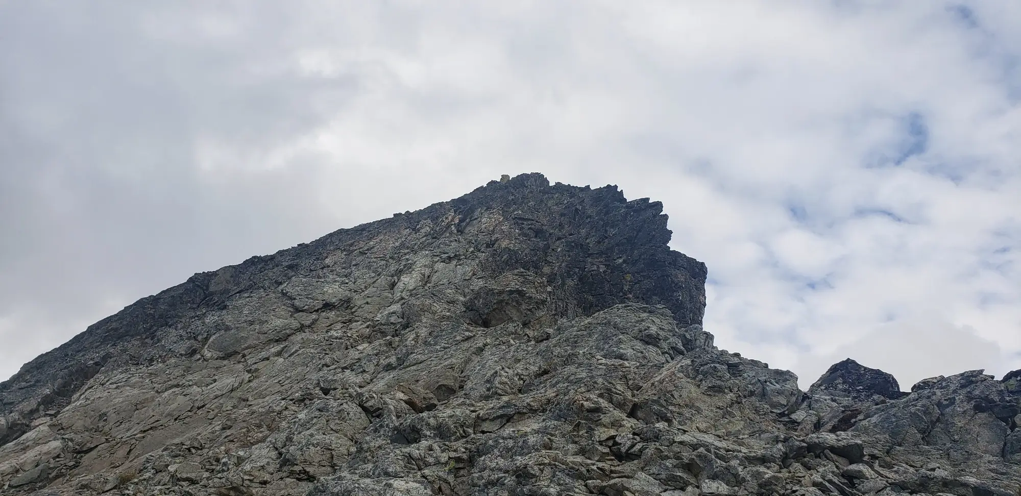
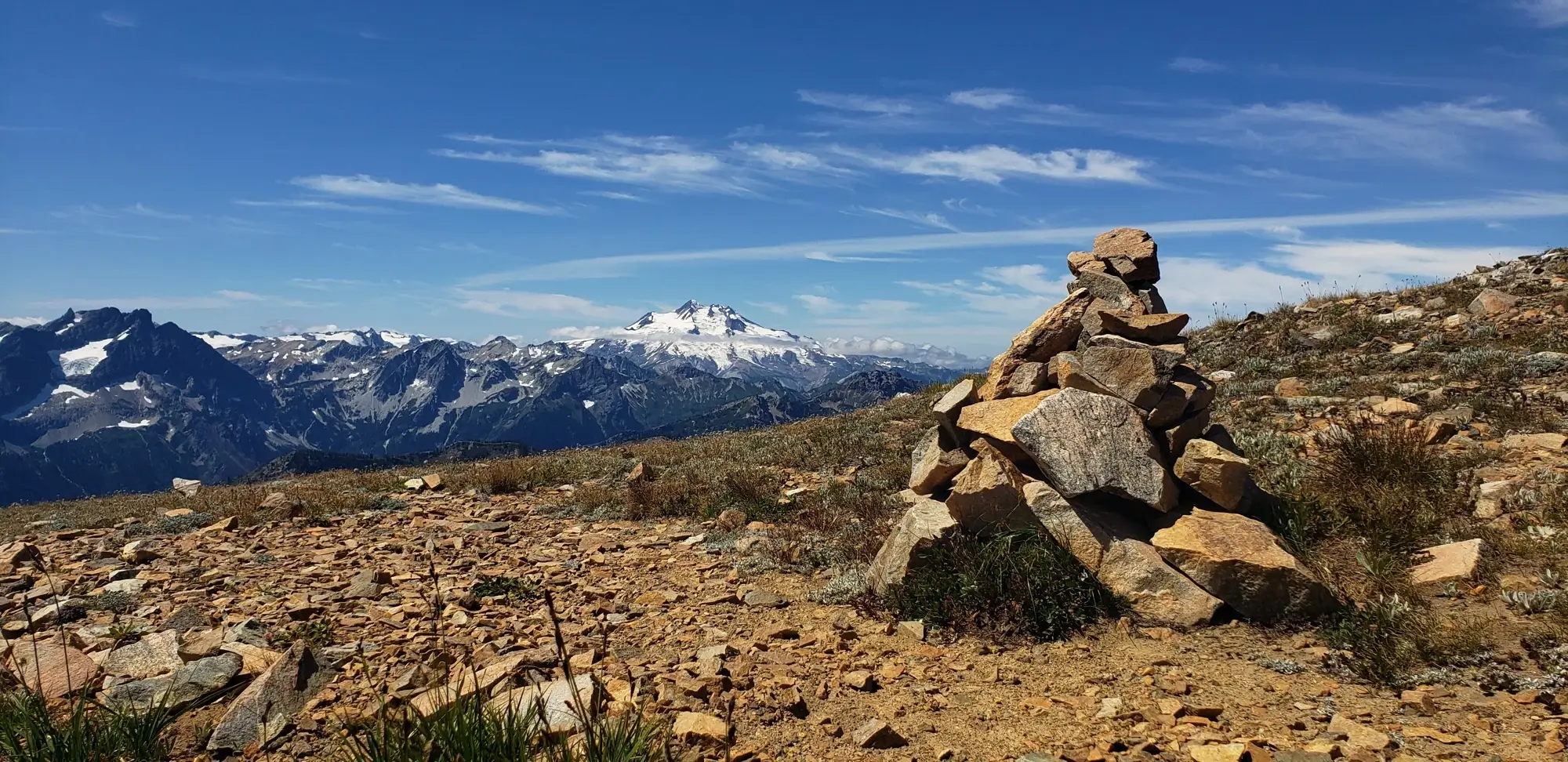
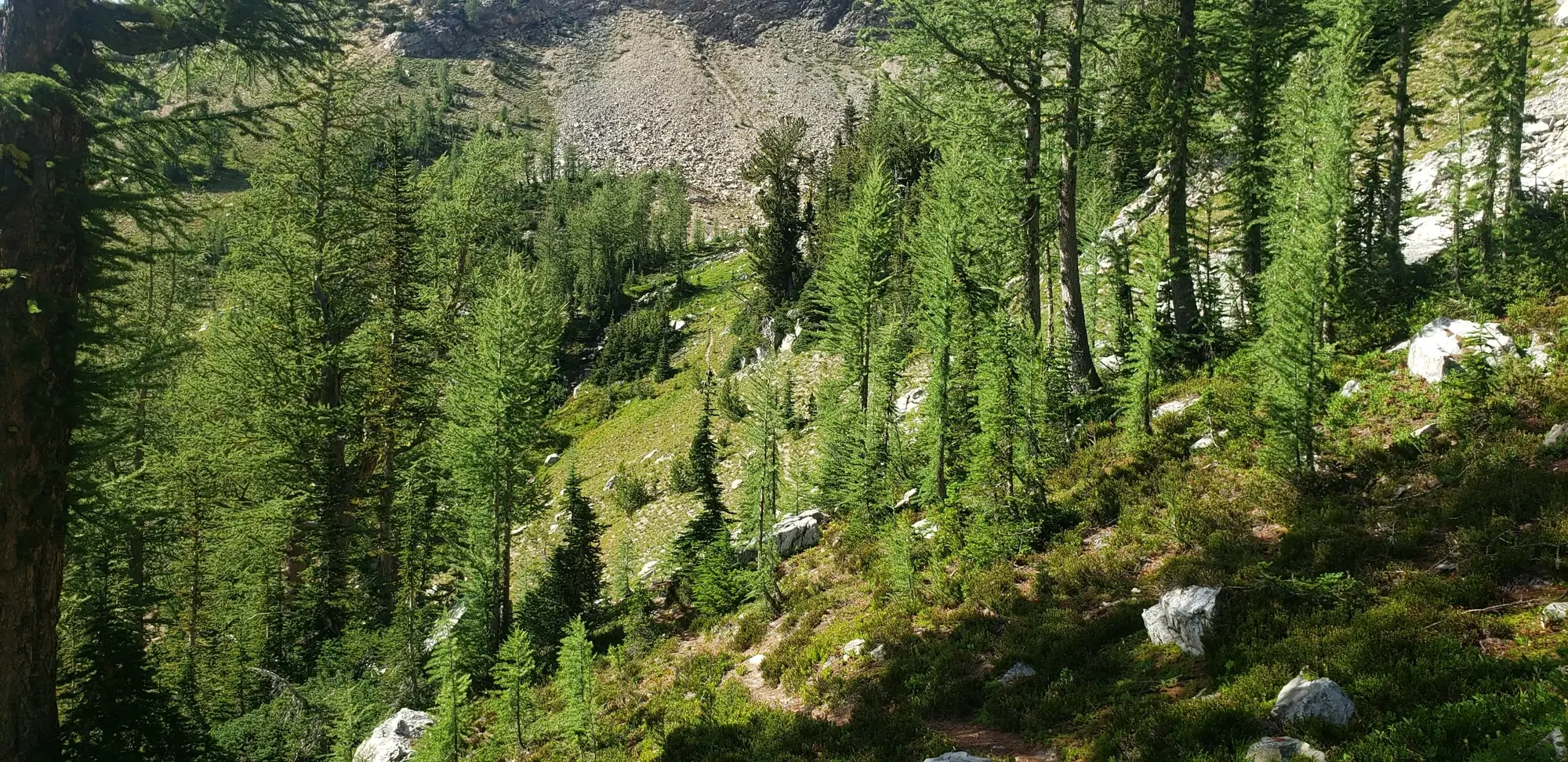
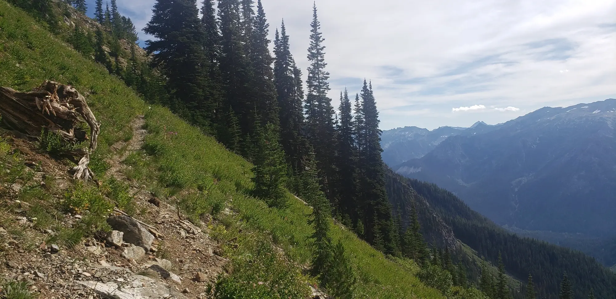
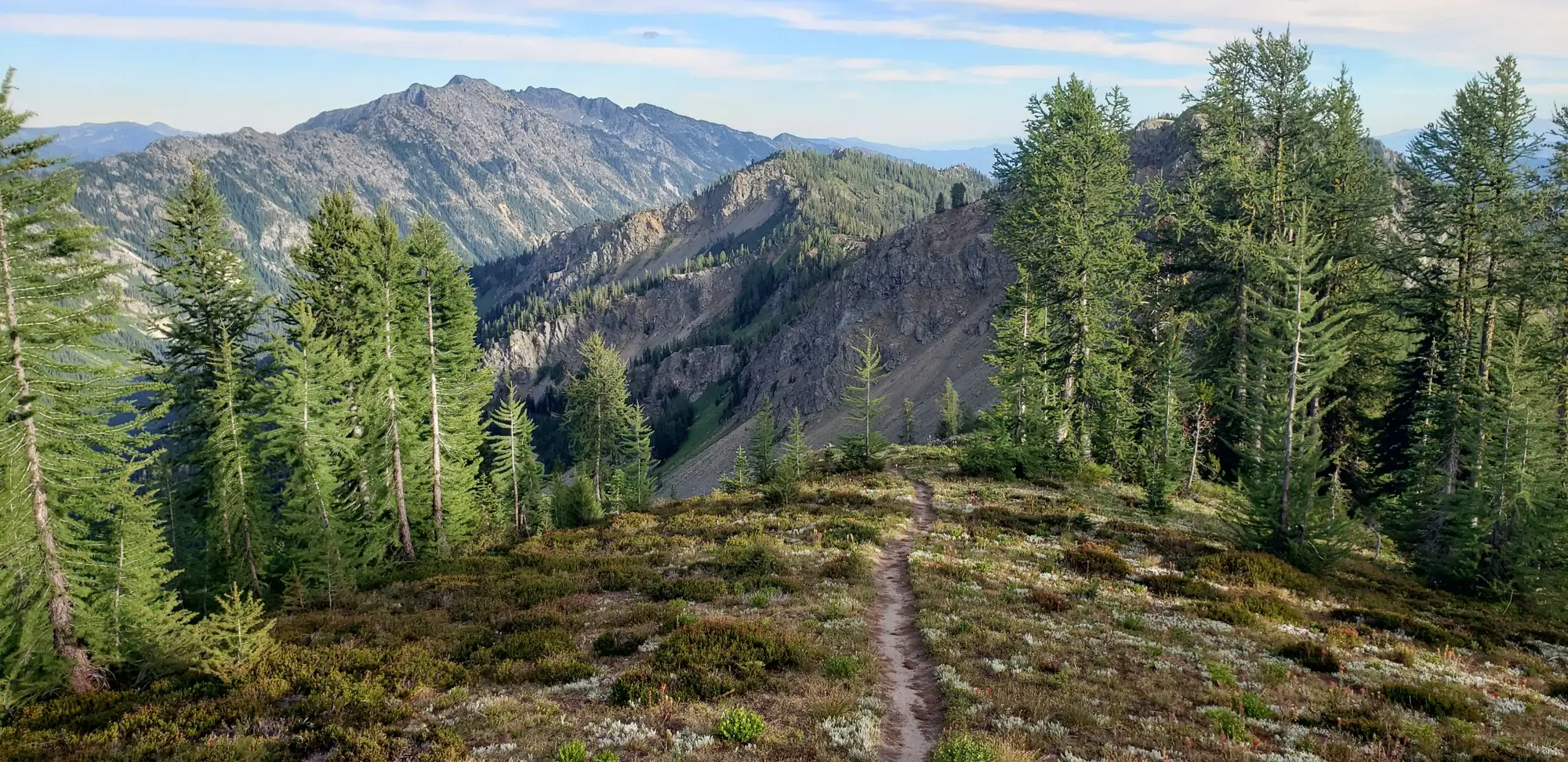
Just after leaving the basin following the Leroy High Route, there is a faint climbers trail near one of the creek crossings. If you are attempting the peak, keep a close eye out, as it is easy to walk right past. After passing the climber's trail twice and finally locating it, I made my way up around 200 ft and then dropped my pack to make a speedy ascent. The climb of 7 Finger Jack is relatively easy to puzzle out. There is some minor scrambling, and except for some loose scree, I found most of it to be an enjoyable but steep walk to the top. There, at the time, were plenty of cairns marking the way.
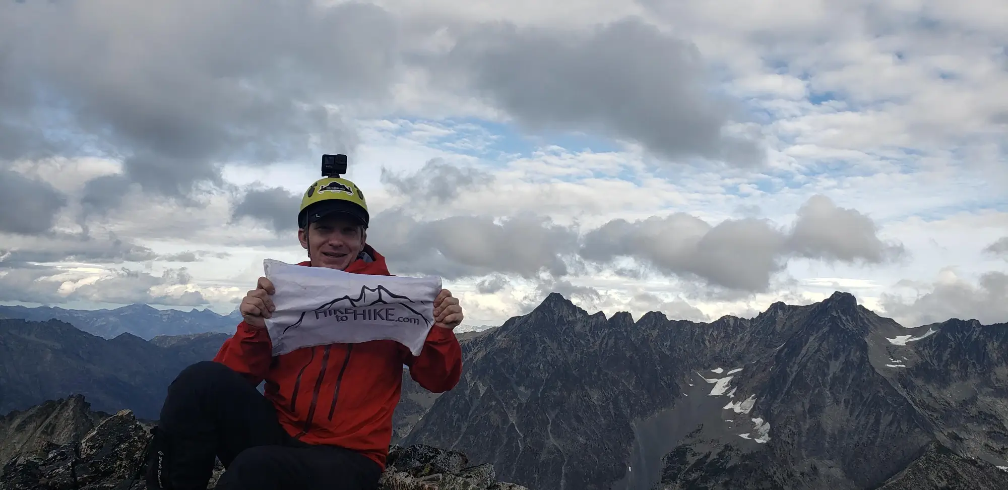
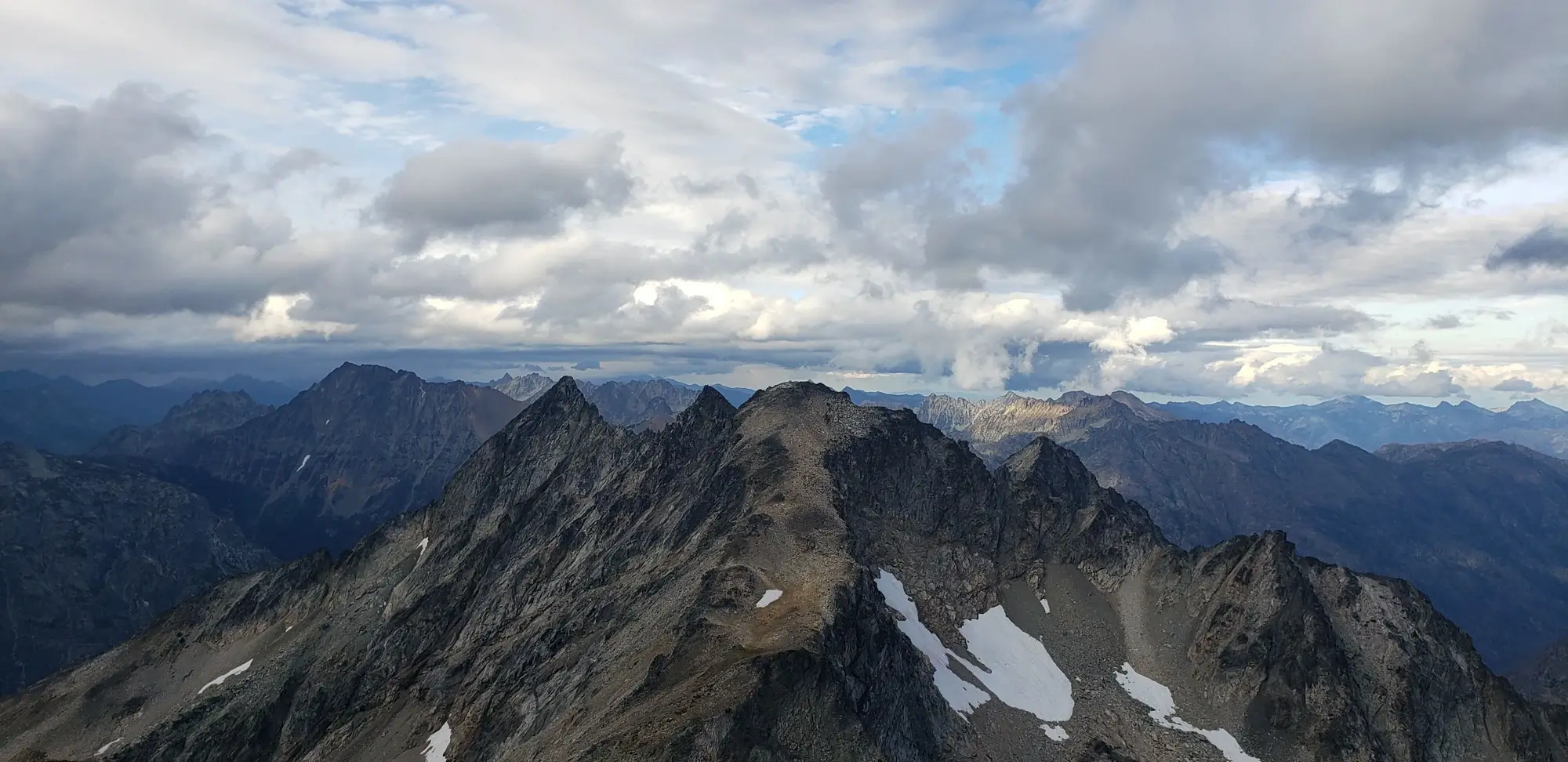
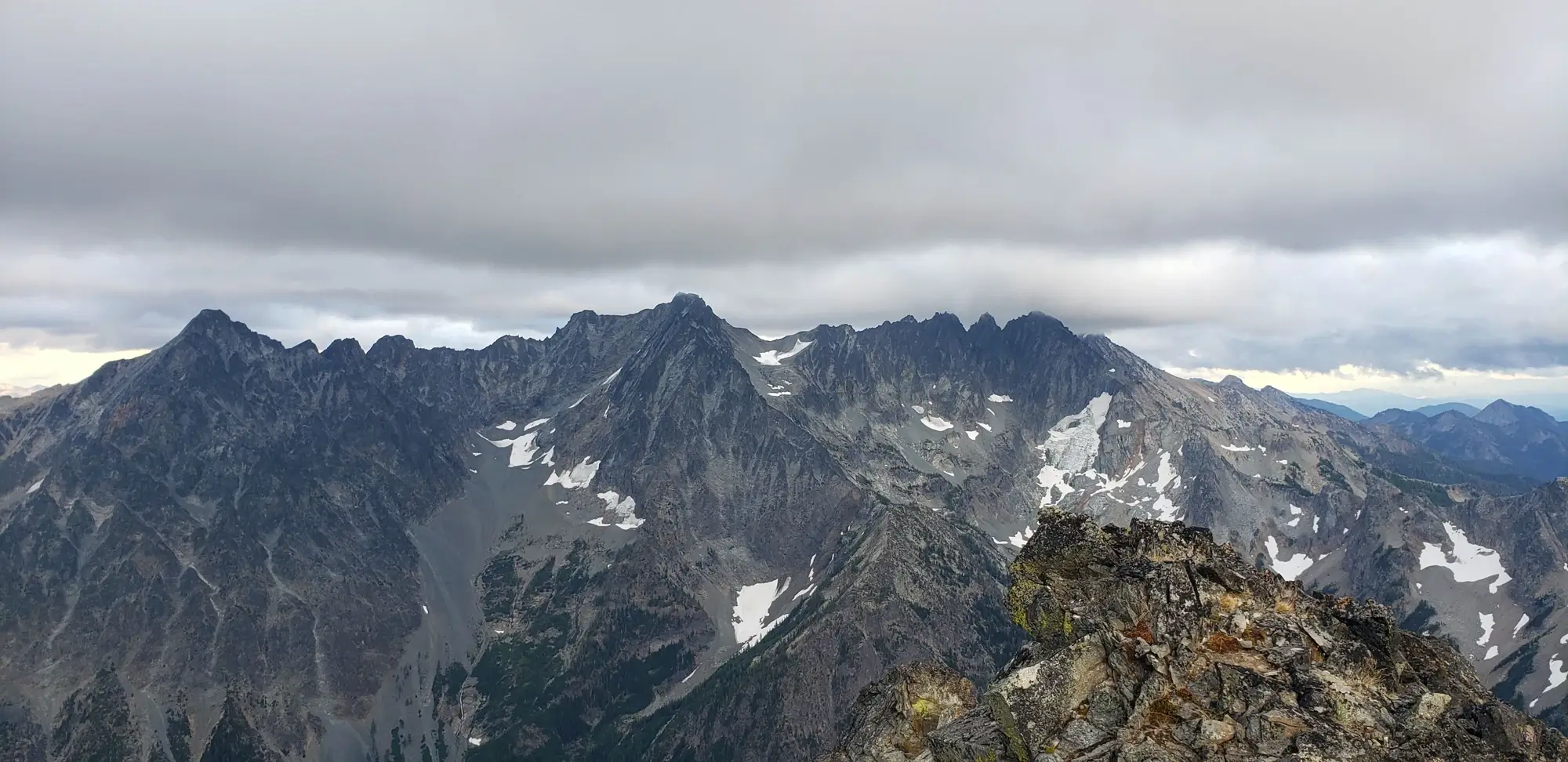
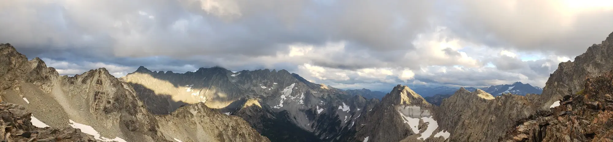
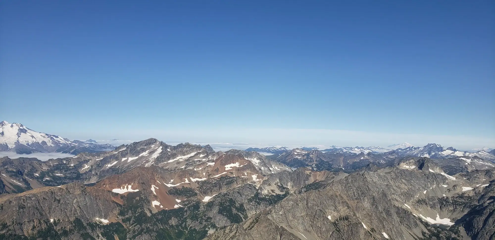
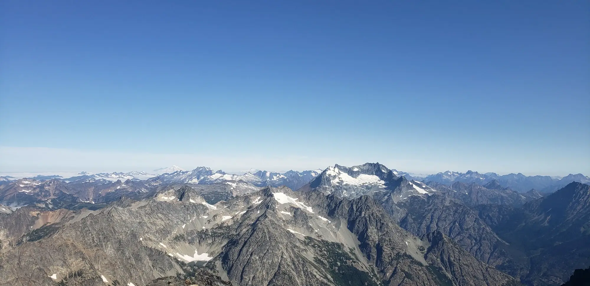
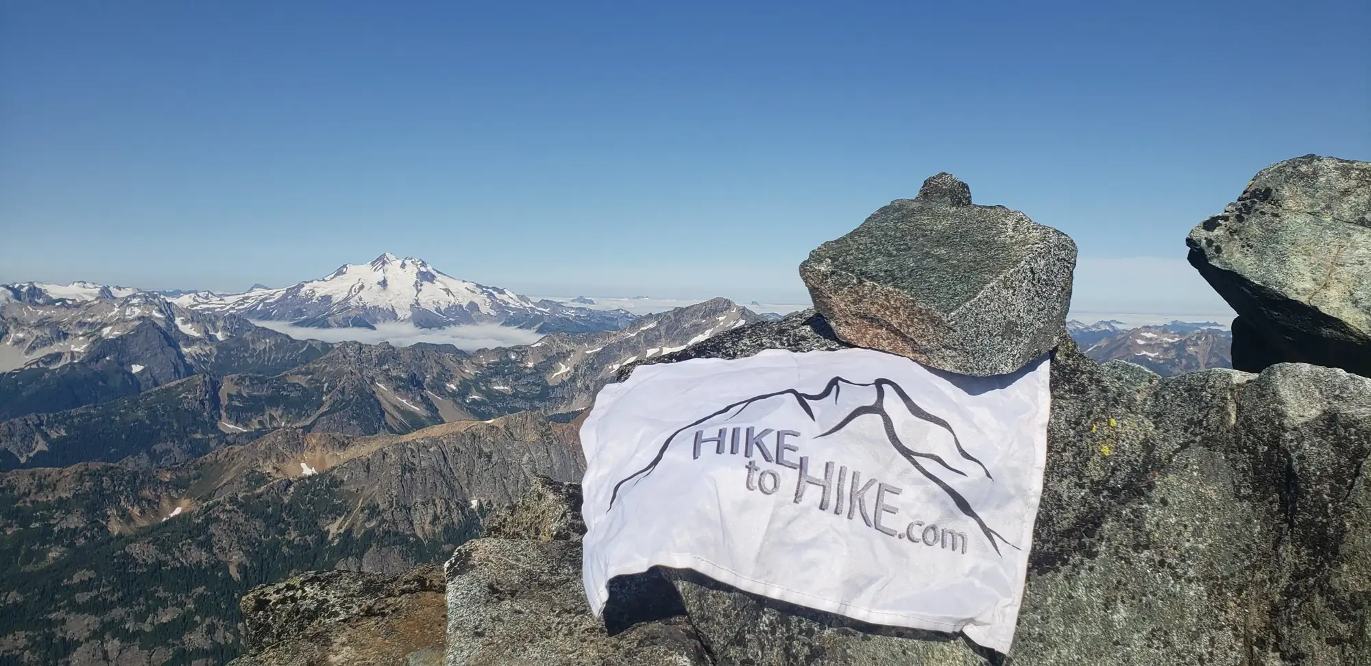
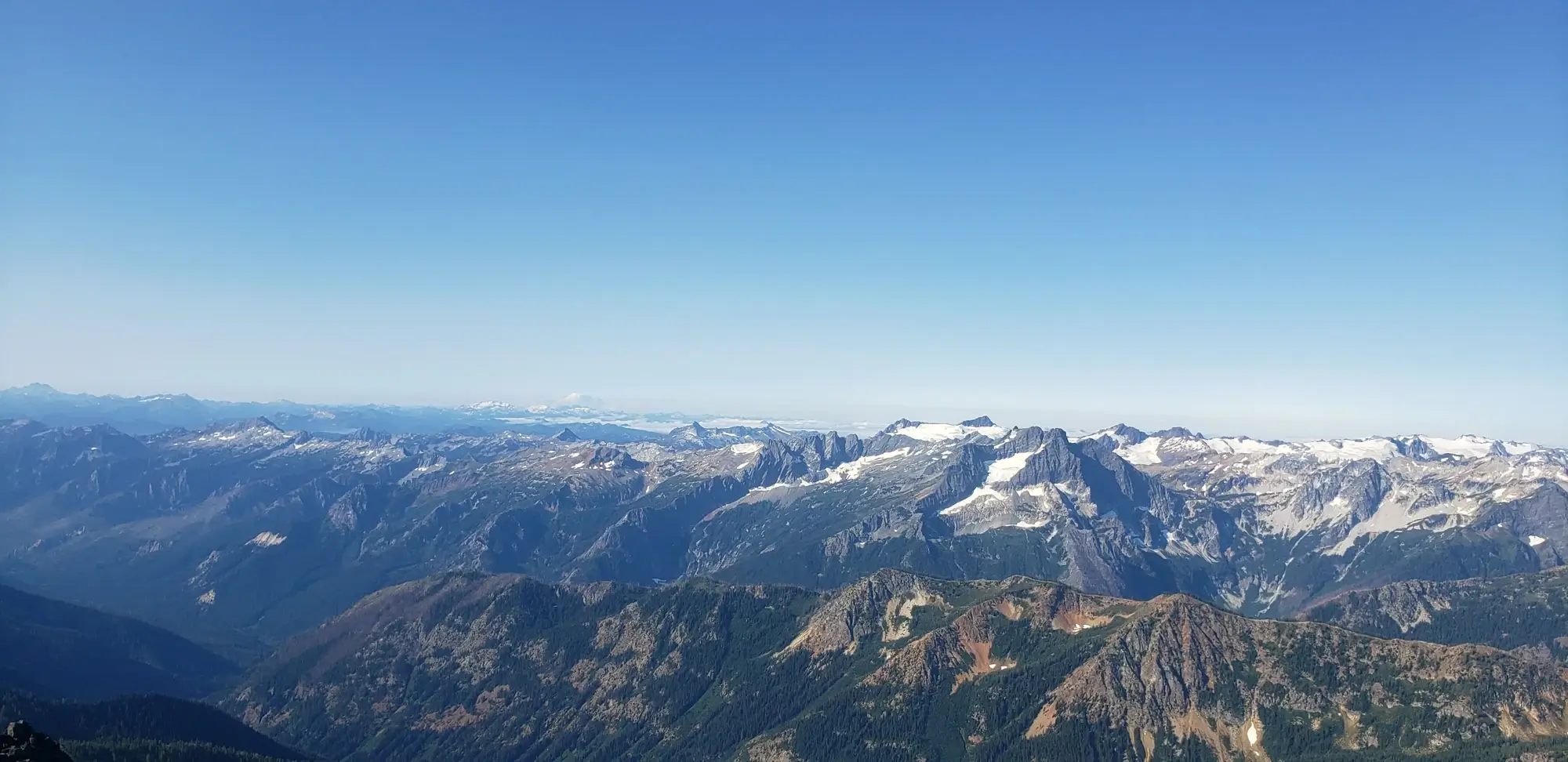
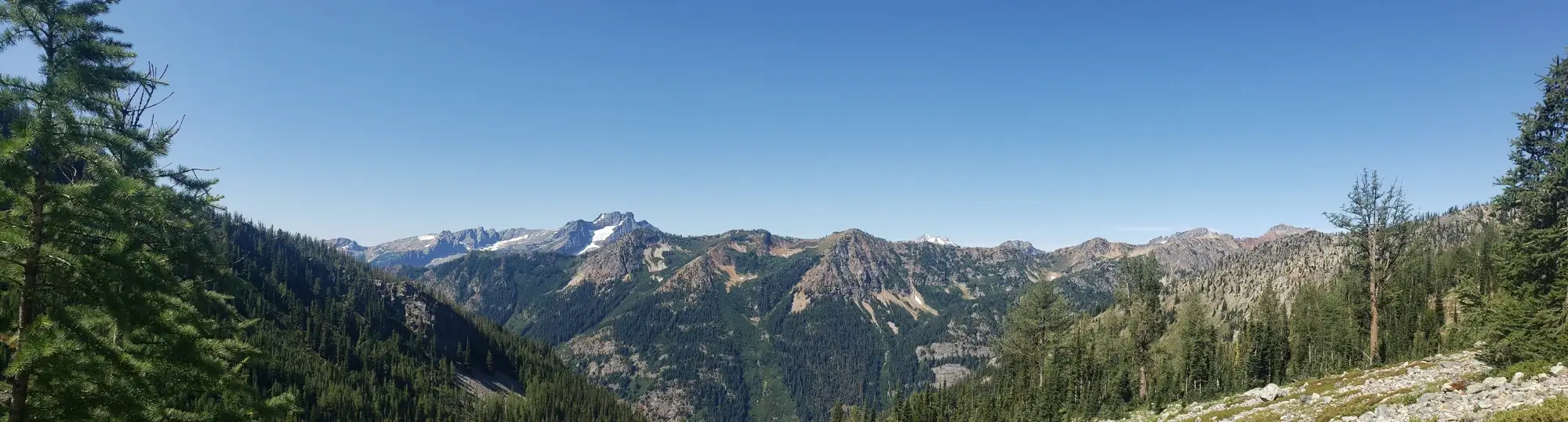
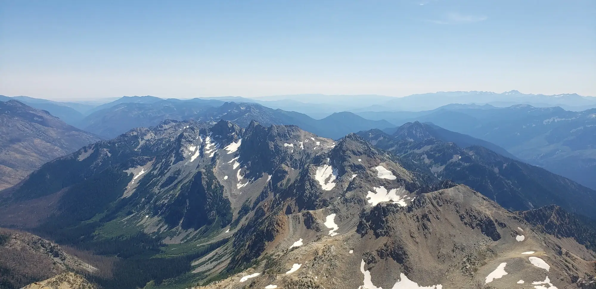
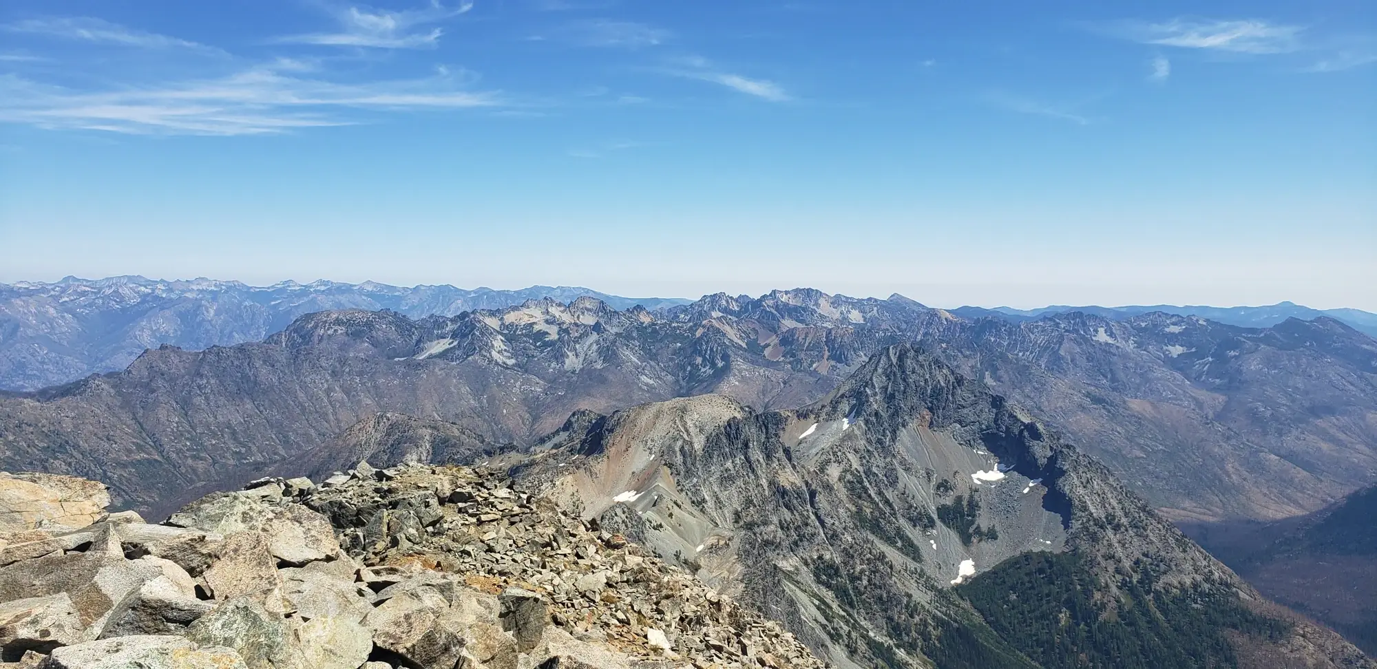
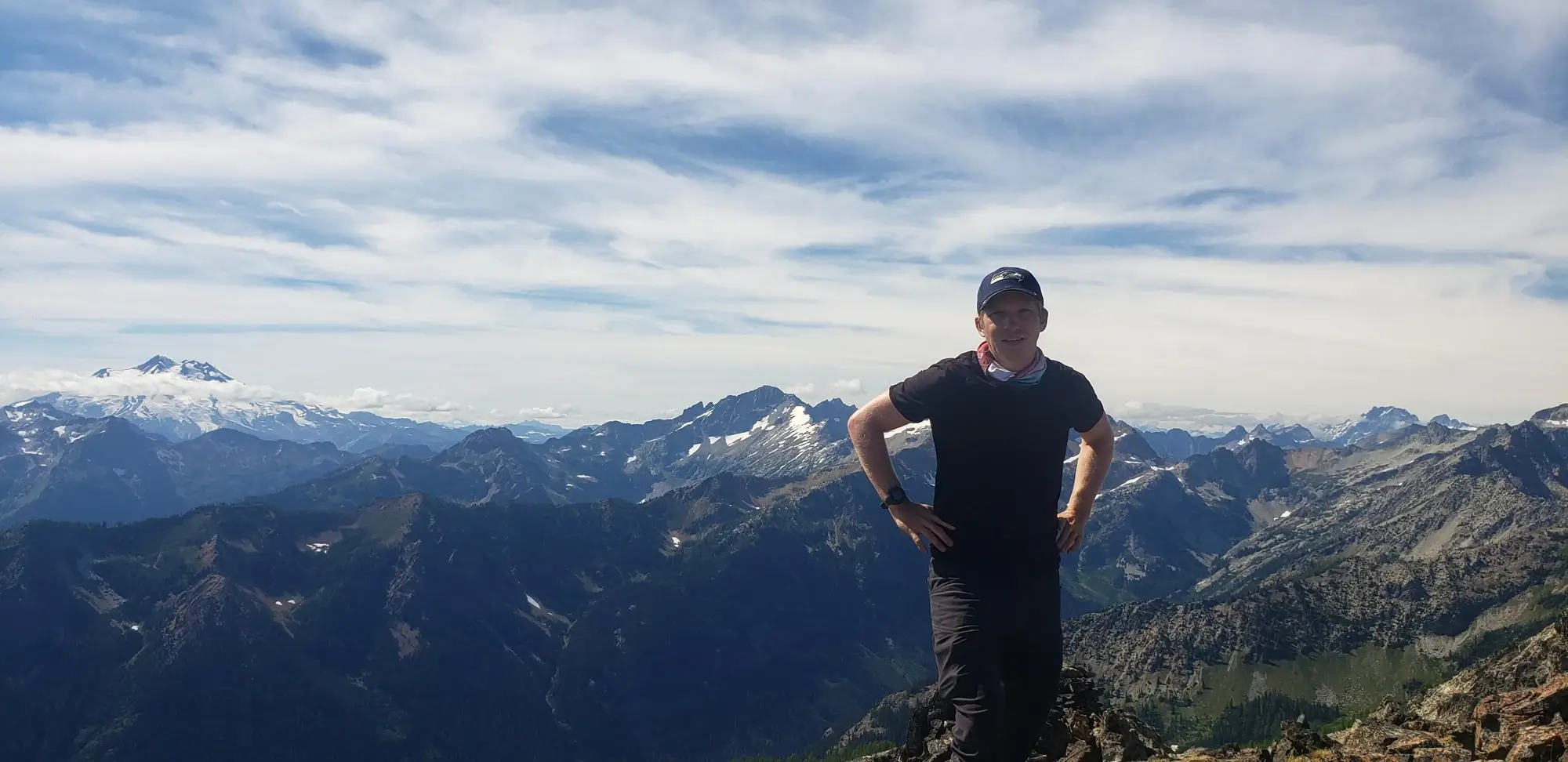
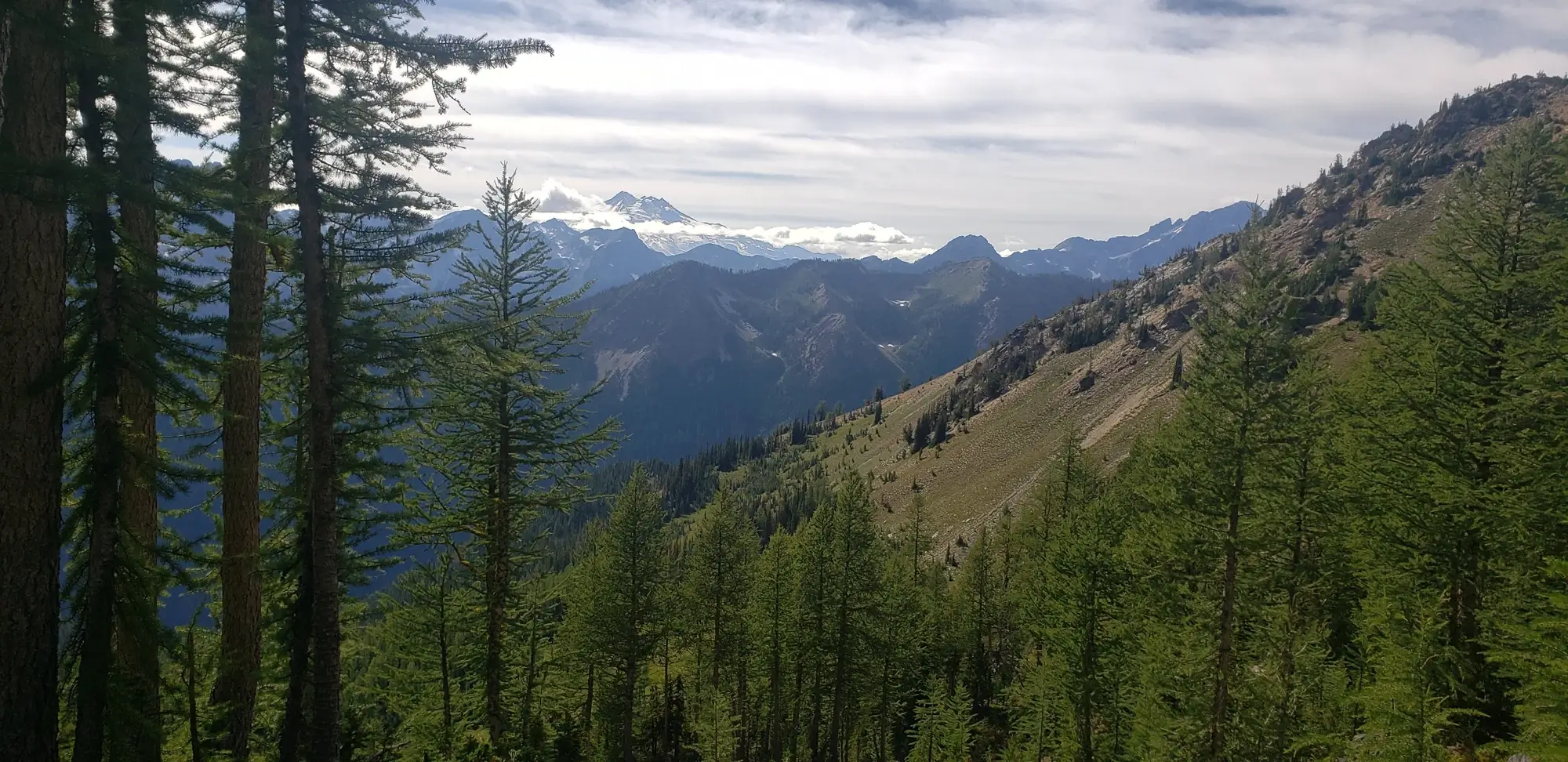
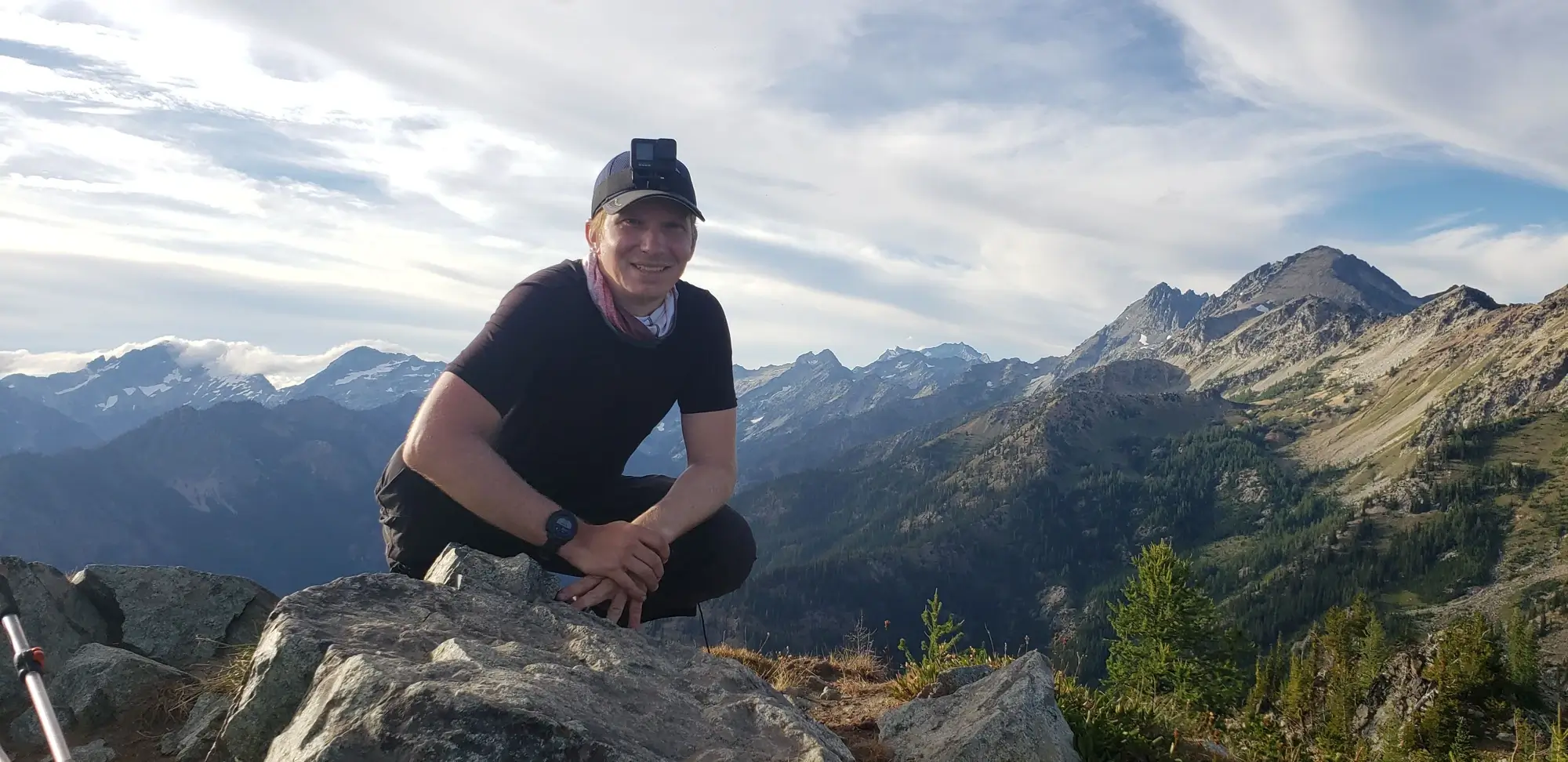
The summit view is extravagant. Thanks to its placement, it is surrounded by the other bulger peaks. With the clear day I had, there was a view most of the way into Canada and as far south as Mount Rainier.
After a brief stay on the summit, I headed back to grab my pack and head for the ice lakes area to climb the following peaks for the day.
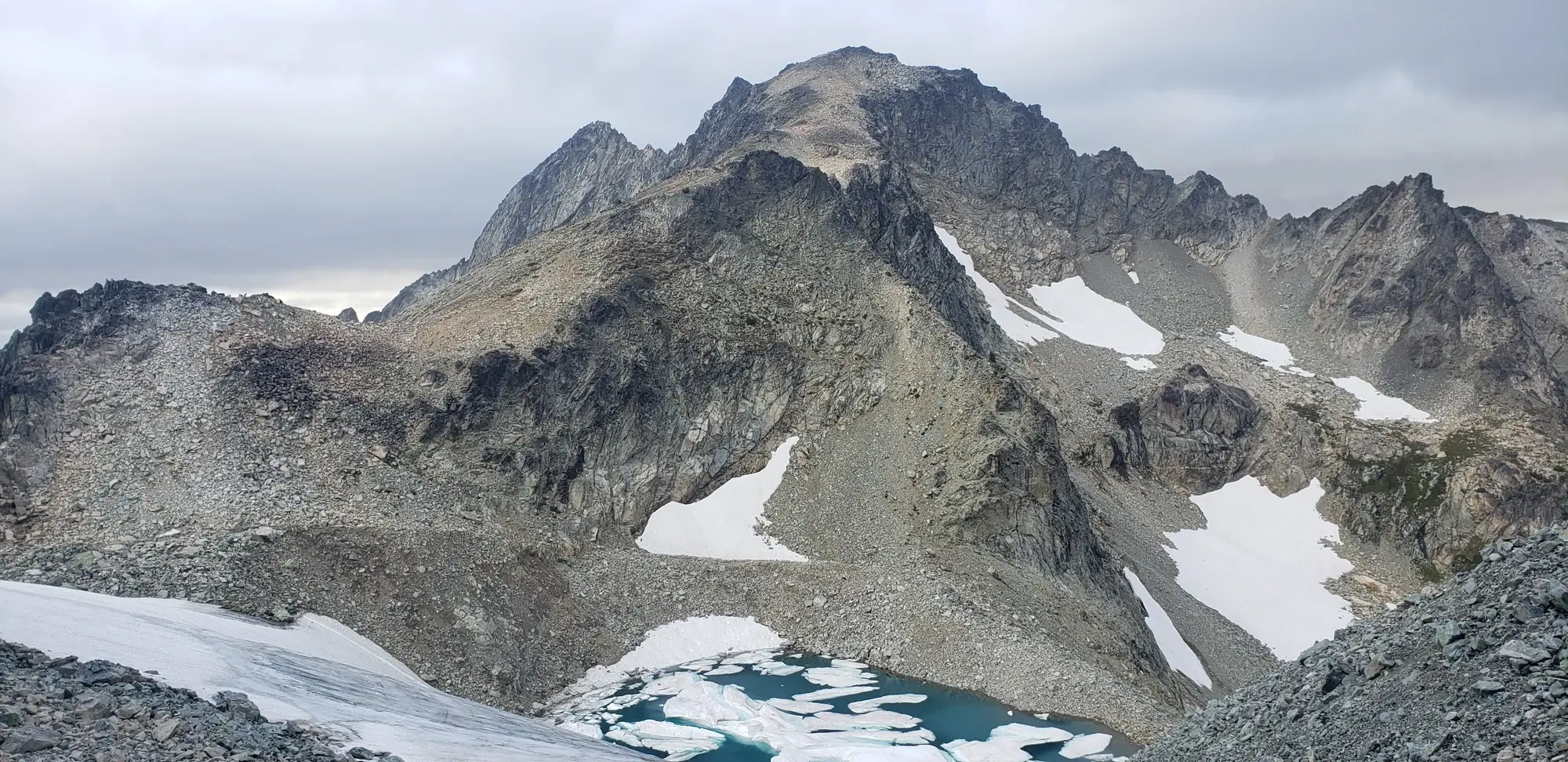
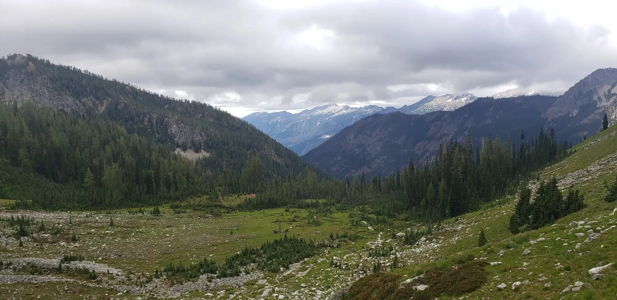
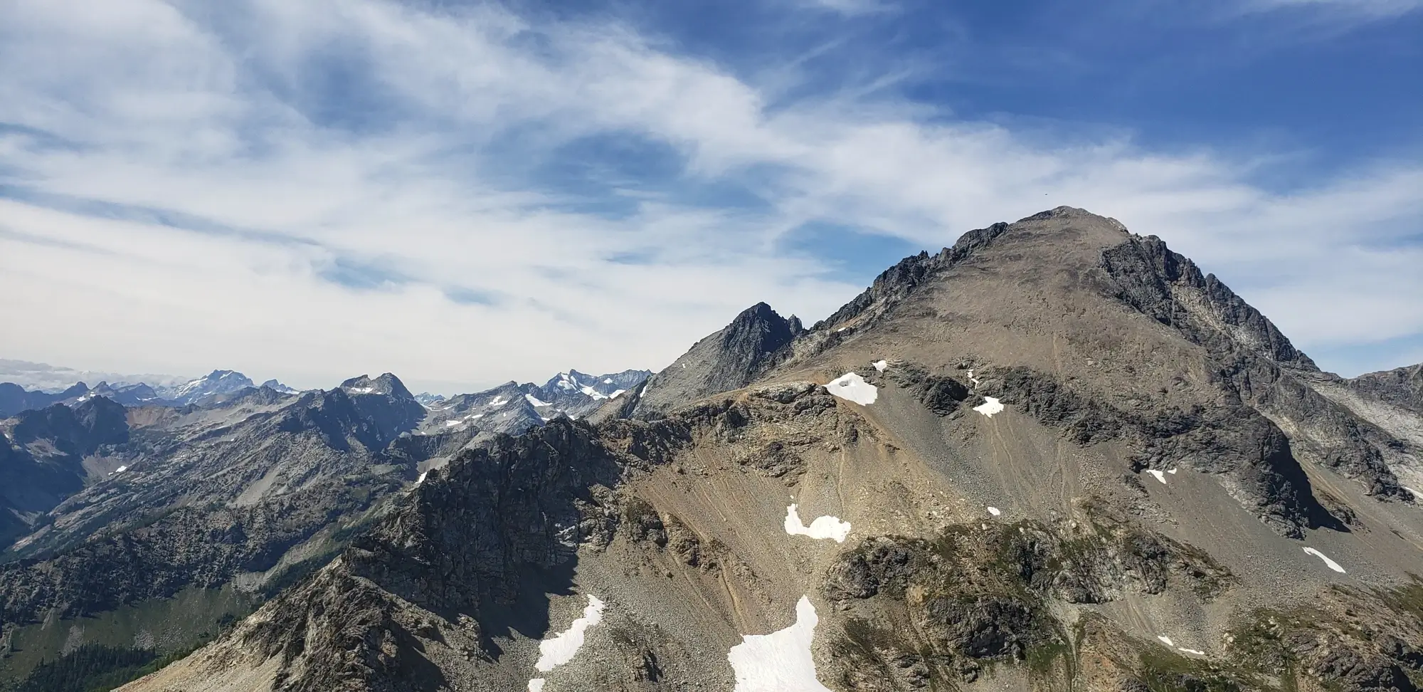
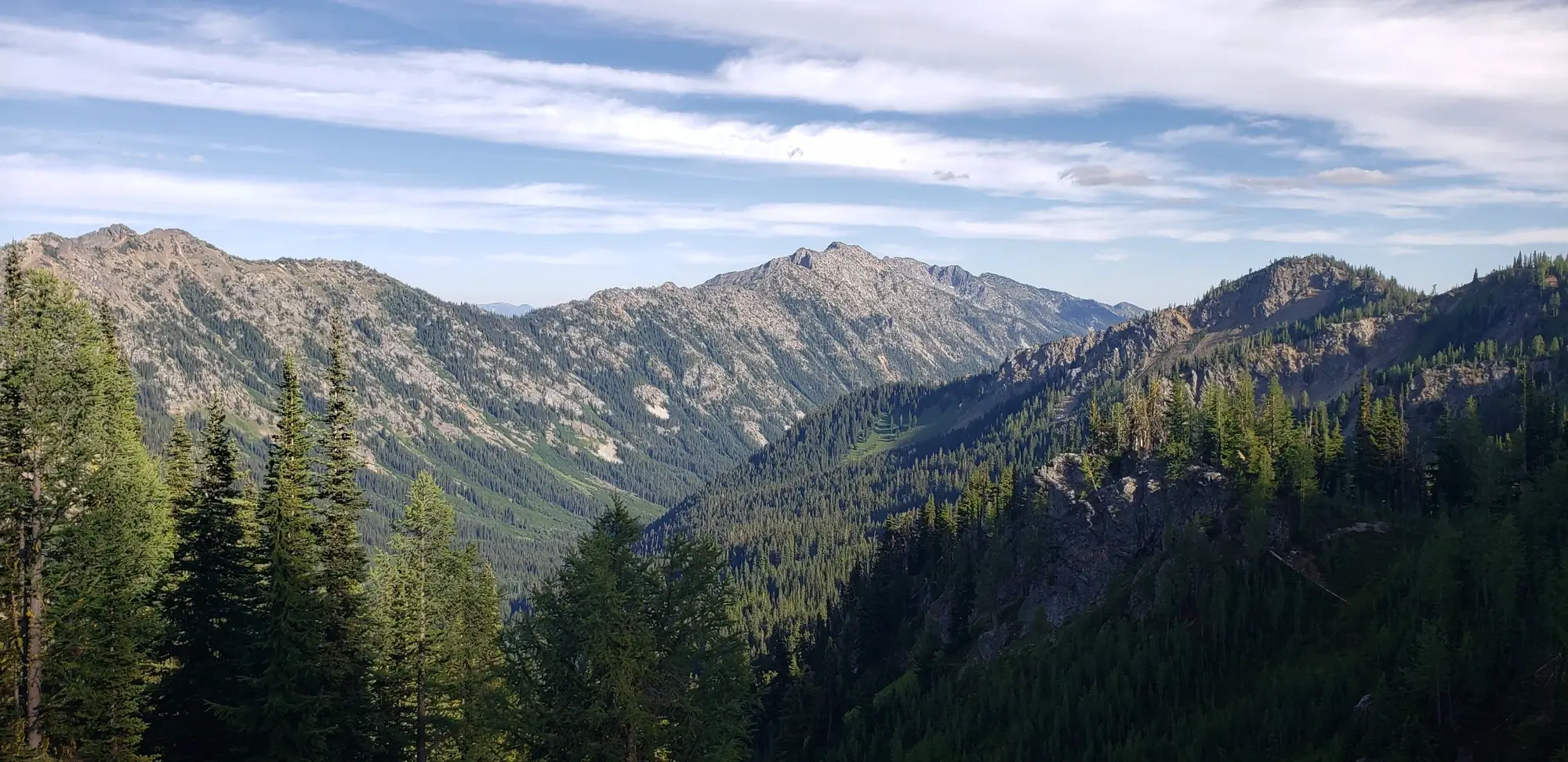
The Leroy High Route to Freezer Pass is well-trodden and easy to follow. It is, however, a primitive trail and lacks switchbacks, making it a bit hard on the legs, especially if you are carrying a heavy pack. Once at Freezer Pass, there is an exceptional view of Mount Maude and South Spectacle Butte. Immediately after arriving, I realized how far away South Spectacle Butte was and decided I would see how I felt after Mount Maude before committing myself to climb it.
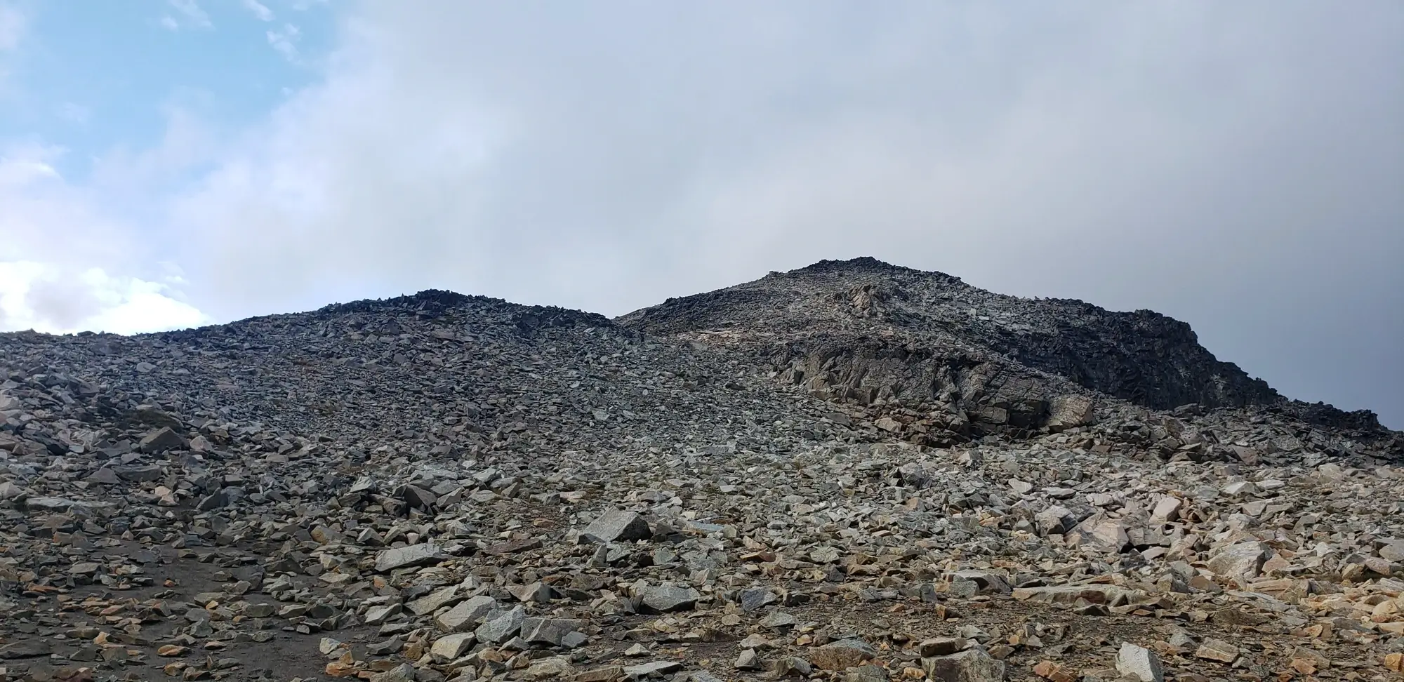
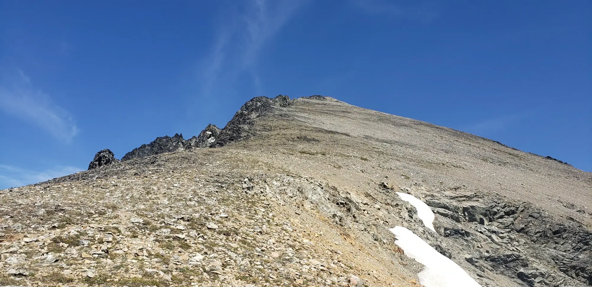
I once again dropped my pack at Freezer Pass and headed for the Mount Maude Summit. I just followed the cairns up the scree slopes to the top to get there. There is some class two scrambling along the way, but nothing that should deter anyone who has made it this far. If not for the lengthy trail to arrive at the base of the peak, then Mount Maude might beat Abernathy Peak as the easiest Bulger Peak to climb.
By the time I returned to the Freezer Pass, I had run out of food, realized that I had left my $175 pair of sunglasses somewhere along the route, and the daytime heat was pushing 85 degrees. I was spent and would need to save South Spectacle Butte for another day.
From Freezer Pass, Freezer Peak is an easy walk-up. So, I gave myself the consolation prize of walking to the top before returning to the car for the day. I thought I would need to egress back to the pass before heading for the Carne Mountain High Route. However, someone had marked a trail that descends the (east?) side of the mountain and then meets up with the high route without needing to retrace your steps.
While I was walking out, I finally realized how exhausted I was. My legs were in that type two suffer-fest mood of just plodding along. The high route is easy to follow most of the way. However, there are several spots where the trail disappears. So, if you choose to take it, ensure you are ready for moderate navigation. For me, the worst part was that it undulates continuously. My legs were tired, and I was prepared for the food waiting in my cooler. I suggest not doing 7 Finger Jack and Mount Maude on the same day and capping it off with the high route.
The last hoorah of my adventure was making the very short, but at this point painful, ascent of Carne Mountain. It has an incredible view of the entire Phelps Creek Basin area and was worth spending what would be my last burst of energy to experience.
After arriving at my car, I plopped down in my camping chair, cooked food, drank a beer, and chatted with the few other people exiting the trail late that evening. I watched the stars and moon rise before crawling into the back of my car for some much-needed sleep on a soft memory foam pad.
The following day, I drove out to Lake Wenatchee, hopped in to wash off the stink and sweat of the past several days, and then headed to Leavenworth for a meal and some reflection on what I had just achieved.
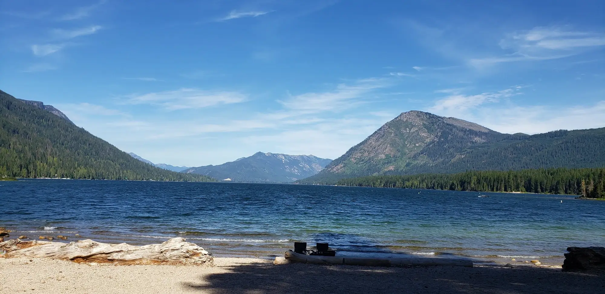
The fresh breath of air that swimming in that lake felt like, the meal to cap off another wild adventure, and the freedom of being myself helped me to remember what makes life so brilliant. It reminded me why the outdoors keeps me off drugs and why the mental burst of energy these places provide helps guide my journey of maintaining my mental health.
Thank goodness for these places. Thank goodness I finally found the motivation to write down my thoughts and experiences again.