As I approach the 50 mark on the Bulgers, many easy access peaks are crossed off the list. Mostly, it is down to the small groupings of mountains that can take one or more days to reach. Chiwawa and Fortress have both been lurking in the corner of my eye for the past couple of years. So, I decided to take a shot at them while fire season is still at a minimum.
The day began with me mistakenly driving the notoriously rough road for the Phelps Creek trailhead. I was so ready to go that I nearly headed off the trail before realizing my mistake. Accessing Chiwawa and Fortress mountains from this side would be far more epic than reaching them from the proper Trinity trailhead.
The first section of Buck Creek trail up to the junction with the Chiwawa River trail is an easy walk and a welcome warm-up before the strenuous climb ahead. It is slightly overgrown in spots but easy to follow.
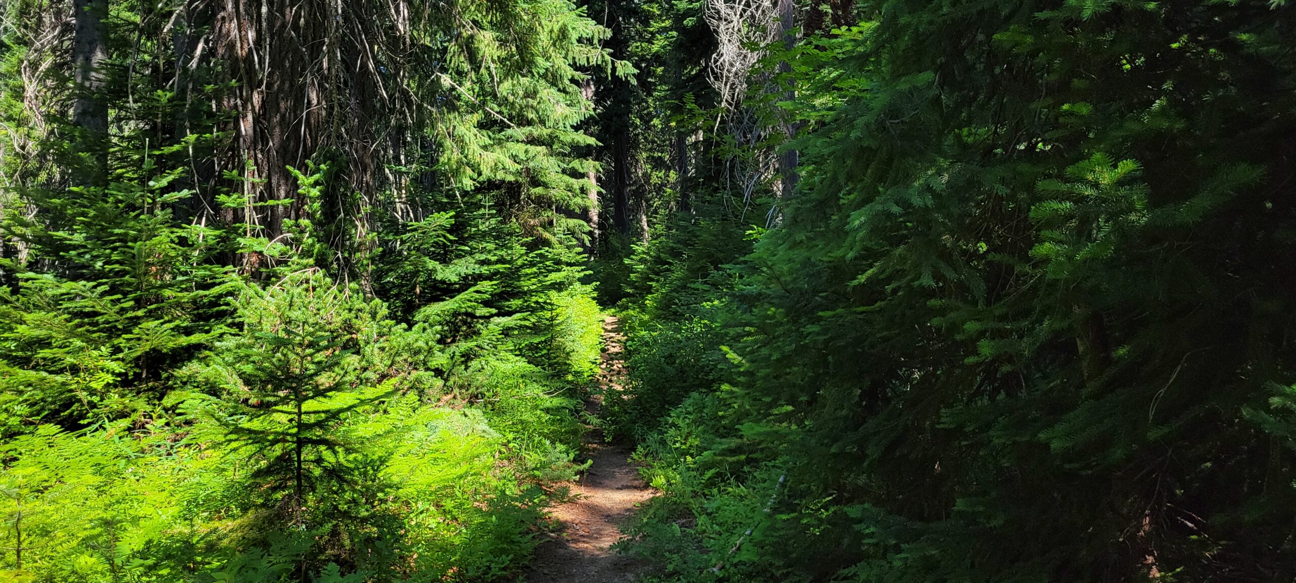
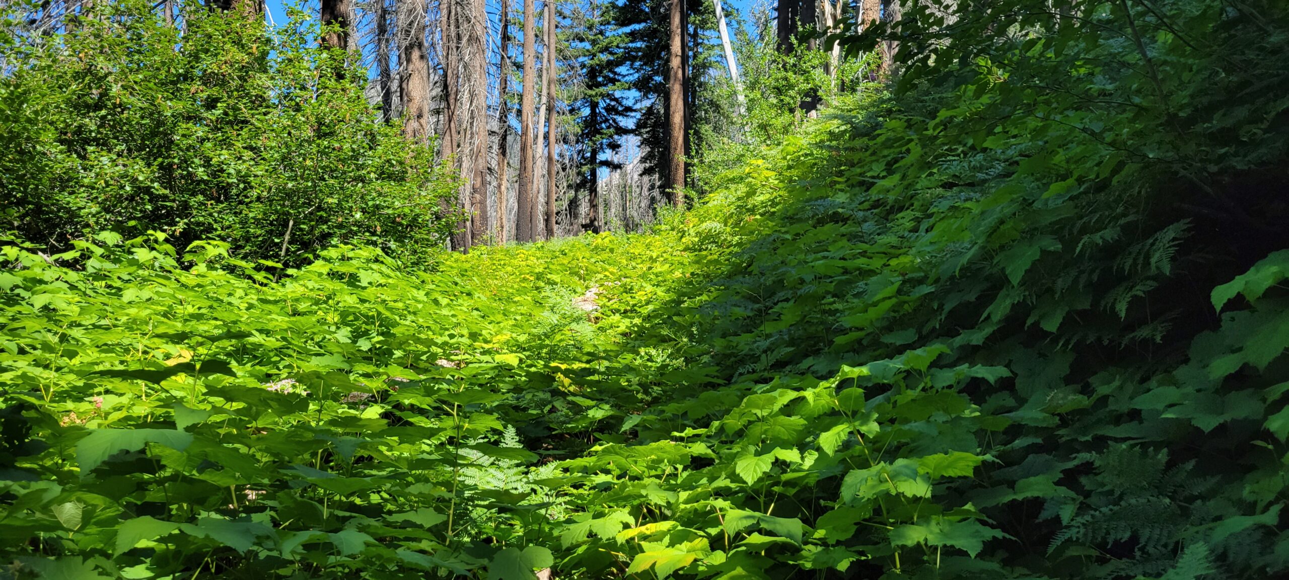
The day takes on a new look once on the Chiwawa River trail proper. The trail must be rarely used since it is mainly covered in bushes and has had little to no maintenance for years. The brush was so thick in some spots that I had to push it aside to look for the trail. The worst part is that trees have fallen for perhaps years across the path and lay hidden underneath all the thick brush. I tripped several times and even found a few hidden streams.
Besides the lack of maintenance, the Chiwawa River trail is a pleasant walk. There are a few peek-a-boo views of the surrounding mountains. It is covered with trees to provide shade and is well-graded, making the elevation change barely noticeable. Despite the adventure of bush bashing, I still managed to make it to the second junction in around 2 hours.
The second junction is easy to miss. An almost imperceptible trail branches off and heads downhill from here. If you start going uphill on some switchbacks, you have gone too far for this route. However, you must use the switchbacks if you want to get to Chiwawa Mountain by traversing Red Mountain. I have not taken that route, so best to consult either the Cascade Alpine Guideor the Summitpost entry for advice on that traverse.
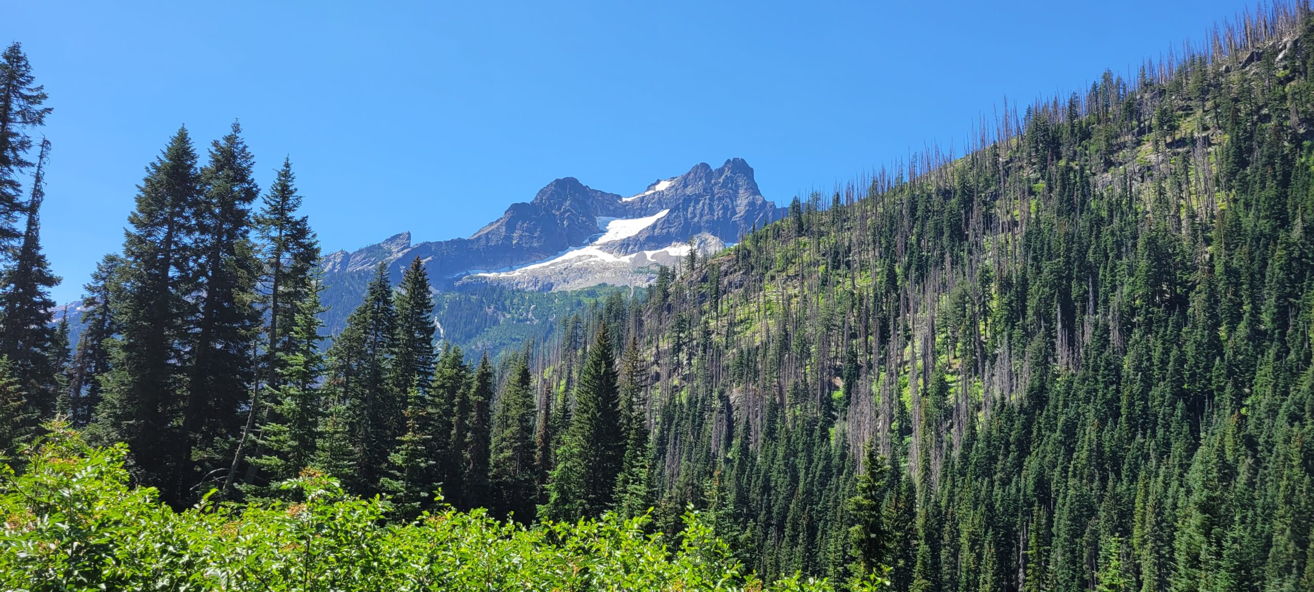
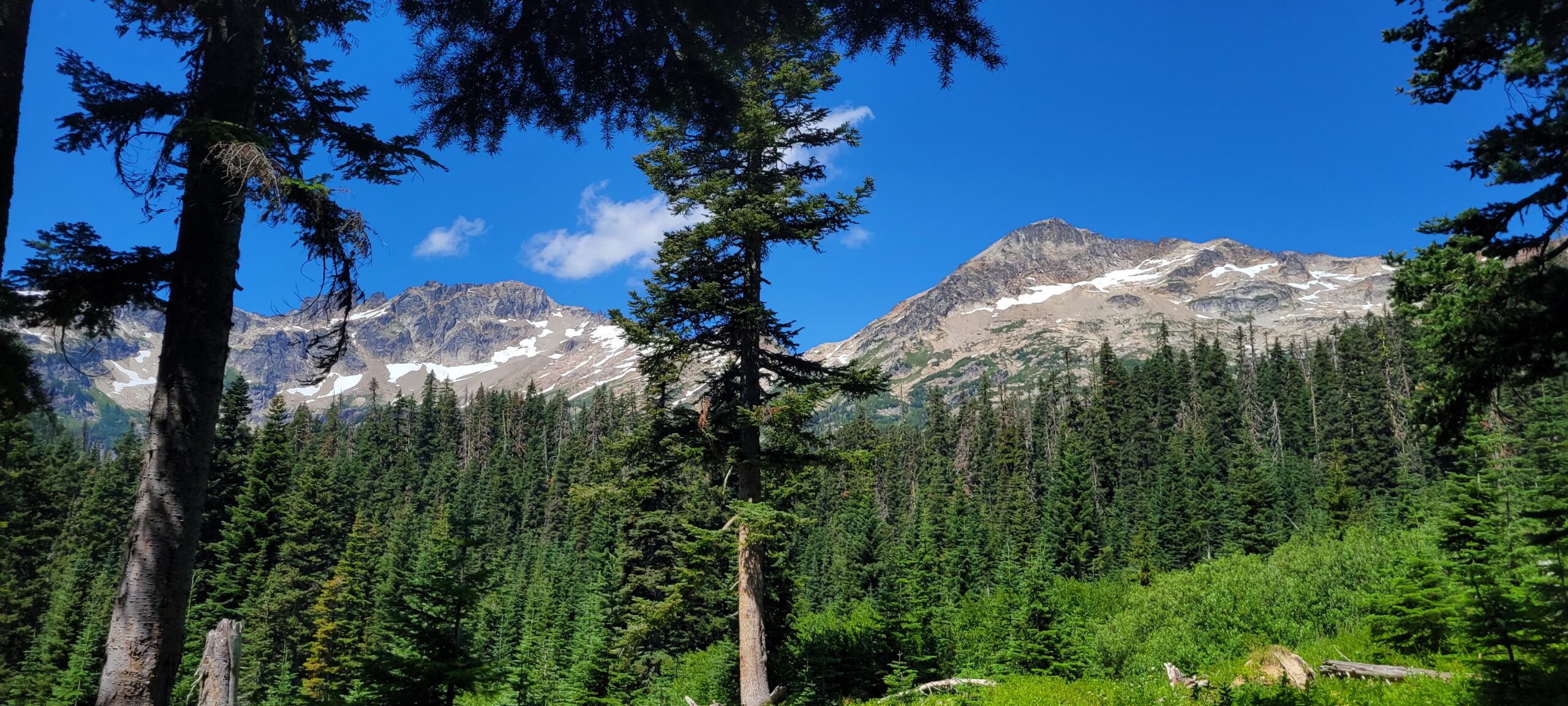
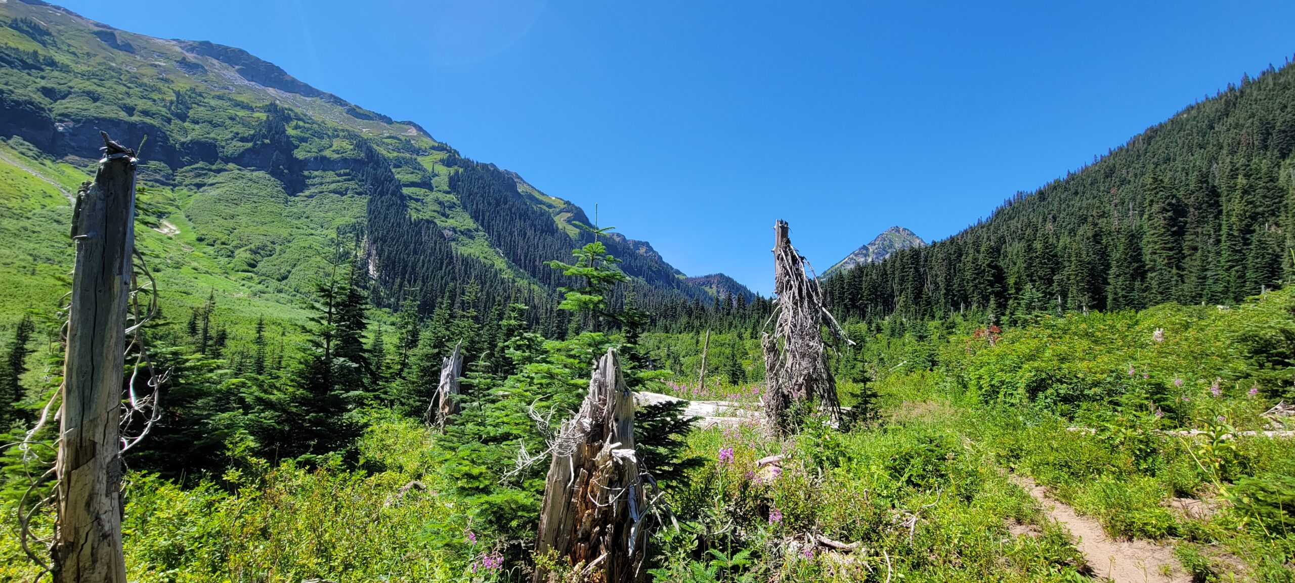
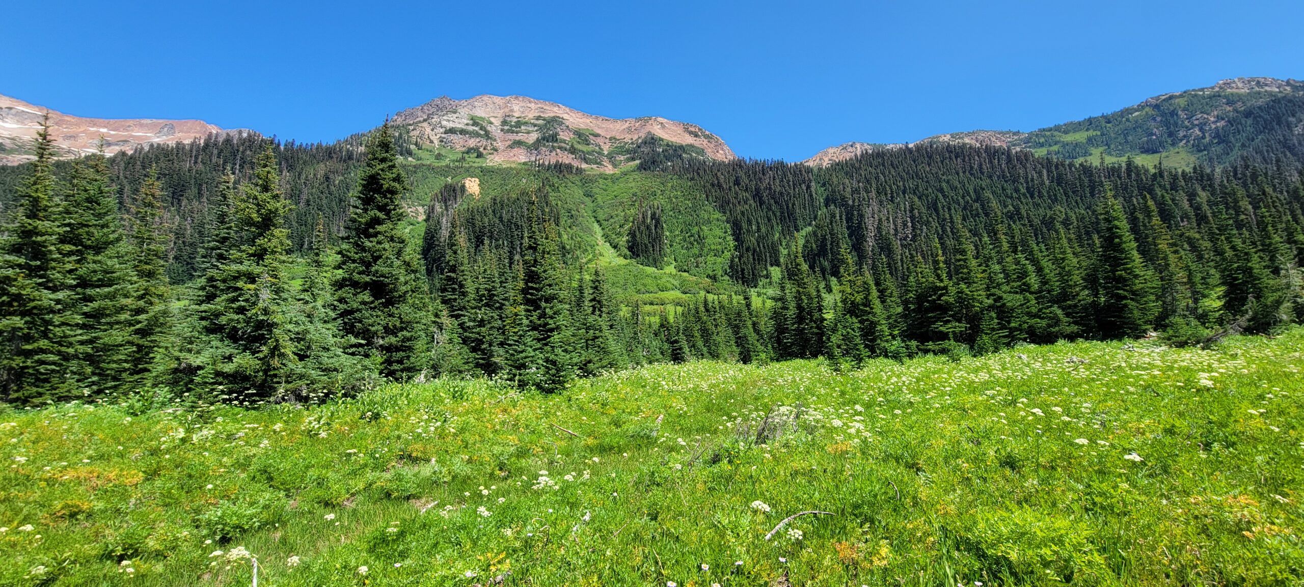
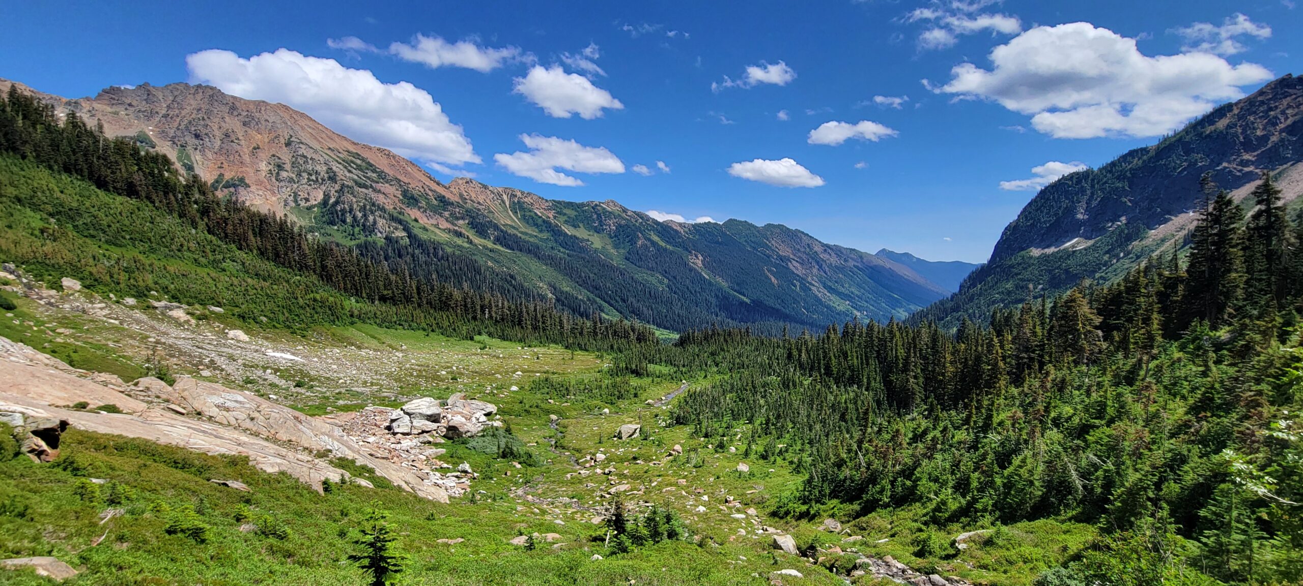
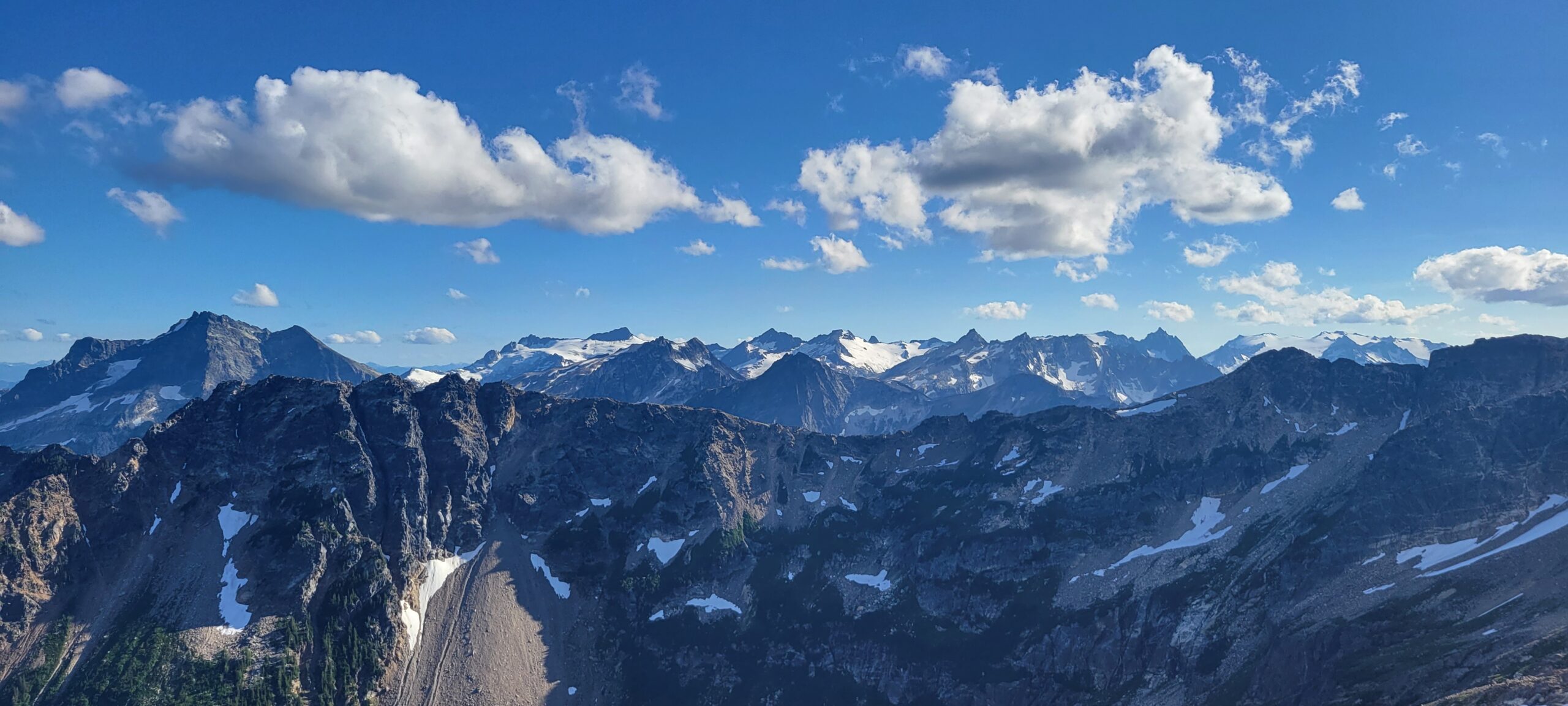
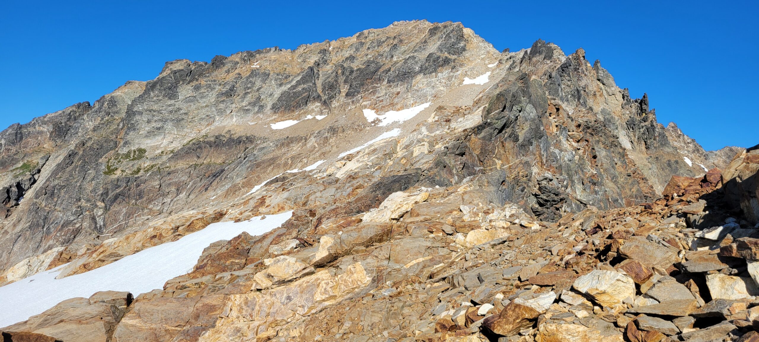
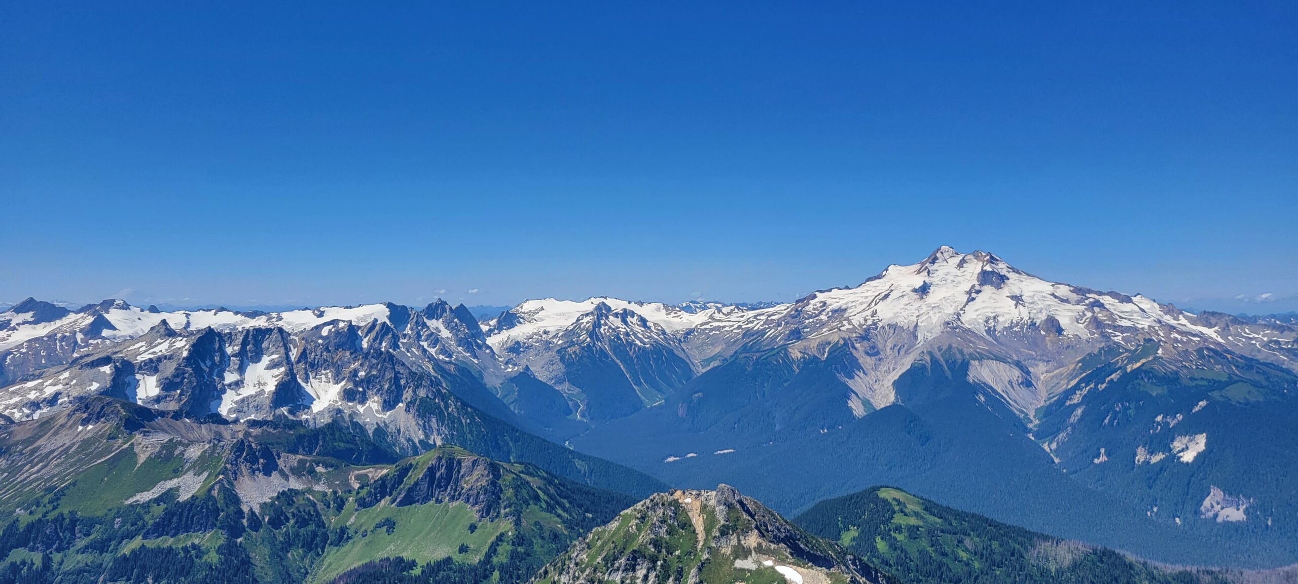
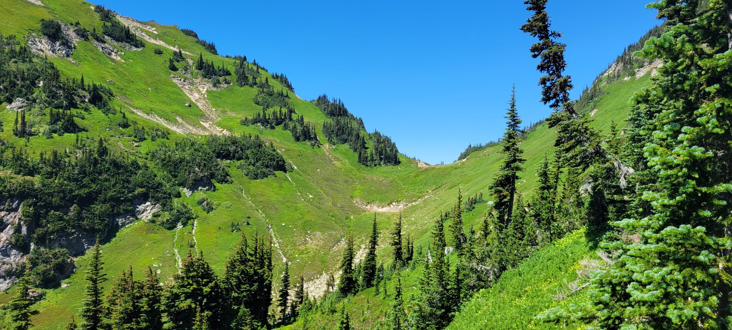
From the second junction, the trail drops a few hundred feet into the valley, and once it hits the edge of the trees, you get your first real glimpse of the climbs ahead. From here, Chiwawa and Fortress both dominate the skyline.
Movement through the valley toward the crossing of the Chiwawa River is a fast mile or two as you approach the river crossing. There were a few nice camping spots with easy access to water, but there were also a lot of bugs. That is only my idea of a solid camping spot if you enjoy a mosquito net on your head.
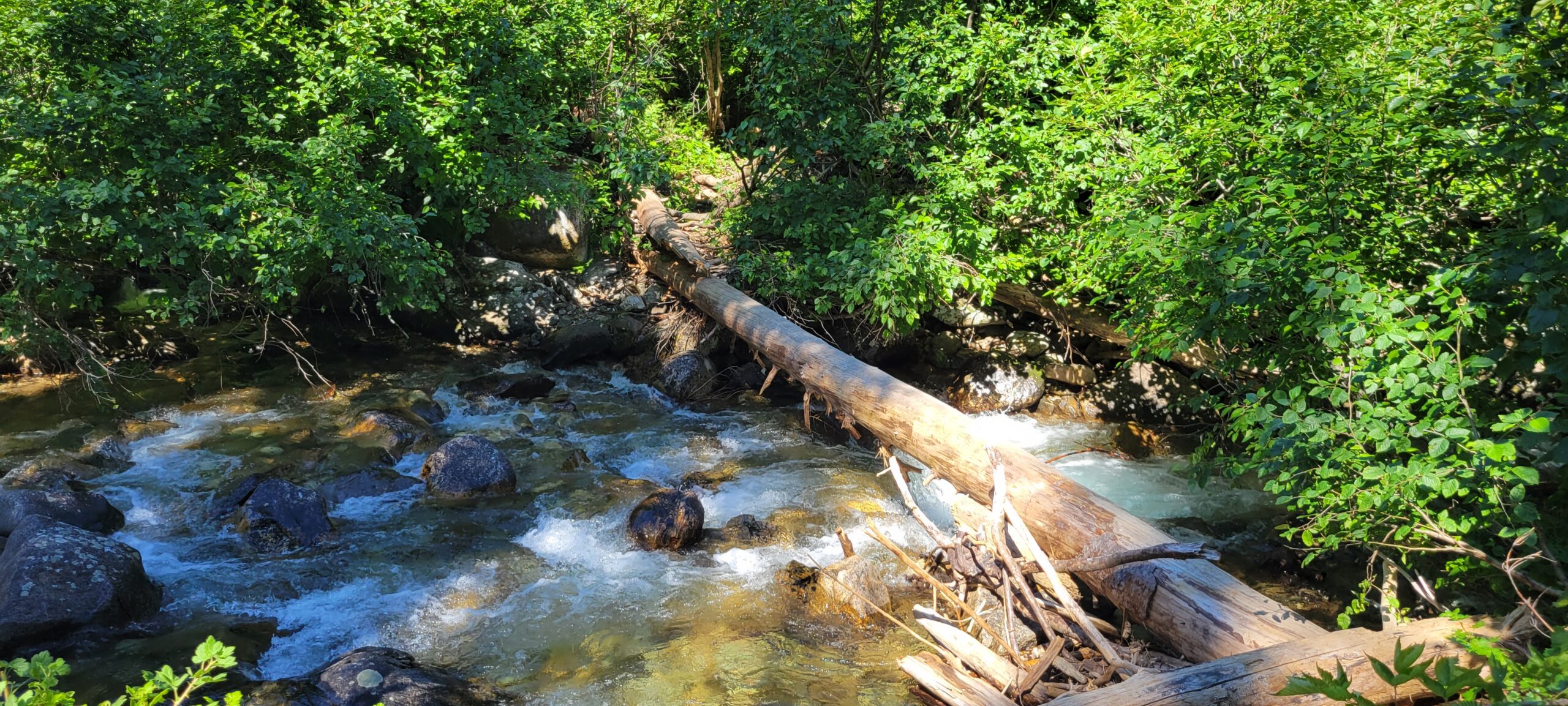
I expected to remove my shoes for the river Ford. But thanks to the hot year we are having, the Chiwawa River was barely ankle-deep, and I hopped across using some rocks and my trekking poles.
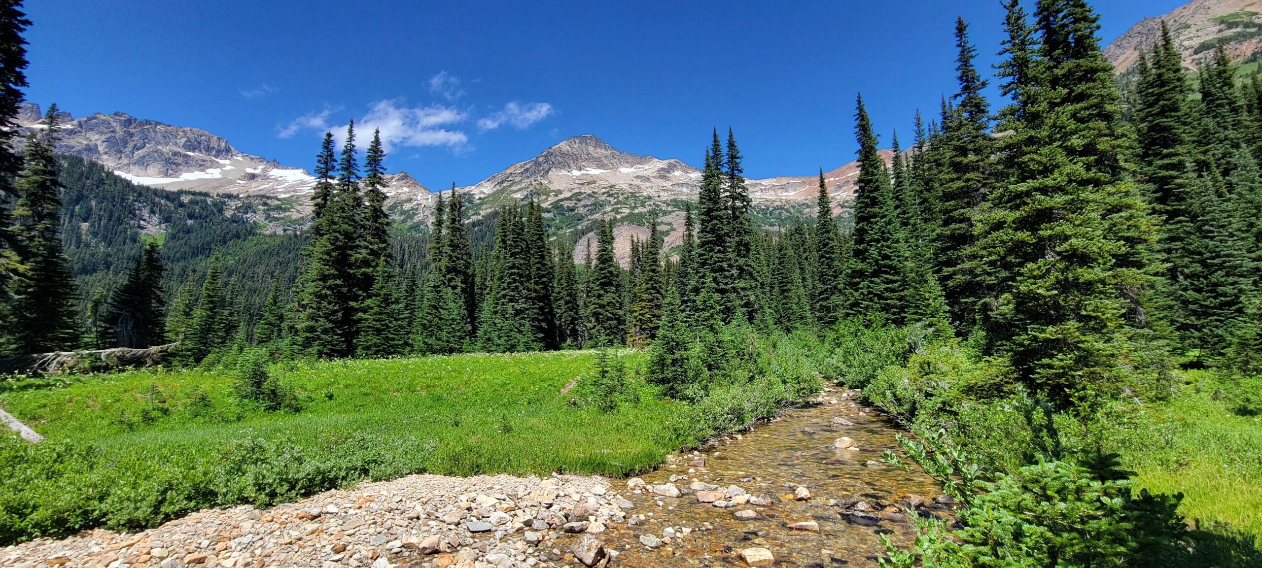
After the crossing is where the real fun begins, I was trying to figure out where to ascend since the trip reports I read had people going in different directions. But after crossing the first meadow after the Chiwawa River, you must get to the apparent bench you will see on maps (coordinates are approximately 48.14923, -120.91004). I was working my way towards it and noticed very little undergrowth in the trees to the north, so I headed uphill to a small ridge that looked like it would connect to the meadow.
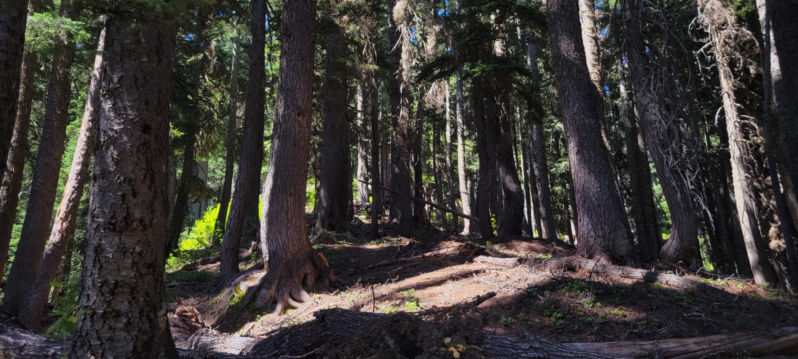
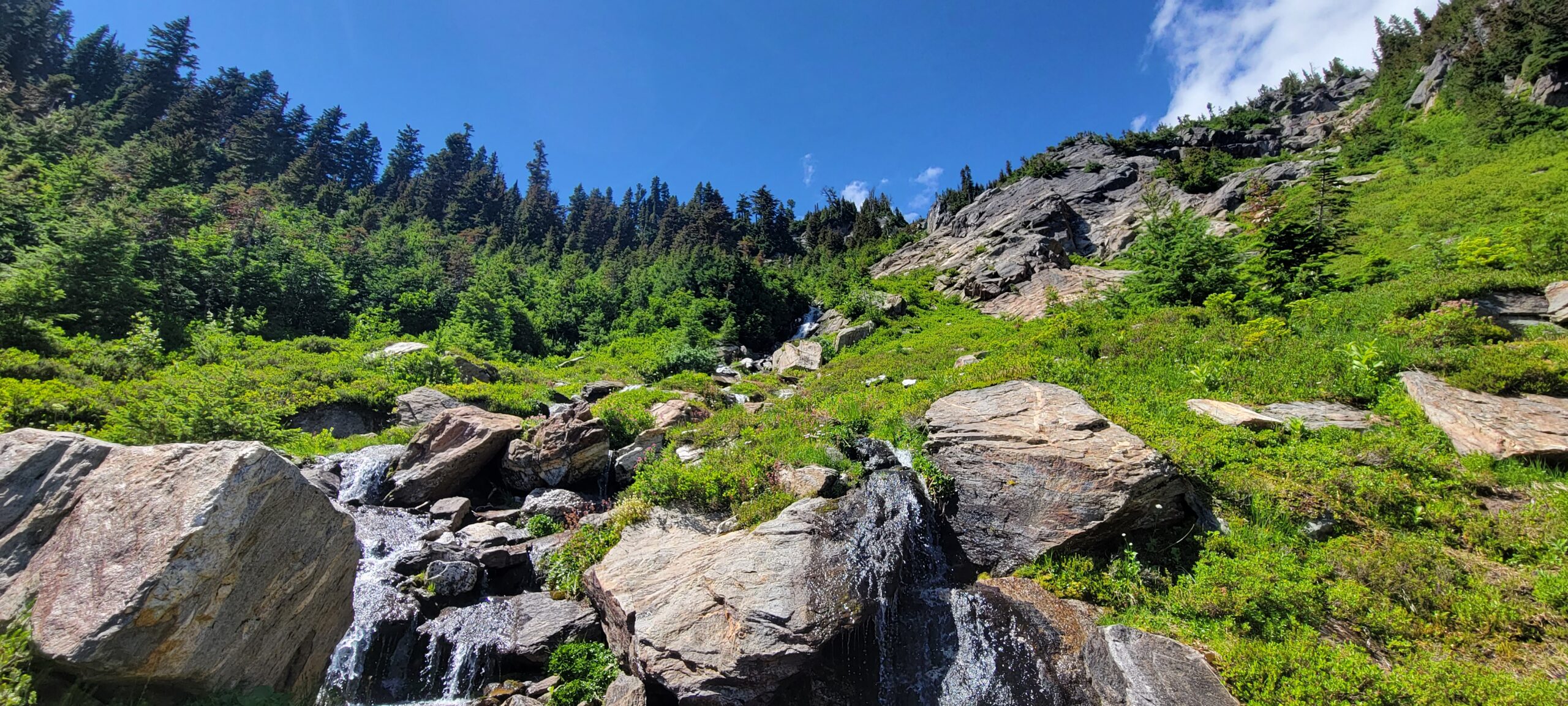
As luck would have it, the ridge has a faint boot path that leads directly uphill. It disappears and reappears in spots, but for the most part, it is easy to follow through the wooded area. Along this ridge was the first real break I took for the day. The bugs were minimal, the shade was lovely, and after 3 hours of moving, I needed food in my tummy before the climb started.
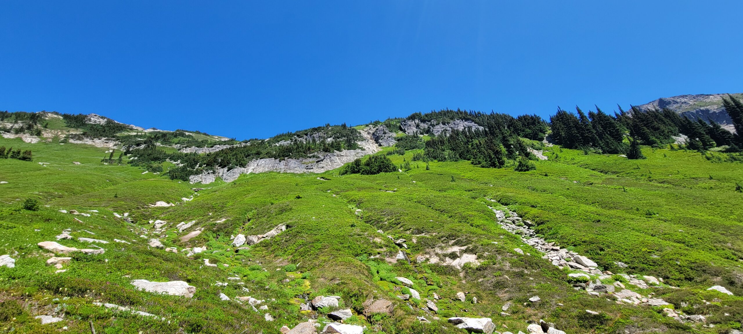
There is little trail left to follow once in the meadow on the bench. I did encounter a few boot paths here and there, but overall it is a choose-your-own-adventure spot. The idea is to work your way Northeast to a small creek/waterfall. With the low water levels, working up and around the stream snaking its way down the mountain was easy. If the water levels are higher, it might be a different story. A few other spots looked climbable, but the paths were covered in small trees and bushes. I had enough bush bashing for the day, so I avoided them. Scrambling the creek is far easier than it looks from below.
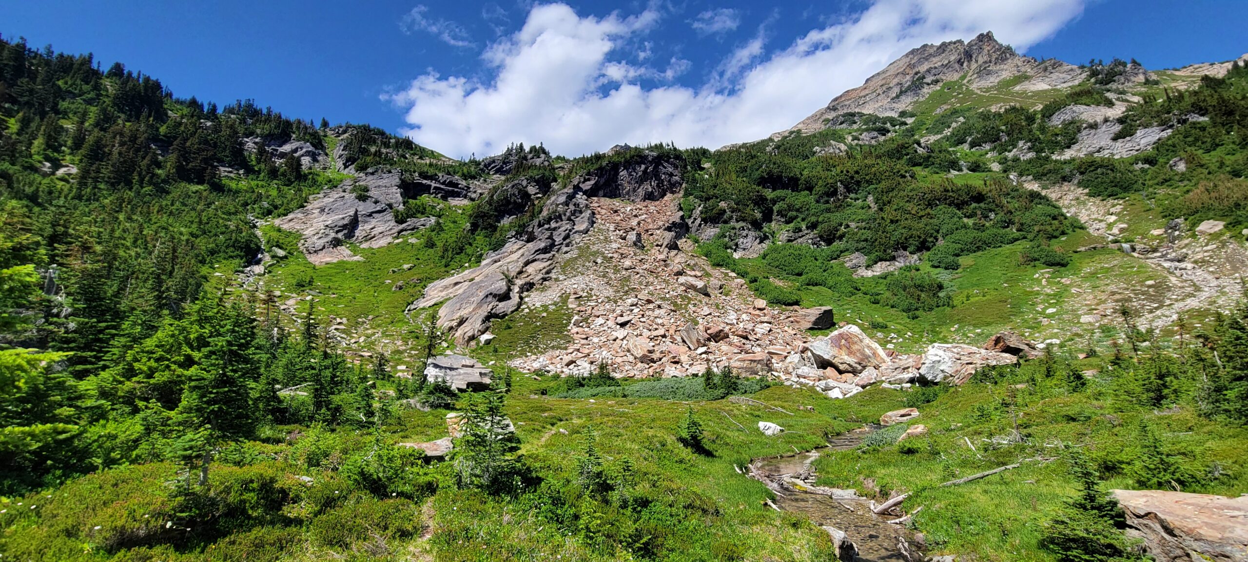
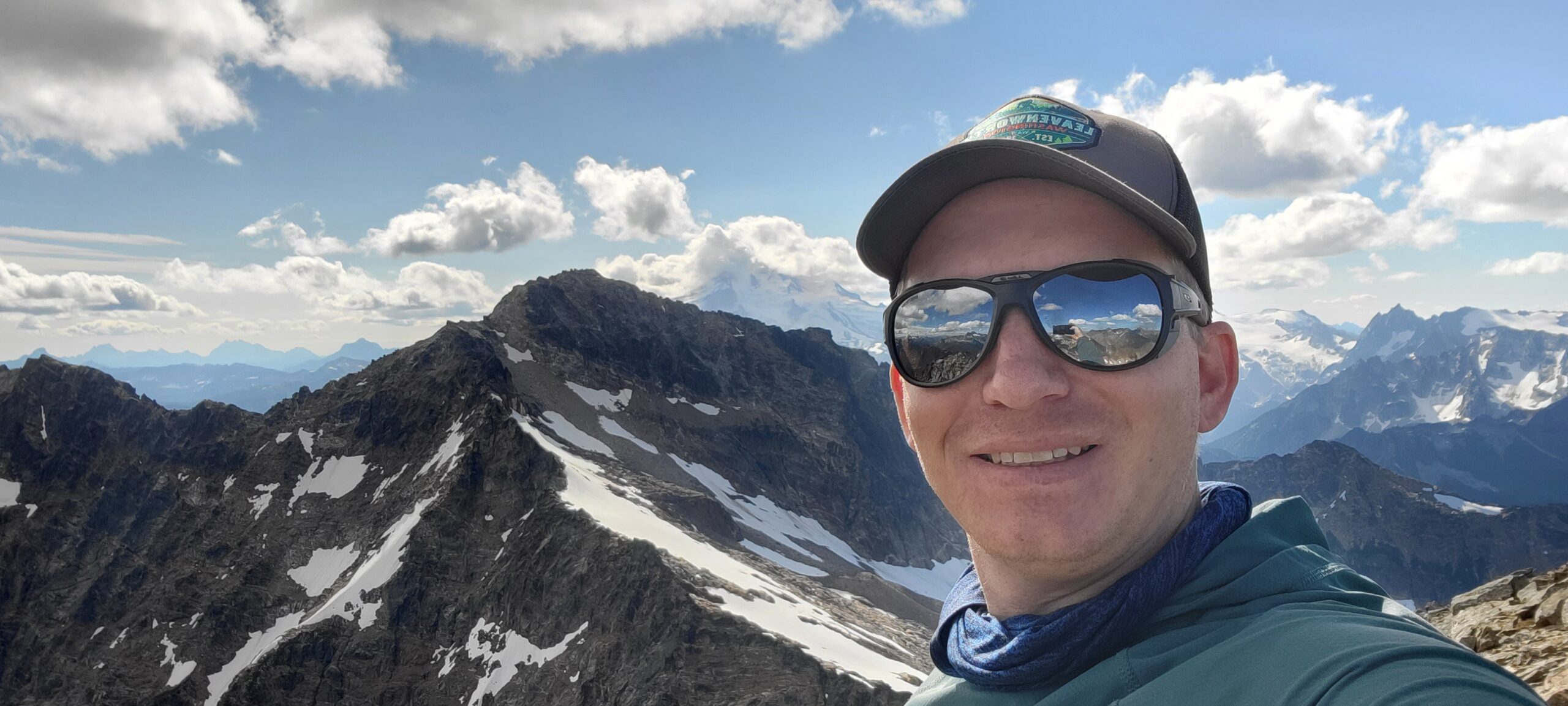
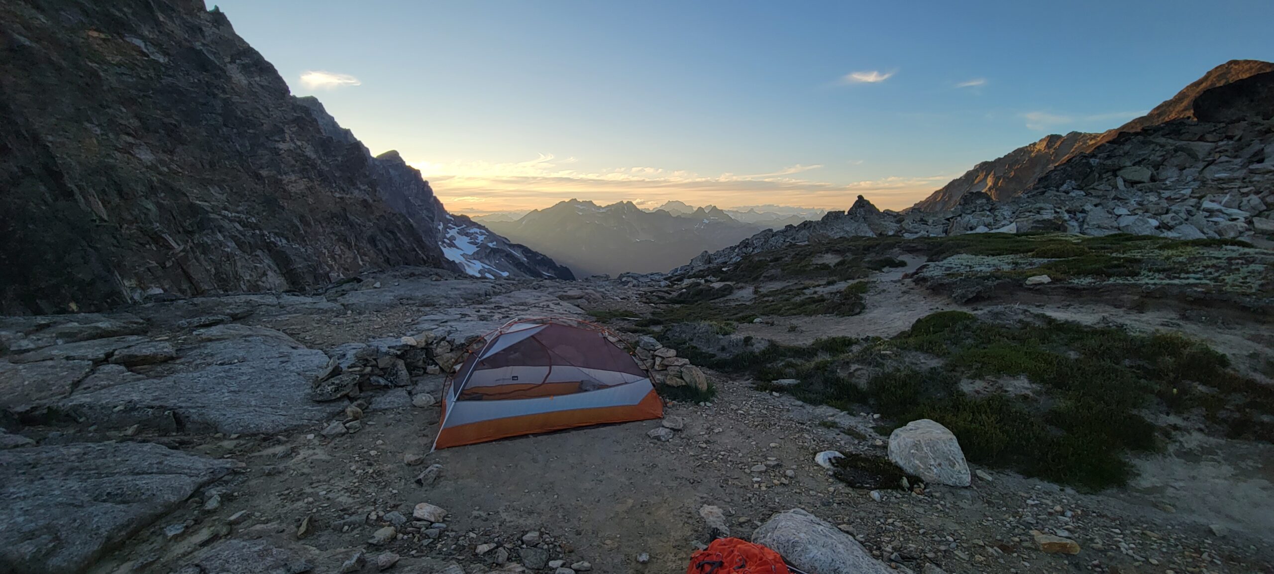
The rest of the way up Chiwawa Mountain (the peak is on the climber’s right) is evident from the creek’s top. Work your way up to around 7200 feet and then traverse over, there is some scrambling, but it is all around class 2. Eventually, you will make it to a large flat space that has, at the time of this writing, several rock walls set up to block the wind for tent sites. I chose to leave my backpack here so that the ascent of Chiwawa Mountain would be faster.
The climb of Chiwawa is fast and easy. There was ample evidence of boot tracks leading the way to the summit. If not for the long approach and unmaintained trail, the peak would rival Abernathy as the easiest Bulger.
I had planned to tackle Fortress Mountain on the same day, but after climbing back down to where my backpack was, I decided to take it easy for the night and enjoy the small col as a camp. I had not seen anyone all day. The sun would set in just a couple of hours, ample water was available, and I could not pass up the opportunity to have a North Cascades sunrise all to myself.
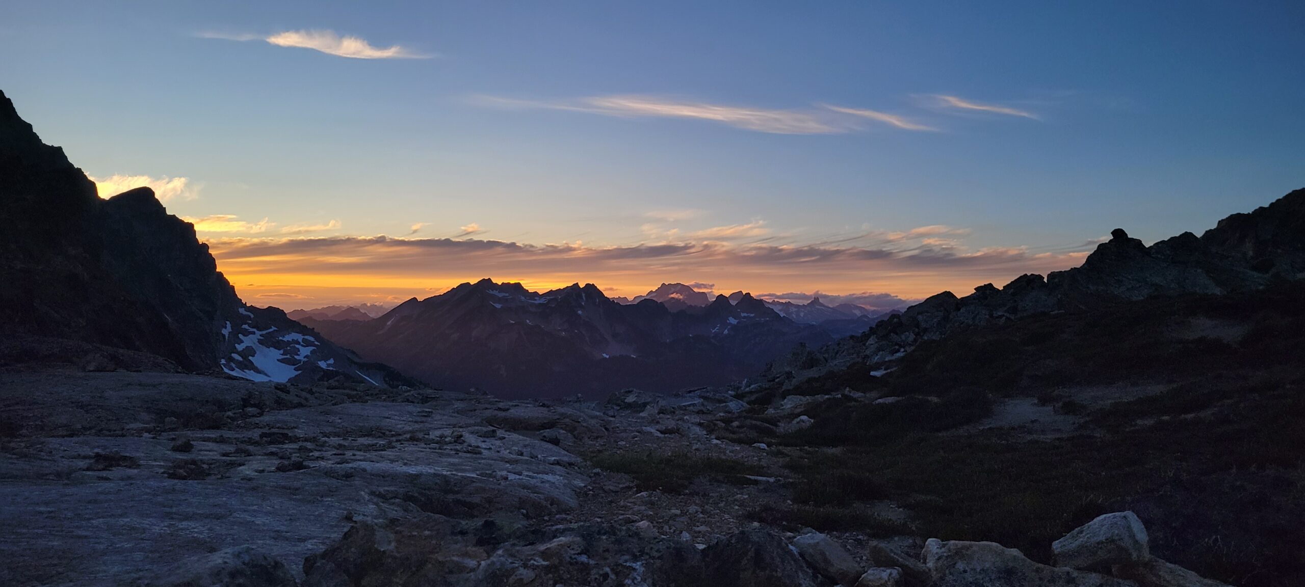
The evening was spectacular. The sky lit up with orange, yellow, and pink colors as the sun fell behind the horizon. There is nothing like being on these solo trips and having that moment in pure silence and really appreciating the beauty.
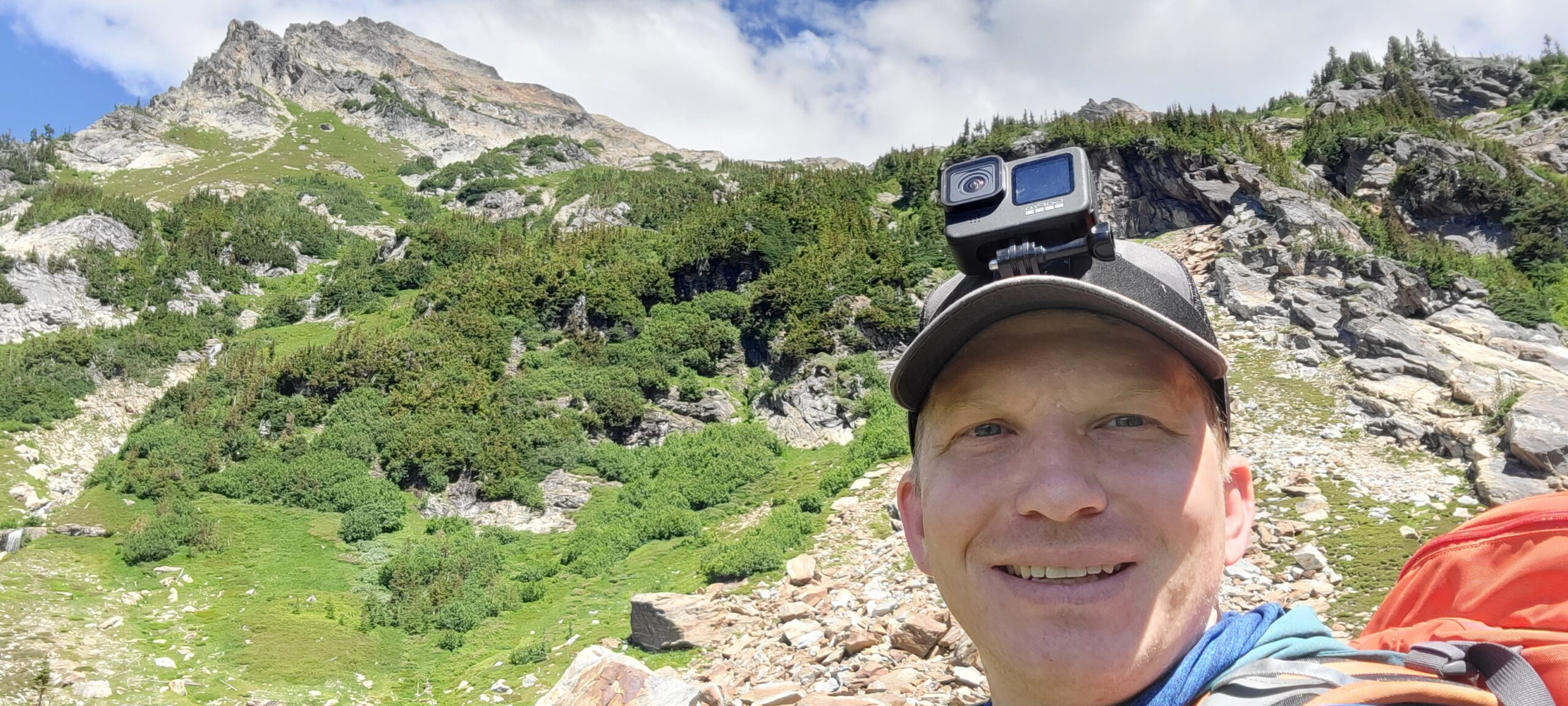
I woke up around 6 am on day two, ready for an adventure, and oh boy, would I get one. Breakfast went by like lightning, and by 7:30, I was on the trail.
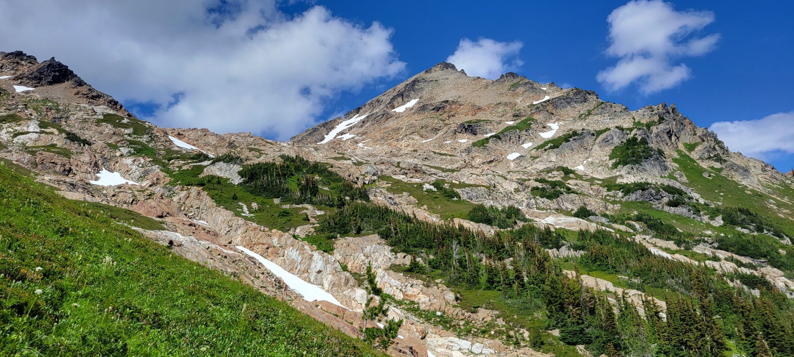
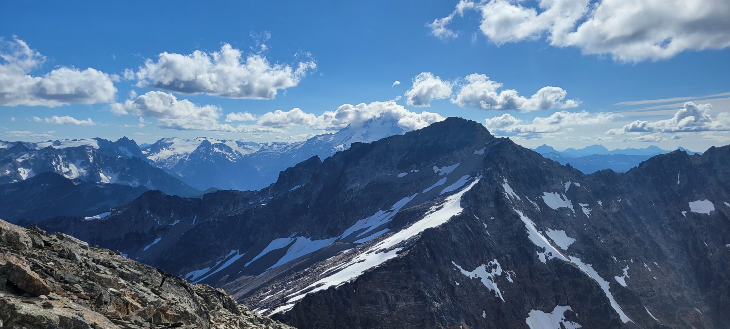
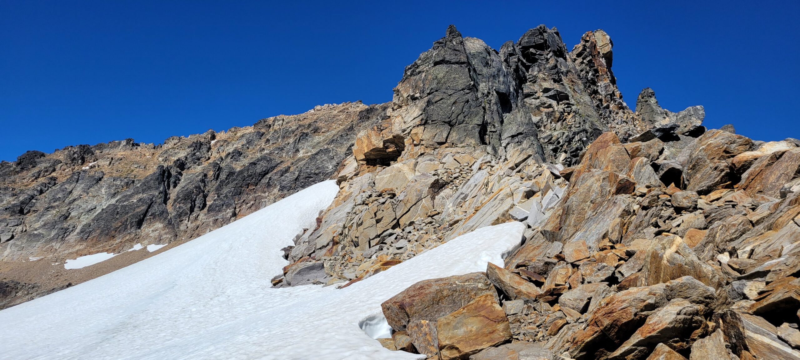
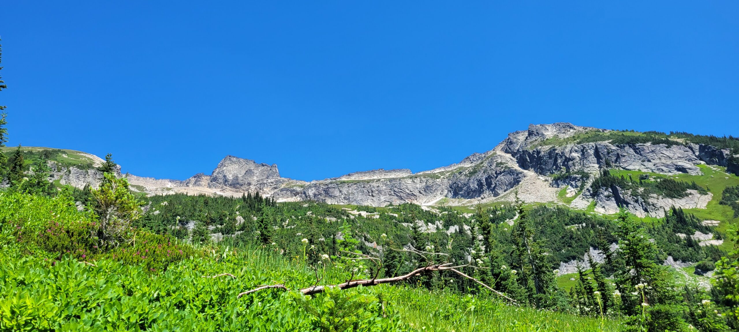
The first section of the traverse over to Fortress Mountain is a nice easy walk across a slope to the base of the gulley leading up to the summit. However, despite every other climb I have done this year being snow-free, a large snowfield stood in my way. Unfortunately, it had frozen solid due to frigid temperatures overnight, and I lacked any traction to get across.
The first section of the traverse over to Fortress Mountain is a nice easy walk across a slope to the base of the gulley leading up to the summit. However, despite every other climb I have done this year being snow-free, a large snowfield stood in my way. Unfortunately, it had frozen solid due to frigid temperatures overnight, and I lacked any traction to get across.
Since my legs were tired from the previous day, I chose not to descend and cross underneath it. Instead, I thought maybe I could make it over the top and save myself some energy. The first bit was easy, hopping over rocks and slipping along a few small patches of snow. Once I reached the ridge at around 8000 feet, I started the traverse.
From down low, it looked like I could make it through a moat forming between the top of the snowfield and the ridge. That was the case for the first 200 feet along it, but it quickly narrowed into an unclimbable mess that kept pushing me to climb out onto the snowfield. Without traction, the steep snow would have been at least an injury nightmare and, at worst, a death sentence.
Dismayed at the idea of retracing my steps and going below the snowfield, I attempted to climb up higher onto the ridge and scramble over it instead of going around it. After about 20 – 30 feet, the section I was ascending became a mess of loose rock. I tried to downclimb, but the hand and foot holds I used on the way up were impossible to reach. Making the situation worse, the 25lb pack I was wearing made it near impossible to follow my route back out.
Luckily, I had brought a rope and some webbing to set anchors in case I needed them along the scramble up to Fortress Mountain. There was nothing obvious to anchor onto for a rappel, though. So, after a few minutes, I realized one rock had a small crack between it and the main wall. I could almost thread the webbing through, but a small amount of sand and gravel was blocking it.
I used my pocket knife to clean the dirt out of the hole to build the anchor. Then I had to tie two pieces of webbing together to make it fit around the rock.
After all of that, to get past the snowfield, I had to retrace my steps and descend several hundred feet to where rocks allowed me to bypass the snowfield altogether. The moral of the story is shortcuts are never short…
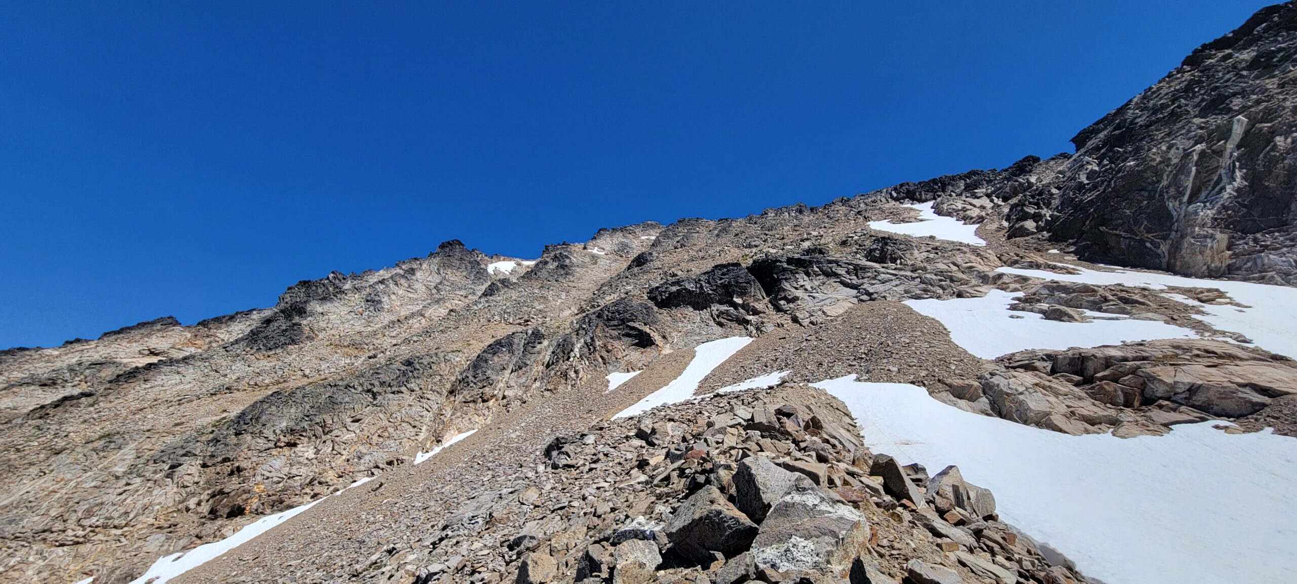
The rock is very loose from the bottom of the main gulley, where you scramble up Fortress Mountain. The scree regularly slides out from underneath your feet. The rocks that looked solid broke off the mountain several times, and the whole experience from the start of the ascent felt very uncomfortable.
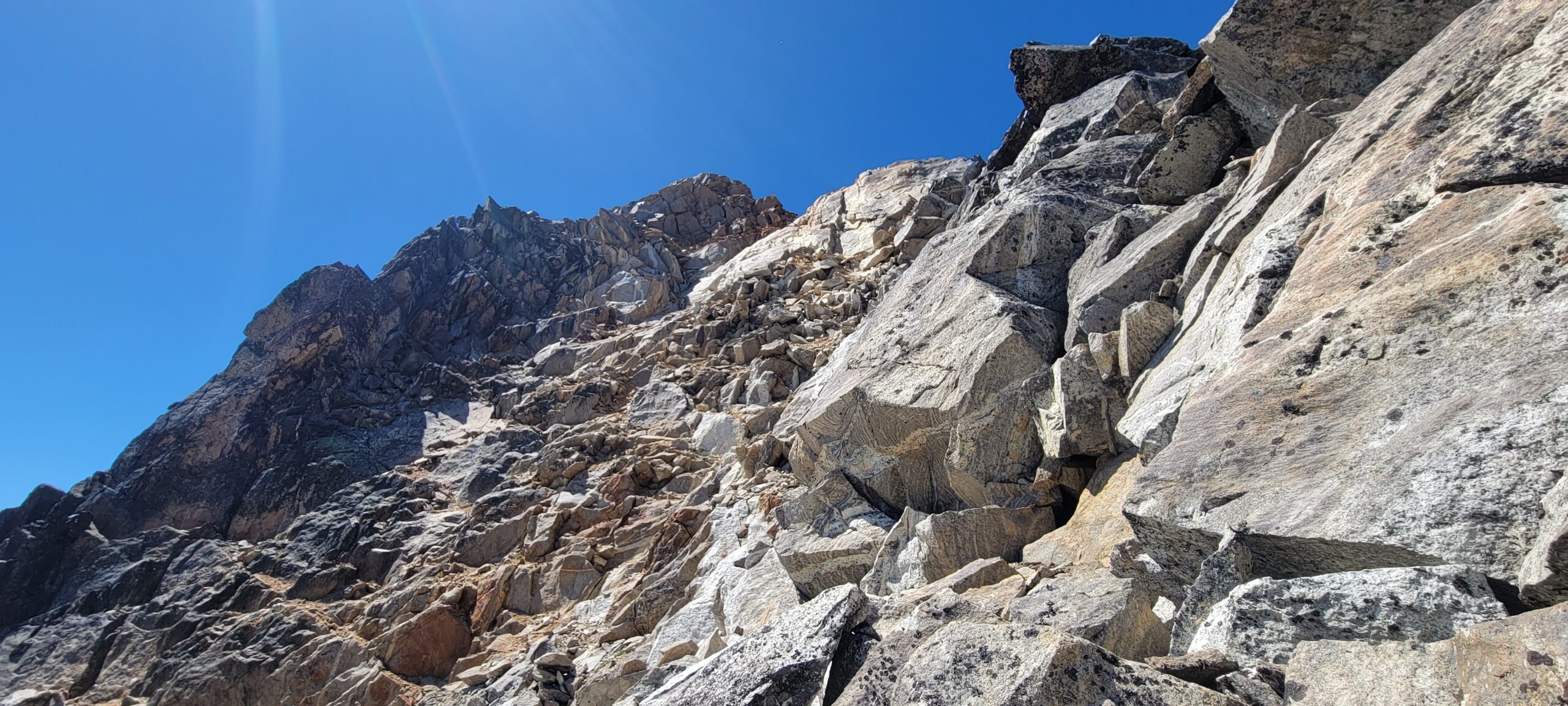
While I was still low in the gulley I saw my first other human of the trip. They were slowly making their way down the gulley and sending showers of small rocks down the hill. I watched them briefly to see their route and aimed to use the same way. I thought I would run into them at some point, but after they disappeared behind a rock outcropping, I did not see them again until they were almost down from the climb and I neared the top. There are a lot of ways you can climb this gulley. Take it slow and watch your footing. Any fall here would be a high consequence.
The last 50 – 100 feet of the scramble was the worst part. There are some very narrow ledges to navigate, covered in sand and loose rock everywhere. I was overjoyed when I finally made it to the top and could walk again.
While it was not the worst scramble I have ever done, I don’t think I would ever do it again. If I had to, I would go up like I did prefer to go up it than descend as the other person had.
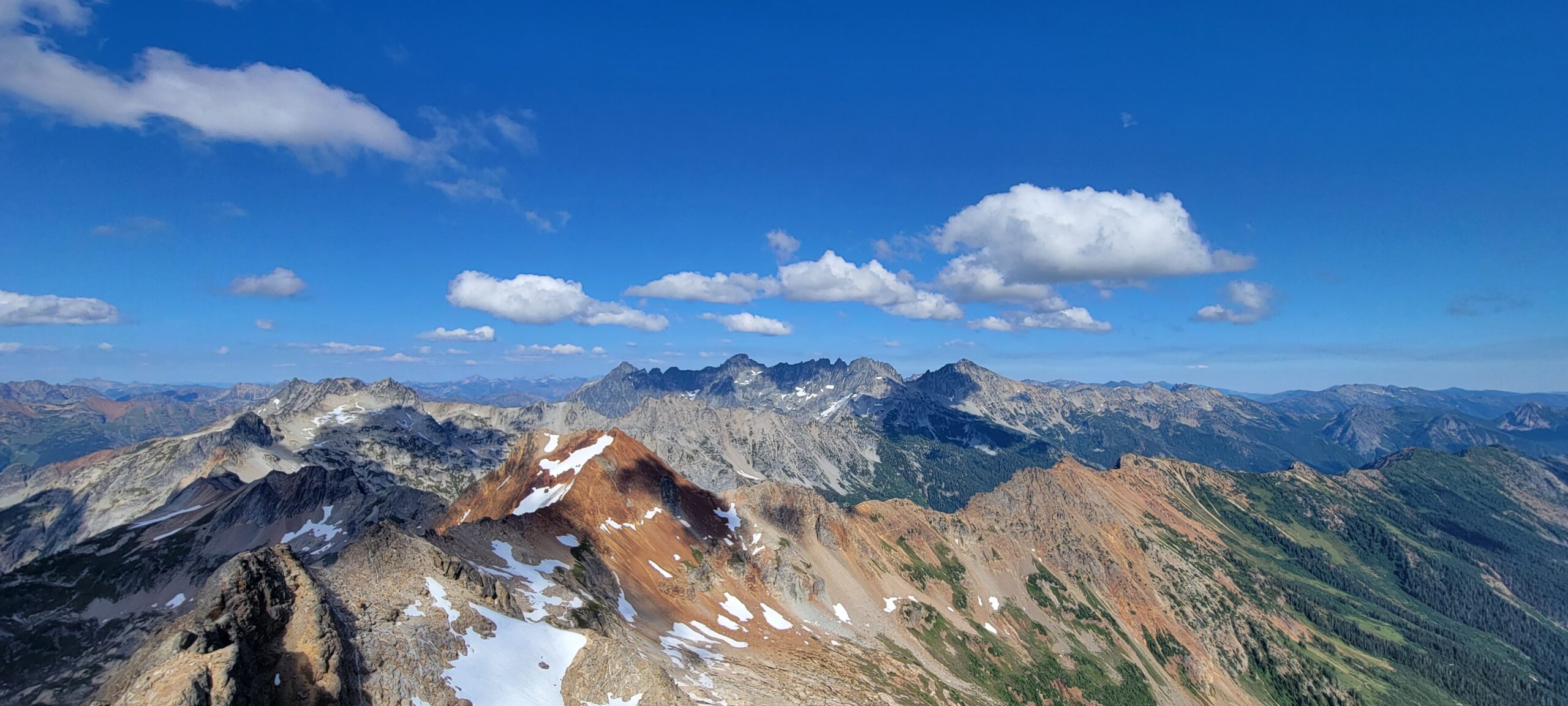
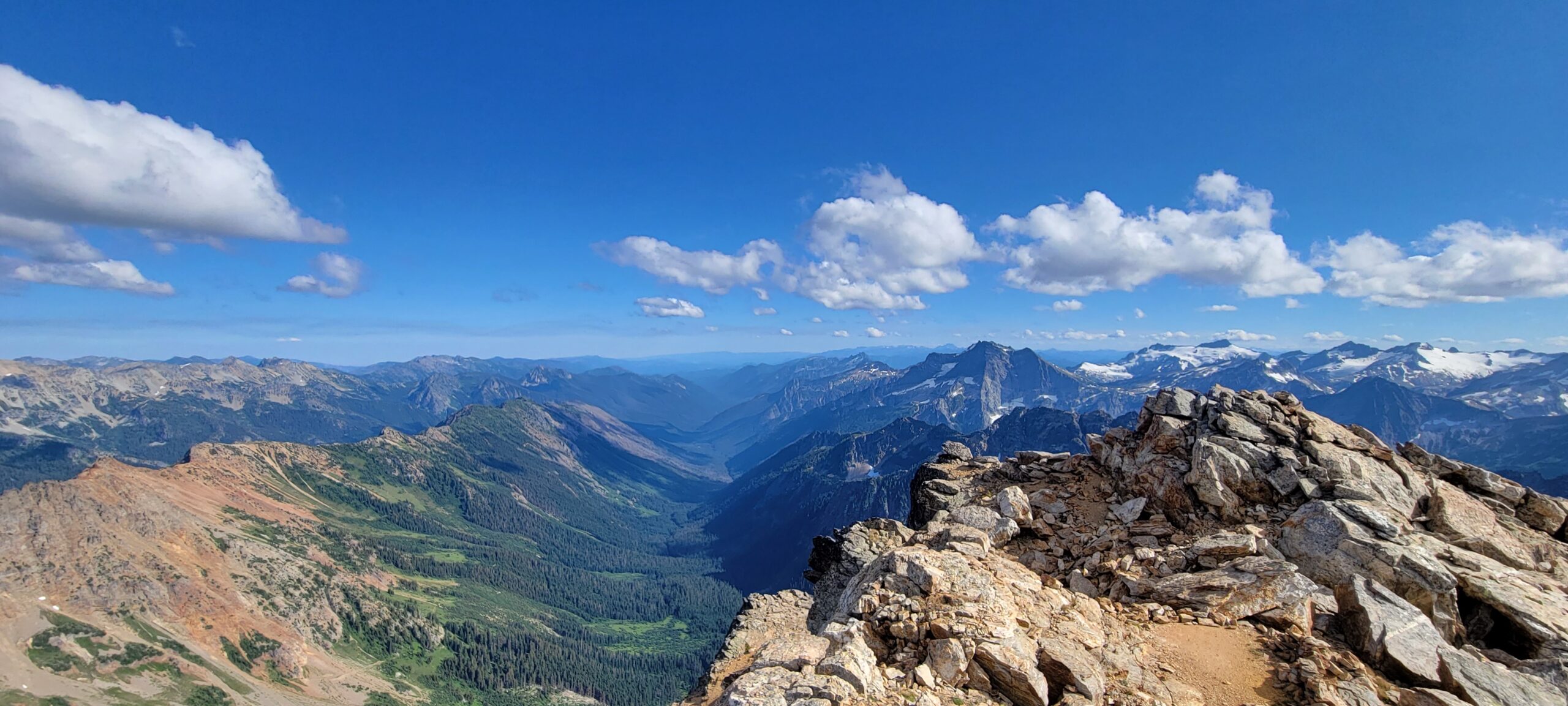
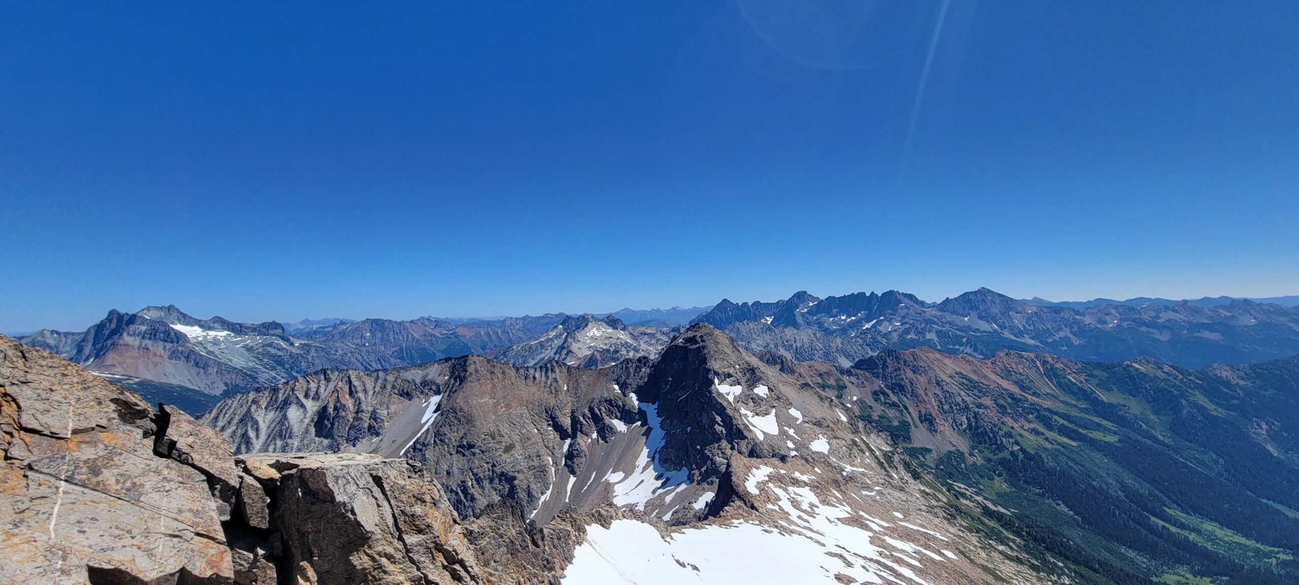
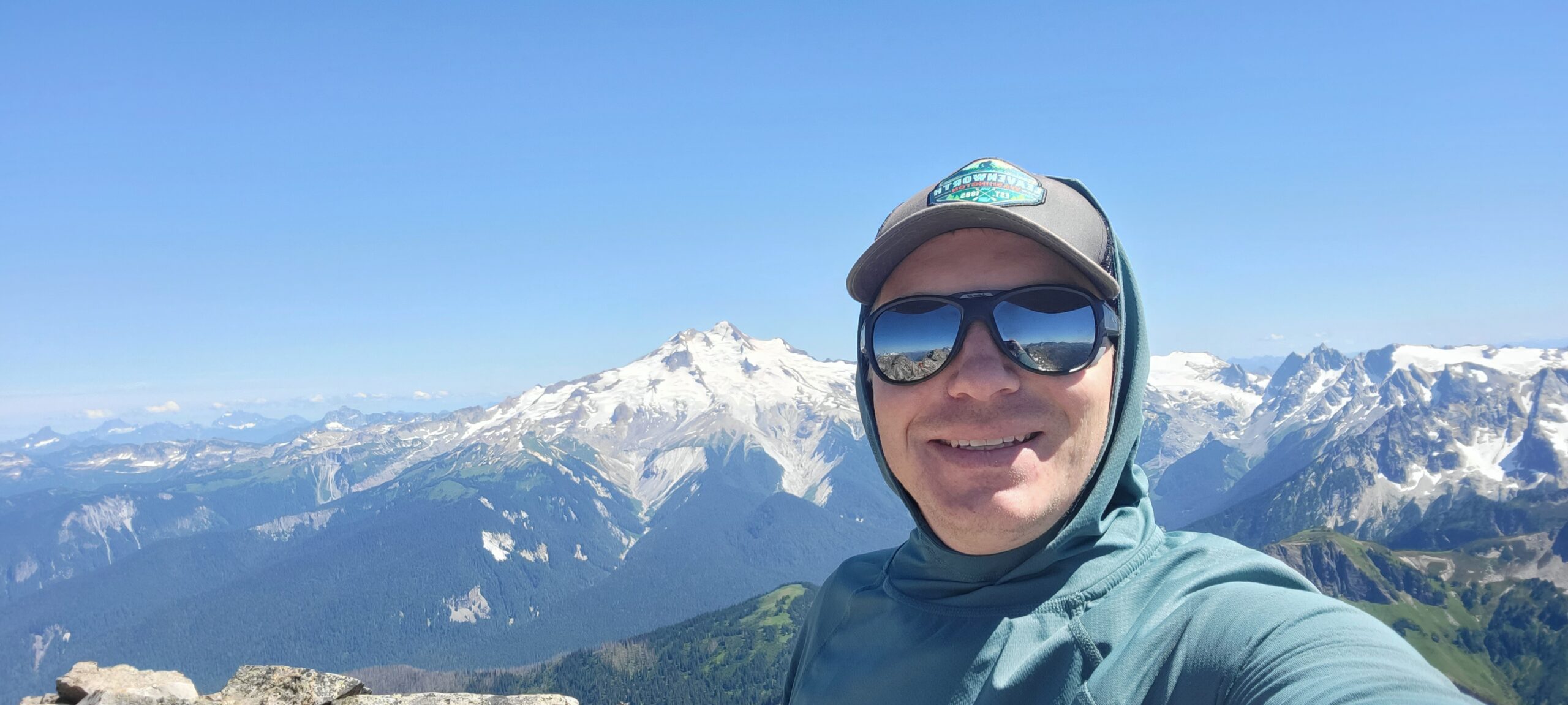
The last walk along the ridge line of Fortress Mountain to the summit is easy, class 2 – 3, with good handholds and solid rock. Being on the summit felt relieving. The ordeal of climbing in the wrong direction and then ascending such loose rock was mentally exhausting. I sat for quite some time eating an orange, chewing on a Snickers bar, and enjoying the view.
The worst part of descending Fortress Mountain to the pass is the meadow that separates the upper mountain from the trail down below. The meadow has several directions you can go, and all of them look steep. The heather and other small plants lining the hill are very slick, and to top it all off, there are patches of trees that look like an inviting walk but end up in cliff bands.
This last ordeal of traversing the two peaks was the least fun part of the whole trip. The only two climbers I spoke with the entire trip on the summit of Fortress relayed to me that they “hoped I would find a better route through the meadow than they had.” I am unsure if I did, but it seems like a disappointing section of this climb for everyone.
I was delighted to reach the Pass No Pass trail, and for the first time in the day, I could walk without having to plan out anything. Short on water, I tried to stop at the first creek I could find. Immediately giant biting flies the size of dimes swarmed me and forced me to walk as fast as possible down the hill to find any other water source.
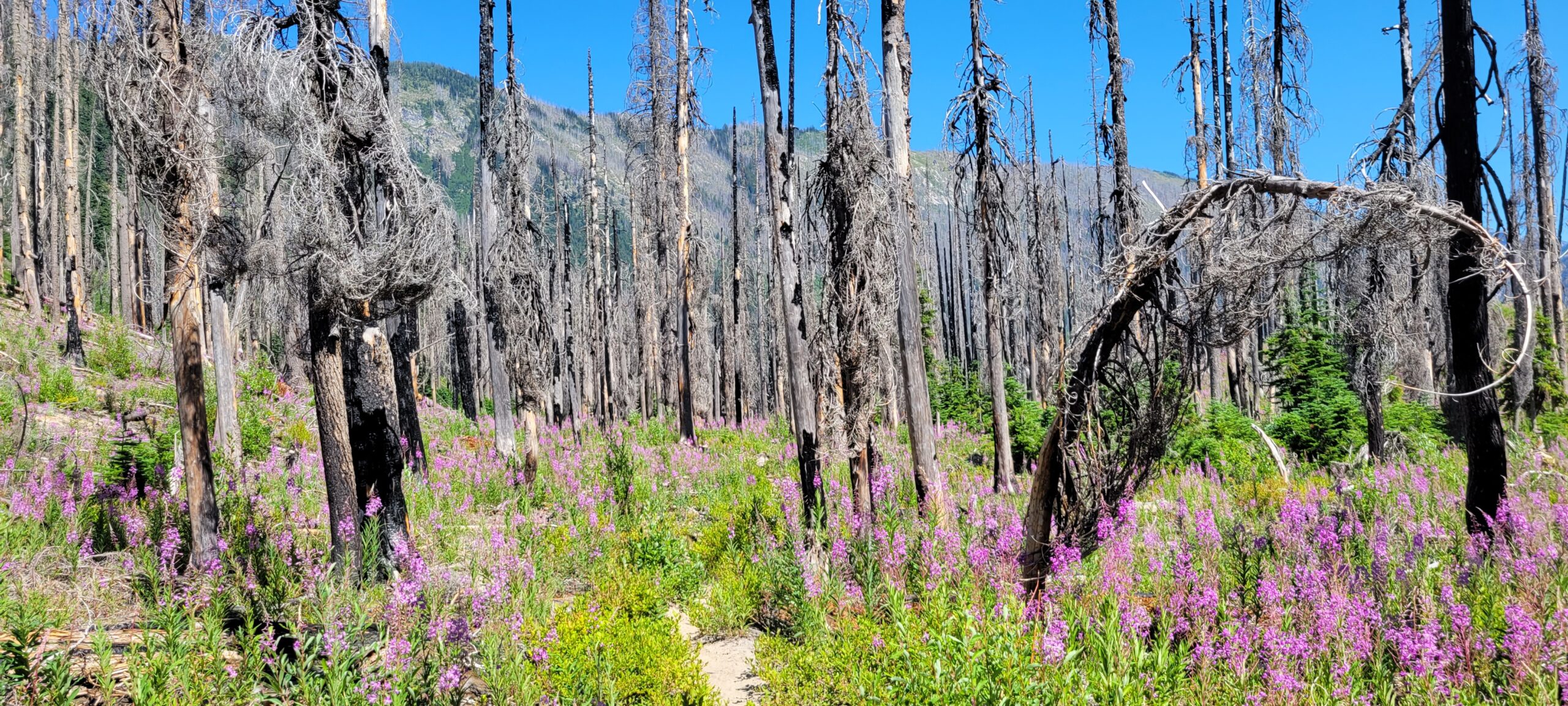
I ran for the parking lot after getting my bladder full of water. I made 3 miles per hour the entire way out on Buck Creek trail. The whole path is easier to follow than the Chiwawa River trail despite several burn areas has surprisingly few blowdowns to navigate.
This is a challenging route by any standard. But it is worth it. The views are outstanding. There is ample solitude, and the climbing is a challenge. But I don’t think I am ever going back up. One time up Chiwawa and Fortress Mountains was enough for this climber.
Two more Bulgers Down.