


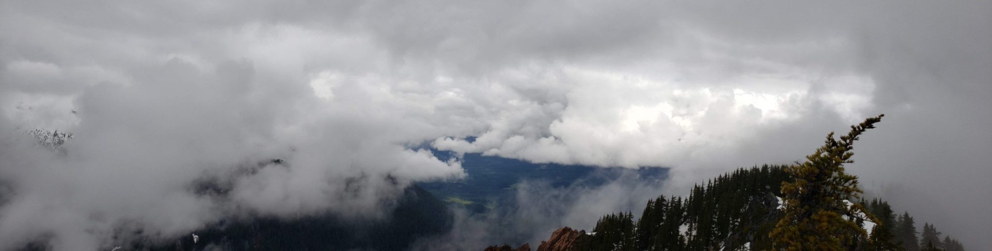
Jumbo Mountain was a thorn in my side for a solid 5 months. When I first started thinking about climbing it, it was winter, and I read that may make the climb easier. Since it isn’t a big peak and seems to have a pretty straightforward route to the top I figured I would give it a shot. My first three attempts, all in snow, did not go well. So for what was my final attempt I waited for the height of summer to take it on.
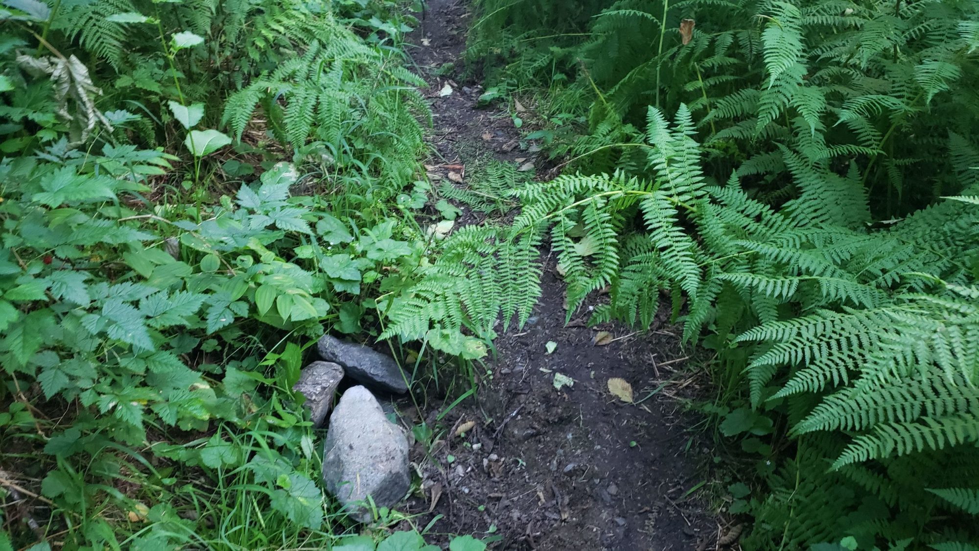
The day started off easy enough since another party (which I would later run into) had left a ribbon tied around a bush marking the start of the trail. Even if this isn’t there, about 200 feet before the prominent creek bed there is a pile of stones on the left side. I stacked those there to mark my trail back in March and they were still piled so they may provide a marker. Either way, finding the correct spot to go up is crucial. I have also marked it on the GPX I provided at the coordinates 48.20829, -121.62880
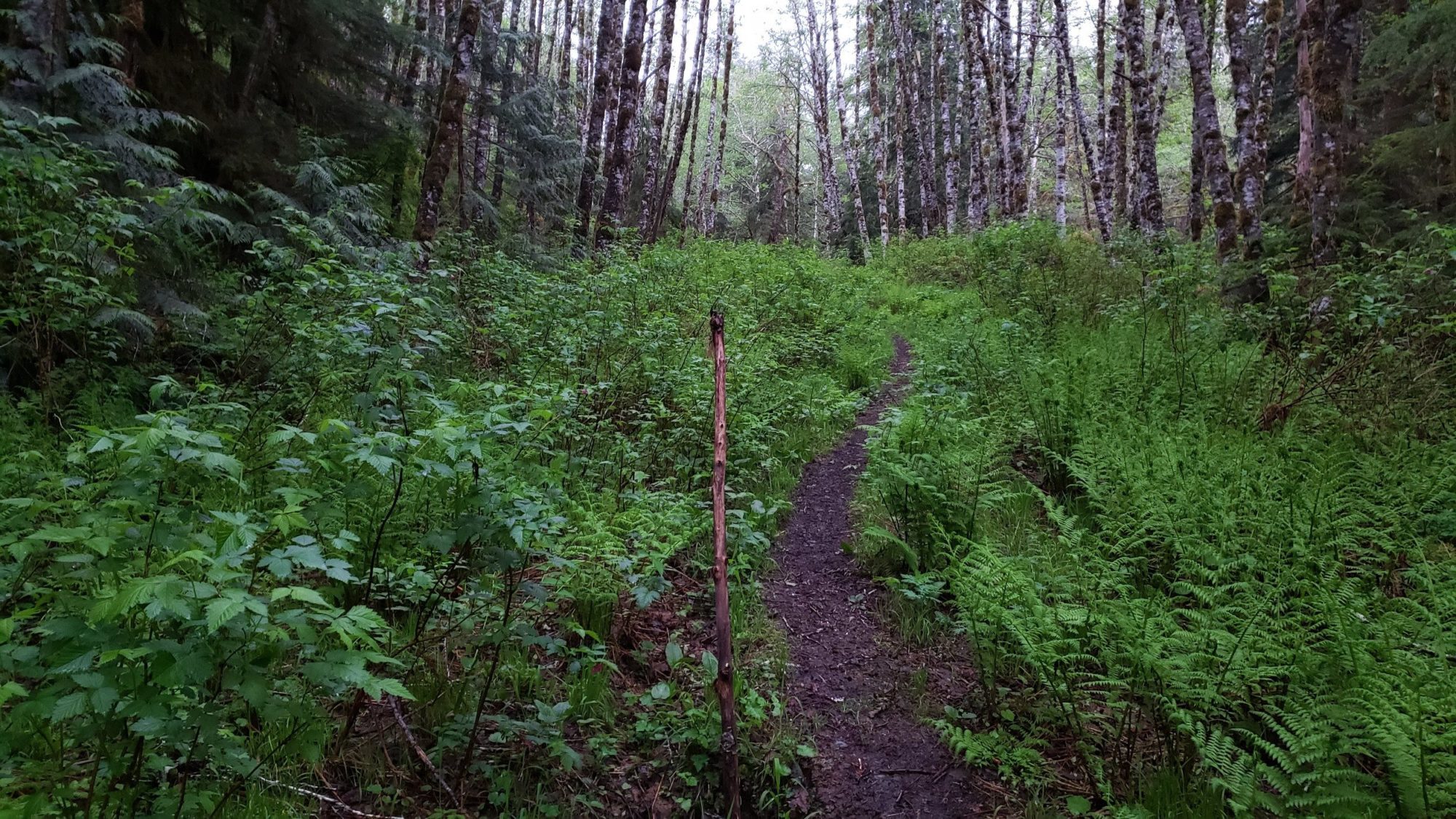
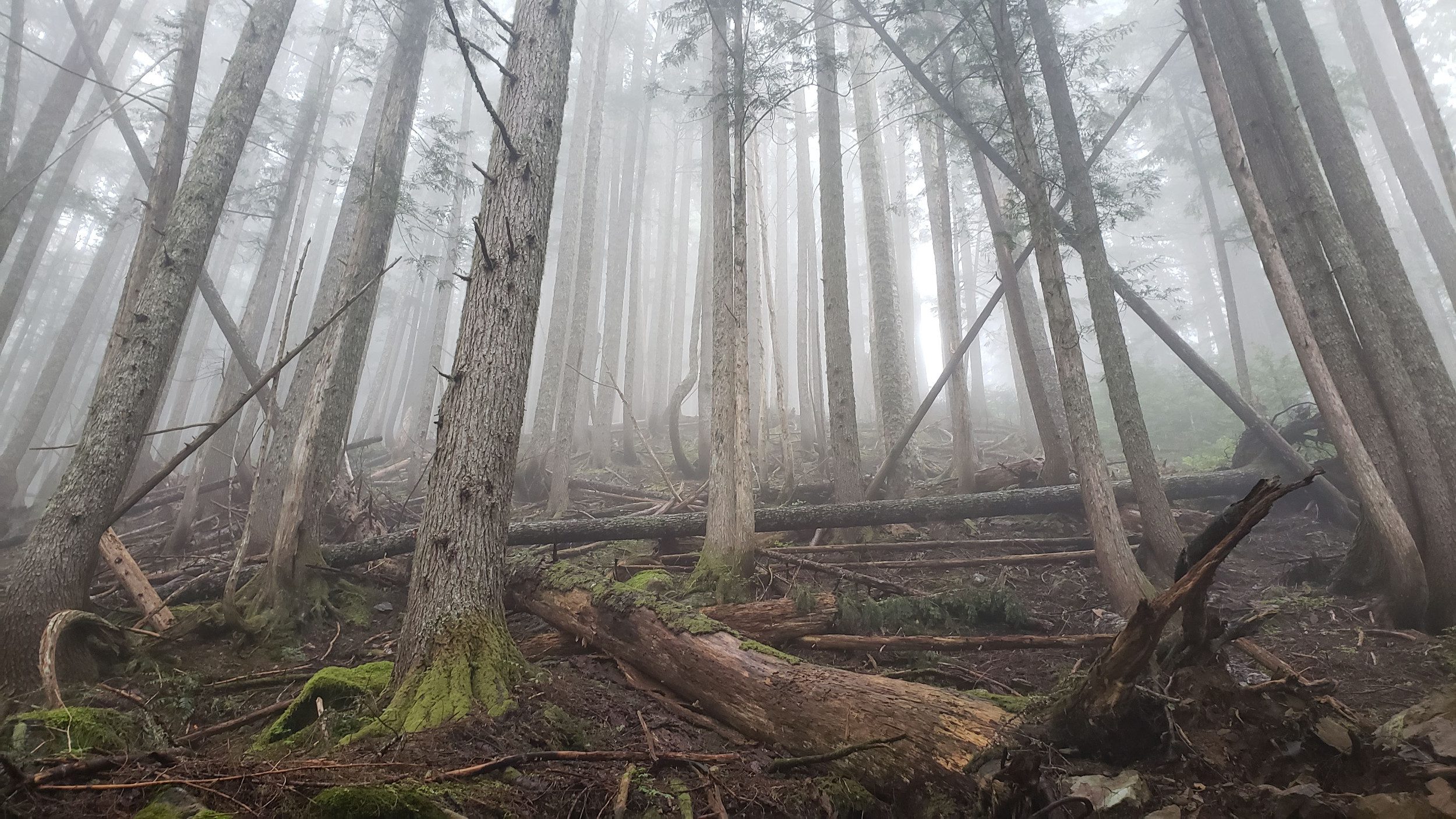
Once into the woods, there is a very faint climbers trail that will lead you straight up the side of Jumbo Mountain. You may not be able to find it at first, but in general stay to the left and on the crest of the hill.
On one of my adventures here (early spring), I wandered too far to the right. If you end up in the creek bed there is a 40-50 foot waterfall you will encounter. To bypass the waterfall on that occasion I had to scramble some very wet slabby rock. The slabs I scrambled due to following creek bed was dangerous and not recommended. Keep to the left and on the ridge crest the best you can.
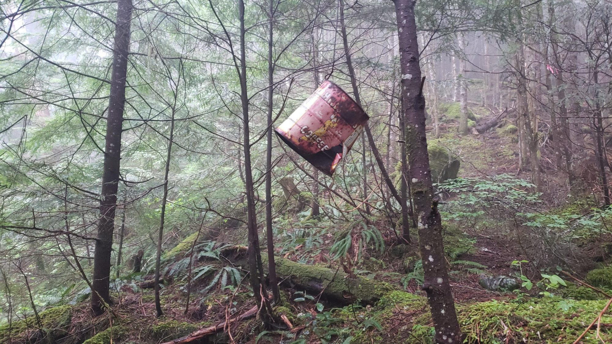
Work toward the next marker that I made on my GPX at 48.20736, -121.62112. If you can get to that coordinate, you will see a coffee can hanging from a tree. Underneath it, the trail is clear and easy to follow. Work your way ever upward until you reach about 3,550 feet where you need to exit the woods into a wide gulley.
Walk straight across the gulley from where you exit the woods. DO NOT GO UP THE FIRST GULLY, IT WONT GO WELL.. There will not be an obvious trail, the brush is thick, and in spots, you can barely stand on the steep hillside. Try your best to keep the traverse level otherwise you will come out too low in the next gully.
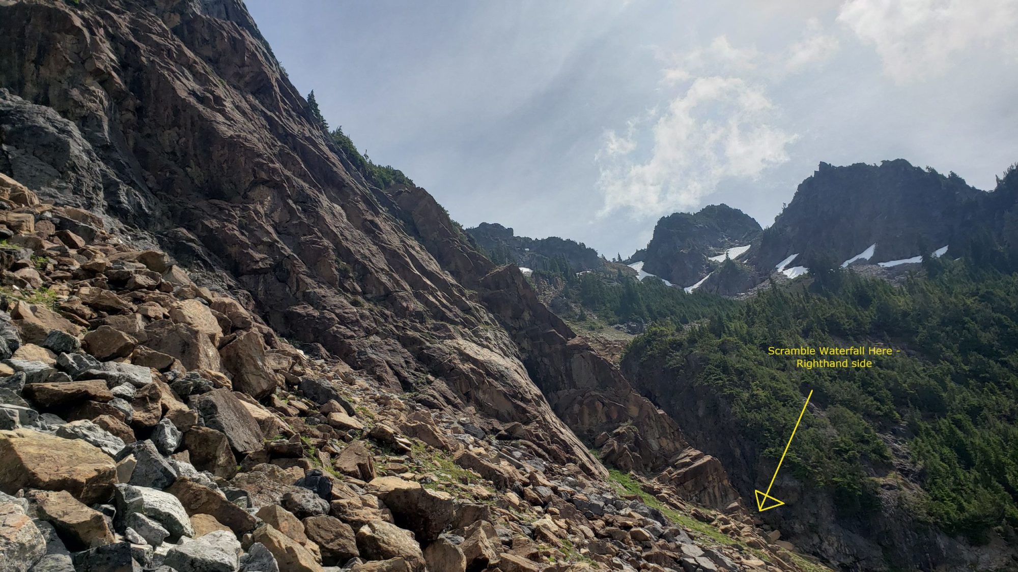
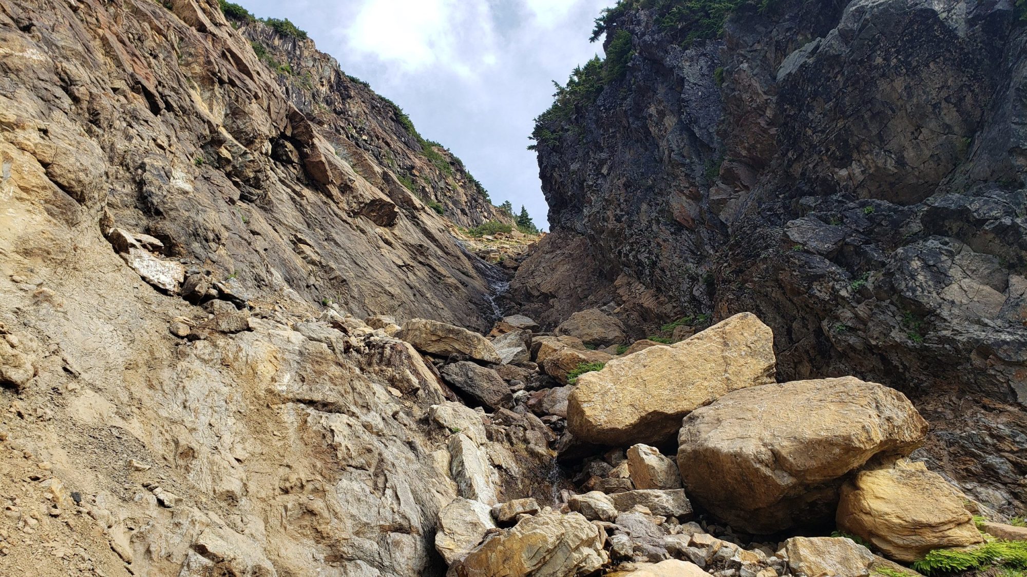
Once you exit into the 2nd wide prominent gully, you can look up and see a band of cliffs at the top. Work your way toward them on the very loose scree and talus. I felt lucky on this section to be solo since I was kicking all kinds of stuff down the gully. Due to several areas like this, I would say Jumbo Mountain is best with a small party. Work your way up to 48.20385, -121.60685. At this point you will once again need to traverse across the face of the peak and work your way into the final gully.
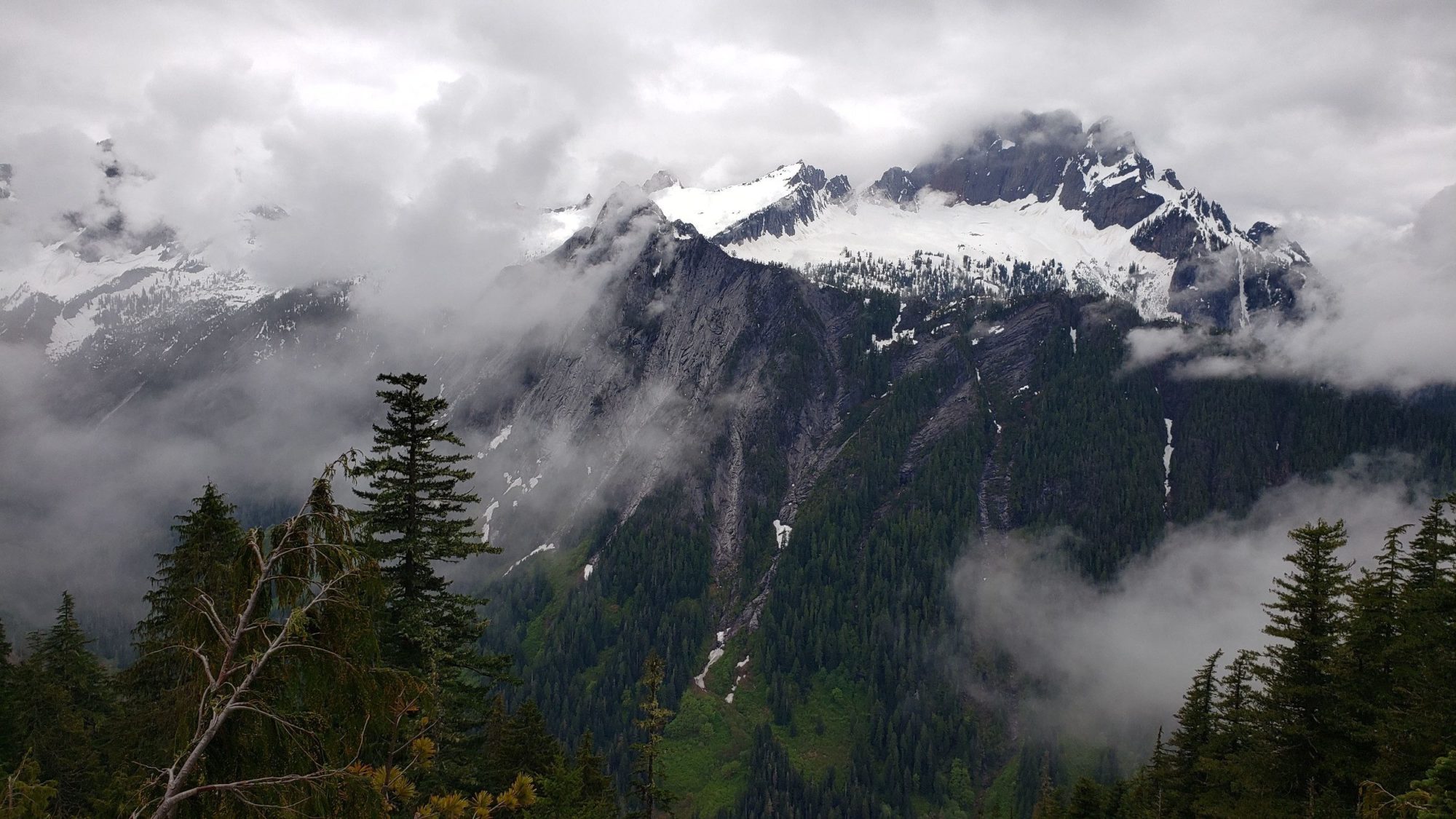
I had only seen pictures of this final section with snow on it, so, when I entered I felt confused. The waterfall running down the center looks difficult to navigate from afar. At first, I tried to climb up the left-hand side and over the top of the falls. Do not go this way especially if wet. The slabby rocks are slick and dangerous. Instead, if there is no snow, and water is low enough, go directly to the bottom of the falls. The rock on the right-hand side was easy to scramble and only had one difficult move near the top (~ class 3+).
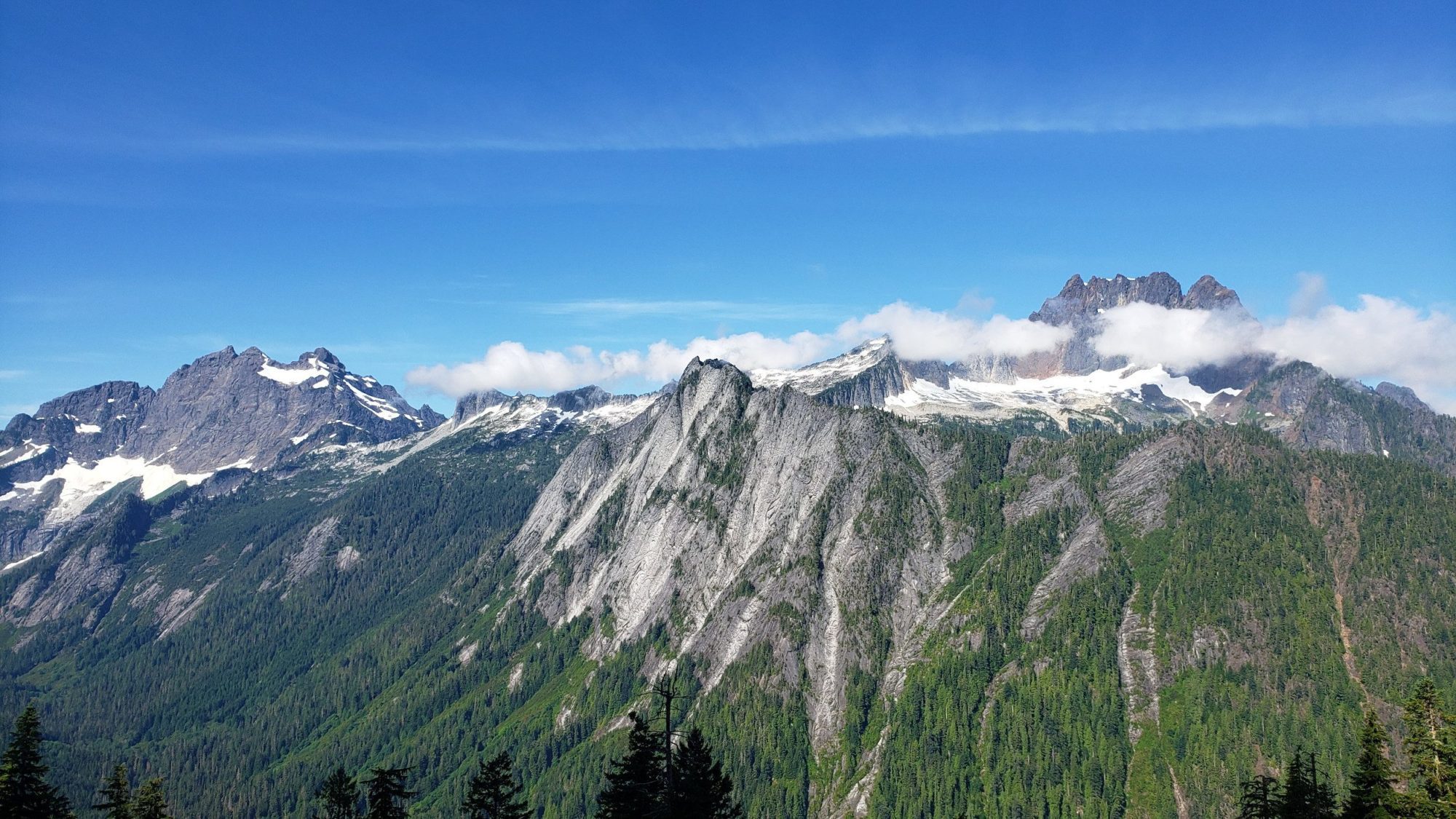
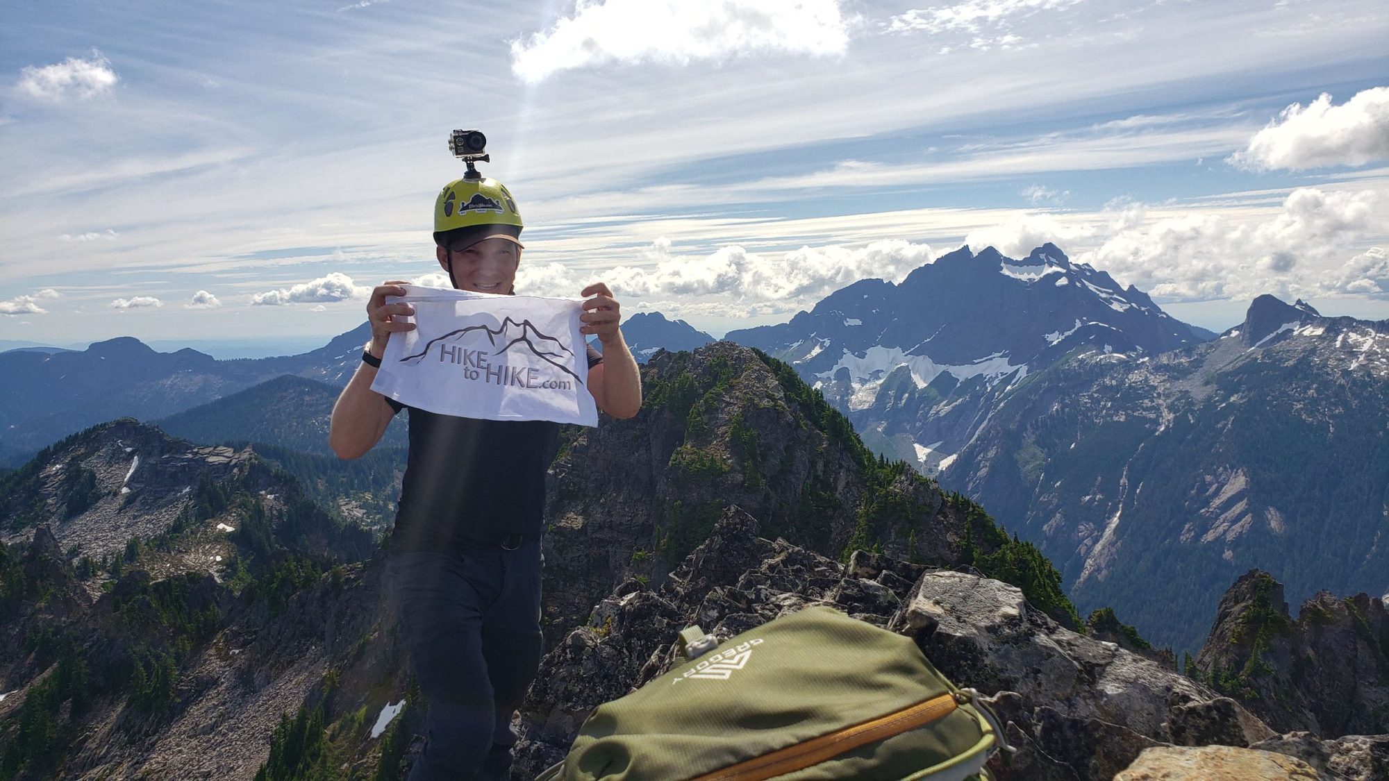
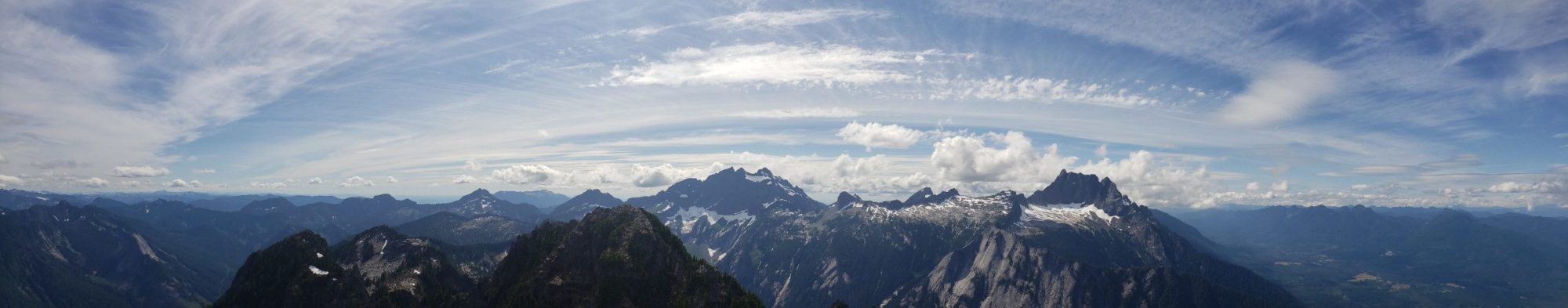
Finally, after cresting the waterfall the day gets easy for a few minutes. Work your way up into the large basin and you will be presented with 4 summits. The one you want is kinda in the middle of the basin. Work your way up to the gap between the actual summit and the one to your right. the pass is at 48.19494, -121.60113.
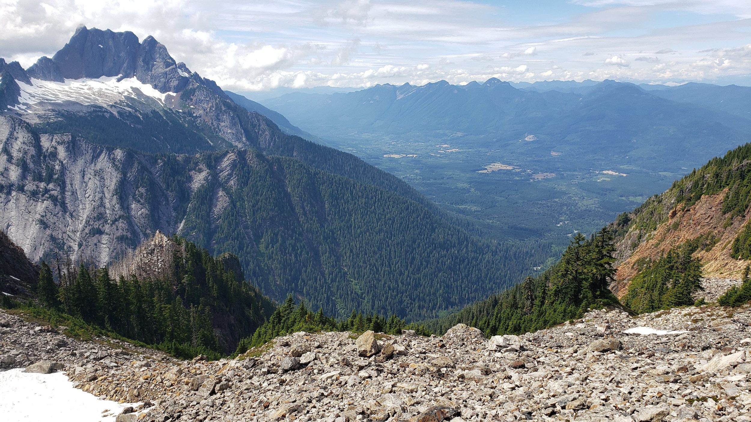
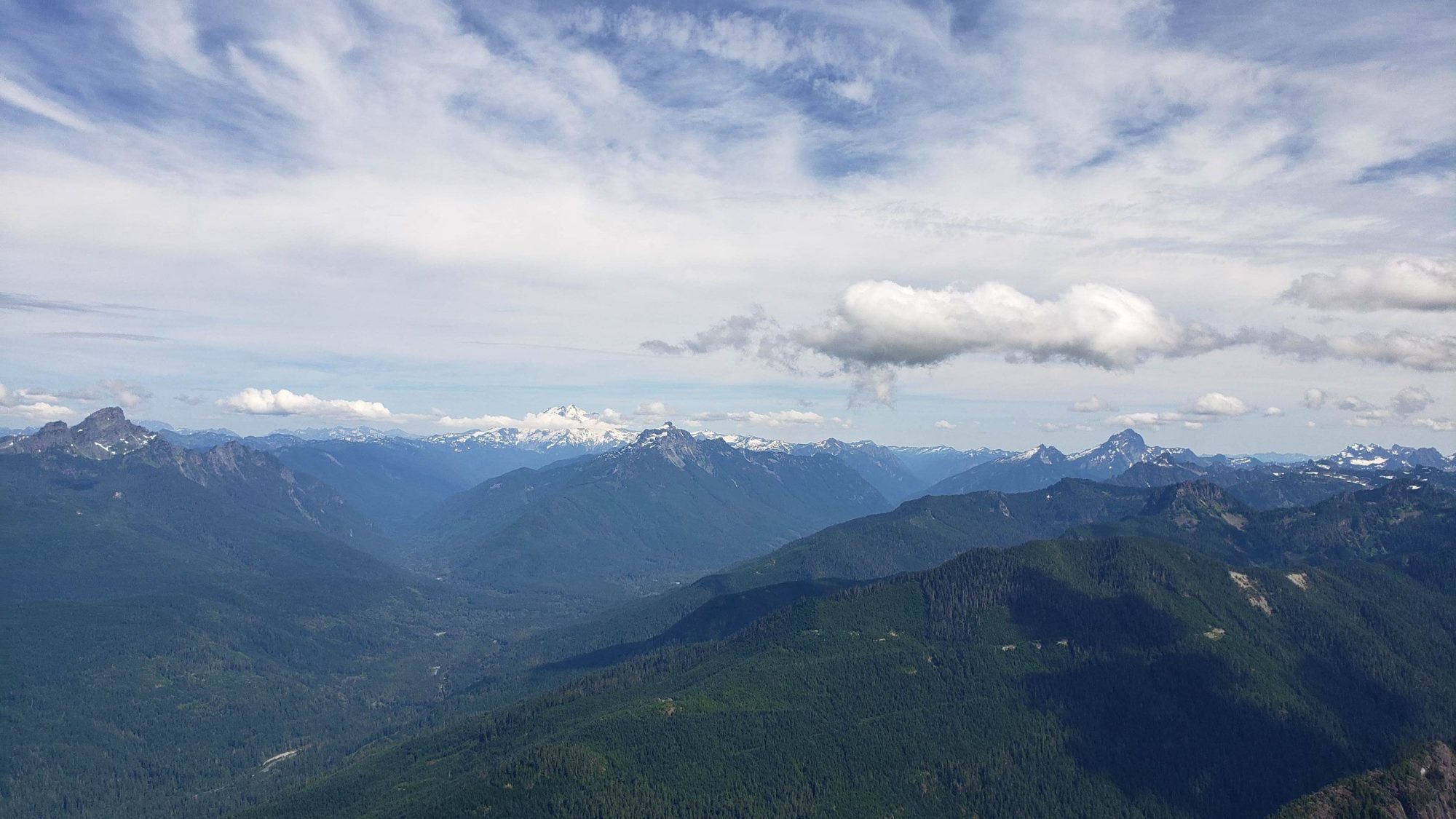
From here a left-hand turn and some class three scrambling will take you to your goal. The worst part is the exposure on the east side of the peak. Not sure how high it is, but, it feels like 2000 feet of air.
As I write this, I am realizing how easy the directions might sound. But, if you plan to climb Jumbo Mountain be ready for a brutal peak. The bushwhacking is fierce, the gullies are loose and the climber’s trail doesn’t exist.
In the few hours I was up here on my final attempt, I ended up with 22 bruises on my legs. I also spent 2 days pulling 36 slivers out of my hand due to grabbing some devils club as a veggie-belay when I slipped. Do not underestimate the brutality of Jumbo Mountain.
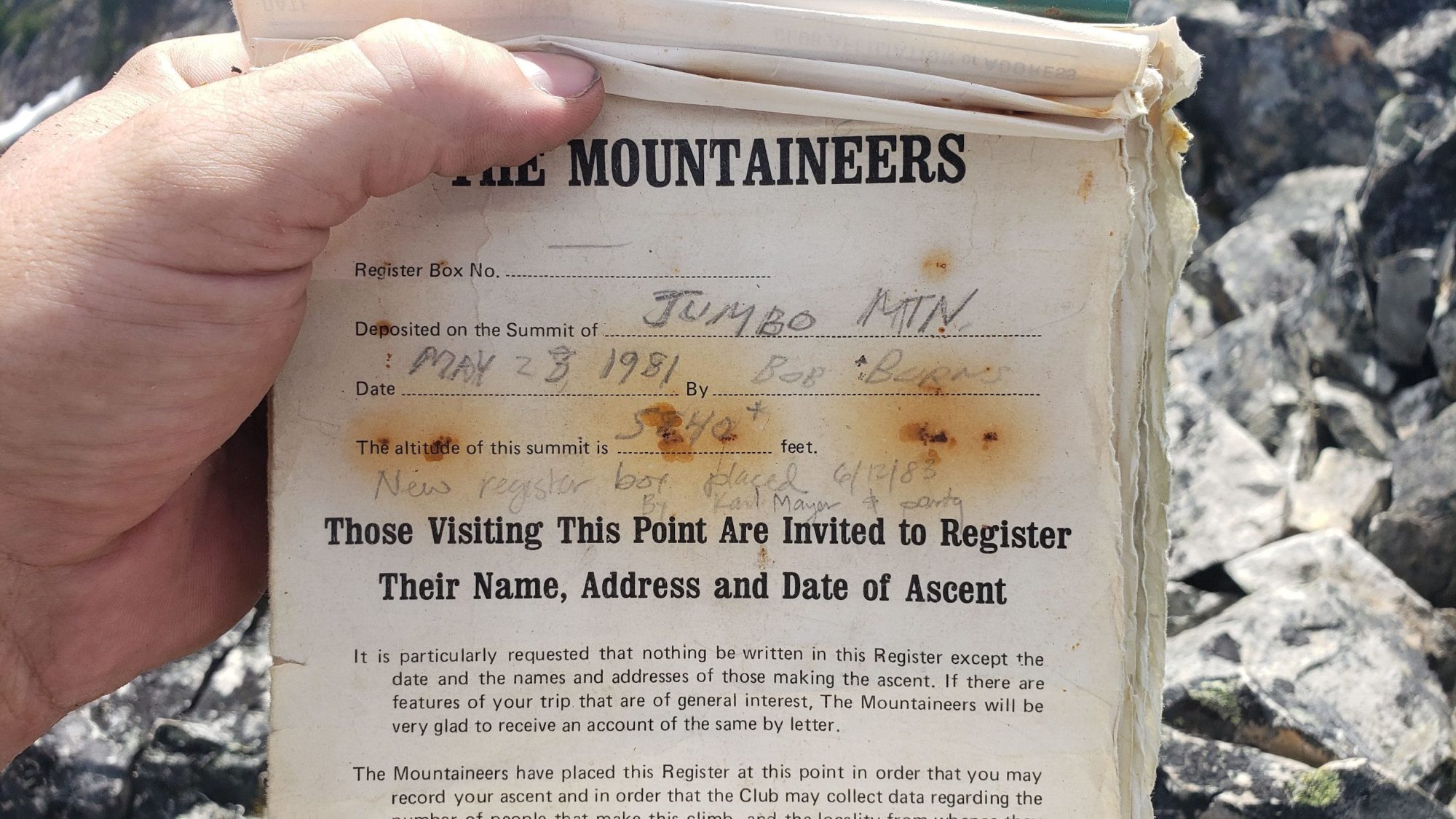
There is a reason that the summit register has not filled up in the 40 years it has been there. The only reason I took it on was to finish the Mountaineers Everett Peaks. I can unequivocally say I am never going back up there again. One and done…