I was in need of a good climb after the dreadful winter weather that we have been having. Mount Stickney was the easiest peak I could find access to. Since the weather looked spotty everywhere else I figured I would go ahead and give it a try.
The climbing route for Mount Stickney does not have a parking area. Instead, one must use the shoulder of Sultan Basin Road. When I arrived at the area where I could park, there was already a young pair of men standing outside of their car.
Against my hope they waved me down to ask if I would jump their car. Their story made no sense, but, they looked like a couple of teenagers that had been smoking pot all night. After jumping their car, I waited until they left. Despite them seeming harmless I wanted to make sure they left before leaving my car. By this time the sun had come up, and I was already behind my plan by an hour.
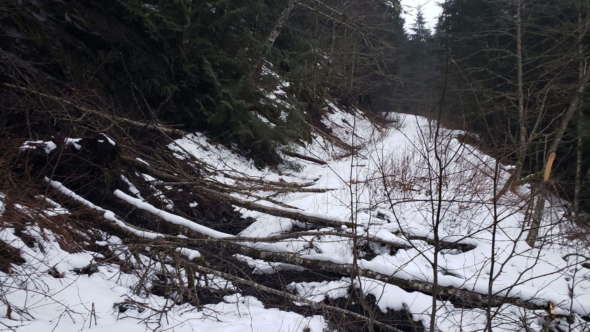
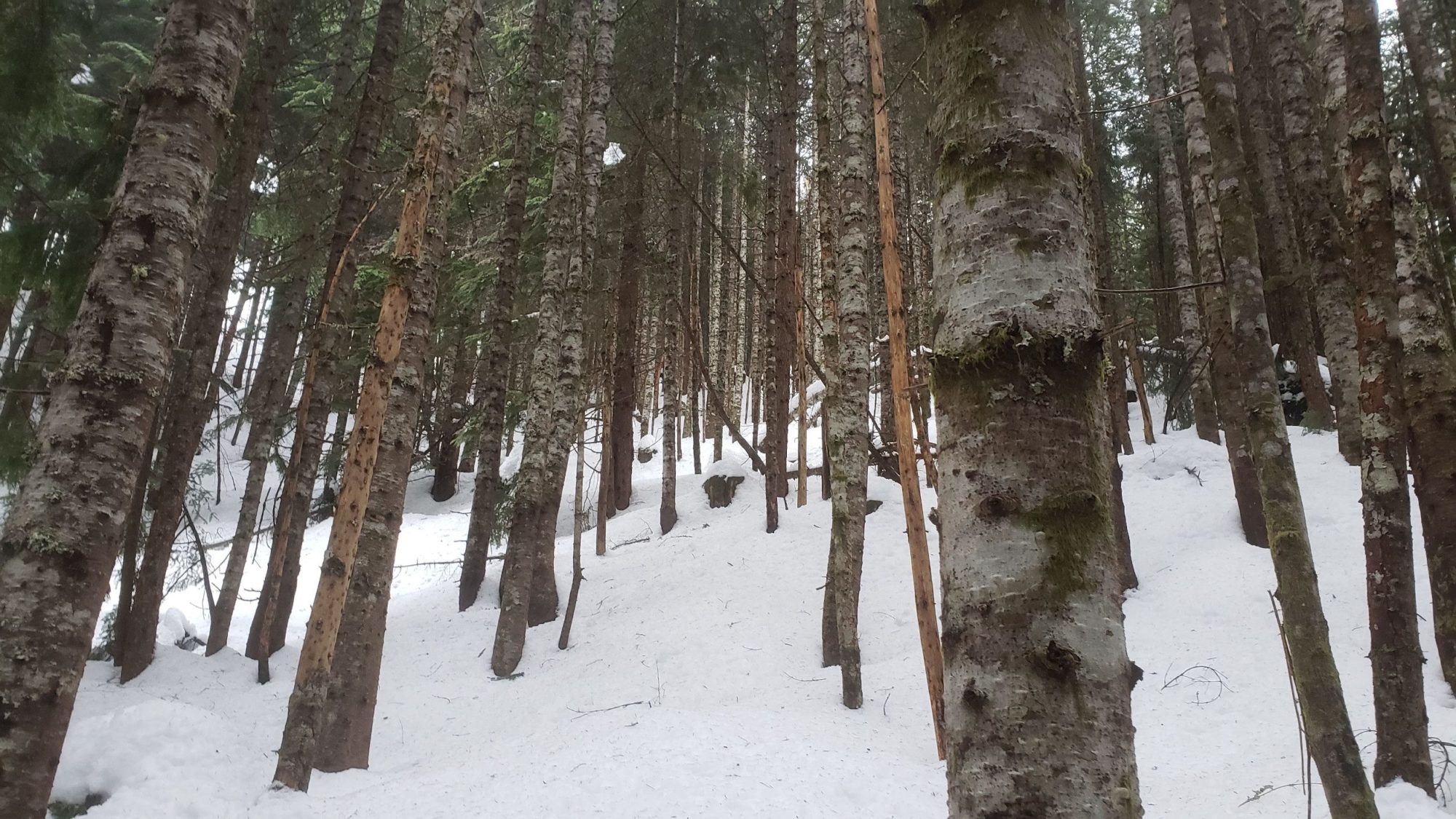
The first 2 miles of road were easy to navigate through covered in snow. My issue came where the first turn in the road is. I felt I knew better, but the road drawn on the Gaia map is off from where it actually lies. Due to this I continued past the bend in the road that takes you uphill. After about a mile, I realized that I was in the wrong place. At this point I felt like my choice was to go home or see how far I could get. From studying my map I noticed that the 680-foot hill in front of me led straight to the road I needed to be on. Back On The Right Track
While I gave the hill a shot I would not recommend it as a possibility. The hill is steep and covered in blow downs. Add in the fact that the blow downs were covered in snow and it added up to a painful 2 hours of stepping in holes. Instead follow my map of the complete route and stay on the right road. If you are curious what the wrong route looks like, you can see it here
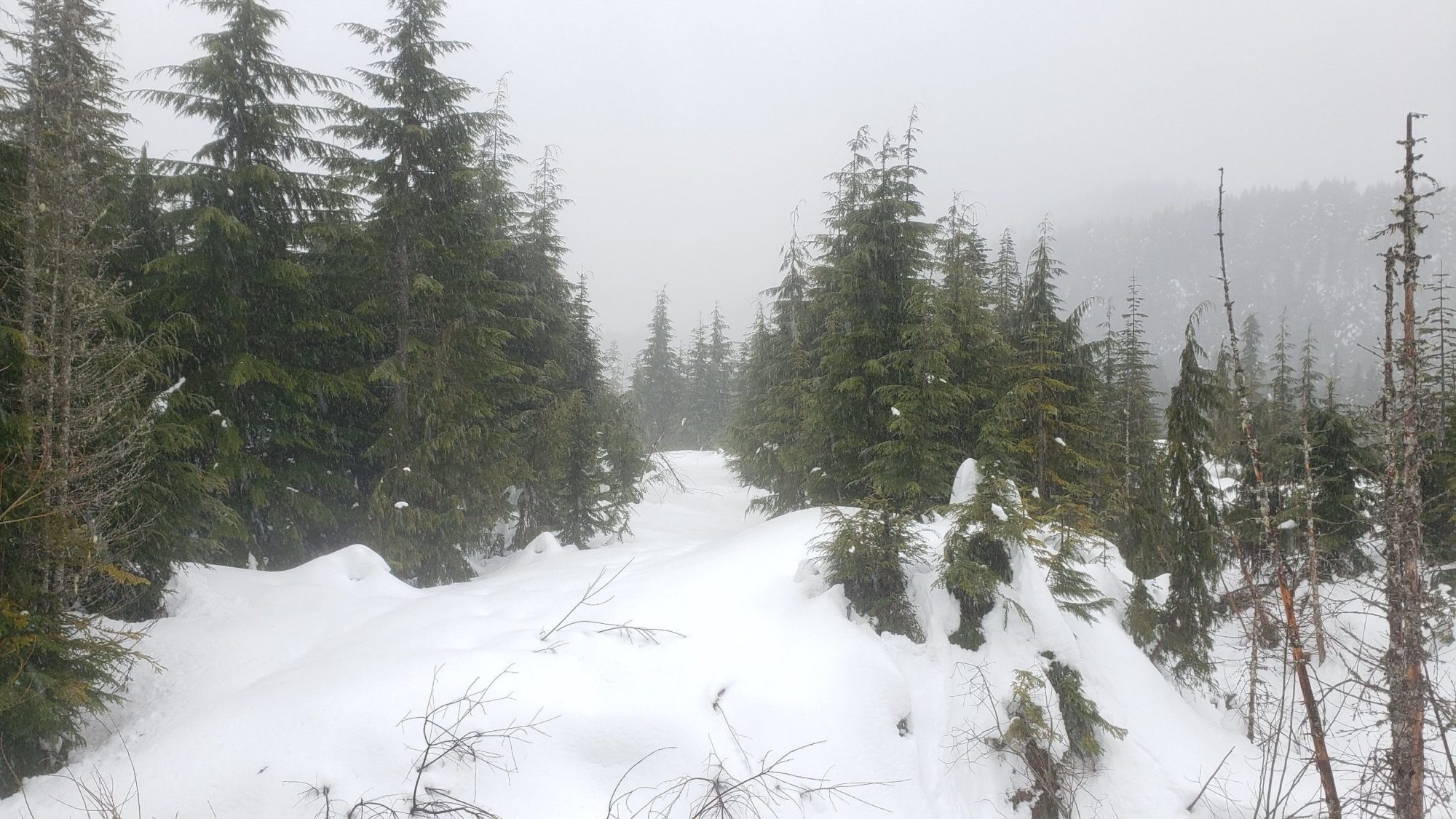
By the time I made it to the roadway again the days weather had moved in. Dismayed I chose to continue up the Olney Creek Logging road for a couple a hundred more feet to see what the hike is like. Upon leaving, I felt a determination to climb Mount Stickney some other time. While leaving, I managed to find the correct route down the road and marked it on my map. Here is the correct route.
While I had left the last time with a determination to climb Mount Stickney, I did not think that it would be so soon. After the official closing of North Cascades National park on April 3rd, I needed to find some way to get out. Doing my best to obey social distancing. The climb up Stickney once again became a good choice. The mountain sees a handful of summits each year and you will most assuredly be alone up there.
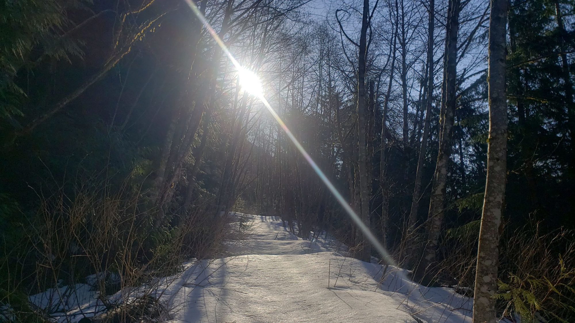
I left late and didn’t arrive until around 7:30 am. As I had thought, there was no one else in sight at the start of the logging road. Delighted I set off to try for a second time at climbing Mount Stickney.
Yet, in my excitement to be outside instead of stuck in an apartment I made the poor decision not to take my snowshoes. The first 2 miles of the Mount Stickney climb was easy and snow-free. I even remember lauding myself for the wise decision not to bring my snowshoes.
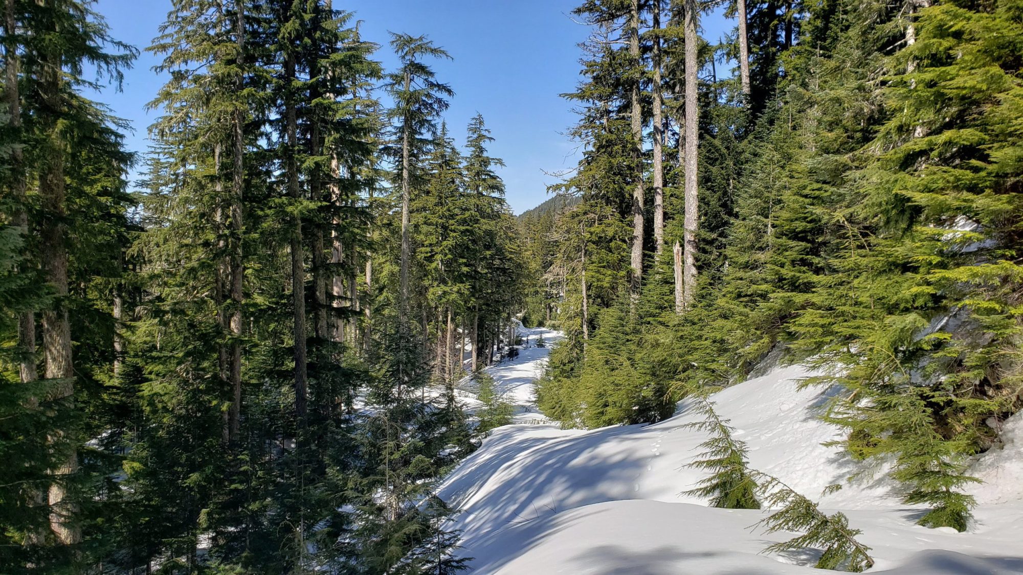
After another half mile conditions changed for the worse. Out of nowhere the road was covered in 2 feet of snow. My choices at this point were to call it a day or continue. I chose to continue. For a while traipsing through the snow went okay. The snow was still cold and I sank in a couple of times, but the going wasn’t terrible.
As the day warmed, the snow turned into mush. By midday, I was moving at 1 mph and up to my knees in snow every time I stepped. I slogged on until 1-acre lake (6ish miles from the Sultan Basin road) but that was all the abuse my body could take.
I resolved to come back and make one last try at climbing Mount Stickney soon. At this point Mount Stickney was starting to feel like it’s nearby brother Mount Baring. Yet another small peak I had tried multiple times before making it to the summit of.
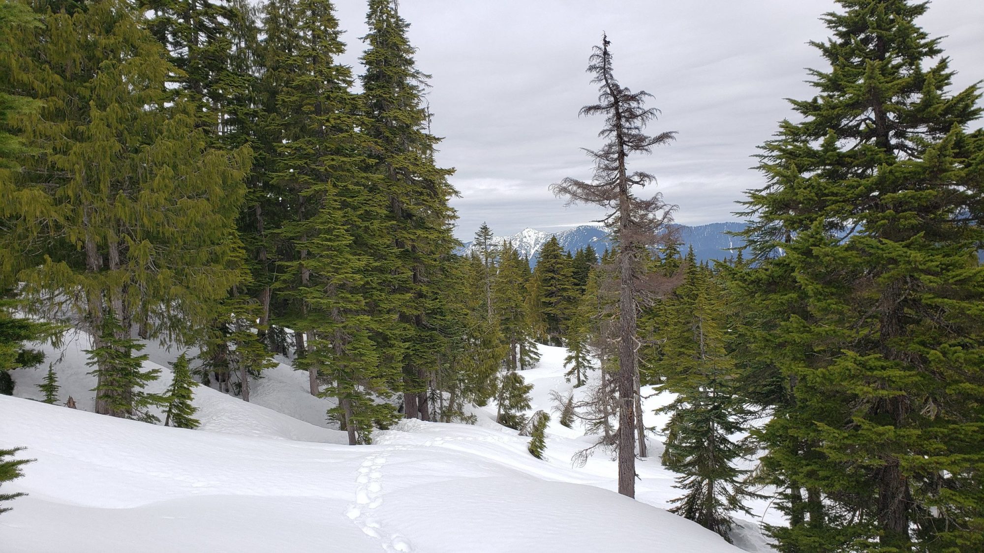
Okay, so now this attempting to climb Mount Stickney business is getting plain annoying. This time I set off way to late in the day. By the time I reached one-acre lake and made it to the second ridge line, the snow had softened.
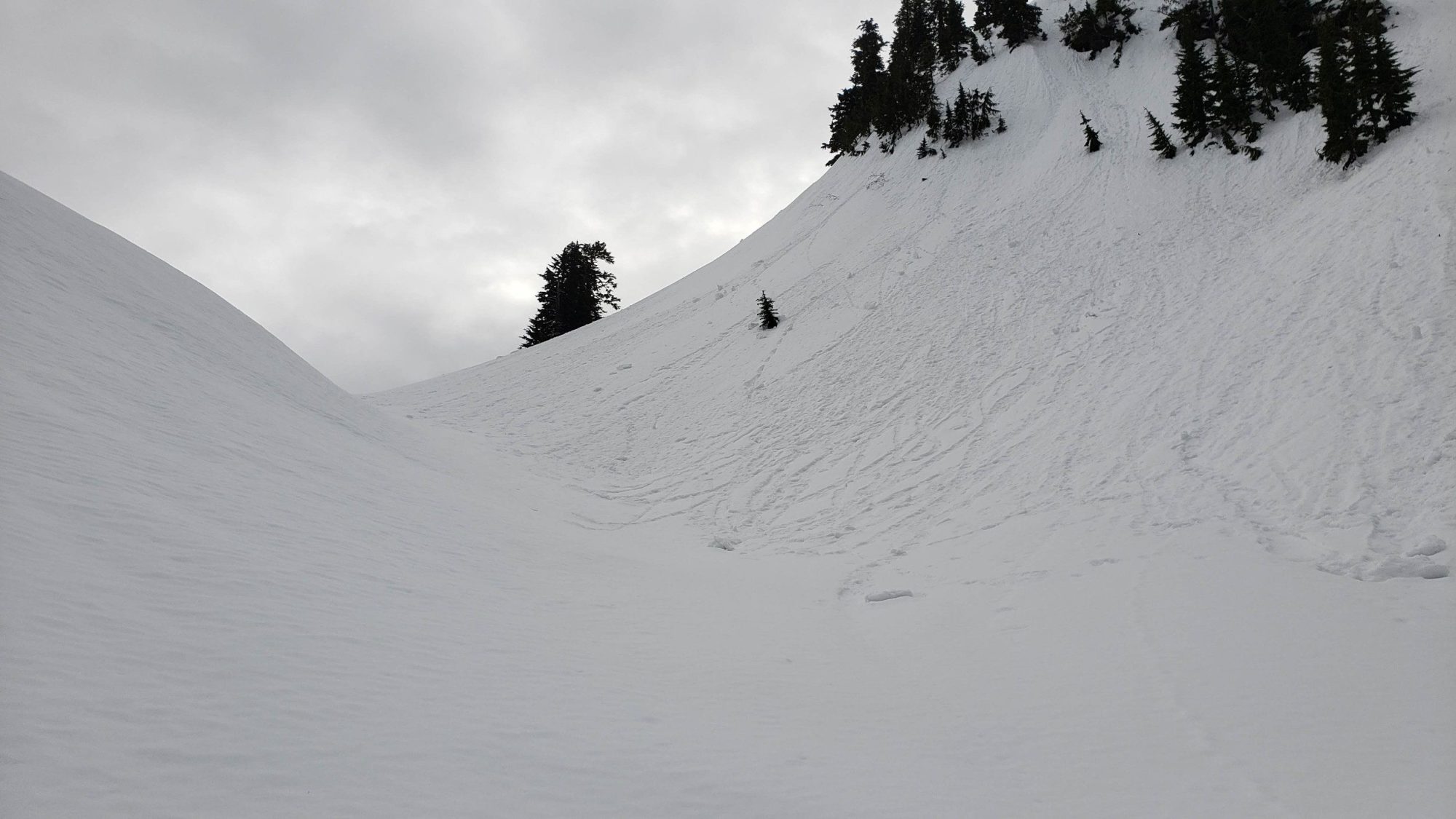
Even in my snowshoes I found myself sinking into the snow over my knees. After attaining the second ridge line and sinking into the snow time and time again the day was over. I watched 20 avalanches cascade down the surrounding hillsides and ate some lunch. By now the frustration with this tiny mountain was setting in. I told myself summer might be better to climb Mount Stickney and headed for home.
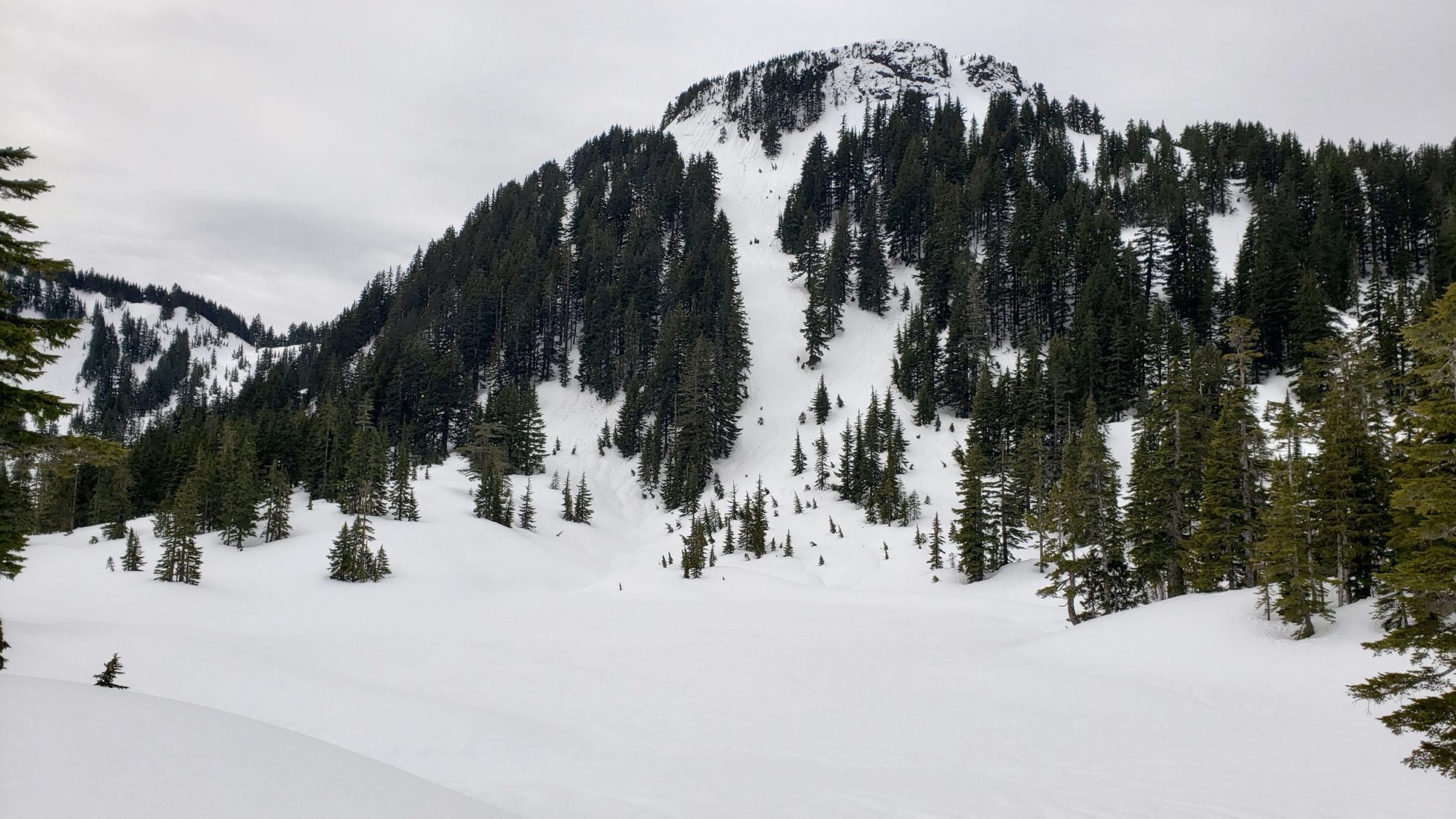
As I turned to leave the second ridge line, I got to witness a small avalanche come down the hillside and cover my track. This made the current danger level clear and at the same time made some of the frustrations subside. Always better to live to climb another day. The exit was uneventful and quick.

By now my attempts at this obscure mountain are feeling like the definition of stupidity. You know, trying the same thing again and again but somehow expecting a different result?
Anyways, I want this peak done now more than ever. On this day I was feeling particularly motivated. I planned to wake up at 2 a.m. and head out. That way I could minimize the avalanche danger and take one last shot to climb mount Stickney with snow on it. As appealing as summer was starting to look, the views of the scree fields I’ve seen look unpleasant at best.
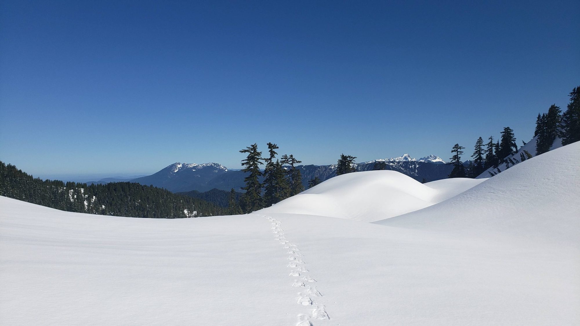
I woke up late, got to the trail late and all that made me feel was more determination. Setting off I made great time and was at the snow level within an hour. I don’t know what it is about this mountain, but it does not seem to want any of my plans to work out…
With a lot of speed in my legs I managed to make the second ridge line past 1 acre lake within three hours this time. The snow was still nice and solid and I was feeling great.
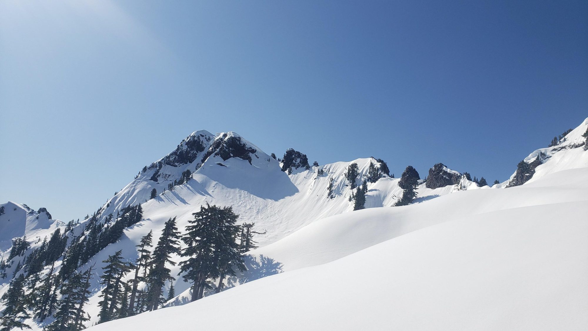
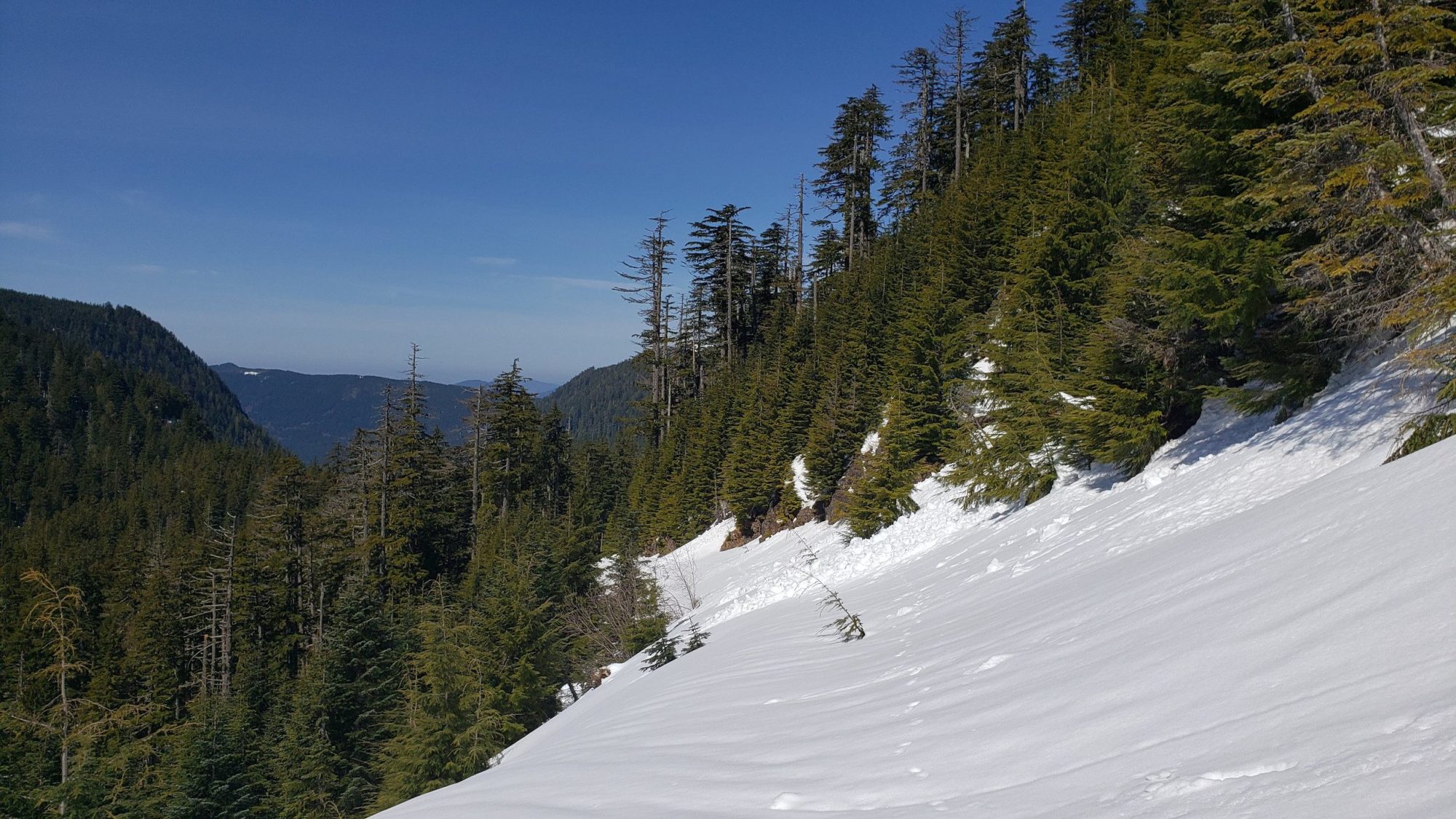
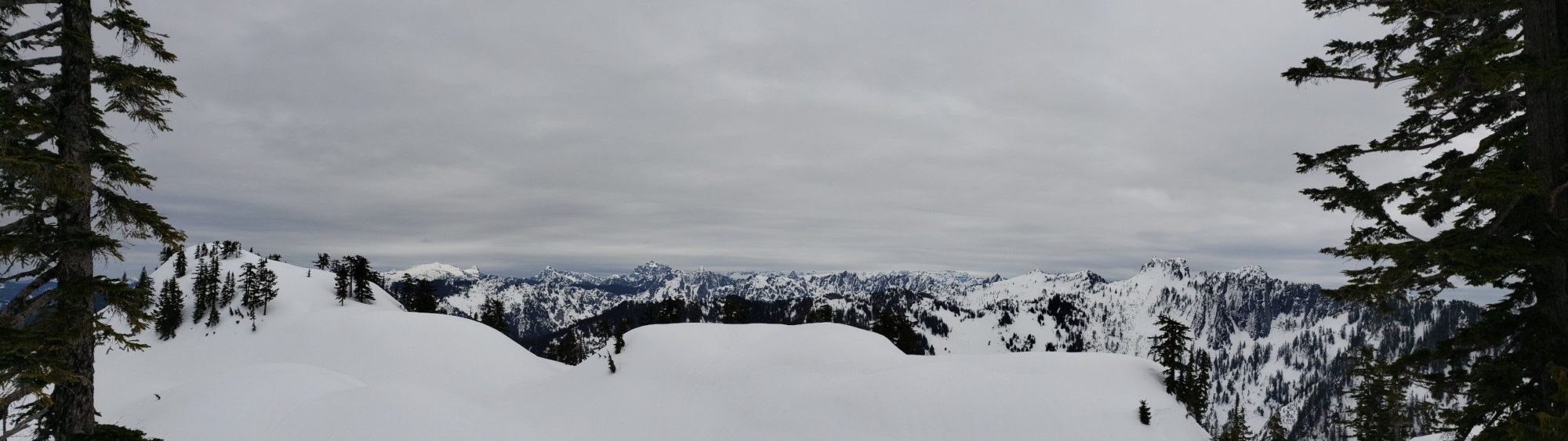
From this point I am not sure what the official route up Mount Stickney is. My route on the topo map is heavily dictated by snow depth and conditions. Be aware that if you want to follow the route in summer it may vary from what the map shows. From the second ridge work your way to the bowl that is below the prominent peak of Stickney.
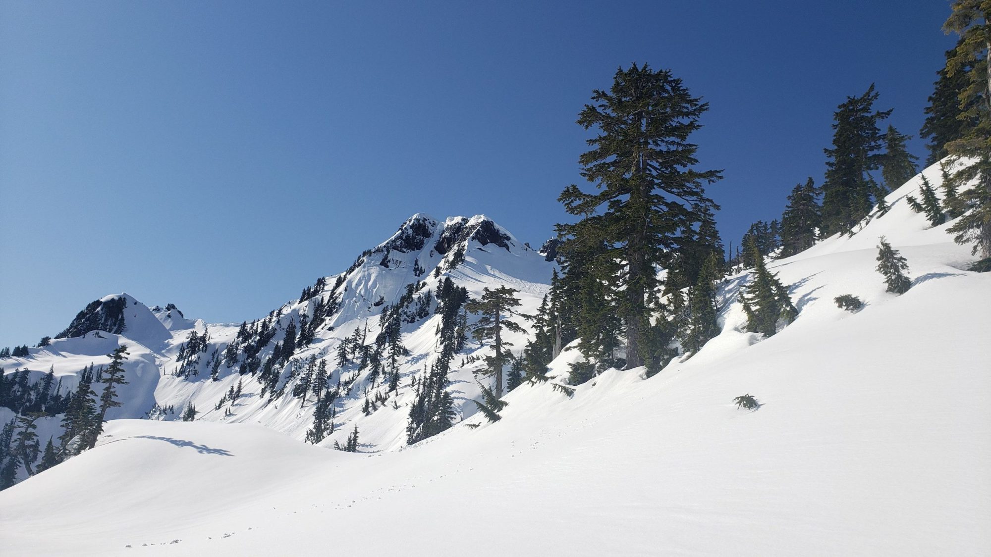
From here there is a steep slope to climb. Facing it in snow meant some steep traversing and a near-vertical climb at the top near the notch. For me it seemed easy to tackle but I have heard others say that they rope up for the climb on this section. During summer, it appears there is a vertical section of rock to tackle. But, I have no direct knowledge of it. For a good view of the summer route, check out the link.
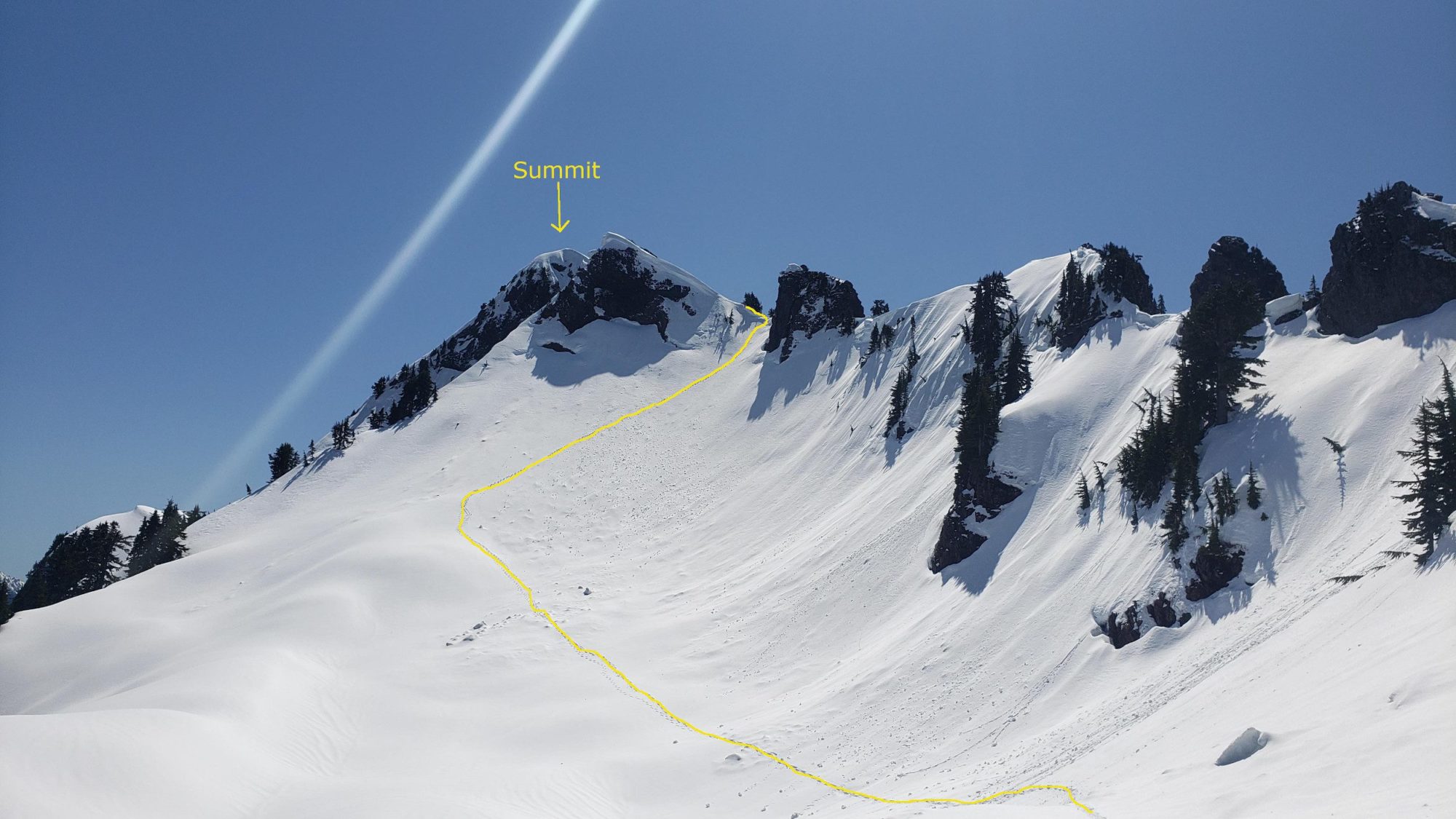
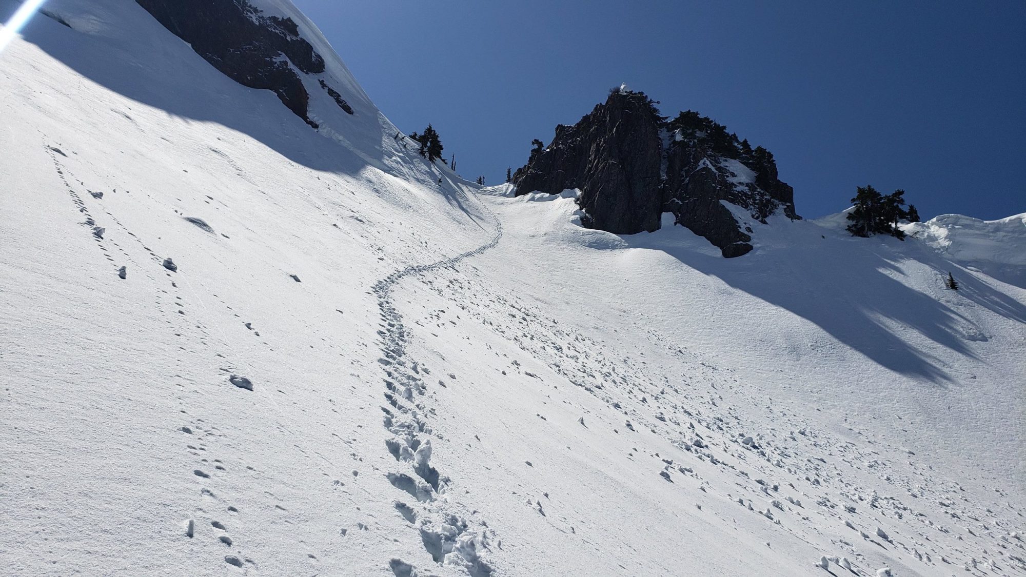
After attaining the col the climb is near done. There is a small ridge to walk and the summit is right there. My only word of caution is that if you do this in winter beware of the cornices. They will appear as solid ground but they are not. Stay to climbers right and set up a hand line if you are uncomfortable.
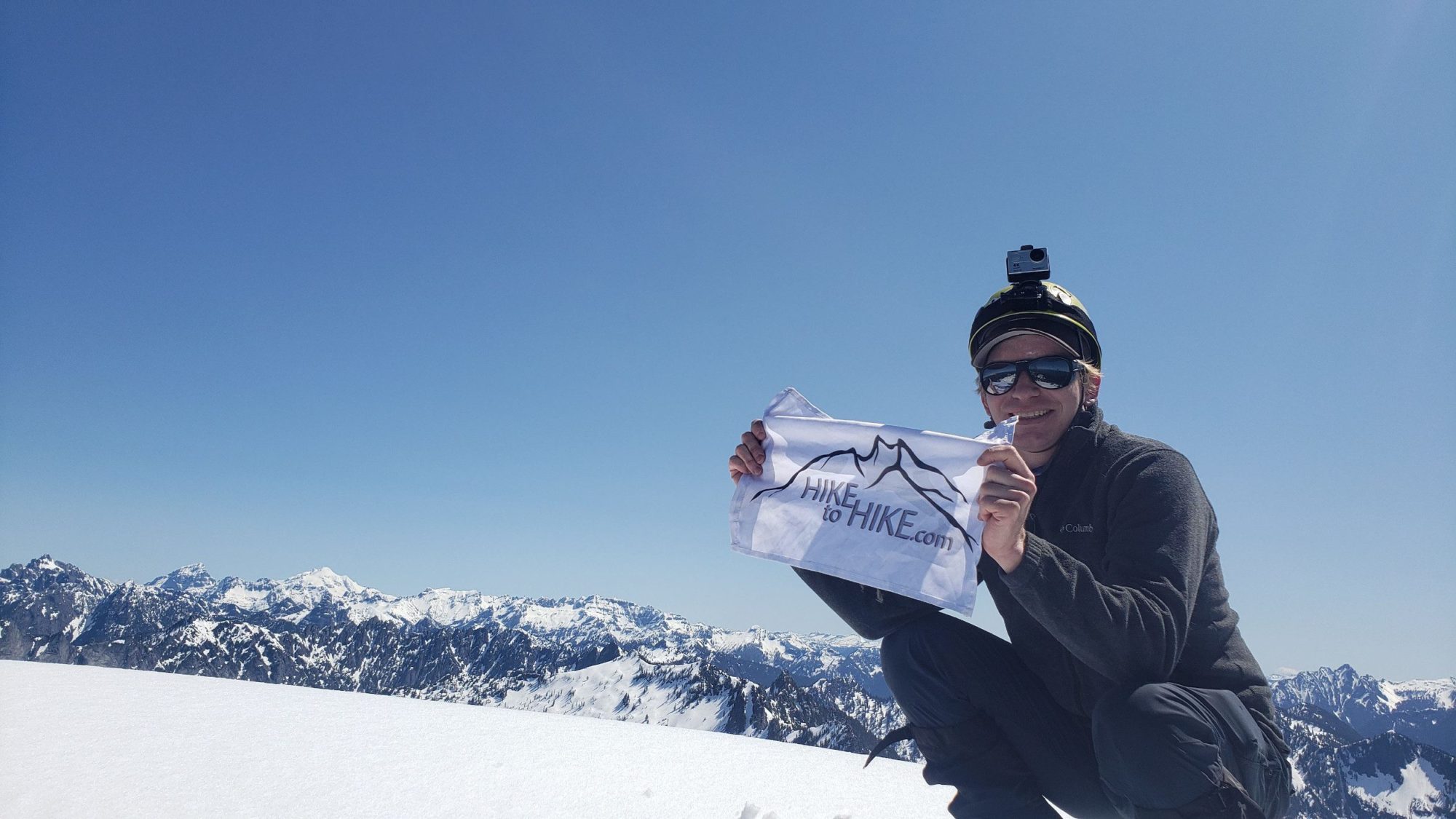
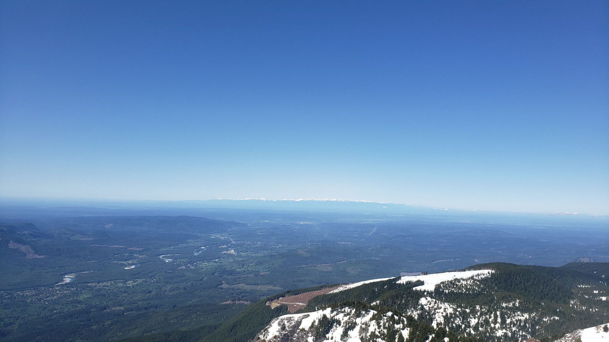
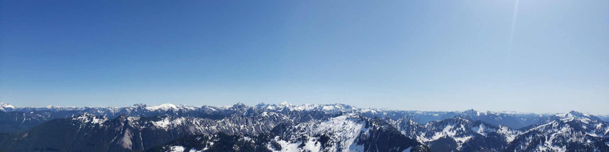
For me, the climb of Mount Stickney is a one and done. The view was incredible and the satisfaction of another Everett Mountaineers Peak is fulfilling. But, the amount of work to get to this relatively small and obscure peak does not feel worth it to me for another go. Check out the video for some good shots of what the climb looks like!