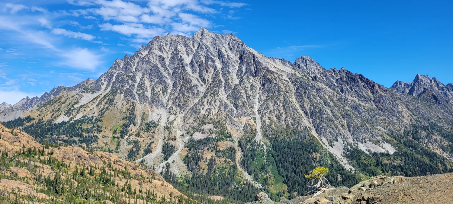
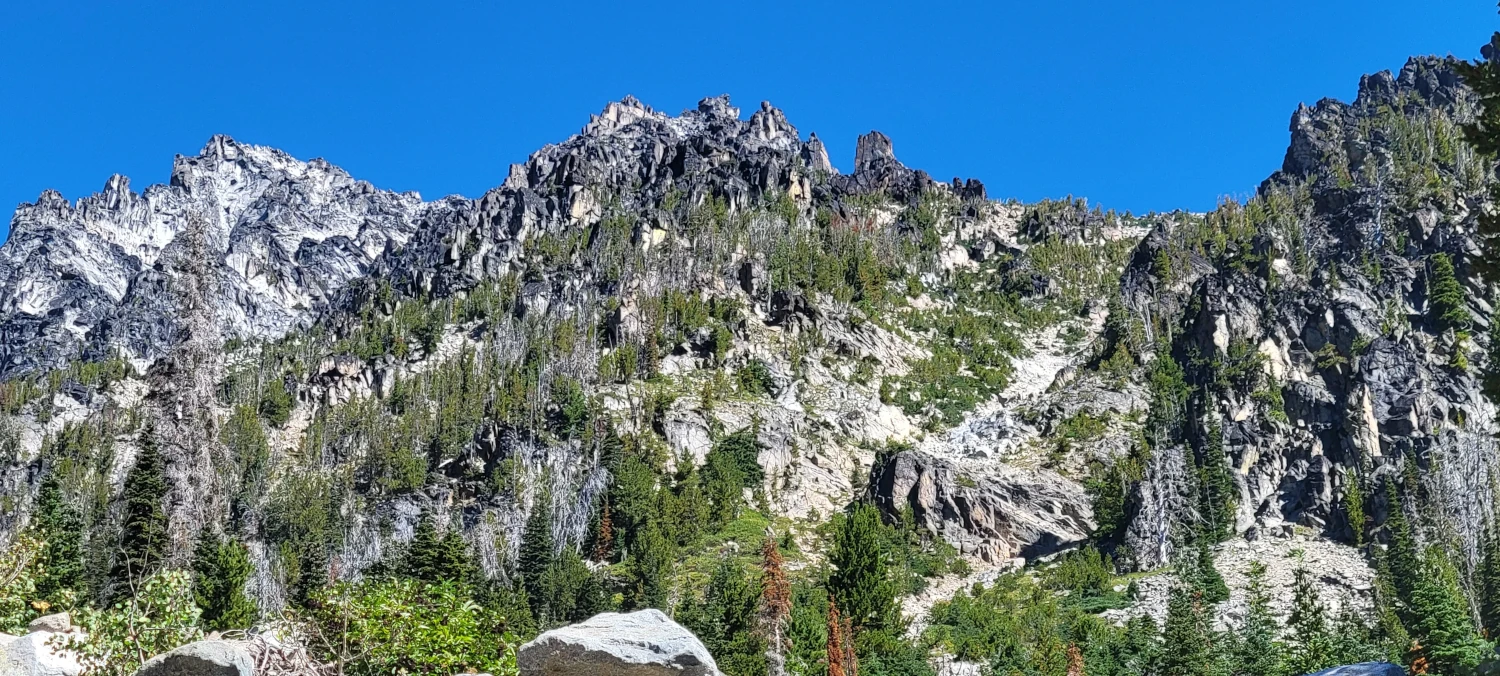
After repeatedly attempting to solo the Sherpa Glacier Couloir on Mount Stuart for 2 winters and failing, I just wanted to reach Mount Stuart’s summit. In light of that, to end the summer I decided to just head for the standard “easy” route, the Cascadian Couloir. The trailhead for the summit route holds multiple other trails including the infamous Lake Ingalls. So when I arrived on labor day weekend to find multiple parking spaces available I was surprised. It was quite late at night and the morning was supposed to be warm which meant I needed to get an early start. This time I didn’t even bother to set up my bed. Instead, I just laid my front seat back, threw on my puffy, and dozed off with an airplane pillow against my neck.
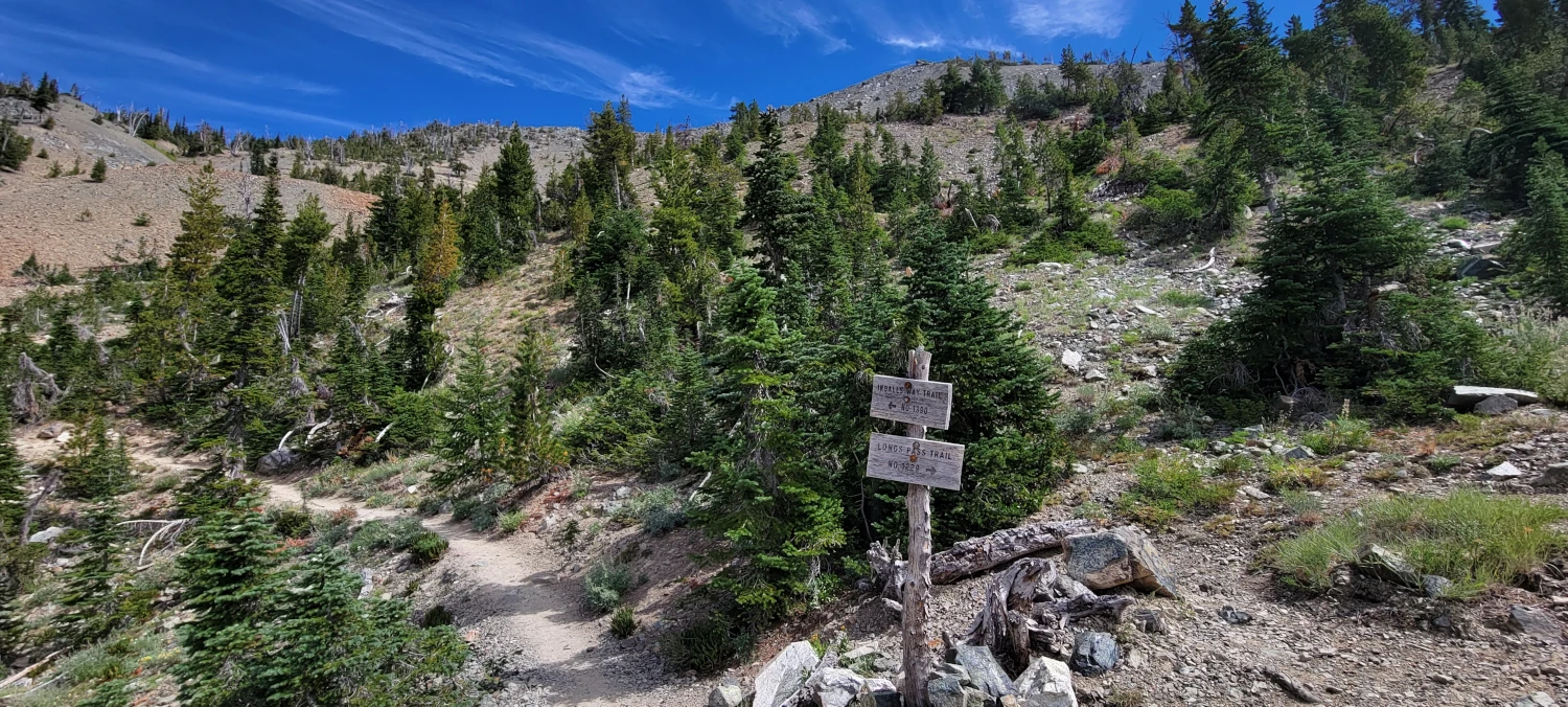
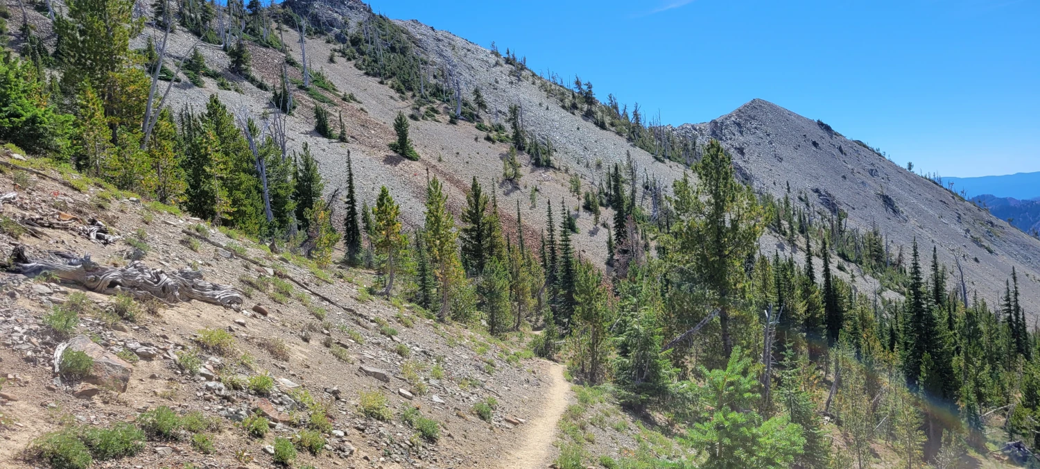
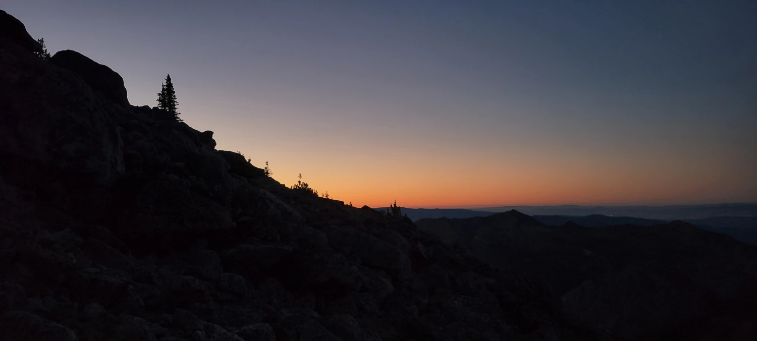
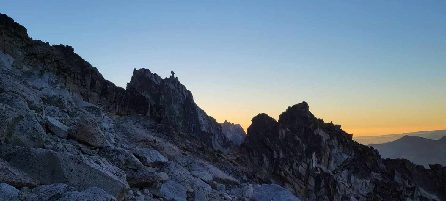
I got about two hours of sleep and then started up the trail as groggy as could be. In the dark, the trail up to Long’s pass from the trailhead is an easy monotonous walk. I am glad I was doing it in the dark because that hillside is very exposed to sunlight. I’d suggest anyone taking the route start nice and early.
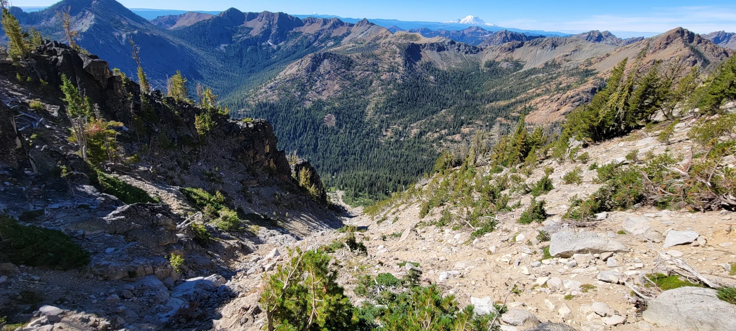
From Long’s pass, the trail descends fast as it heads towards Ingall’s creek trail. In the dark, there were multiple points where I made a misstep and slid in all the loose scree during the first portion of the descent. Despite having my 400-lumen headlamp I still managed to walk off course a few times. By the time I reached the first lightly wooded section, it was a relief to have some semblance of a trail again. Careful through this part in the dark.
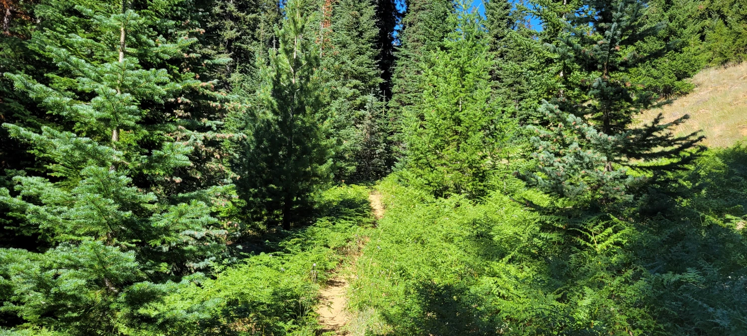
Reaching Ingall’s creek trail was easily my favorite part of the morning. It is an easy stroll and only a mile or so to the cutoff for mount Stuart’s Cascadian couloir route. But, that being said the actual cutoff trail is a bit hard to spot if you are not looking for it. From this point, the climb gets tough fast.
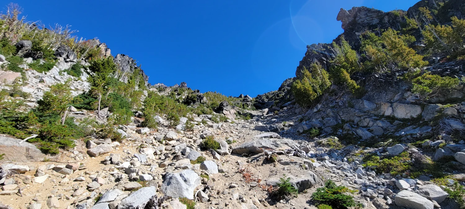
The route up through the Cascadian couloir on Mount Stuart is, much like other Bulger peaks, nothing more than 10 trails going in 15 directions randomly splattered with cairns. If you start in the dark, bring a map. It saved me navigation headaches more than once.
Take it slow, watch your step on the loose rock and the trip is fast up to the 8800ft level where you reach the first section of Mount Stuart’s summit ridge.
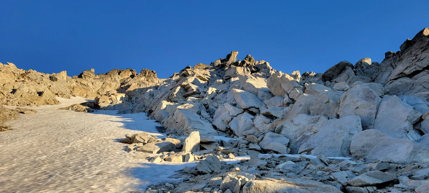
This is where I made my biggest mistake of the day. As always I had read multiple trip reports before heading out and knew once you get to the permanent snowfield, you circumnavigate it on the left and over to the summit scramble. For some inexplicable reason, I headed right without thinking about it. Looking back the only thing I can imagine pushed me that was is that the scrambling looked more fun than the talus where there was a clearly defined path.
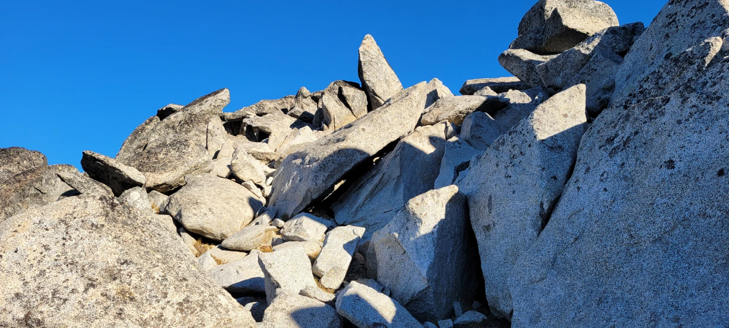
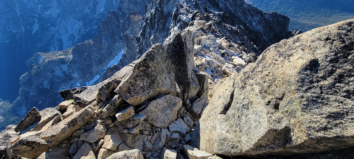
While it was the right-hand side is not the worst thing I have ever scrambled, it was certainly not easy. You know you climbed yourself into a trap when you reach rappel anchors and look back down to realize you aren’t downclimbing what you just went up. I made it okay, but if you don’t have a rope or a partner I would suggest the left-hand side of the permanent snowfield.
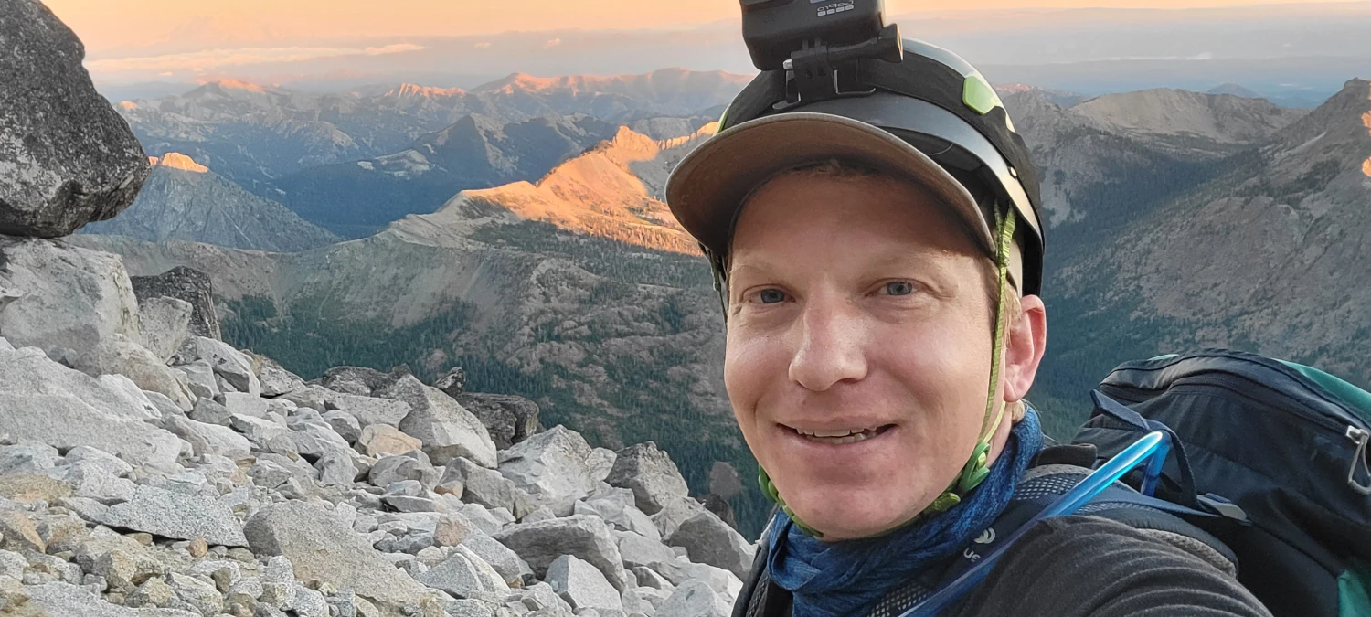
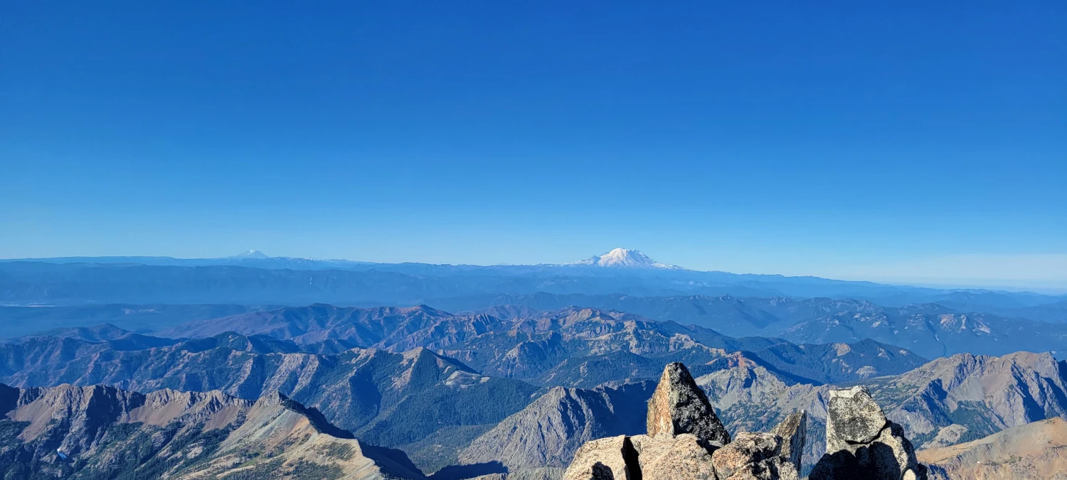
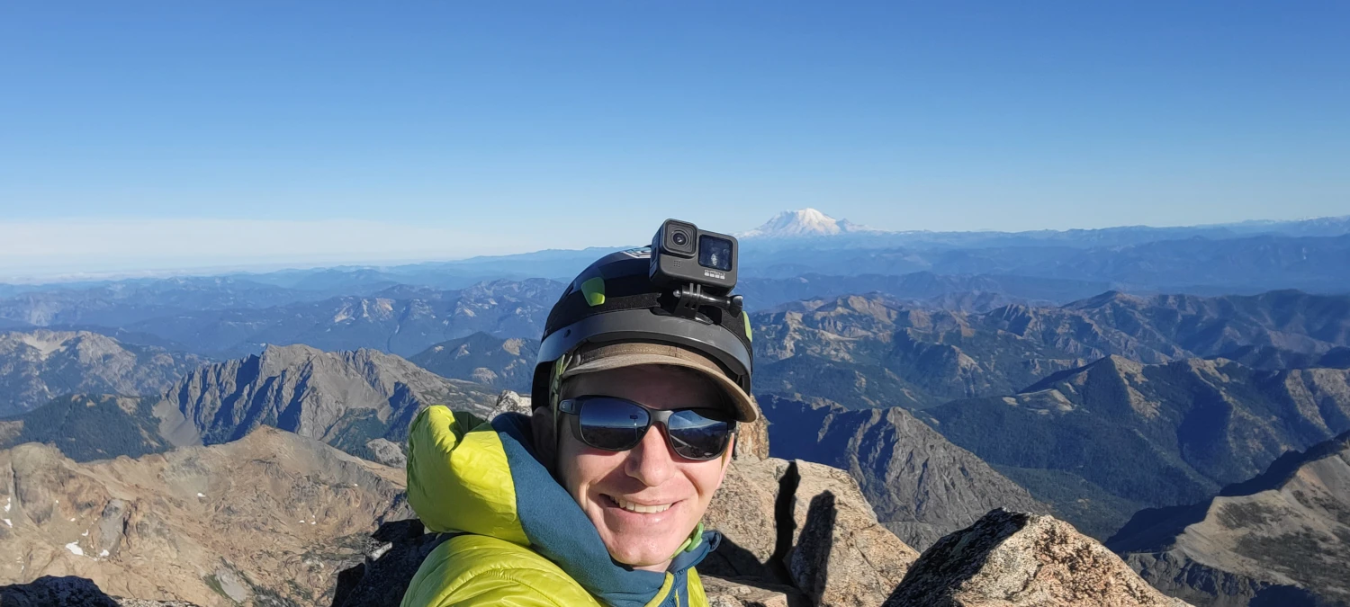
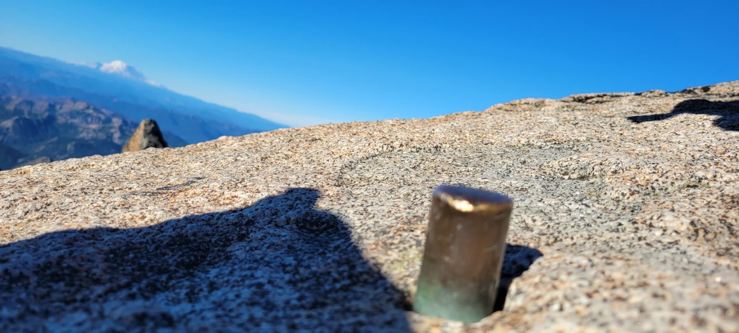
The final scramble to the summit is straightforward to navigate. I only found one or two spots where I really had to use my hands to pull myself up. All in all, it was nice to stand on top of Mount Stuart, another of Washington’s giants. But, I still feel a bit disappointed that the Sherpa Glacier has alluded to me. I guess the Cascadian Couloir will just have to whet my appetite for now.
On the way back down I followed all the cairns I could find and the path was easy to navigate. Watch for cairns and stick to the worn path. If you do Mount Stuart’s Cascadian Couloir is a steep but straightforward day out.
The worst part on the way back out was walking back to Long’s pass. But I’ll let the reader find out how that feels for themselves. Just be sure to bring enough water for the return trip.
