


After having to call off my epic plan to traverse a ridge and climb three Bulgers in a day last week, I decided to up the ante and go for five this time. Some resources like this reputable onelisted only three of the peaks as the “Sawtooth Slam.” Others like this resource say it is all five that lie in the area combined that make up the “Sawtooth Slam.” Either way, the climb of these five peaks seemed a worthy goal. The area includes Switchback, Martin, Bigelow, Raven and Hoodoo. It is a very long day. Or it can be a slightly easier overnight.
As I do so many times these days, I left on Friday evening from my weekday basecamp in Mill Creek and arrived at the trailhead right around midnight. The parking lot was already full and I managed to find one of the last remaining spots. I took a quick look at the trail register and felt surprise at the number of people attempting the same route. I immediately thought the route might have a crowd the next day but was undeterred and went to get some sleep.
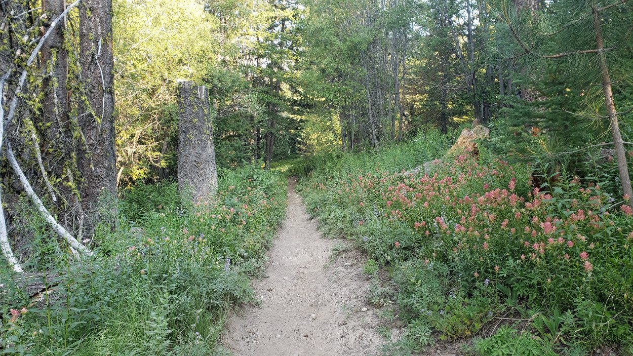
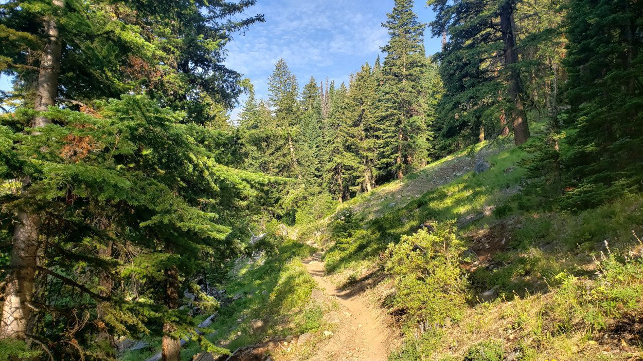
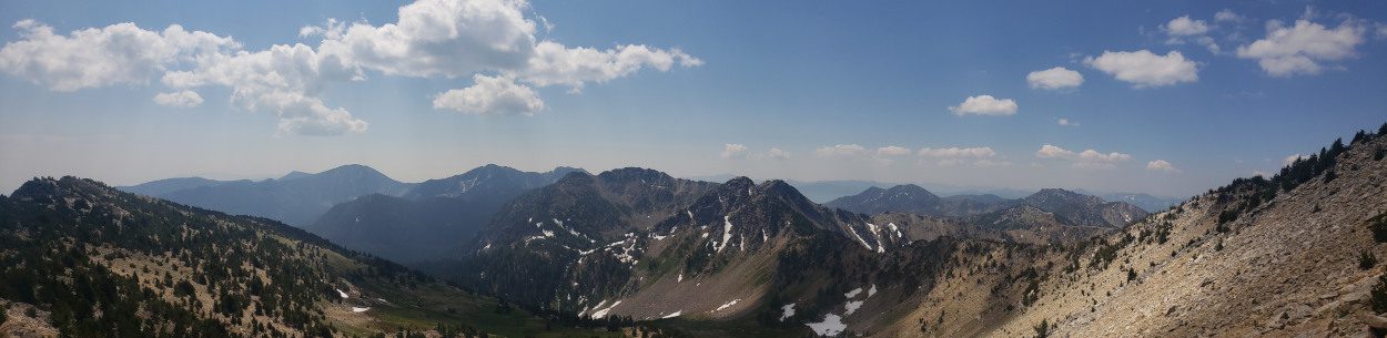
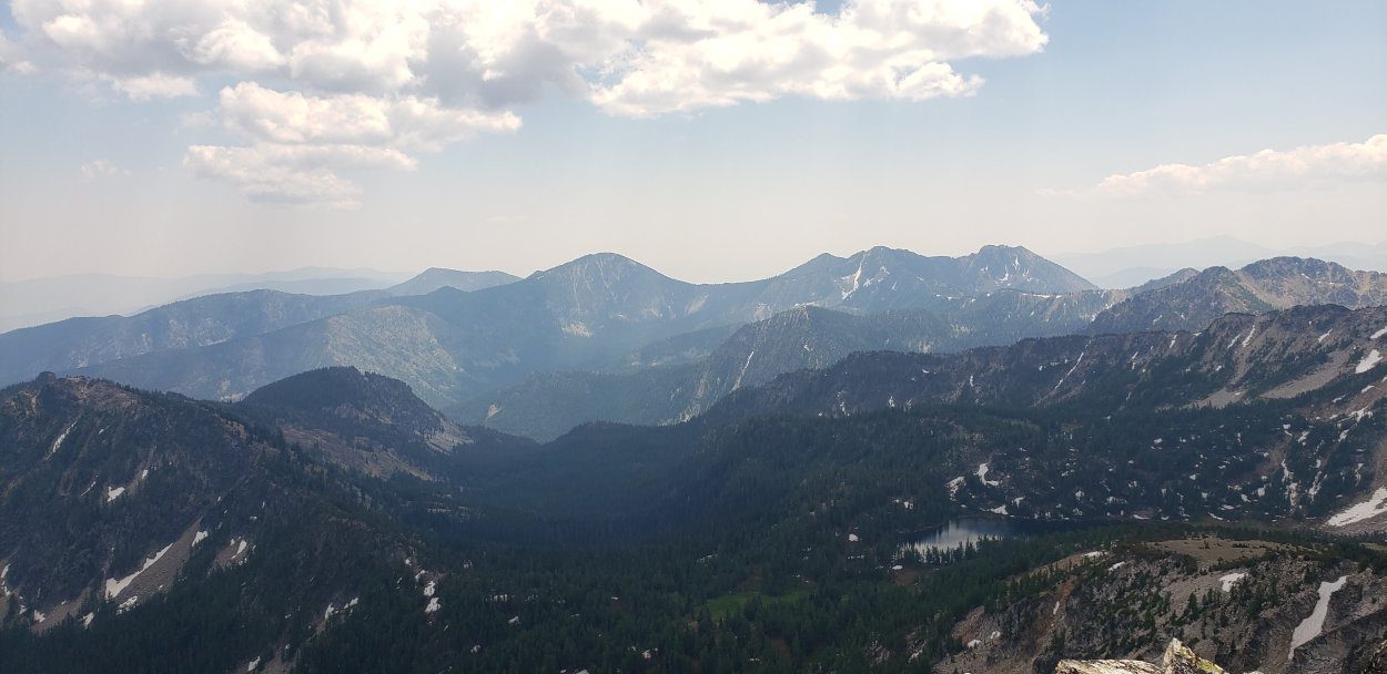
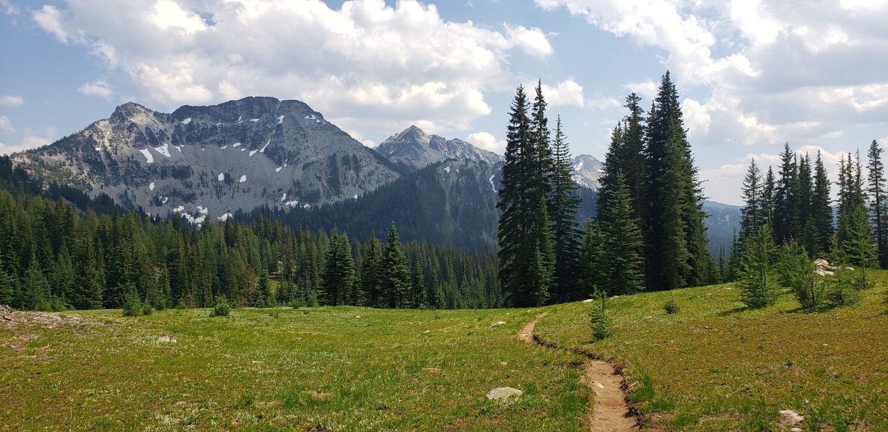
On Saturday morning I was on the trail by 7am. From my research it seemed the easiest way to take this on was to head for Cooney lake first. This way I could start with Switchback mountain and have less mileage to finish off the day after Raven. The trail all the way to Cooney lake is well kept with bridges over almost every creek crossing. The only one that required a ford had enough rocks to hop across to avoid taking shoes off.

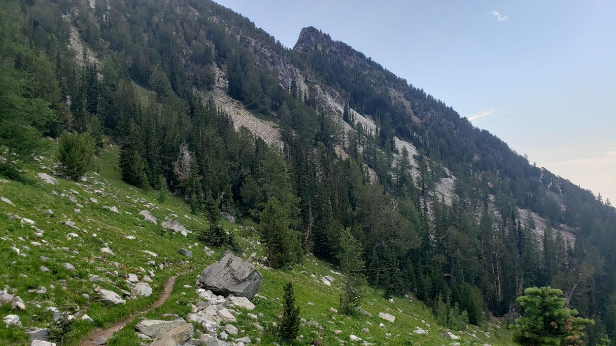
I quite enjoyed the morning walk and felt a bit of surprise when I reached the lake area in a mere 3 hours (~8 miles). The one thing that left me with dismay was the fact that once the meadows began, so did the mosquitoes. There were hoards of them everywhere. Anytime I stopped I got swarmed and neither bug spray or citronella bands were any deterrent. The best thing I could do was keep moving since that kept most of them away.
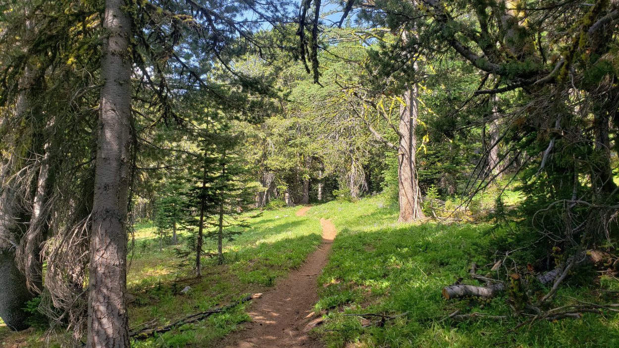
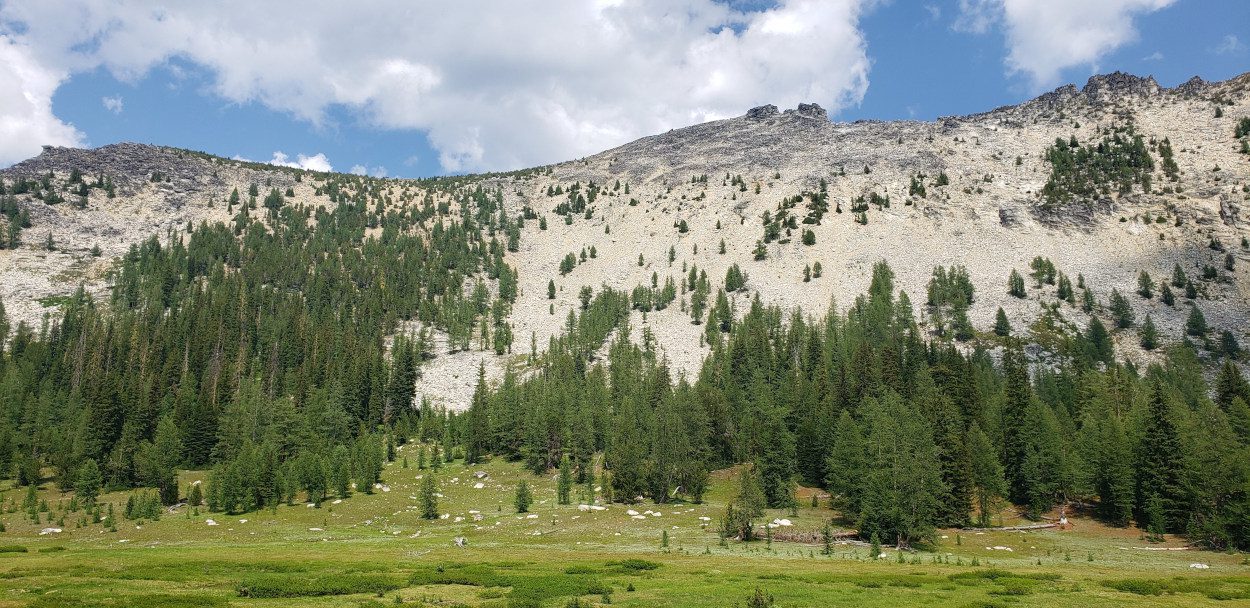
From Cooney lake there is a small trail that heads uphill. It is easy to spot as it heads up towards the small pass on the side of Switchback Mountain. Once at the pass the trail then continues west along the side of the peak and over to a ridge line.
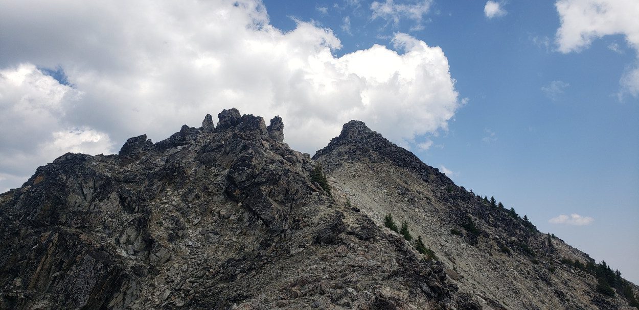
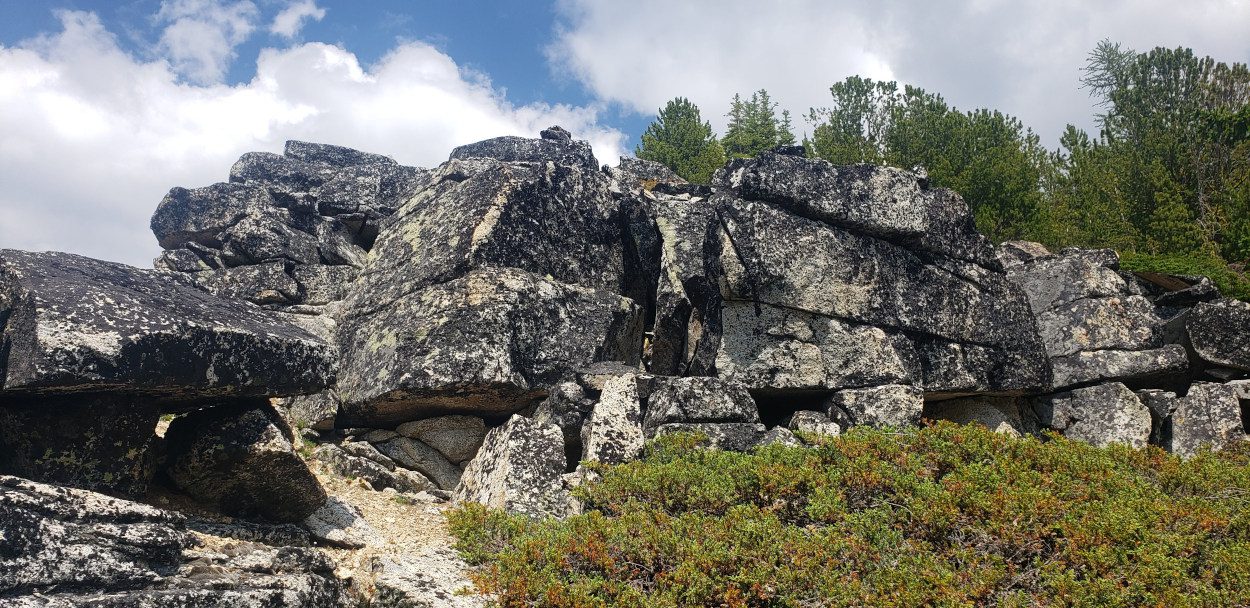
Much like its nearby relative Abernathy Peak, the entire way up this one is as simple as following a trail. The only scrambling required was for the last 300 feet or so and it was all over very simple large boulders. I only used my hands around 10 times and most of it was simply hopping from boulder to boulder. The easy start to the day was welcome, though since from here, it becomes pretty clear how far off the other peaks are. I did not spend long at the top of this one and instead opted to keep the day moving forward.
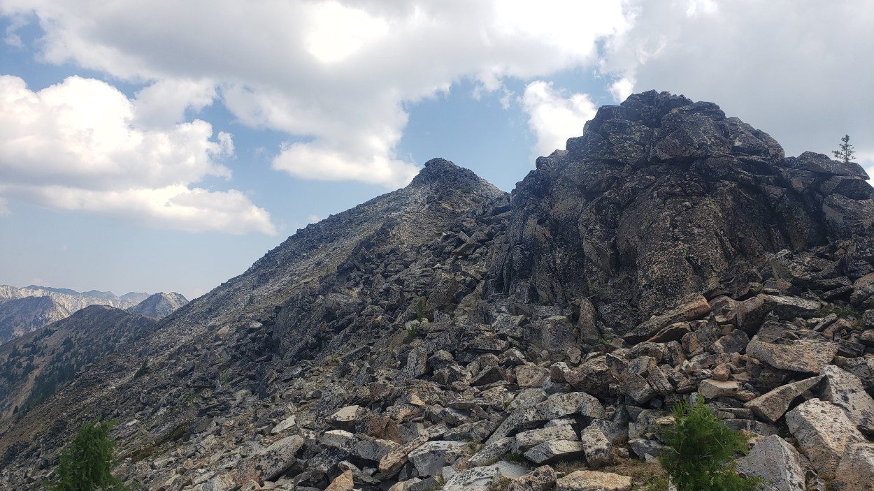
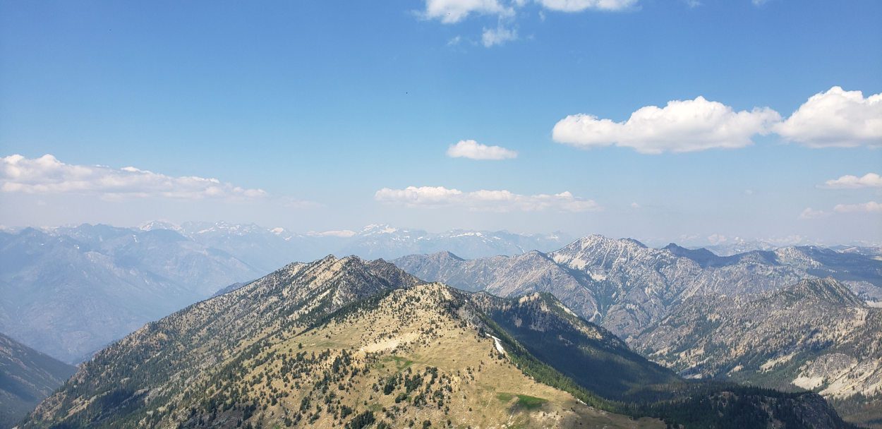
From the top of Switchback it is an easy walk down the ridge and over to where the climb of Martin begins. To get to Martin there is a small hill that stands in the way and I found it was easiest to go up and over the top. As luck would have it the hill is known as peak 8086 so, I incidentally got to climb another peak for the day. Once up and over the other side the scramble route to get up Martin is easy to see and puzzle out.
Most of the way to the top of Martin is easy class 2 though much of the rock is very loose. So if you are climbing with a party, beware and don’t kick anything down on your partners. Much like Switchback mountain, the climb of Martin felt underwhelming at best. There was no summit register, only a small cairn to mark the top. After sitting with it and grabbing my photo, I looked towards Bigelow to give me a bit more of a challenge for the day.
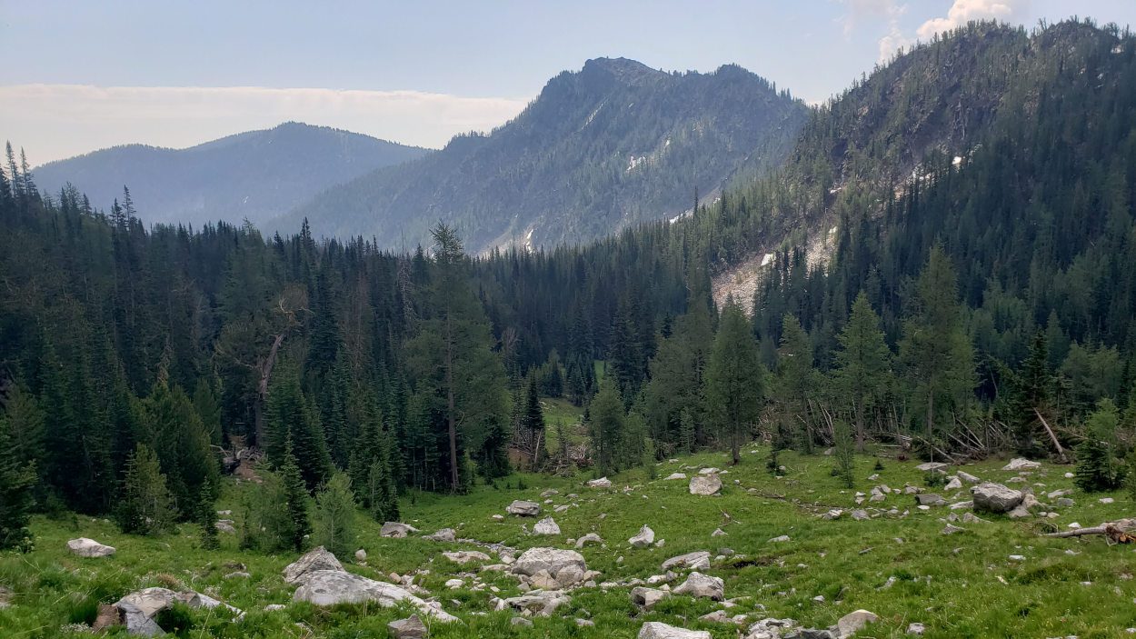
Leaving the top of Martin is where the day started to get a little more interesting. There isn’t any serious scrambling to take on when descending Martin. But, the peak has some of the loosest rock I’ve seen in awhile. Trying to work my way along the side of the peak was a bit terrifying as I almost lost my balance several times. While working along I was confronted with another choice. Should I go straight over Cheops (the next peak)? Or, should I descend and then climb Bigelow from the west (Hoodoo Pass)? After assessing where my water situation stood I decided I needed to descend. Boiling lake and the stream feeding it were the closest possible water sources.
The descent into the valley was tough trying to negotiate the extremely loose rock and a couple of very steep areas. But within about 45 minutes I was filling up at the creek feeding the lake. With how hot it was outside I decided to carry a full gallon of water with me for the rest of the day. I had seen much of the traverse I was about to do and water looked scarce at best. Despite the amount of weight, this would end up being an excellent decision.
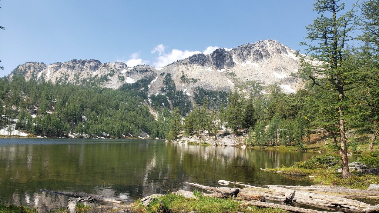
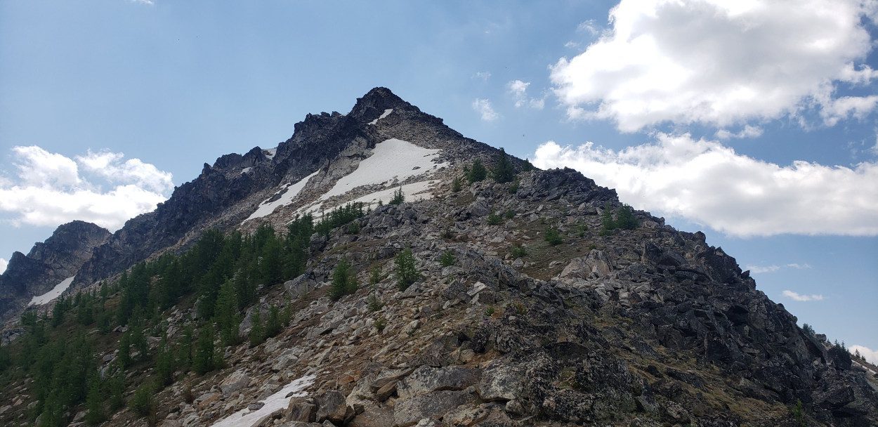
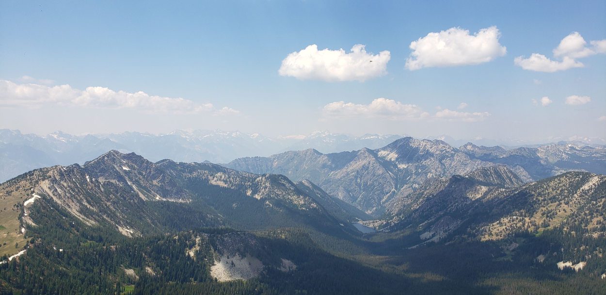
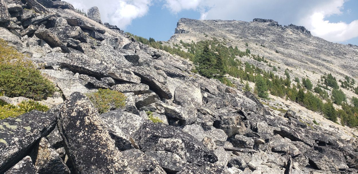
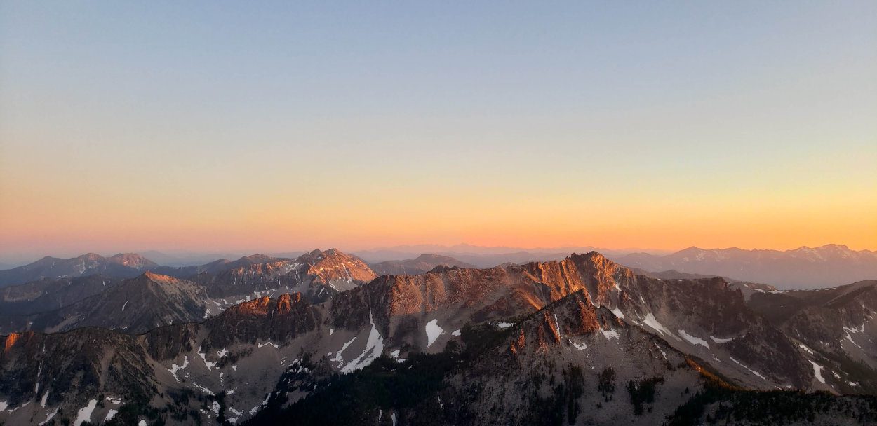
From Boiling lake there is a small cutoff trail the that heads for Hoodoo pass. The trail winds through some meadow areas and then heads straight up to the pass which stands below Bigelow. From this pass the scramble is quite easy, though tough as legs start to feel tired. Most of the scramble up Bigelow is class 2 with one or two class 3 moves in there.
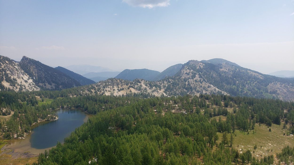
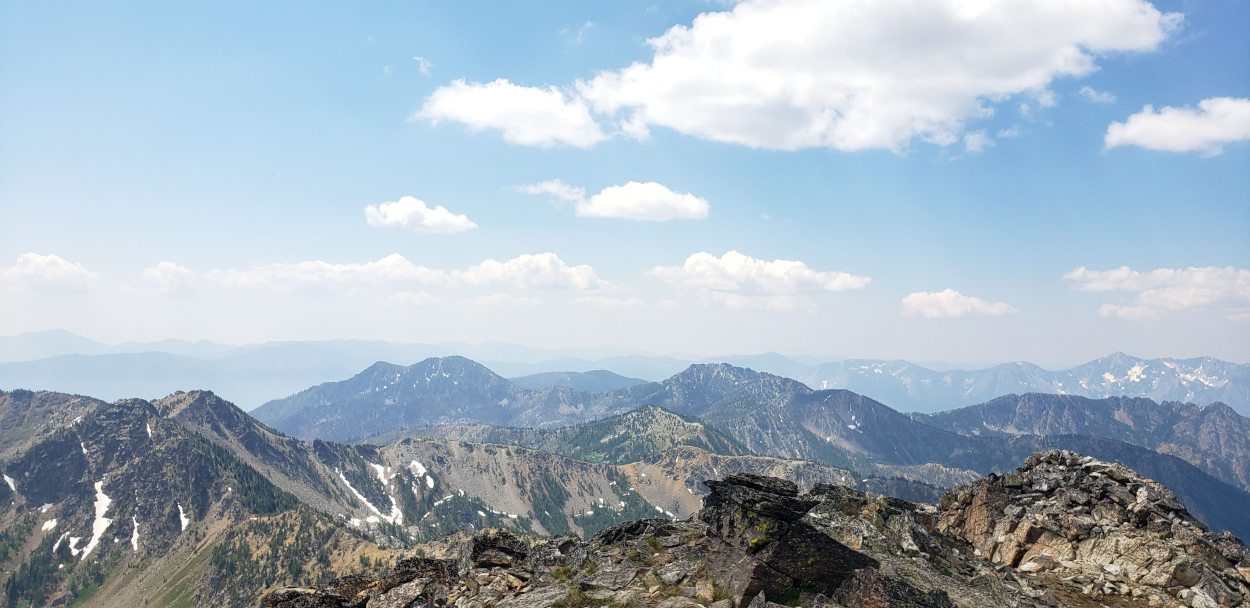
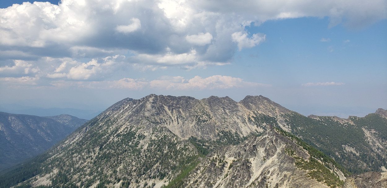
Getting to the top felt fantastic especially since you can then look back on everything you already accomplished. Somehow from this perspective the distance seems unconquerable. I found myself questioning whether I had actually walked that far.
Much like the previous two peaks, there was no summit register. There was what looked like the remnants of a cairn and a lot of bugs. I took a nice long break on this one though since I wanted to try and puzzle out how I was going to get to Raven ridge.
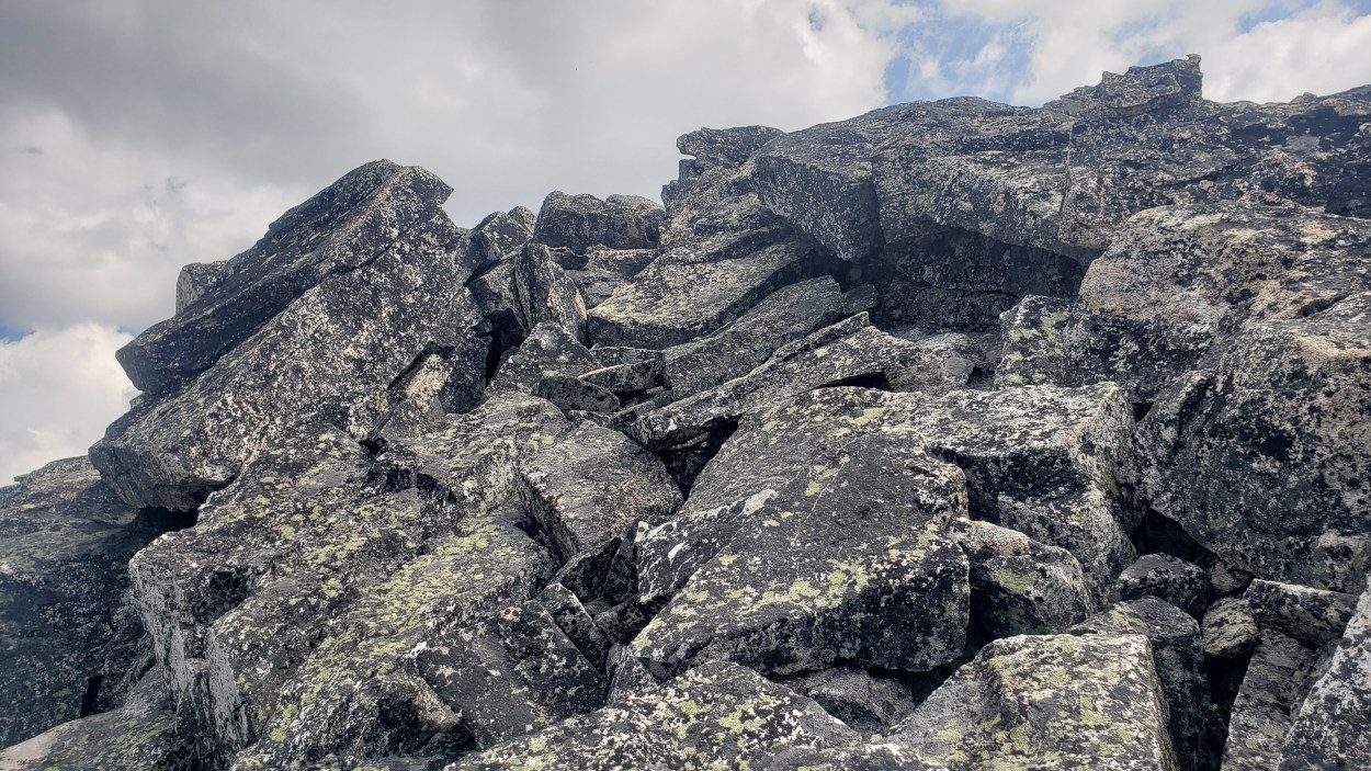
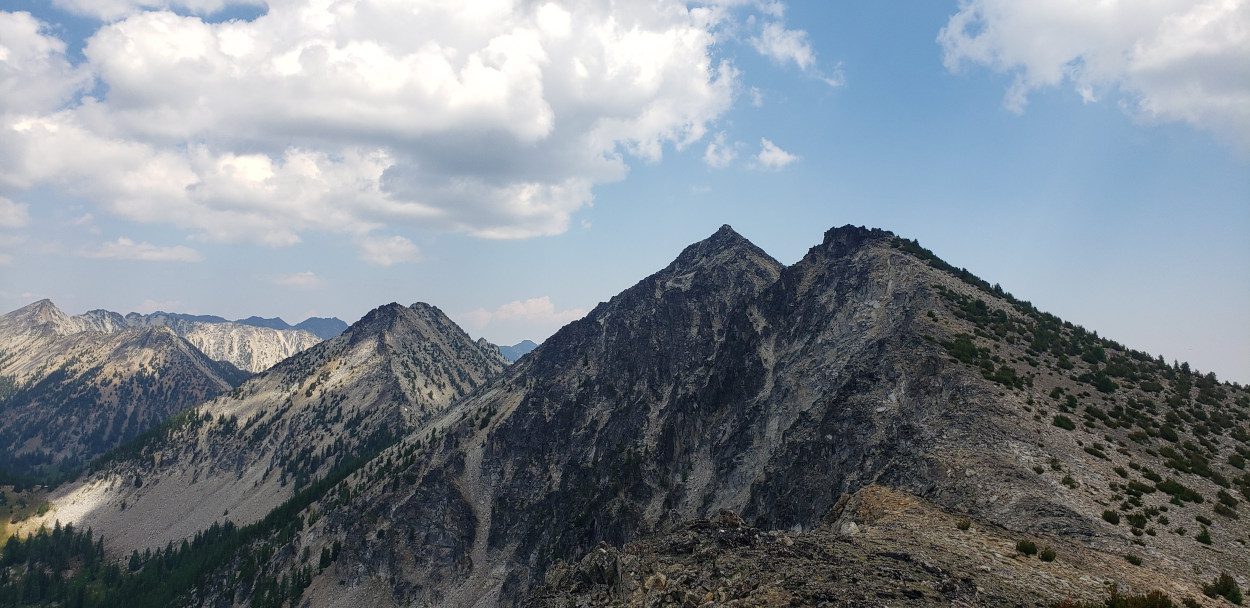
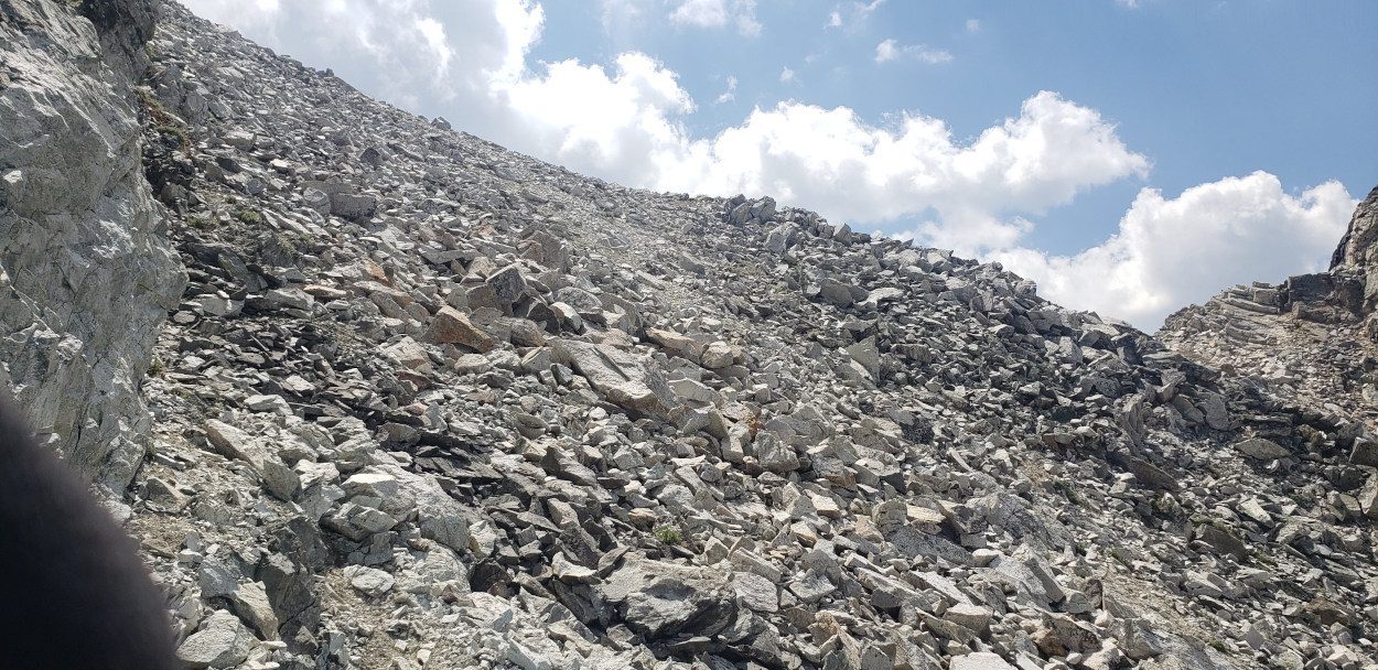
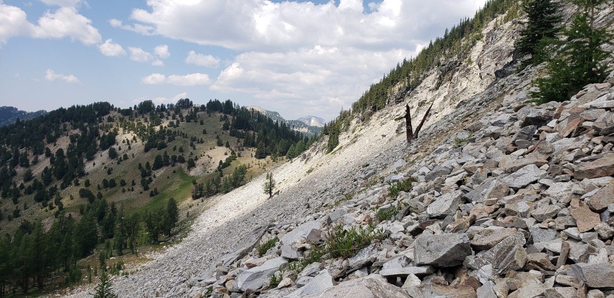
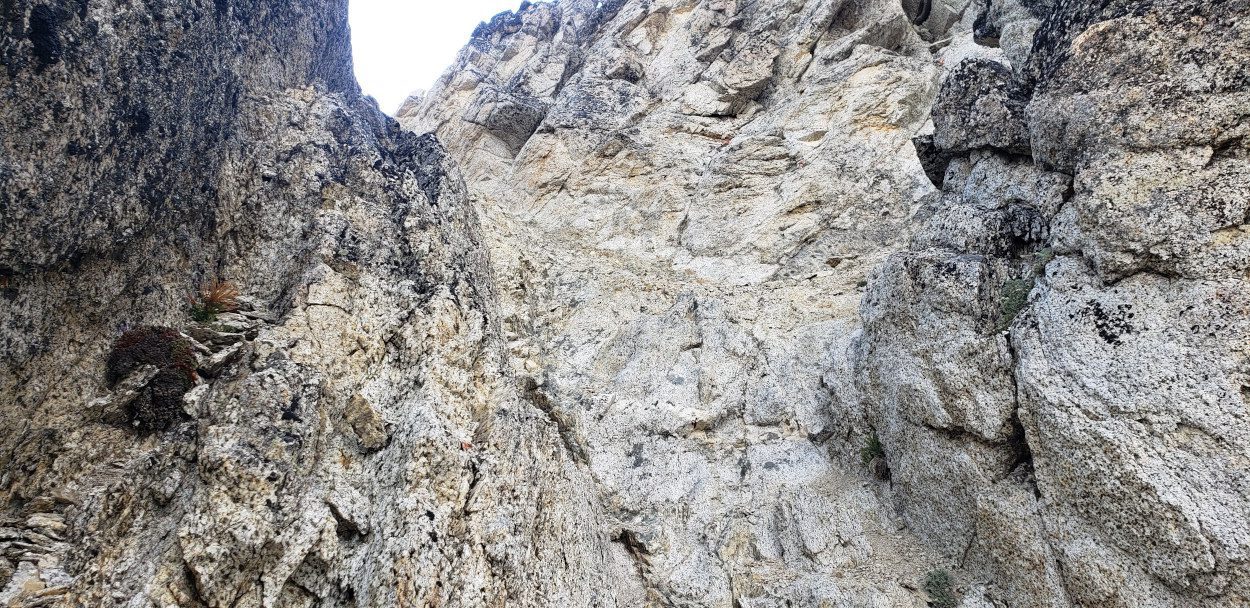
The ridge line between Bigelow and Raven Ridge is by far the most technical part of the entire traverse I did. It begins by going straight down a very narrow gully on Bigelow with a lot of loose dirt in it. Getting to the bottom of this was a very tense 20 minutes. Once out of the gully you then need to work along the side of the next hill. This section was tense to say the least.
There was a constant need to use hands, the rock everywhere was loose and a path is not obvious. Several times I tried going high up on the ridge only to find knife’s edge walking required. I worked my way back down several times only to find how loose the rock was once again. All in all it is a testament to how trying this section can be that I never took a single photo. I don’t remember my hands being free once to do so. As soon as you make it to the other side though it becomes a walk down until you encounter the next hill, Crater peak.
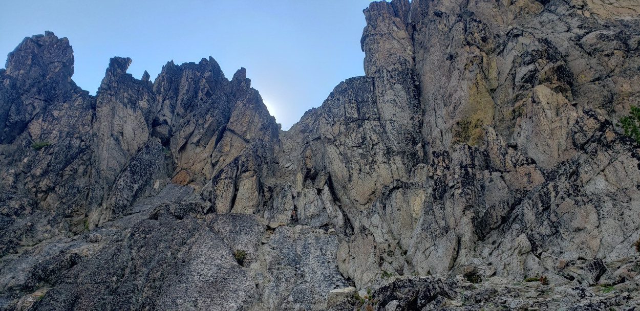
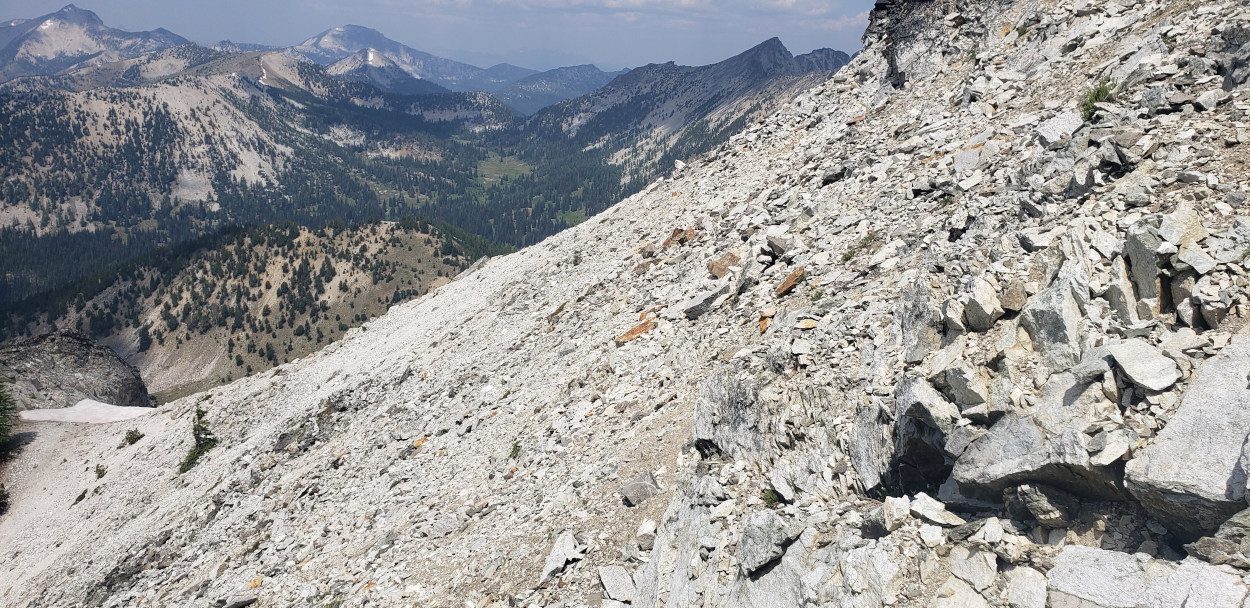
This section is difficult because you cannot see around the other side of Crater peak. So, I had to guess what the best route might be. I decided that I was a little too tired to climb all the way up and over unless necessary. With that in mind I went about halfway up and then worked my way around the other side. I managed to find a narrow gully that looked usable and started down. About 20 feet down I managed to dislodge a huge boulder. With a massive bang and crack it hit several other very large boulders and started a small rock slide. Petrified I sat above it watching as several hundred pound boulders went cascading down the side of the peak. For about 5 minutes I sat there in awe thanking my luck that I was not underneath when it gave way. I managed to make it down this gully, but, it would not surprise me if there is an easier (safer) way to the bottom. You may not want to replicate my GPS data on that one.
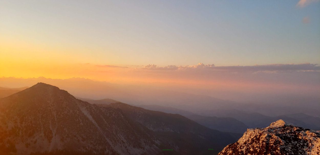
Once at the bottom of the final ridge line that leads up to Raven ridge there are several rock outcroppings. It is immediately obvious that you will need to find a way around these to navigate the ridge. That being said, I kept being faced with a choice. On the climbers right of the ridge, there is forest and straightforward ground to walk on. But the climbers right was rife with mosquitoes. Climbers left of this ridge though, was still in the sun and had a slight breeze which kept the mosquitoes at bay. Unfortunately, the climbers left side also holds some very intense scrambling. I used it as much as I could to avoid the mosquitoes but I encountered a couple of 5th class moves I had to make. Keep that in mind if you need to avoid the bugs too as it gets intense on that side very fast.
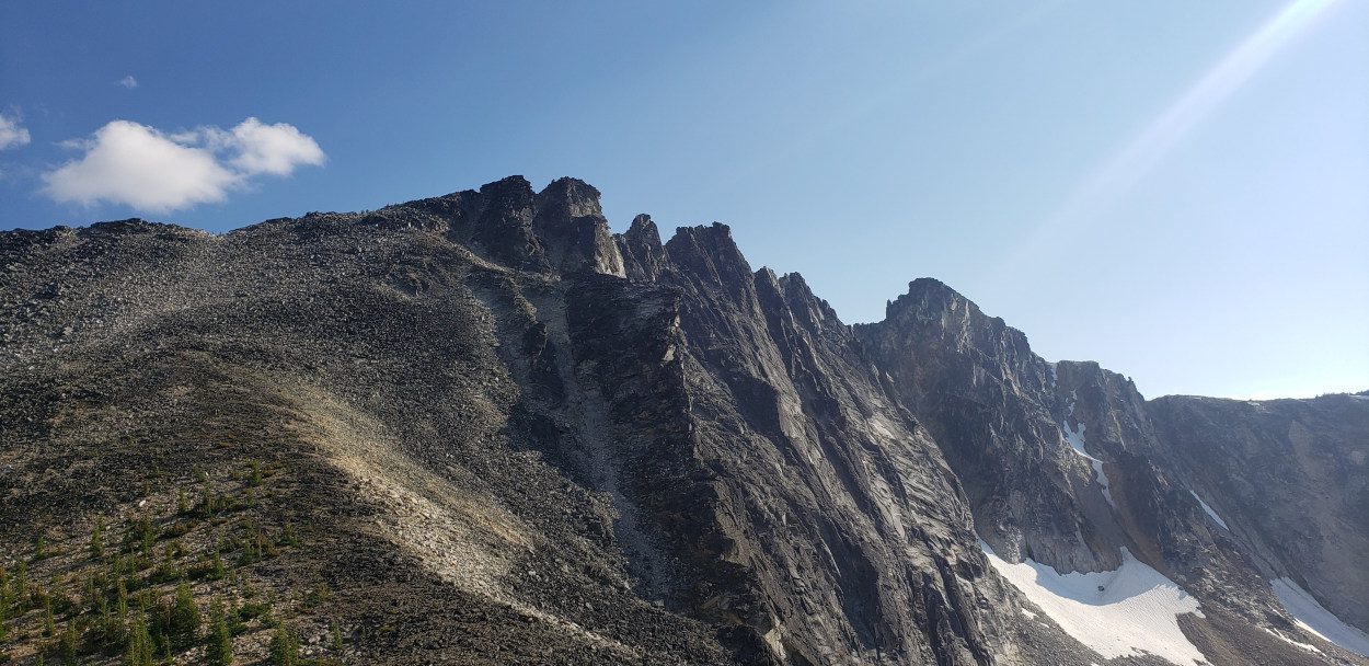
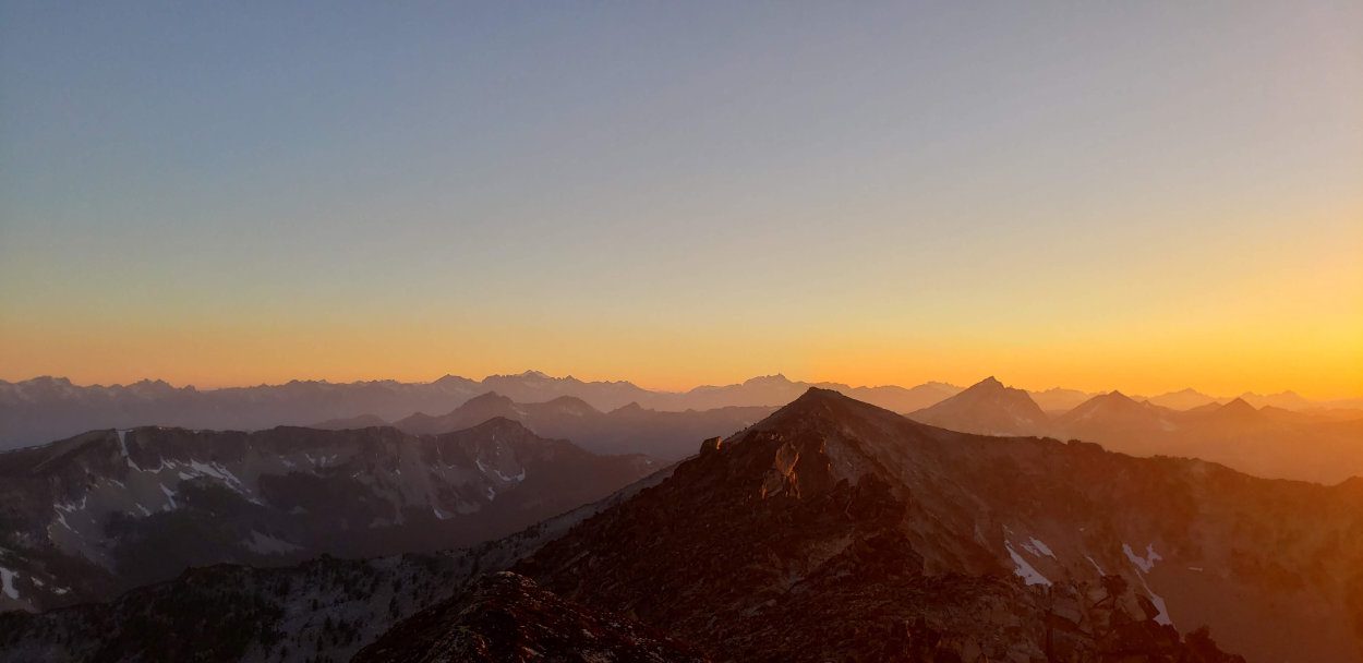
Once past the rocky outcroppings the rest of the climb up to Raven Ridge is on some large easy boulders. My pace slowed considerably by this point due to a mix of dehydration and exhaustion. I finally made it to Raven ridge at 7:30 pm and had Hoodoo in my sights. To speed myself up, I dropped my pack on Libby Peak and headed for the ridge route to Hoodoo. I knew time for the day was running low and if I could make it work the reduced weight would help. I only made it about 1/4 mile from Libby peak though as the scrambling started to get intense. There are good handholds on this first part but the ridge is narrow and requires concentration. At the first near vertical section I was trying to figure out how to ascend when I noticed a rappel station. I must have missed the memo because I did not realize this part of the climb might need rope and so I called off Hoodoo for the day.
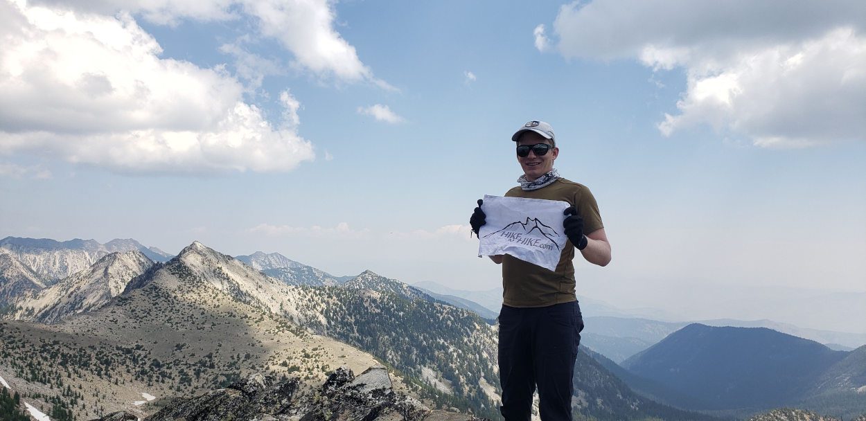
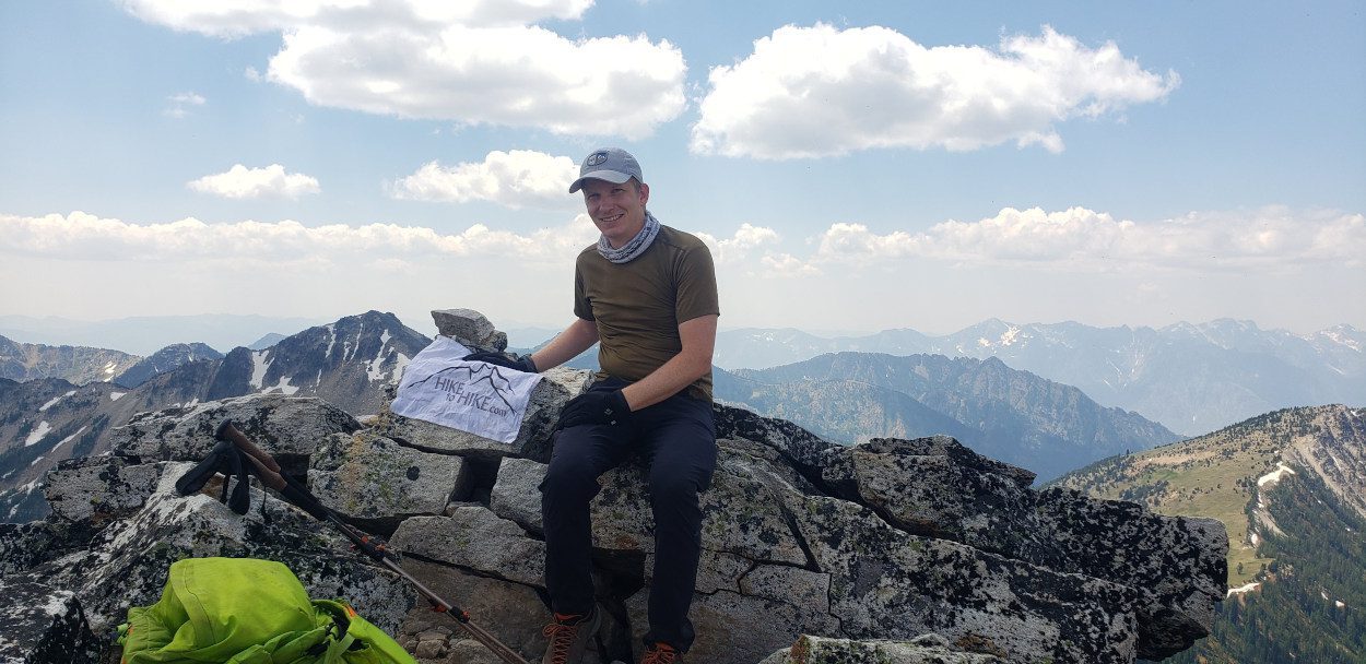
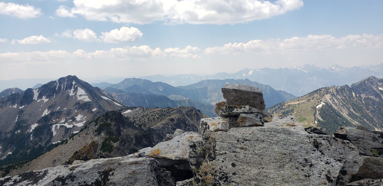
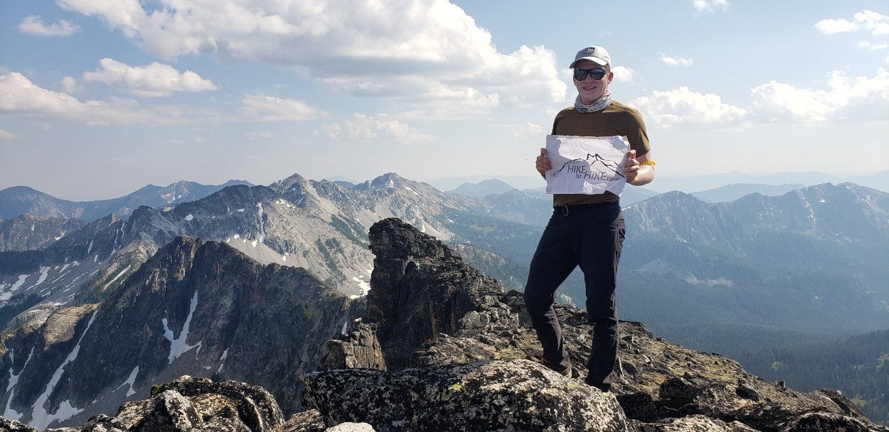
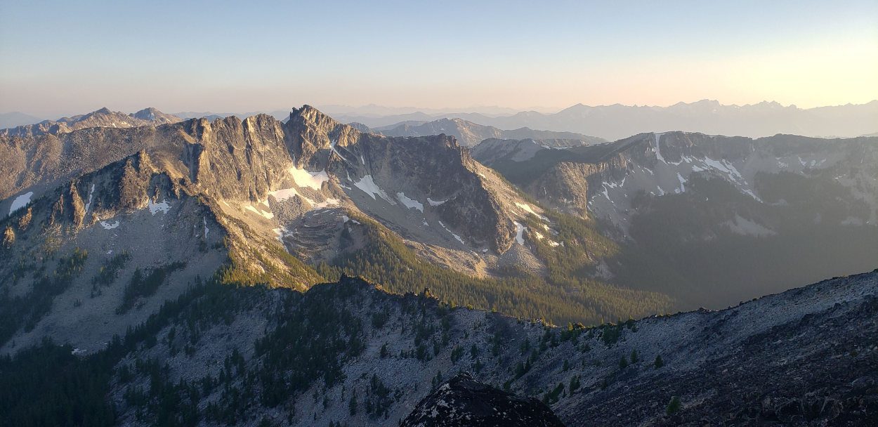
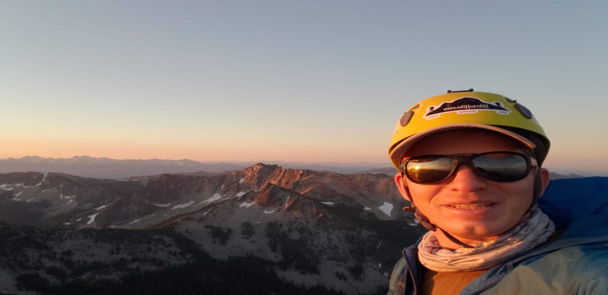
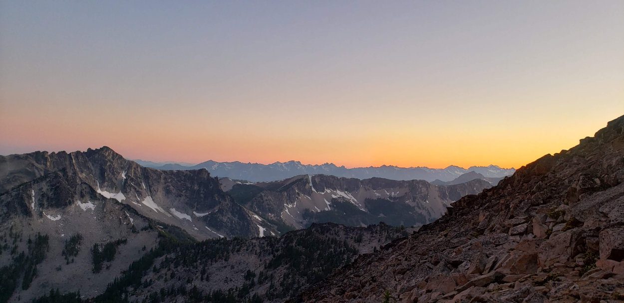
Instead I headed back to Libby peak to grab my pack and Head for Raven, the high point on Raven ridge. This ridge was easy and only requires class 2 and low class 3 to get to the top. By the time I arrived there the sun was starting to set and it gave me a magnificent end to a very long day. I did my best to soak it all in, snap a photo and cherish the moment before heading to the car..
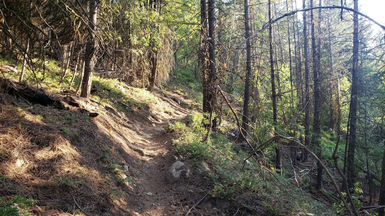
Getting back down to the lakes took a small amount of navigation. But, once that was through, the evening was a simple trail walk back to the car.
The climb of these 4 peaks is a blast if you are looking for some varied terrain and a lot of solitude. Despite the number of people that had signed the trail register as doing the route, I only ran into 2 groups. None of these peaks are going to knock your socks off with technical demands. But all are worthy climbs to say you’ve done the Bulgers. The demands of some sections on the ridges is what I will remember most from my July 4th weekend. By the time I was back at the car, it was midnight. I had enough energy to put a bag meal in my belly and pass out for the next 8.5 hours before leaving the next day.