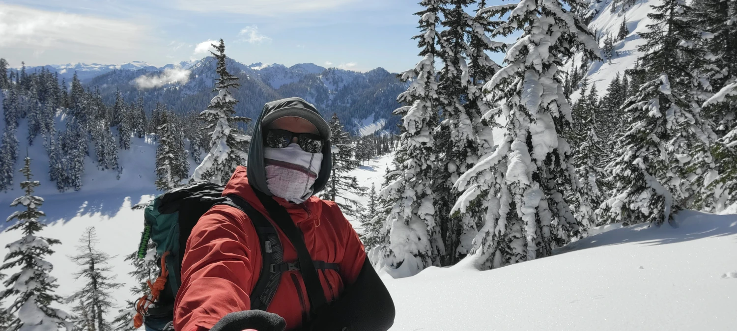
Since breaking my collarbone in the middle of January, getting outside has been difficult at best. I have been able to take short walks, watch the sunset, and lumber around in the local woods. But getting an actual hike in was alluding me. After all, arm slings, surgeries, and freshly placed metal plates are not cohesive with outdoor activities. Following the installation of my new friend in my shoulder, I attempted to snowshoe to the top of Mission Ridge. I got close but failed when my shoulder started to throb.


This week The pain had decreased considerably so I thought I would give outside another shot. I was beginning to go stir-crazy from the lack of exercise and fresh air, so, even just a few minutes of cold air felt like it might be worth the drive. I have been looking at snowshoeing to Lake Valhalla near Steven’s Pass for close to two years now and the weather looked great. Carpe Diem….
Stepping out of the car the air was nice and chilled. The sky was clear and the parking area nearly full. After all of the injuries I have had there is one constant. That first time stepping outside again feels like being a new hiker.
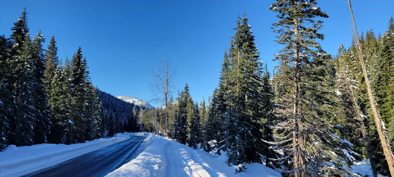
The walk up Smithbrook road (around 3 miles) was fast due to the mass of snowmobile tracks and ski marks left behind by previous adventurers. By the time I reached Smith brook trailhead, I was feeling warmed up and ready for a short backcountry adventure up to Lake Valhalla.
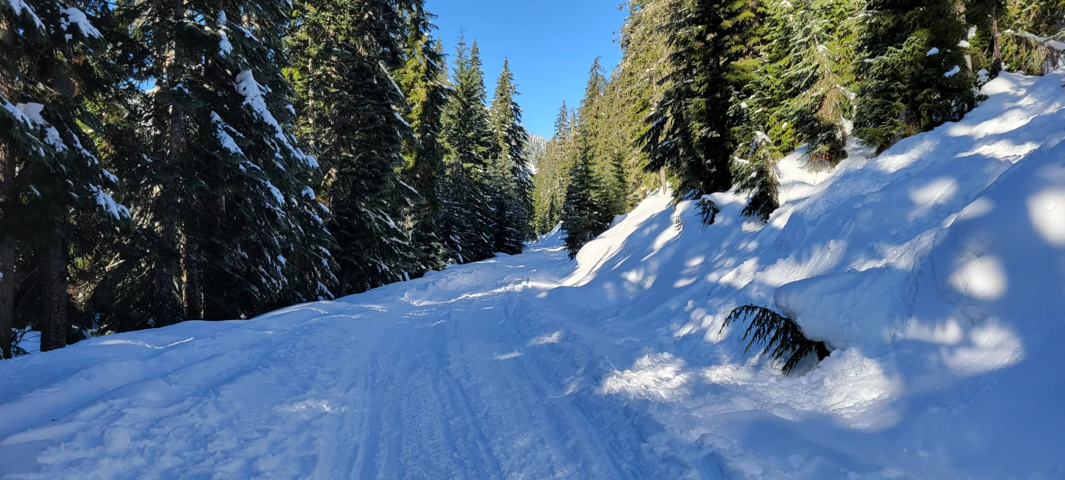
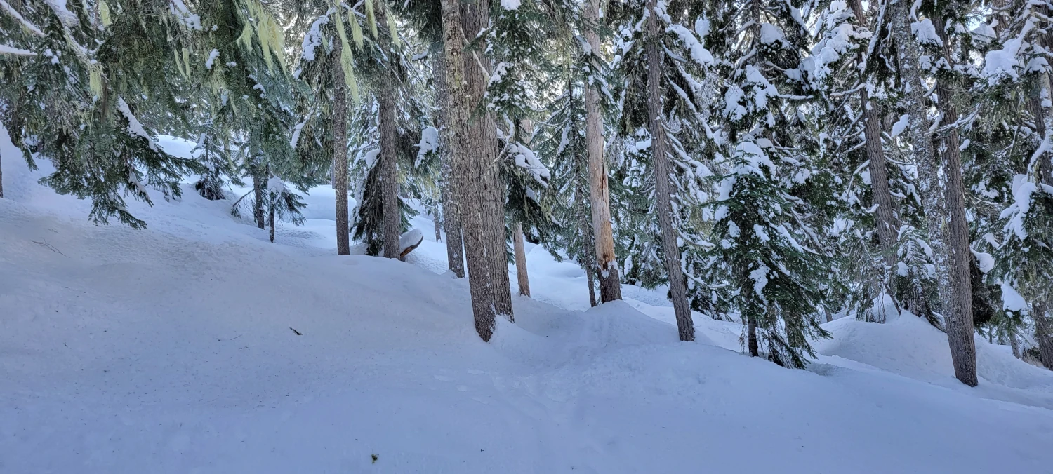
From what I could find online it seemed few people venture up this way each year. With that in mind I was expecting to see few other travelers. For the first few hundred feet after leaving Smith brook road there were a few good skiing tracks, one (painful-looking) posthole track, and no snowshoe tracks. I followed along the skin tracks the best I could until they started to head uphill. I was in such a blissful state just being out in the mountains that I paid little attention to where the tracks were leading.
If you leave from the Smithbrook roadside, two lakes are accessible from here. Judging by the direction the skin tracks I was following were headed, they were going to Lake Lichtenwasser, not Lake Valhalla. But in my blissful state, I was not checking my map. Once I did, I realized I should be heading in a different direction and quickly changed route. But, getting back on the route was a huge pain (at least in snowshoes).


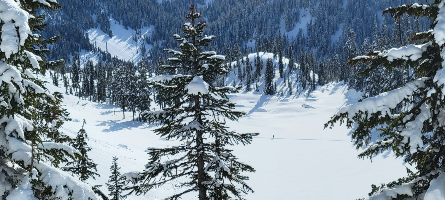
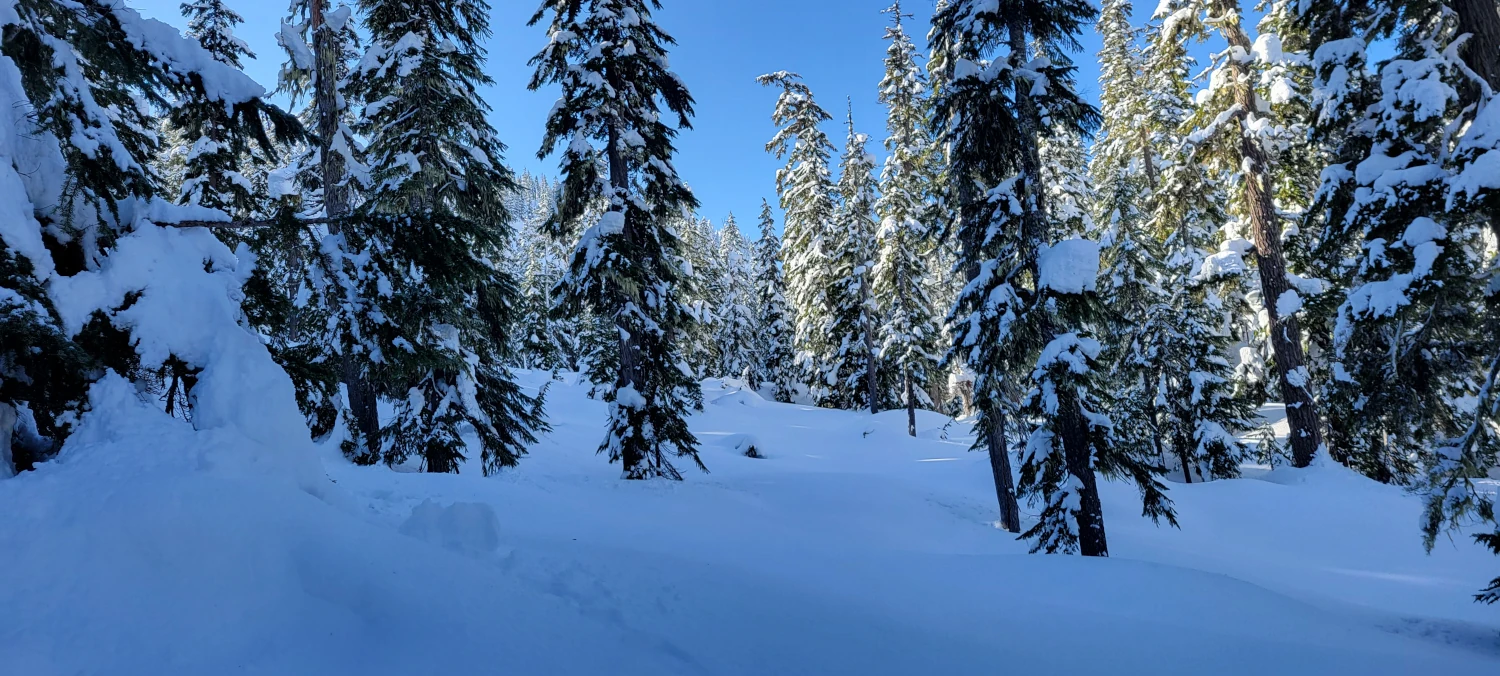
Once I was outside of the skinning tracks the snow was very deep and I would sink 2-3 feet with my snowshoes on. With only 1 arm and no poles the constant sink, step light motion wore me out considerably. I found myself doing 10 steps and then taking a 30-second break. By the time I was around halfway to (not up) the main ridge line that separates the smith brook side from the Lake Valhalla side I was already accepting the day might end in defeat. Despite that, I figured I could make it as close as possible to Lake Valhalla on my snowshoes, enjoy the beautiful weather, and go home happy whether I saw the lake or not.
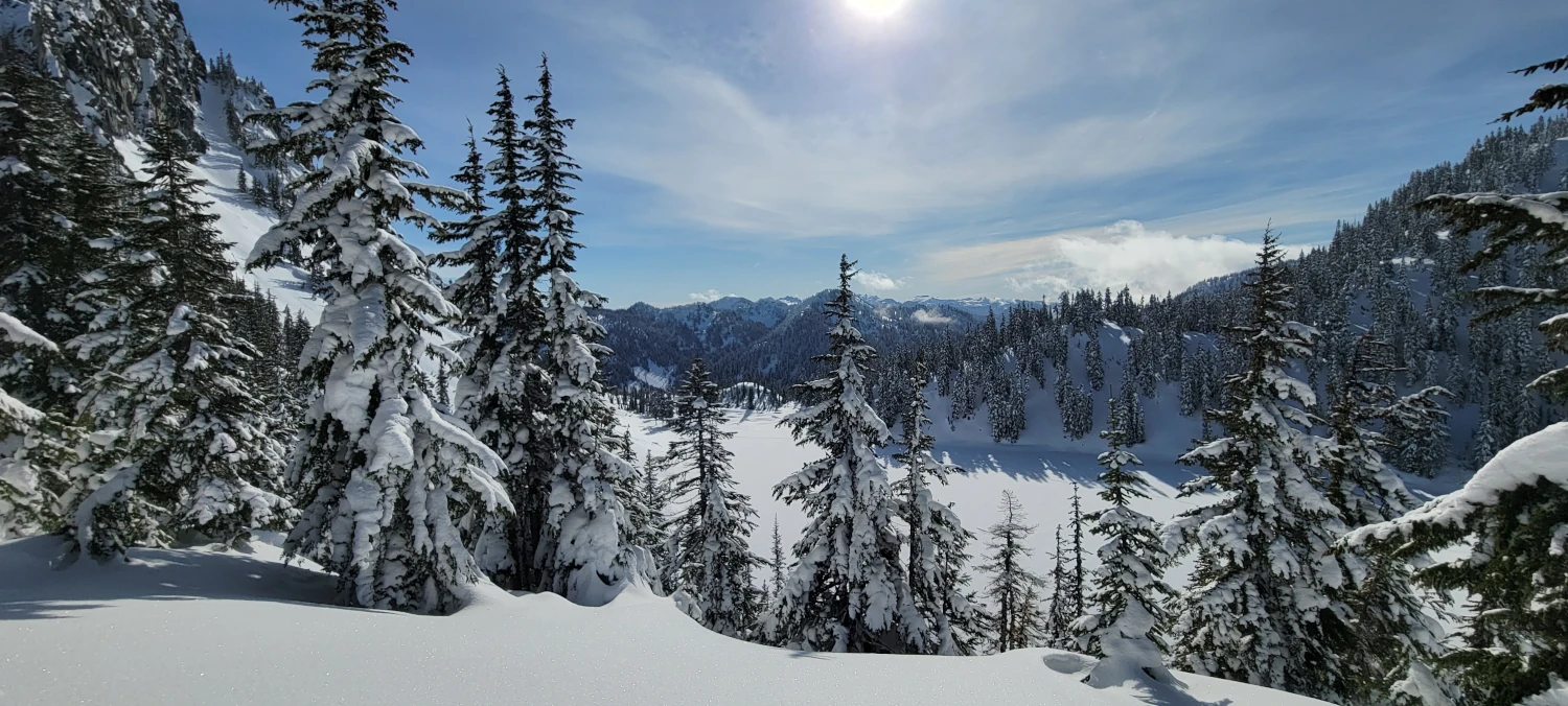
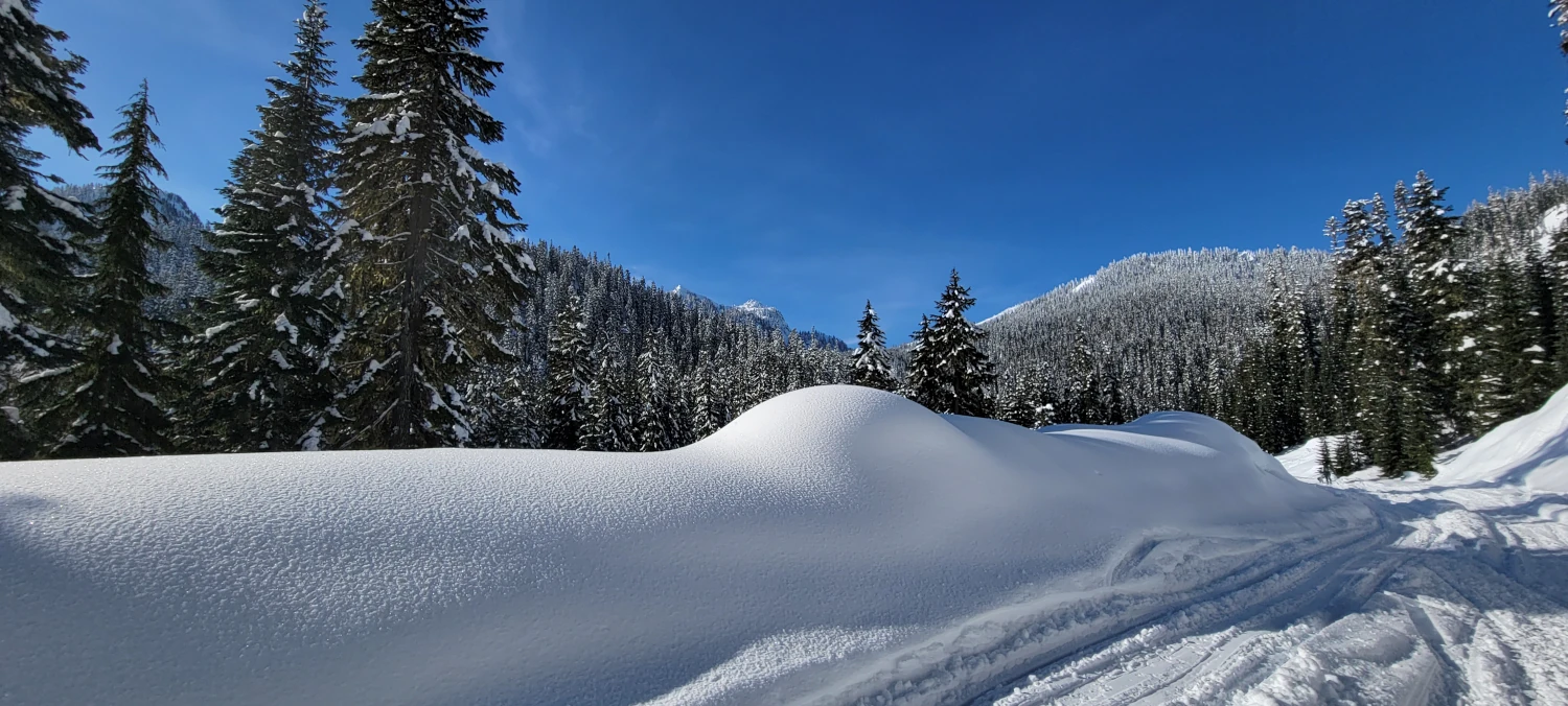
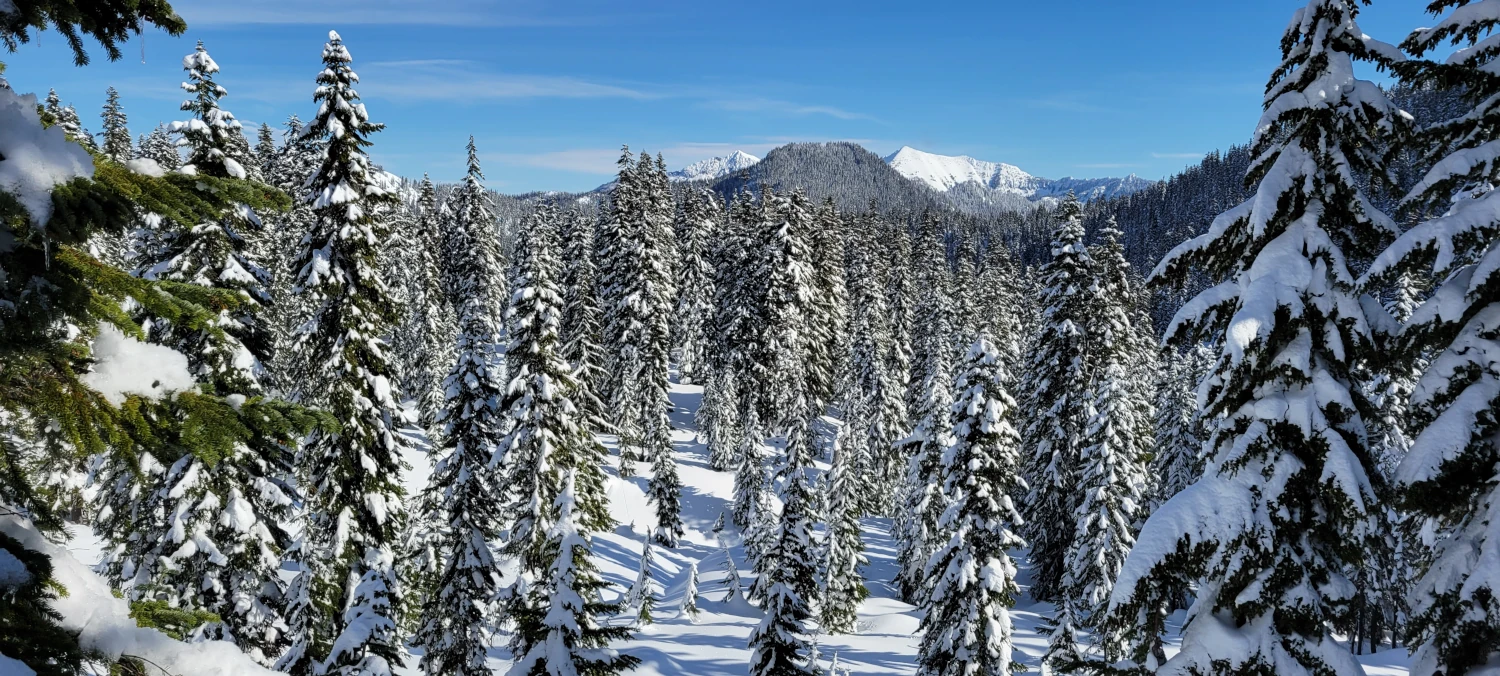
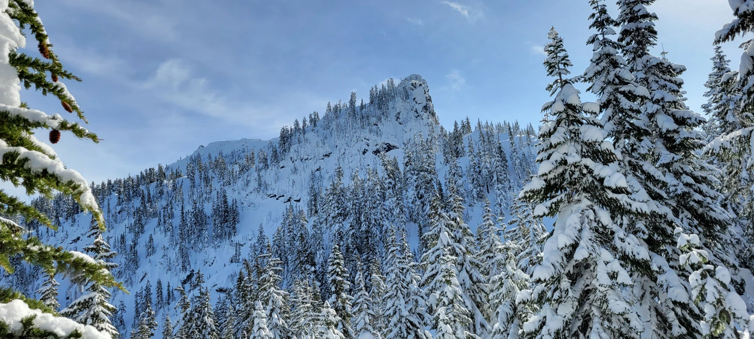
After around 4600ft (1400 Meters) the forest opens up and the views out toward Lake Wenatchee and Nason ridge are quite the spectacle on a day like today. Random peaks poke out from behind Nason Ridge and the whole area blanketed in snow looks like some far-off remote landscape despite being 2-3 miles from the highway as the crow flies. Those views easily took my mind off the burn I was feeling in my legs and helped me to push forward.
Making it to the top of the ridge above Lake Valhalla on snowshoes was tough. It is steep enough in spots that I had to jam my foot down and pseudo-cut steps using the snowshoes. There were no tracks anywhere so navigation skill to get through the trees and around any avalanche slopes was all on me. If you go this far, be prepared. I saw at least one other person on all trails who said they got lost thinking this snowshoe route to Lake Valhalla had an actual trail. I assure you there is not.
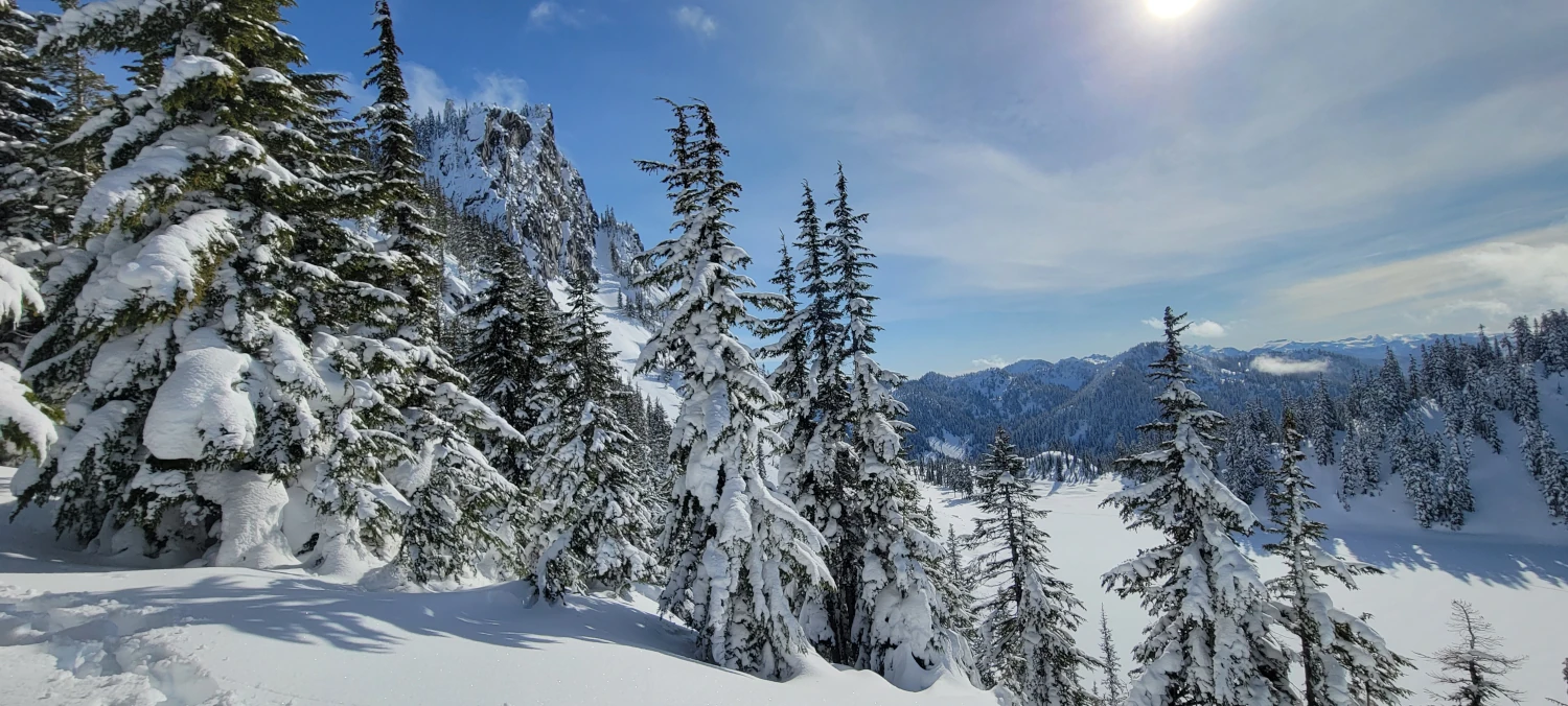
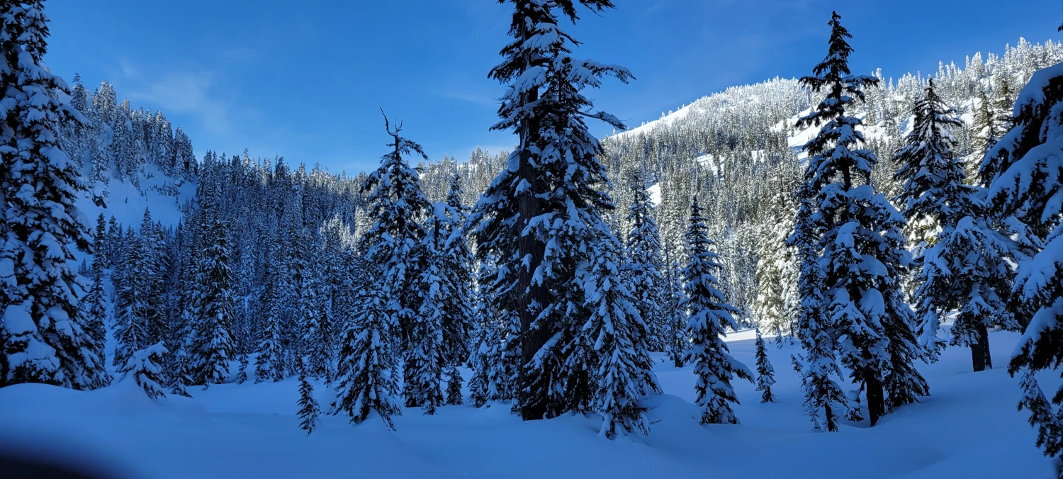
I managed to make it to the top of the ridgeline where I could see Lichtenberg and McCausland Mountains and got a peekaboo view down to the lake proper. From what I read in other sources, there is a route down to lake Valhalla in winter. But, in my condition, I felt like the ridge view was more than a satisfactory achievement for the day.