I developed a serious, prolonged leg cramp during my flight back to the US, forcing me to delay my climbing plans by several days. With a shortened timeframe, I chose to attempt Black Cap Mountain after last year’s failed attempt due to a sinus infection.
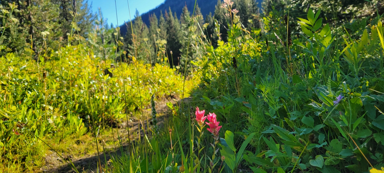
The hike over Slate Pass and out to Fred’s Lake was just as monotonous as on my previous climbs of Carru and Osceola, as well as Lago and Ptarmigan. The Robinson Creek Trail is relatively flat, making for quick progress. Things only started to get interesting once I reached Fred’s Lake.
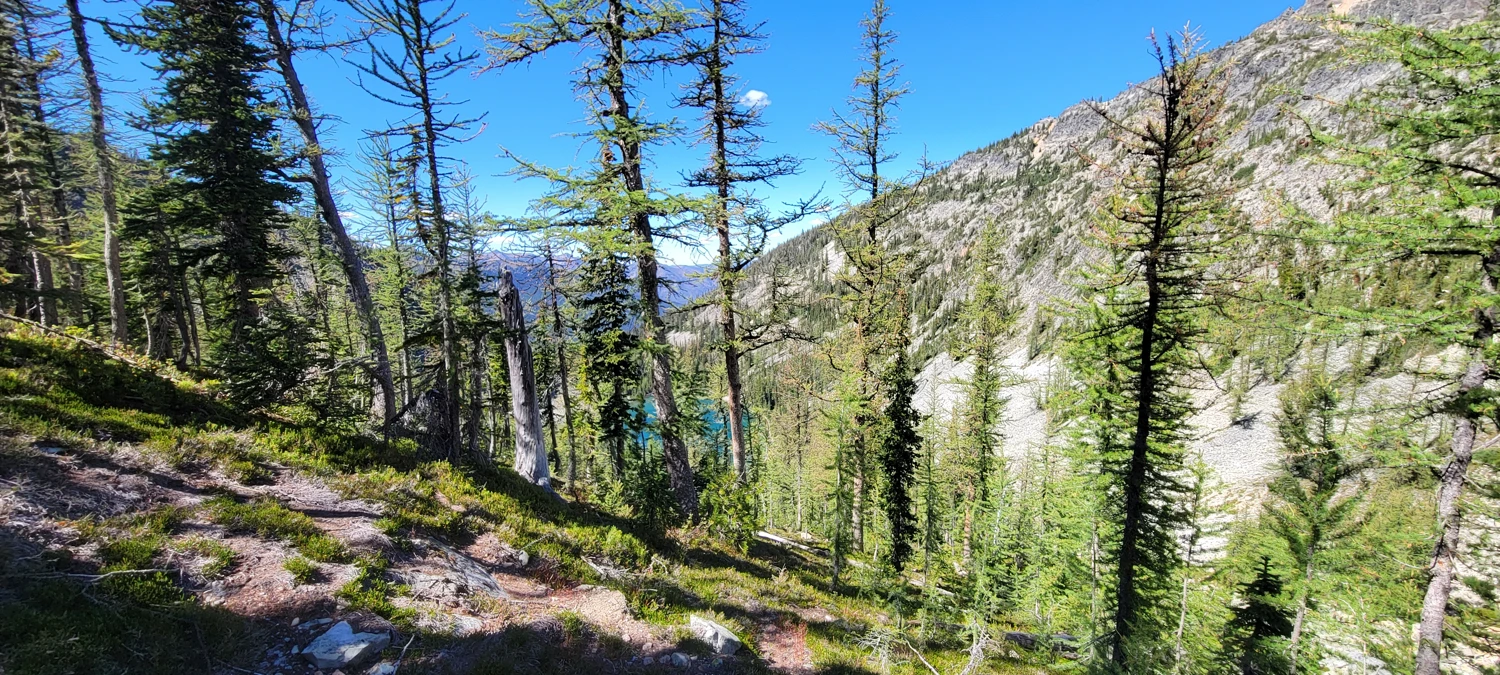
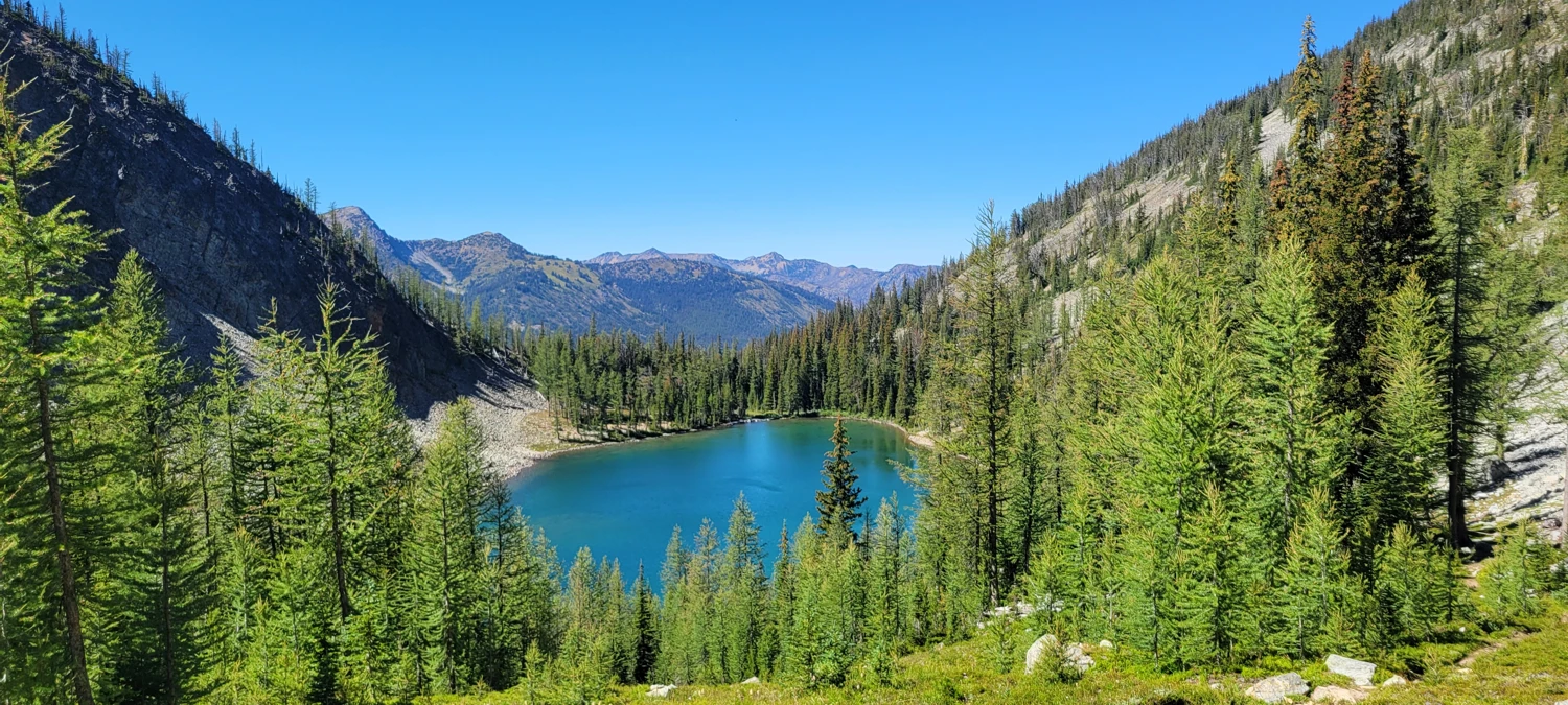
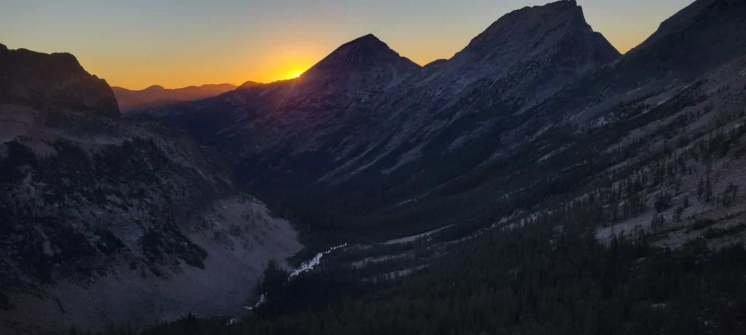
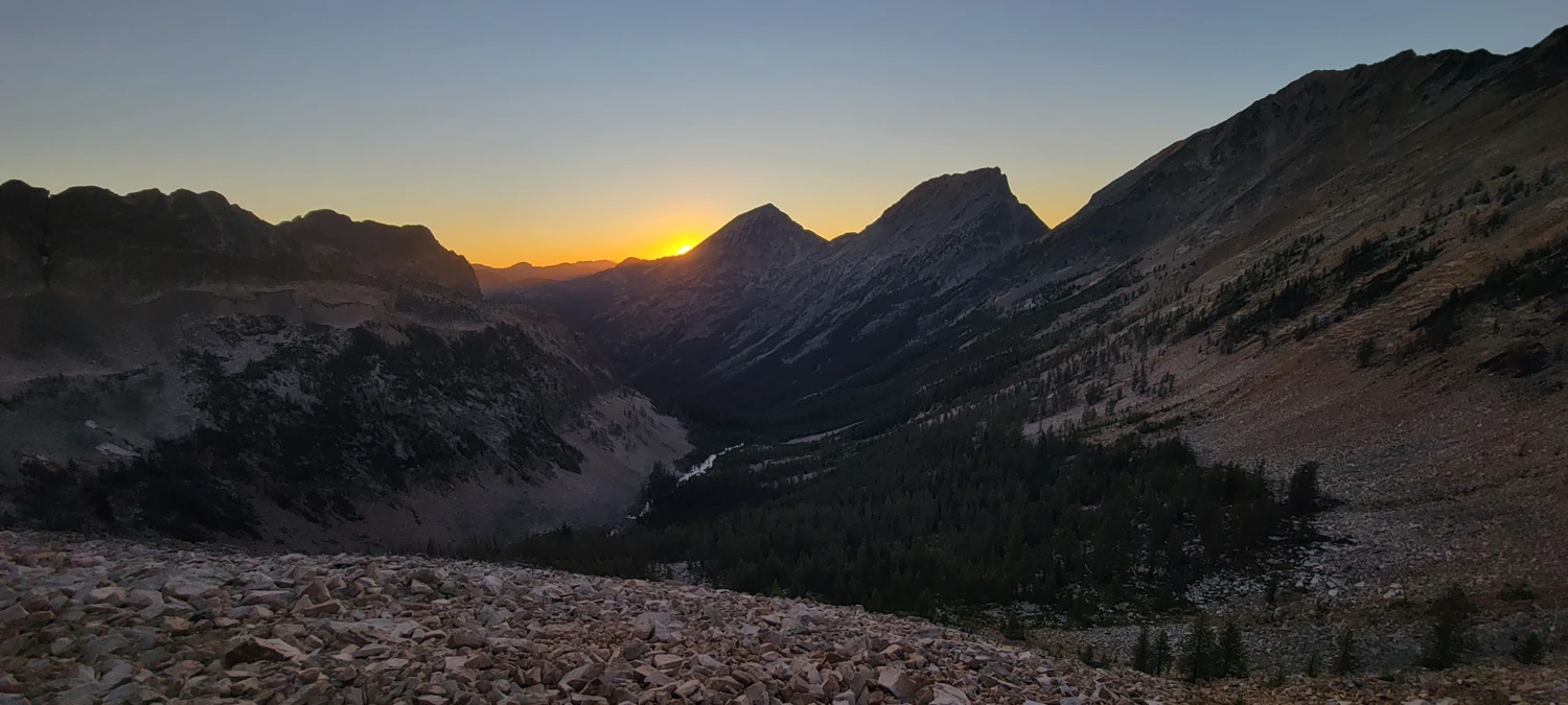
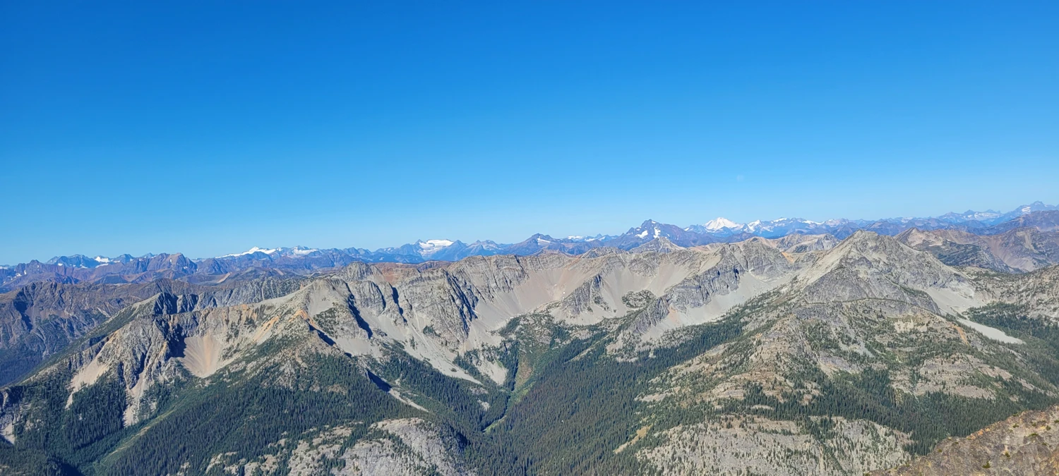
Crossing the pass above Fred’s Lake was far easier this year. With no snow, a well-cut trail led up and over, revealing an incredible view down into the Eureka Creek Valley—definitely one of my favorites in the North Cascades.
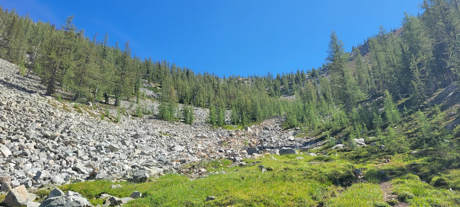
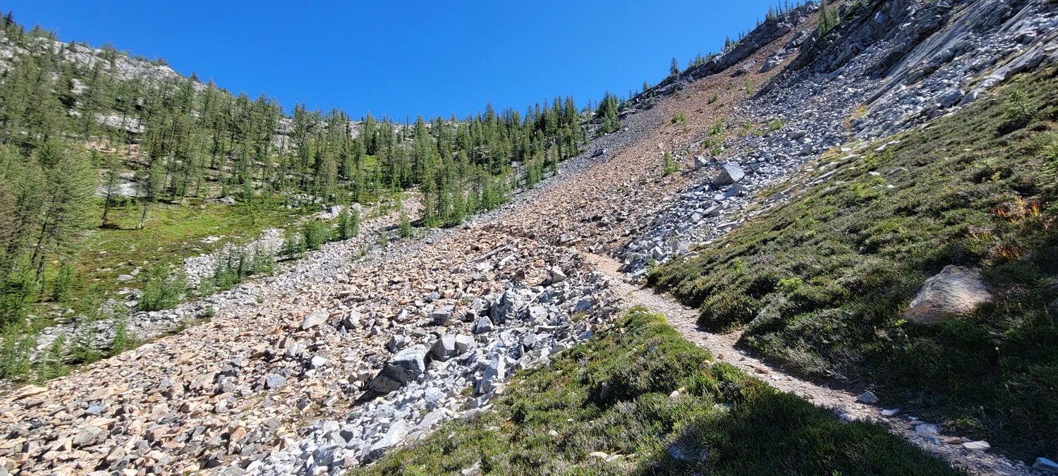
The hike through Eureka Creek Valley and up to Shellrock Pass was a mix of easy trail and bushwhacking. It’s easy to lose the trail in the brush, but following the creek on its south side towards the obvious pass eventually leads to the river crossing at 48.81626, -120.54192.
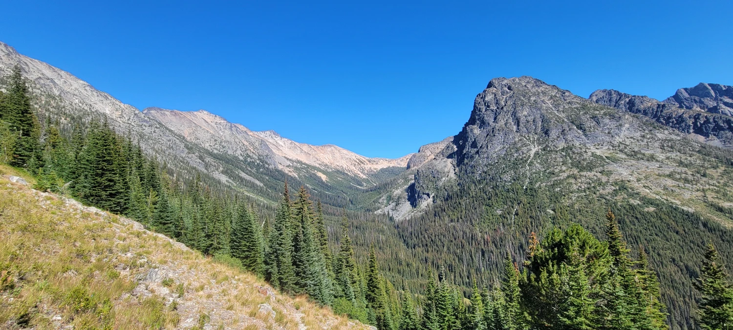
I had hoped for water at a small seasonal tarn near the pass, but wisely filled up in Eureka Creek. The tarn wasn’t there this year, so my stash of water was just enough for dinner and about ¾ of a liter to carry up Black Cap Mountain the next day. I set up a bivy just below the pass, had dinner, and watched the sunset while staring up at the climb ahead.
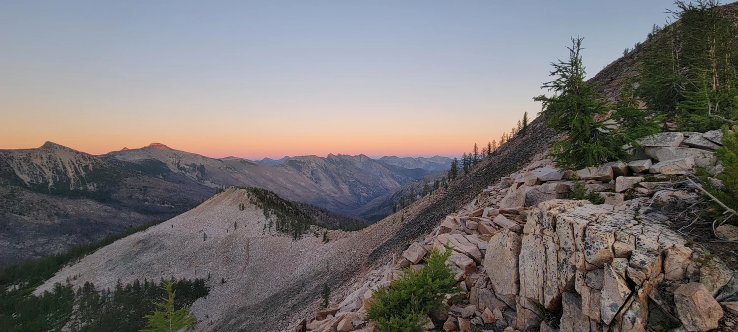
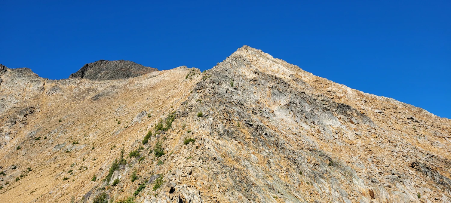
The next morning, I woke early around 6 a.m., ate a small breakfast, and began the climb. Initially, I tried traversing along the west side of the ridge, but the awful rock and steep slope made travel difficult. Moving up to the ridge proper was much easier—about 2–3 meters wide and easy to walk along. From below, the ridge looks intimidating, but the majority of the climb turned out to be a class 2 scramble with maybe one or two class 3 moves.
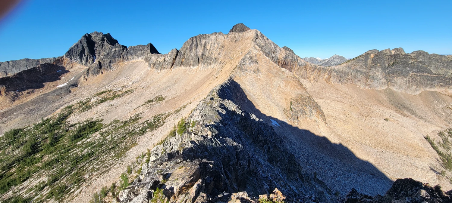
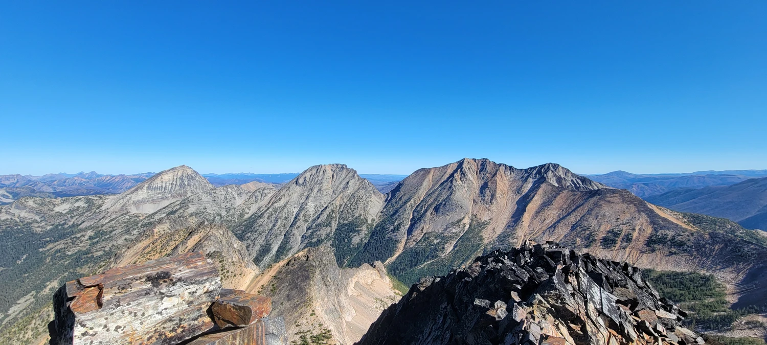
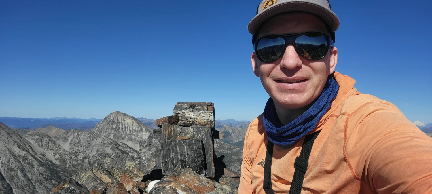
I reached the summit of Black Cap Mountain in about two hours. Standing on top, I felt disappointed I hadn’t pushed for it the year before, but happy to finally complete it this time.
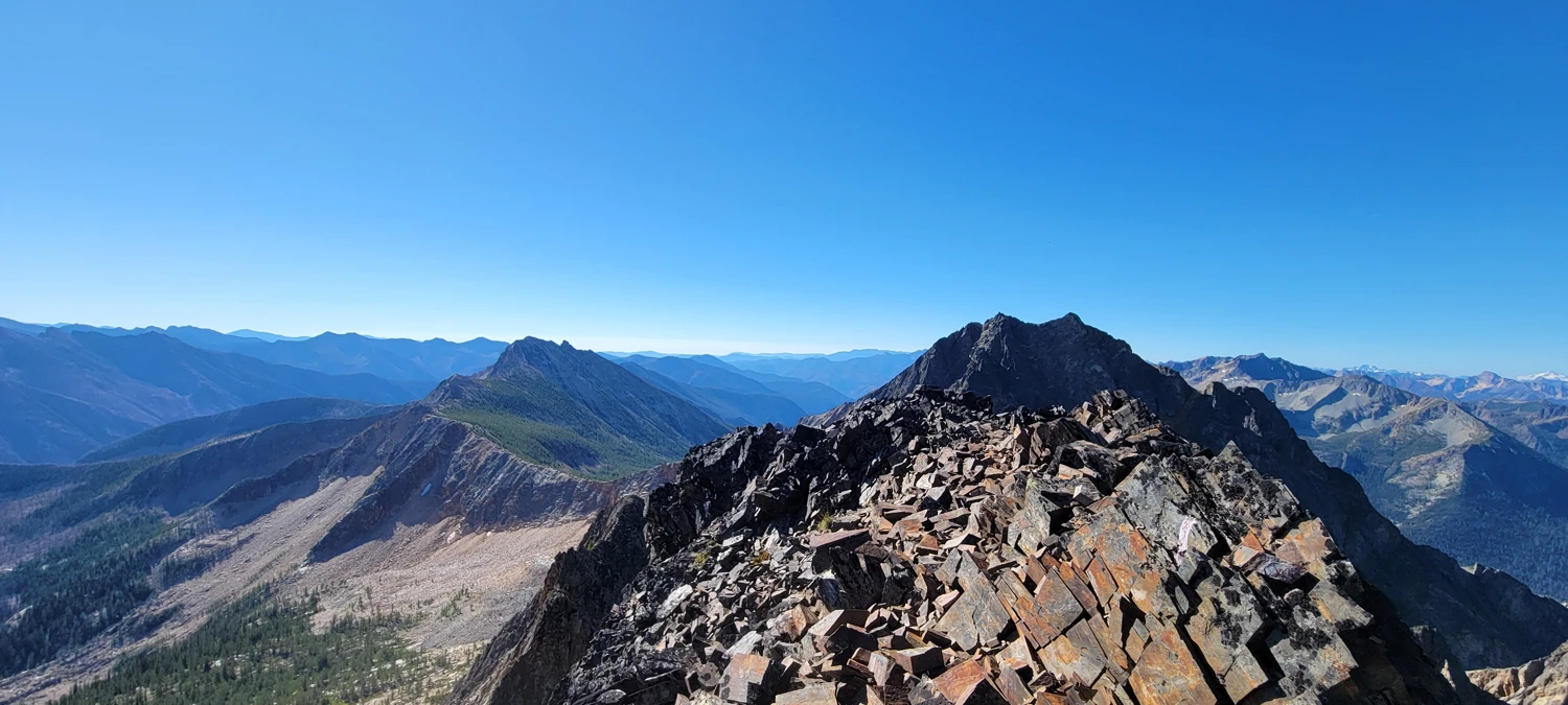
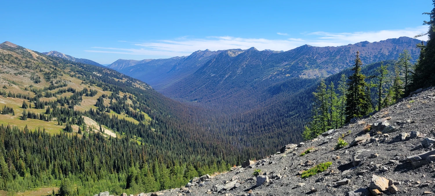
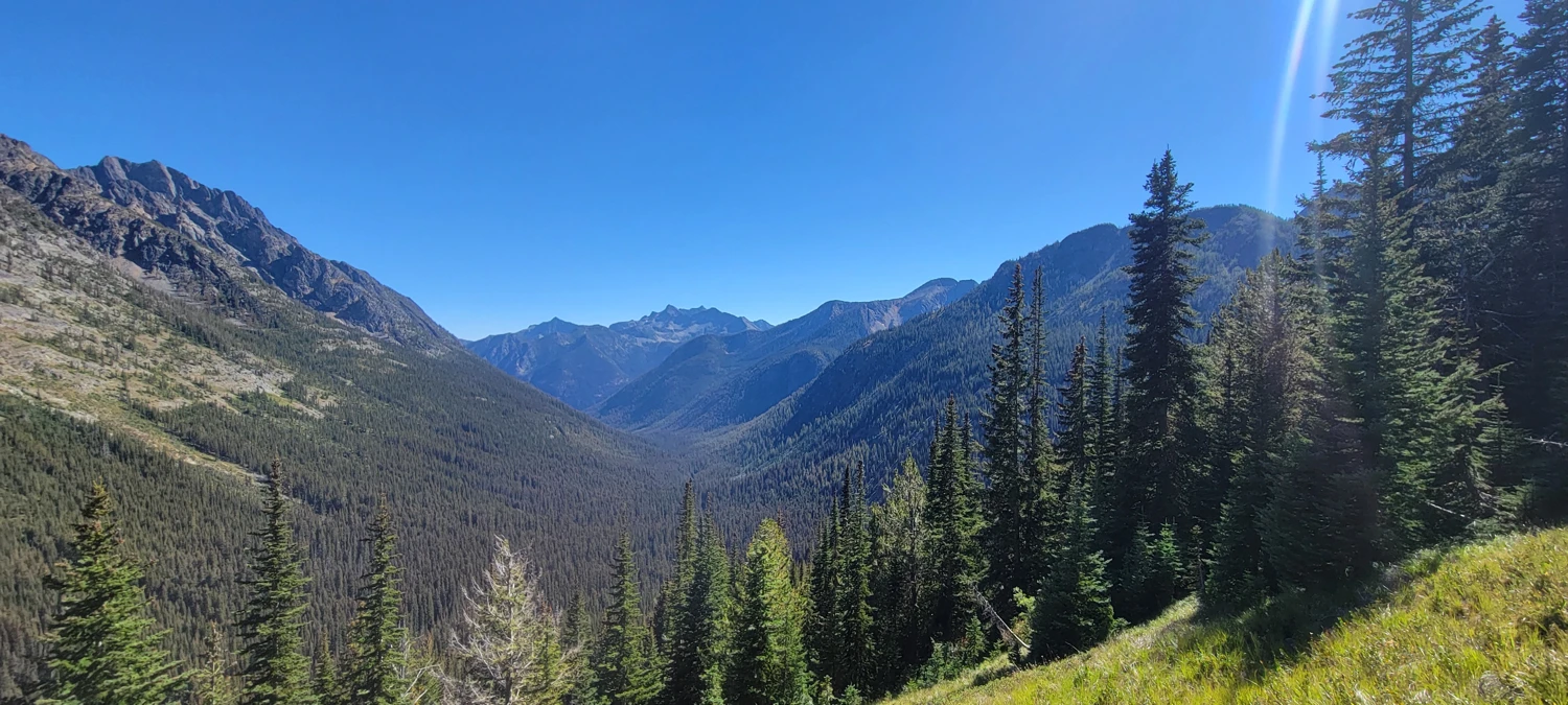
With time left, I wanted to attempt Lake and Monument. I descended into the valley and started toward them, but the heat of the day and lack of water soon had me feeling the onset of heat stroke. I made the smart call to retreat back to Eureka Creek for water and nourishment, saving those peaks for another day. I’ll return for them via the newly cleared Monument Creek Trail.