


When I first looked into the Cassidy Blimit Traverse in Arthur’s Pass National Park, I was hoping for a day packed with scrambling and rugged ridgeline travel. The reality was a bit different, but no less worthwhile.
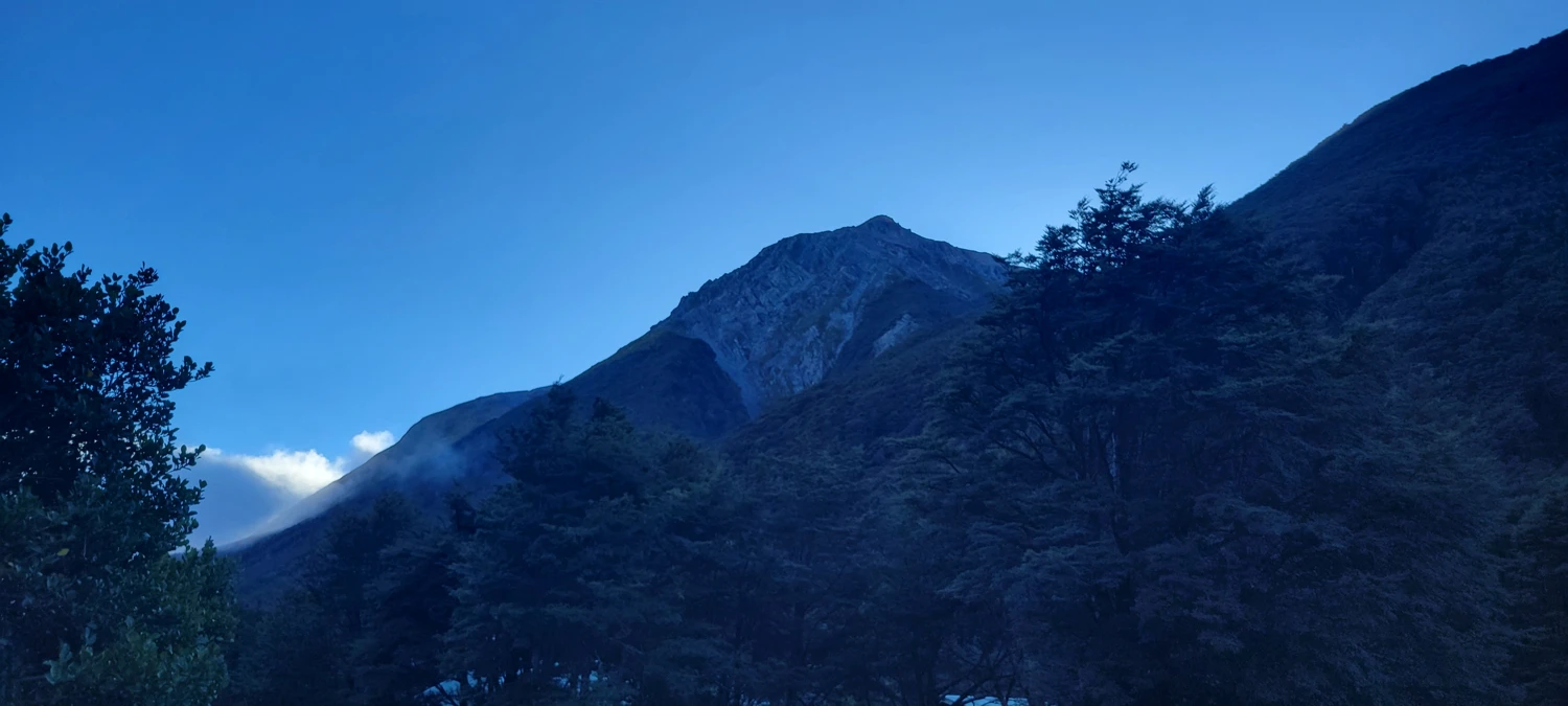
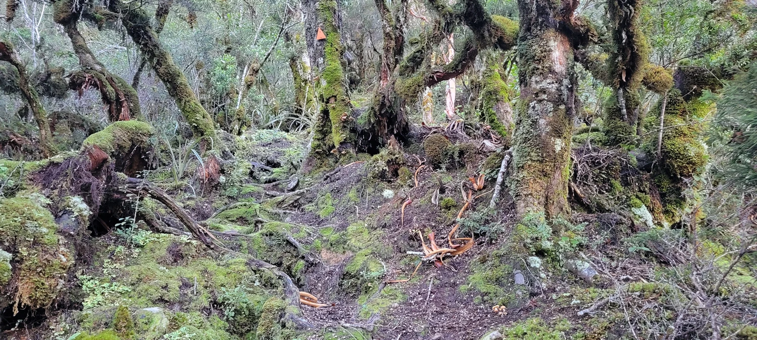
Like many good days in the Southern Alps, this one starts steep. Con’s Track wastes no time in waking you up, heading straight uphill through thick beech forest with almost no let-up. It’s a relentless ascent to treeline, and by the time I popped out above the bush, I’d already gained a fair bit of elevation — and leg burn.
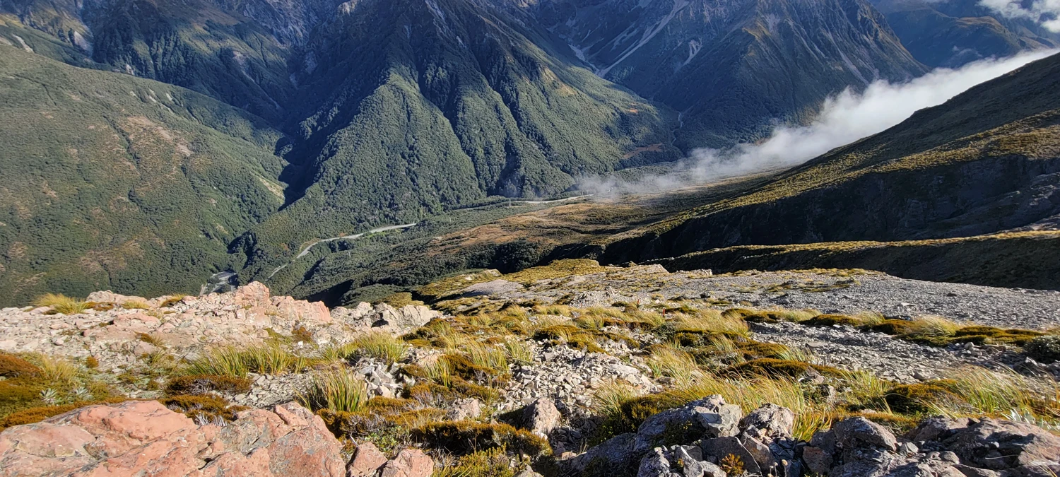
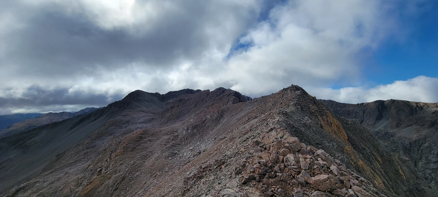
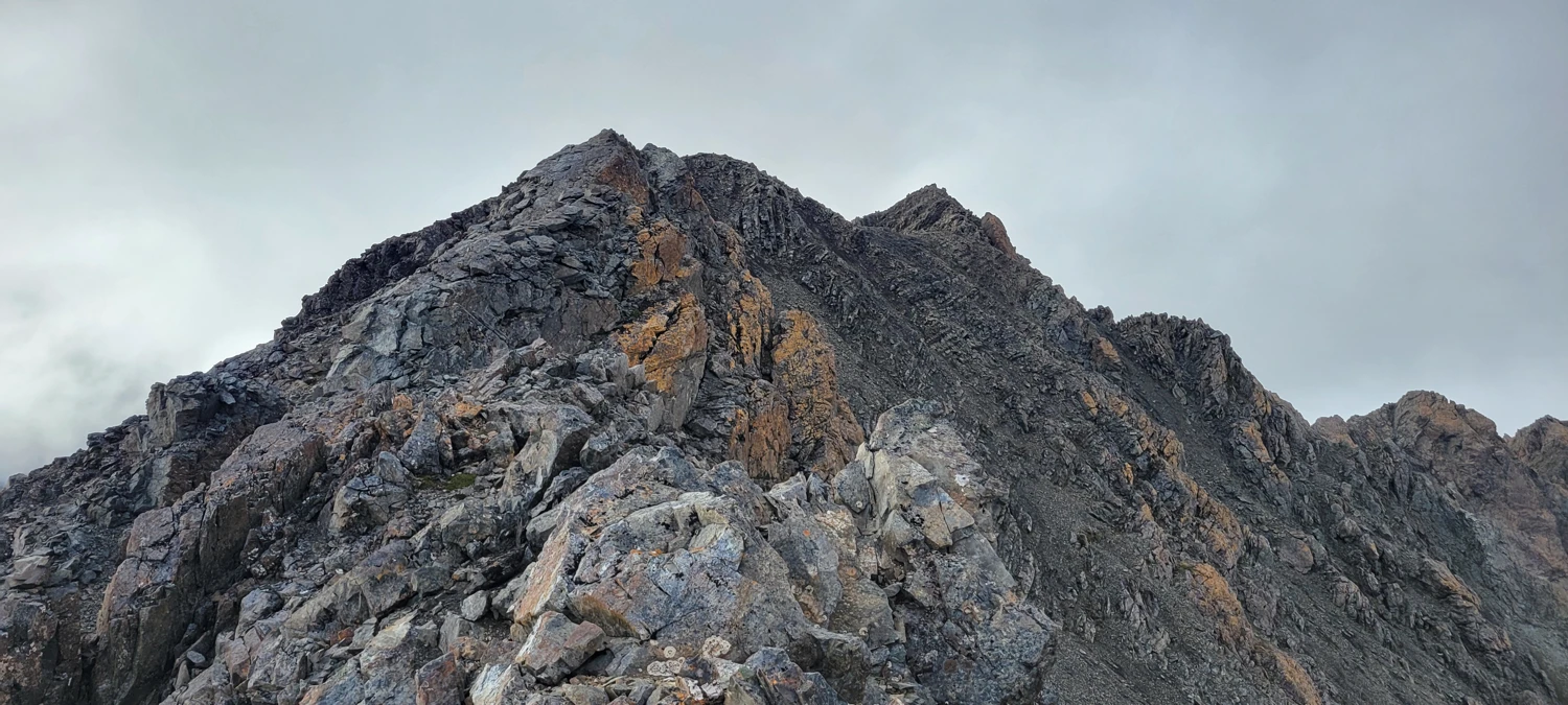
Once I cleared the trees, the off-trail section began. From here, the route climbed through loose scree slopes toward the summit of Mount Cassidy. Looking up from the valley, the ridge gave the impression there might be some fun scrambling to be had — maybe even some hands-on sections to spice things up.
Not quite.
The route up to Cassidy turned out to be mostly just a steep hike through shifting rock. It's around 1,100 meters of vertical gain in roughly 4 km, and although it’s an efficient climb, it’s more about steady footwork than scrambling moves.
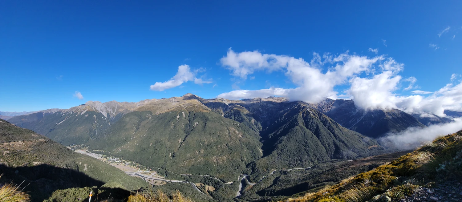
Still, reaching the summit offered expansive views (on a clear day) and a good sense of accomplishment for the morning's efforts.
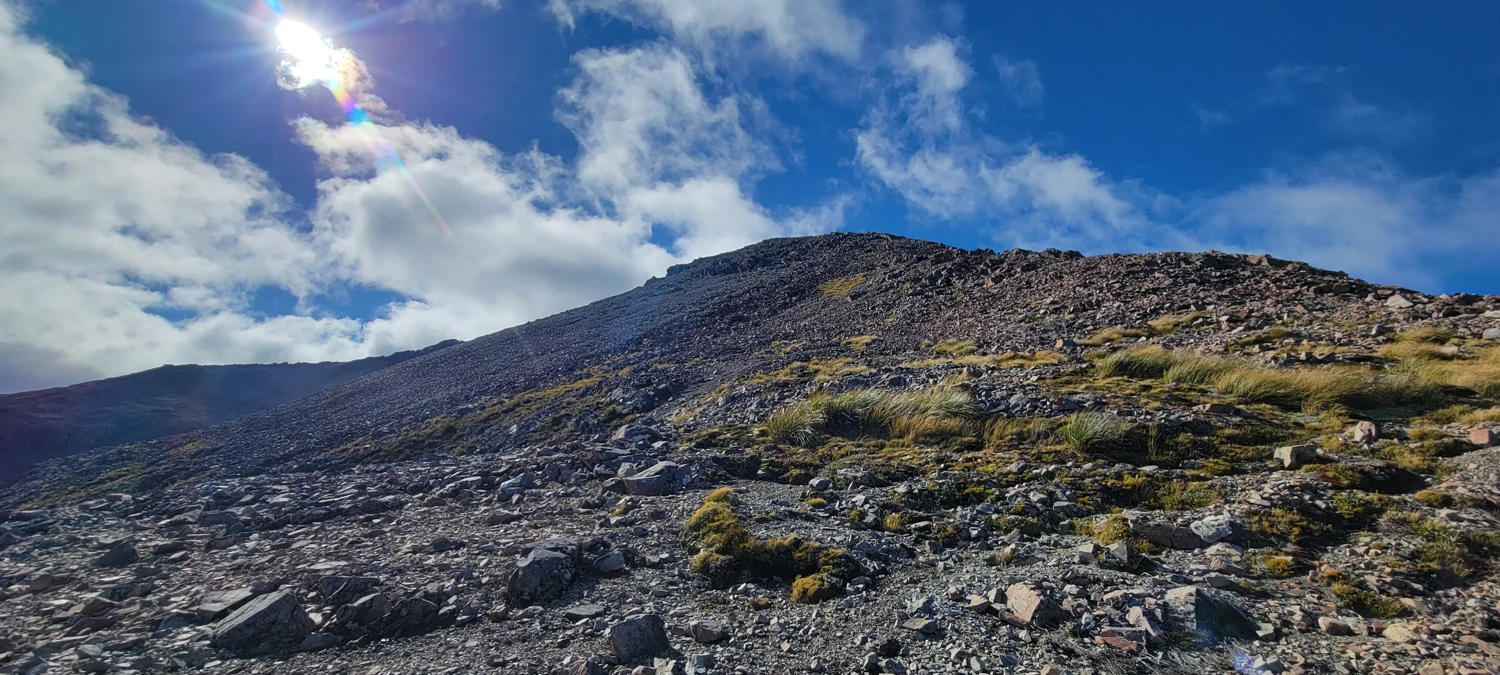
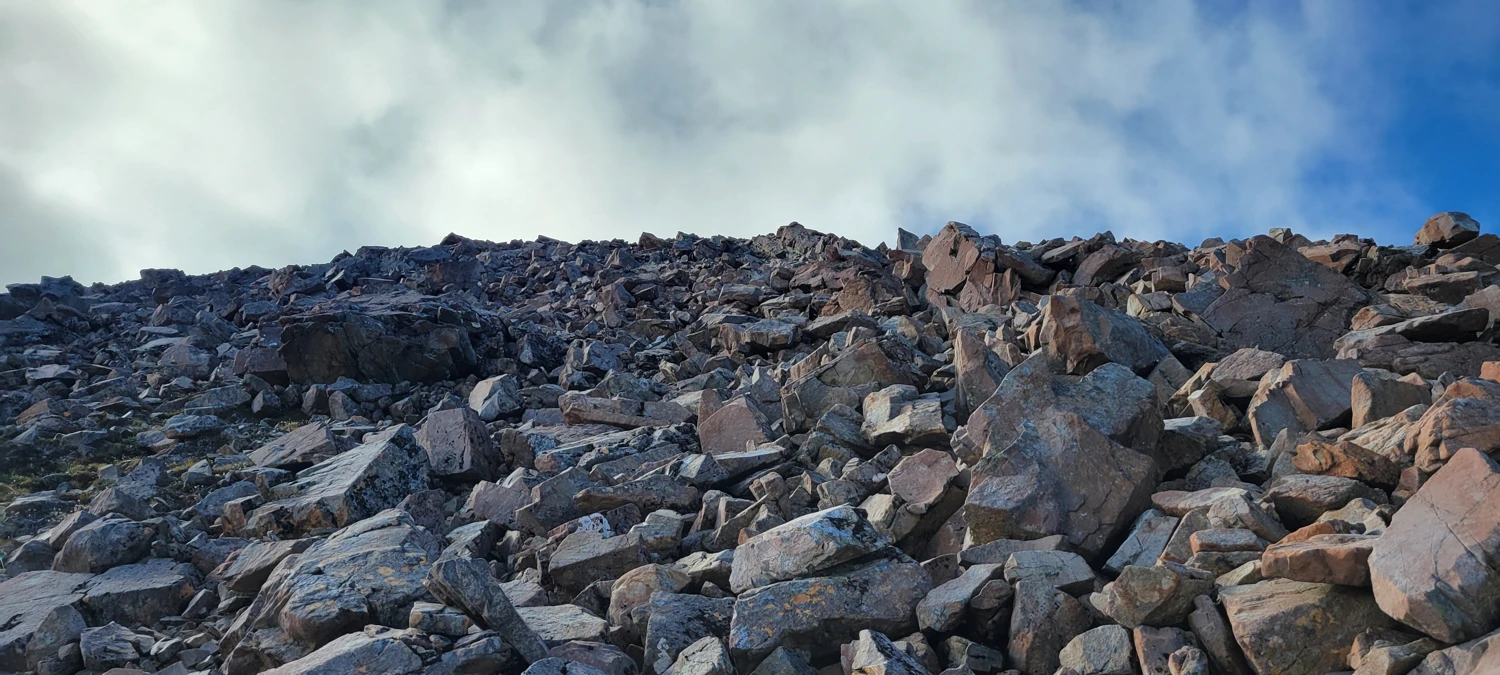
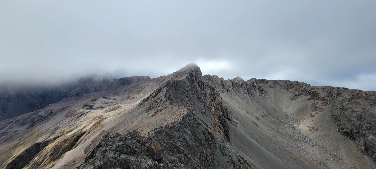
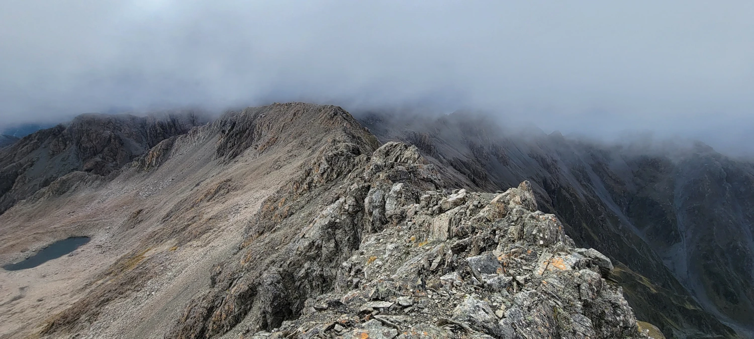
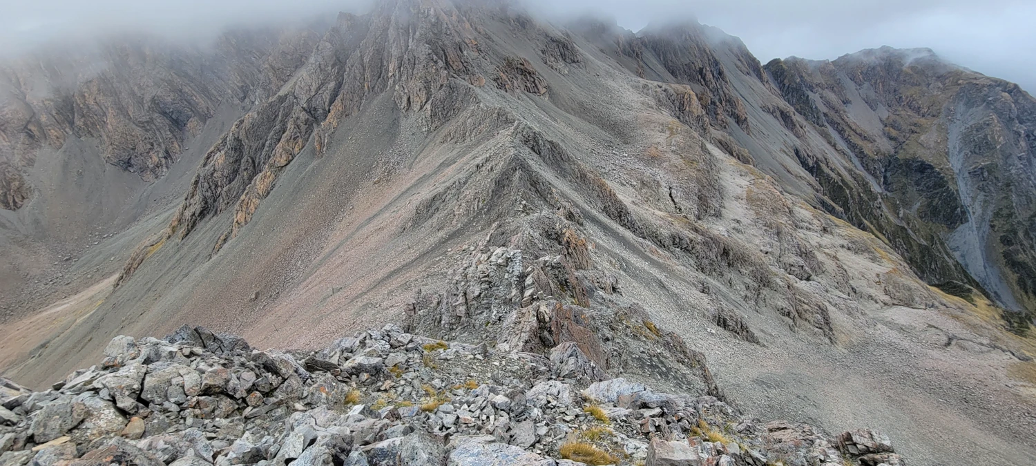
I hoped the ridge to Mount Blimit would provide the scrambling that Cassidy didn’t. But the traverse continued in the same fashion — more loose scree, and still very little actual scrambling. As I moved toward Blimit, clouds started to roll in, limiting visibility along much of the ridge.
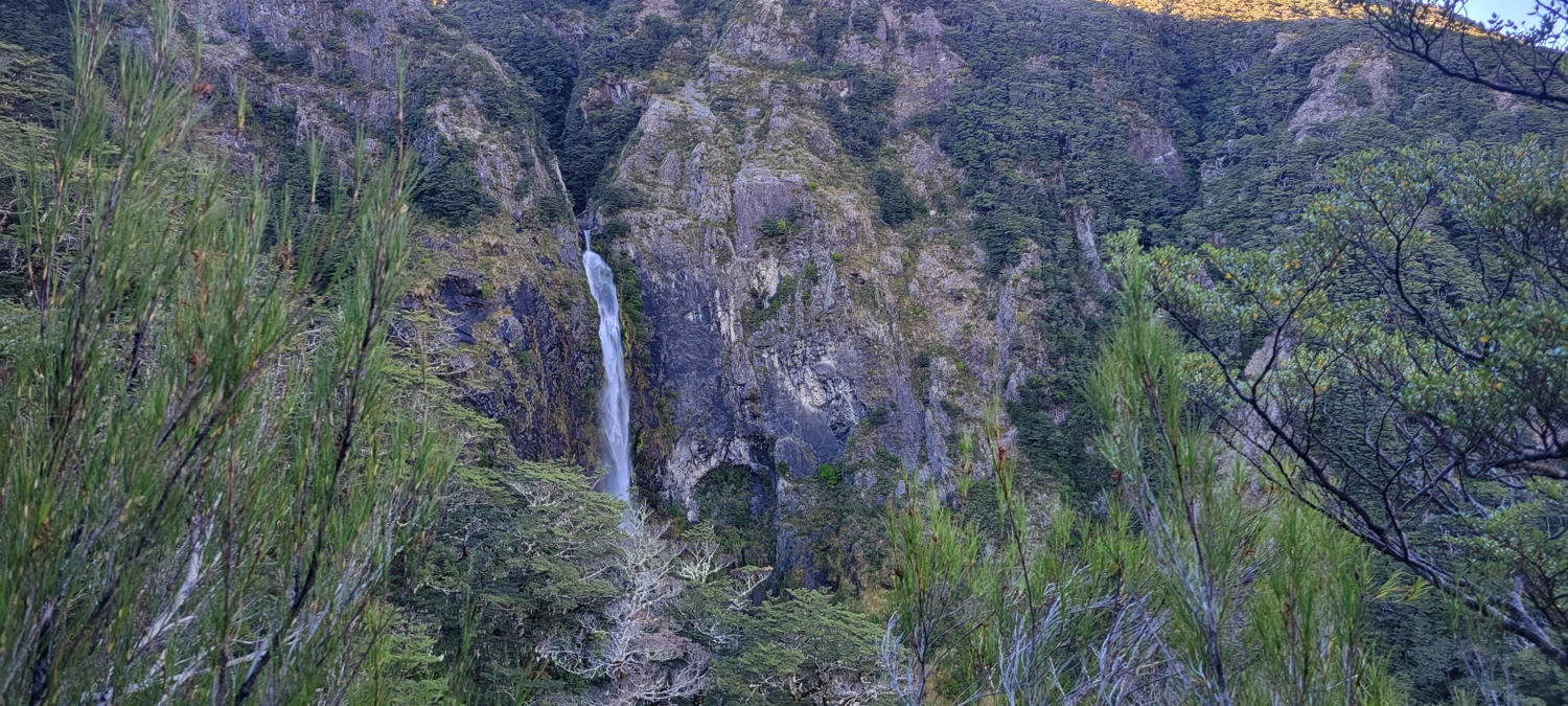
The wind picked up significantly too, adding a bit of drama to the exposure. Still, there were moments where the cloud cleared enough to give outstanding views across the range — Mount Philistine, Rolleston, and the peaks on the Bealy–Avalanche Traverse all made brief appearances through the mist.
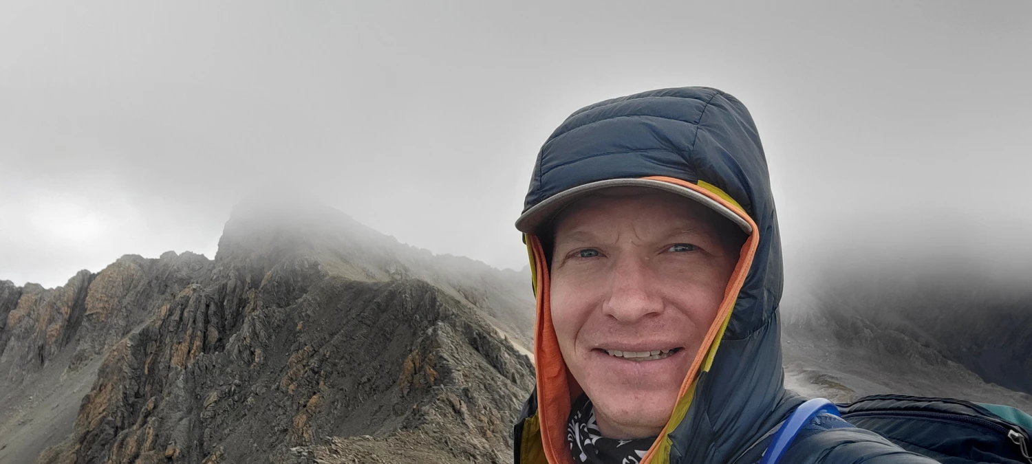
I reached Mount Blimit's summit in a complete whiteout, with no views and howling gusts. The stay was brief.
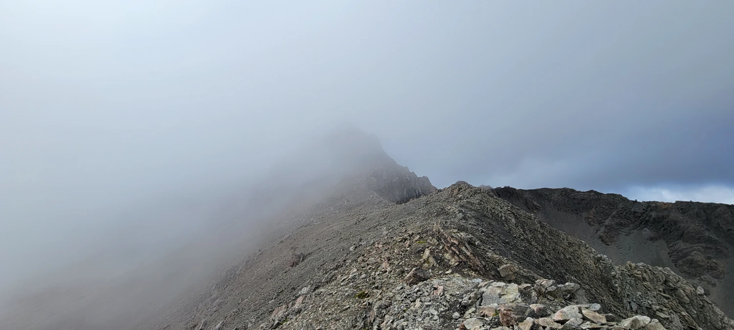
I had read that descending via Temple Col was considered the more "technical" option compared to dropping straight into Temple Basin. But I was in the mood for a bit more adventure, so that’s the way I went.
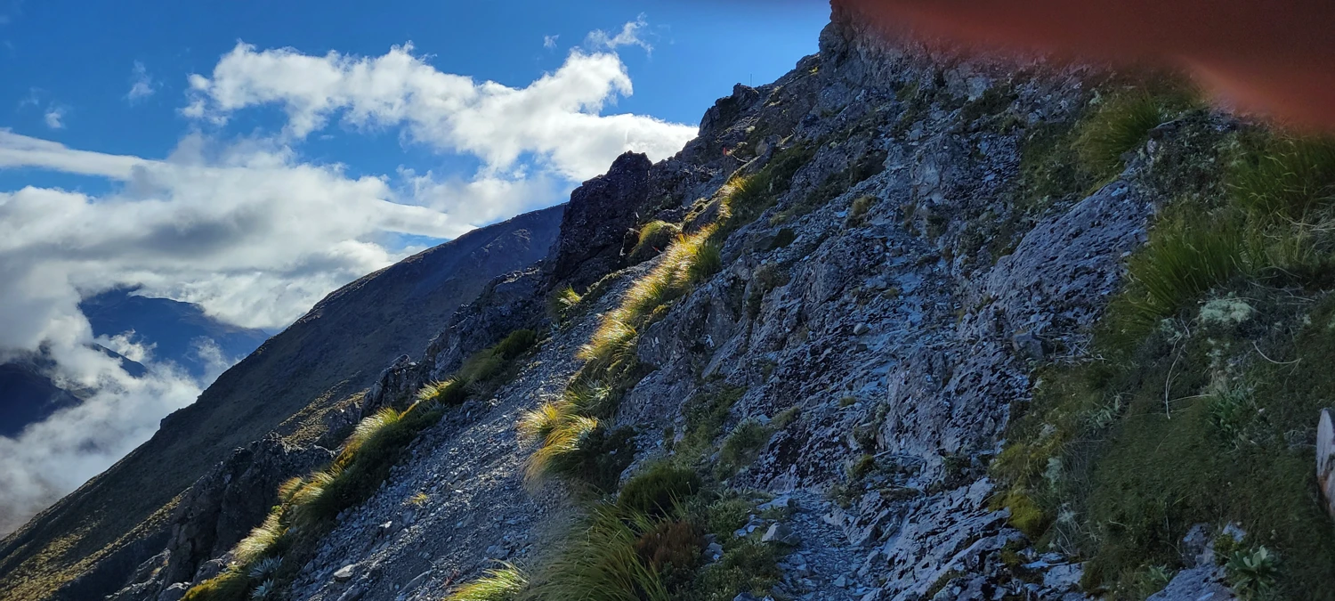
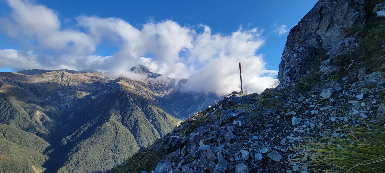
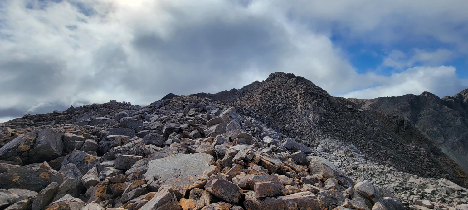
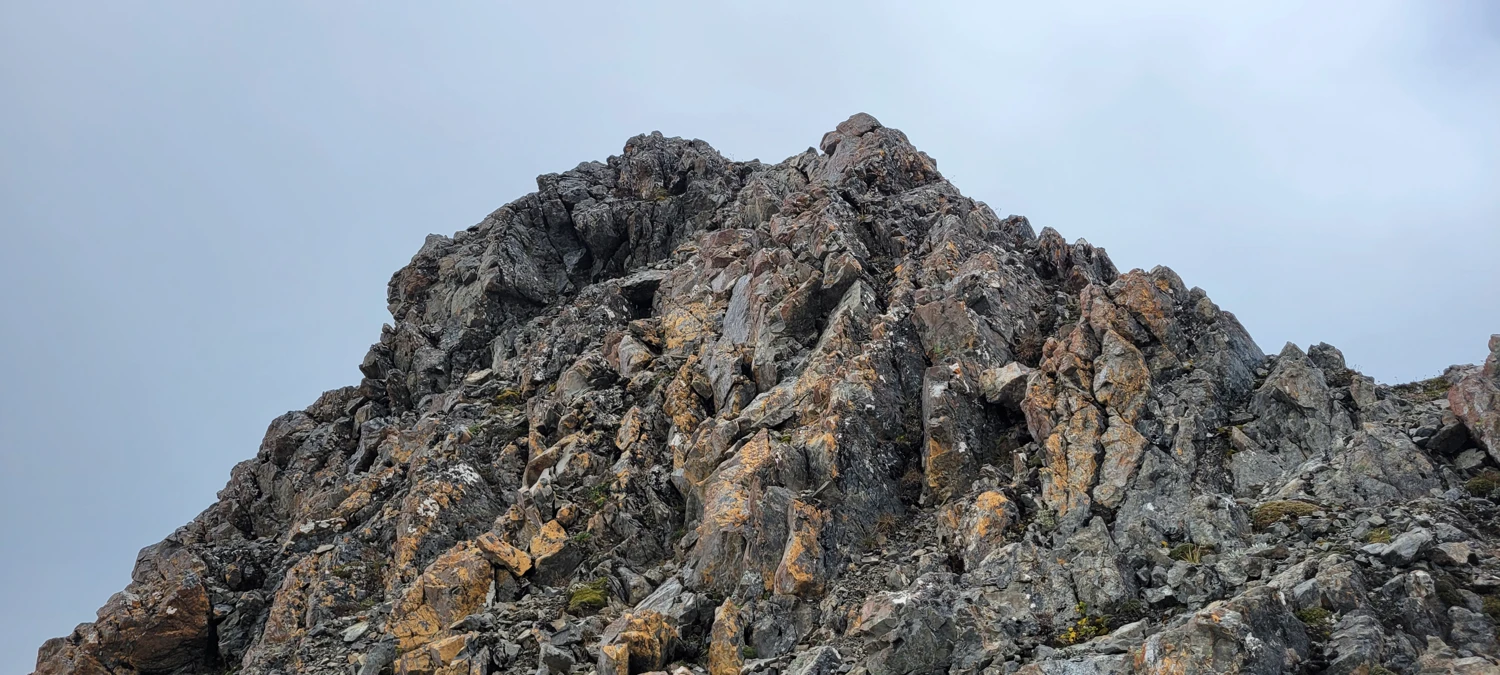
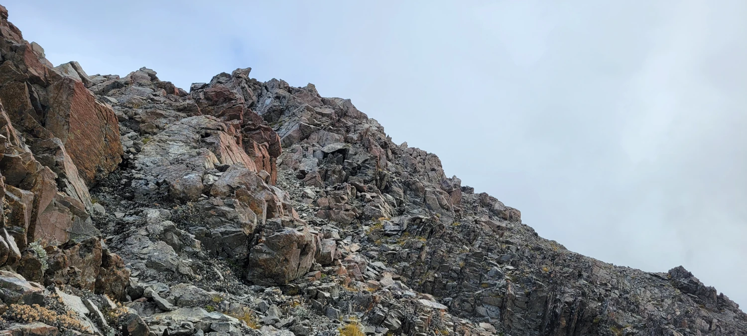
Turns out, this ridge — from Blimit, across Col to Nowhere, and down toward Temple Col — was the most enjoyable section of the day. It was finally the kind of travel I’d been hoping for: some hands-on movement, sharper terrain, and a bit more decision-making.
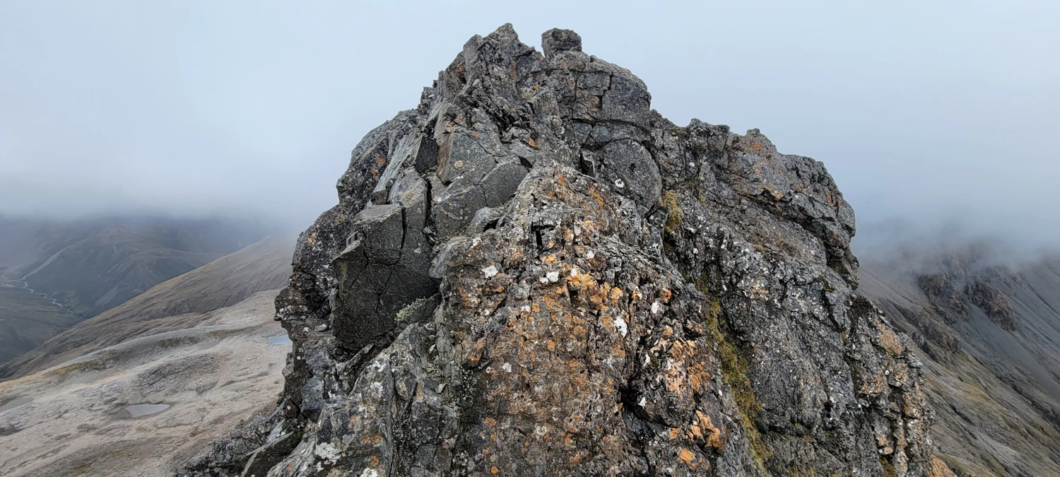
In contrast to what some trip reports had said, I didn’t find the descent to Temple Col all that technical — though I can see how it could be more serious in snow or poor conditions.
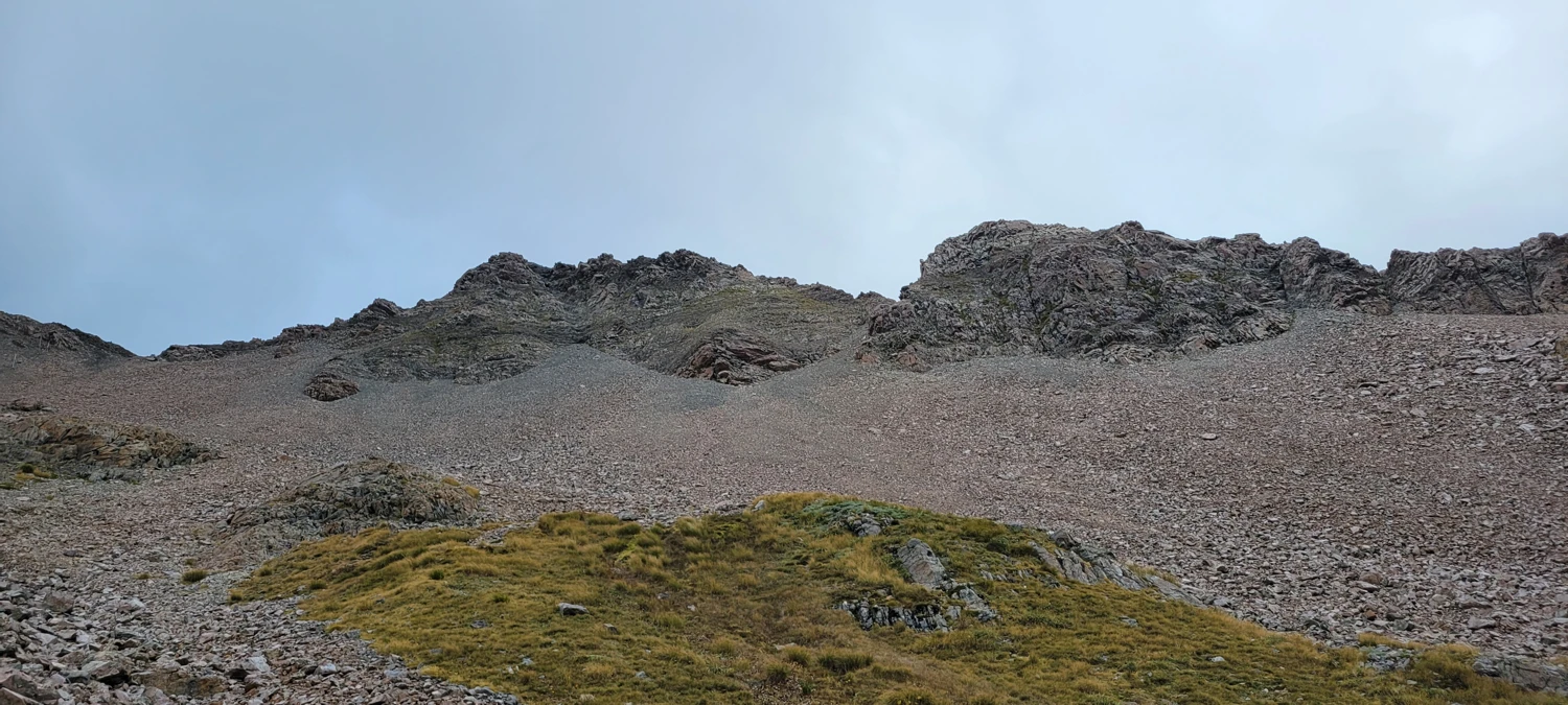
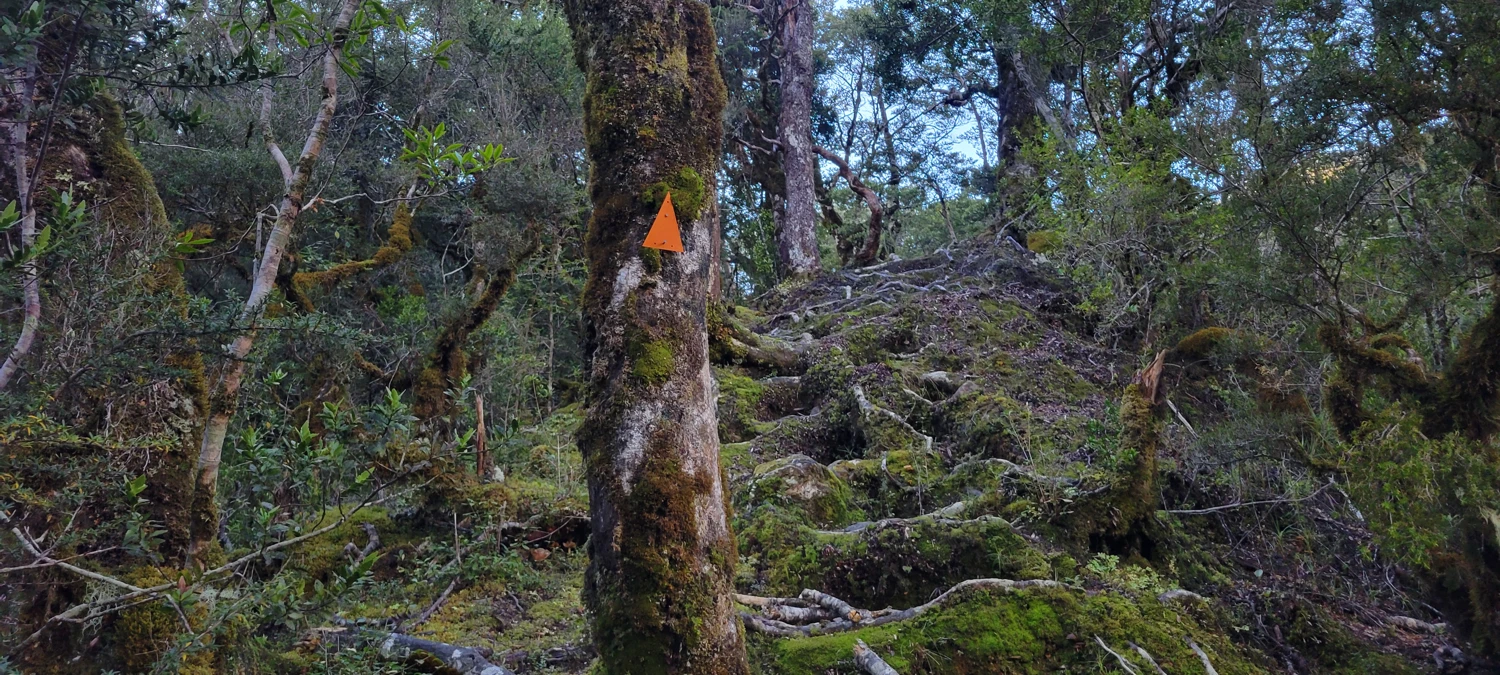
Temple Basin itself was a bit of a mess to navigate — the upper basin is a minefield of loose rock, and staying upright took some focus. Once I reached the Temple Basin carpark, I had to cross the highway to link up with the Arthur’s Pass Walking Track, which isn’t clearly marked if you're coming from the descent.
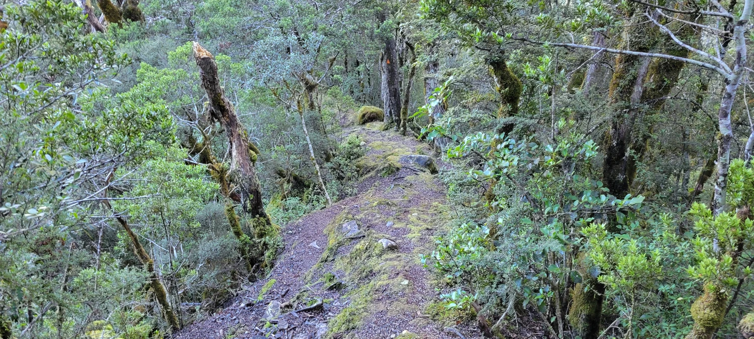
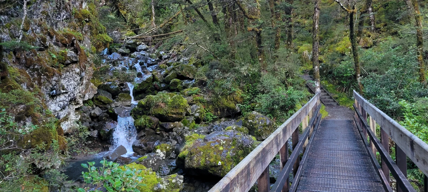
The final stretch followed a gentle wooded path — a mellow end to a full-on day.
The Cassidy Blimit Traverse didn’t offer quite the level of scrambling I was chasing, but it still made for a satisfying outing in Arthur’s Pass National Park. It would probably be a lot more interesting under winter conditions, with snow and ice adding a layer of complexity to the ridgelines.
If you're after a classic Kiwi tramping experience with steep climbs, big views (if the clouds cooperate), and a touch of ridge adventure, this traverse delivers — just adjust your expectations if you’re hoping for lots of scrambling.