A few weeks back, I was in this area hoping to climb Lago and Ptarmigan, but I ended up retreating after tagging Osceola and Carru. I’d been severely under prepared, and it didn’t sit right with me. I knew I had to come back and give this zone another shot.
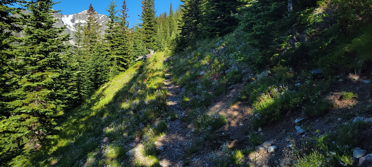
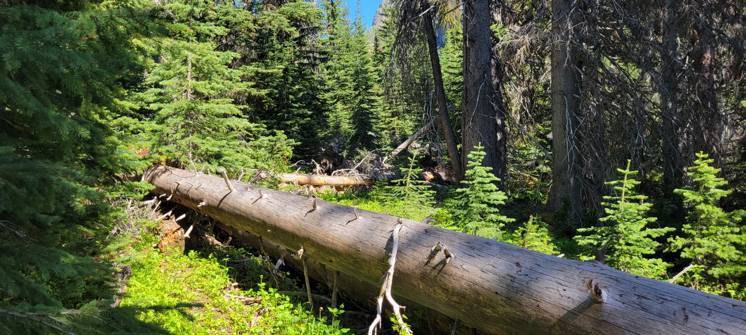
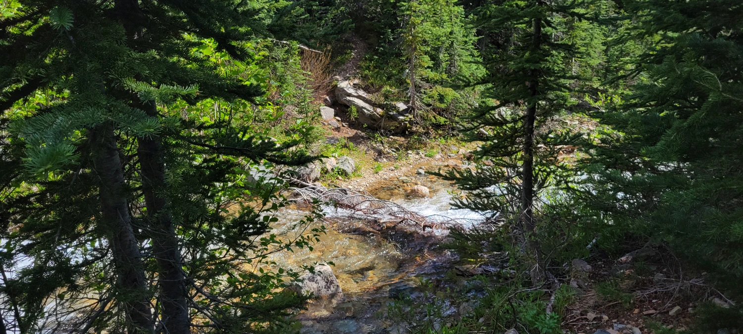
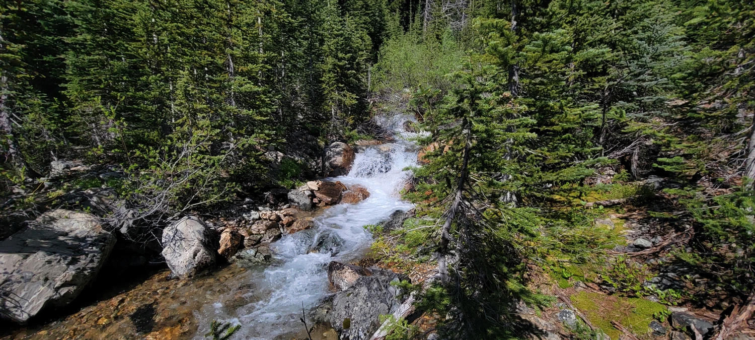
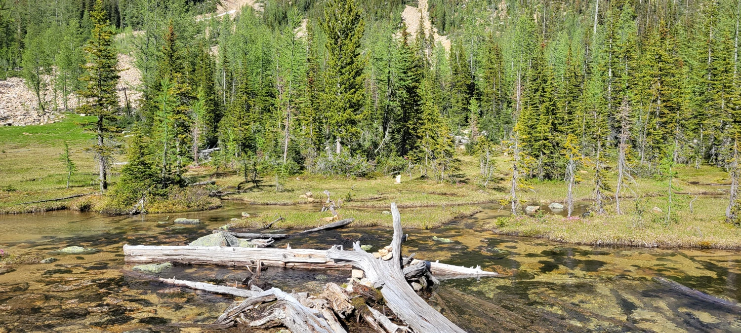
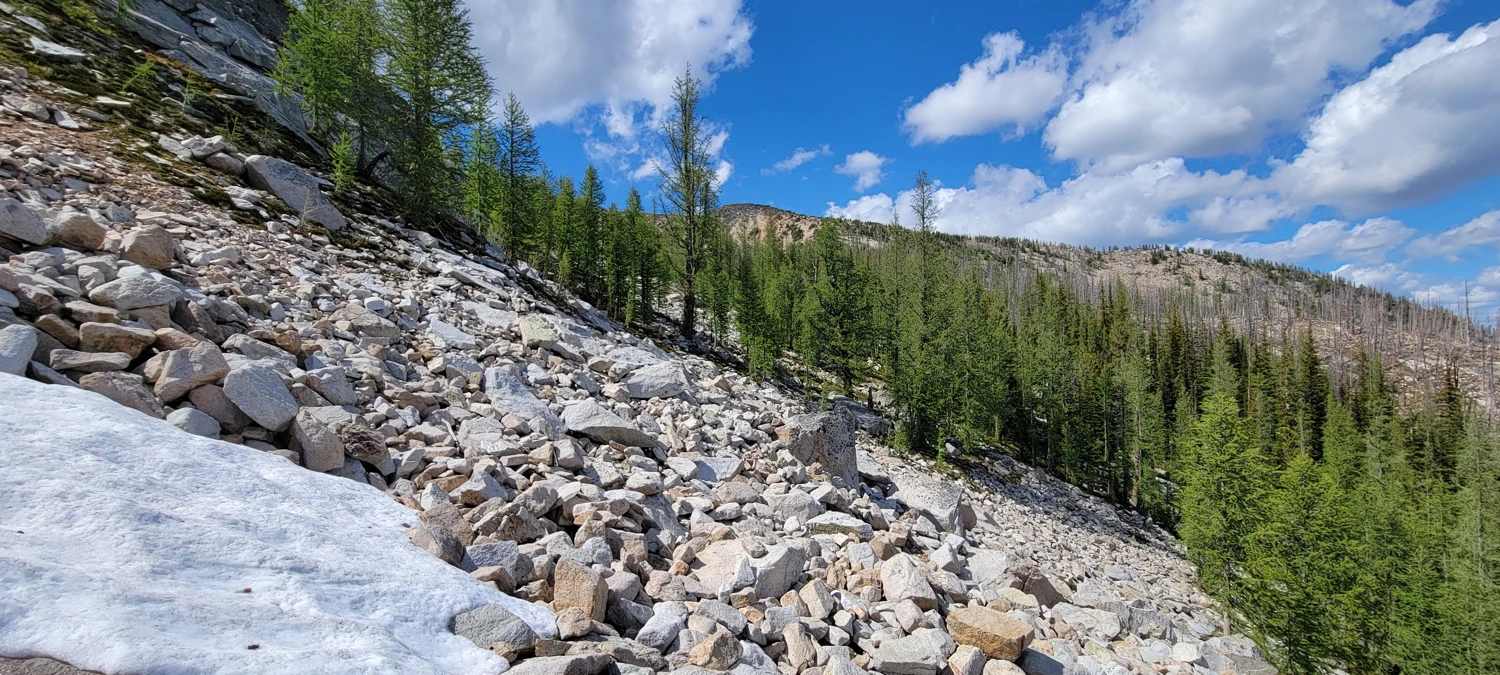
This time, I made quick work of the approach—down the Robinson Creek Trail from Slate Pass, past Fred’s Lake, and into the Eureka Creek valley. Just weeks earlier, snow blanketed the area, but now it had mostly vanished. I worked my way up to Shellrock Pass, with the biggest challenge being a crossing of Eureka Creek around 48.81677, -120.54184. The creek was swollen with snow melt, and I had to balance my way across on two slick logs.
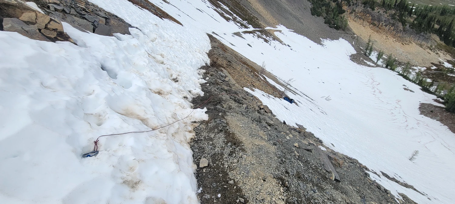
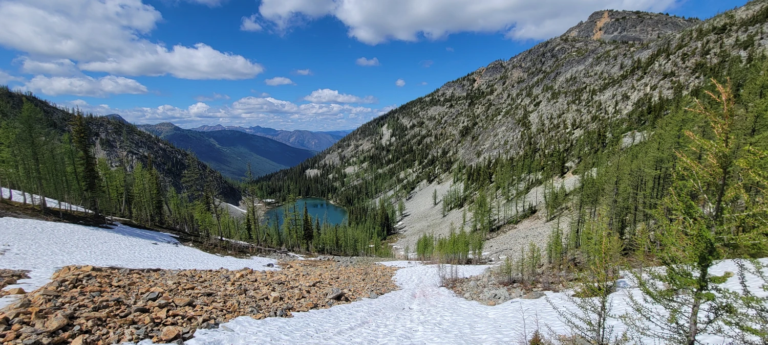
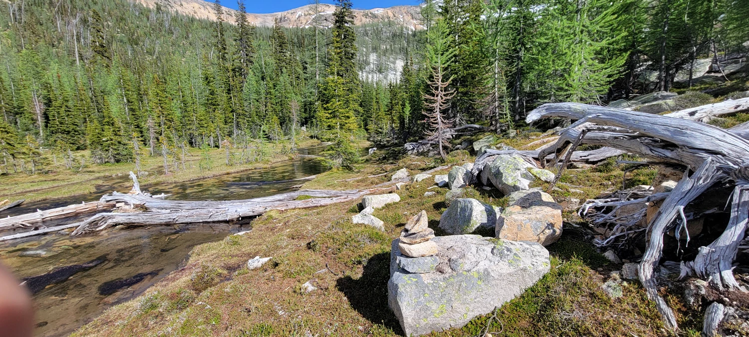
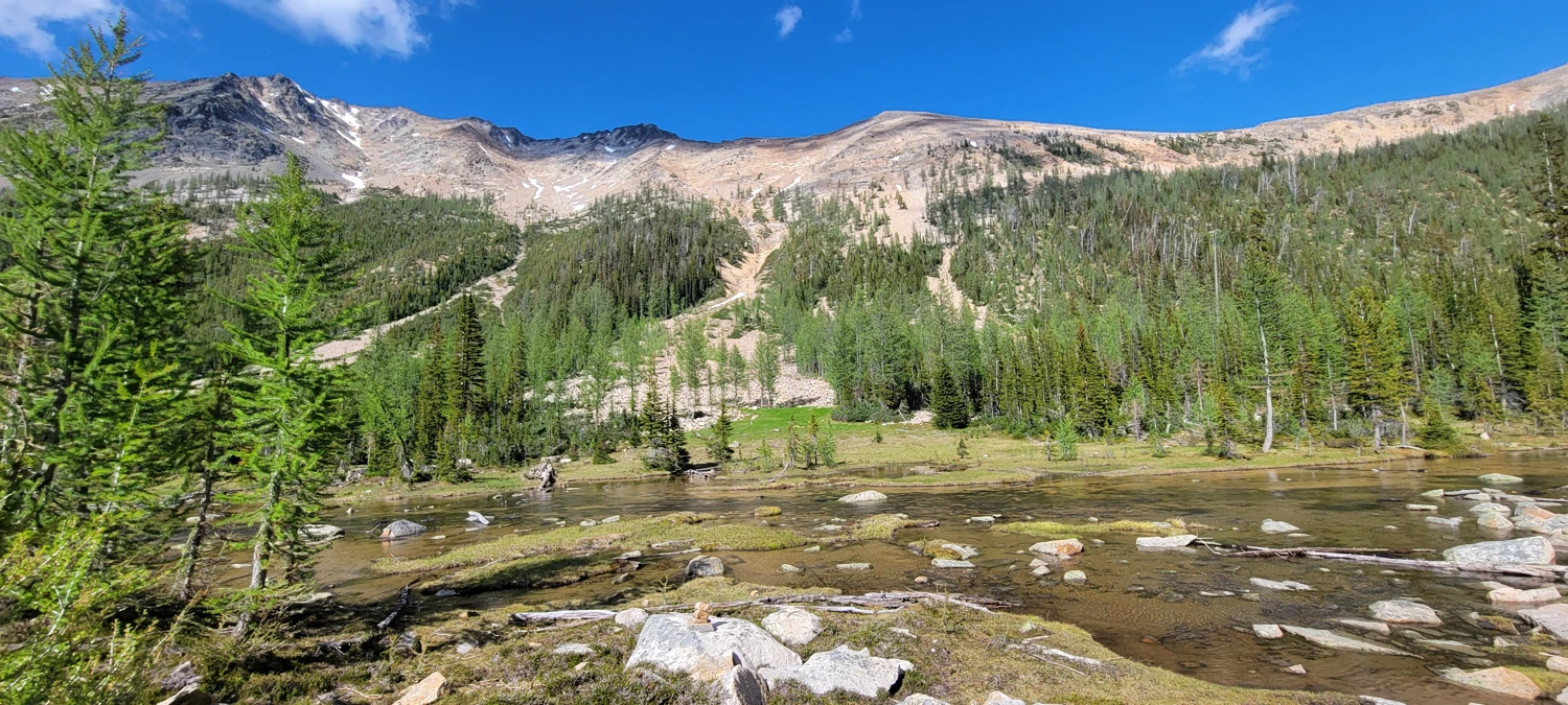
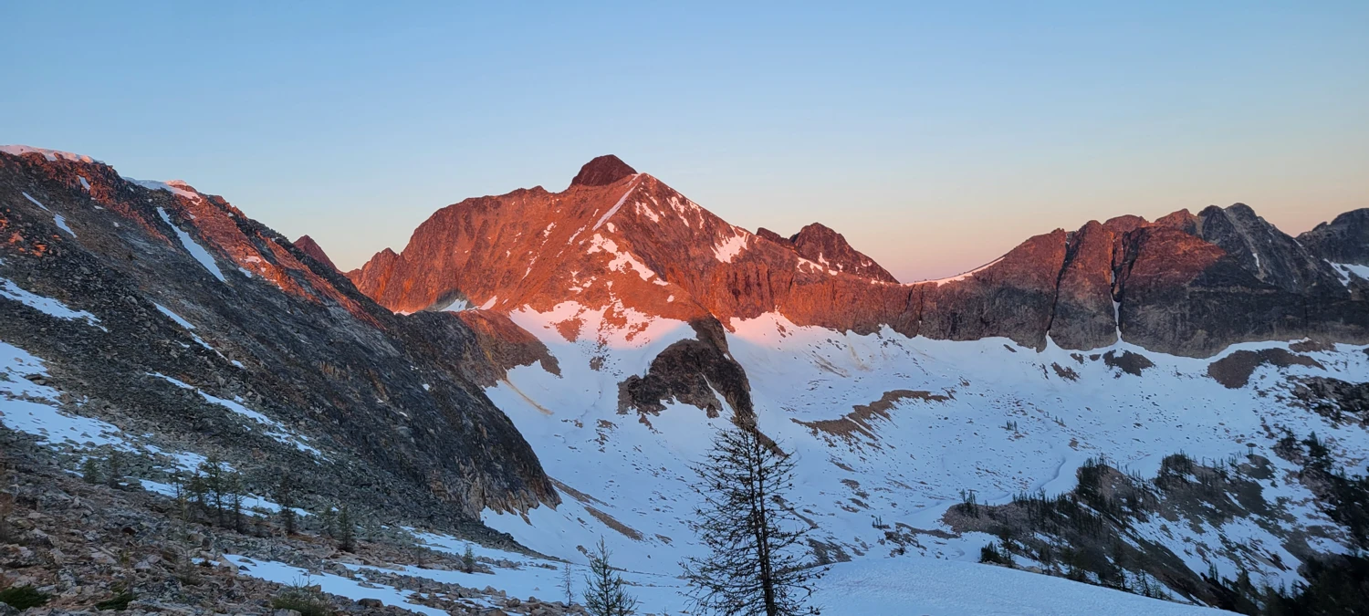
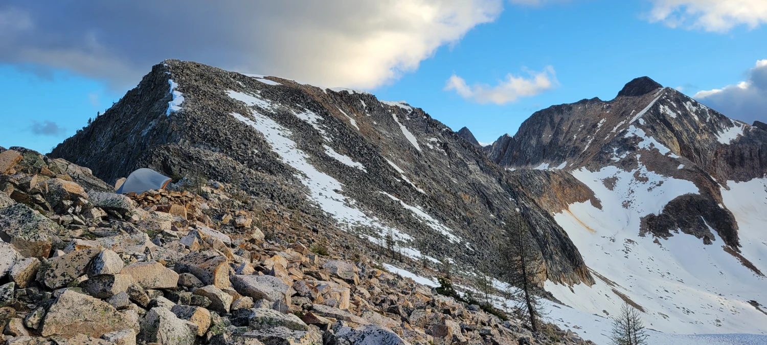
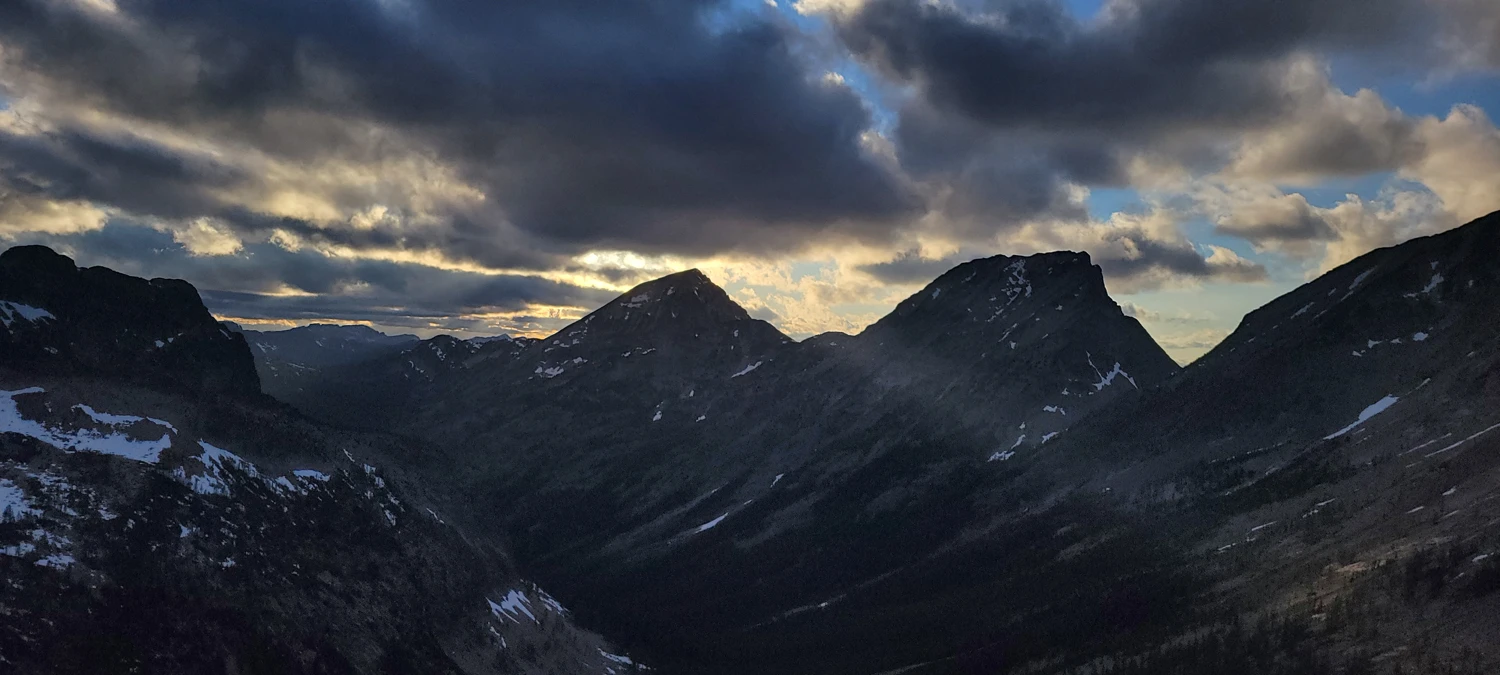
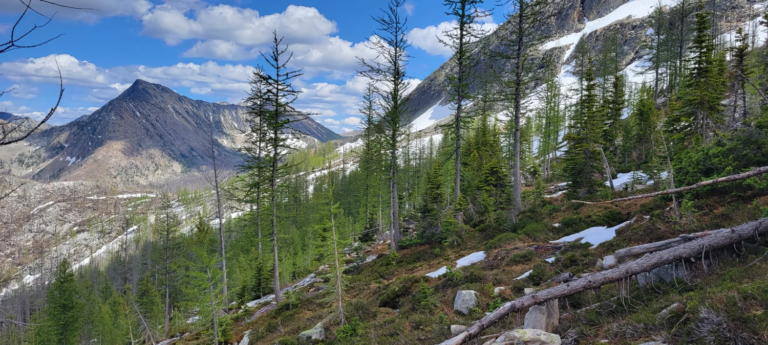
There’s supposed to be a decent early-season campsite near 48.81174, -120.52823, with a water source, but it was still buried under snow. Instead, I pushed a bit closer to Shellrock Pass to camp. It was windy, and I had to build a quick wall for shelter, but the views of the North Cascades at sunset made it worthwhile. I went to bed stoked for what was ahead.
Unfortunately, I woke up with a full-blown sinus infection. But after hiking 16 miles to get out here, there was no way I was turning back.
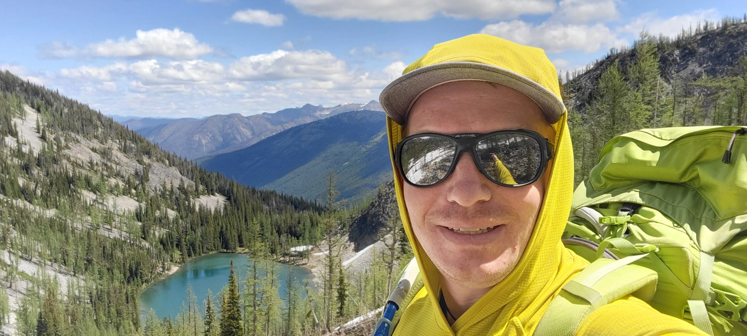
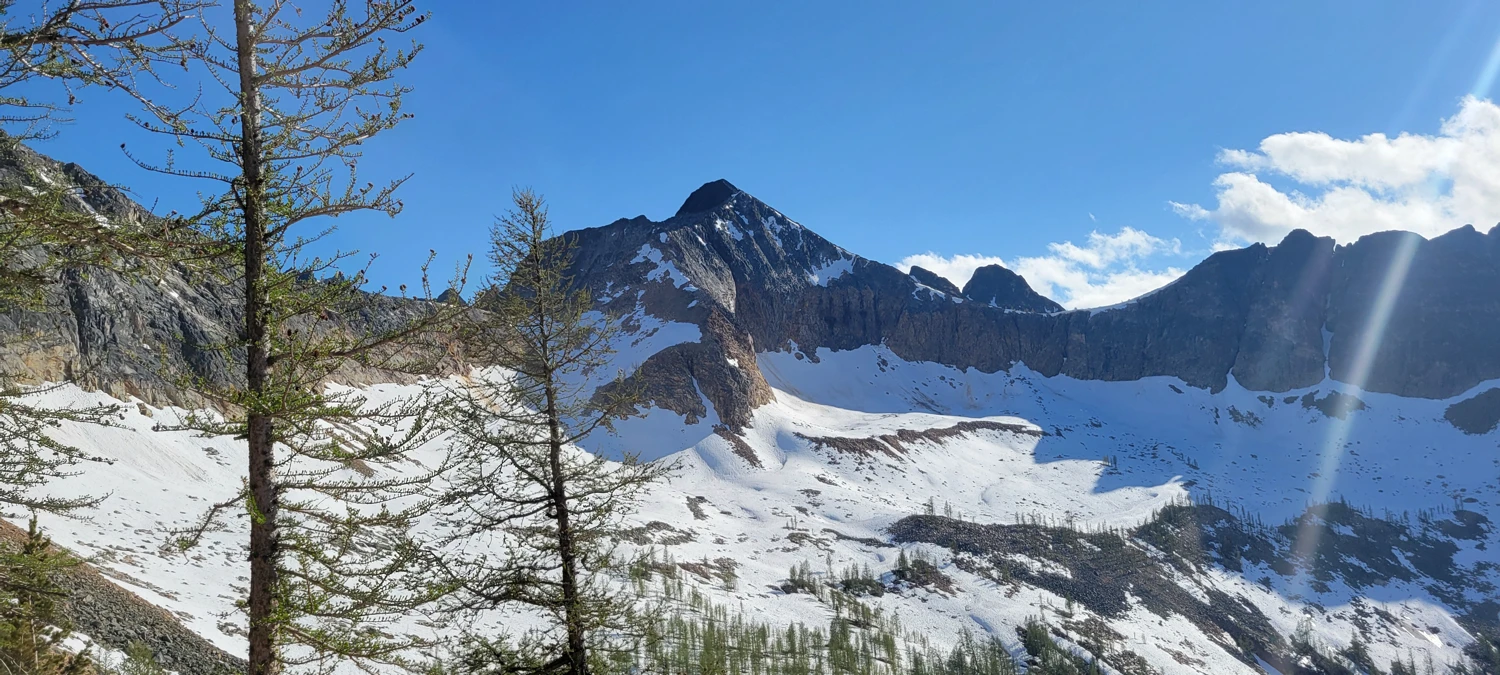
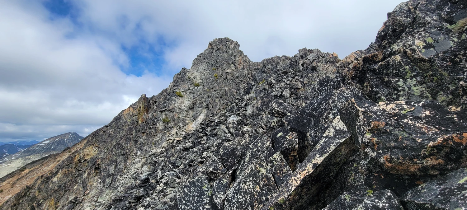
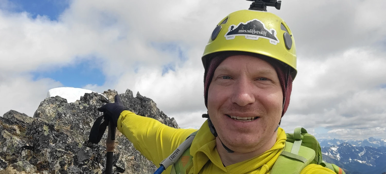
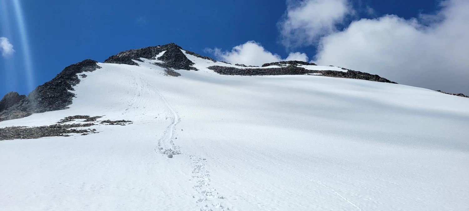
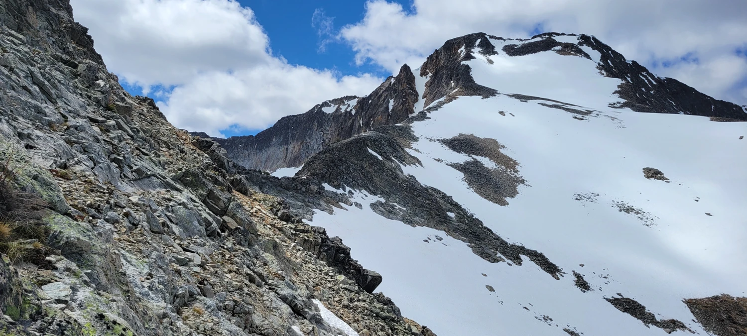
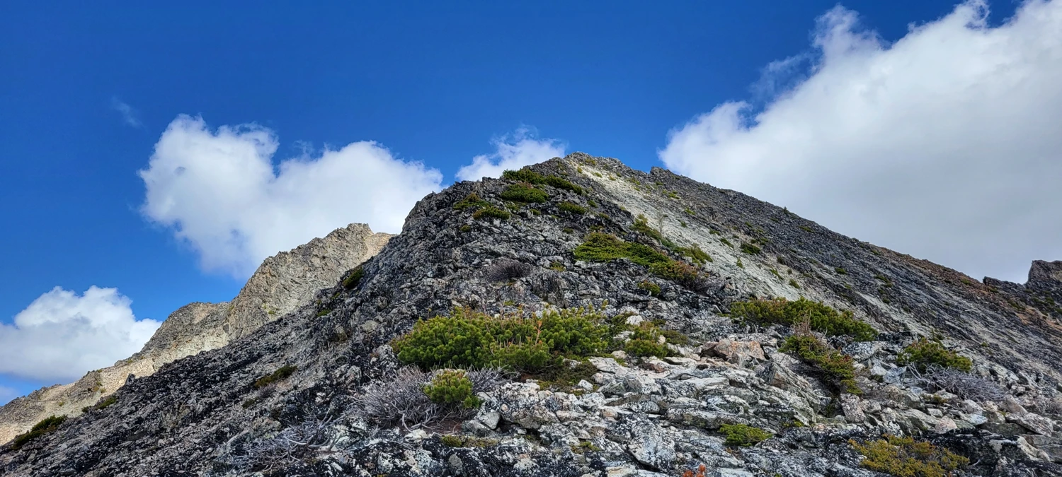
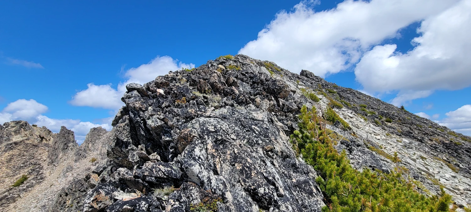
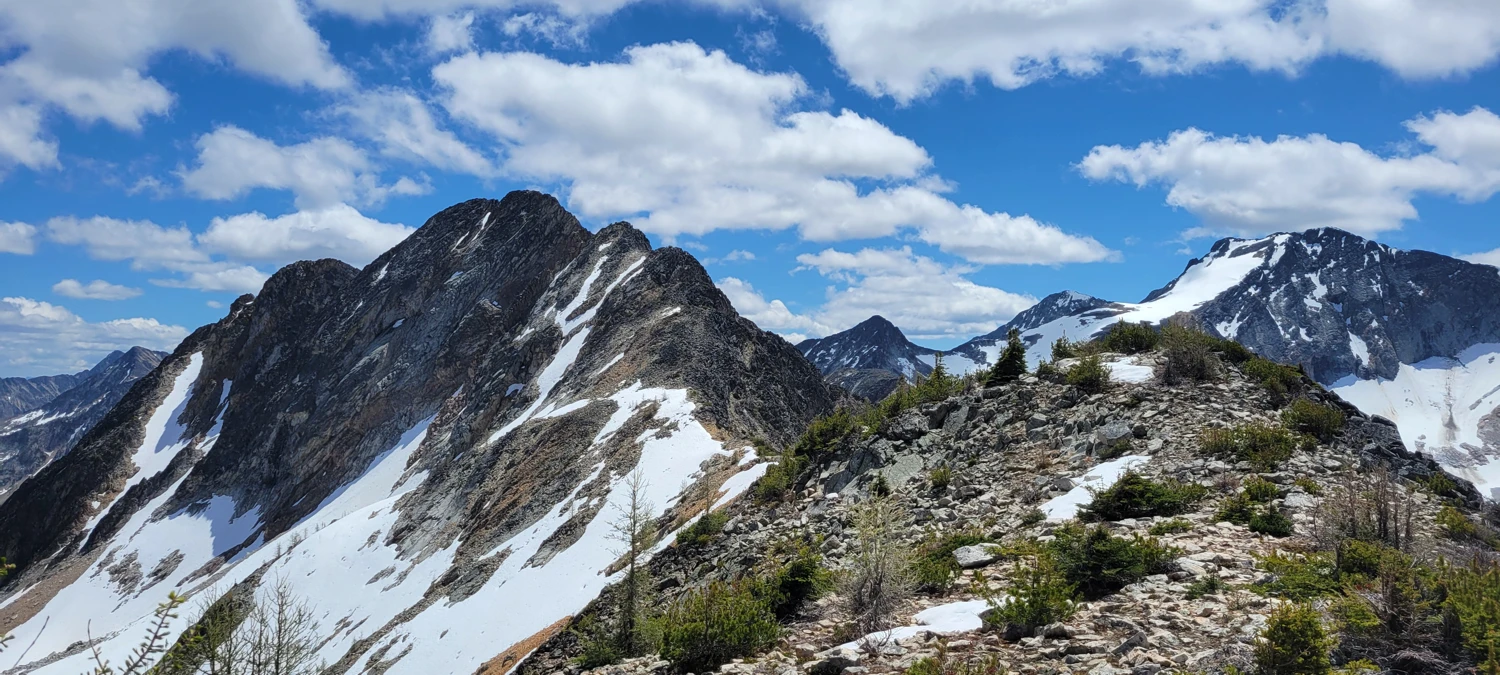
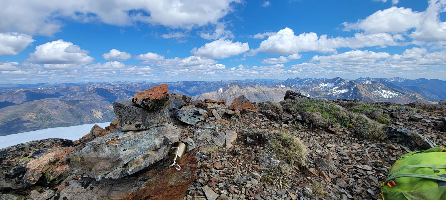
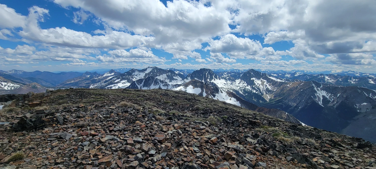
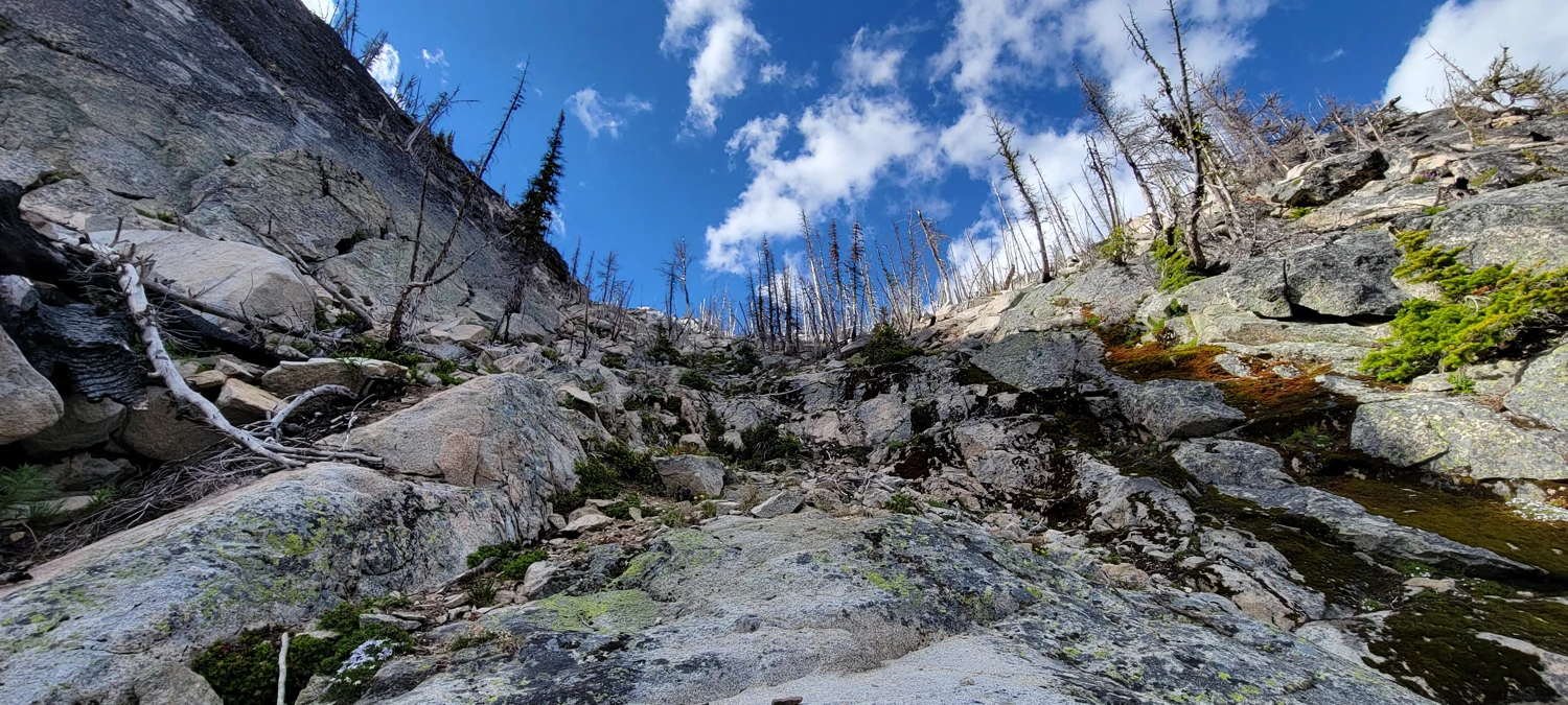
I made my way to Mount Lago. It’s a pile of choss—non-technical but full of loose rock requiring constant attention. Two hours of scrambling from Shellrock Pass brought me to the summit. I was so fired up to make it that I forgot a summit selfie. I snapped one on the way down, pointing at the summit instead—I wasn’t about to climb back up.
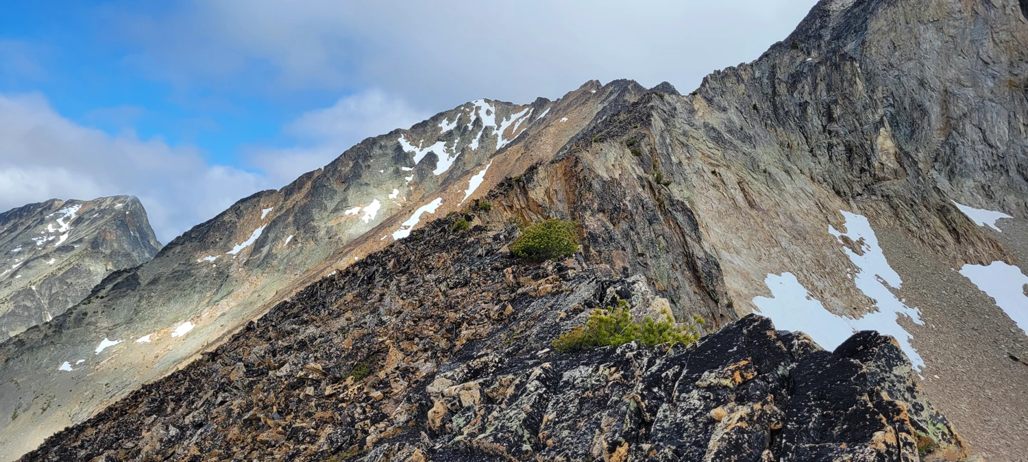
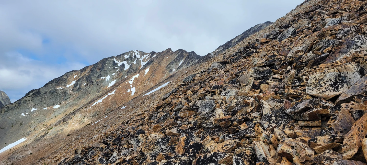
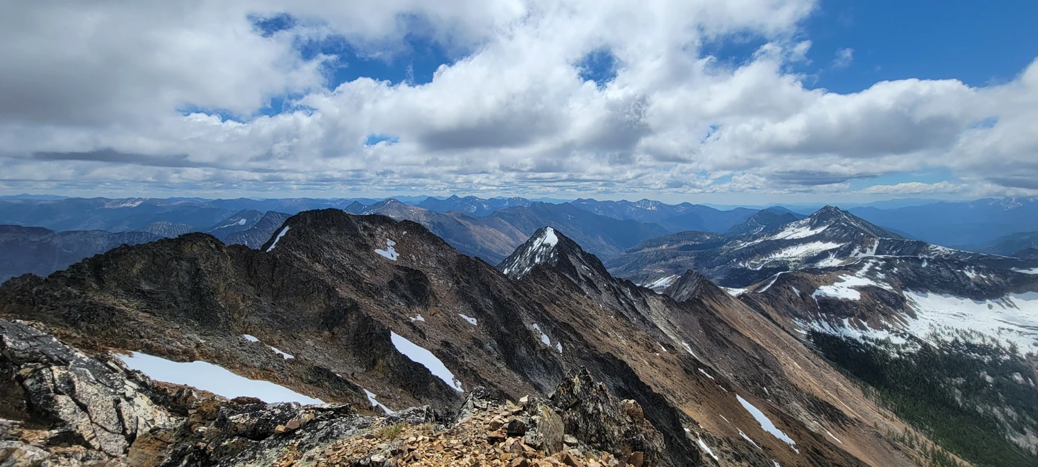
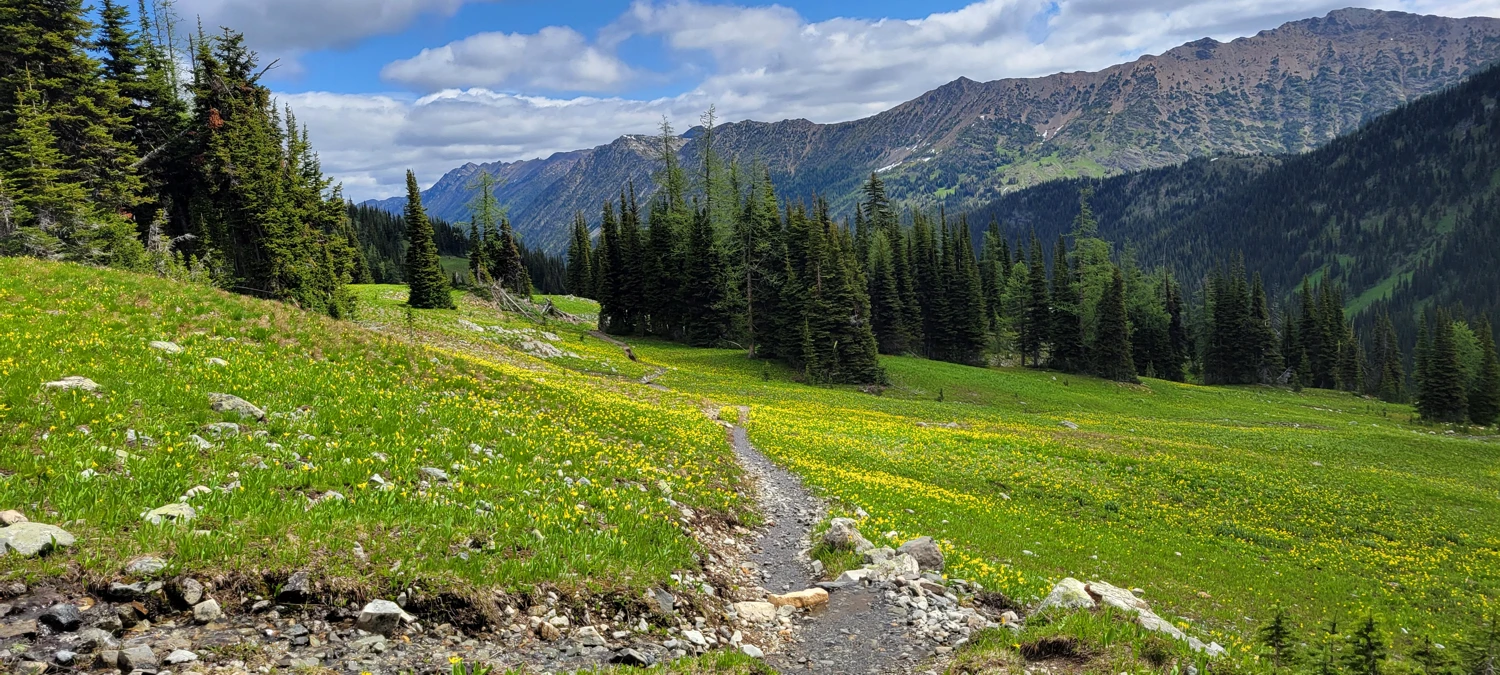
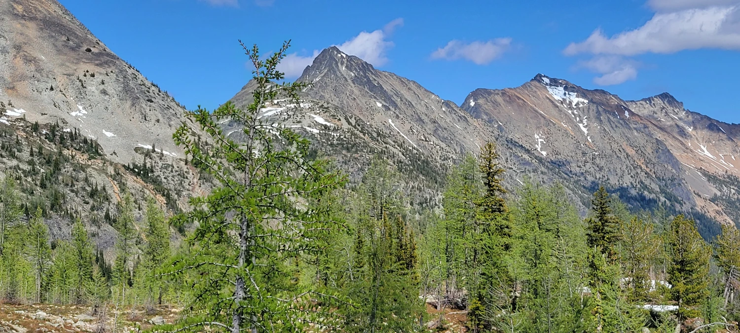
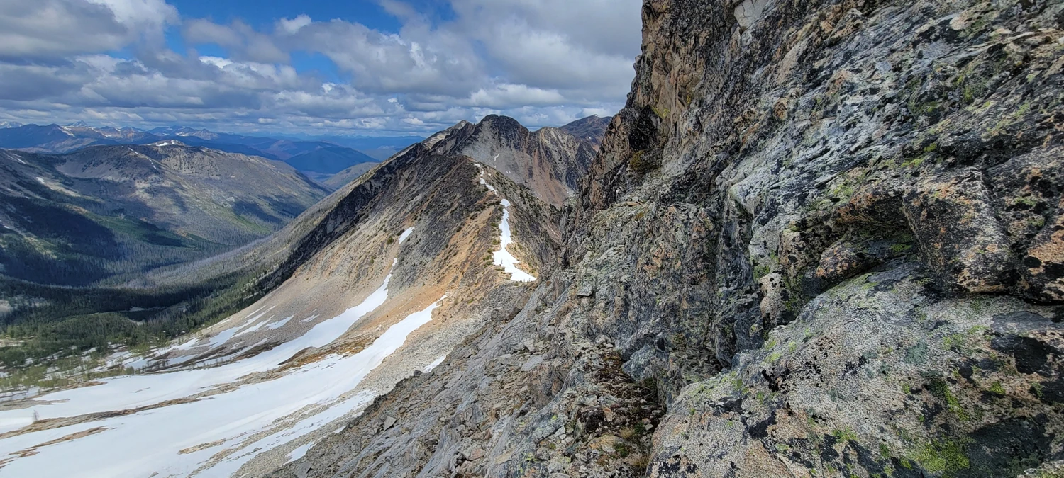
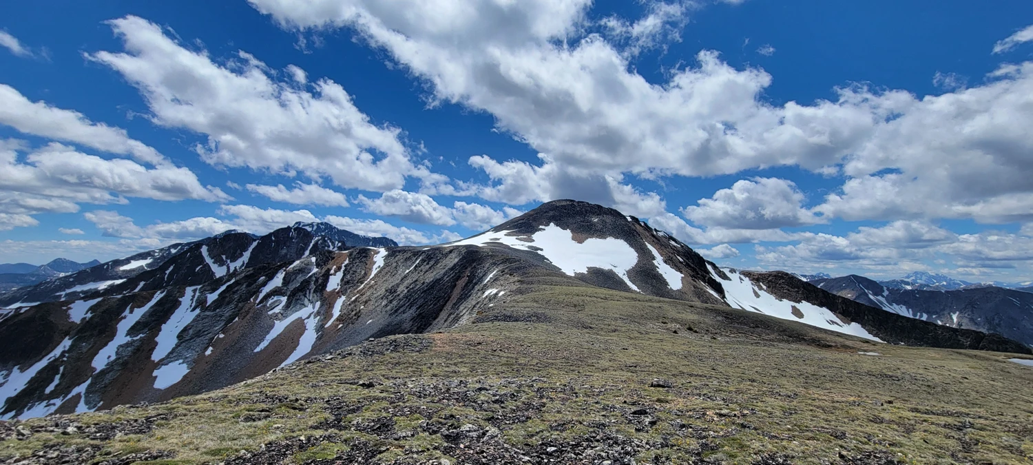
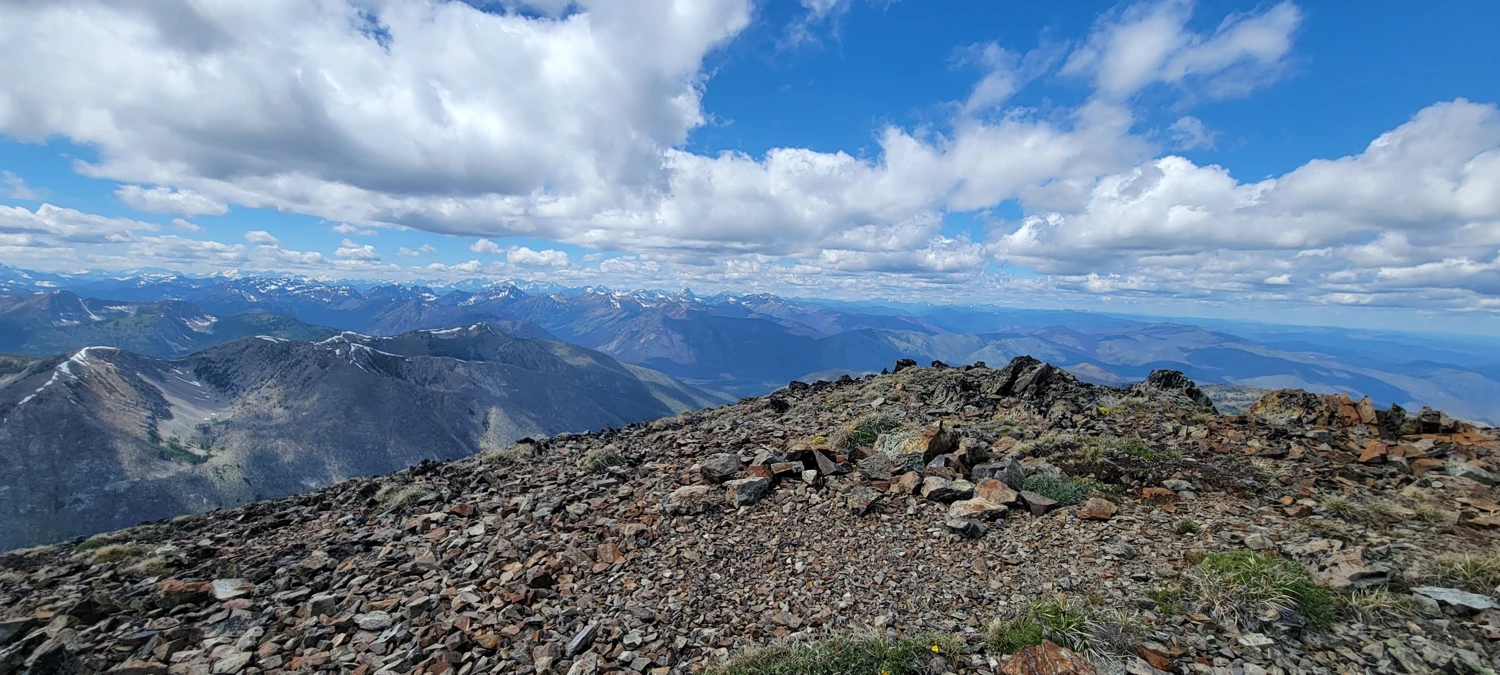
Next up was Ptarmigan Peak. On the way, I encountered a snowfield that made for a fun glissade. The traverse toward Dot Mountain was surprisingly engaging—mostly class 1 and 2 terrain, but with a few class 2-3 scrambling sections thrown in, depending on your line. I passed another party who asked for beta—otherwise, I saw no one all day.
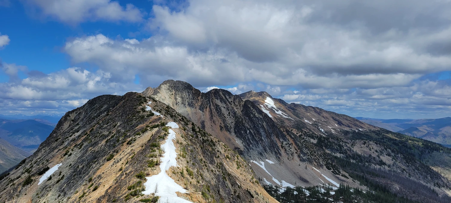
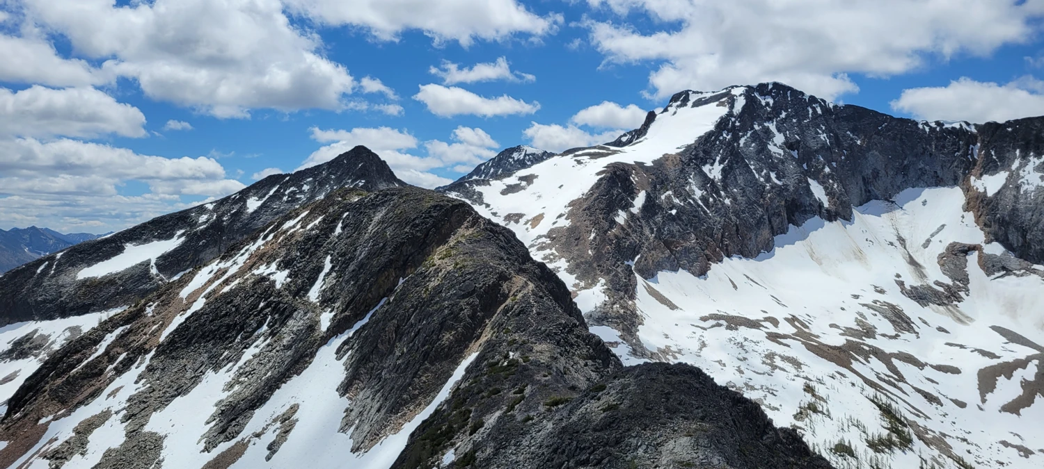
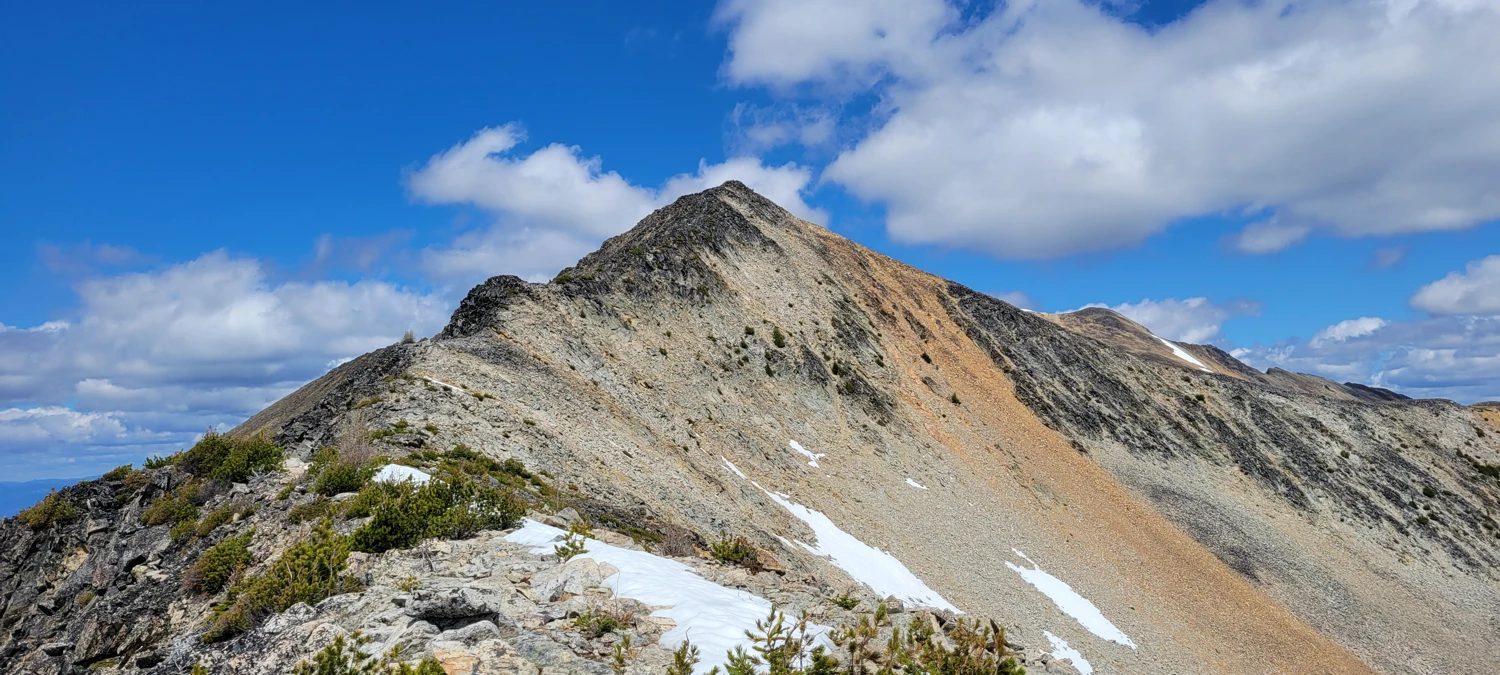
As far as Bulgers go, Ptarmigan is a joke. If it weren’t for the remoteness, it’d easily beat Abernathy Peak as the easiest on the list. “Climb” is generous—this one’s a walk.
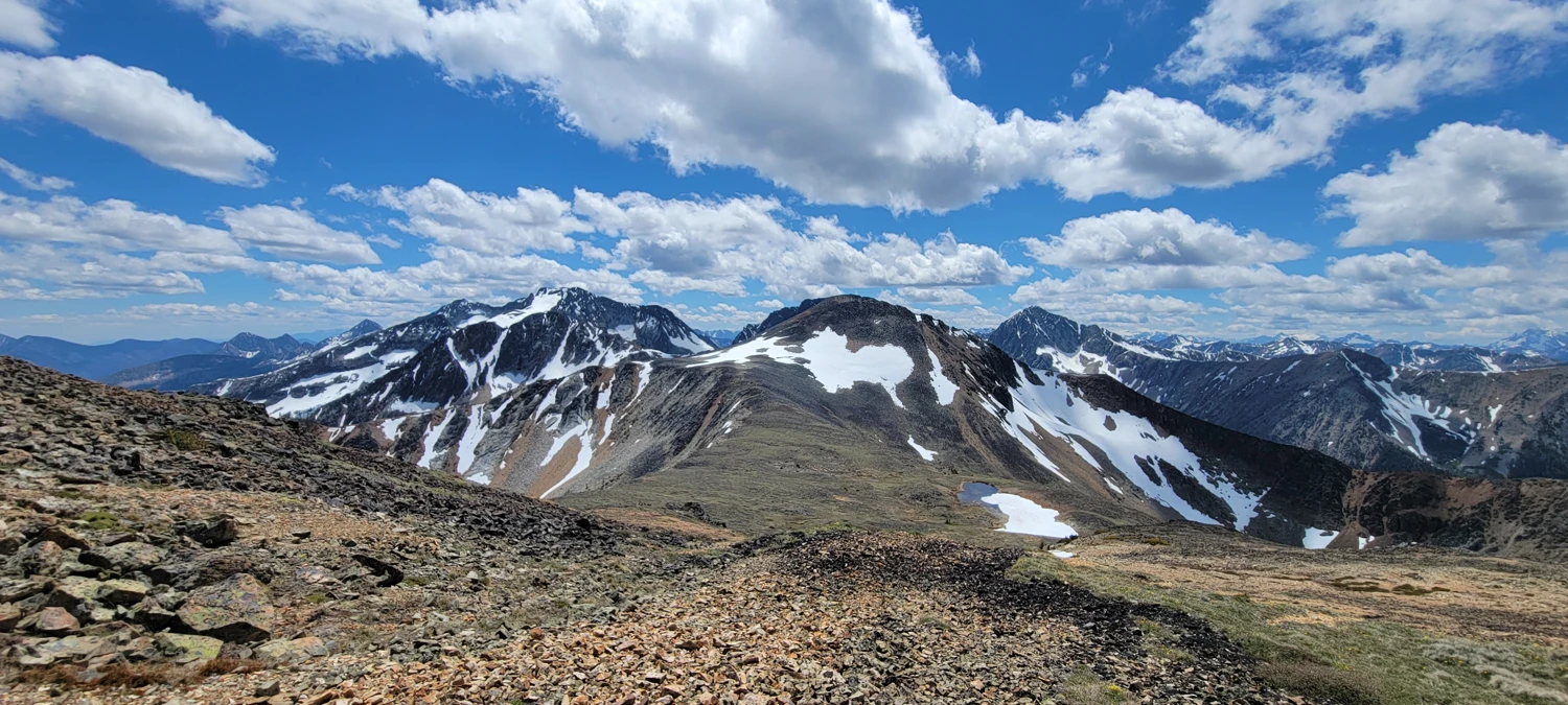
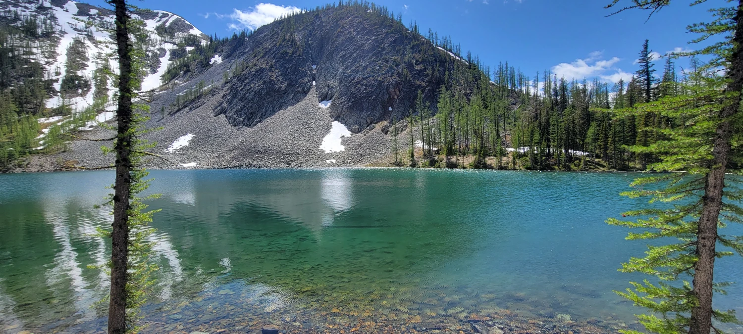
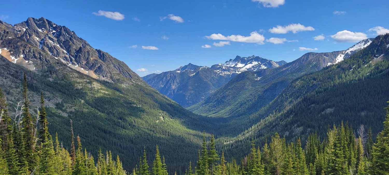
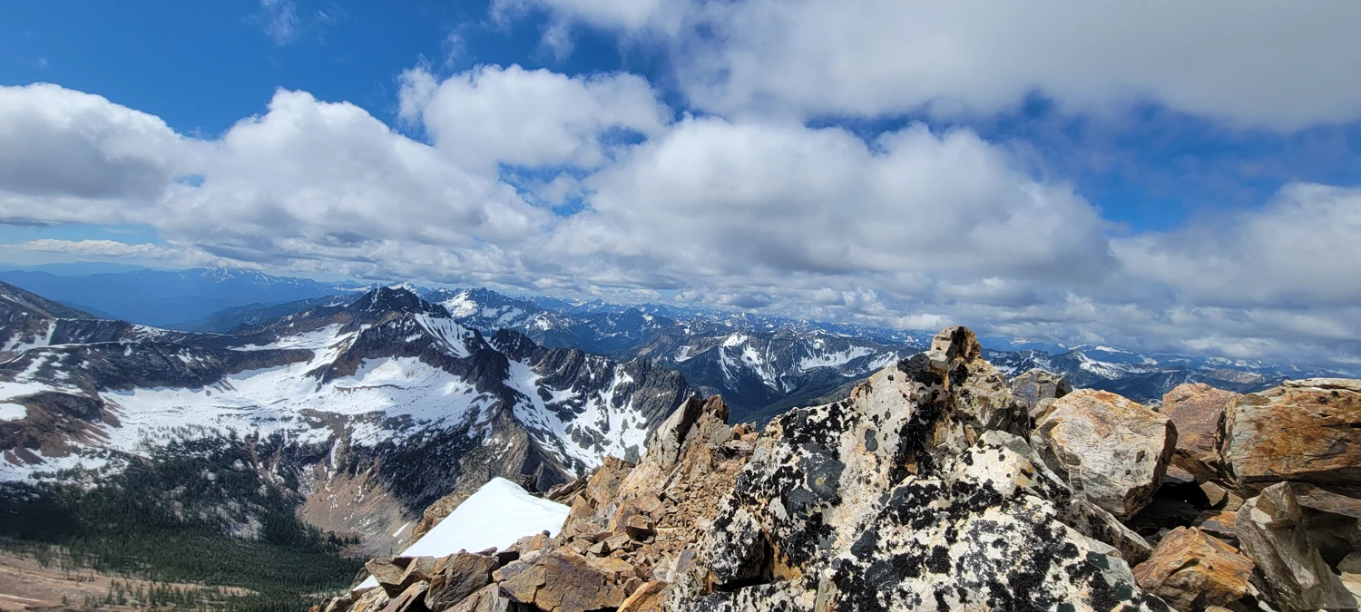
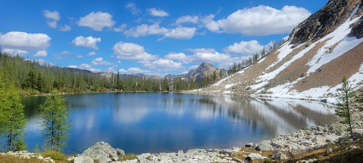
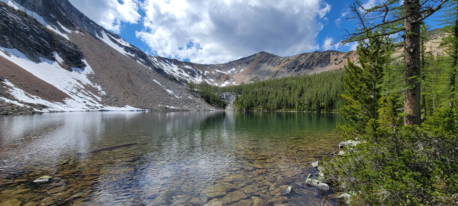
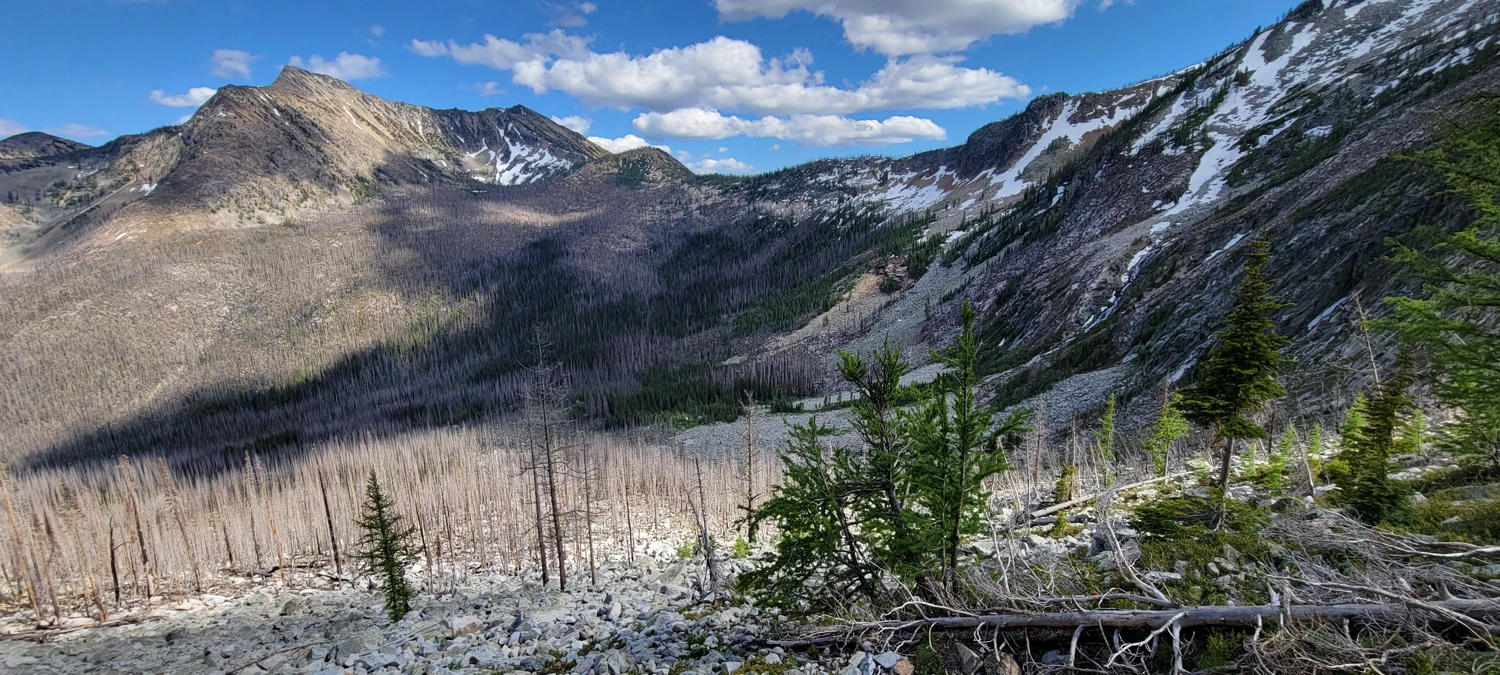
From there, I had two options: rescramble the ridge back to camp, or drop to Dot Lake and loop through the valley. Low on water, I opted for Dot Lake. I wouldn’t recommend this route. It started off beautifully—Dot Lake was one of the most remote and stunning alpine lakes I’ve seen. I swam, filled my bladder, and lingered.
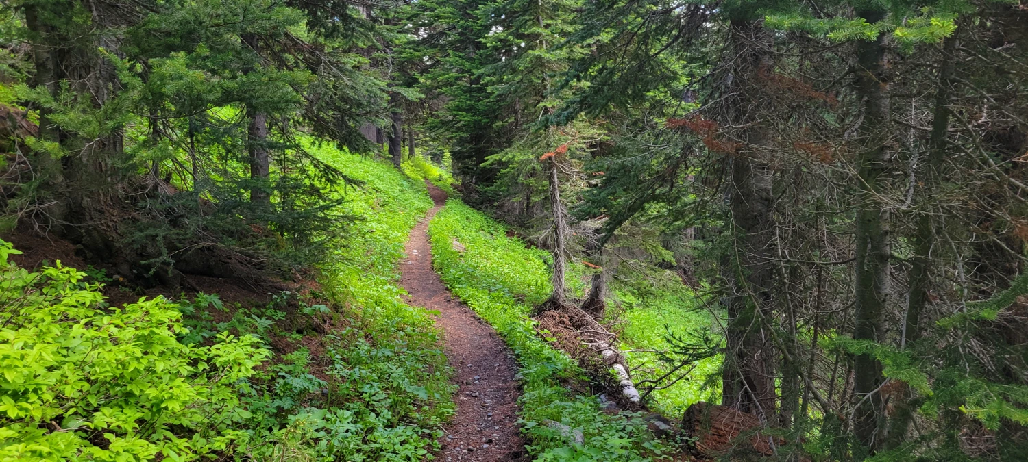
But what followed was a maze of old burn, downed timber, and cliffy terrain with no cairns. It was a slow, brutal traverse that chewed up all the remaining daylight. I had dreams of tagging Lost Peak that evening, but between the infection and the bushwhack, I limped back to camp just in time for dinner and sleep.
That night, I knew the trip was done. Lago and Ptarmigan were enough. I needed real rest—and some cold meds that didn’t come out of a ziplock bag. I hiked out the next day, content that I’d managed two more Bulger peaks, but feeling like this part of the Cascades has it out for me this season.
Maybe next year.
The mountains will always be there.