


After a week of iffy weather, we were not sure how high the Waimakariri and White Rivers would be. After a lot of debating, we decided to go ahead and attempt Mount Murchison. It’s not often that the weather is perfect and avalanche risk is low.
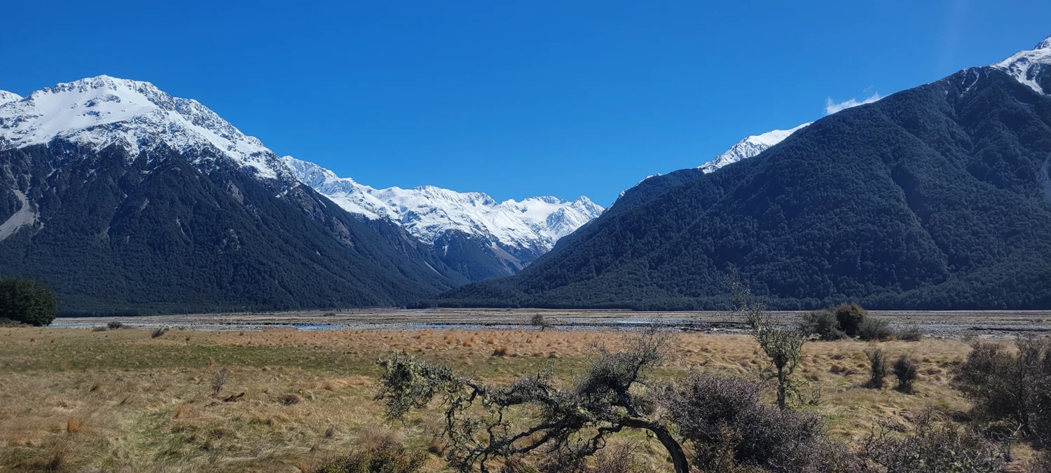
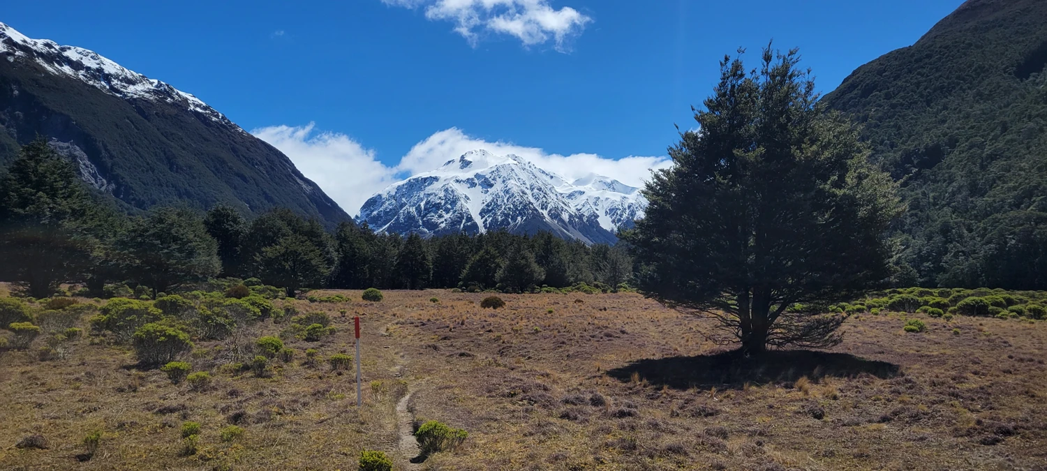
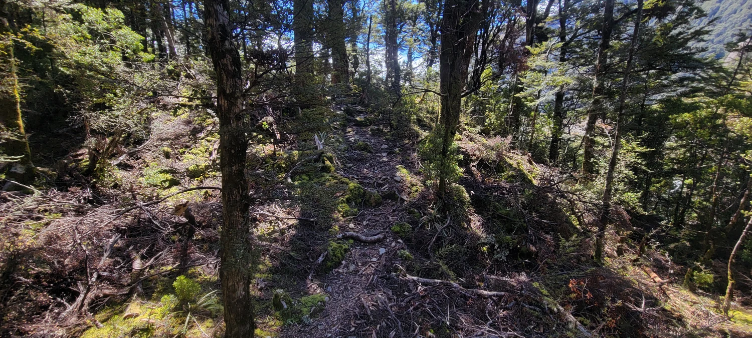
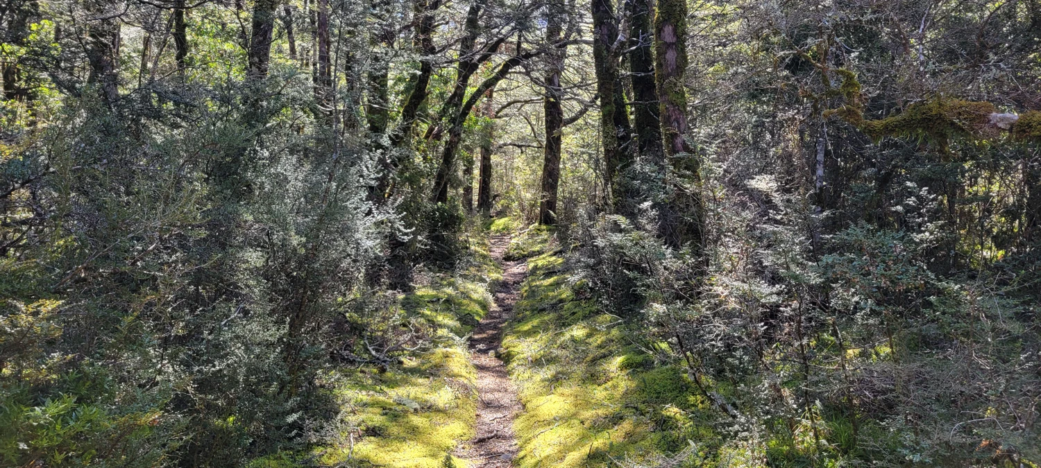
Due to our hesitation over the conditions to get to Mount Murchison, we did not start on O'Malleys Track until around 9:30 a.m. Luckily, the first section of the hike to Anti Crow Hut is a quick tramp through forest, grass fields, and dried-up river beds.
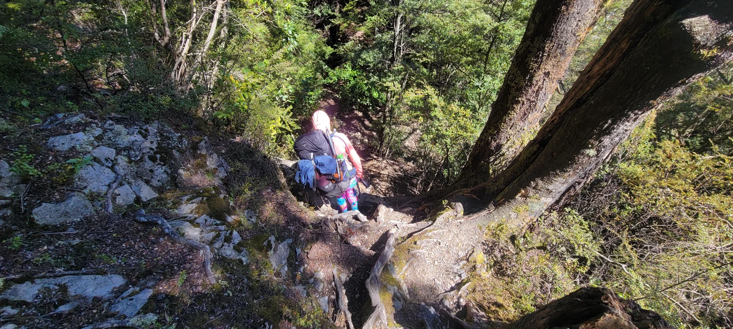
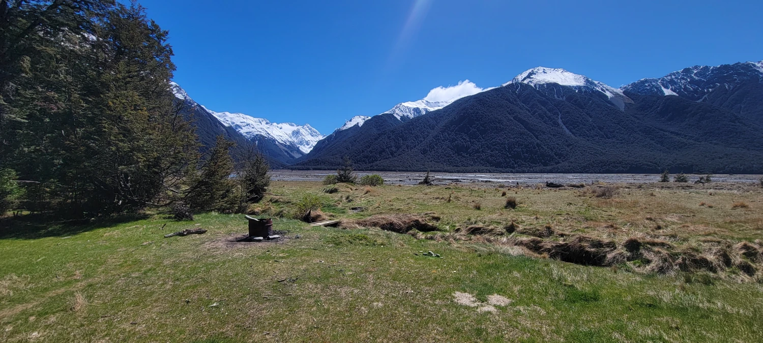
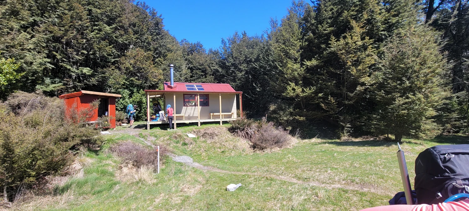
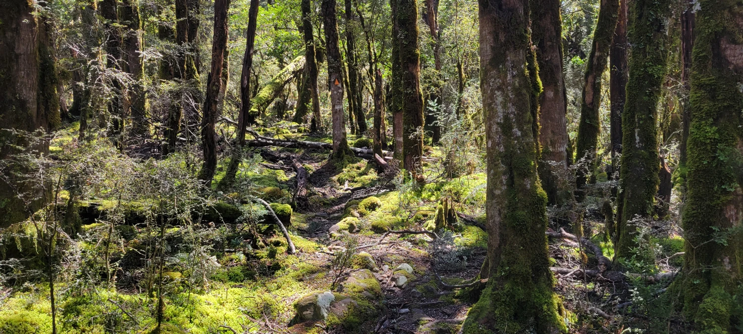
We chose not to linger very long at Anti Crow Hut and headed off to Carrington Hut. The second section to Carrington Hut requires a significant amount of off-trail navigation. Due to this, both us and another group headed to Barker Hut missed that there is actually a trail behind Anti Crow Hut.
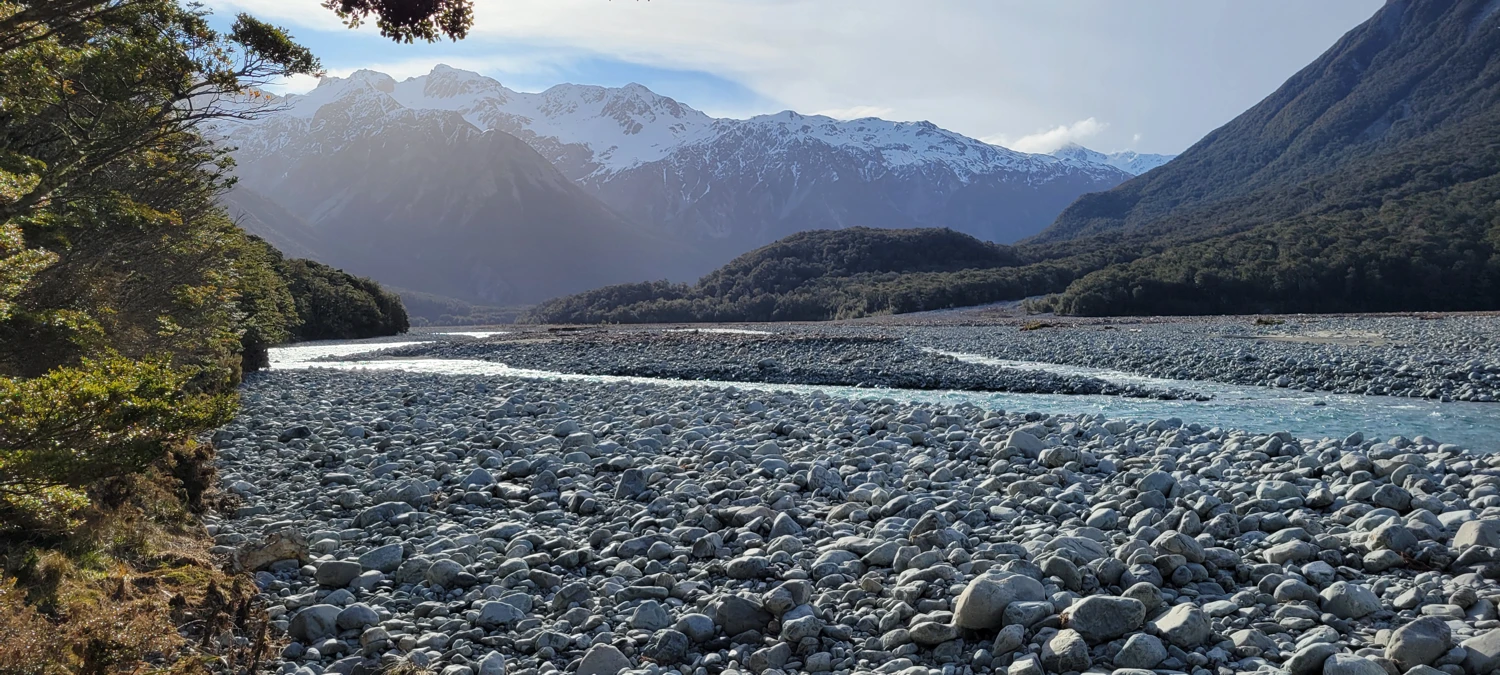
After realizing our miscalculation, we had to navigate back to the trail by walking up a steep forested slope. A few kilometers after leaving the hut, the trail dead ends at the shores of the Waimakariri River. From here we had to navigate multiple river crossings — some were as deep as just above my knees, though most were below.
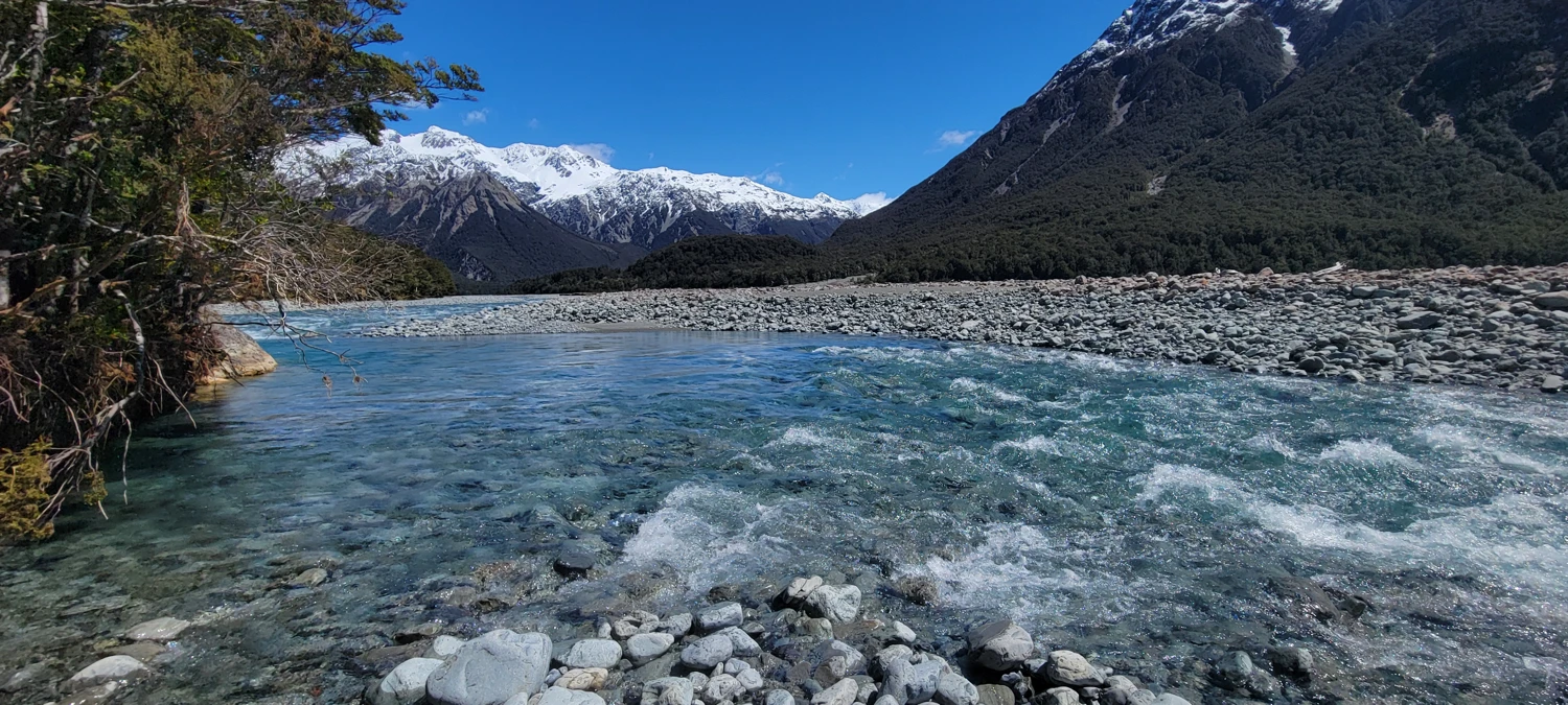
After what felt like an eternity of walking in water, we managed to locate the trail again and made it to Carrington Hut. For anyone headed out there, we found the trail again around these coordinates:
-42.98528, 171.46194.
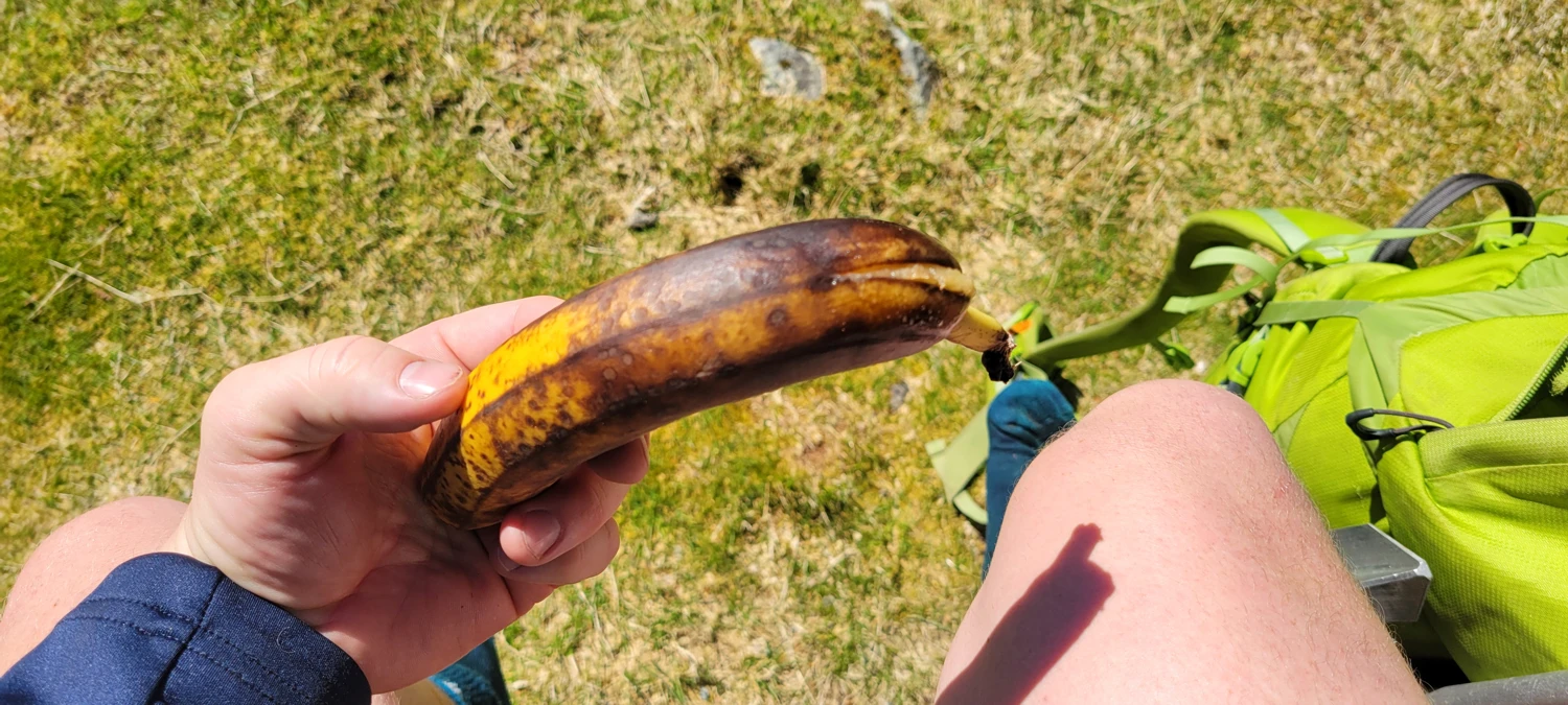
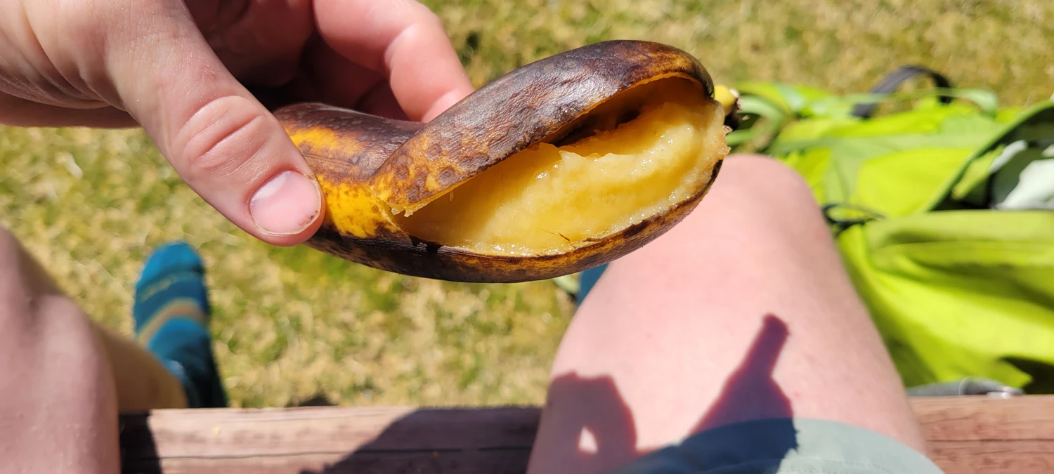
For the whole day, I had a banana that I was carrying in my pocket. When I took it out to eat, it had become brown and mushy. One thing I learned on this trip was: pocket bananas don’t work.
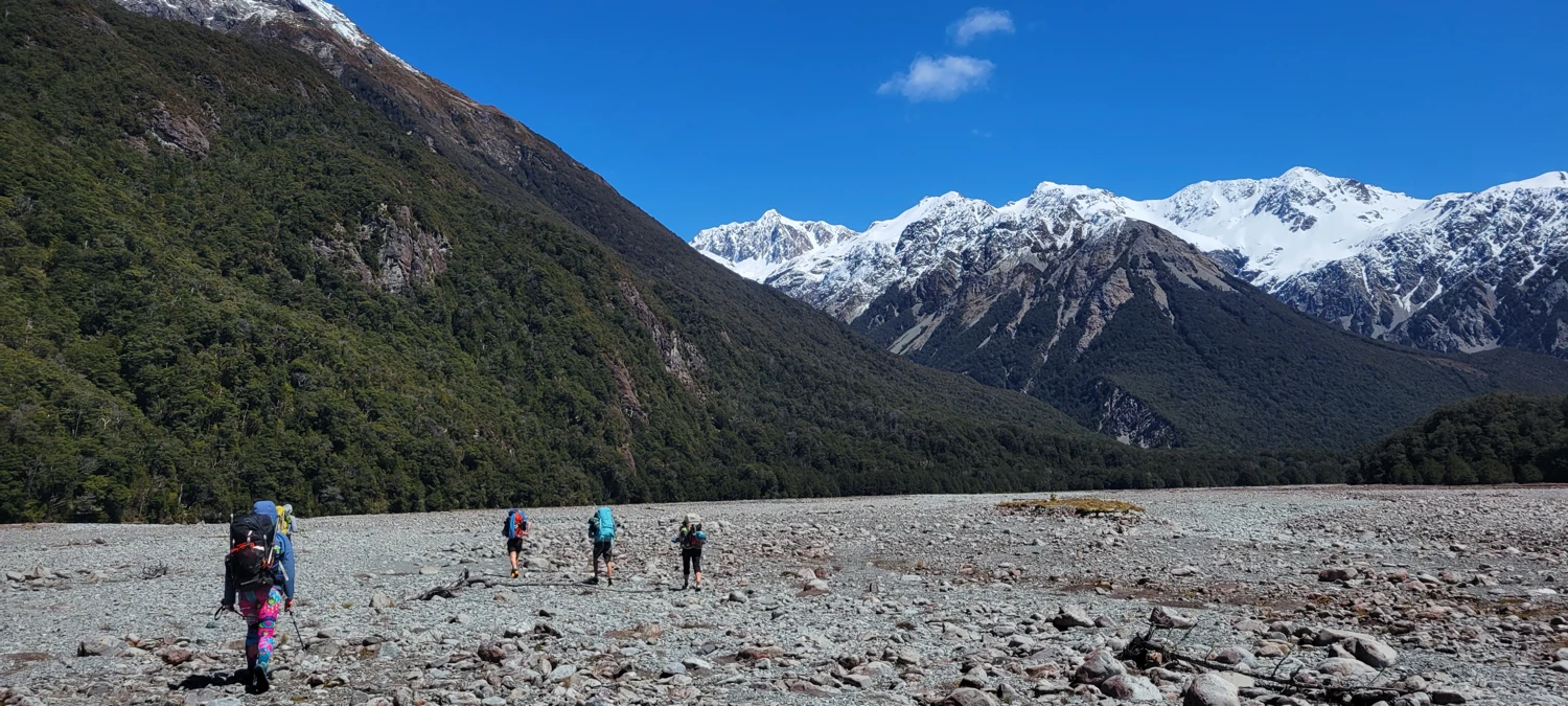
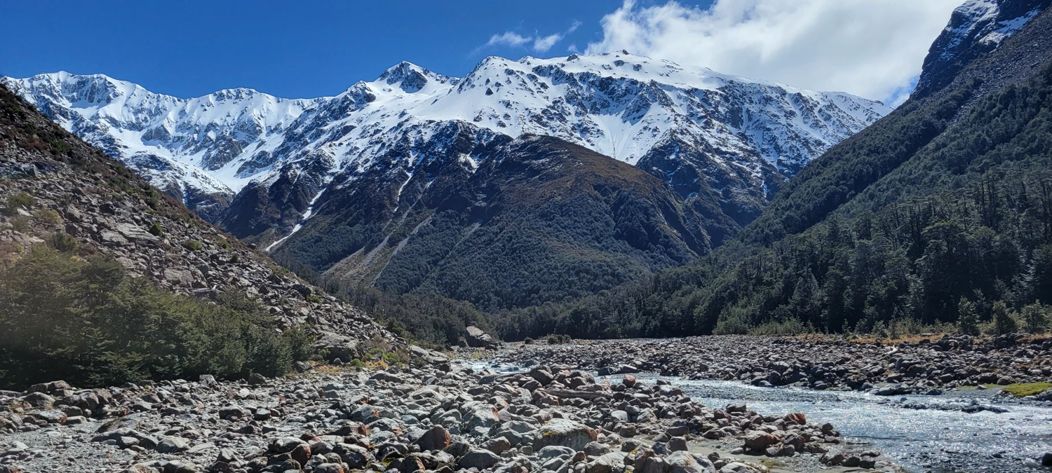
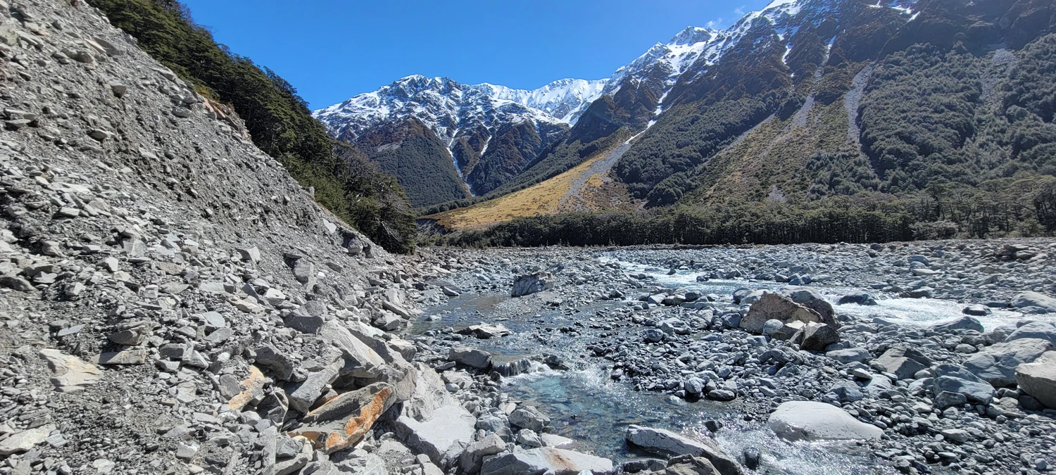
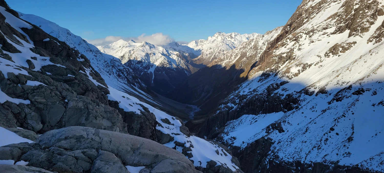
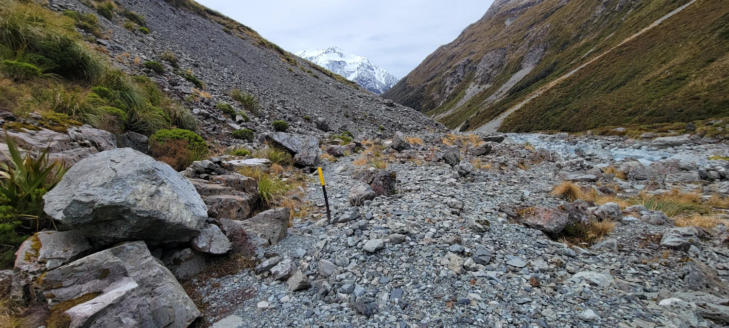
After Carrington Hut, there’s only around 2 km of trail before entering the White River valley. Navigating through here was easier than I thought — we just slowly worked our way up the true right of the river. Most of the water here is too deep to cross.
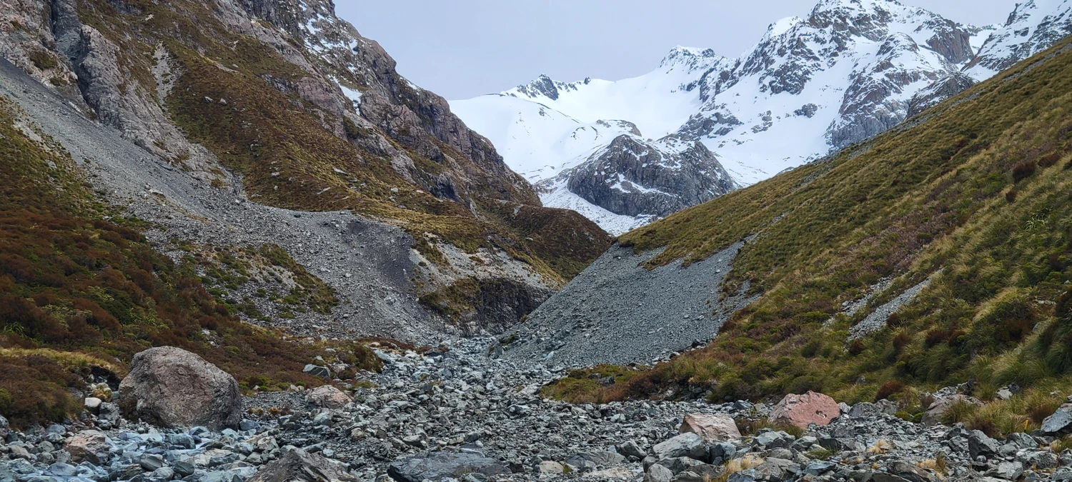
When we reached a section where the beach no longer had walking space, there was a large cairn on the opposite shore indicating that we should cross. We managed to find a spot where the water was fairly shallow, but much of the water in this area was waist deep or deeper.
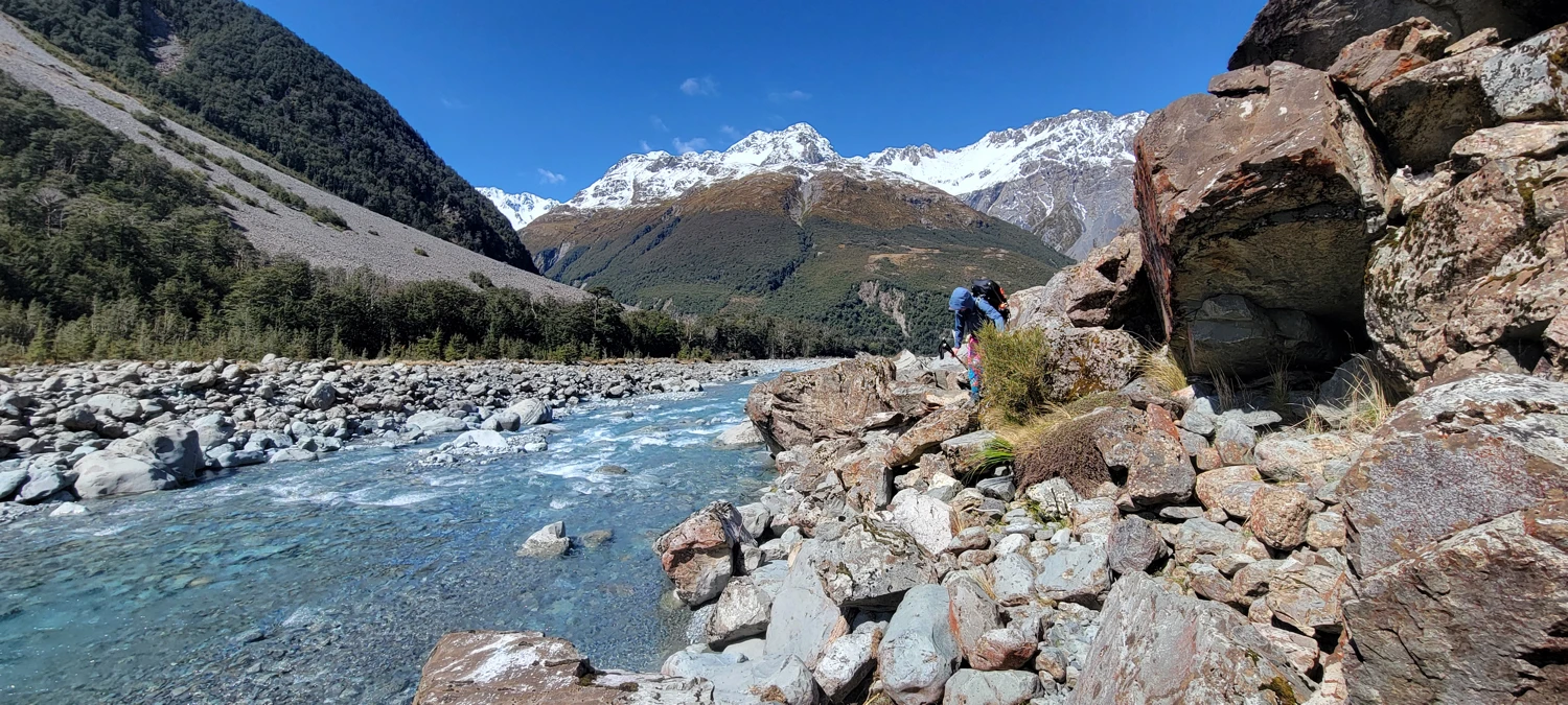
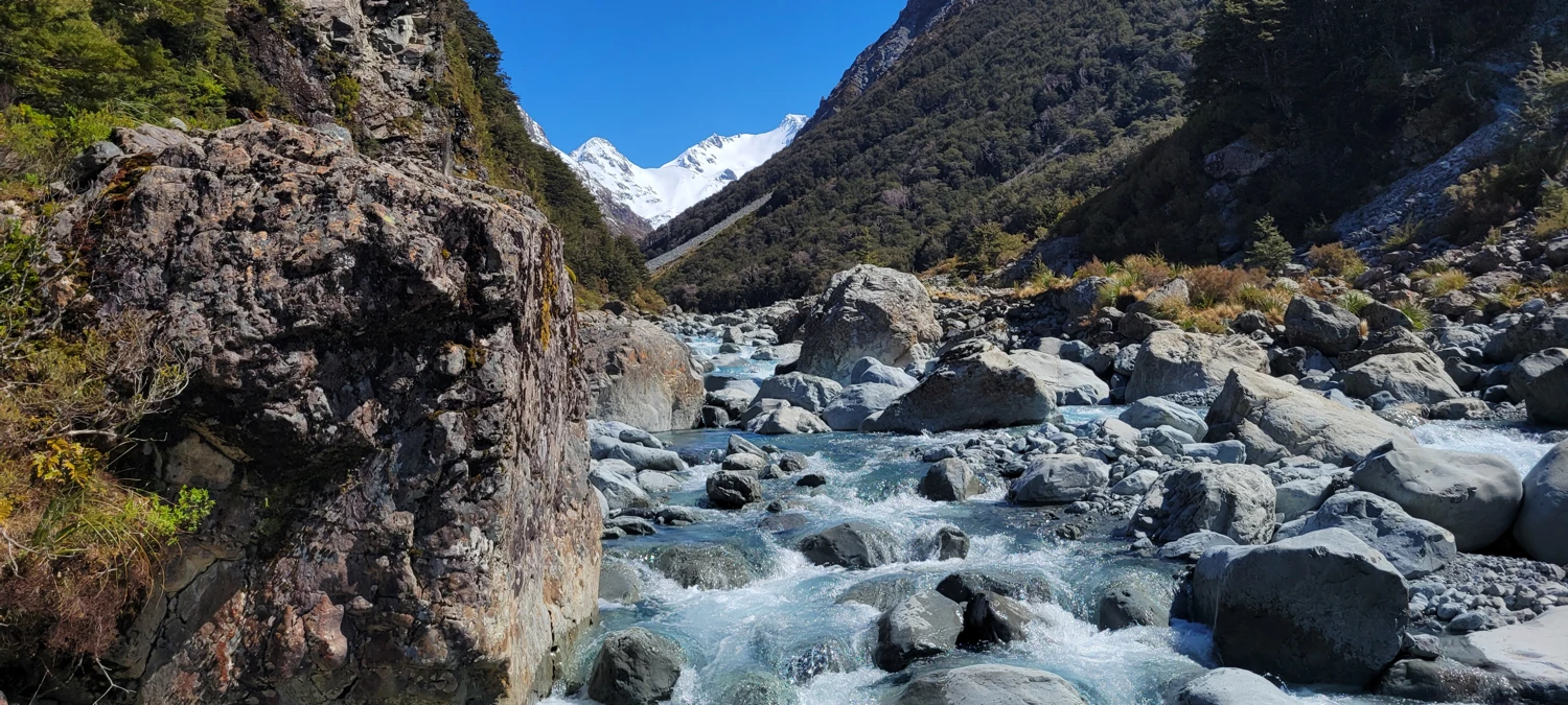
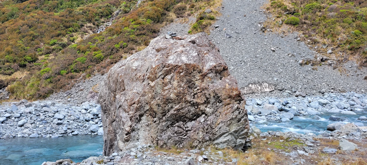
To make it to Barker Hut, it’s required to find the high route. From descriptions I’d read, there’s a large boulder that marks the spot where you should head up the hill. On this occasion, that giant boulder had a cairn on top of it and several more around it.
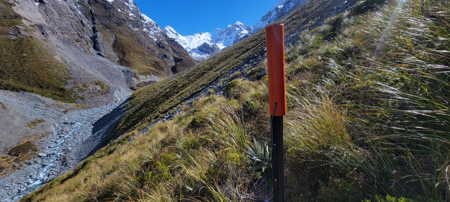
The high route was awful — heavily overgrown and sparsely marked. We got lost in the grass multiple times. The trail is there and occasionally has orange marker poles to follow. After battling with the tall grass for over an hour, we reached the final creek crossing for the day and the ascent to Barker Hut.
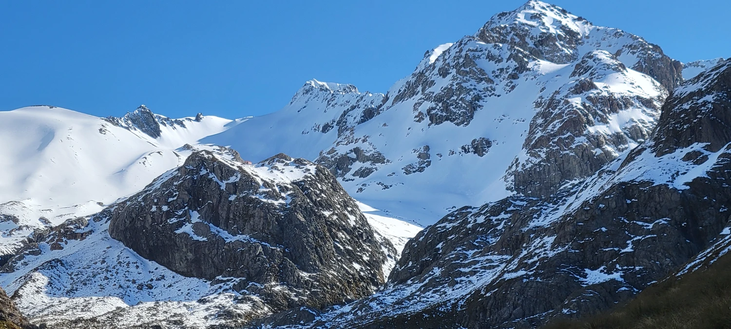
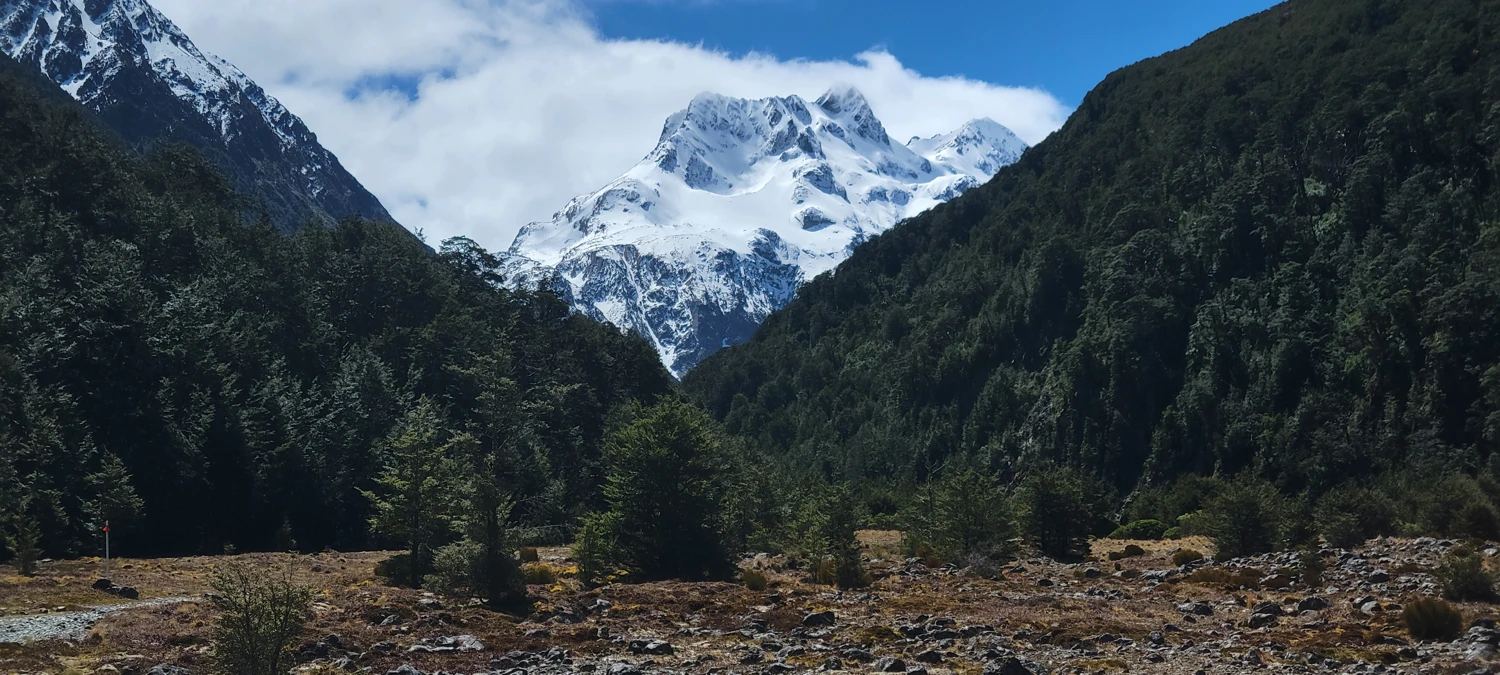
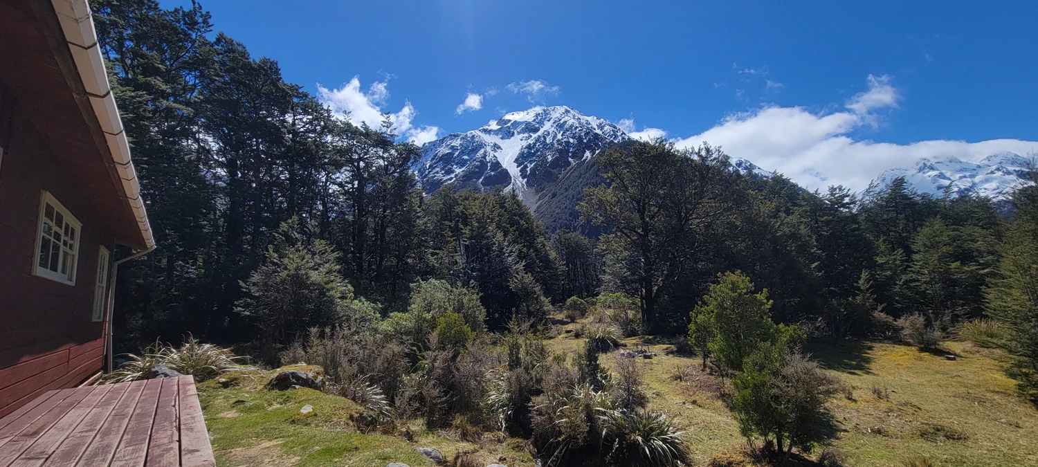
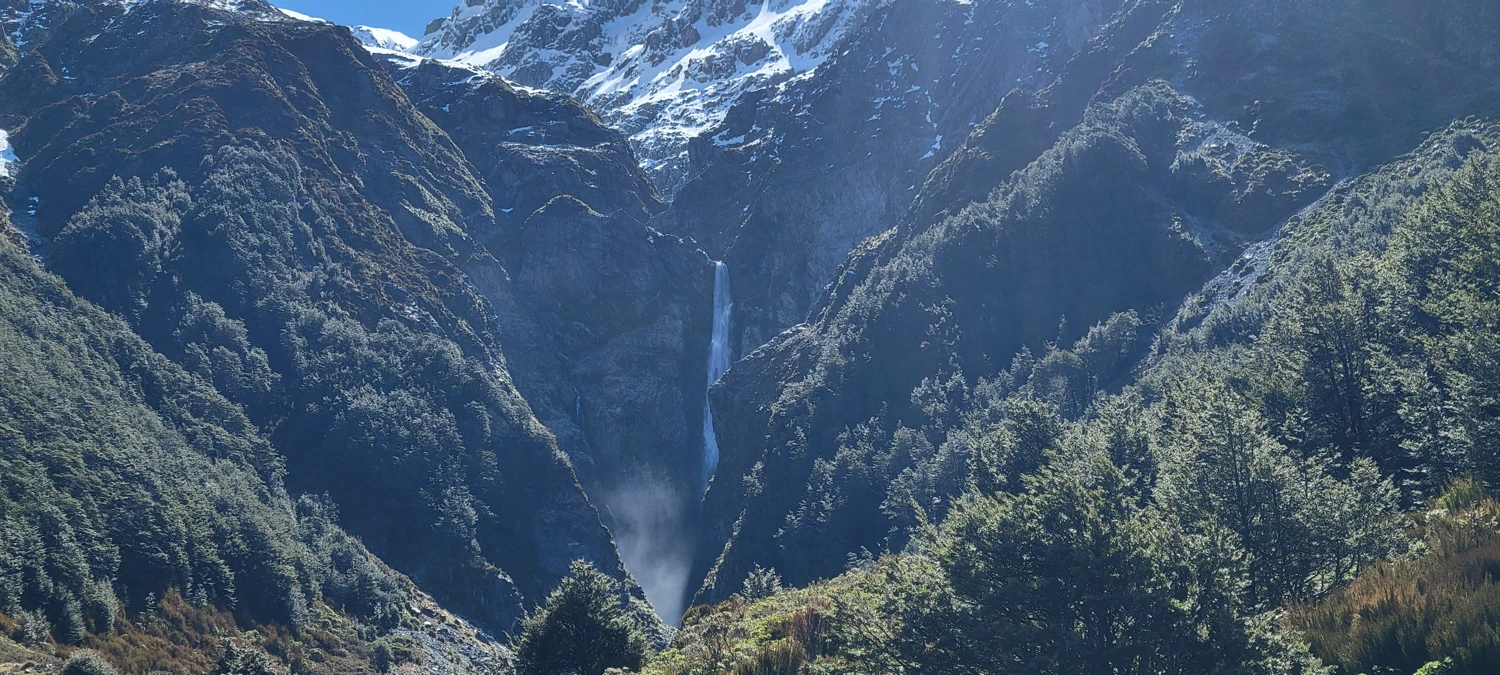
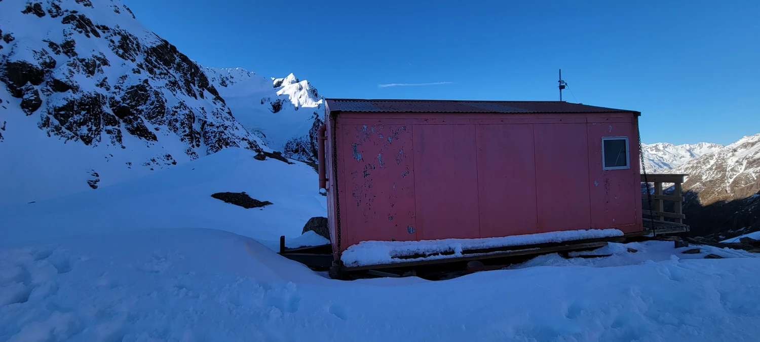
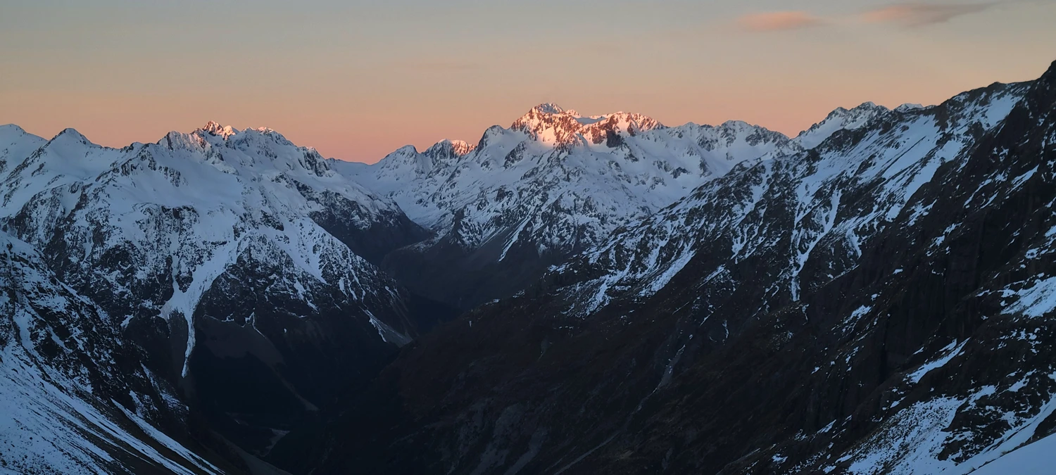
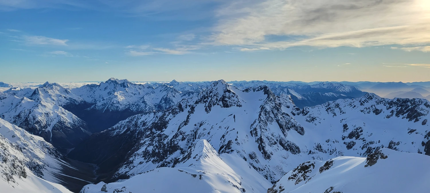
Barker Hut sits perched atop a bluff surrounded by jagged peaks in every direction — one incredible view of the peaks that make up the Shaler range. The hut is fairly small, with only 10 bunks, but they’re all double beds and can easily fit two people. The cooking area is very tiny, though, and sharing it between 20 people would be a bit suffocating.
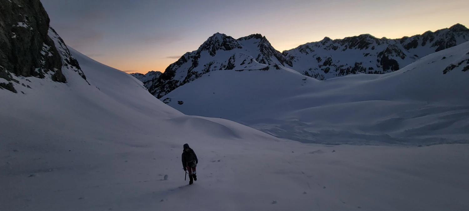
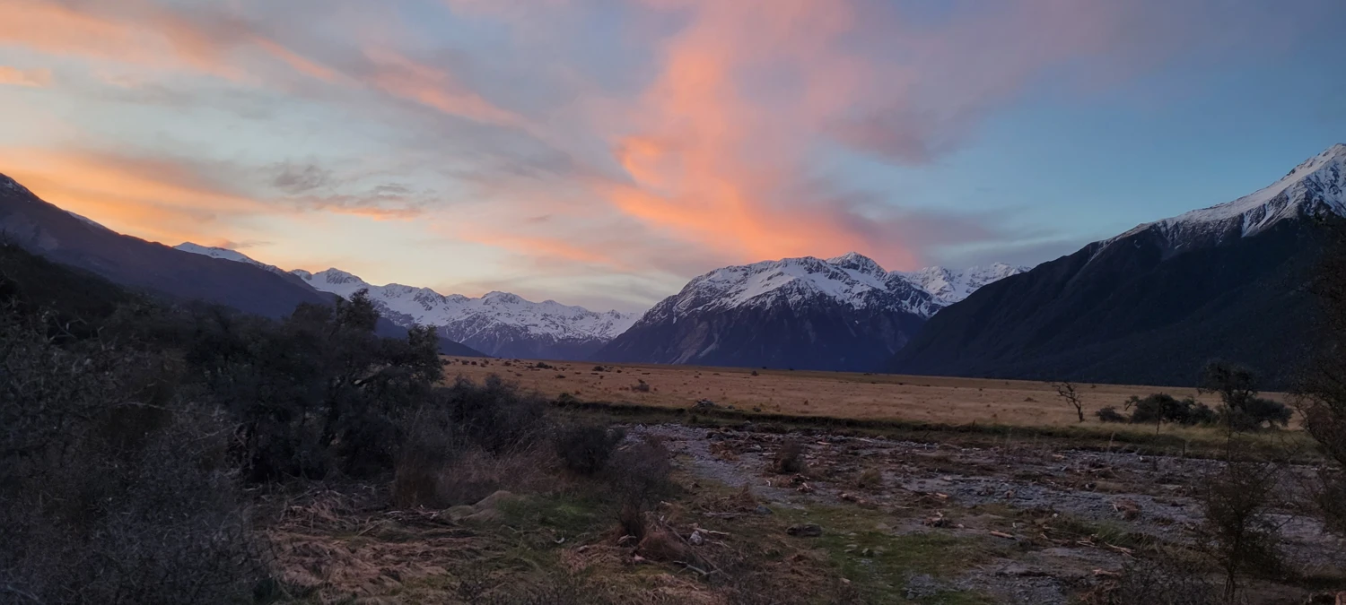
We got to the hut just before sunset. After getting into some dry clothes and heating up some soup, I wandered outside to admire the scenery. We were in bed by around 9 and settled on leaving at 4 a.m. for our summit attempt of Mount Murchison.
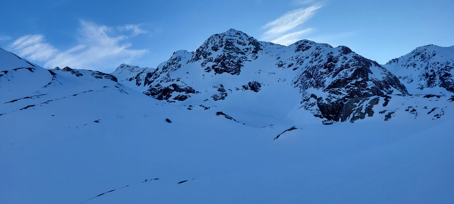
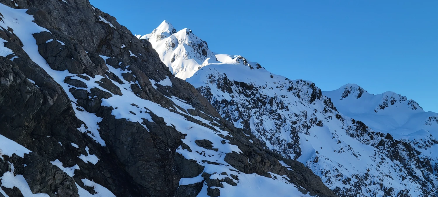
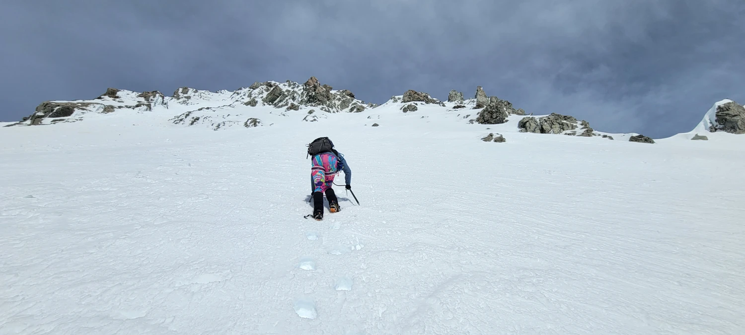
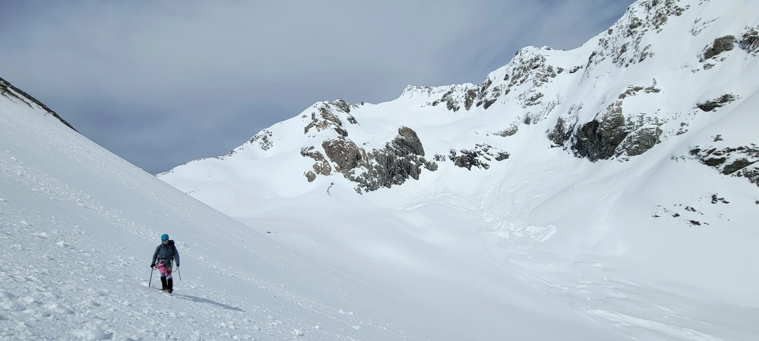
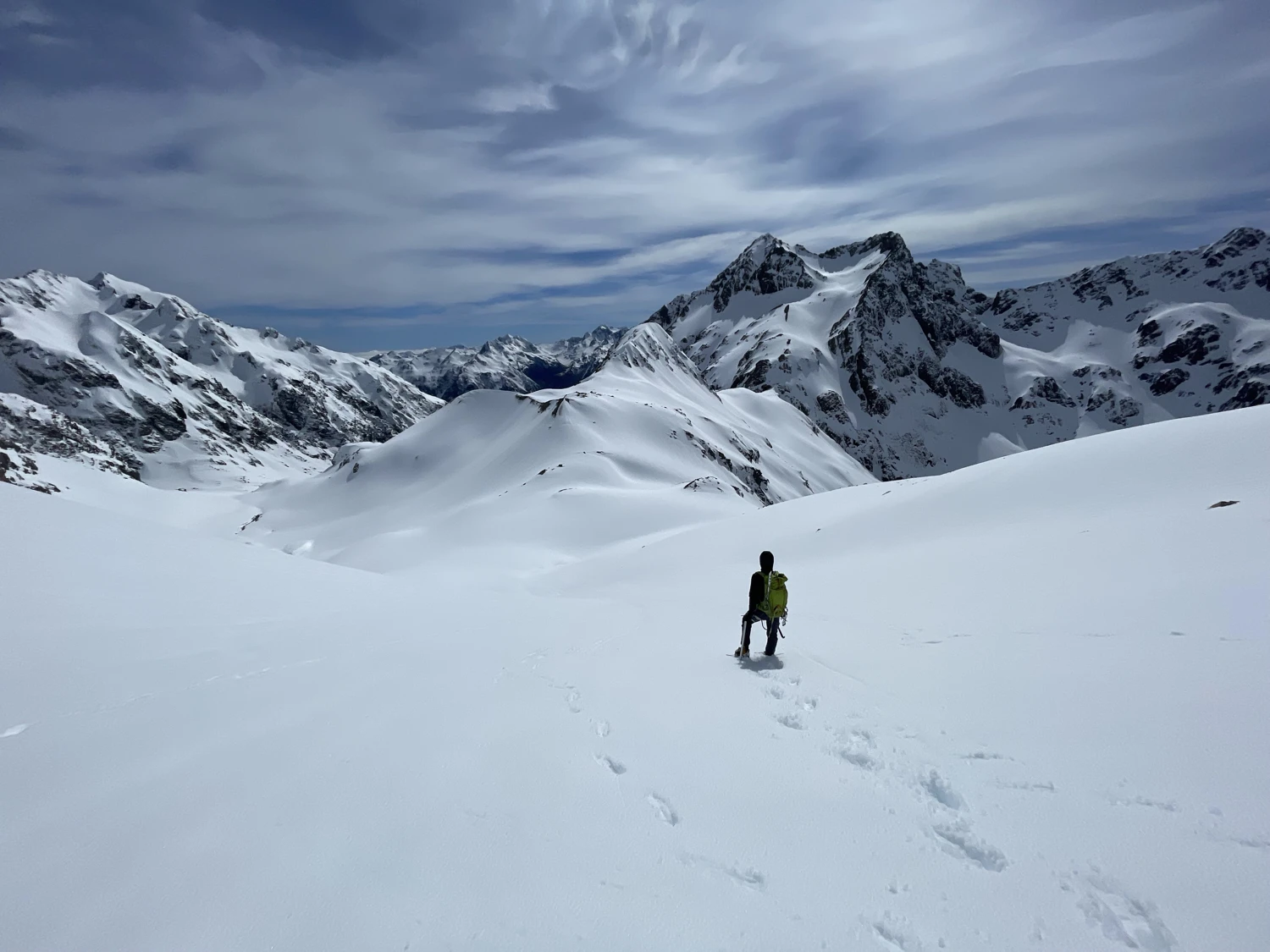
To make our ascent of Mount Murchison, we chose to traverse along climber’s right of the White Glacier. We stayed high, as we had read that there’s heavy crevassing lower on the glacier. To get onto the upper glacier, we found a ramp that — while steep — was easily climbable.
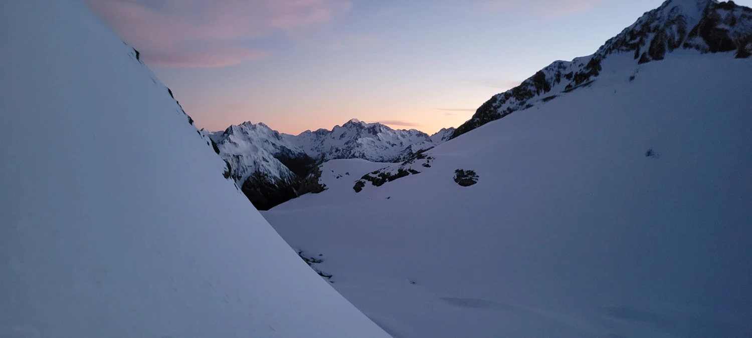
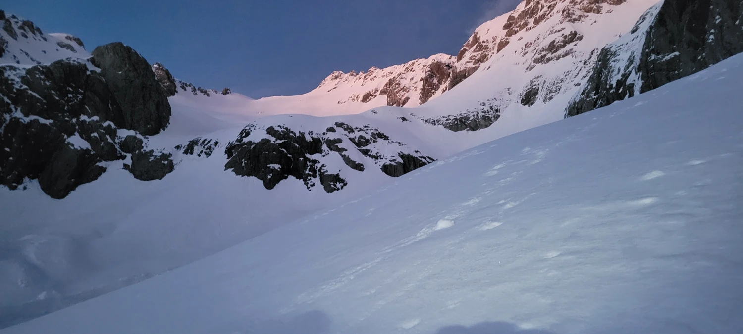
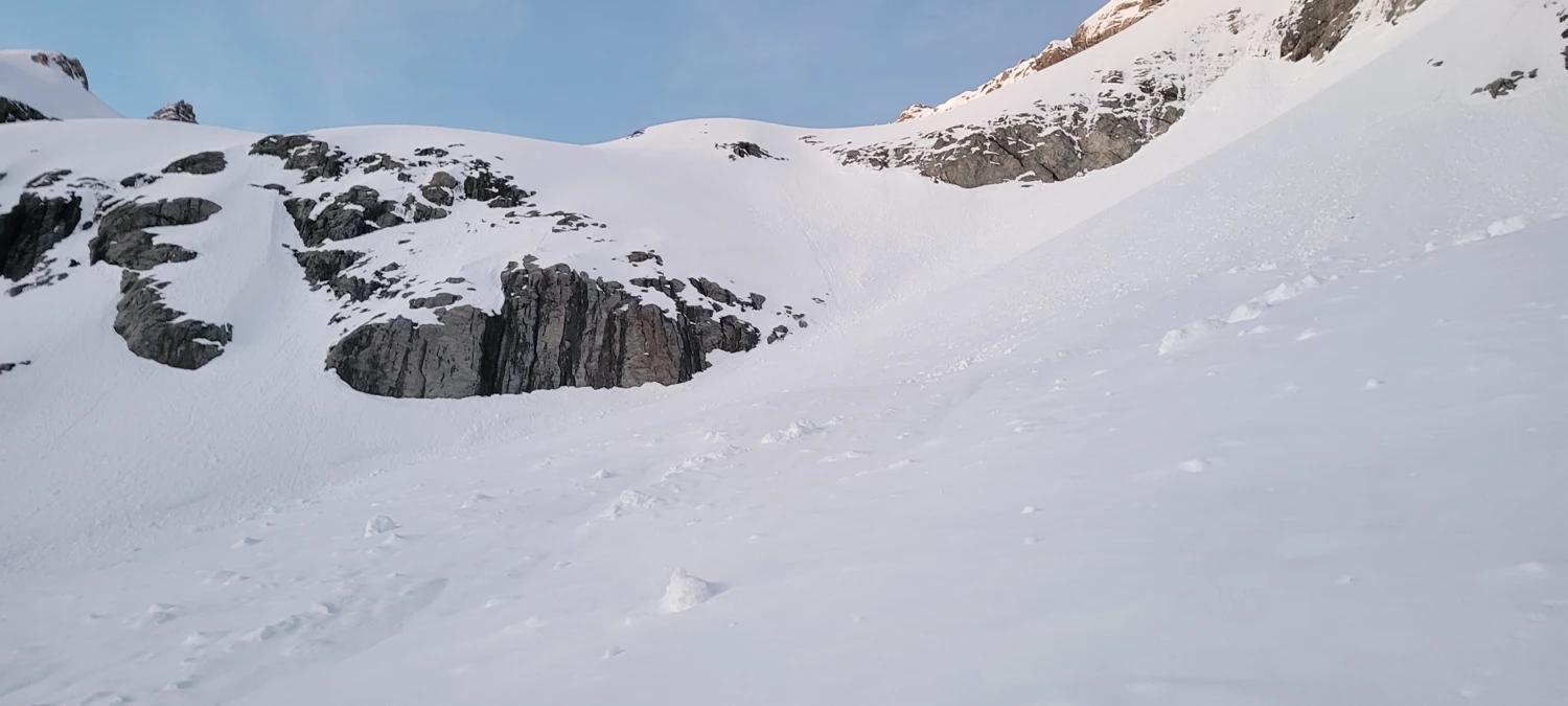
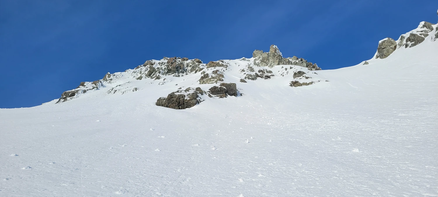
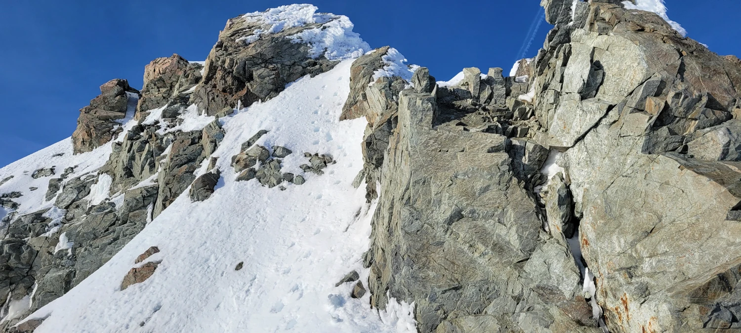
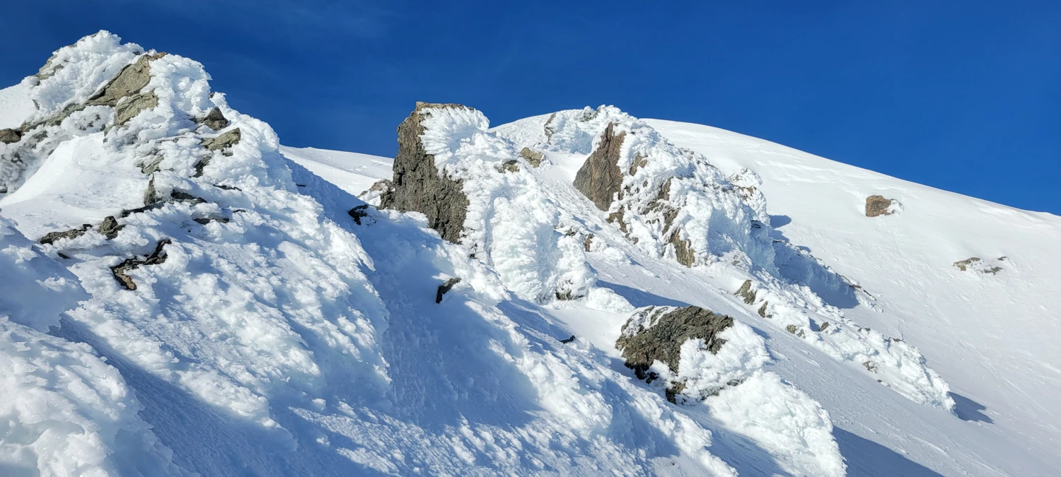
From here, we had to decide our route up Mount Murchison. From below, we could see a long, steep snow slope that led directly up to the ridge. Once on the ridge, the climbing was more technical than I had expected. We had to navigate around multiple small gendarmes, and much of the ground was frozen solid. Moving on ice required careful axe placement and focus.
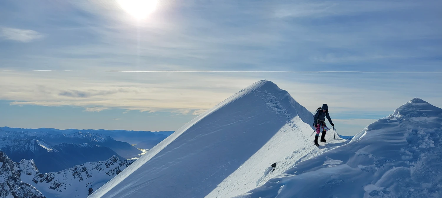
After 20–30 minutes of working our way up the ridge, we made it to a narrow ridge of snow that needed to be crossed to obtain the summit. The summit of Mount Murchison was incredible — but also incredibly windy.
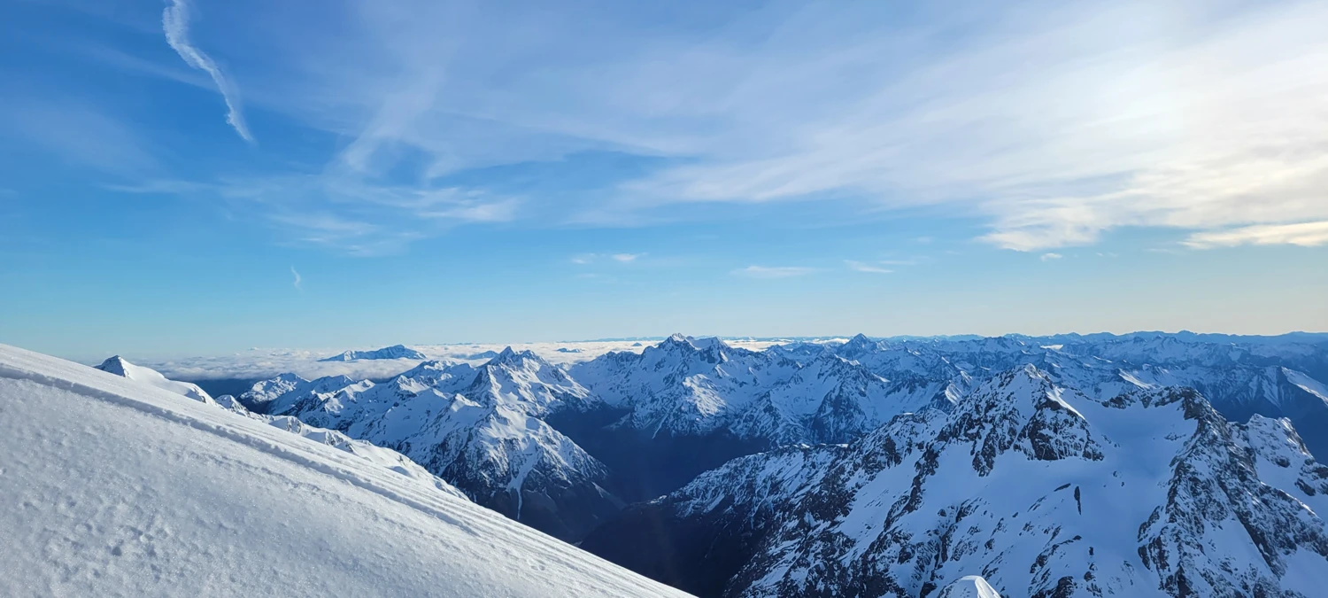
We managed to find a sheltered spot just below the summit where we could eat our summit Snickers. Since the sun was in full force and the day warming quickly, we didn’t stay long before heading back to Barker Hut. On our way back, we used the opposite side of the glacier — both directions were about the same level of difficulty.
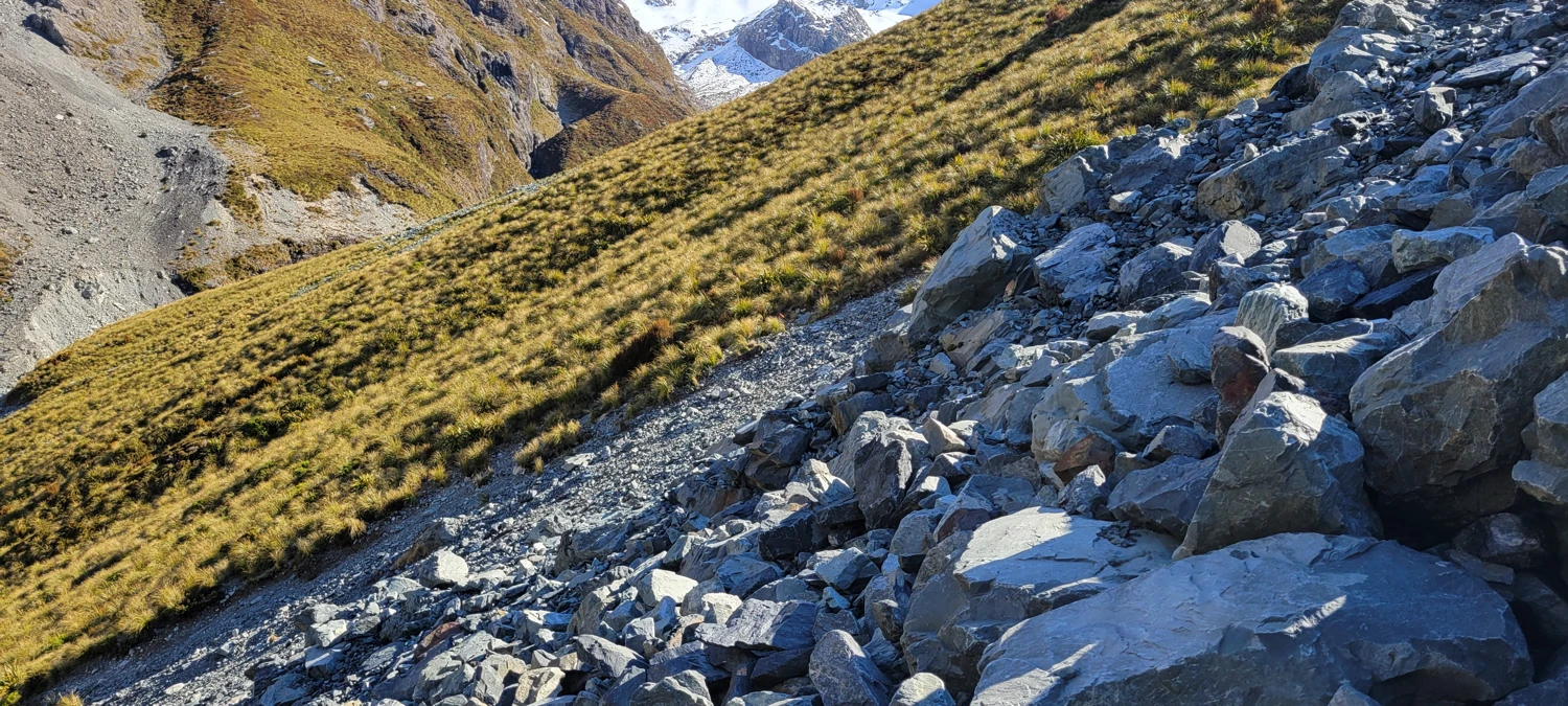
After a quick snack and a warm drink, we packed our bags and prepared for the long slog back to the car. After a brief walk along the high route, I became frustrated with trying to find our way again in the grass. When we reached a small creek bed that looked to have semi-stable rock, I chose to navigate us down to the White River.
As it turned out, there were cairns in the river bed indicating that others had also been frustrated with the high route. While one small section of the high route is necessary to navigate around an impassable part of the river, I’d opt for as much river bed as possible if I were to go again.
To distract myself on the trip out, I decided to count the number of times I had to step in or cross rivers along the way. For every number I said, I came up with a rhyme — such as “7, feeling like I’m in heaven” or “8, we’re getting home very late.” My total by the time we arrived back at the car was 42. So it would follow that we had to undertake a little over 80 river dips to complete this climb
We made it back to the car in just under 10 hours — just as dark was settling in for the day.
While I’m happy I made it to the summit of Murchison, I’d say that Mount Rolleston is a far more rewarding climb with a much less miserable approach.