


 Dec 25, 2023
I wanted to summit a mountain for Christmas, and Mount Owen ended up being the obvious choice. Kahurangi National Park looked like it had the best weather window, so we pointed the car that way and went for the tallest peak in the park. On paper, Mount Owen is mostly just a hike. In reality, it is a pretty demanding one, with a rough road approach, a route choice that matters, plenty of mud, and a summit surrounded by rock crevasses.
Before the walking even starts, the first hurdle is getting to the trailhead. Much of Wangapeka Road is unpaved, rough, and includes multiple creek crossings. The Dart River ford is the one worth paying attention to, so I would absolutely check conditions before heading in. Tasman District Council has river flow information here: Dart River conditions. We made it in with a Toyota Aqua, and there were a few other small cars at the trailhead too, but I would not call it a casual drive. DOC recommends 4WD for the road approach, and that recommendation is not there for decoration.
We picked Mount Owen largely because Kahurangi National Park gave us the best shot at decent Christmas weather. If you are not familiar with the area, this is the park page: Kahurangi National Park.
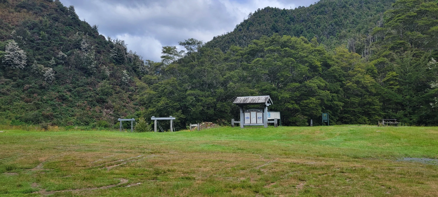
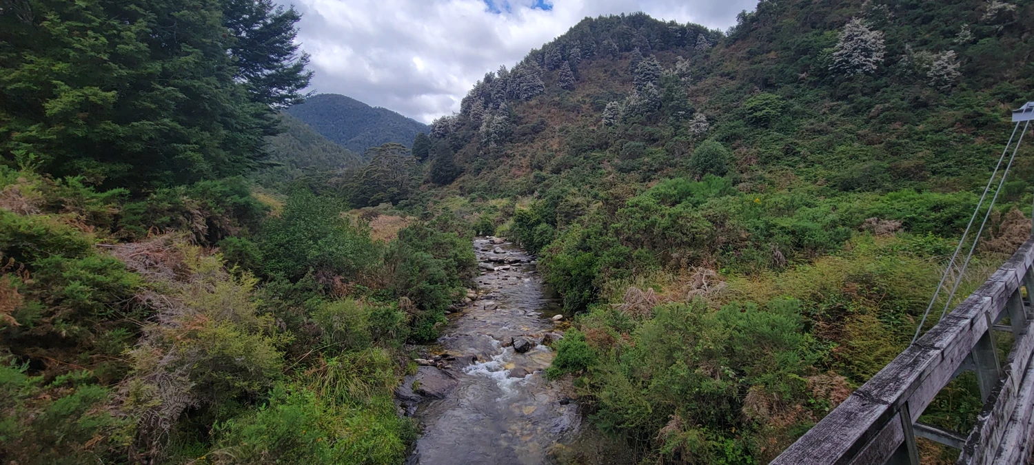
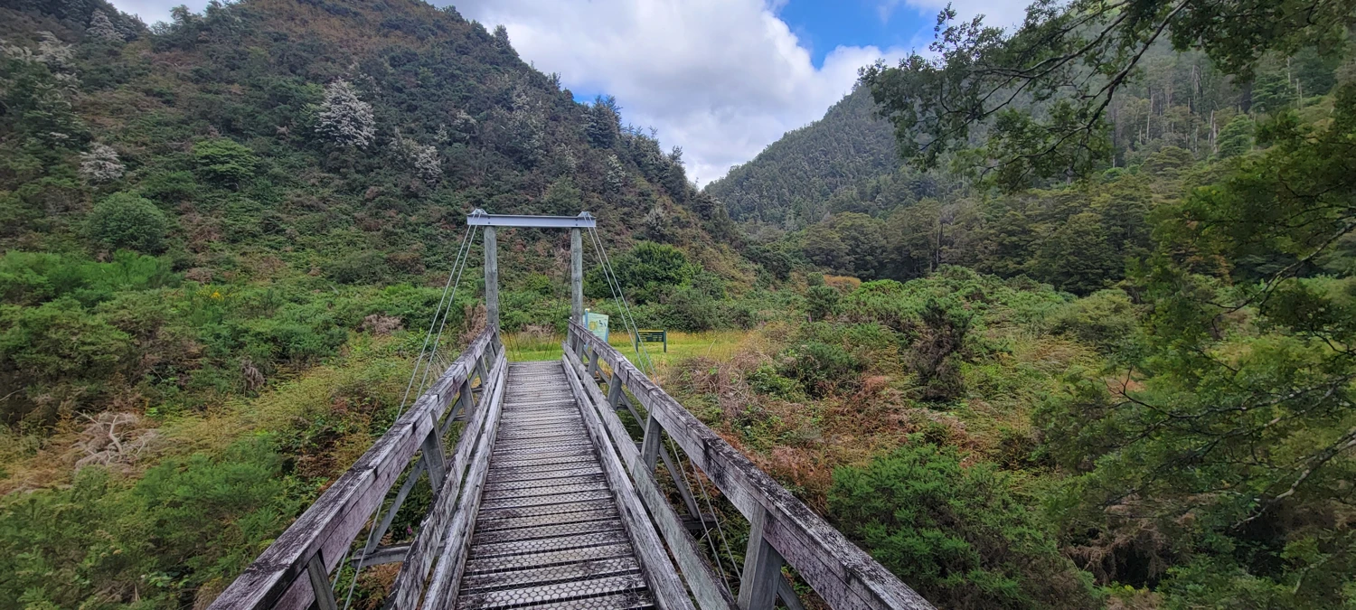
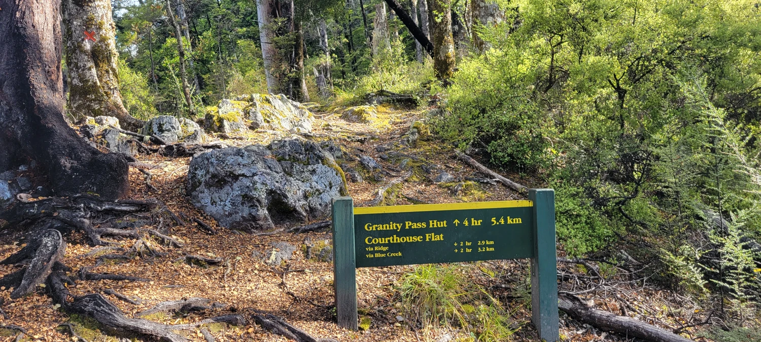
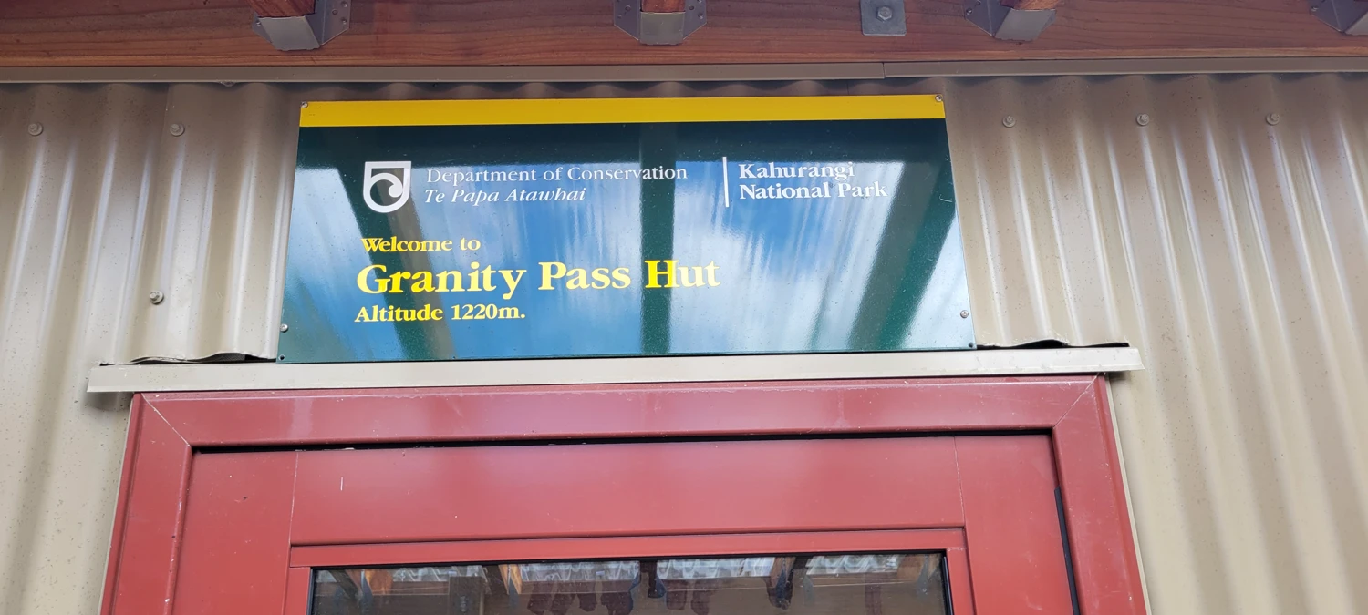
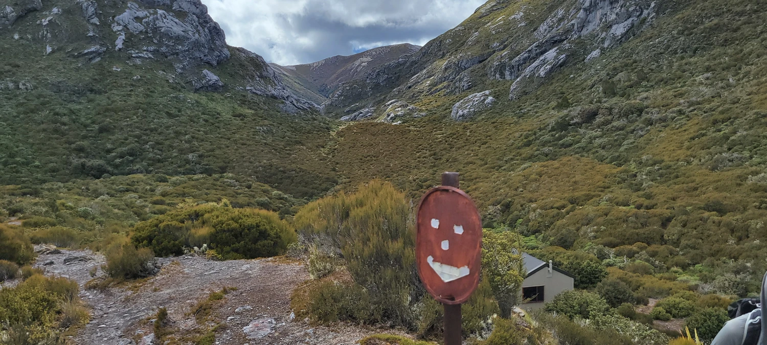
We did not start hiking until about midday, which normally feels a little lazy for a mountain trip, but this route breaks up well with a night at Granity Pass Hut. There are two options to reach the hut. We chose Blue Creek Track on the way in and planned to descend via the main Mount Owen Track on the way out. Granity Pass Hut itself is basic but perfectly serviceable, with 12 bunks, mattresses, a cooking surface, and a toilet. For a peak like this, that is more than enough. Here is the hut page: Granity Pass Hut.
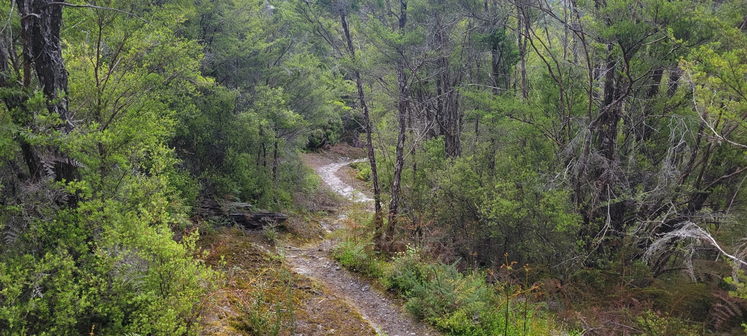
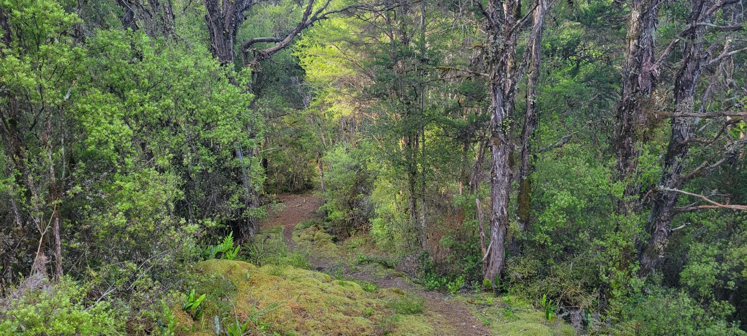
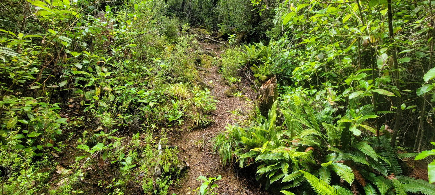
Blue Creek Track has a reputation for being a bit rough, and that felt accurate. Down low it was muddy almost immediately, and the mud kept up for about half the climb. Most of this track is not developed in any polished sense. It felt more like working through the bush than walking a maintained trail. In a couple of spots the route seemed to disappear into vegetation, and the whole thing had that mildly annoying character where you know you are probably still on route, but you keep scanning around just in case. It only lasts around 3 kilometers, but it does not feel especially quick. Anyone looking for the easier line would be better off taking the Mount Owen Track instead.
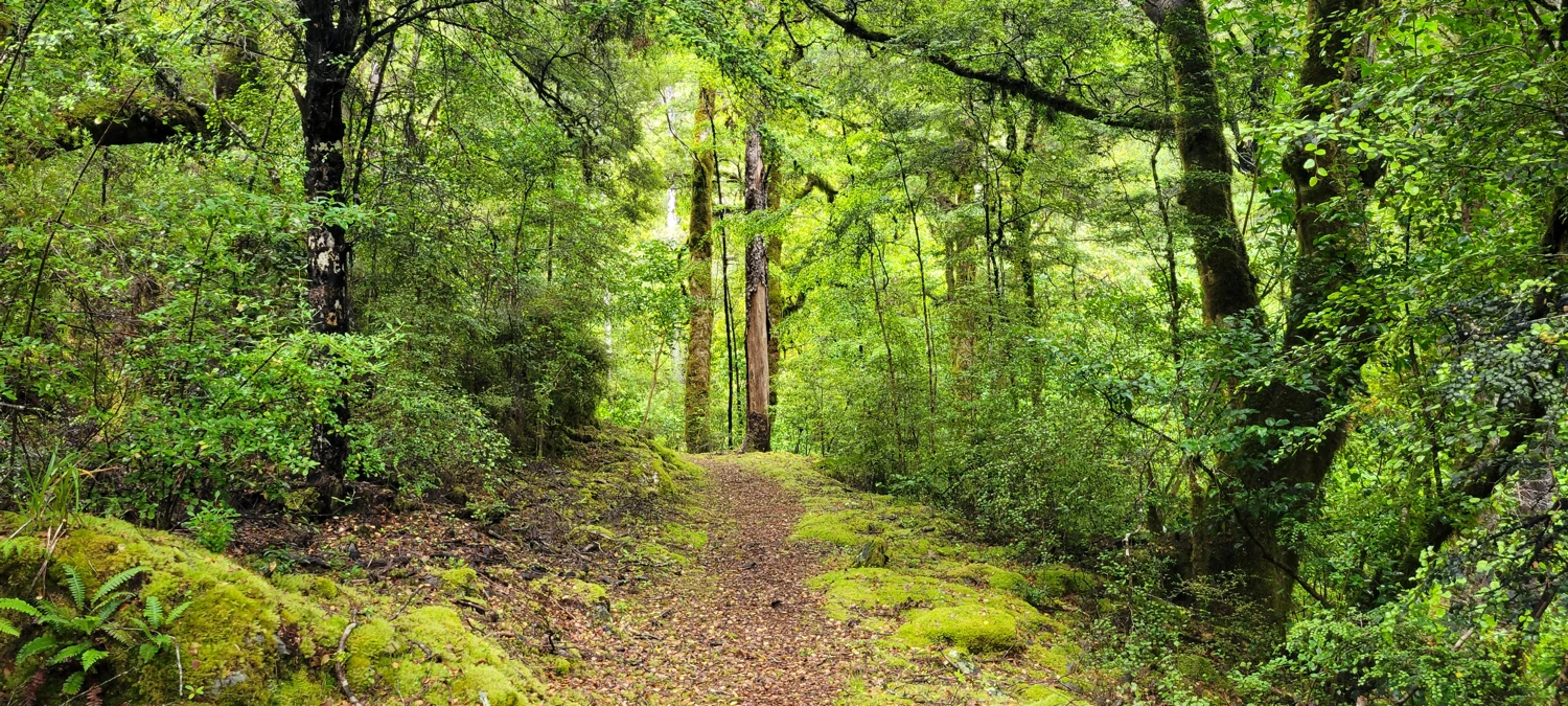
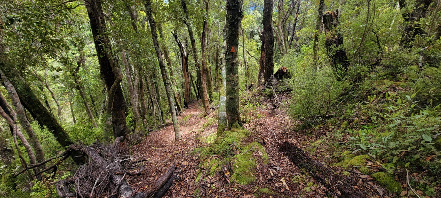
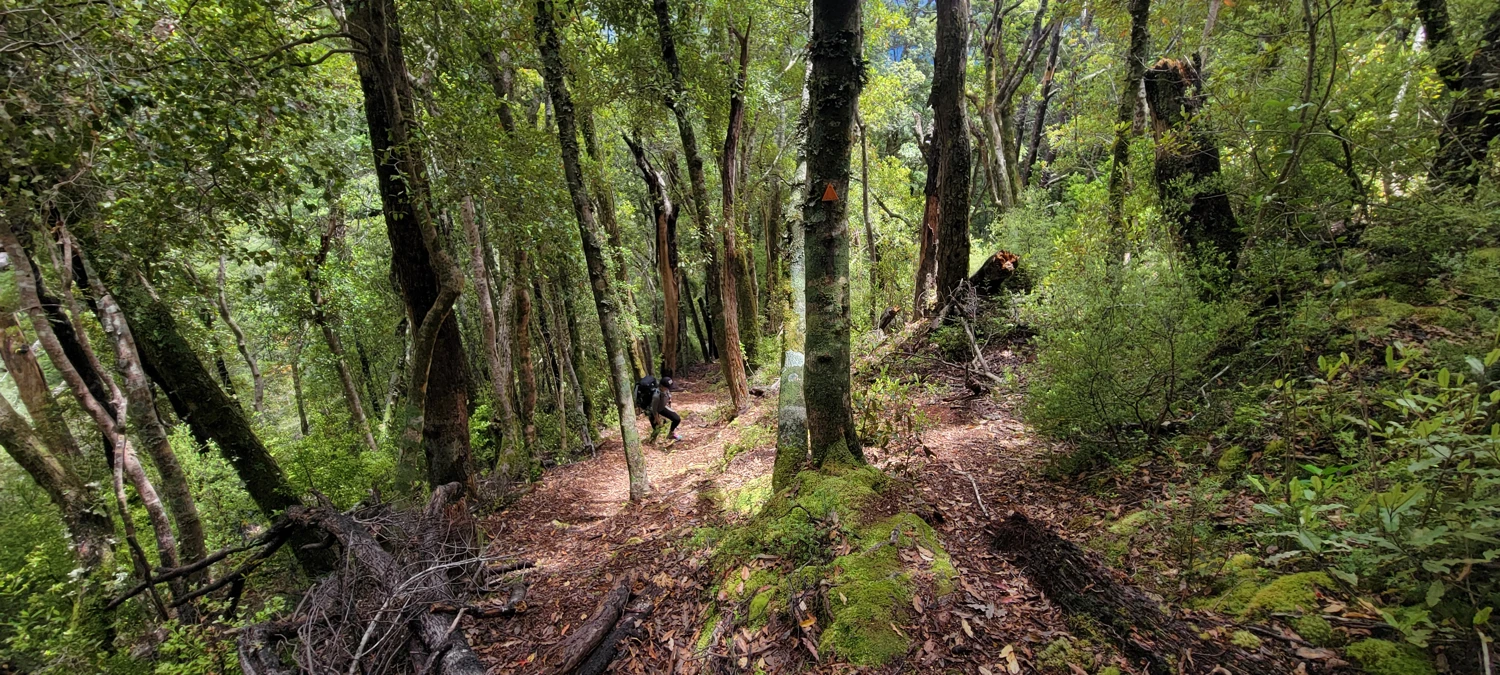
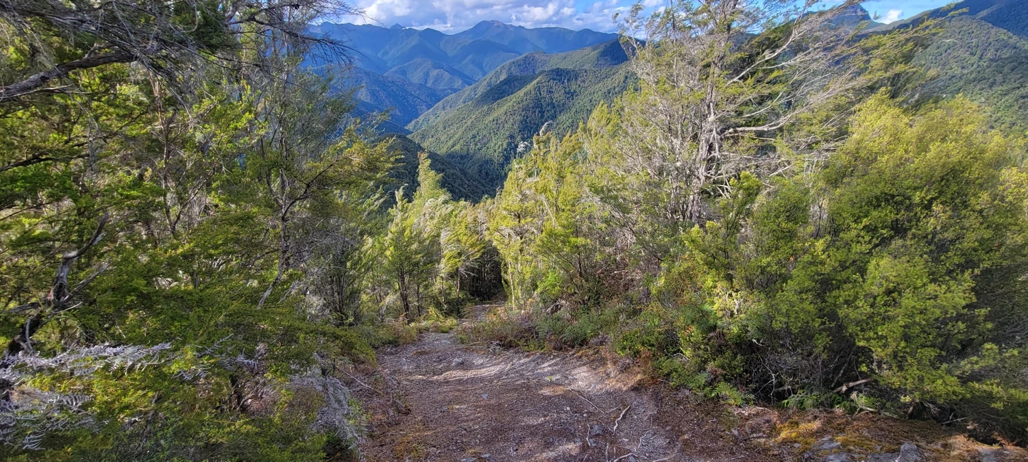
Once Blue Creek rejoins the main route, the going improves. The trail becomes much easier to follow, though not exactly easy. There are steep sections where hands come into play, especially on the descent, but at least the forest opens up and you are no longer fighting bush the whole time. That alone feels like a gift.
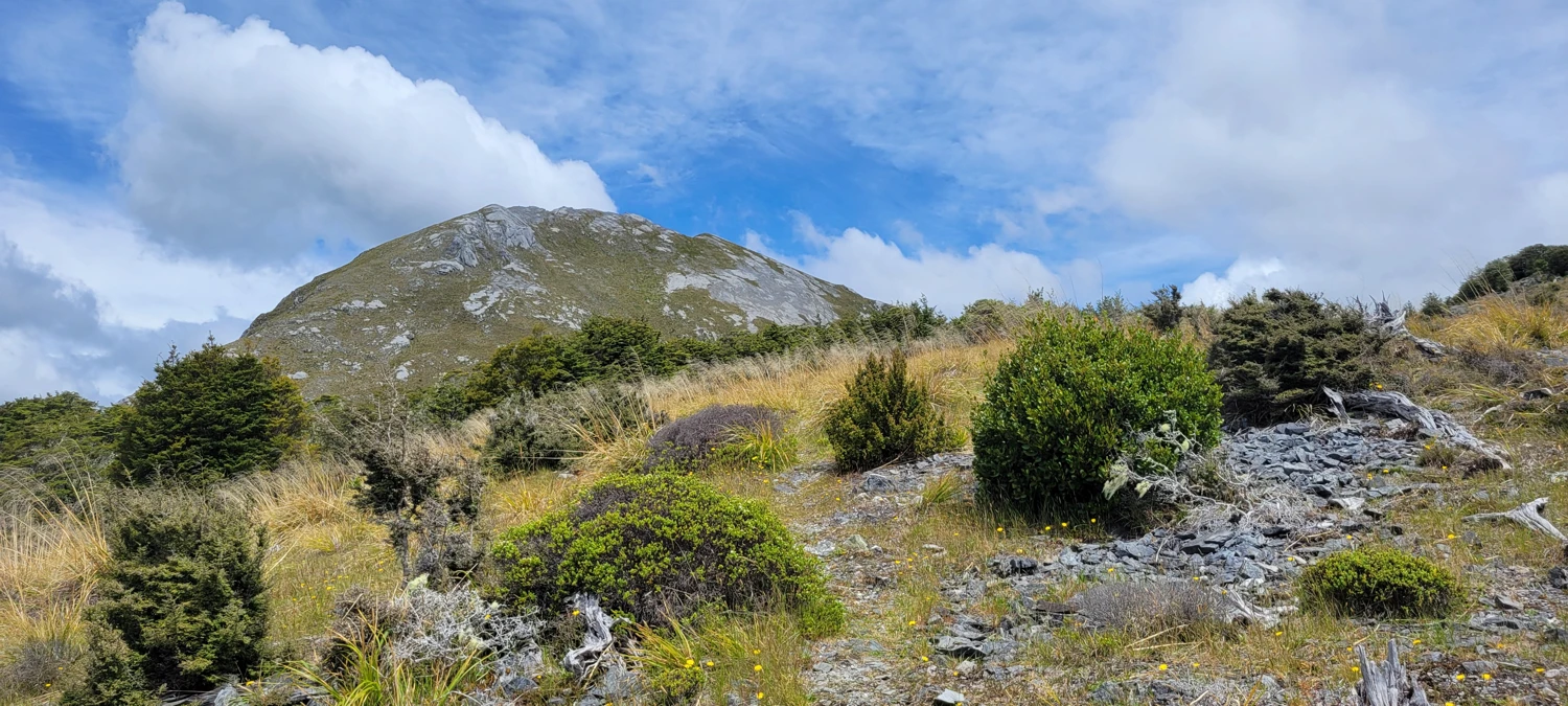
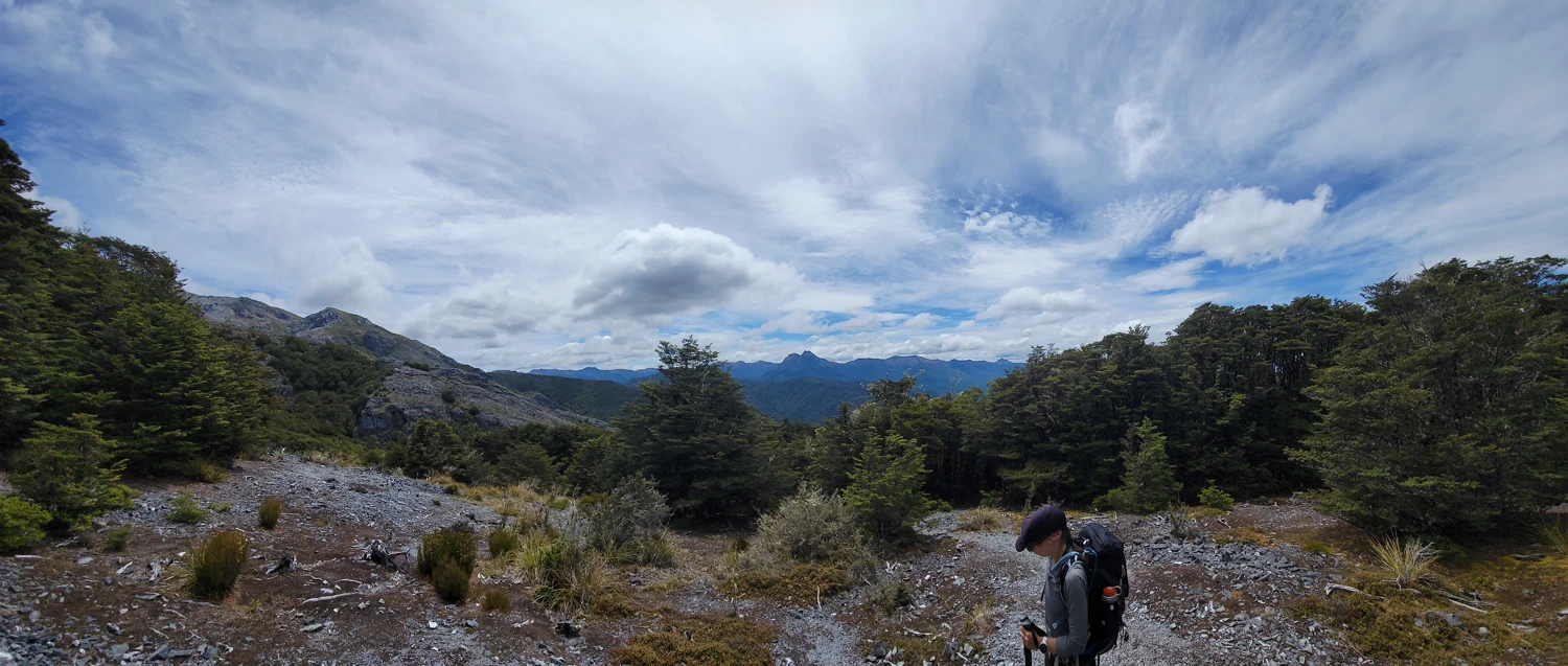
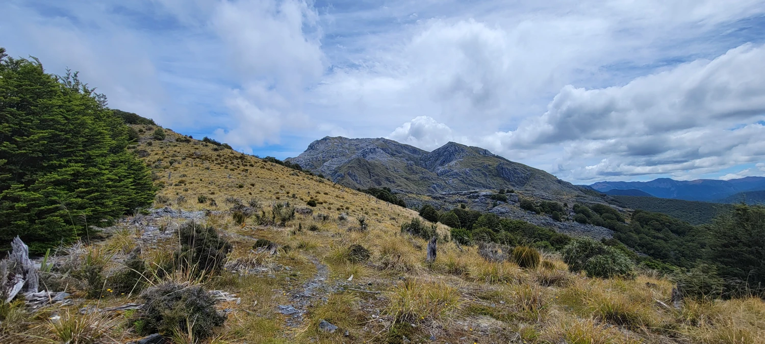
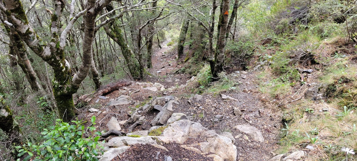
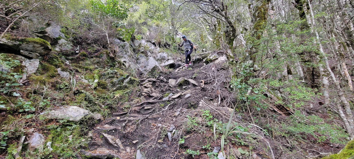
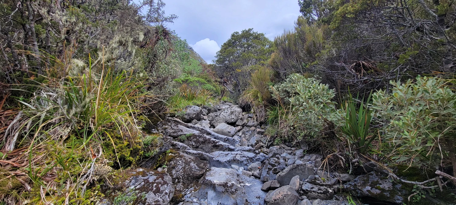
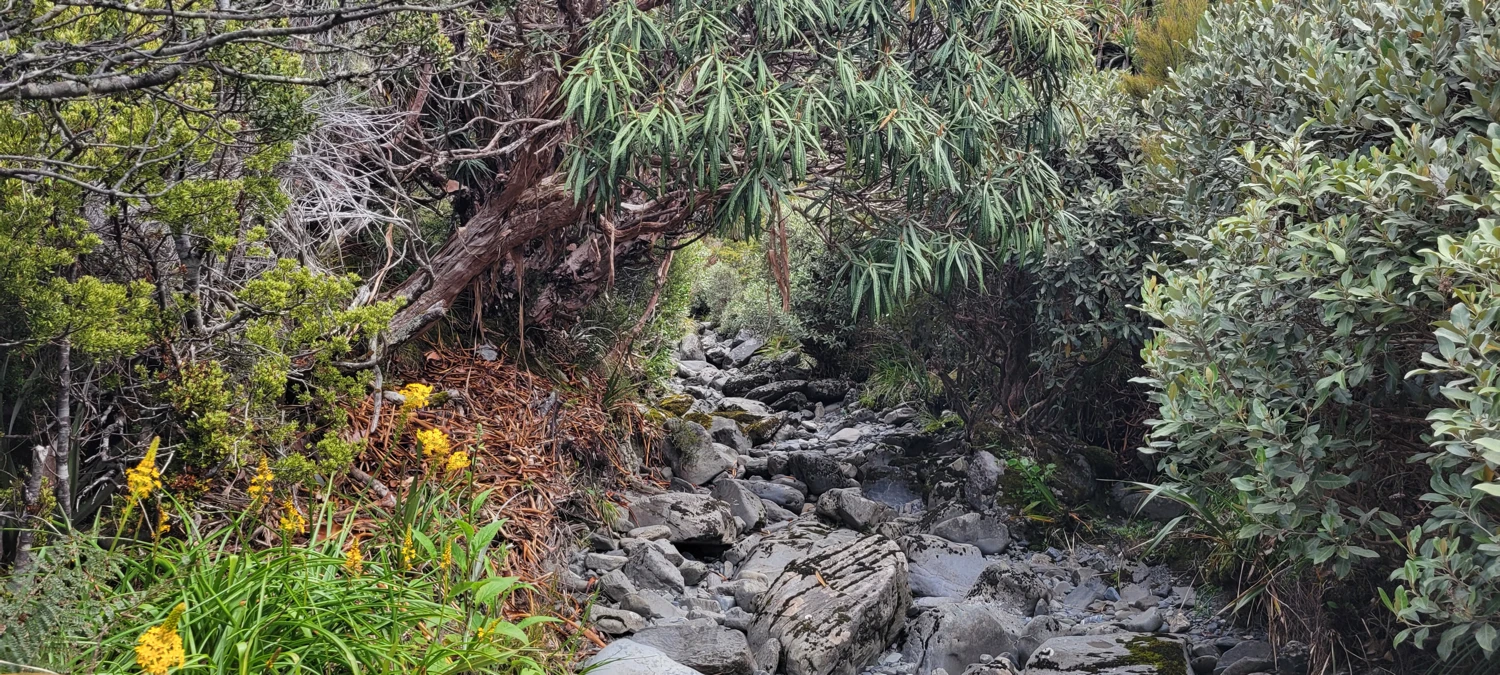
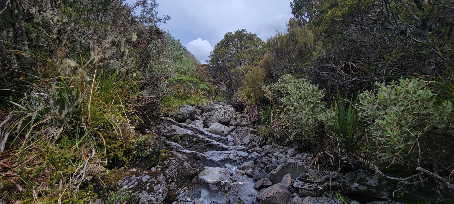
The final stretch to Granity Pass Hut is another odd little section. Once the trail breaks toward the hut, there are markers but not much of a formed trail. In practice, the creek is the trail. If there had been recent heavy rain or more snowmelt, I could see that being a genuine problem. For us it was manageable, helped by plenty of orange markers, and it only lasted about 2 kilometers.
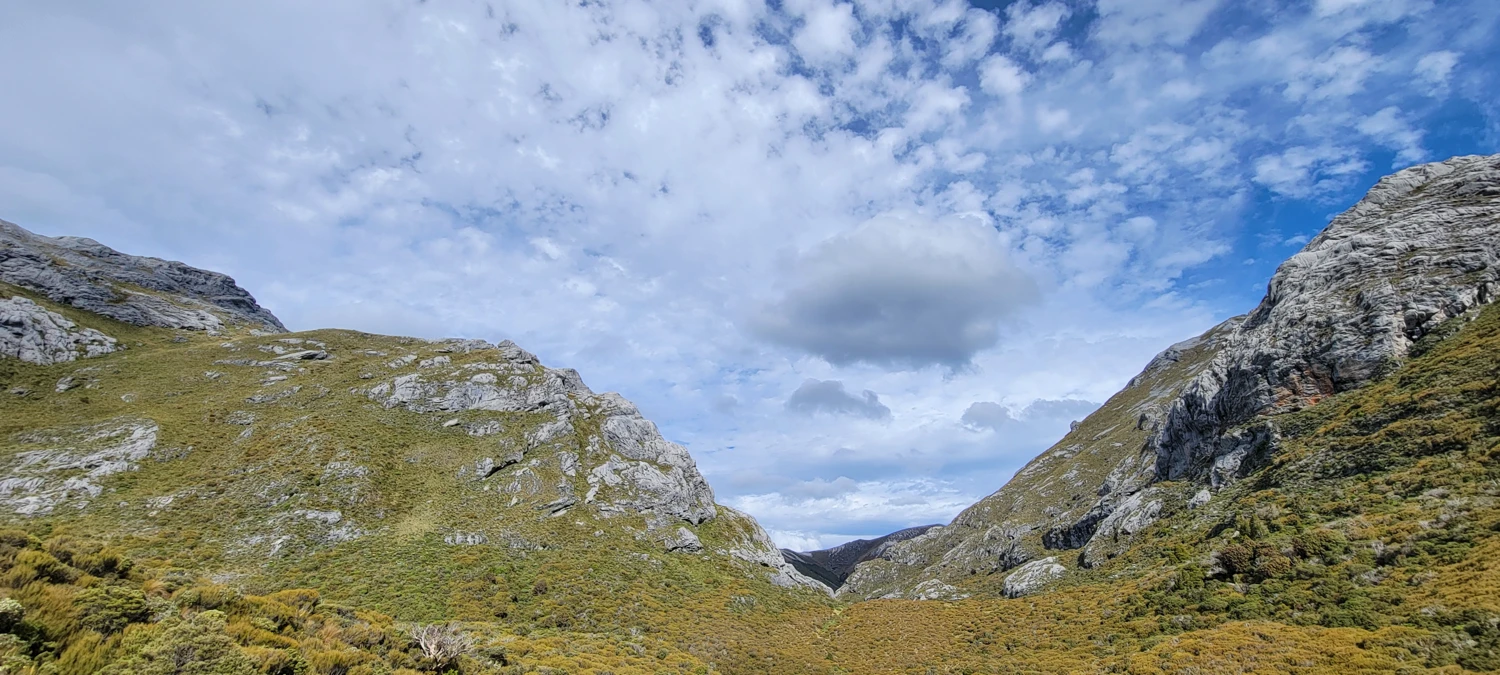
It took us around five hours to get to Granity Pass Hut. Only two other people were there, which felt surprisingly quiet for such a good weather window. The setting around the hut is nice, though Mount Bell blocks much of the western view, so sunset was nothing special. Still, the big advantage is location. Being only about 5 kilometers from the summit of Mount Owen meant we did not need to make an alpine start.
 Dec 26, 2023
We left for the summit around 9:30 the next morning. The first section above the hut gets steep quickly, climbing a ridge into the basin below Mount Owen and Mount Bell. The basin itself is dotted with tarns and was extremely muddy when we came through. It had rained a couple of days earlier, which probably did not help. It was messy enough that I stopped pretending I would keep my shoes clean and just accepted the situation.
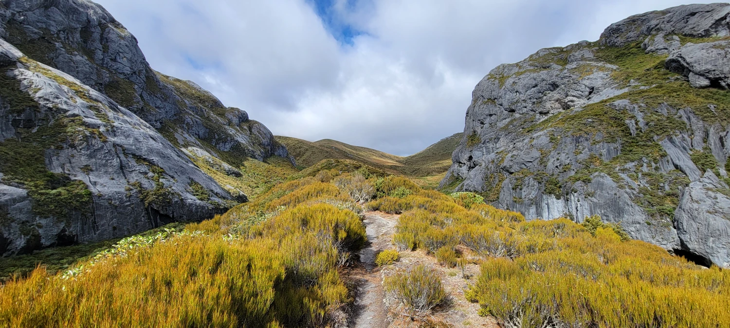
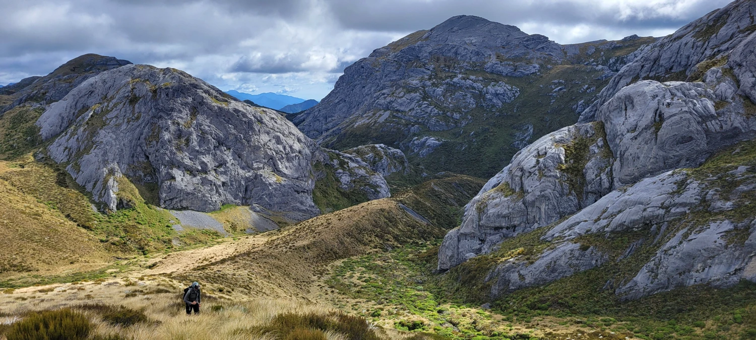
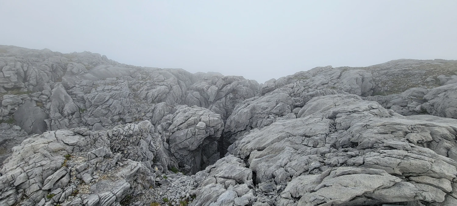
Then came the best feature on the entire route: the rock crevasses. This part of Mount Owen is famous for a reason. The limestone has been shaped by karstification, leaving deep slots and broken channels in the rock that look almost unreal when you first walk into them. They are much larger than I expected and deeper too. Getting through them required some scrambling and a few hand moves, but nothing especially difficult in dry conditions. Even if I had not gone on to the summit, hiking up to the crevasses alone would have felt worthwhile.
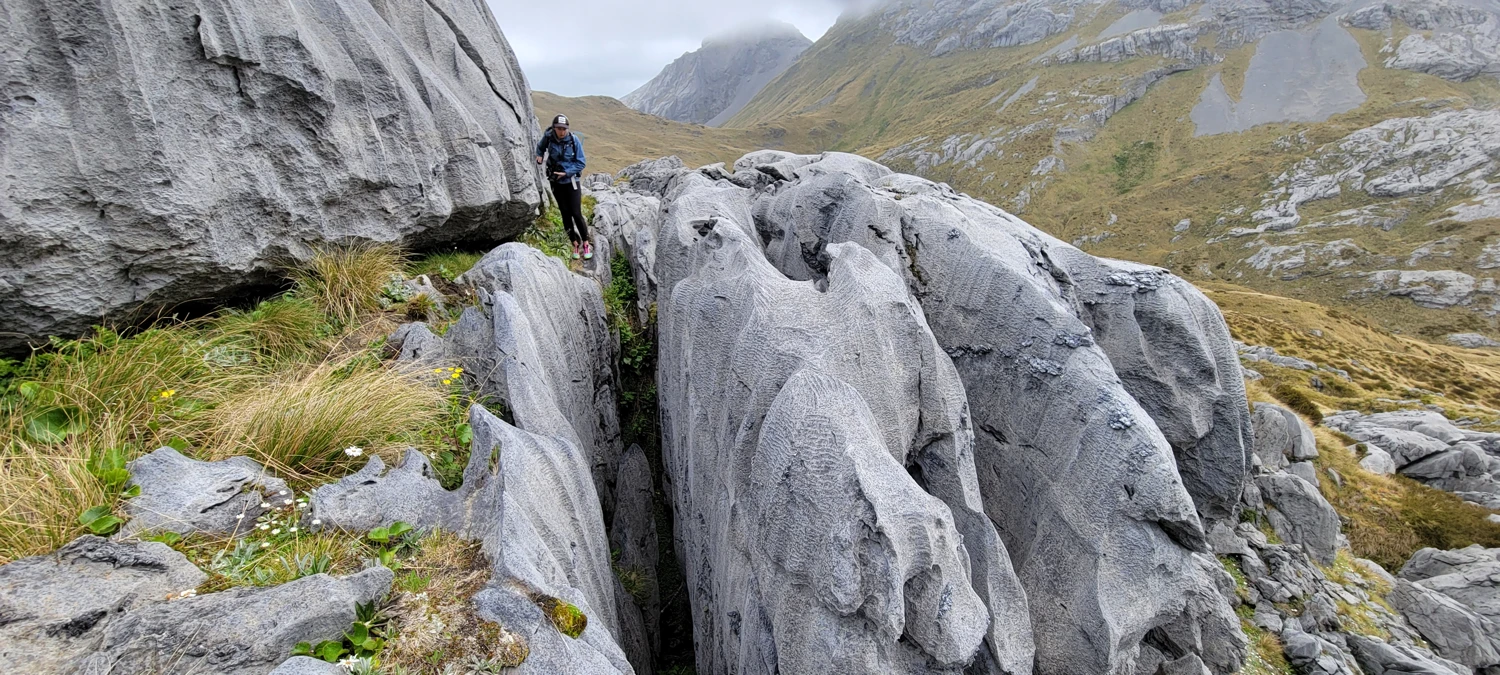
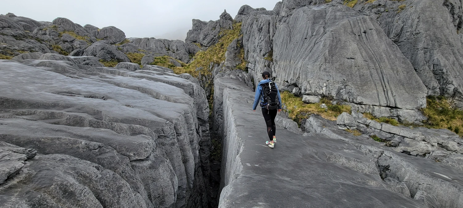
Beyond the crevasses, the route turns back into a straightforward grind. There is more steep hiking, and the summit cone is covered in scree. It is not elegant, but it gets the job done. A large cairn marks the top. Somewhere up there is the filming location for a Lord of the Rings scene, but we had too much fog to make anything out properly. That felt fitting somehow. Mount Owen gave us the strange terrain, the long effort, and the summit, but not the dramatic cinematic payoff.
From the car to the summit, we were about nine hours of hiking in total.
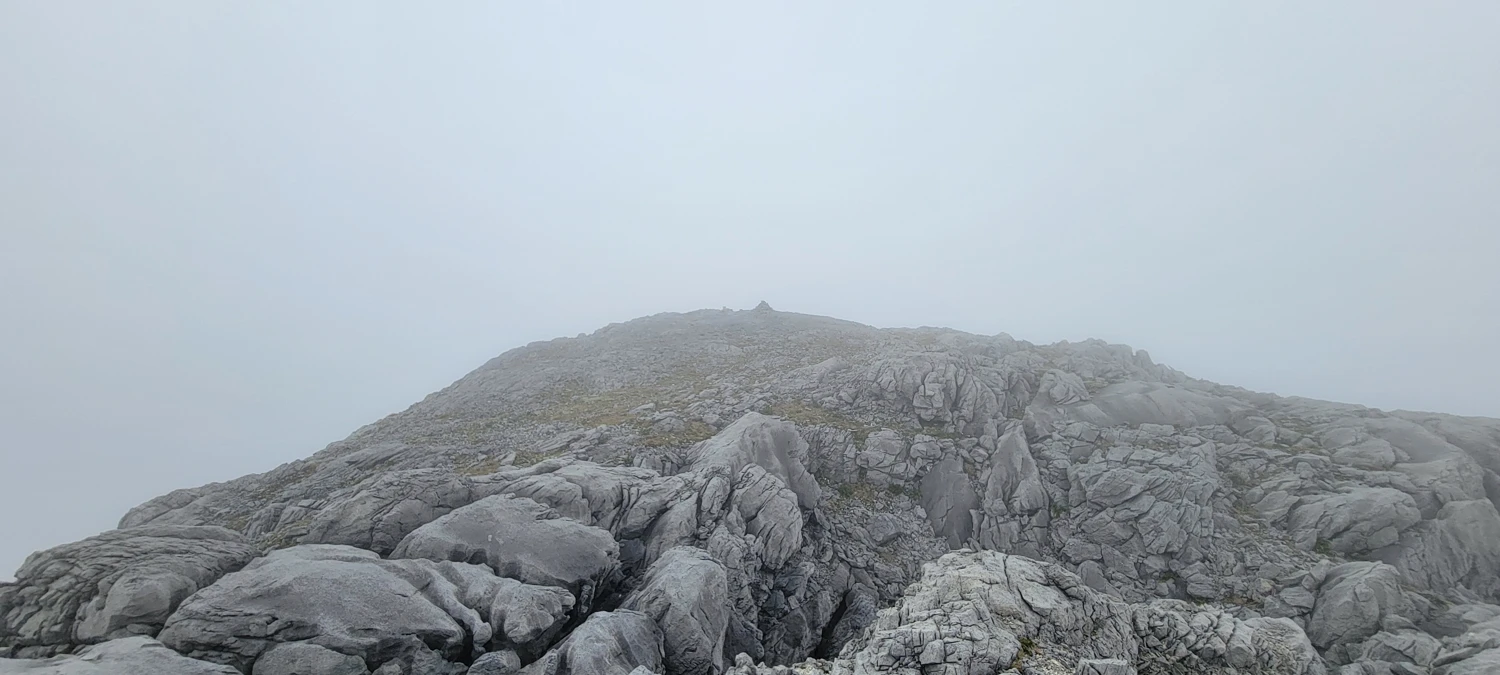
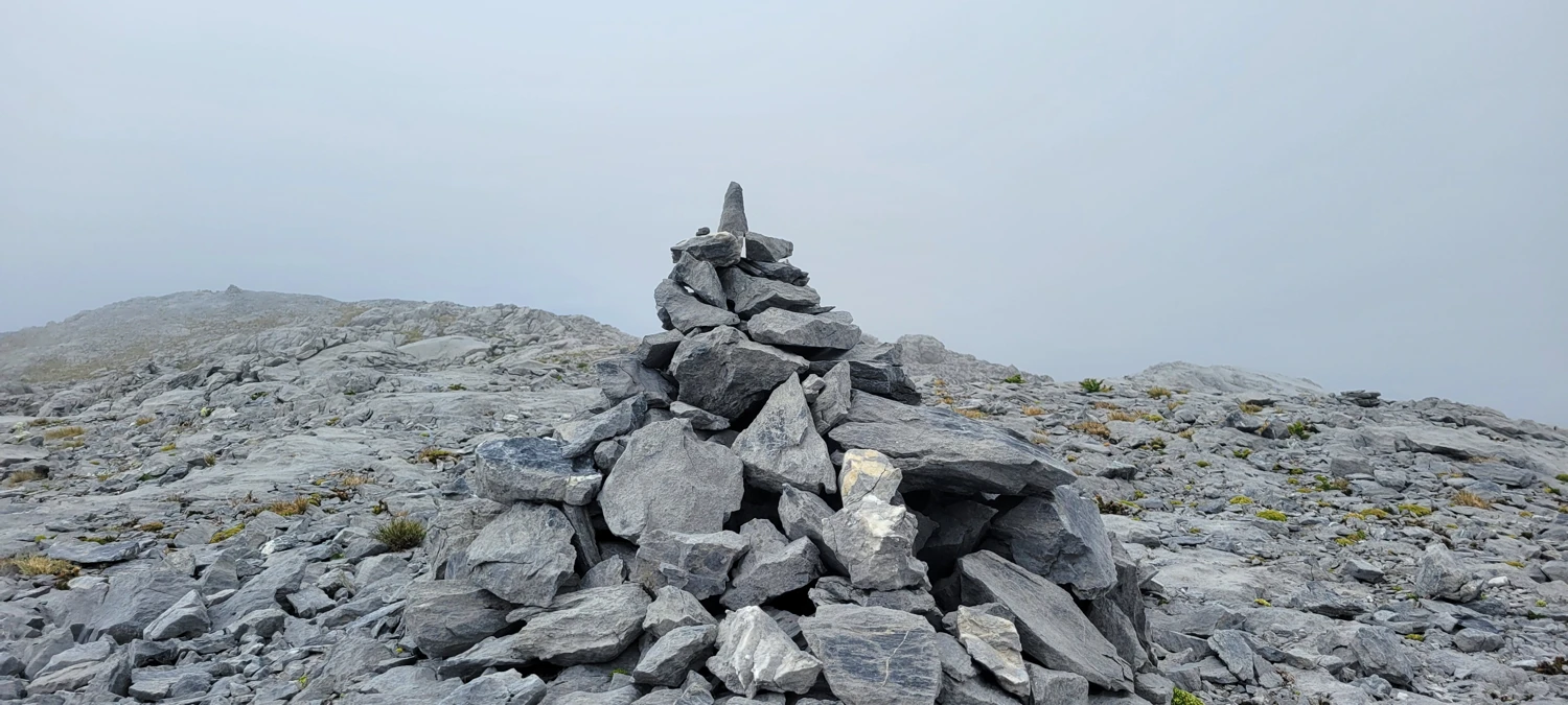
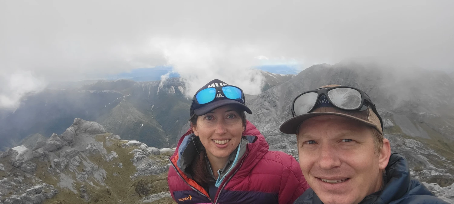
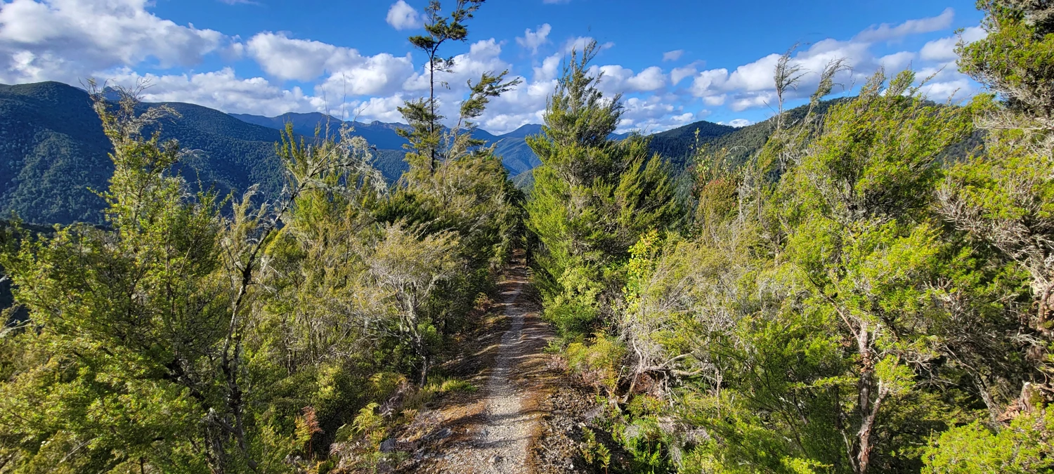
After some time on top, we headed back down to Granity Pass Hut, took a short break in the sun, packed up our gear, and started the descent. At the trail junction we chose the Mount Owen Track instead of returning via Blue Creek. That was absolutely the right call. It is more developed, has an actual dirt path most of the way, and feels much more efficient when your legs are already a bit cooked.