My climb of the Phipps Temple Traverse began as an attempt to make a speedy ascent of Mount Cook. However, despite an almost perfect weather window, I wound up hanging on to some very poor rock on Haast Ridge while a thunderstorm raged over my head. There were several lighting strikes within a close enough distance that I did not feel safe continuing up the ridge. Unfortunately, I did not think that any space on the Tasman Glacier was going to be safe either, so my best chance to get away from the storm was to walk back to Ball Hut.
Feeling thoroughly disappointed by my need to retreat, I decided to go for a much easier objective, the Phipps Temple Traverse in Arthur's Pass National Park.
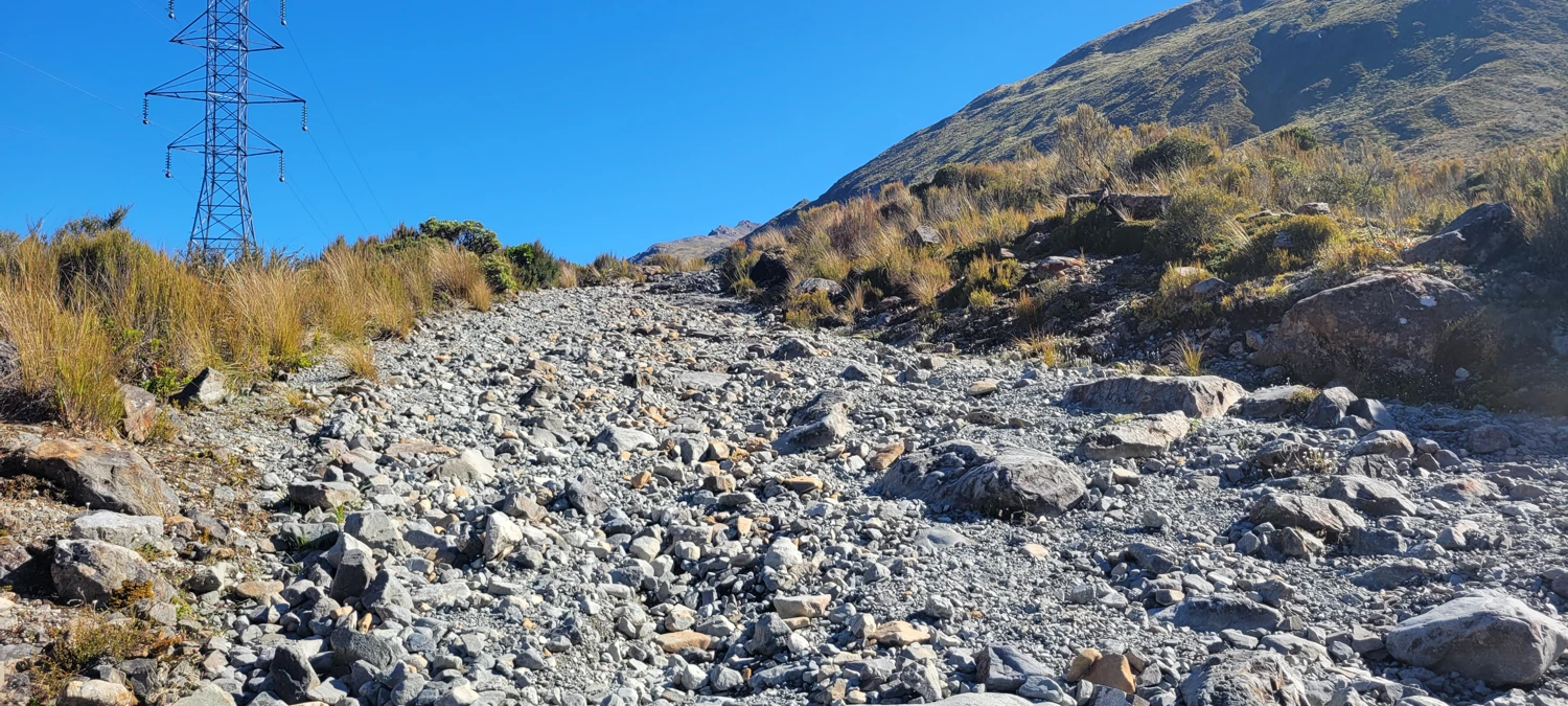
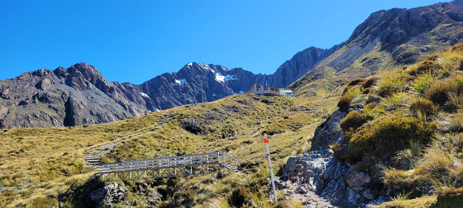
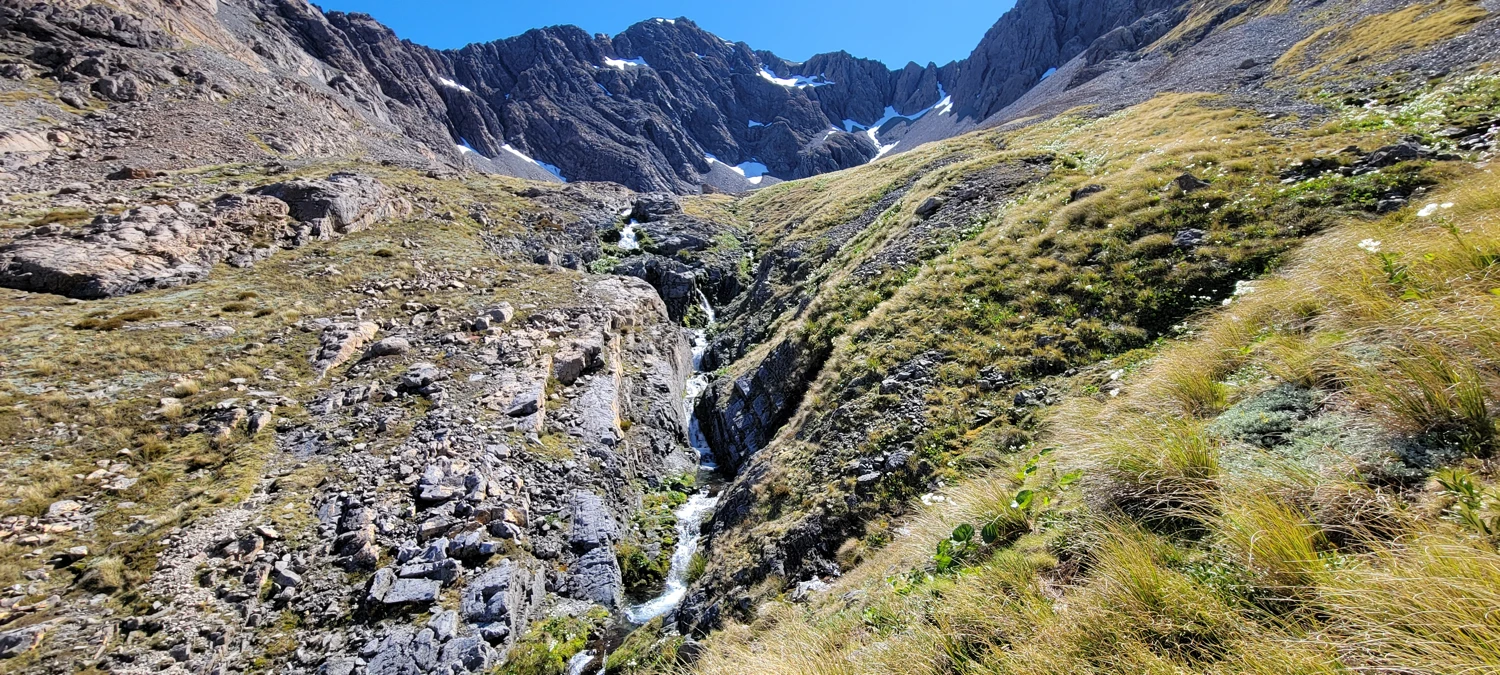
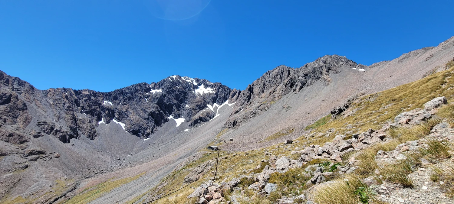
In summer, accessing the basin requires a walk up a rough road and then a small stretch of trail to the Temple Basin Ski Field. From the ski field buildings, I worked my way across the basin to the bottom of a large scree field to begin my ascent up to the west ridge of Mount Phipps.
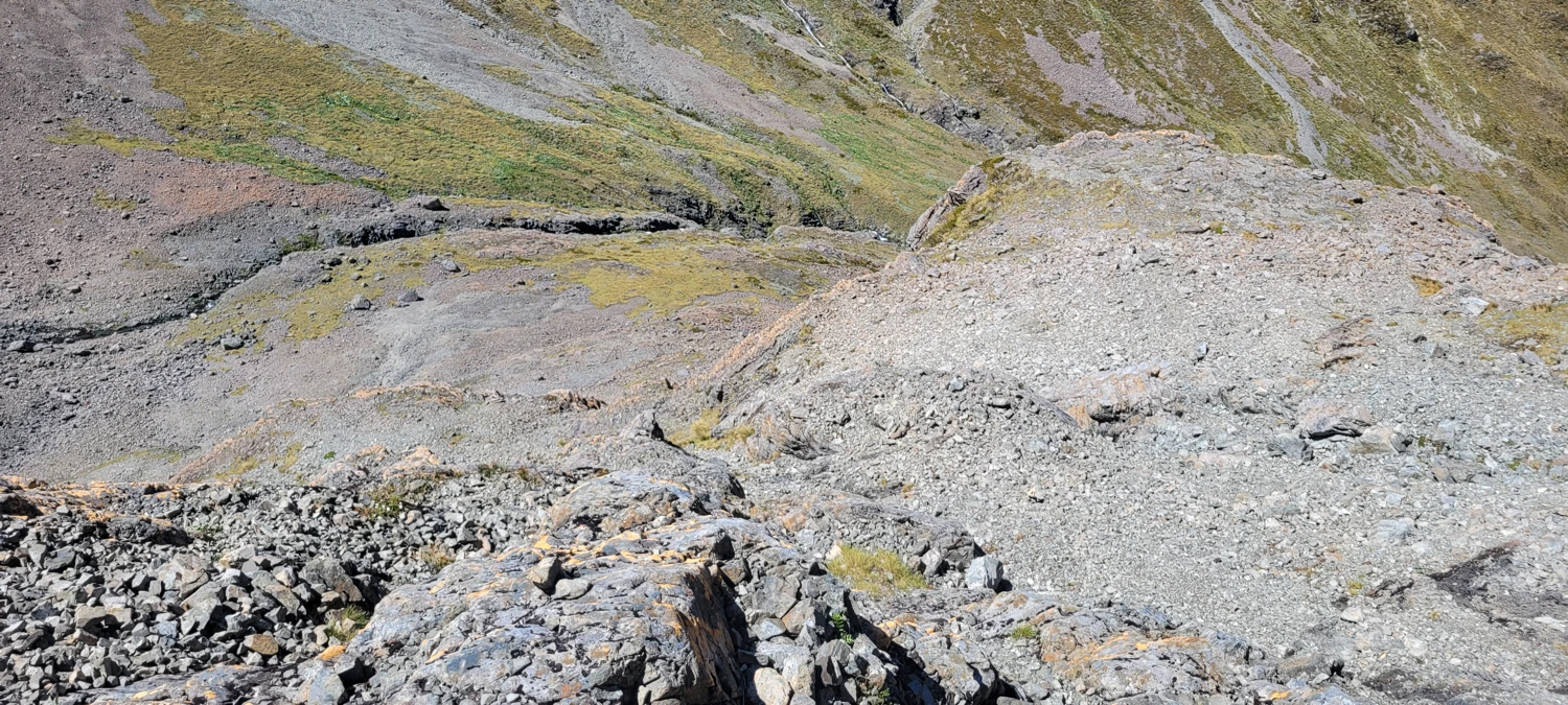
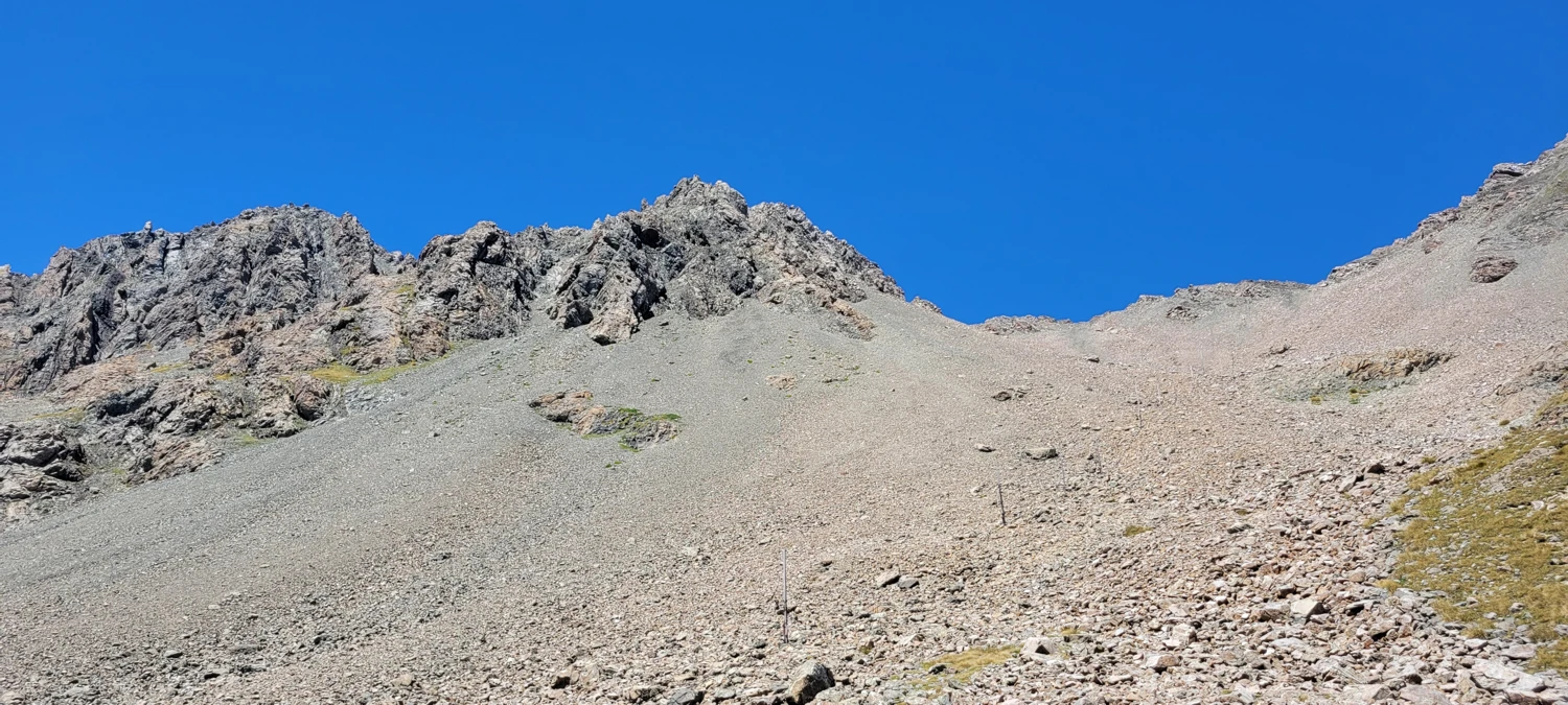
Despite this section being covered in small scree with sand underneath (hooray, backsliding!) I made the ascent to the top of the ridge in just about an hour. From here, it was time to follow the rocky ridge to the top of Mount Phipps.
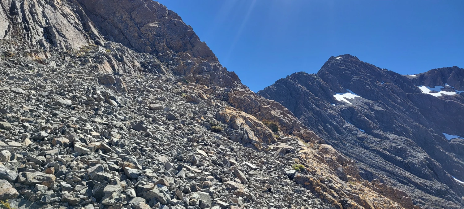
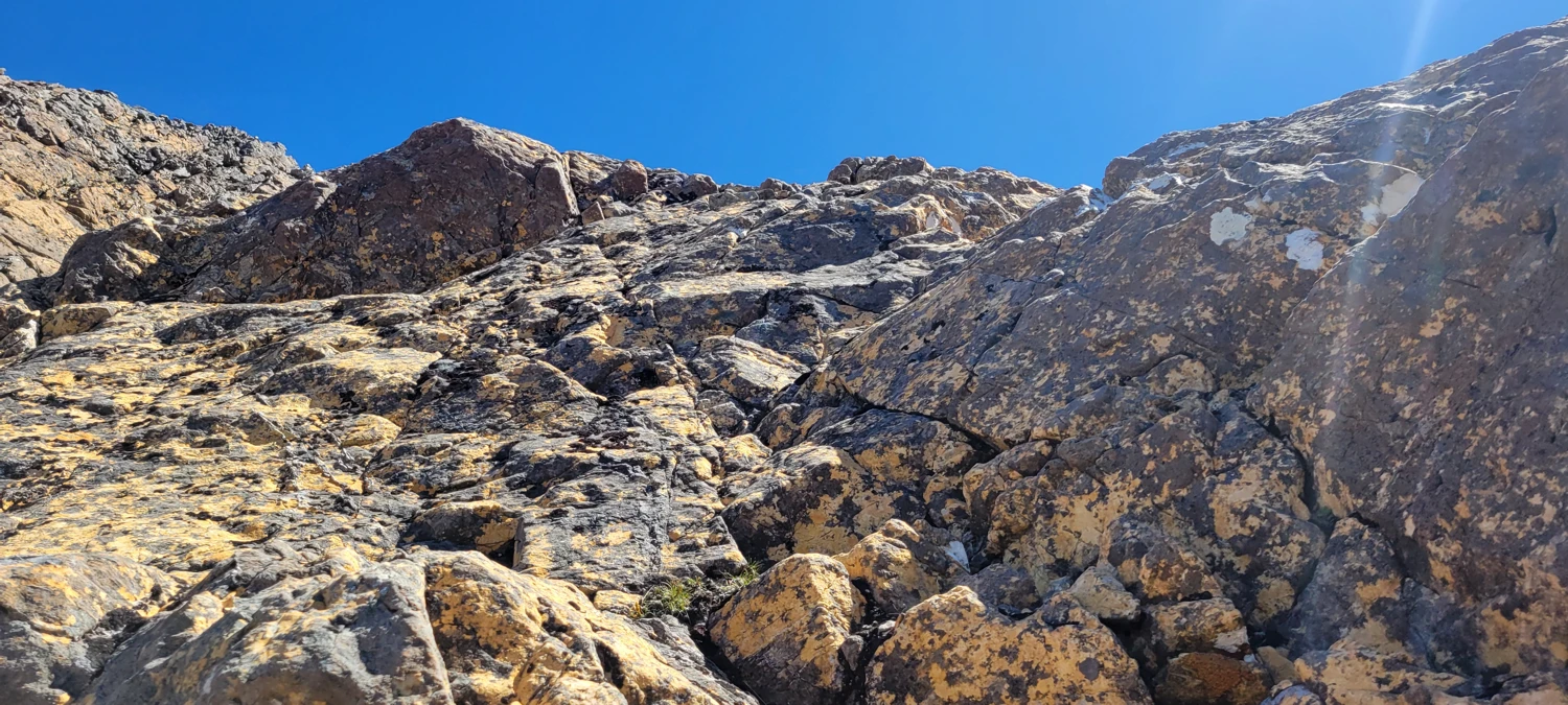
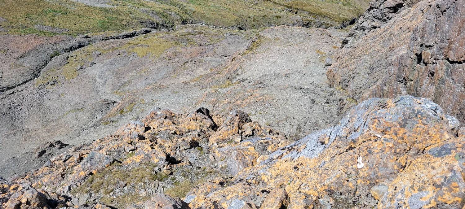
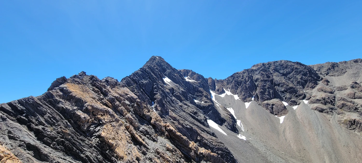
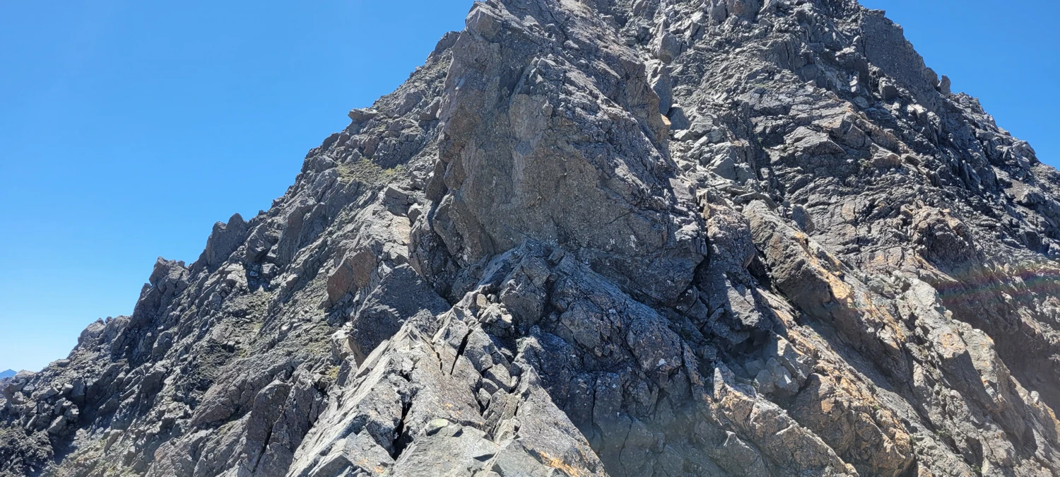
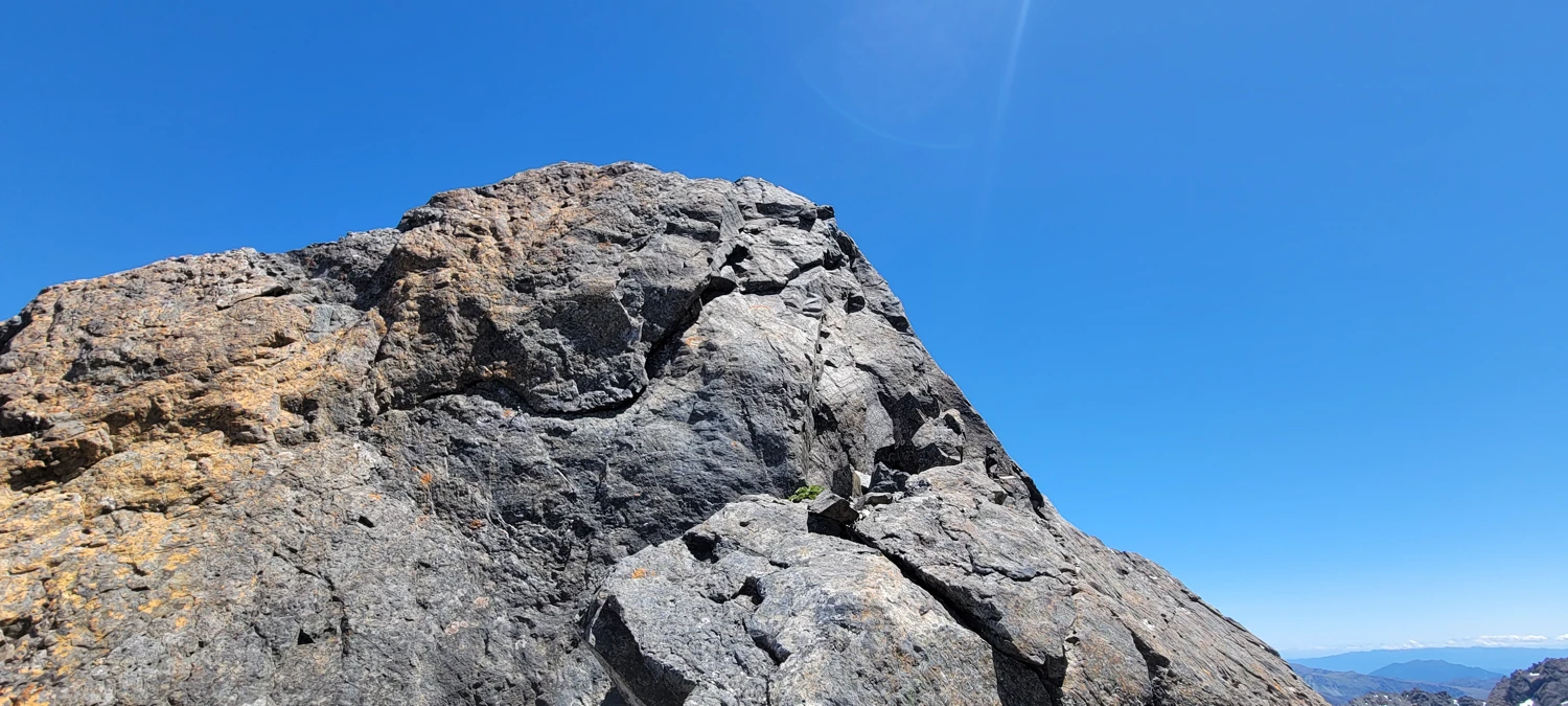
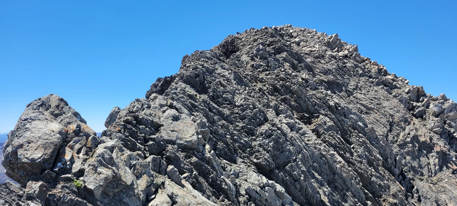
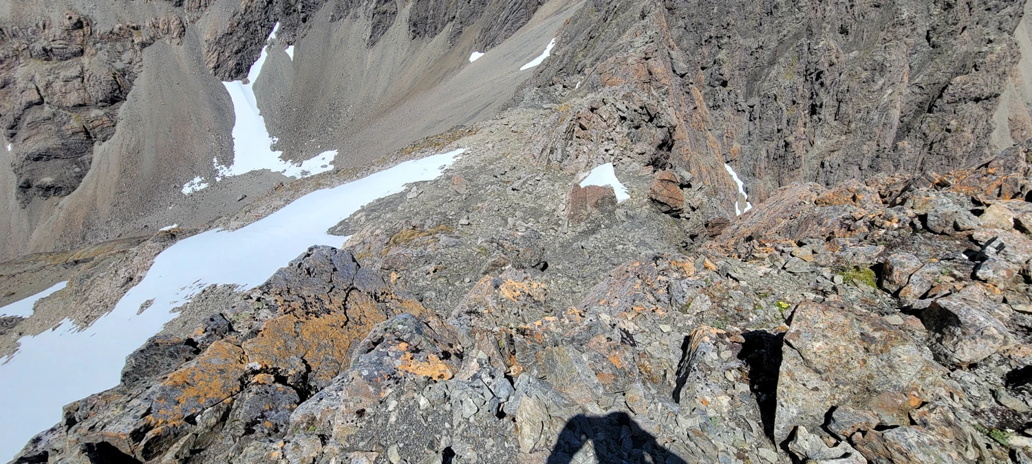
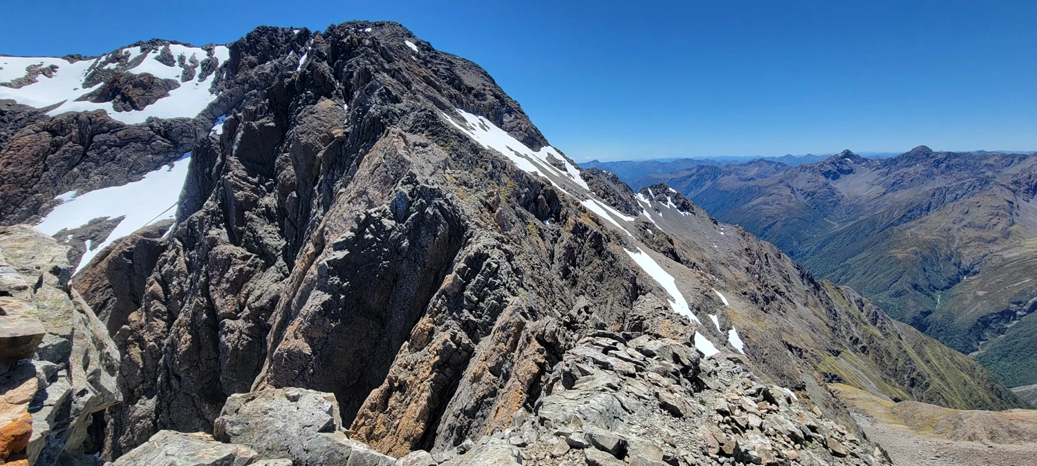
The lower section of the west ridge on Mount Phipps is mostly easy boulders to navigate, but as I was climbing up, the ridge narrowed, and there were some interesting sections of ledges and rock outcroppings to navigate around. Most of them were easy to skirt around or climb over the top of. There was one significant rock step along the lower section of the ridge that people had been abseiling off of (slings on an anchor point). So, while some may want a rope to get around this section, I could carefully down climb it with two or three moves.
The exposure below this step was pretty considerable, and a fall here would most likely be either crippling or fatal. So keep that in mind when selecting your gear for the outing.
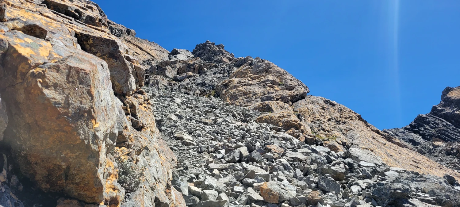
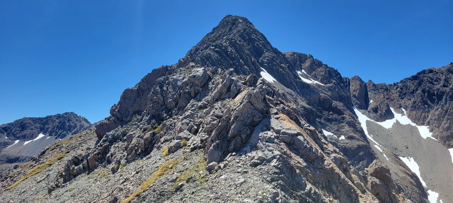
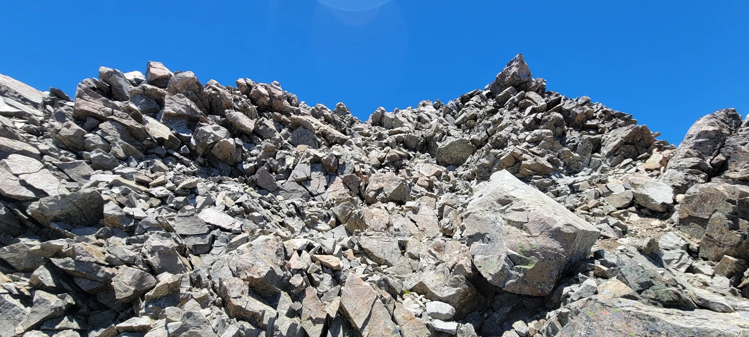
From the rock step, the ridge rises steeply for around 100-150 meters before leveling out on the main summit ridge. I moved through this section quickly since the ground was strewn with large boulders. However, the rock was loose, and I did send a few stones careening down the hill without much effort. So, if you are climbing in a group, it would be advisable not to climb under each other.
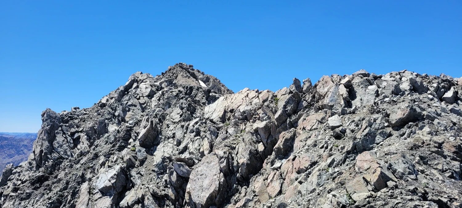
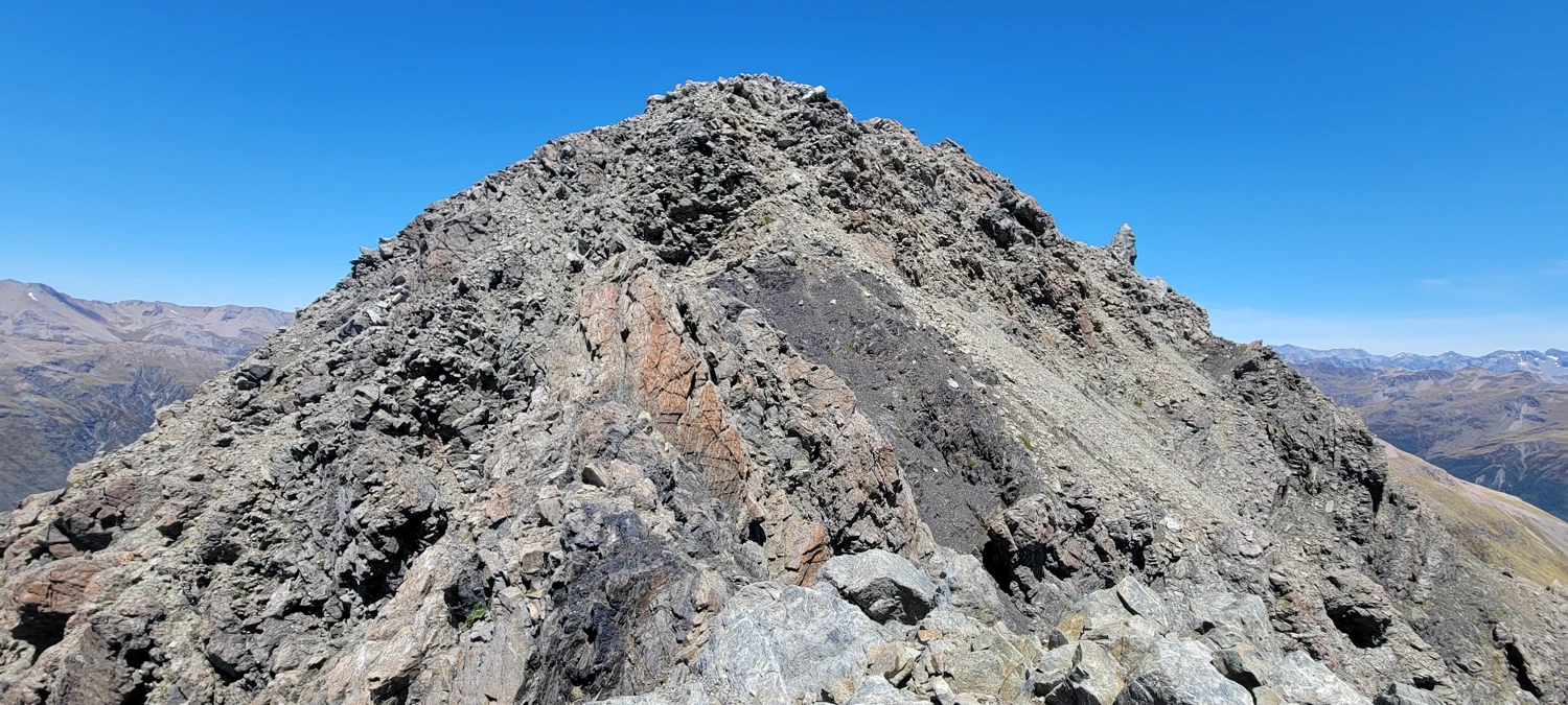
Once the summit ridge leveled back out, the summit appeared to be only a few steps away. However, the ridge to get there was longer than it seemed. After thinking back on the climb of Mount Phipps, it might be an optical illusion because all the rocks are the same color, making it hard to discern the ridge and summit.
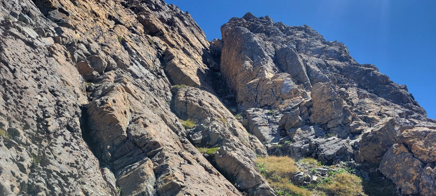
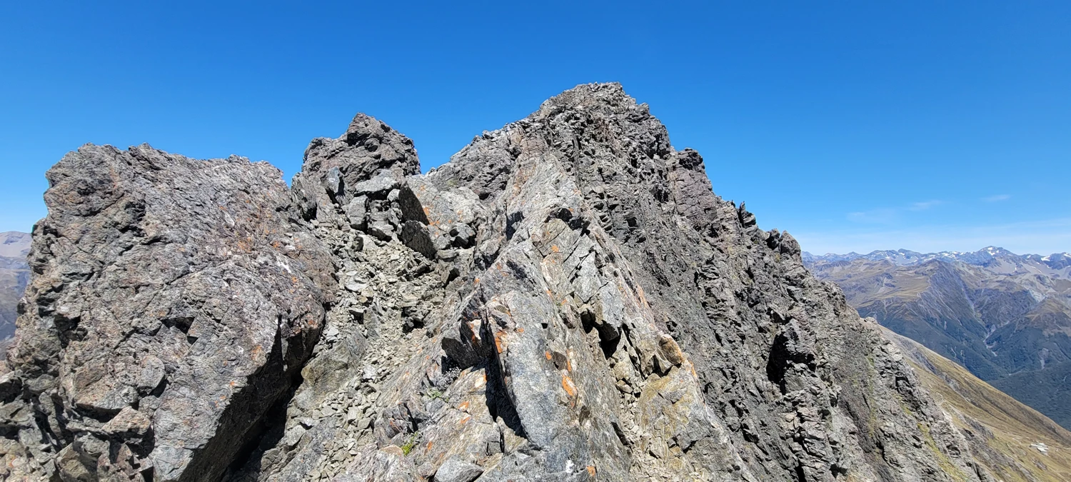
Between here and the actual summit, I encountered a few more small rock steps that required careful climbing, but at no point did I feel a rope was necessary. There were a few spots where others might disagree with my assessment.
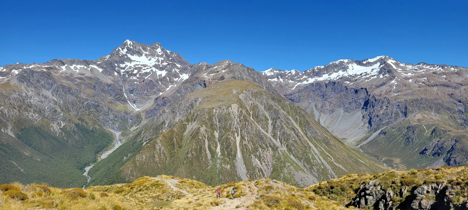
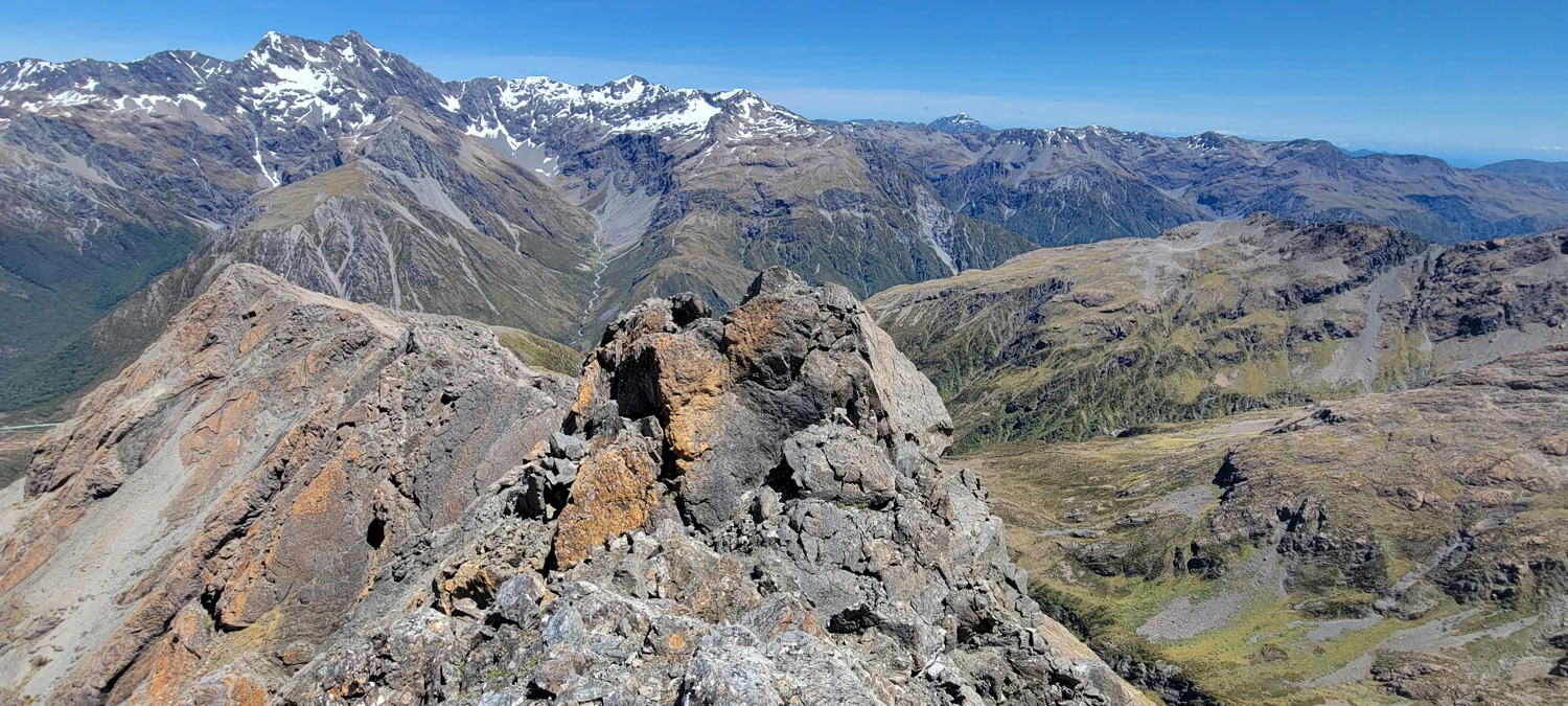
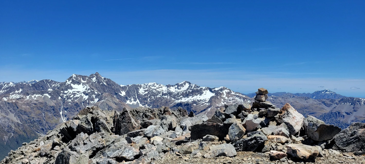
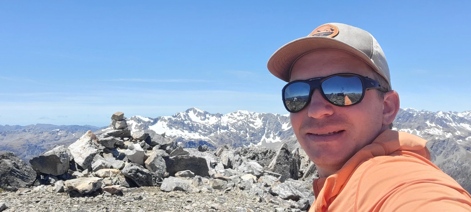
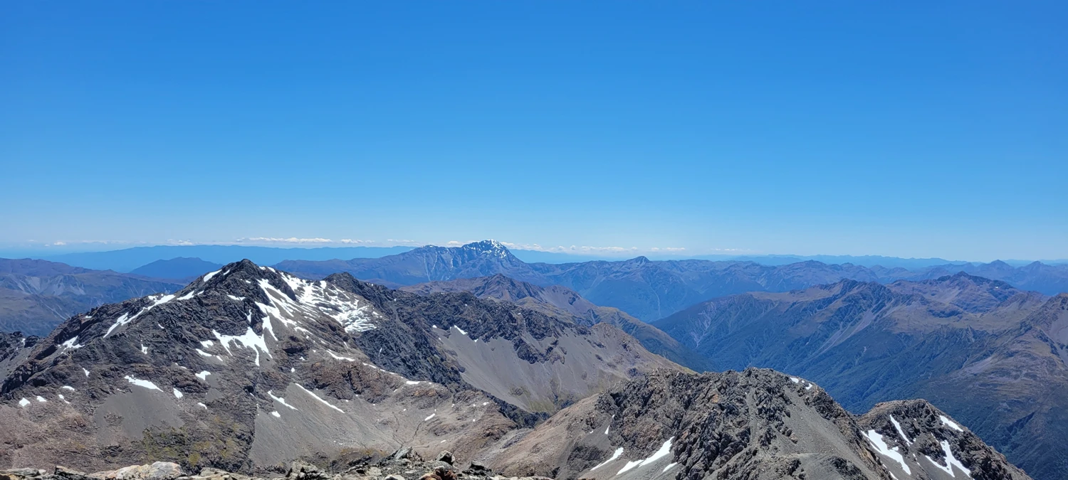
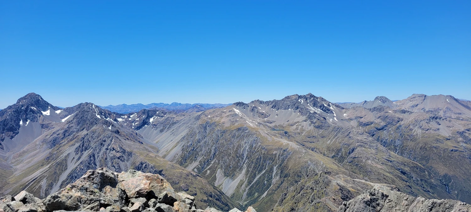
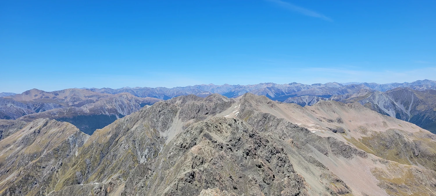
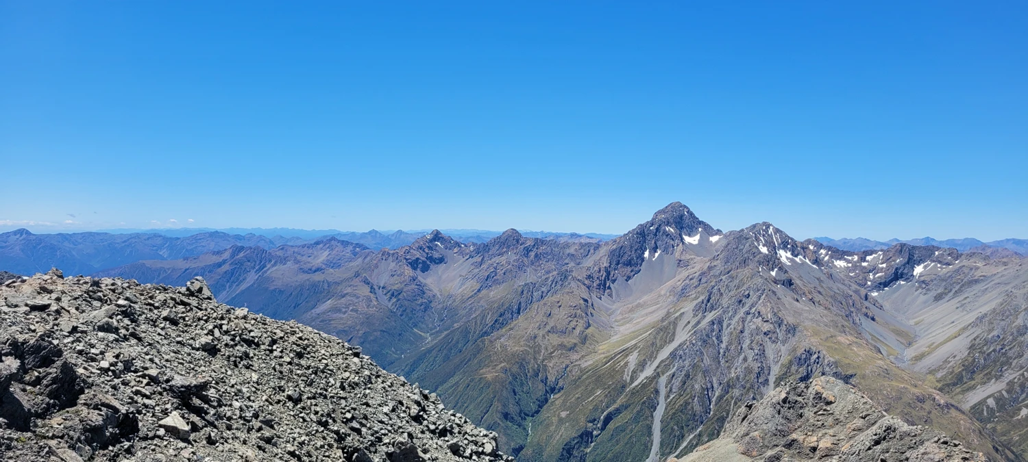
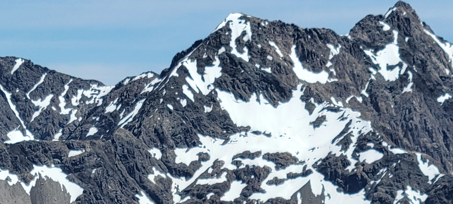
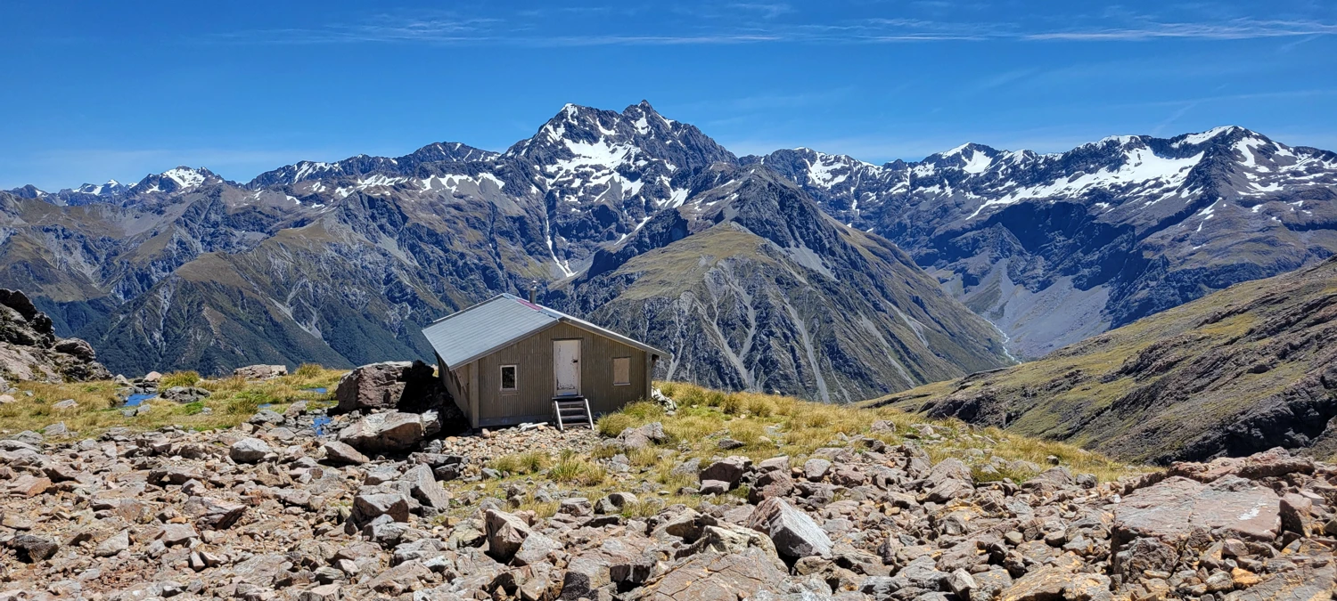
The summit of Phipps has an incredible view of the surrounding peaks, including the great Mount Rolleston. After a quick snack and a rest, I headed down the south ridge to traverse over to Mount Temple.
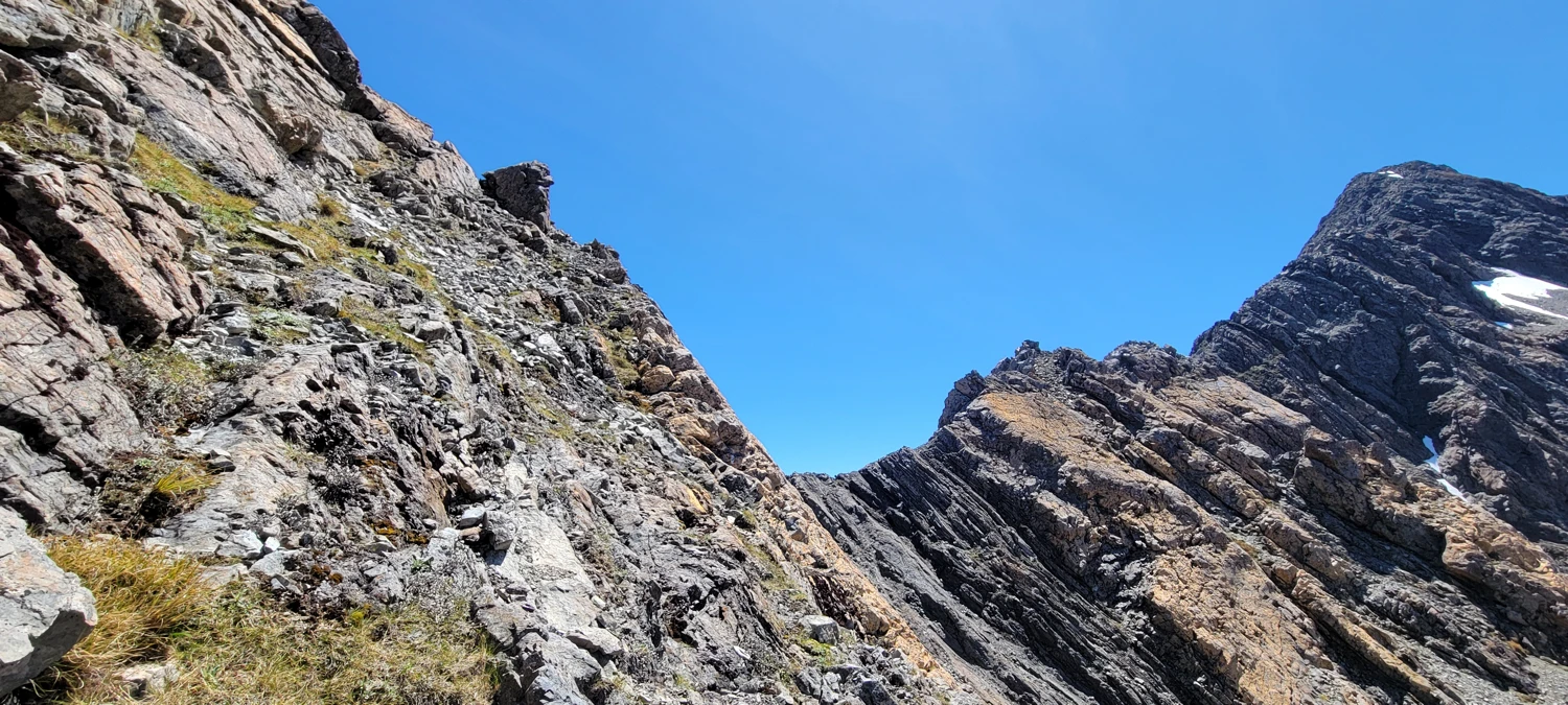
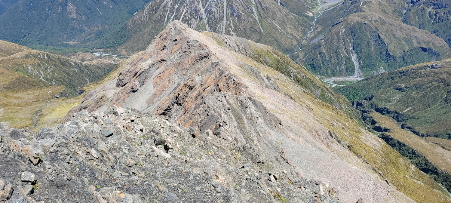
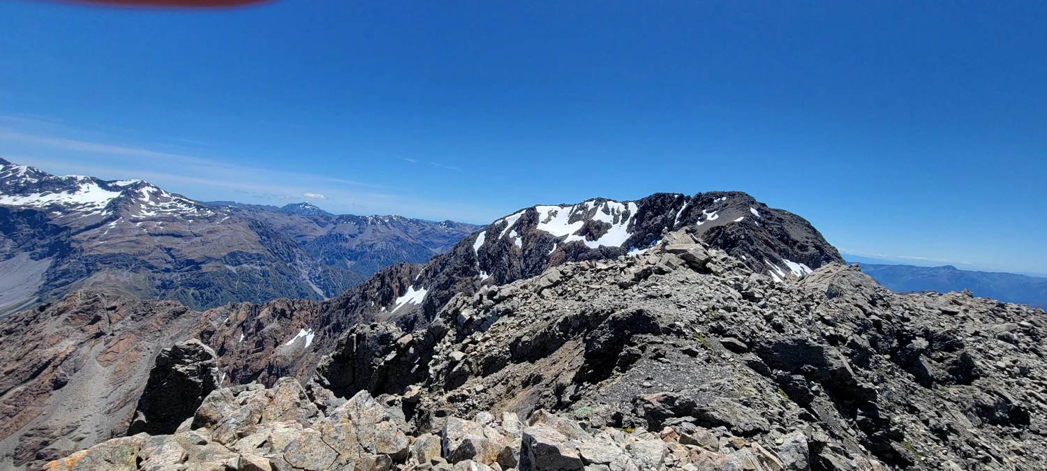
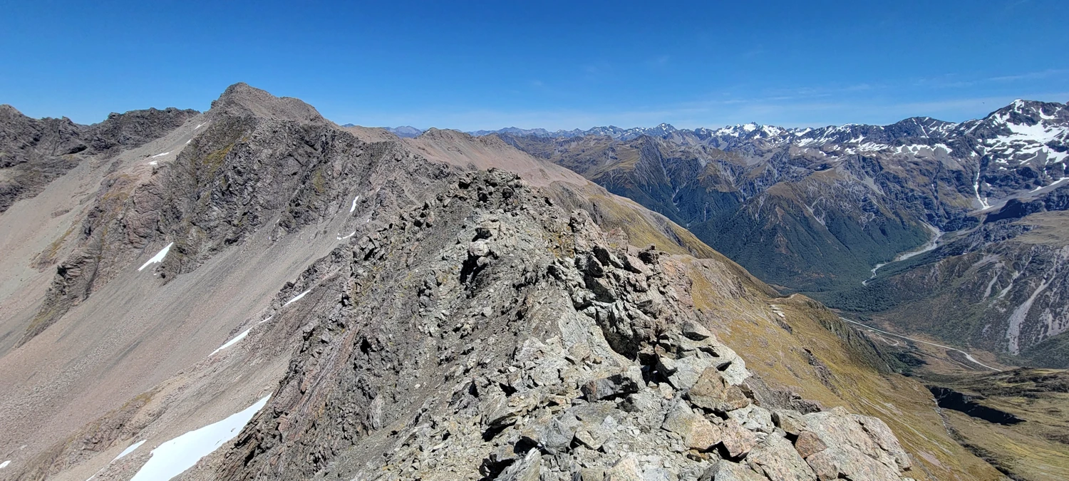
The beginning of the ridge traverse between Phipps and Temple is an easy walk. But it quickly progresses to a proper scramble with some very exposed sections. In multiple places, others before me had left behind rappel anchors. Since I was alone and without a rope, I took on all these more challenging sections without any protection.
The ridge that traverses Phipps and Temple is far shorter than I expected. So, while it was the most technical part of the day, it was over in 30-40 minutes.
As I approached Mount Temple's summit along its summit ridge, I was unable to figure out which of the 2-3 lumps on the ridge was the actual summit. However, the ridge leads directly over all of them, so I guess mission accomplished—except for the descent, of course.
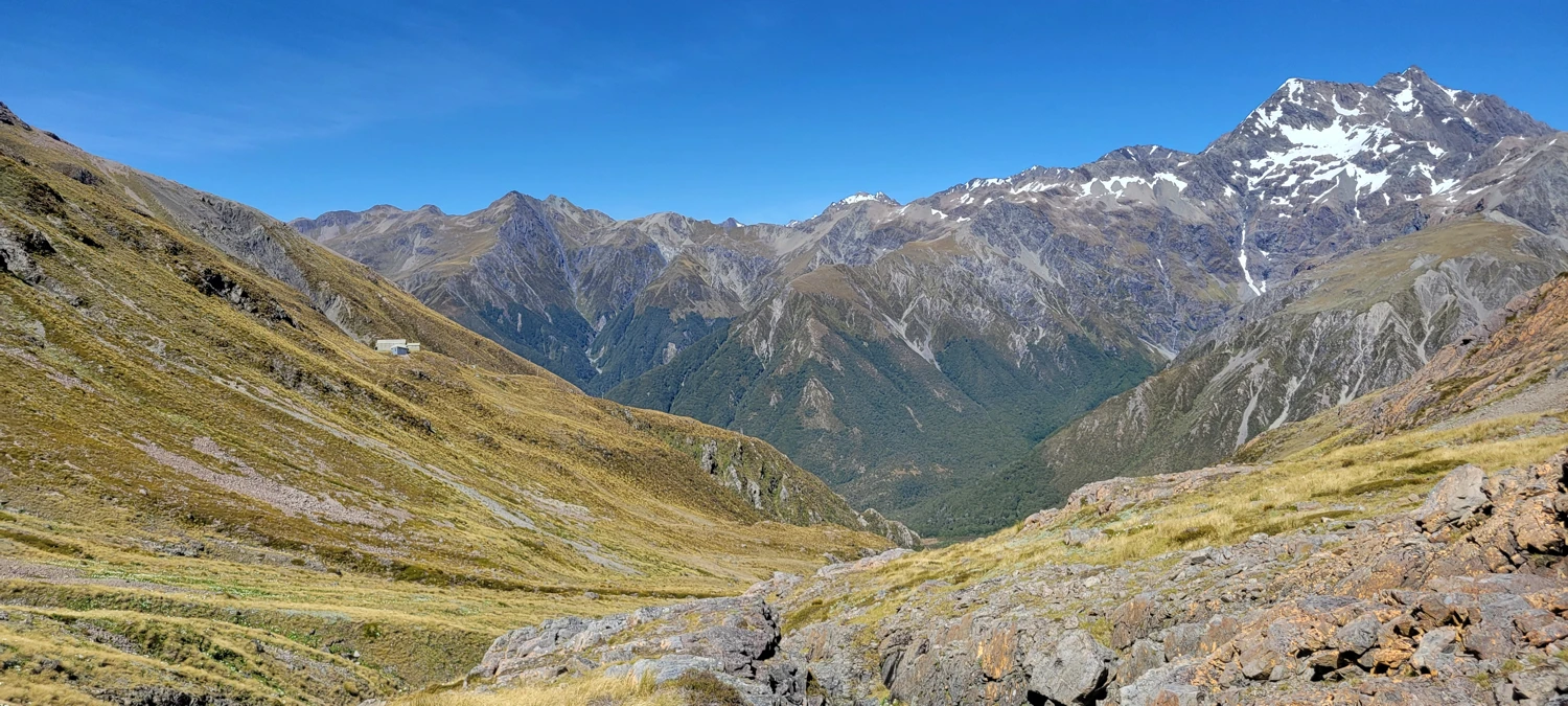
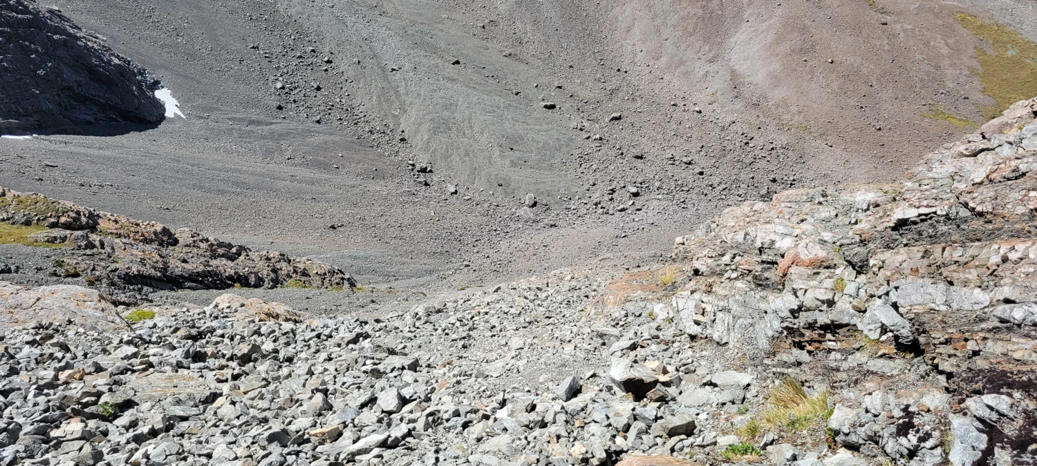
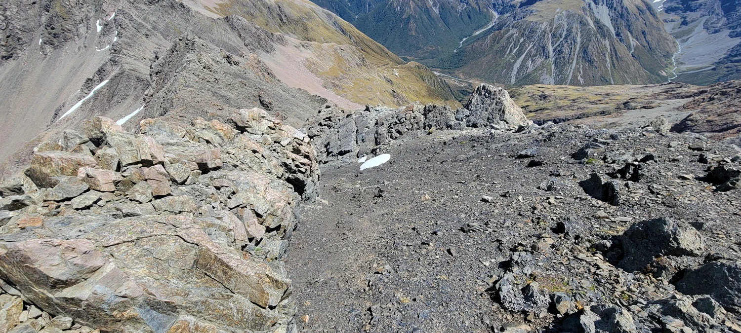
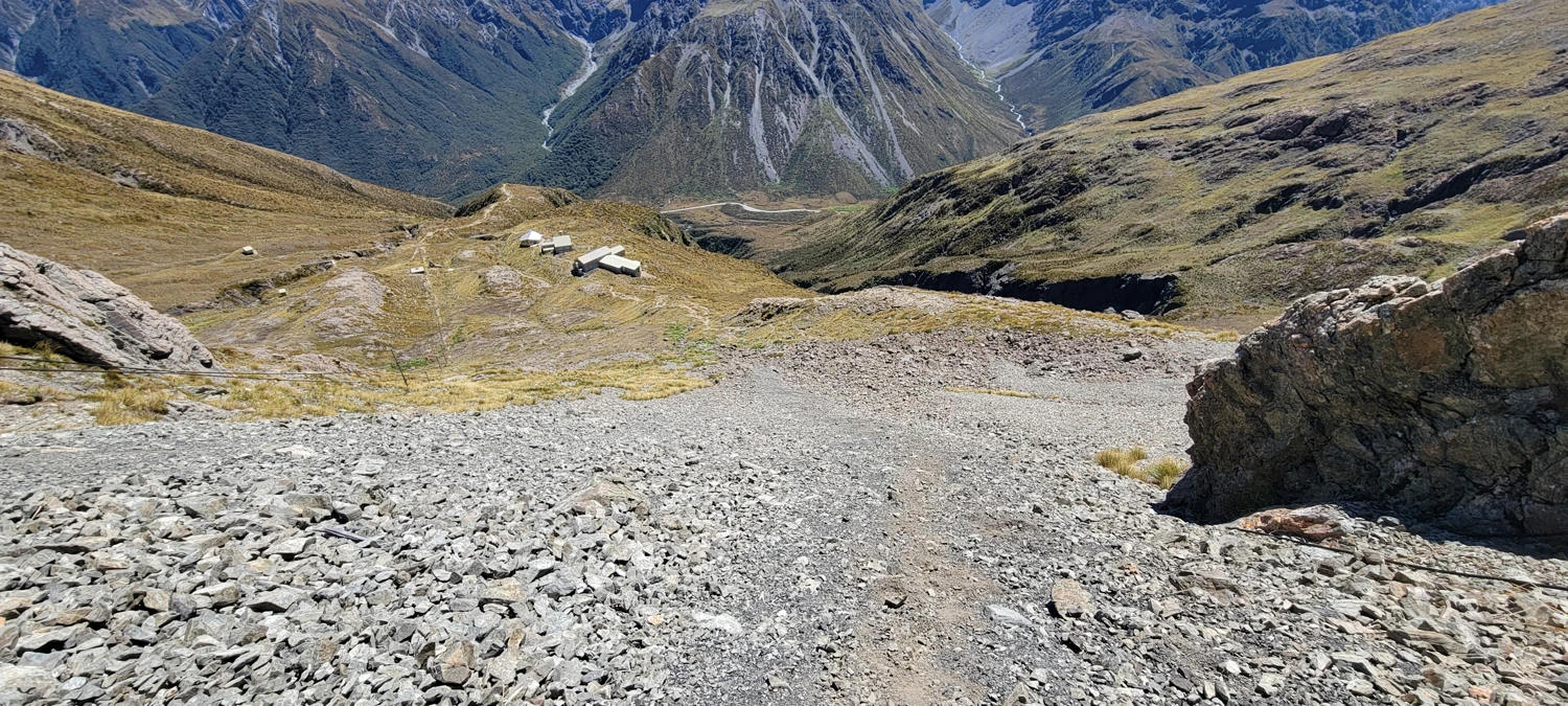
The descent was a pain in the behind. Leading off Mount Temple's summit, some cairns initially seemed to be pointing the way. But after 10 minutes, there ceased to be cairns, leaving me to puzzle out my way down into the basin. If you follow my track the route i used is usable, obviously since i got down, but something tells me that there must be an easier way. Either way, getting back into the basin will require working down a scree slope, which was easily the most annoying part of this climb.
For those seeking an easier summit in thee area with similar views, I would highly suggeest taking a walk up nearby Avalanche Peak


