2022 was just one of those years. It gave me some wonderful things. I can’t thank the year enough for my partner TrailCutter and all of our adventures so far. I finally got my freedom and independence back after the COVID lockdowns forced me into a destitute situation. But somehow it still felt like a year I couldn’t wait to say goodbye to. There were still a lot of failures, shortcomings and unresolved issues. Maybe that is every year. Maybe we all just idealize the ones that have enough good times.
Either way, after visiting my sister in southern Oregon for the Christmas holiday TrailCutter and I had planned on making a run at the summit of Mount Saint Helens via the Worm Flows Route. Weather was perfect. Timing for the route was superb. But, unfortunately, TrailCutter came down with an illness that was most likely passed along by one of my nieces or nephews.
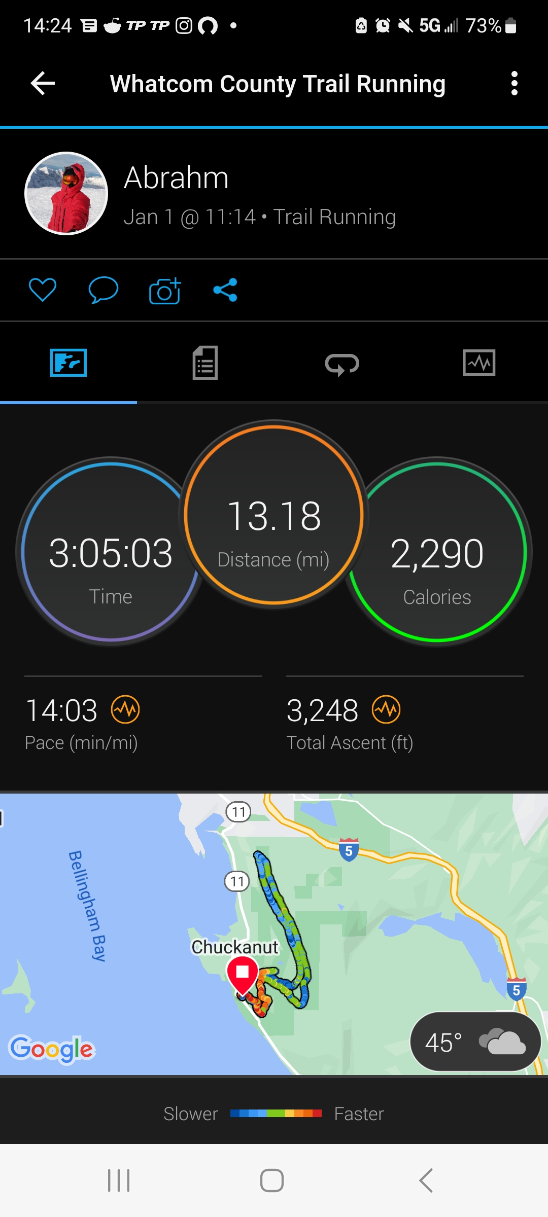
Instead we drove home on New Year’s weekend. Since I was still healthy I decided I would do something outside to celebrate the coming of 2023, and after much debate with myself I decided on a trail run in the Chuckanut mountains to lost lake.
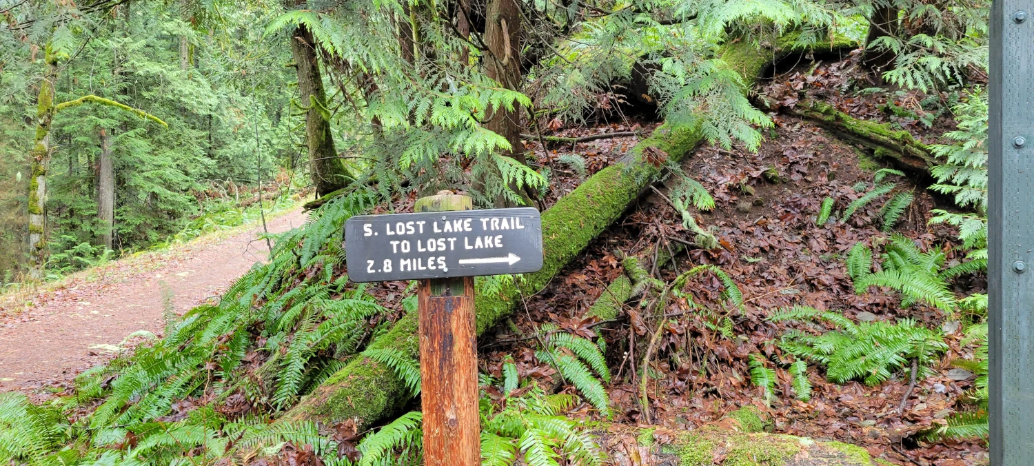
The first section of trail is all uphill so the day began with a fast walk up a gravel road. Without a pack on and in running shoes it was a brief walk up to the trail junction for Fragrance Lake road and the South Lost Lake trail junction. When I arrived here I knew my original intention was to take a right and head for the lake. But after looking at my Gaia map, I realized the ridge above me could be a fun run on a foggy day. So instead of heading right I took a left and headed uphill.
The trail up to the Ridge Trail is steep. So much so that keeping my heart rate in a defined training zone felt like a chore. I would lightly jog, then walk, then stop just to stay in the range I wanted to be in. By the time I reached the ridge proper I was really looking forward to actually letting my legs get going.

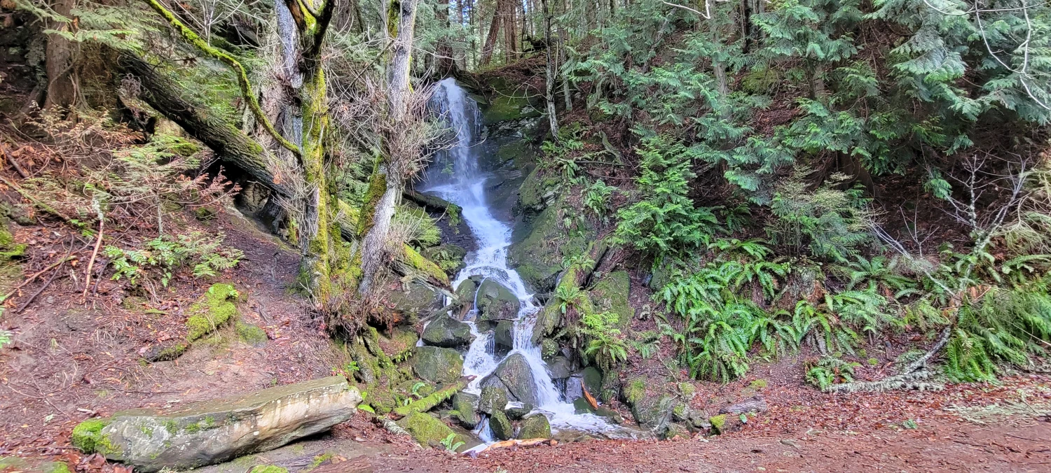
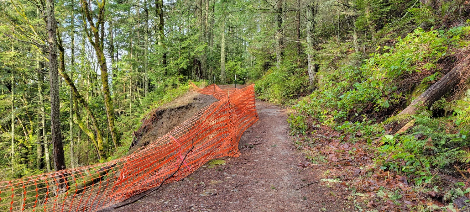
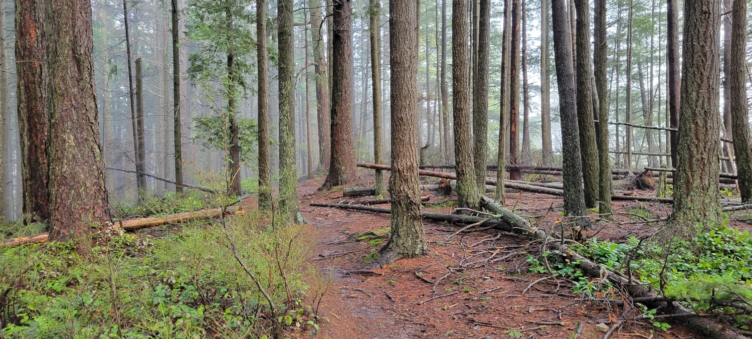
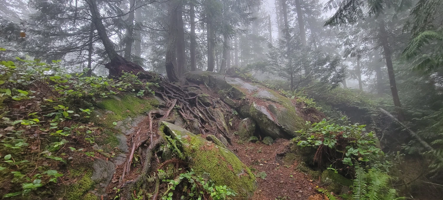
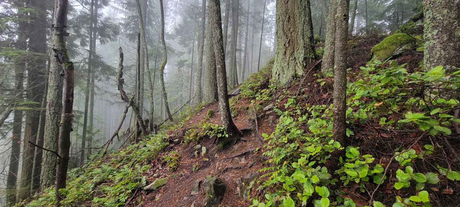
The ridge trail was definitely the best part of the run for the day. It rolls up and down, is covered in roots, has slopes that are made of rock and was plastered with blow-downs. I will admit I hate running but ever since TrailCutter introduced me to running a trail it has grown on me. The more technical the more distracting it is. The challenge feels like a low level meditation. The ridge trail above Lost Lake was one of my favorite runs so far. I didn’t even feel like I was running anymore. If you are looking for an easy day out, run somewhere else. If you want an easily accessible challenge, this ridge is probably for you.


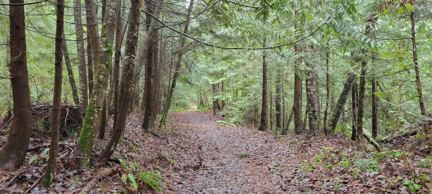
After a couple of miles the ridge does end and heads down toward the North Lost Lake trail. The next couple of miles heading toward the lake are a bit boring and monotonous. In fact until reaching the South Lost Lake trail again the run is a mostly flat jog through thick forest.
The trail passes Lost Lake high above the shore, then the trail rises quickly and wraps back around to the west side of the Chuckanut mountains. From here there is a well defined path to run as it leads back toward the road you started on.

When I reached the junction between the trail and the starting roadway, I realized I was just about 0.5 miles short of what could be a half marathon. The farthest I have ever run previously was exactly 13 miles. Mistakenly I thought that was a half marathon at the time and gave up once the GPS said I had gotten there. This time, I figured I could actually run one. So to make sure I got the full one I turned right and headed up the road toward Fragrance Lake determined to make it the full distance.
I managed to make it back to the trailhead after an (actual) half marathon, panting and excited. It is not often that you head to do a trail run for the day and end up starting off the year with your longest run ever. Here is to a 2023 that is filled with exceptionalism (hopefully…).