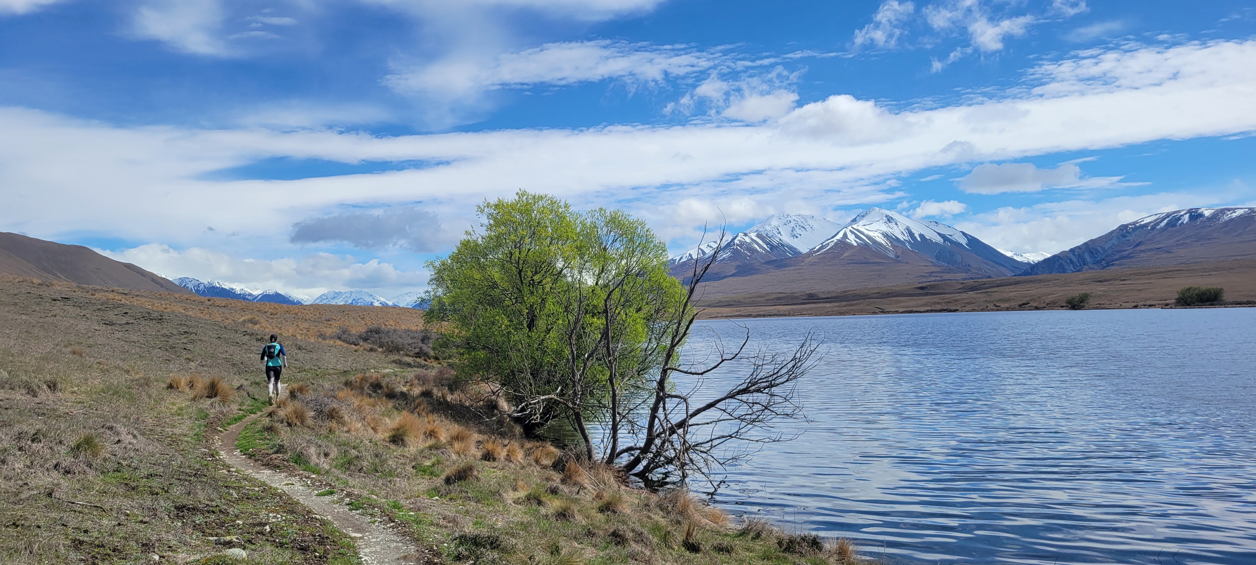
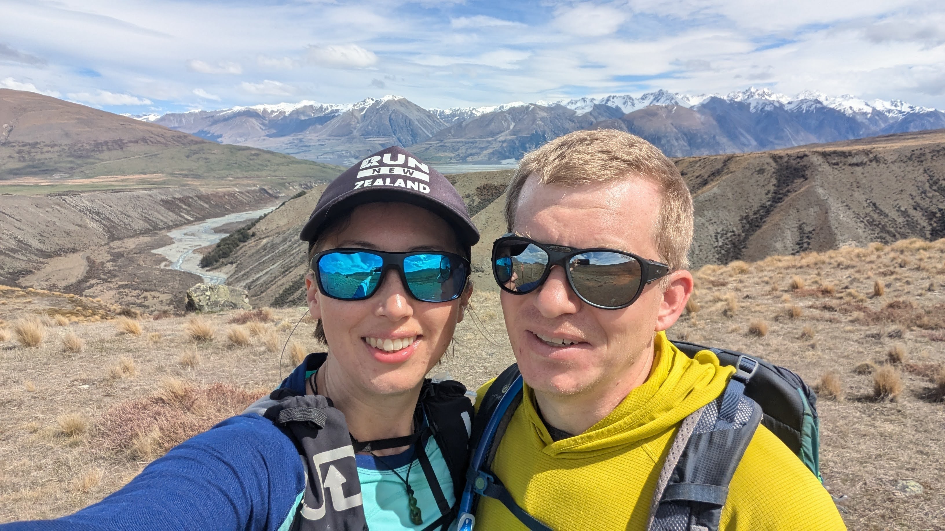
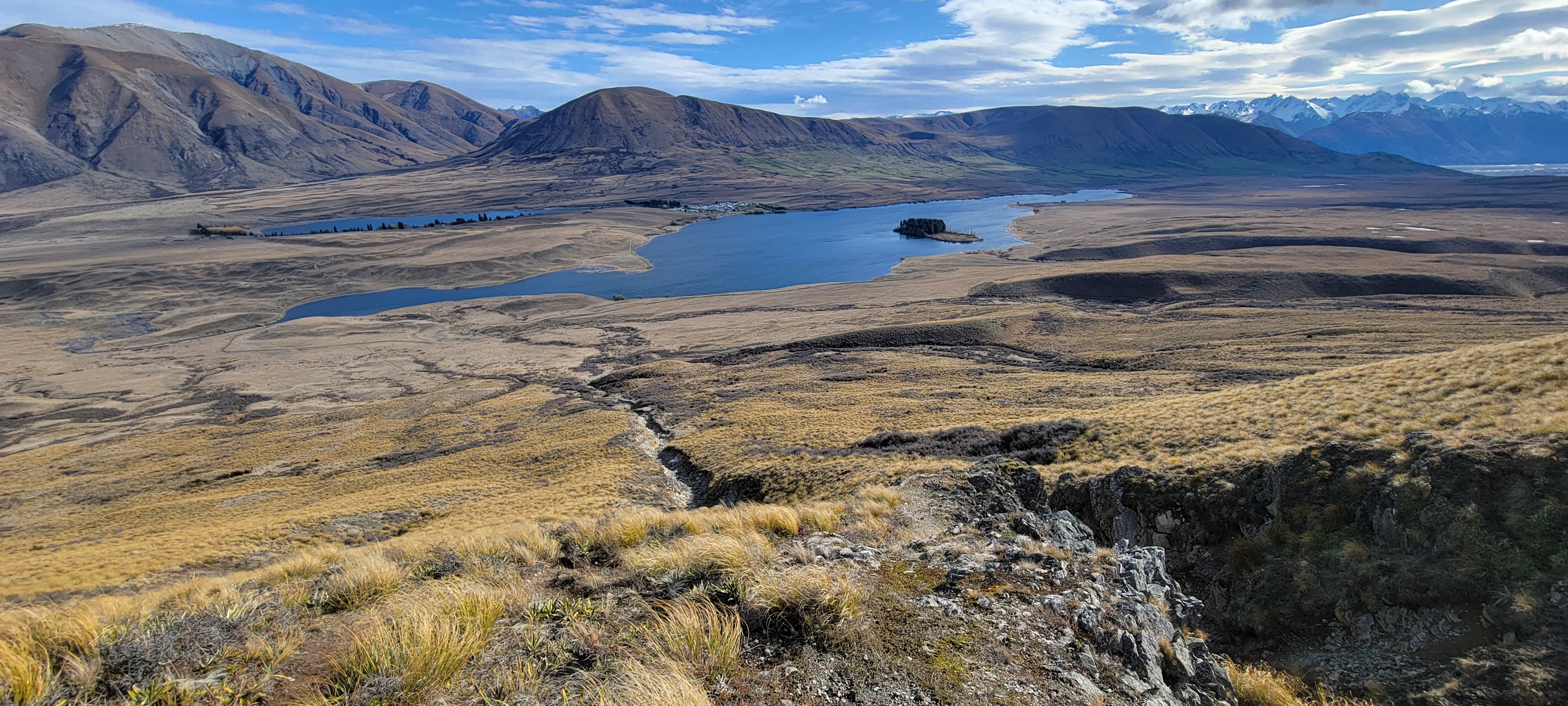
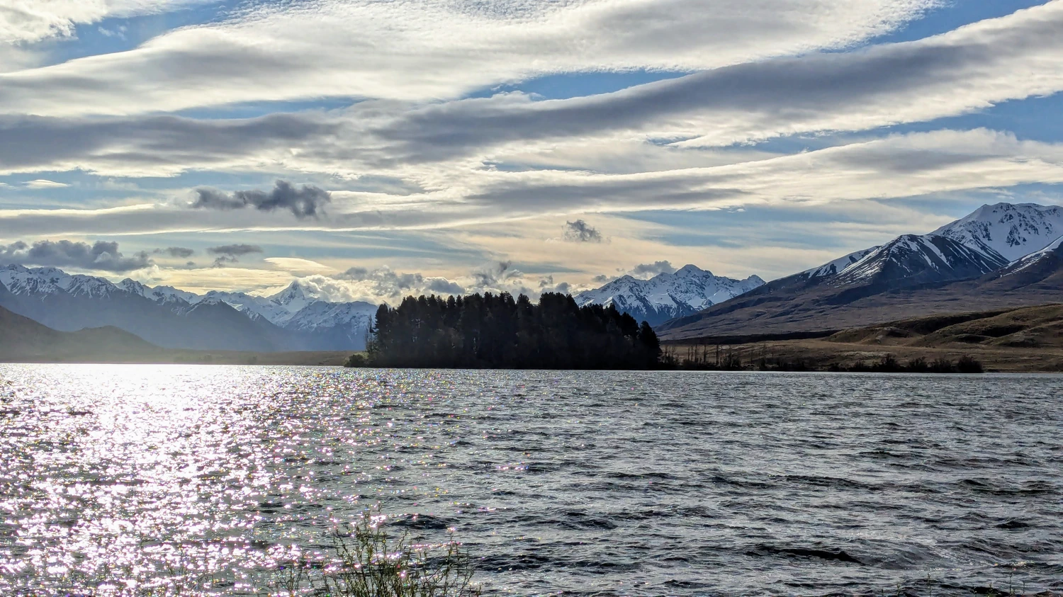
here was a time in life when I would have balked at even the thought of running 20K. Now, it is a weekly event. Since the weather here in New Zealand only sometimes seems to want to provide us with a solid weekend to go climbing, this week, Trailcutter convinced me to run a 27K loop near Clearwater Lake. As usual, I was apprehensive at first, but once she said that the loop included Mount Guy, I was ready to put my shoes on.
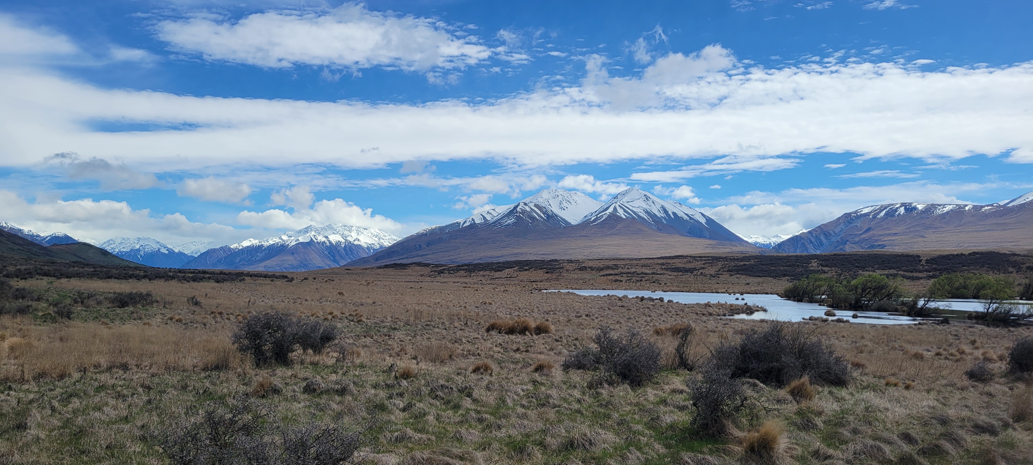
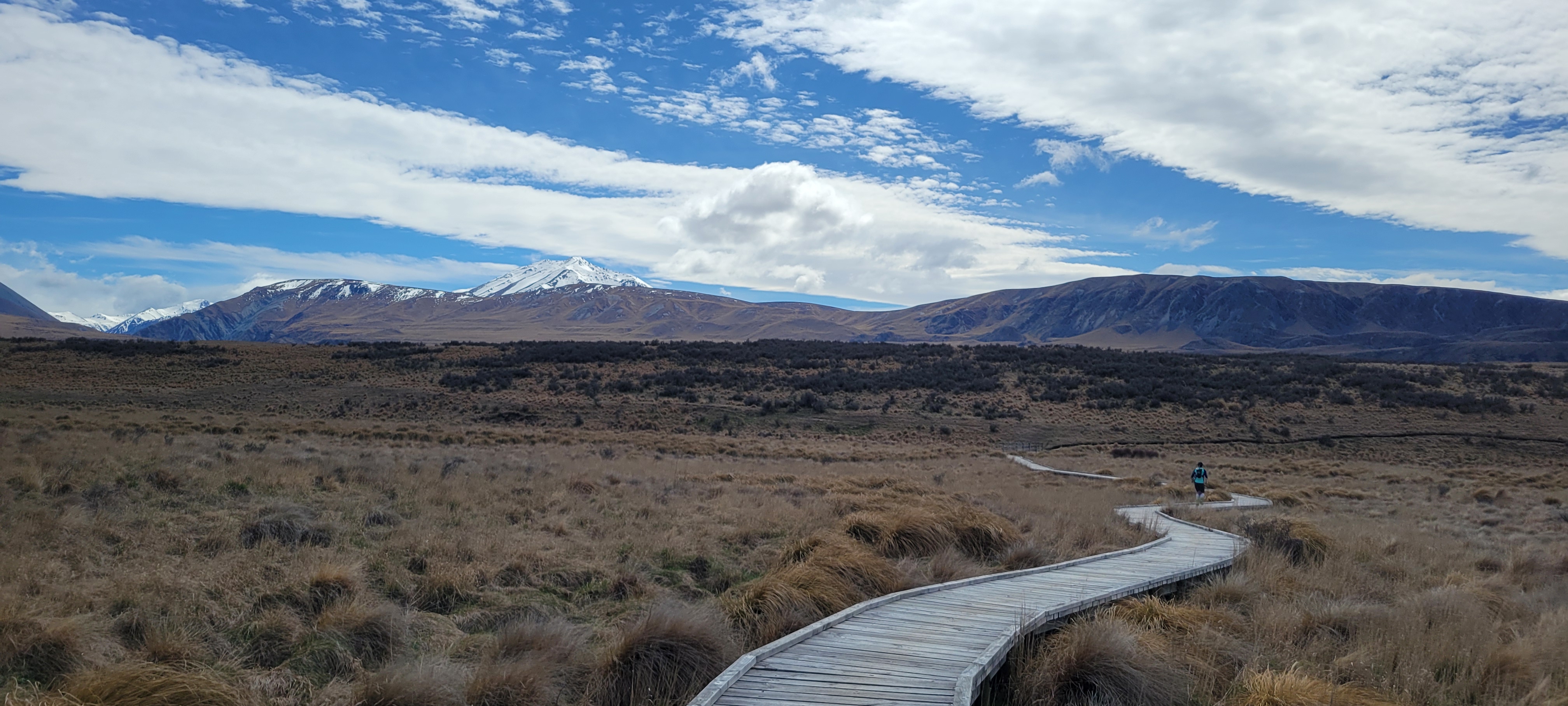
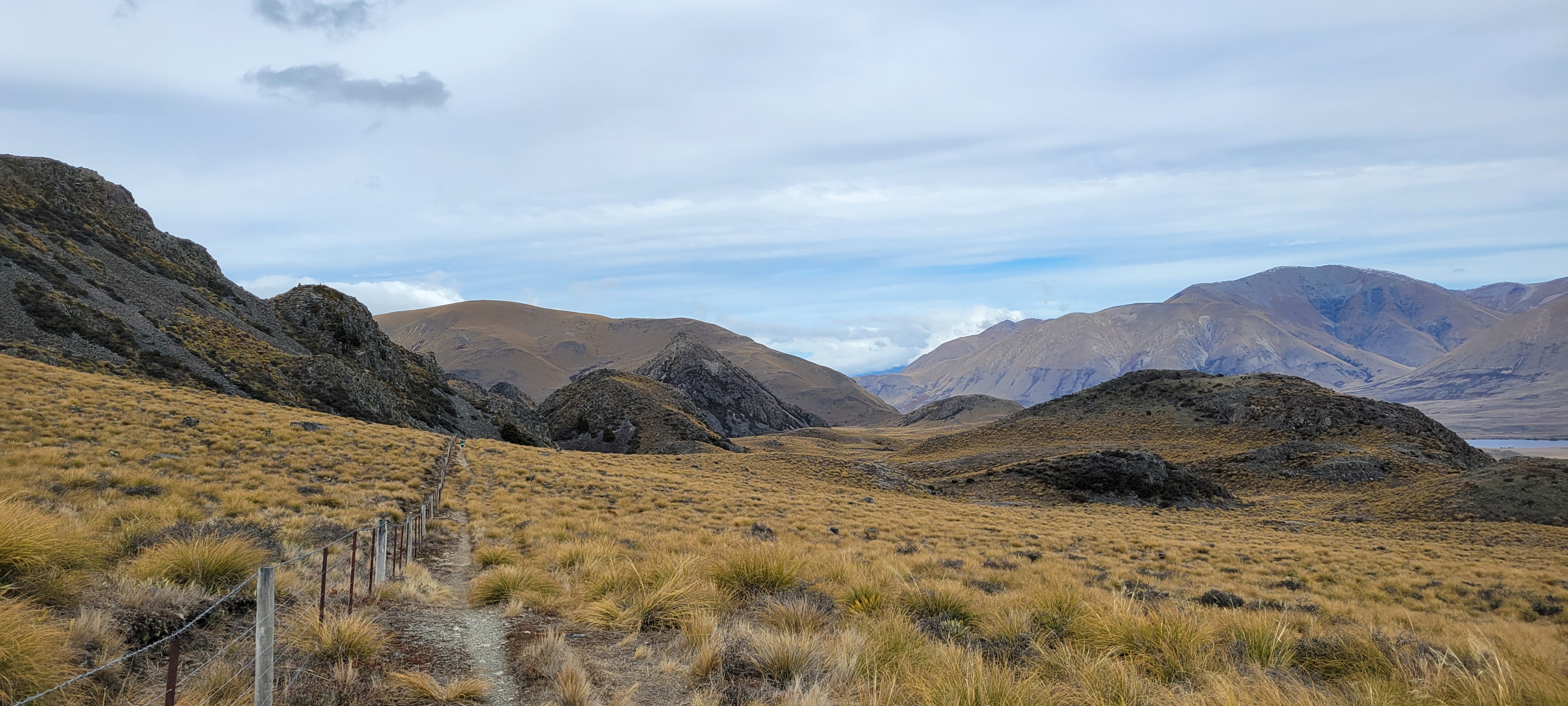
The loop starts with a flat trail heading toward the Two Thumb Range. Though my legs were quite tired after setting my PR in a 5k the day prior, the sight of the mountain range swirling inside the cloud distracted me while I warmed up.
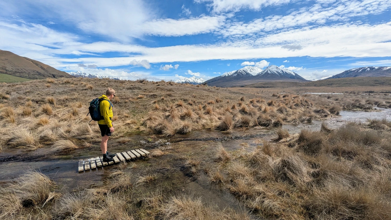
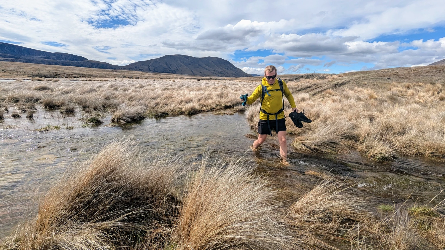
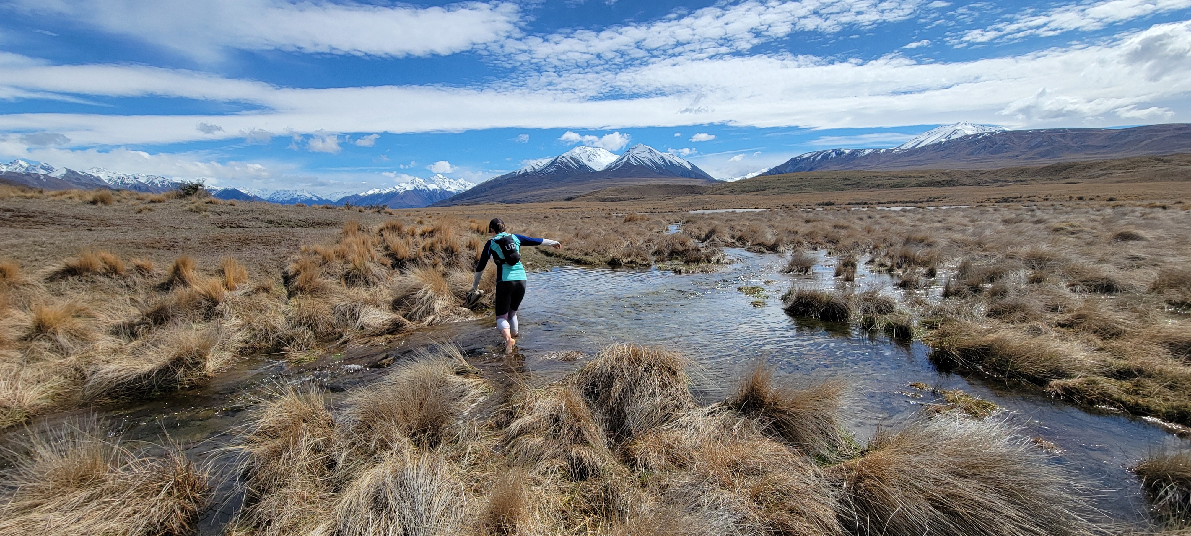
After a brief section of easy running, we reached a spot where the bridge that once spanned a creek had been washed away. Since the bridge was gone, crossing required our shoes to come off if we did not want to run in puddles for the next 22K. Though I hoped this would be the only spot with a significant amount of water, it would turn out to be just the first of many.
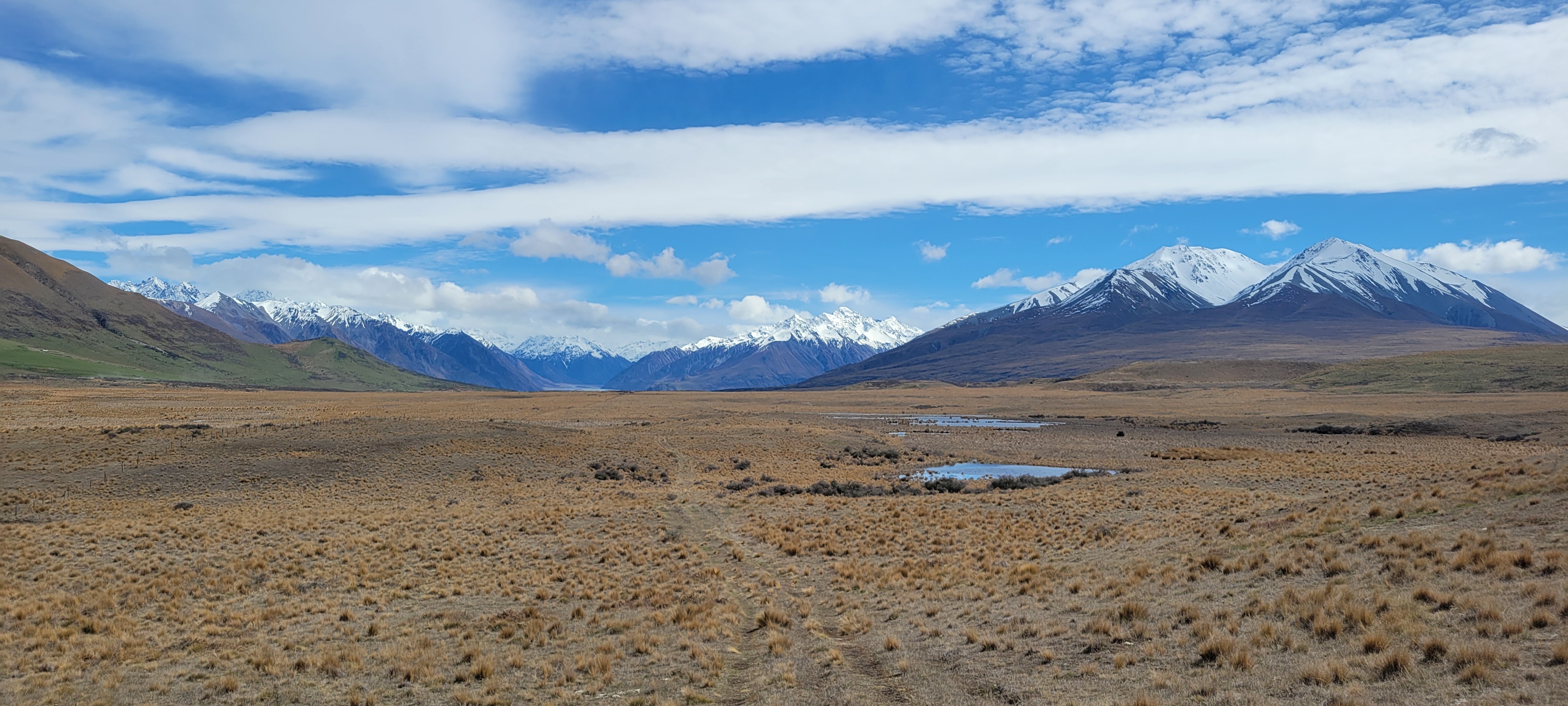
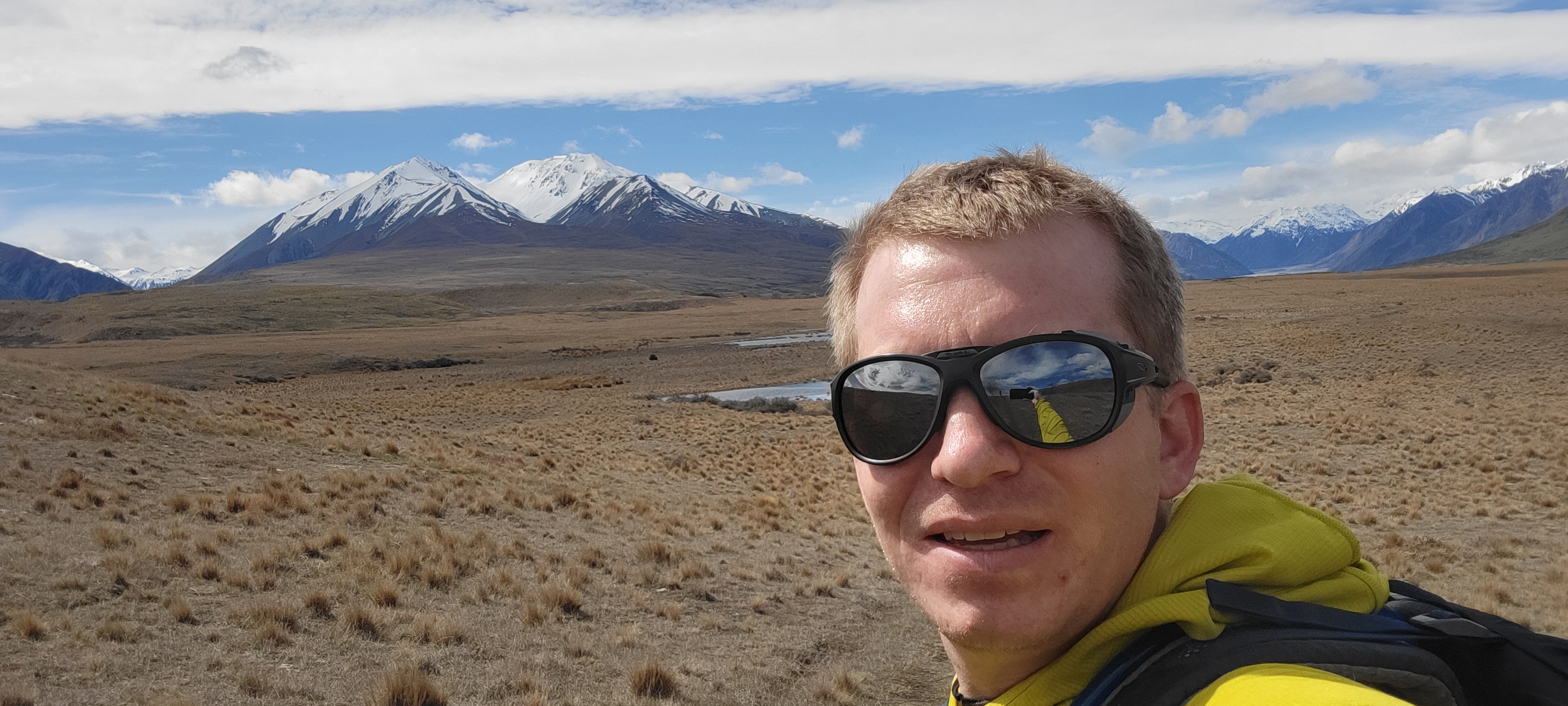
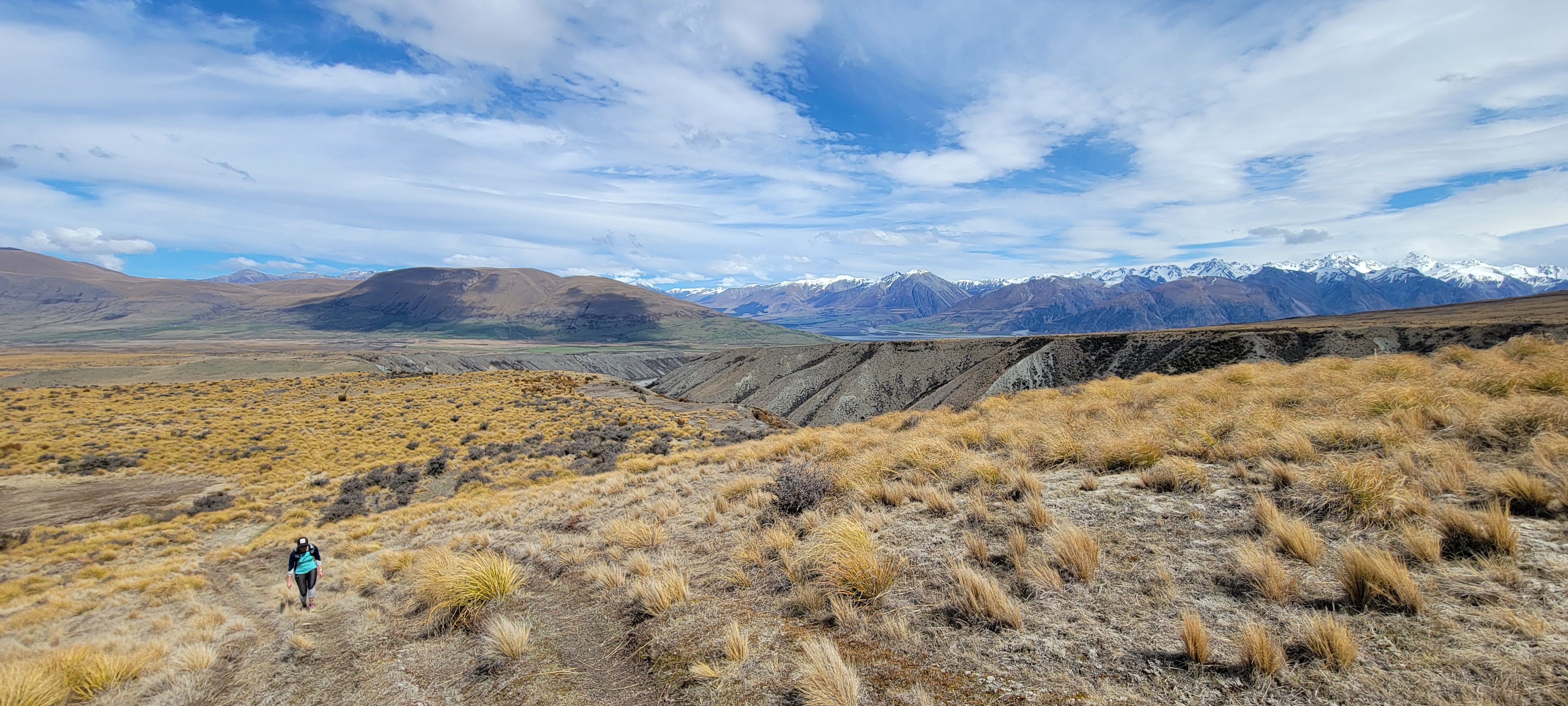
Until around 7k into the run, the trail remained relatively flat, with some stunning views of the Two Thumb range. Nothing can take your mind off the feeling in your legs like the sight of some 2000+ meter peaks looming in the distance.
Once the trail started to head uphill, our pace slowed significantly as we walked up the next 5k to where the trail began to wrap back around towards Clearwater Lake and Mount Guy. Once it leveled back out, we began our jogging again, at least until we approached Mystery Lake.
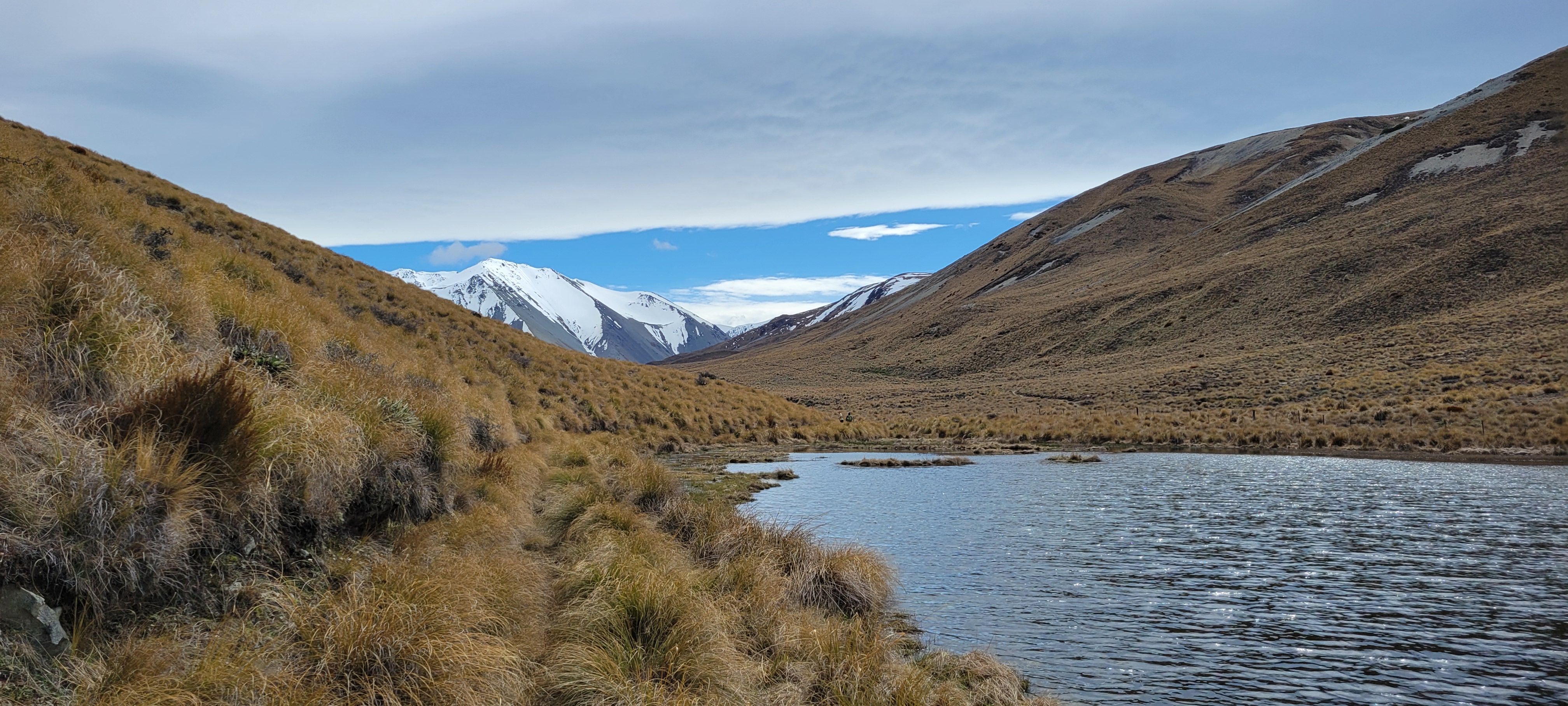
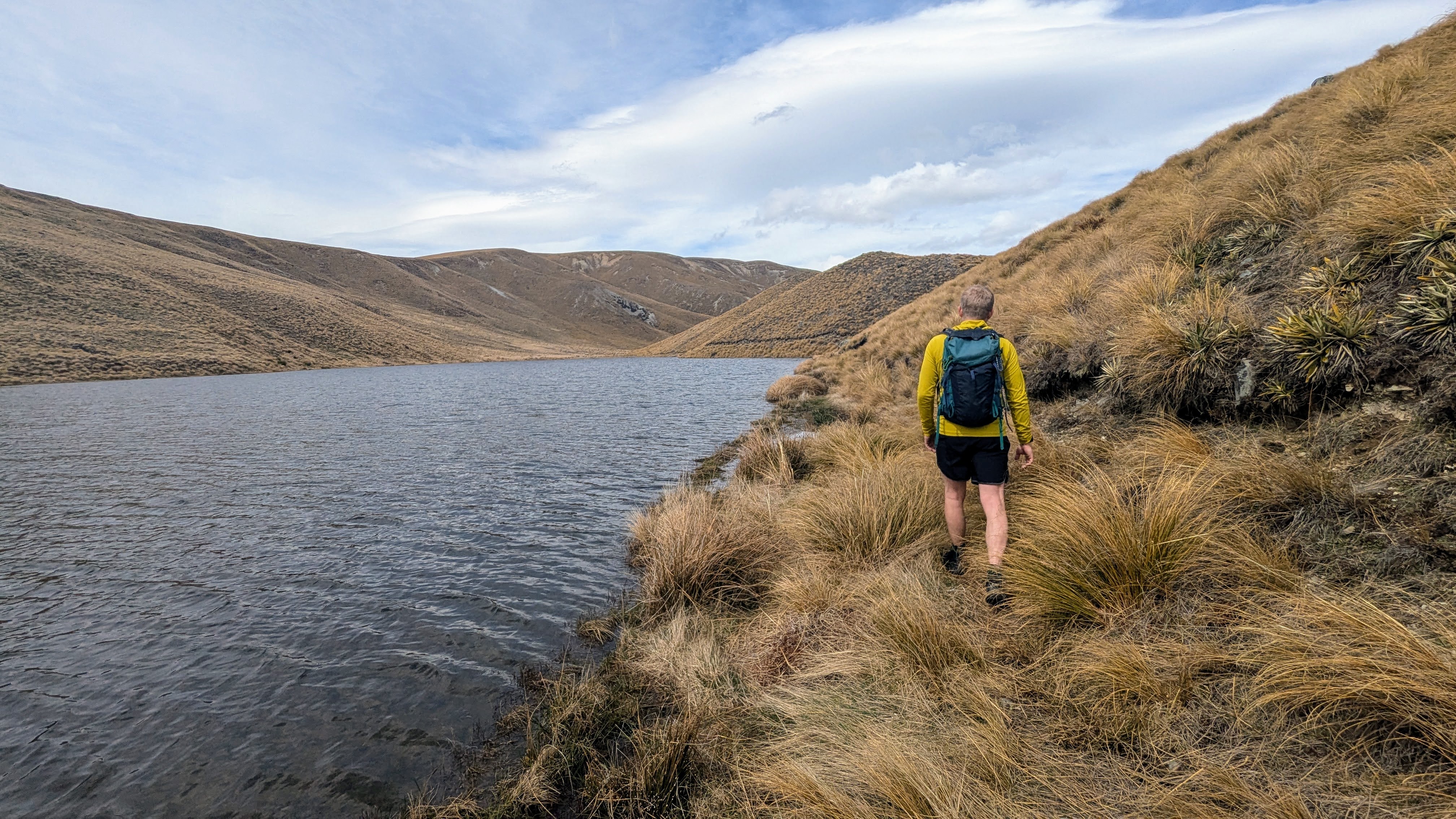
Mystery Lake put a bit of a damper on our progress. Due to the rain over the preceding week, the lake was quite high, requiring us to make slow progress while finding creative ways around the water obstacle.
Following the lake, however, we maintained a level jogging pace until we approached the climb up Mount Guy.
Following the lake, however, we maintained a level jogging pace until we approached the climb up Mount Guy.
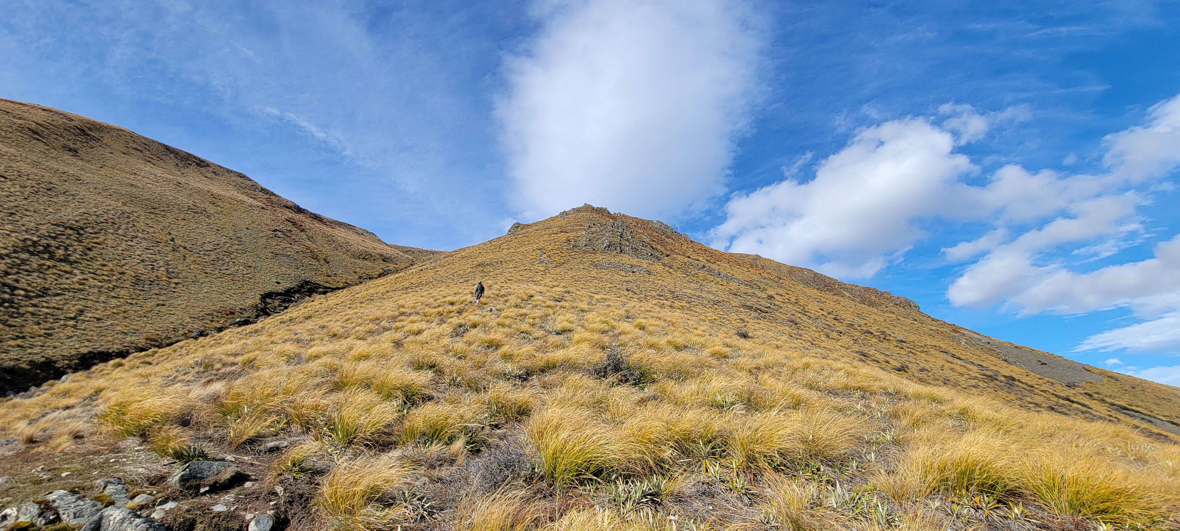
To make the ascent of Mount Guy, we used a faint climbing trail that heads up the west side of the peak. There were spots where the trail was apparent and others where any sign of people was scant. But, since the peak has a pretty obvious summit even from below, there was little, if any, navigation required. Along the way, I noticed on my Gaia map that a small sub-summit of Mount Guy was labeled only as 1274 meters (4180 Feet). Of course, I had to make the tiny extra effort to stand atop such a monumental accomplishment.
After point 1274, the remainder of the ascent up Mount Guy was just a single hill to the summit cairn.
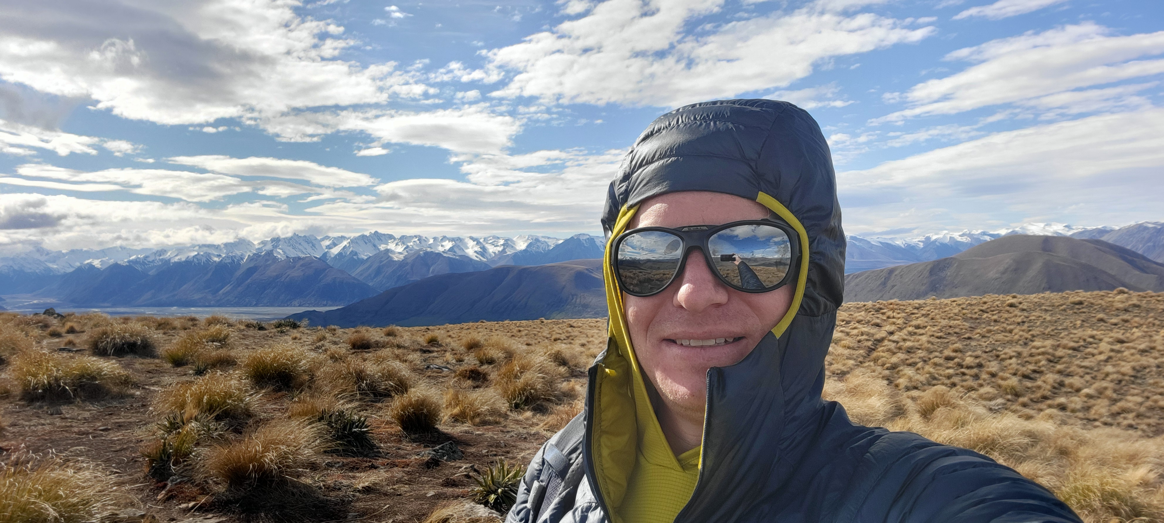
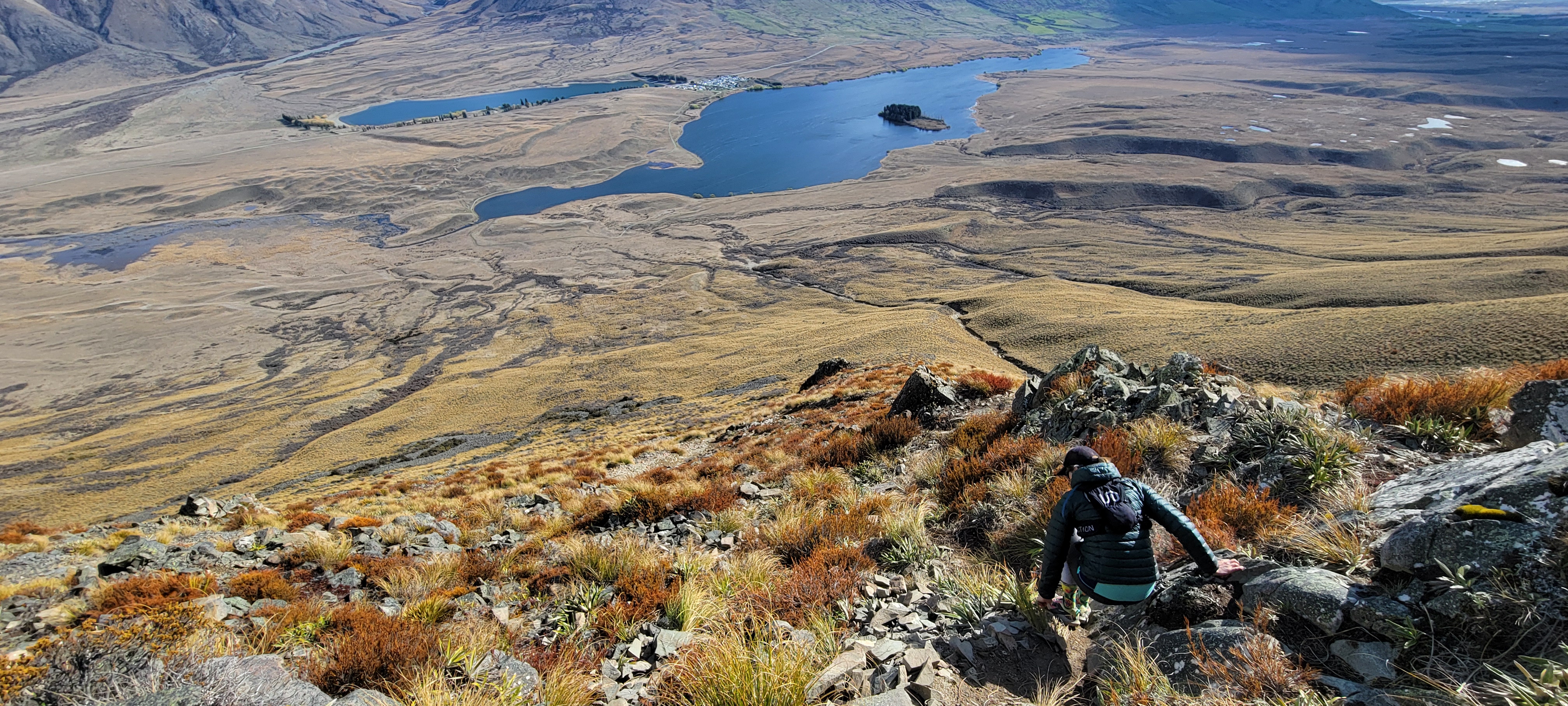
We only took a brief stay at the top as the wind was kicking up before heading down the south side climbing route, which is the only labeled route to the top. This side was far steeper and quite a bit more technical than the ascent route we had used. So for anyone going up to the summit who wants a walk and not a scramble, I would suggest walking around to the west side.
The last section of running was a flat road, but I was running out of steam and ended up walking the majority of it.


