




 Nov 30, 2024
The Mingha-Deception Route had been on my list for a while, mostly because it seemed like one of those classic Arthur’s Pass National Park trips that gives you a little bit of everything: river travel, route finding, a hut option, a high pass, and a long walk out through the hills. What I didn’t fully appreciate before doing it was how much of the experience depends on your tolerance for wet feet and how much better the trip gets once you leave the Deception side behind.
The Mingha-Deception Route can be done in either direction. No matter what though, unless you are happy with a long road walk or trying your luck hitchhiking, it works best with two cars. We had a fairly large group, which made the logistics a lot easier. We left one car at Greyney’s Shelter and another at the Mingha - Deception Parking Area north of Arthur’s Pass Village. Starting from the north, the track begins by crossing a bridge over the Ōtira River and then wastes very little time introducing you to what the Mingha-Deception Route is really about.
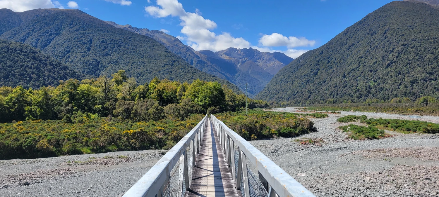
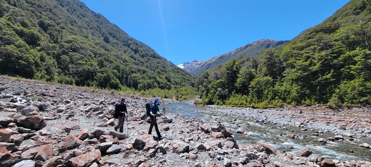
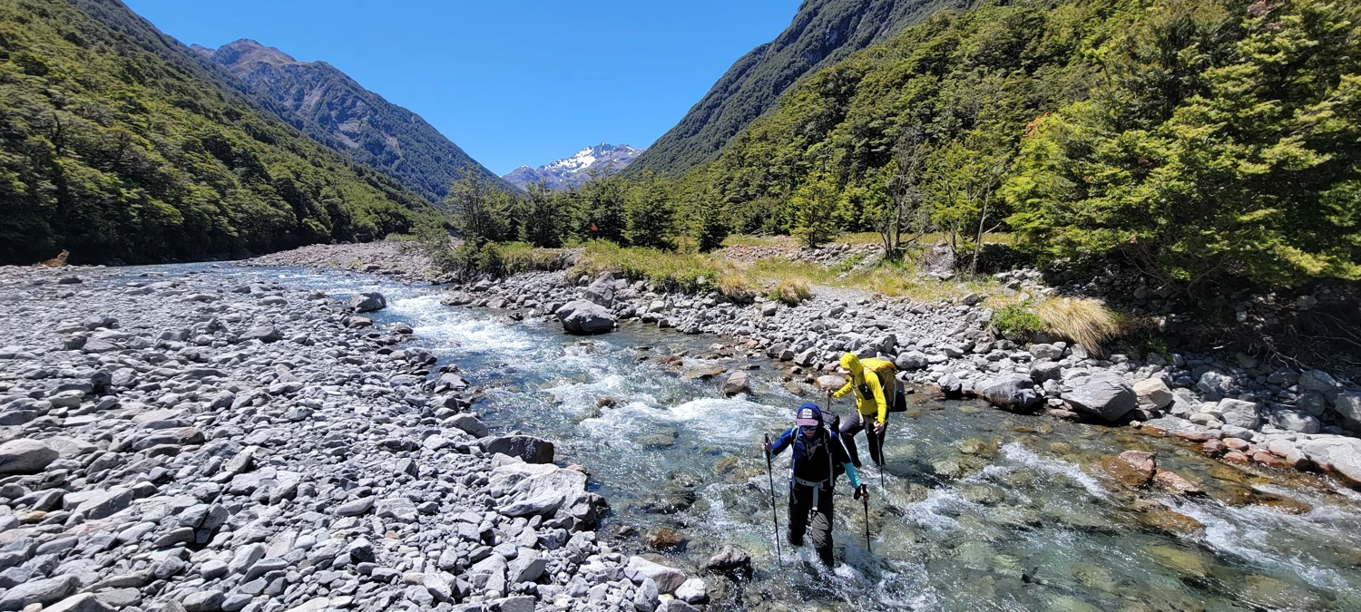
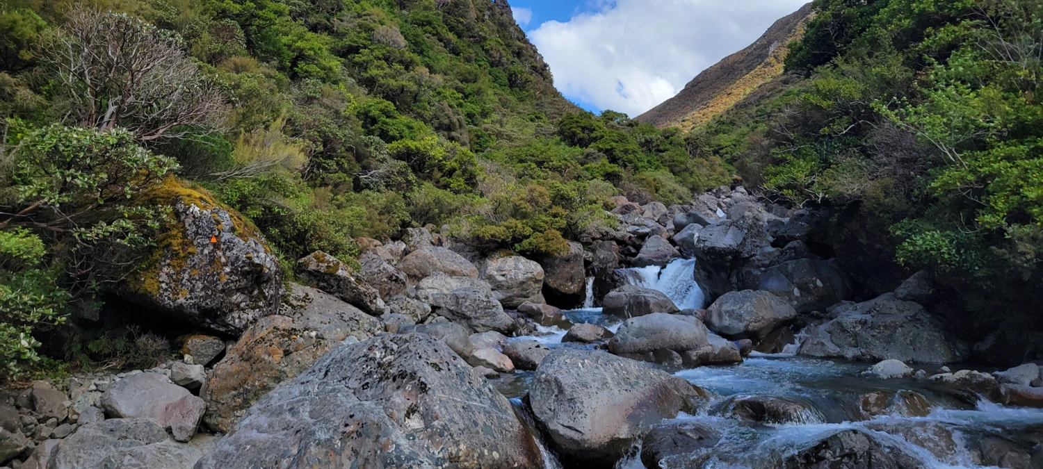
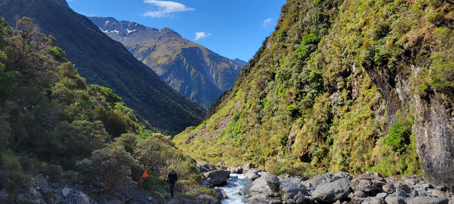
For most of the first day, especially north of Goat Pass, the route crisscrosses the Deception River over and over. There are plenty of large orange triangles marking the track, which helps, but we still had to stay alert. At times the route felt obvious, and then five minutes later we were scanning the valley walls and gravel bars trying to spot the next marker. A lot of that side of the Mingha-Deception Route is less of a trail in the way many people think of a trail and more of a route through a river valley that happens to be marked.
At that point in my time hiking in New Zealand, I still was not used to the local approach of just accepting that you are going to walk in rivers. I spent most of the day trying to mentally bargain my way out of having puddles in my shoes. That did not work. Eventually I just had to give in and keep moving.
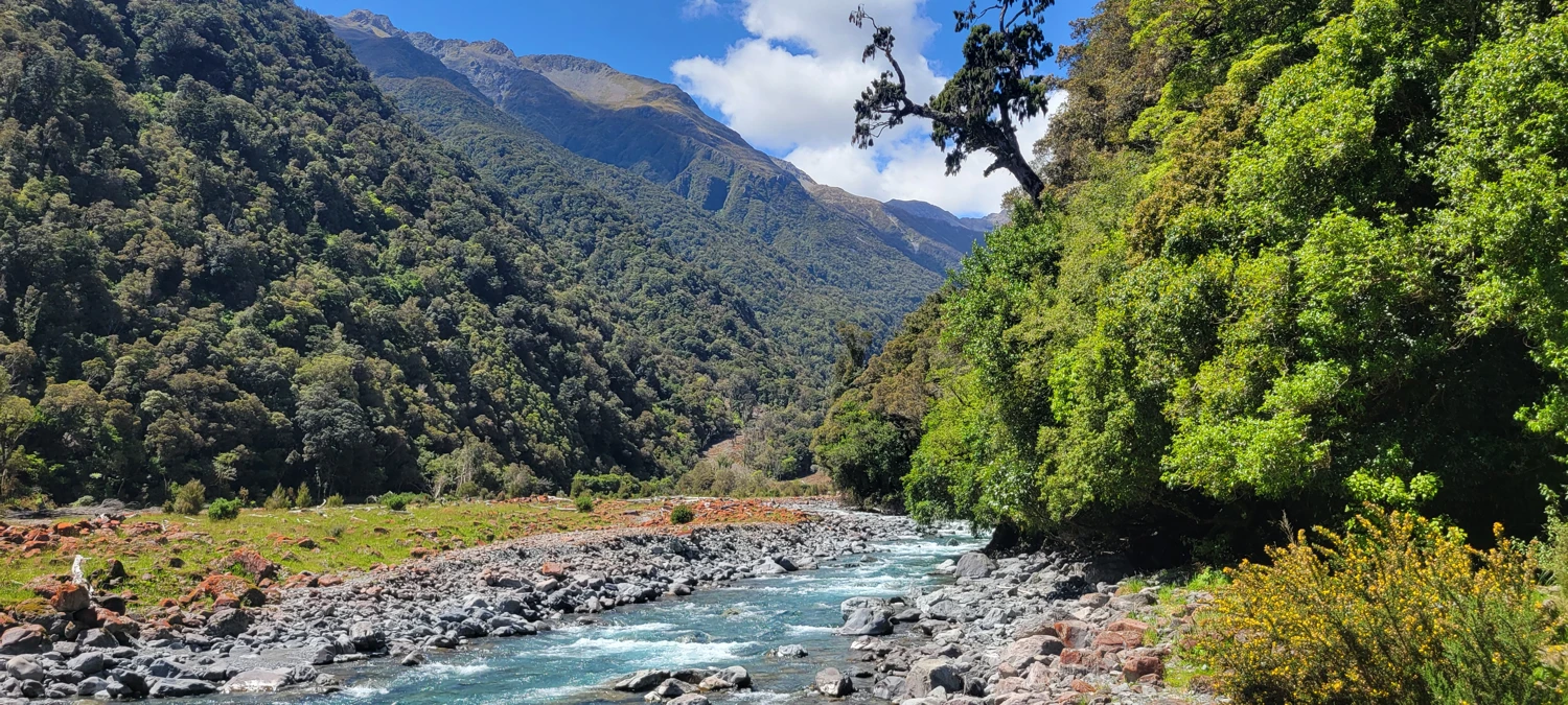
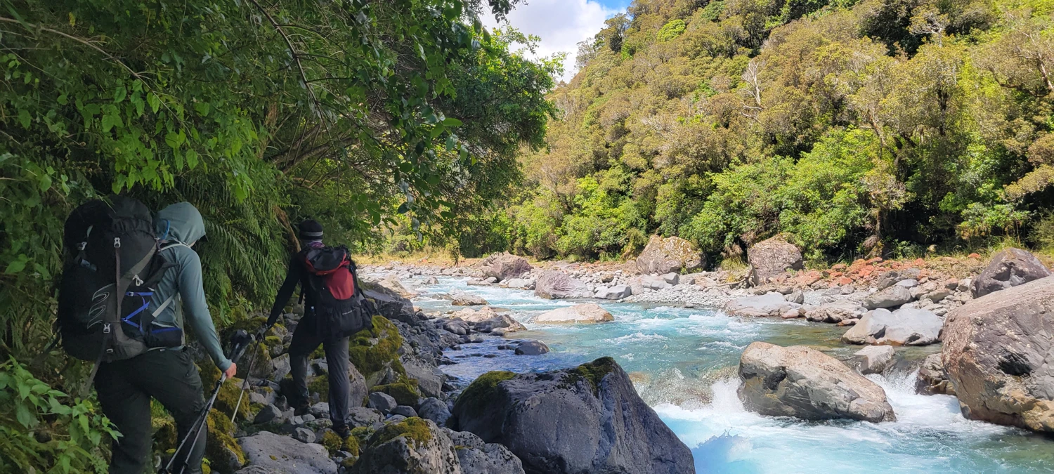
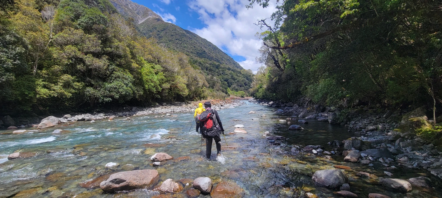
The hardest section of the first day on the Mingha-Deception Route came between Upper Deception Hut and Goat Pass Hut. This was the section where the route felt most like work. The track was often just in the river, and the orange markers could be surprisingly hard to pick up at times. Nothing about it felt especially elegant. It was the kind of travel where you just keep plugging away because there is no shortcut and no trick to it. You look, you cross, you walk, you repeat.
Goat Pass sits at about the halfway point of the Mingha-Deception Route and gives you a few different options for the night. Goat Pass Hut is the obvious and most popular choice, but it is first come, first served and not bookable. On a busy weekend, I would not count on getting a spot unless you arrive early. If that hut is your main plan, I would absolutely still bring a tent.
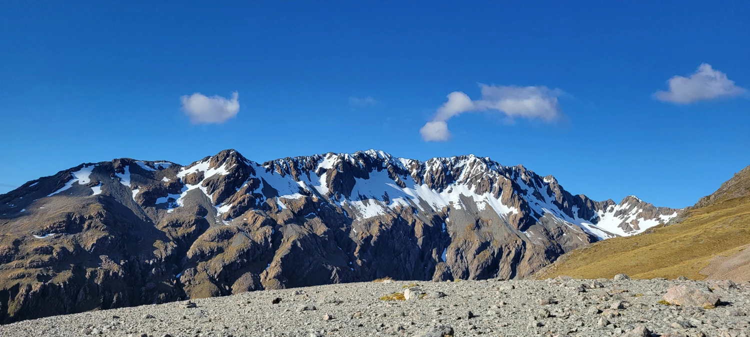
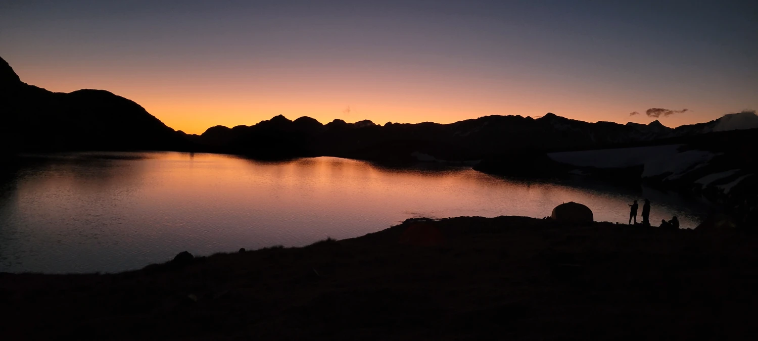
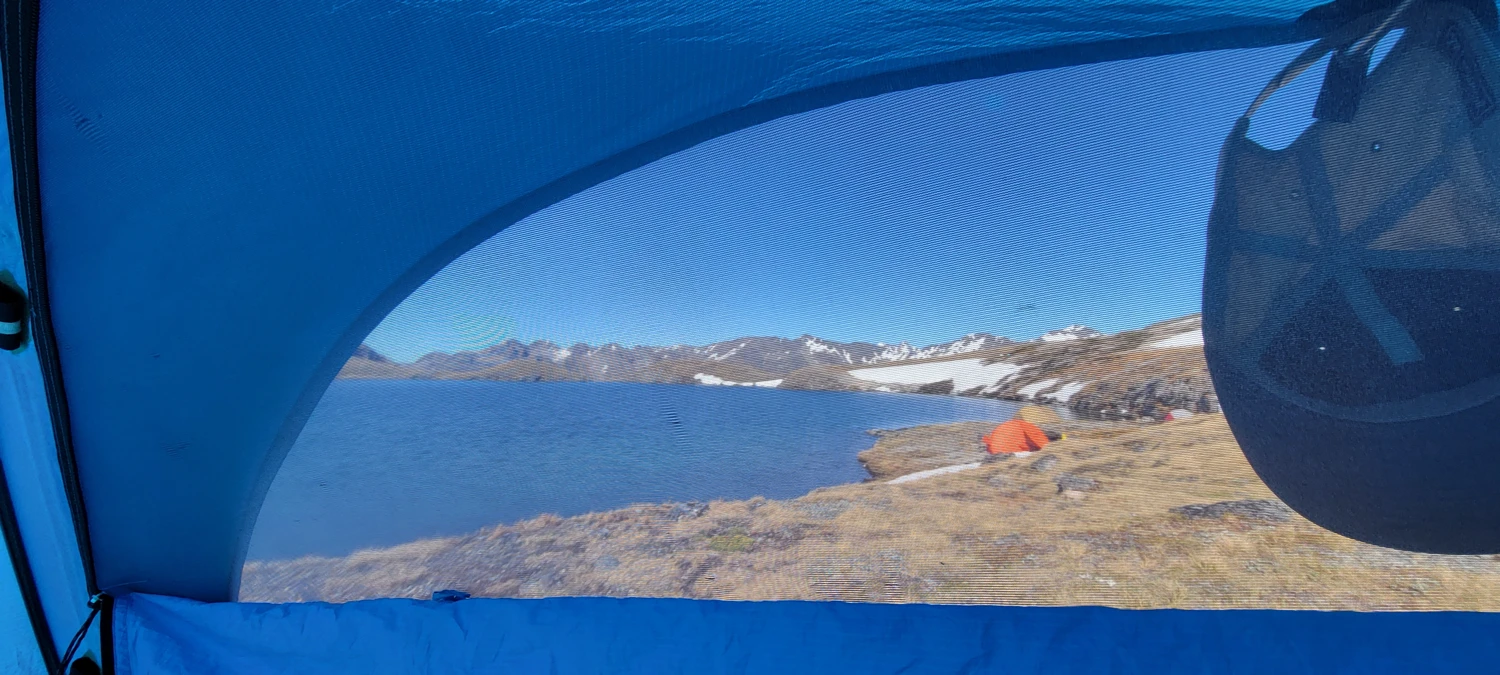
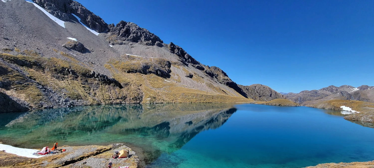
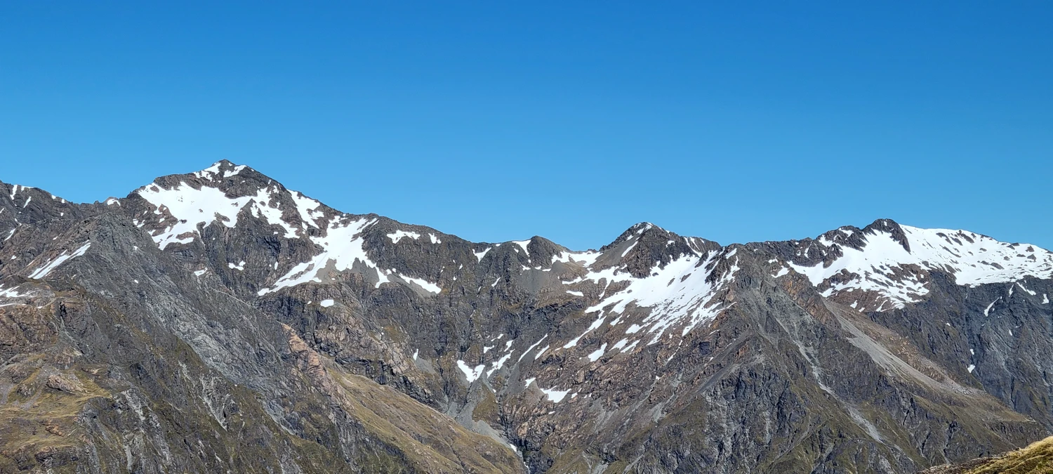
We decided to push on and camp at Lake Mavis instead, and that ended up being the highlight of the entire trip. The lake sits tucked between Mount Oates and Mount Franklin and feels far more memorable than the rough valley travel below. By evening, the water was throwing back reflections of the peaks above it, and the sunset light made the whole place look far better than I thought we had earned after spending the day sloshing around in a river. For me, Lake Mavis is the reason to do the Mingha-Deception Route at all.
 Dec 1, 2024
Day two follows the Mingha River Trail out toward Greyney’s Shelter, and the contrast with the Deception side is immediate. This side of the Mingha-Deception Route is much more developed. There are boardwalks dropping into the valley, the trail is well marked, and the paths through the woods are easy to follow. After the previous day, it almost felt civilized.
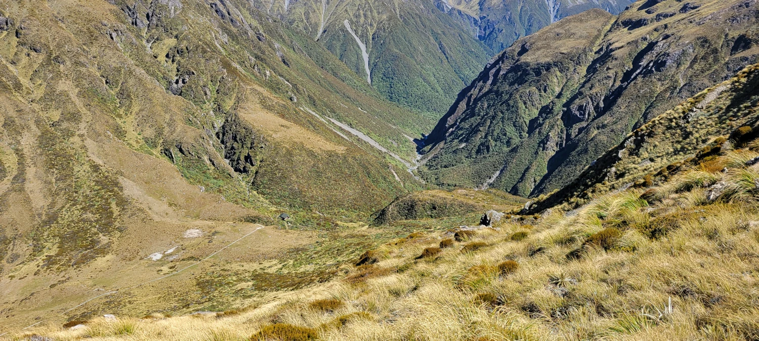
That said, the exit is not completely free. Even though the route trends downhill, it oscillates constantly. We clocked around 425 meters of climbing on the way out, which is a little rude when you are already expecting an easy descent back to the car. There are also still river crossings to deal with, especially in the last 3 to 4 kilometers. By then, though, I had stopped taking my shoes off. Somewhere along the way I finally gave in to the New Zealand hiking style and accepted that dry feet were no longer part of the plan.
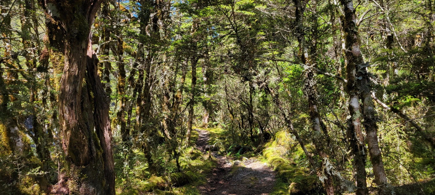
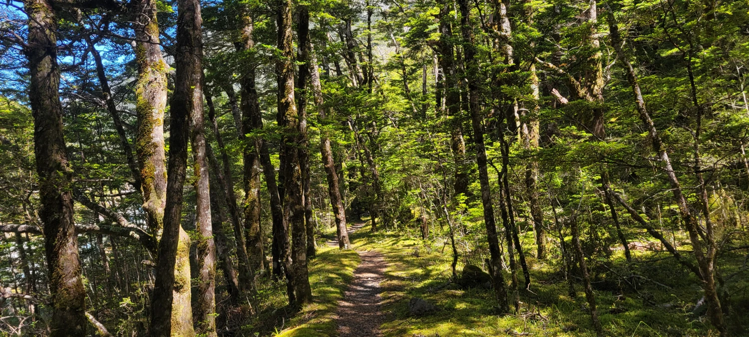
Overall, I had fun on the Mingha-Deception Route, but I would be lying if I said both sides of it were equally worthwhile. The real standout of the trip was Lake Mavis, and if I were going back, I would strongly consider approaching from the Mingha side and skipping the Deception side altogether. The southern half is simply a better walk. Still, as an early summer trip in Arthur’s Pass National Park, the Mingha-Deception Route was a solid adventure, a good lesson in local trail culture, and a fast way to learn that in New Zealand, sometimes the trail is just the river.