



 Jan 31, 2026
The last time we camped at Lake Mavis, we were in the area while doing the Deception Mingha Route. This time we decided to skip the rougher Deception River approach and come in from Greyneys Shelter instead. That choice cuts out a lot of the unpleasant river walking and replaces it with something that is still plenty physical, just a bit more straightforward. It felt like the smarter option for getting back to Lake Mavis without wasting energy on a route we did not need to repeat.
From Greyneys Shelter, there is a tunnel under the train tracks that gets you through to the road. Once you reach the end of that gravel road, the day starts properly. The first river crossing is right there and was about knee deep for us. That set the tone for the first part of the trip.
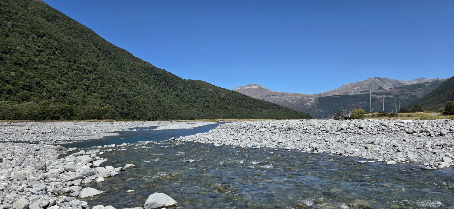
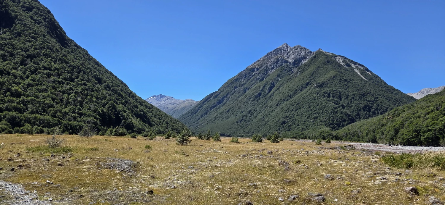
The first 5 kilometers or so follow the Mingha River through braided channels, and there is no way around the fact that this part is wet. We crossed the river about five times. Trail Cutter was not interested in spending the day in soaked shoes, so she swapped footwear for the crossings. That probably looked like extra faff at first, but by the end it was clearly the better system. We worked through that whole opening stretch in about an hour and a half before finally reaching the woods.
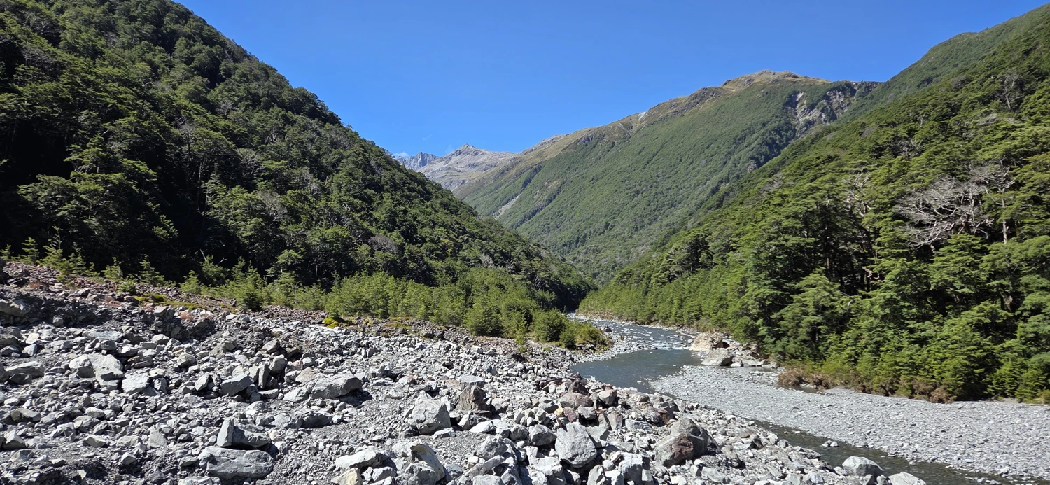
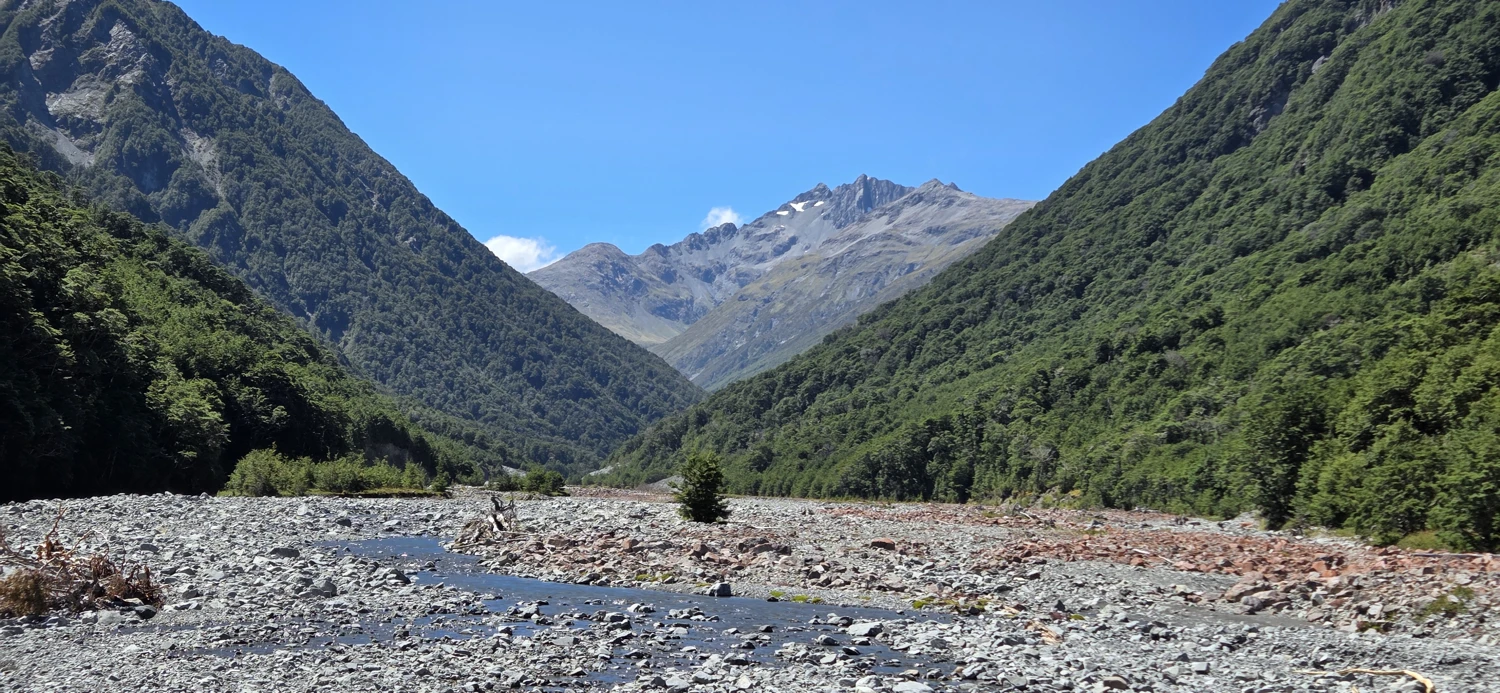
Once in the forest, the track gets steeper in bursts and stops feeling casual. It climbs, drops back toward the river, then climbs again. It is a mix of riverbank travel and wooded trail, and it never really lets you switch off. Nothing about it is especially technical, but it does demand attention. It is the sort of track that keeps reminding you not to get lazy.
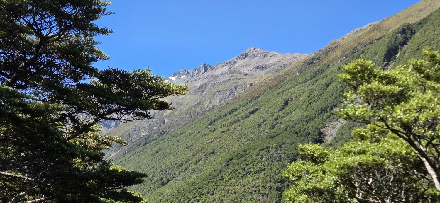
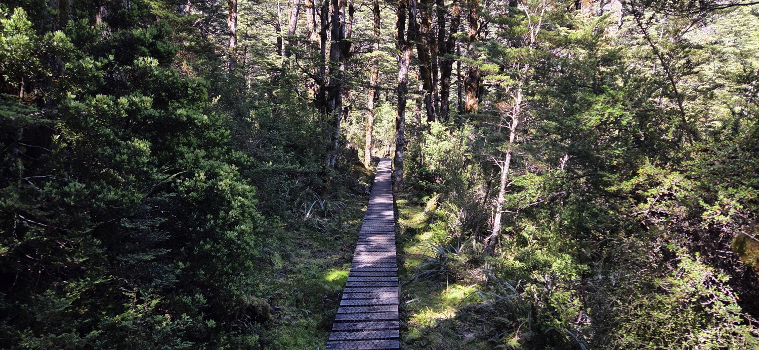
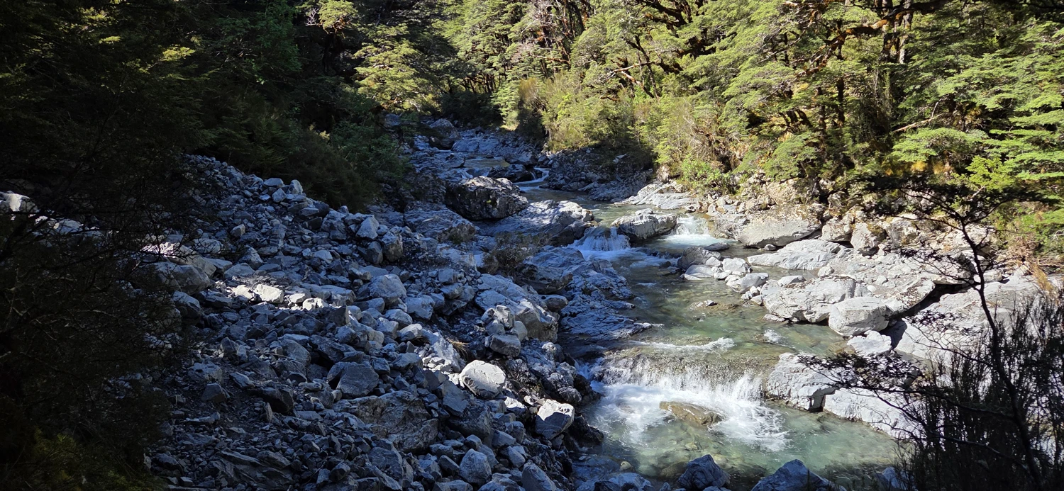
Just below Goat Pass the trail improves dramatically. Boardwalk appears, the final climb is helped along by well-made stairs, and everything suddenly feels far more civilized than the river section below. For the last available toilet, you need to continue over the pass to Goat Pass Hut. You could also stay there and make Lake Mavis a day trip if you wanted an easier overnight. That said, the sunset up high is worth carrying the extra gear.
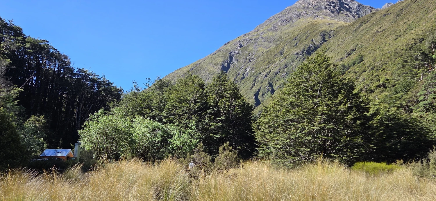
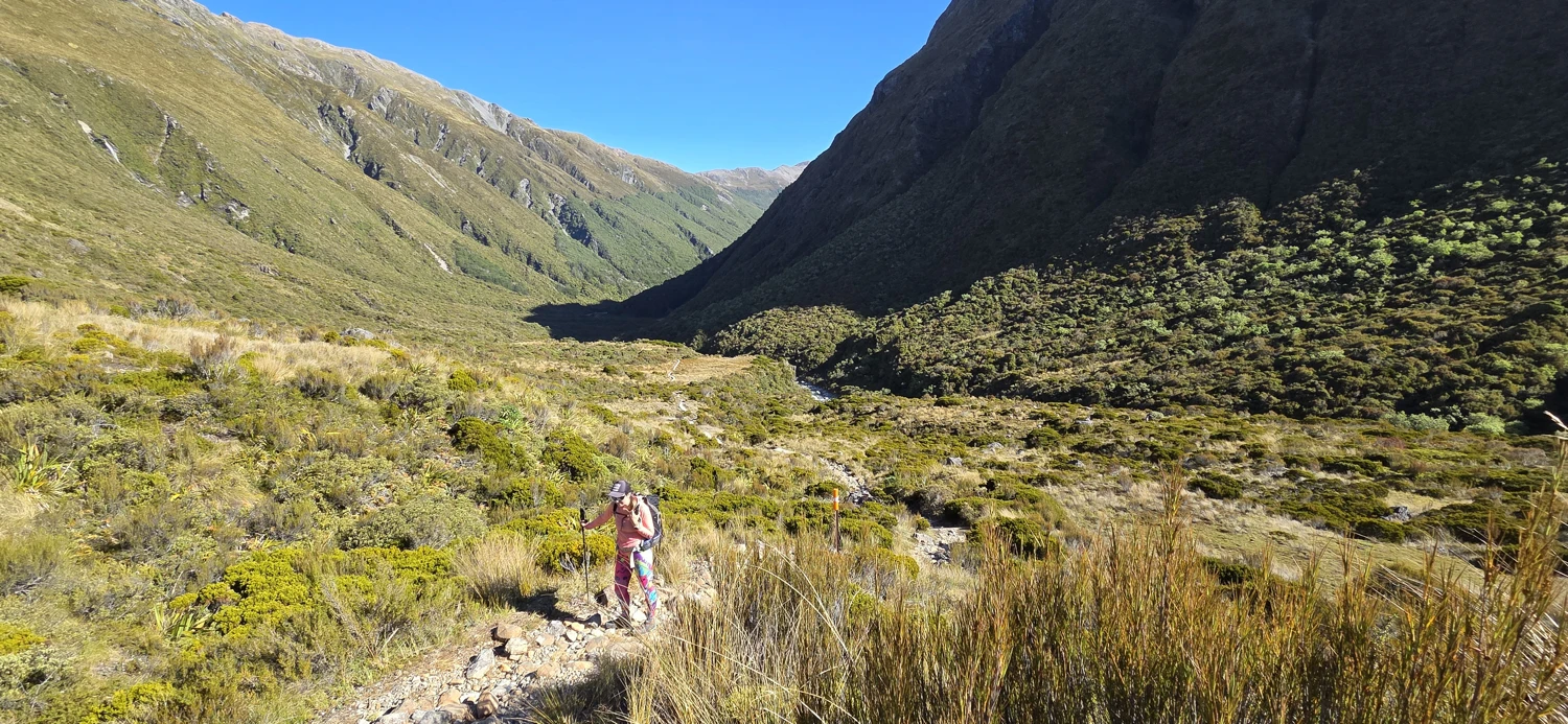
The climb from Goat Pass to Lake Mavis starts at roughly -42.90381, 171.62560. If you can find the start, there is a faint trail. On this trip it was marked by a cairn, which helped, but the first couple hundred meters were still annoyingly hard to follow. After that it becomes more obvious, though obvious might be overselling it a bit. The path still weaves in and out of the grass and is easy to lose if you stop paying attention.
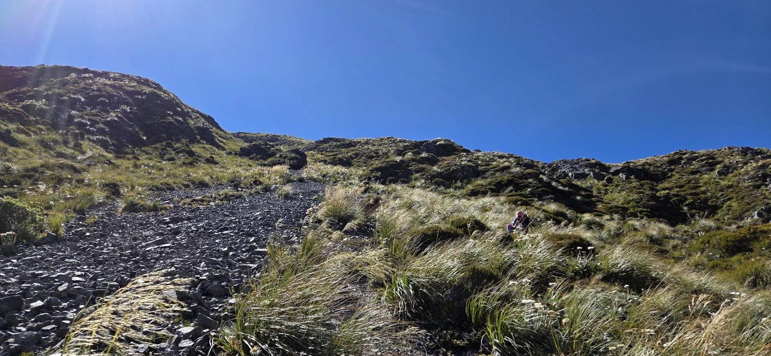
The hill itself is brutally steep. We are both experienced hikers and it still took us around an hour and fifteen minutes to grunt our way up the main rise. There is one section where the slope finally backs off and gives you false hope, then you have one more climb near the waterfall before reaching Lake Mavis. It is not a long side trip on paper, but it does not feel small while you are on it.
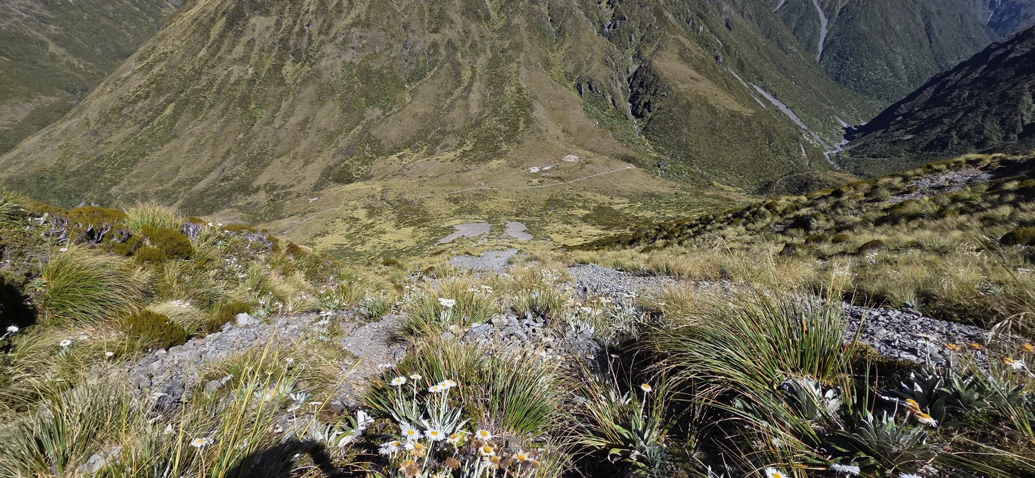
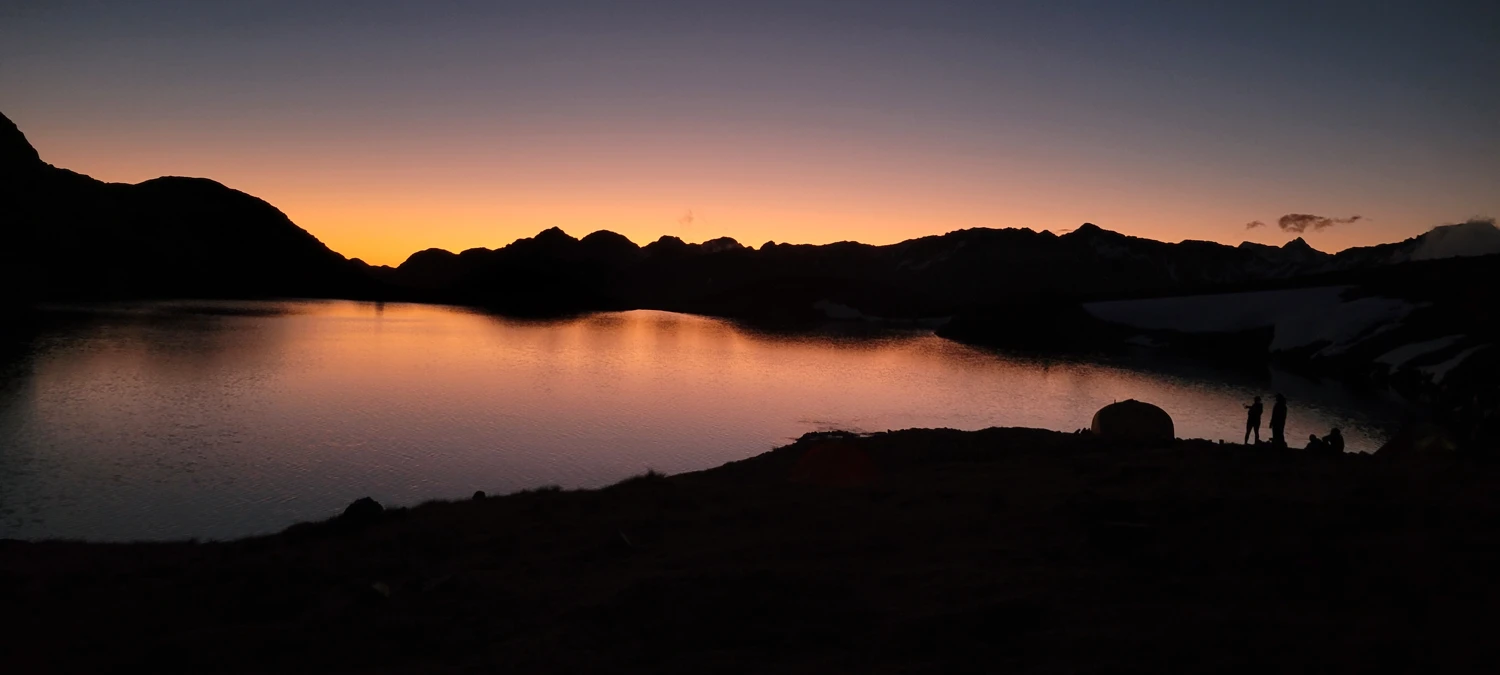
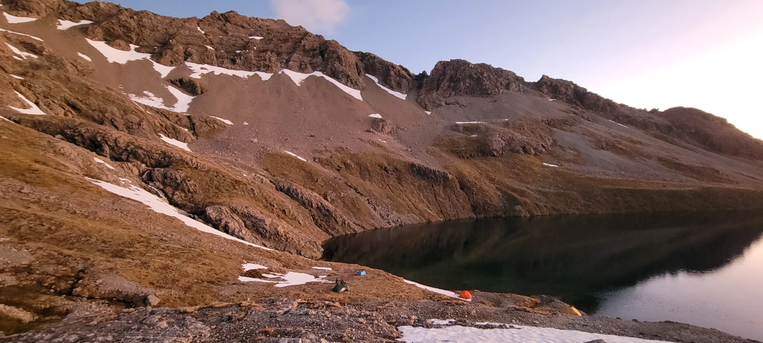
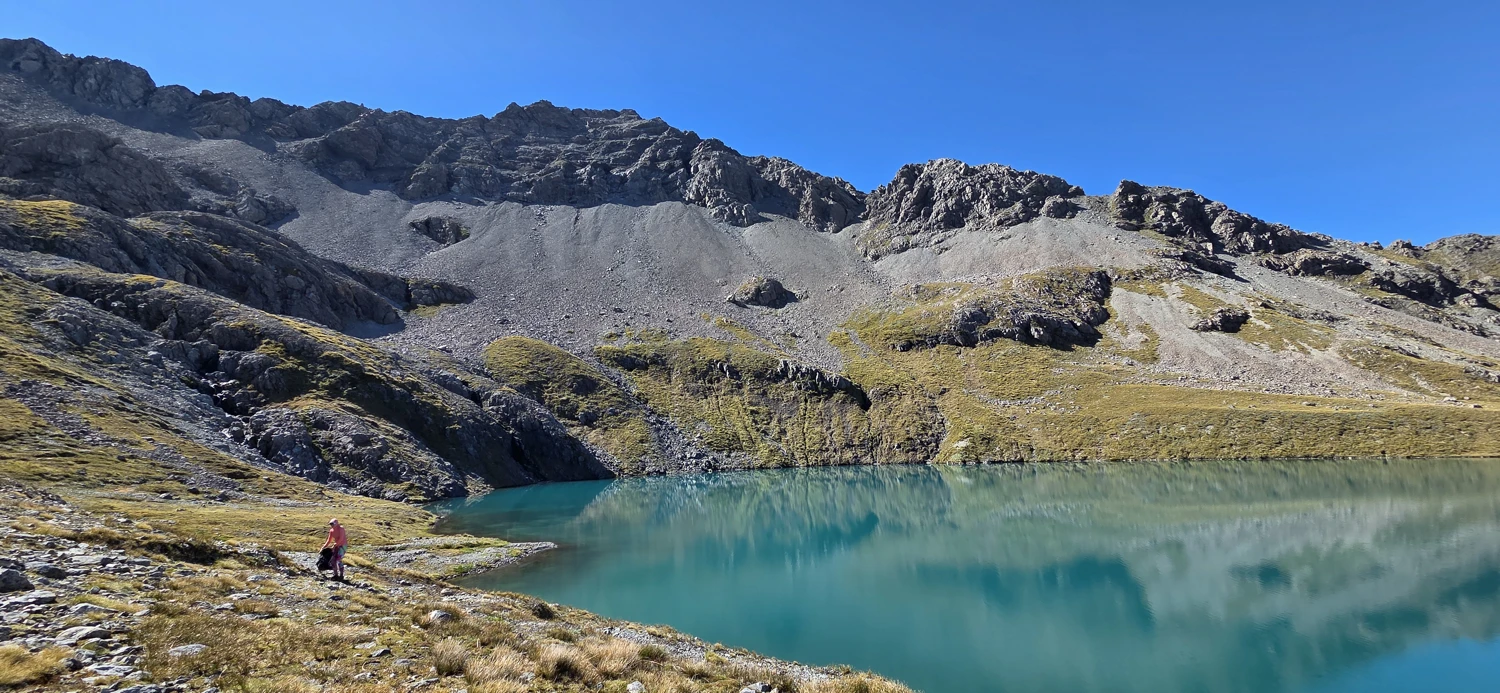
Lake Mavis sits in a basin below Mount Oates and is a far better camp than its modest size might suggest. It has a wide open feel, with views over the Arthur’s Pass peaks and all the way to Mount Rolleston on a clear day. The light in the evening was the reason to be there. Sunset dropped behind the ridge and turned the whole basin quiet in that way only alpine camps seem to manage. We all sat out watching it until the stars came on, then finally crawled into bed.
 Feb 1, 2026
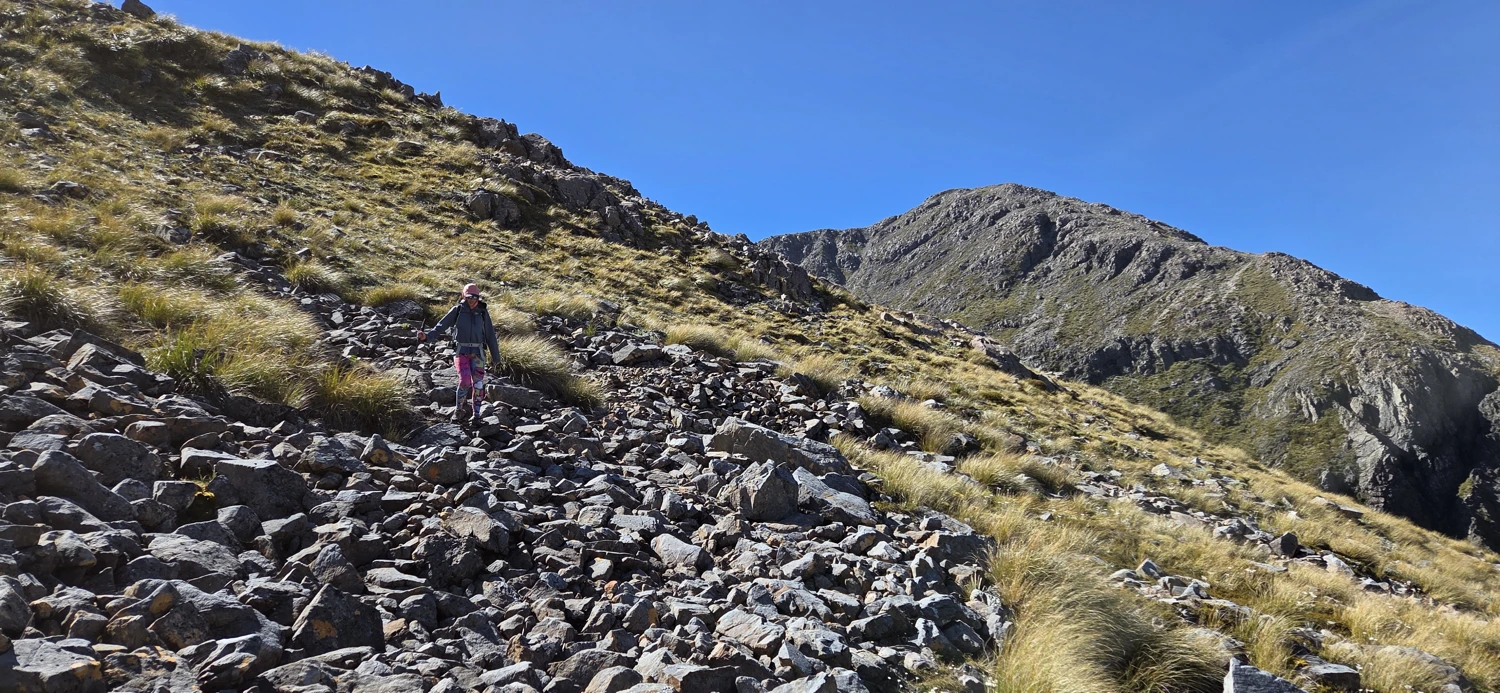
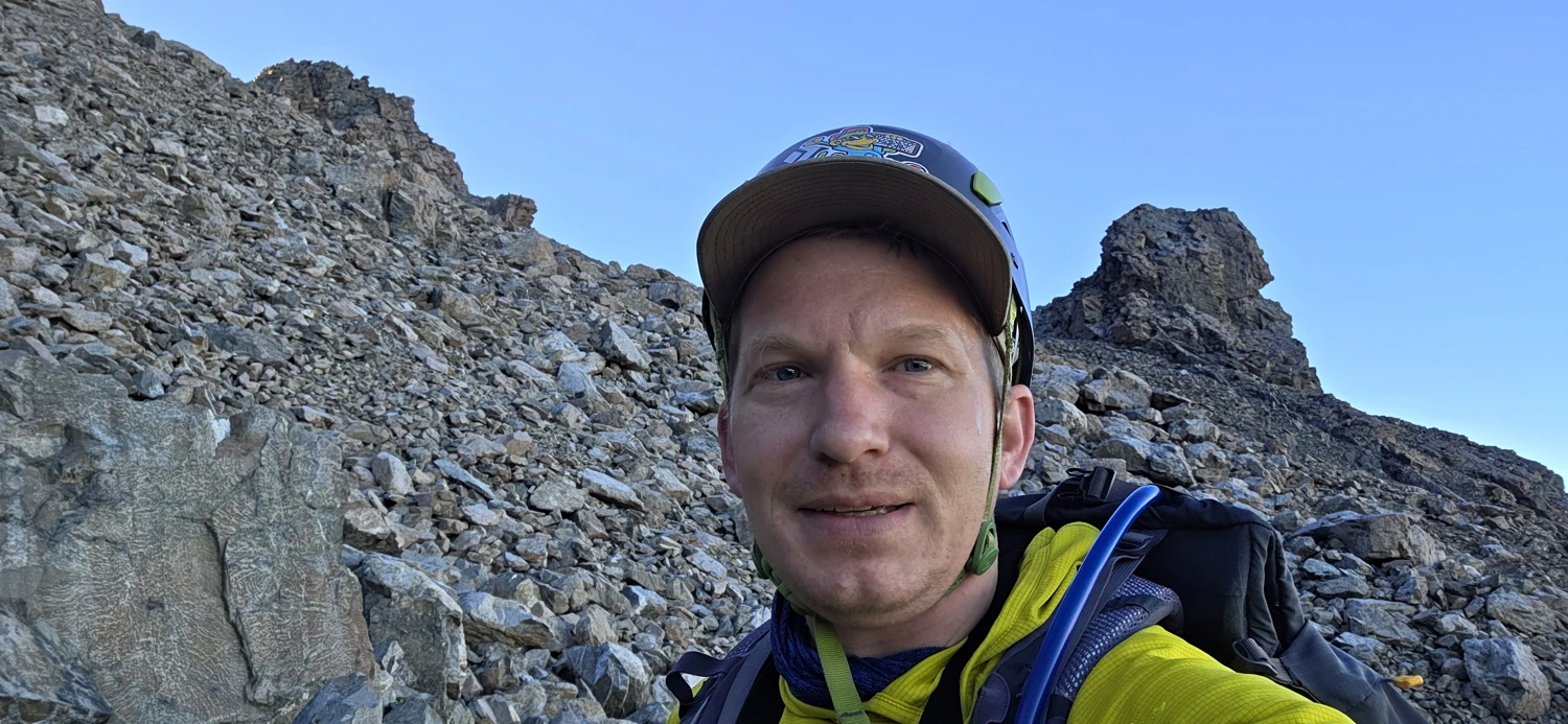
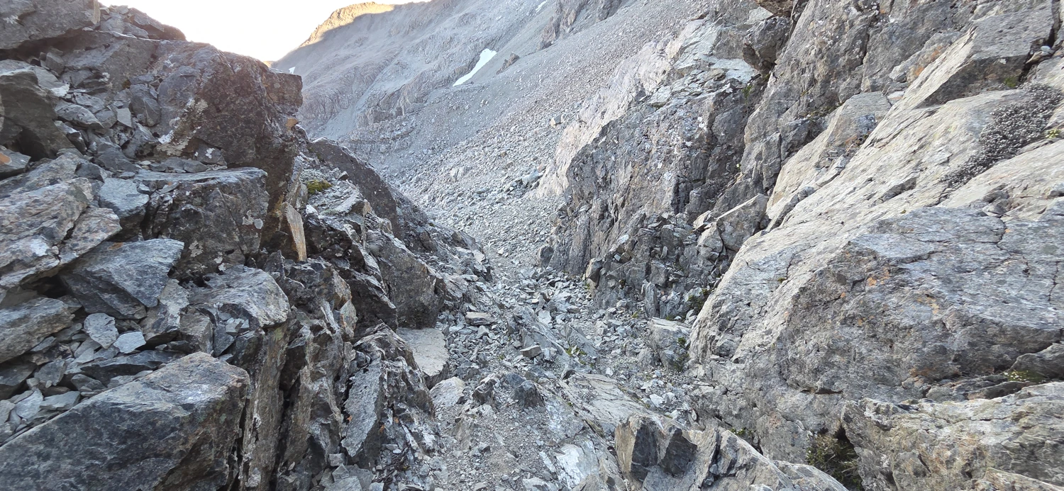
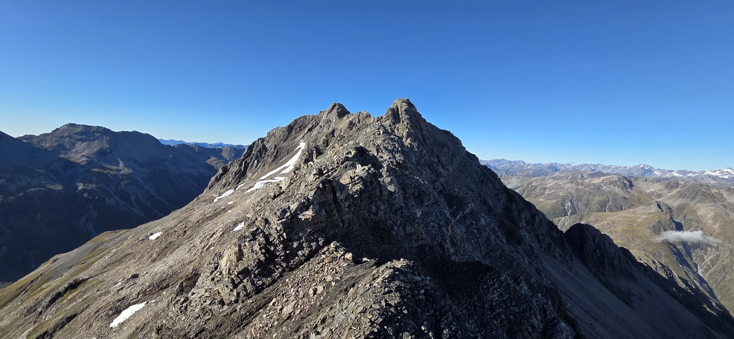
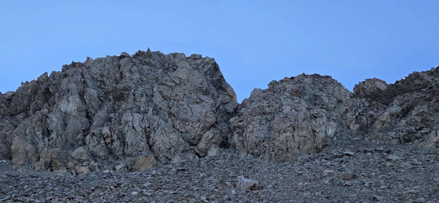
The next morning I decided to have a look at Mount Oates. The route heads up scree and then out onto the ridge. In theory that sounded manageable. In practice, I gained the ridge in the wrong place and promptly cliffed out. Since we needed to get home for work on Monday, that felt like a good time to stop pretending determination was the same thing as good judgment. I turned back. There are multiple route options for Mount Oates, and I also found this trip report for Mount Oates useful in my planning if you are choosing to attempt it.
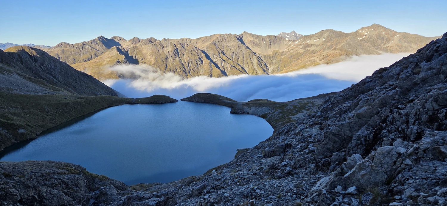
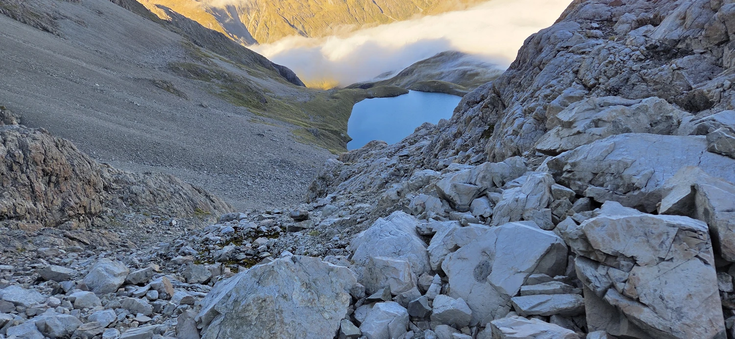
Once I got back down, we packed up camp and drank coffee while watching clouds clear out of the valley below. That quiet hour did more for me than the failed summit bid. On the way out, we stopped more than once to photograph Lake Mavis reflecting the mountains above it. The lake is impressively clear and, while extremely cold, would probably make a good swim on a genuinely hot day. On this trip I was content to admire that possibility from shore.
The walk back out was mostly uneventful, which after a weekend like this is exactly what you want. We took a short lunch break at Mingha Bivvy, then kept moving through the crossings and back toward the road. Near the car we stopped at the Bealey River for what I initially called a swim, though plunge is the more honest word. The water was viciously cold. It was the sort of dip that makes you question your choices while also making you feel weirdly alive.
Then we walked the last bit to the car, changed out of filthy clothes, and went off in search of a burger and a beer before heading home. As overnights go, Lake Mavis is a good one. The approach has enough river crossings and steep ground to keep it from feeling easy, the final climb is rougher than it looks, and the camp itself is excellent. That is usually enough for me.