The Leuthold couloir is the next step up on Mt Hood from the standard Hogsback-pearly gates route. It is nowhere near as technical as the Reid Glacier headwall. It is not on the level of the ice climbing routes that line Mount Hood. But, it offers a good amount of seclusion and some practice in route finding. I drove down and started the climb of Leuthold early on Sunday morning.
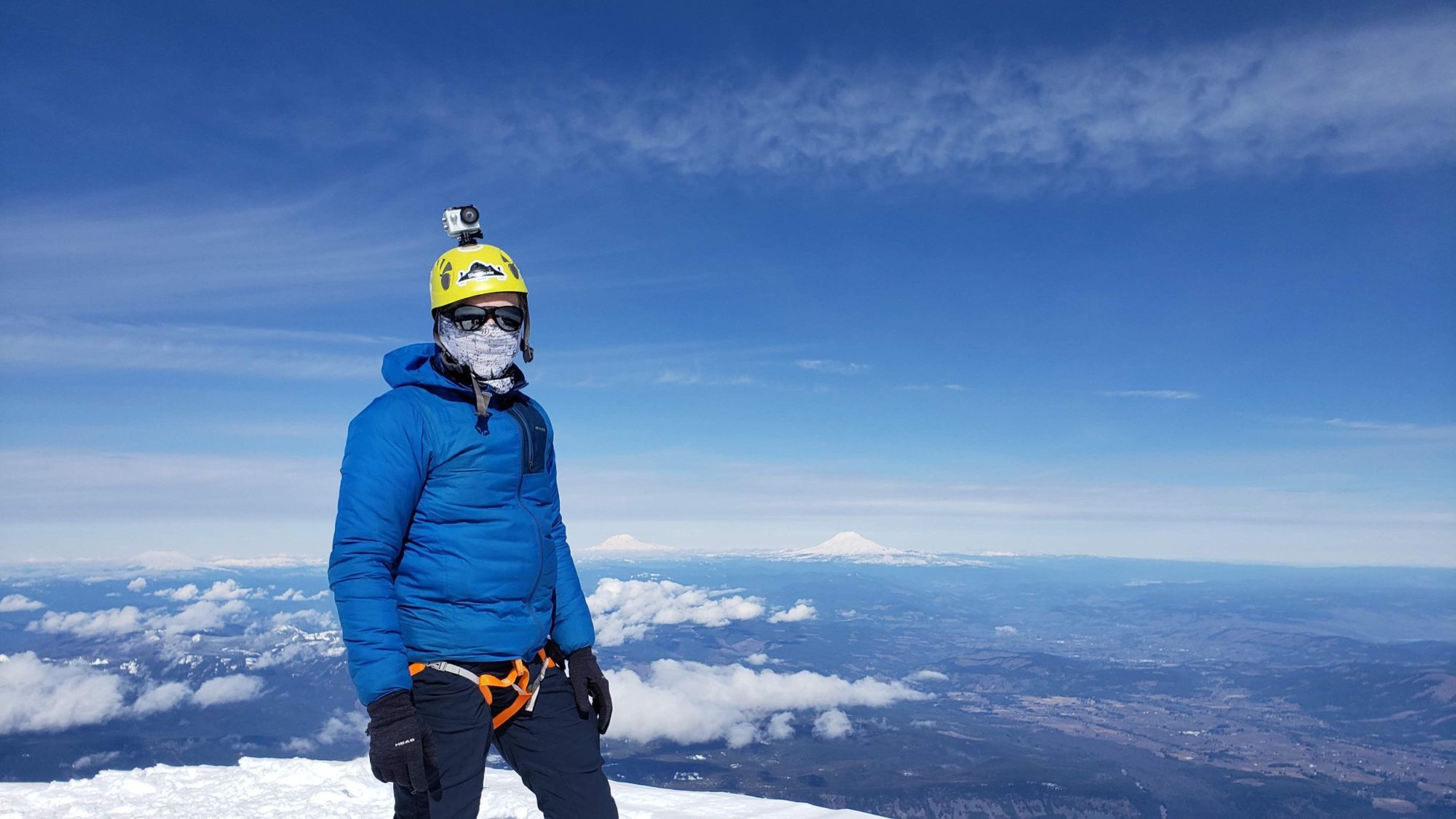
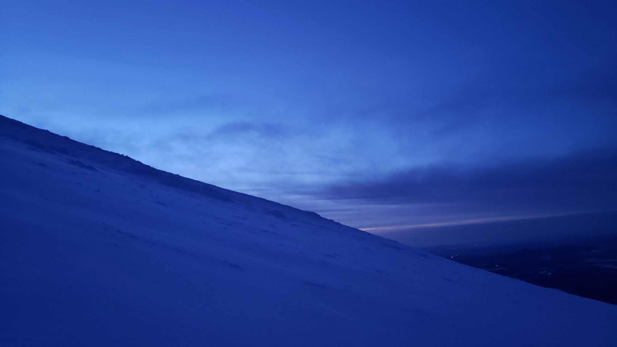
The first couple of hours climbing up to Palmer glacier were uneventful and quiet. By the time I arrived at the illumination saddle the sun was poking over the horizon. It was finally getting warm enough to have my face uncovered. In traditional Mount hood fashion there was a stream of climbers below me. I arrived at Illumination saddle around 6 am. From Illumination saddle it is a quick jaunt down to the start of Leuthold Couloir. Up to this point everything felt like it was going perfectly.

If you have researched this route you will already know that there are many couloirs in the basin with Leuthold. It is a common mistake for people to take the wrong one. I was sure that I could use the GPX file that I found on summitpost to navigate to the right one.
After finishing the route I can say that the route map they provide was off by a bit. While climbing I met another person who also knew that finding the right couloir is the hard part. Both of us after chatting agreed that we were at the right one. Still we were both wrong.
The topo map I have provided shows what should be the correct route. Make sure to walk all the way to the ridge after leaving Illumination saddle. Leuthold Couloir will be the last you come to.
The person I had met earlier, Sean, was right behind me at this point. We had both agreed as two solo climbers to stay close to each other for the day. That way we could avoid kicking stuff down on each other and help each other with route finding. We were the only two on the Leuthold Couloir route so it felt like a good plan.
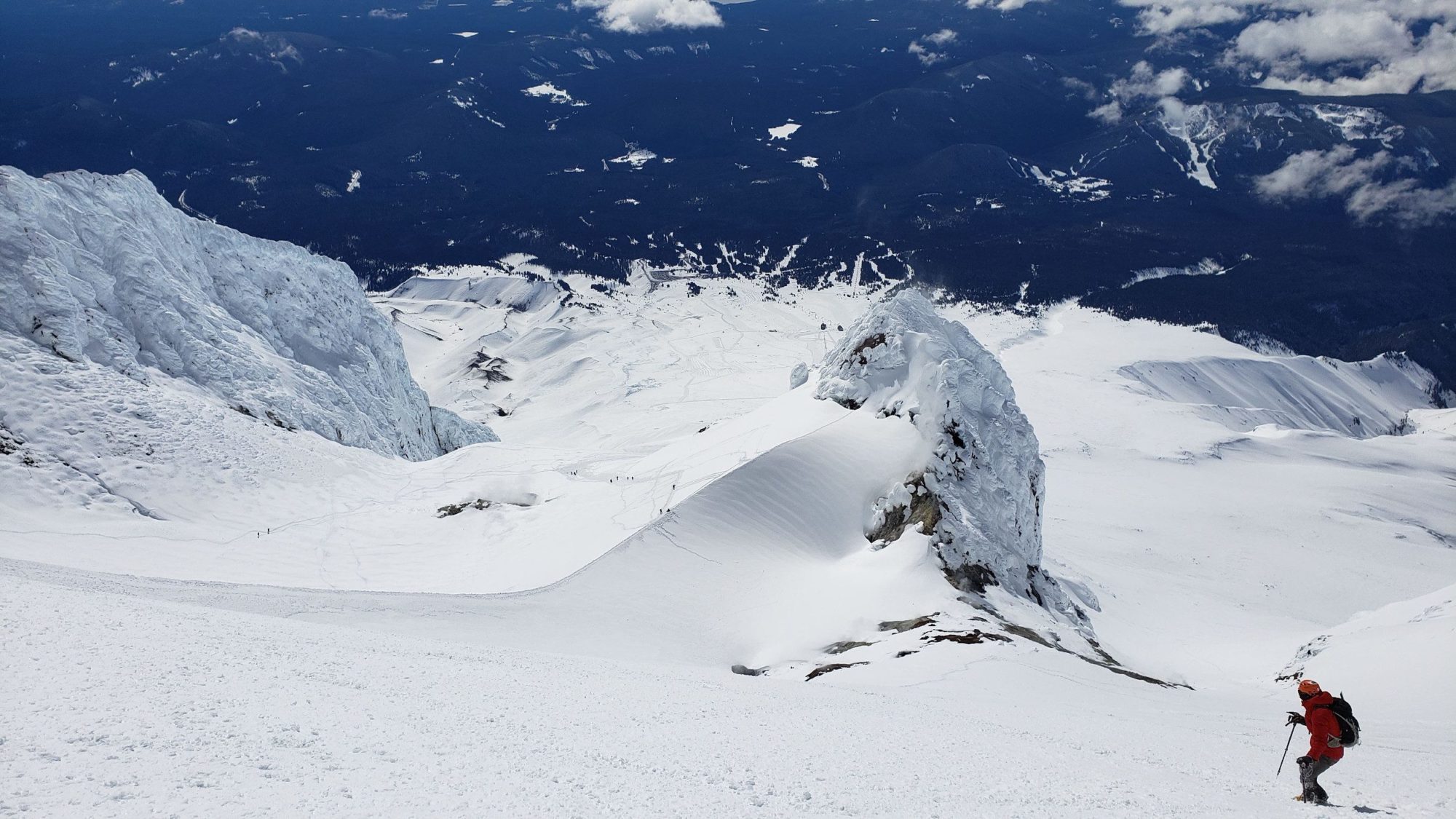
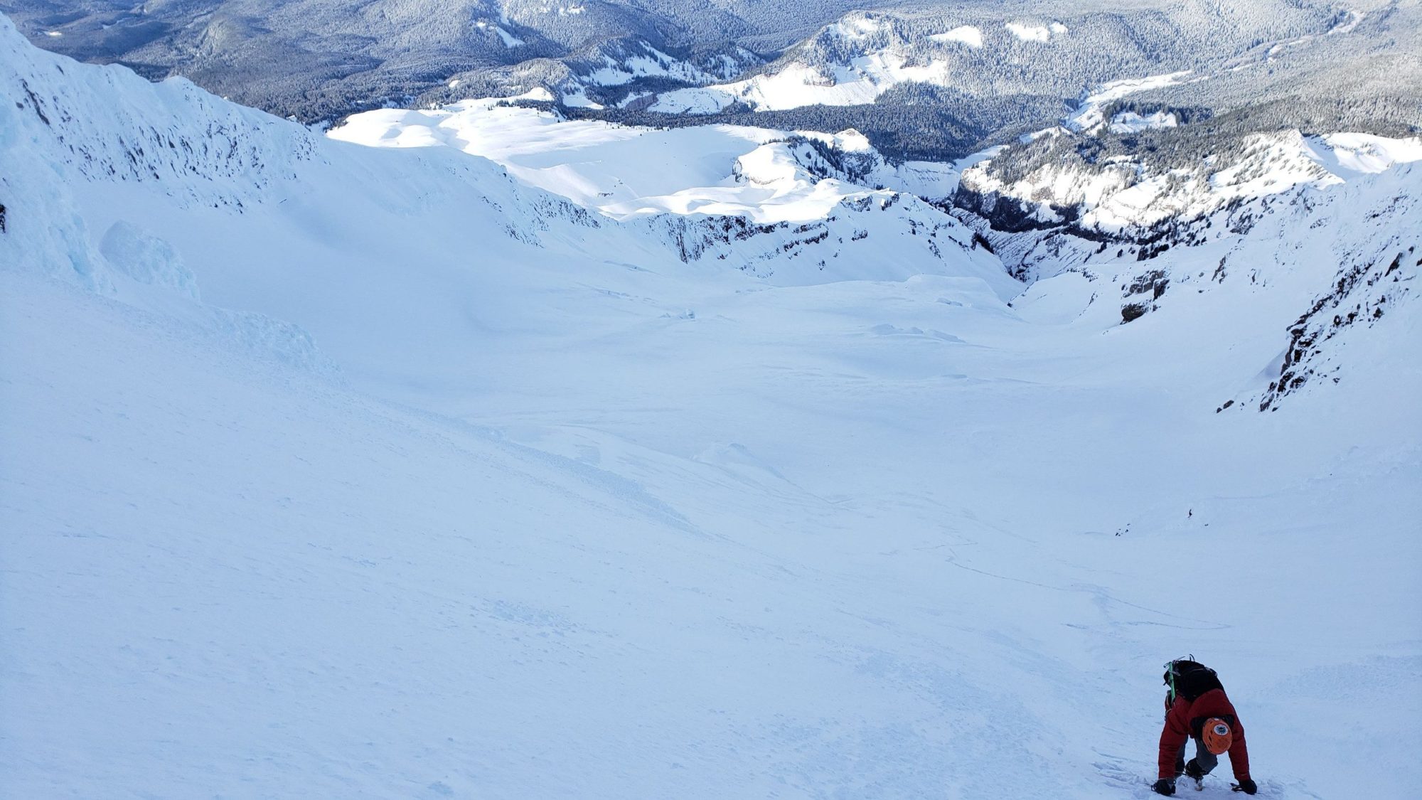
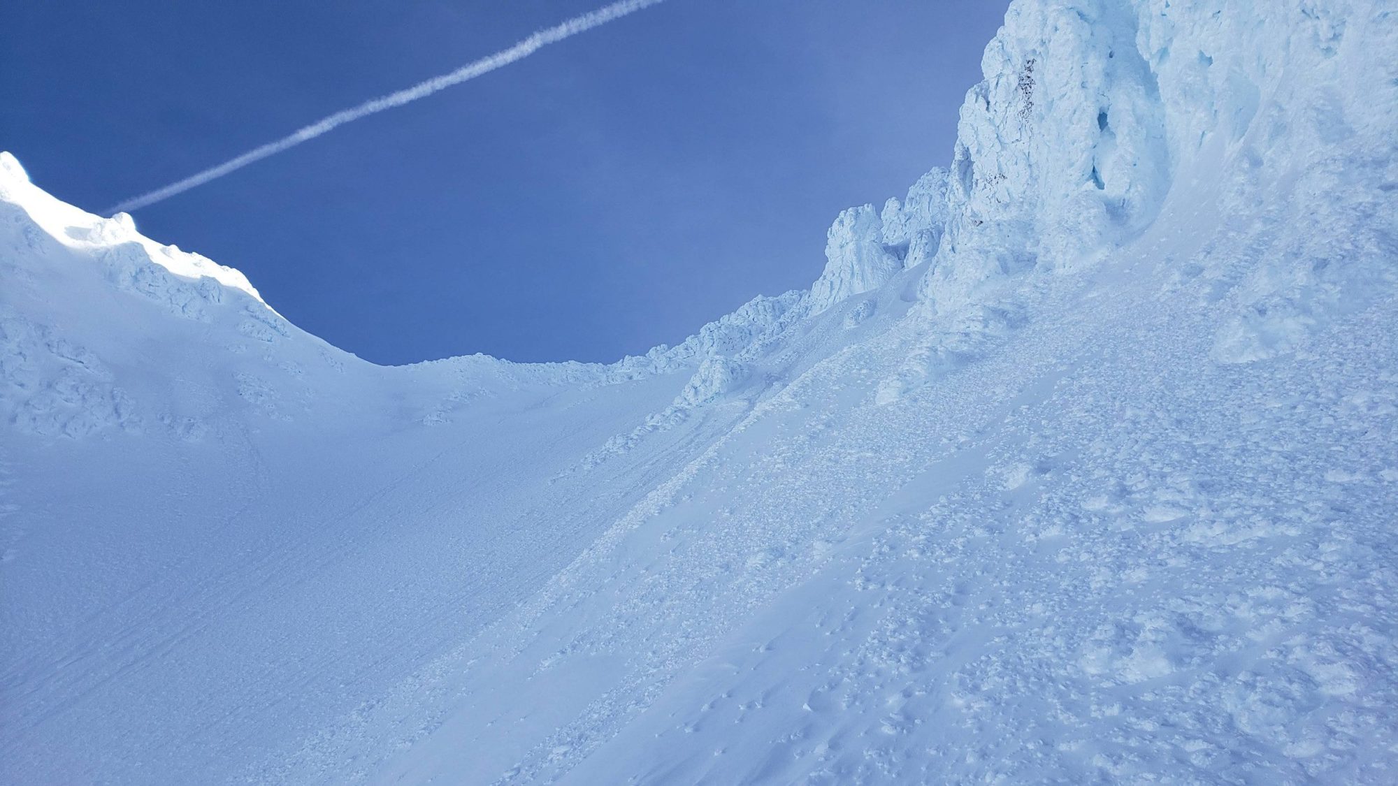
While I was free-climbing a section of ice I looked back to alert Sean that this way was not viable. As I did, he slipped and cascaded down the face of Mount Hood. From my perspective he just vanished into a cloud of white as snow shot up from his path. Luckily he stopped after 150 feet. He wasn’t injured and would finish the climb for the day. Please be careful to choose the right Couloir.
Once I was above the ice face that I managed to free climb, I knew this could not be the correct couloir. So, I managed to work my way left across the very steep snow slope I was on. There I found a view that looked very familiar from the route photos I had seen. Finally I knew I was in Leuthold Couloir.
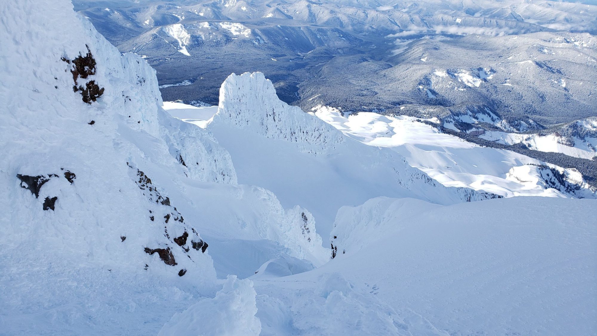
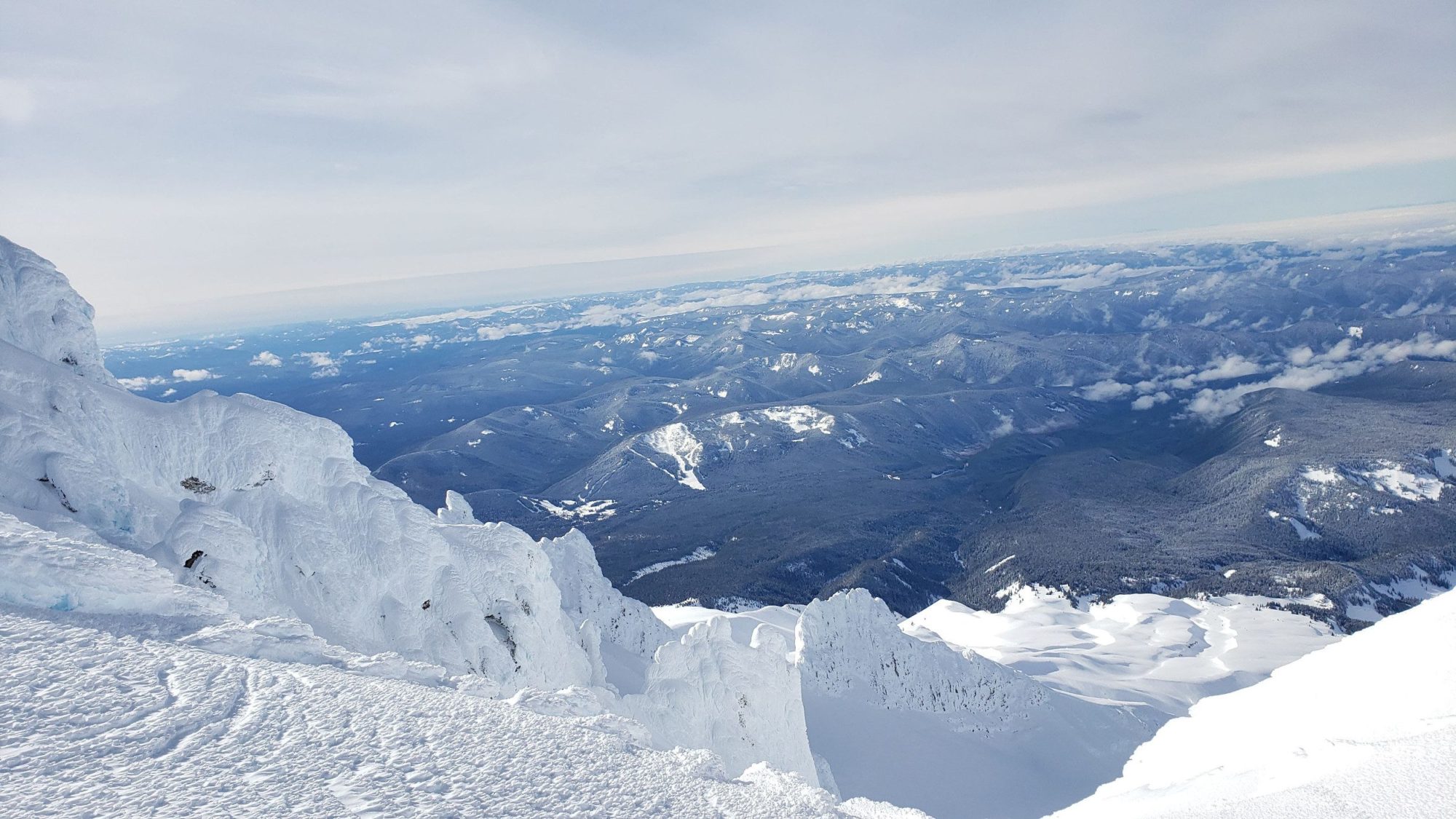
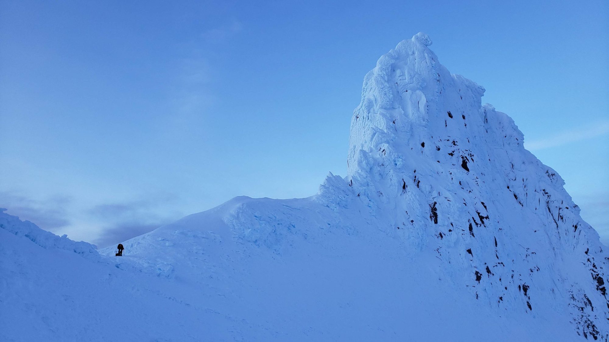
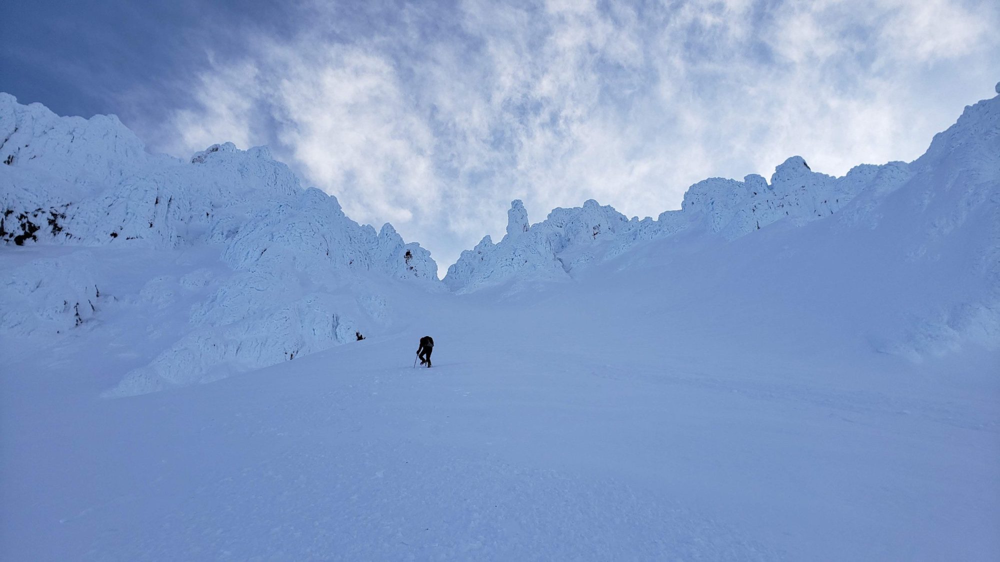
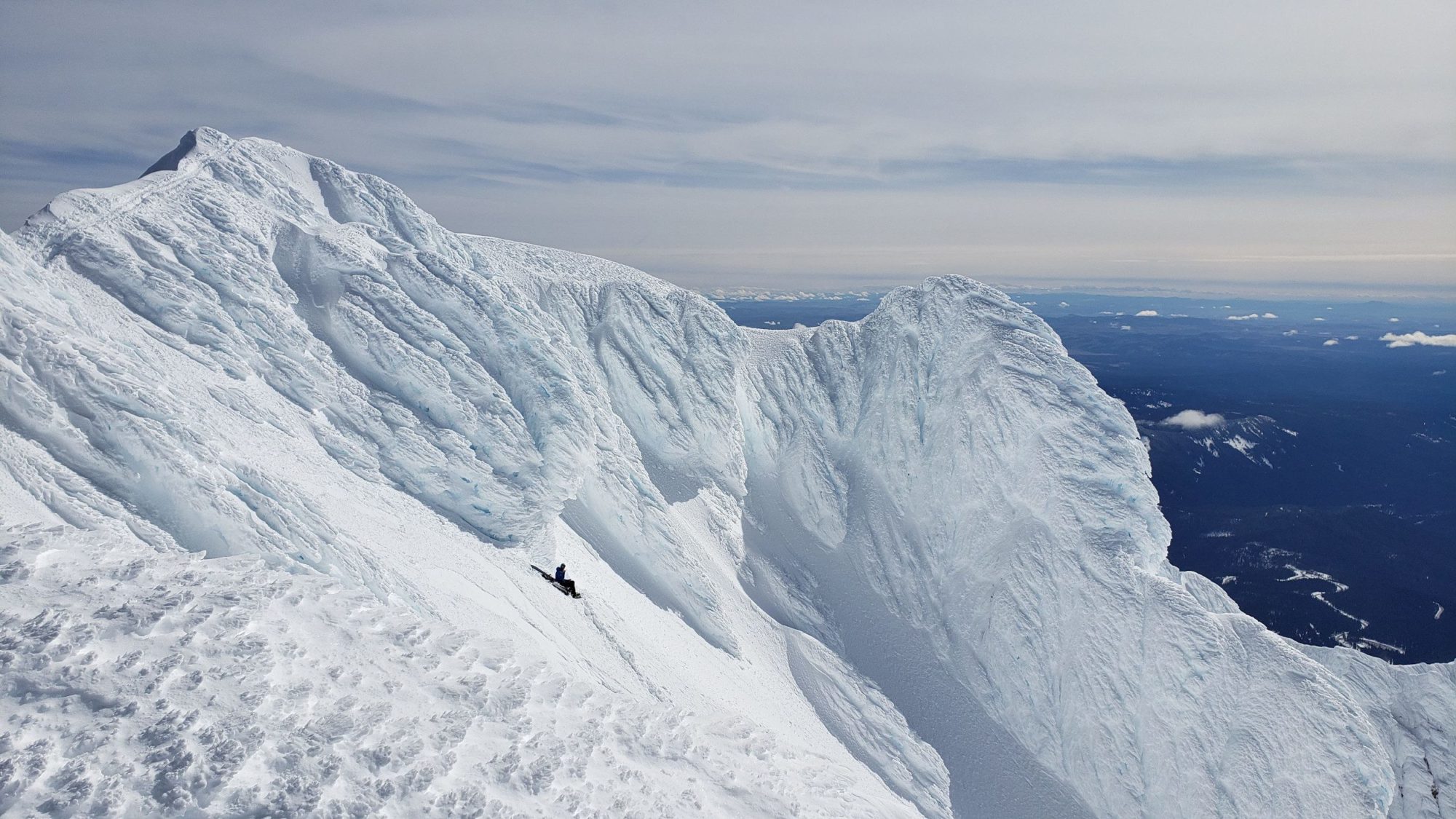
From here the route turned into the type of climbing that I had expected. A very wide steep couloir that leads up Mount Hood. On the way to the top of Leuthold couloir I continued to check the GPX file I had pulled off of summitpost.com. It became clear that the route drawn on the map was leading me toward a set of ice spires. Realizing these were going to be near impossible to climb solo, I kept to the left as most descriptions say. By doing this I managed to find a small ridge that leads to the north side of Mount Hood.
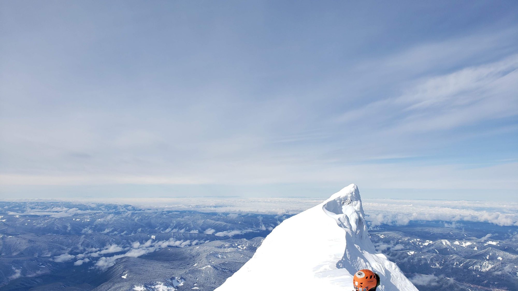
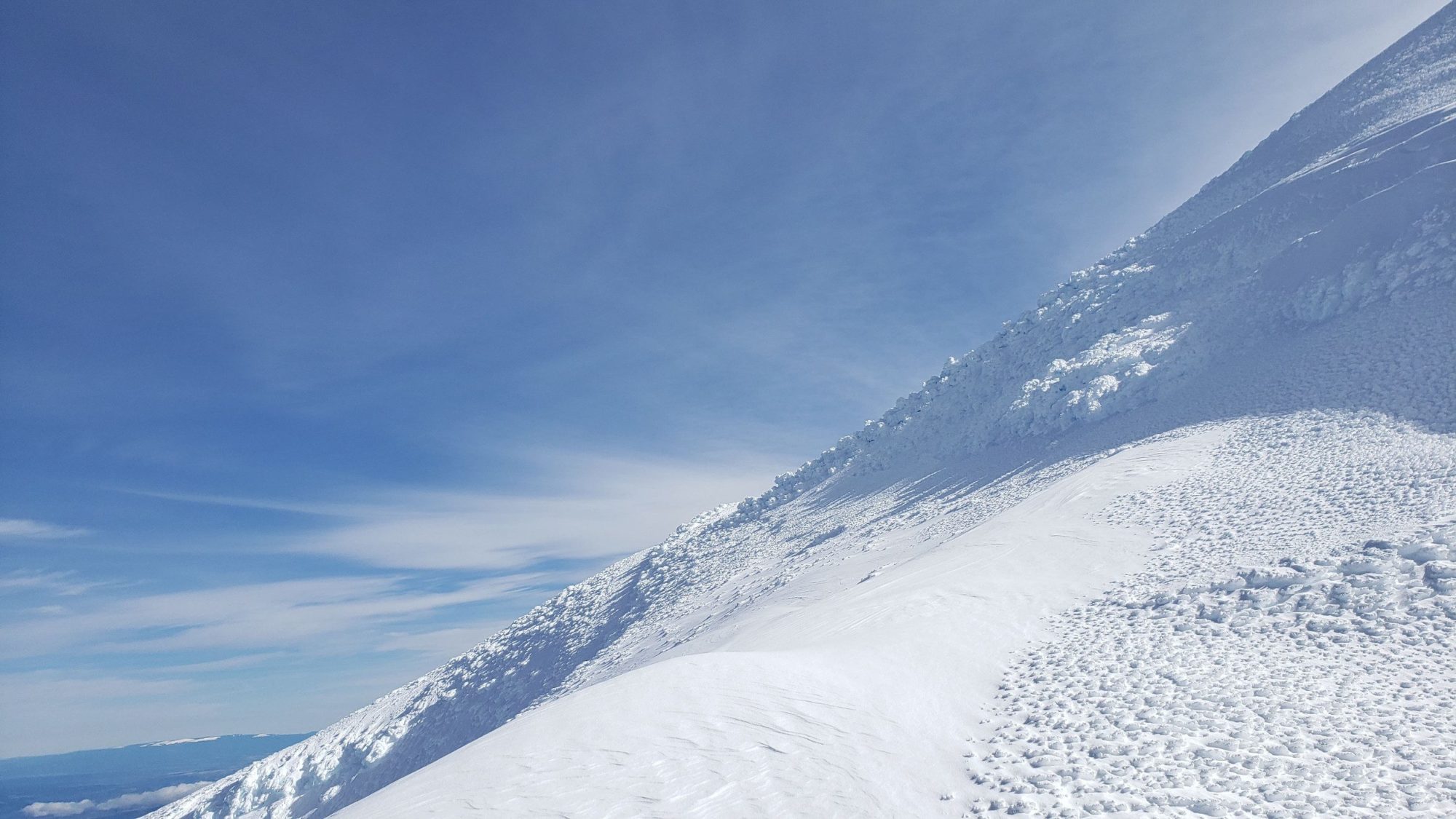
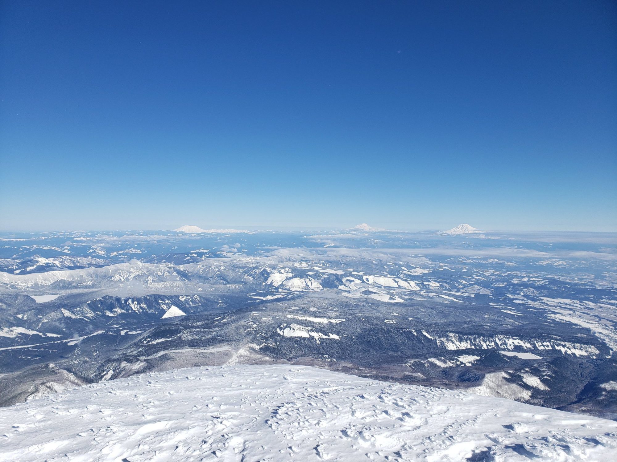
Once at the top of the Leuthold couloir, I chose to follow some easy contours on the map to meet with the North Ridge. Once the two routes meet up it is a steep but straightforward walk to the summit ridge.
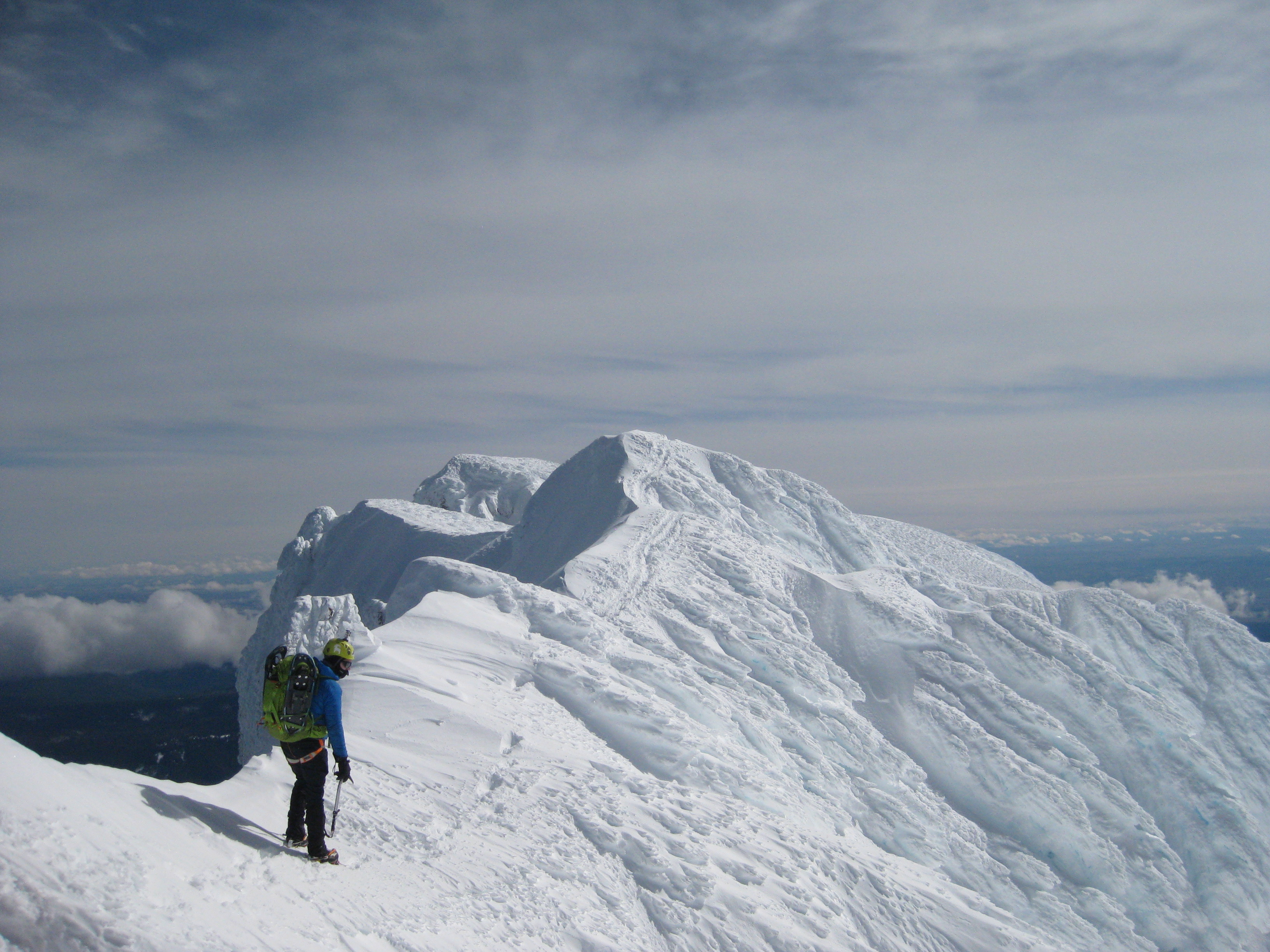
I know I didn’t follow the Leuthold Couloir route correctly, but, it doesn’t matter. I had a good day and made the summit. Sean and I also agreed to climb together in the future. I can’t complain when I got a fun day and a new climbing partner. If you go for this route study it before going. If the route does not seem right, turn back. It should be steep but straightforward.