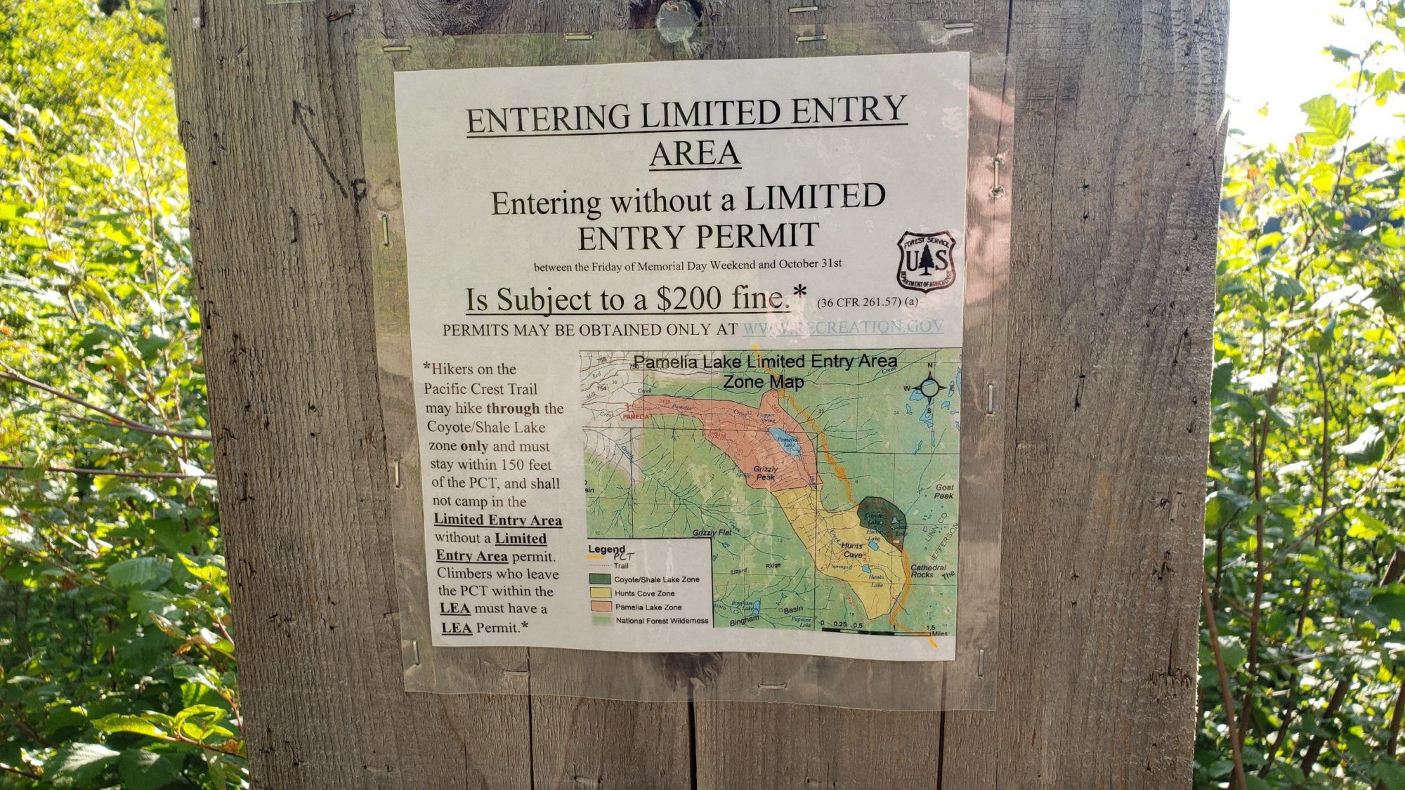
This year I am feeling the itch of Oregon. So, for summer I planned to get Oregon’s 3 Highest peaks done in one year. With Mount Hood already accomplished that left Jefferson and South Sister. After Planning it out I felt if I used the southwest ridge on Mt Jefferson, then I could do both in two days. If you want to follow in my footsteps, then make sure you have a permit for the Pamelia Lake area.
By Washington standards, getting the permit for the entry point was a breeze. After making the long drive down on a Friday night from Seattle, I set up my bed in the back of my Rav 4. I slept for 3 hours and woke up to start the climb.

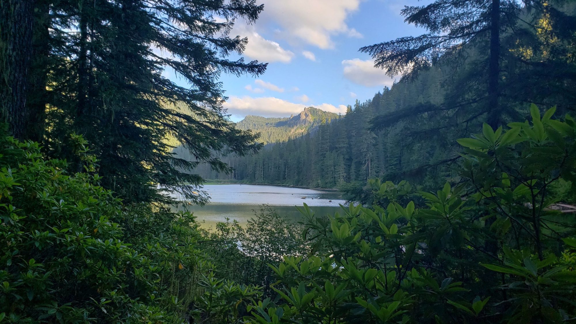
The hike up to Pamelia lake and the connection the PCT is easy. But, finding the route to get onto the southwest ridge was where I encountered my first issue of the day. Using a rough map that I found on Summit Post, I attempted to draw a map to follow that would lead me up the ridge. The area I had marked to turn off the PCT turned out to be a steep run of forest that I could not work through. Instead I continued along the trail. After a 1/4 mile more I came to a large clearing that seemed to be an avalanche chute.
After a brief rest for a check of my map and a gulp of water I looked up into the clearing. I settled on using the chute to move uphill to find the first opening that I could use to access Mt Jefferson’s southwest ridge. Around 200 ft up the chute, I found a good spot and attained the ridge.

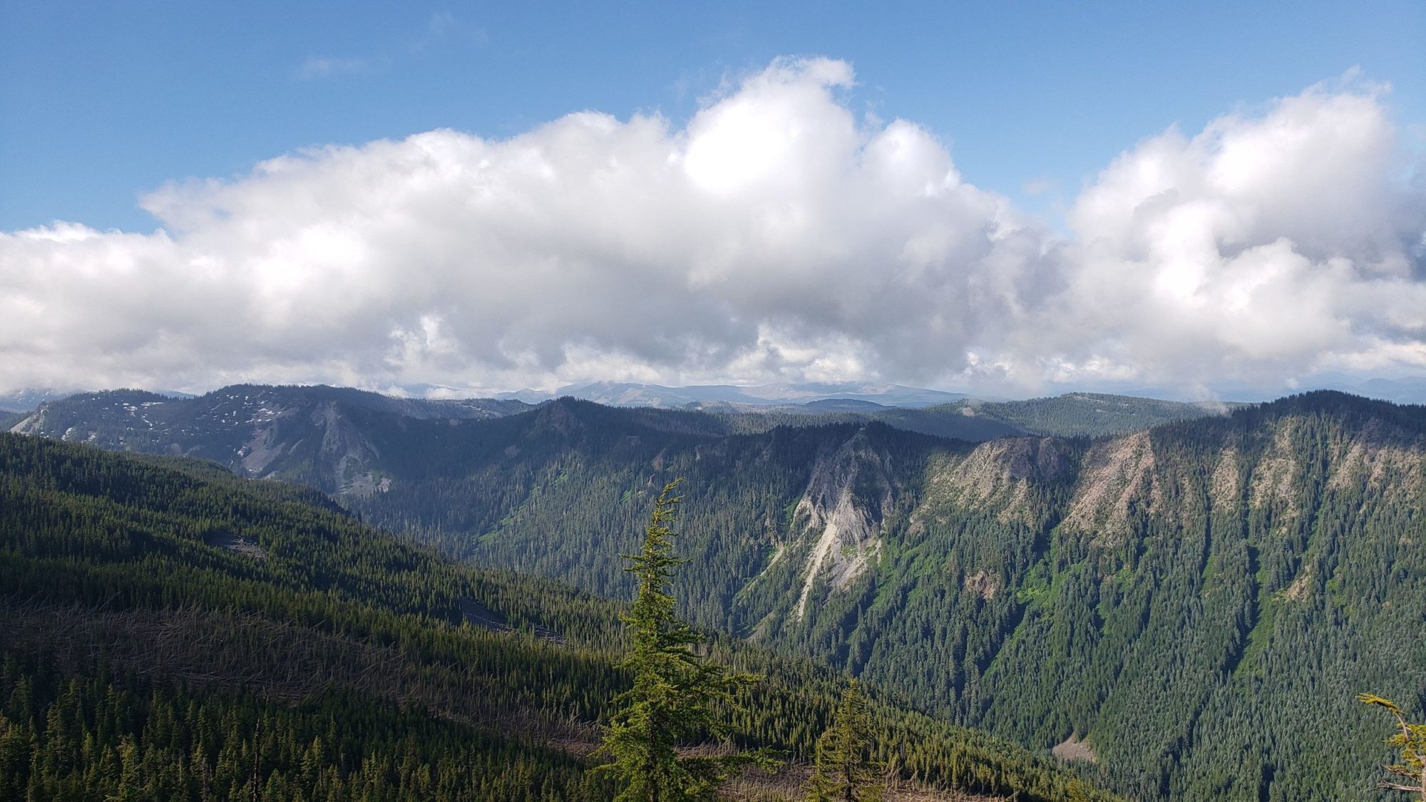
Once you get onto Mt Jefferson’s southwest ridge you will find it is difficult. It provides an ongoing stream of loose rock, snow-fields, and route finding. On the upper part of the ridge there is some scrambling that is around class 2 or 3. This slow long slog will be the next several hours of the day until you reach 10,000 ft.
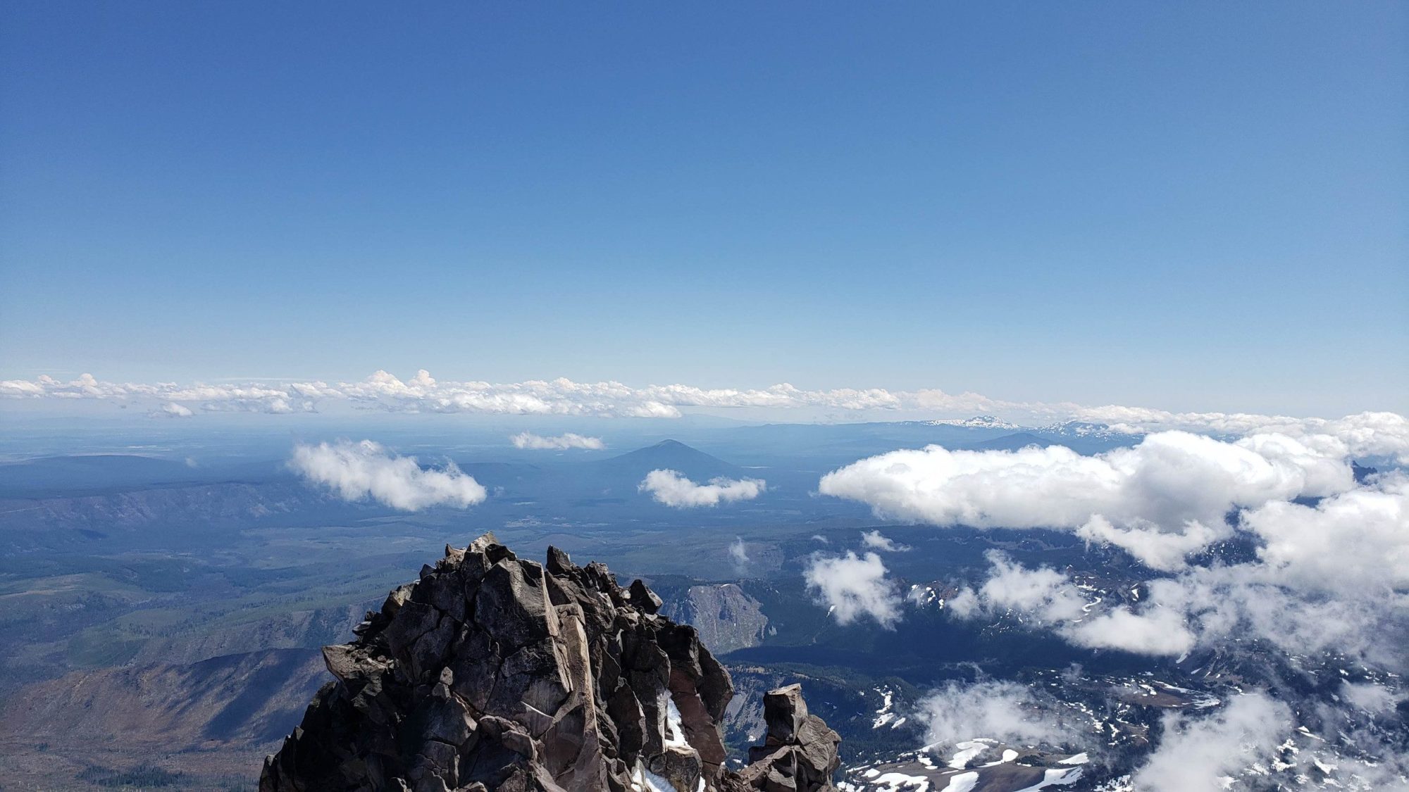
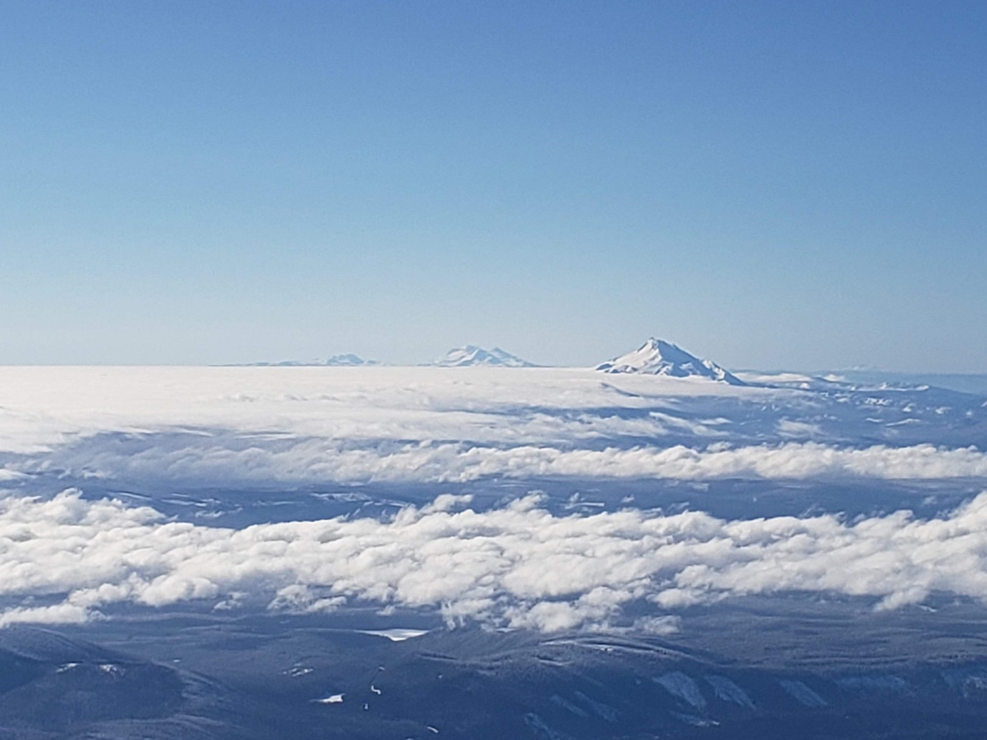
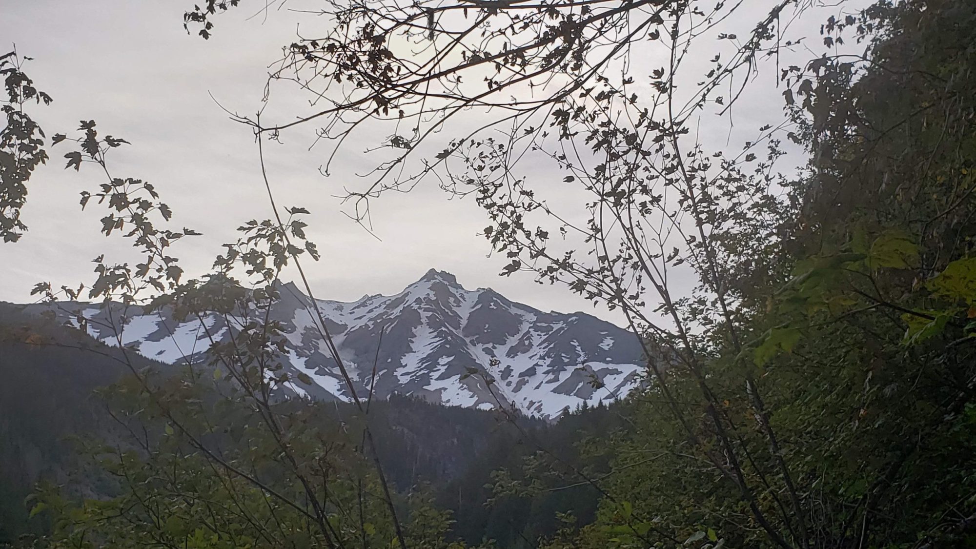
None of the climbing here is interesting in any particular way. Just some steep snow, occasional easy scrambling and some excellent views to the south of Mount Jefferson.
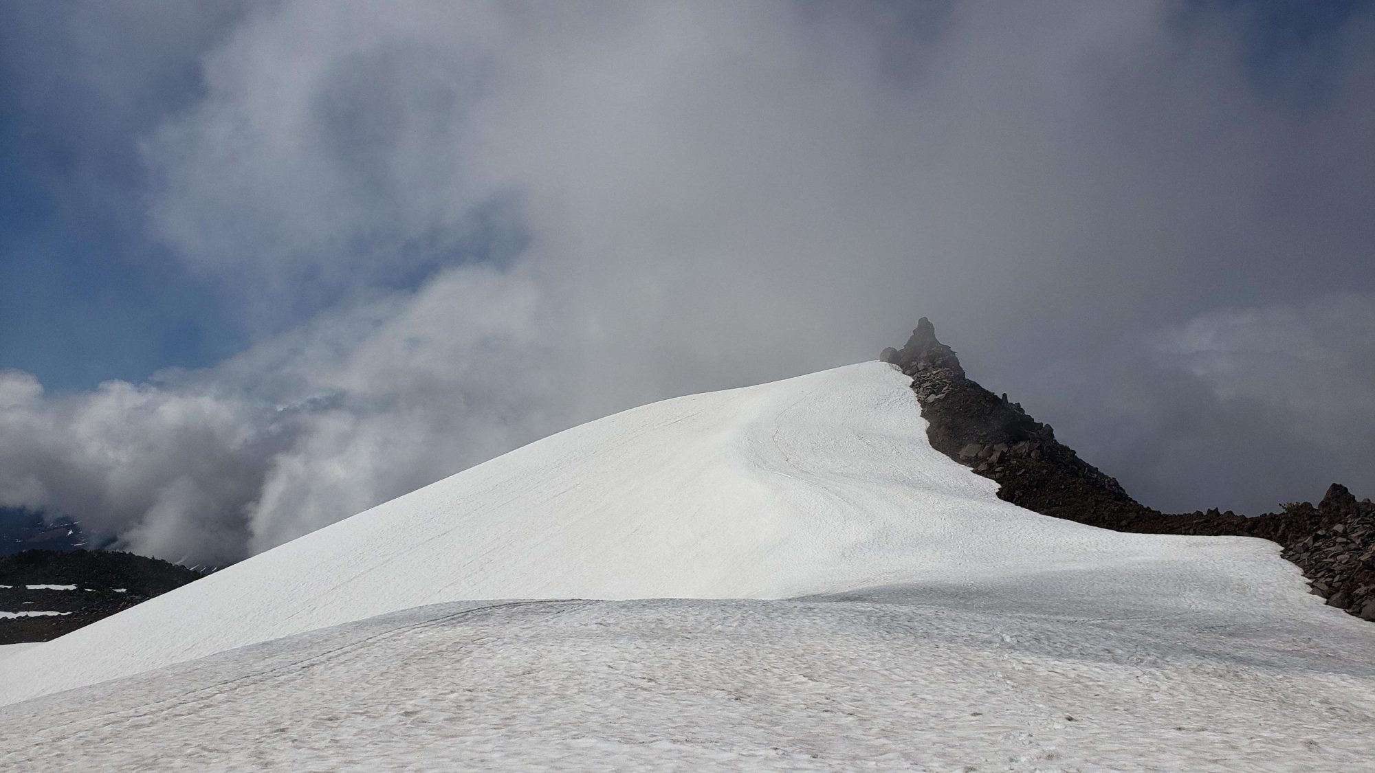
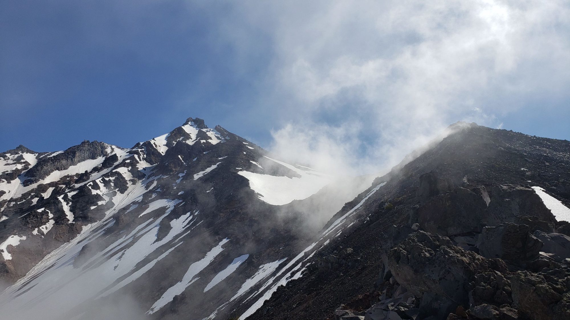
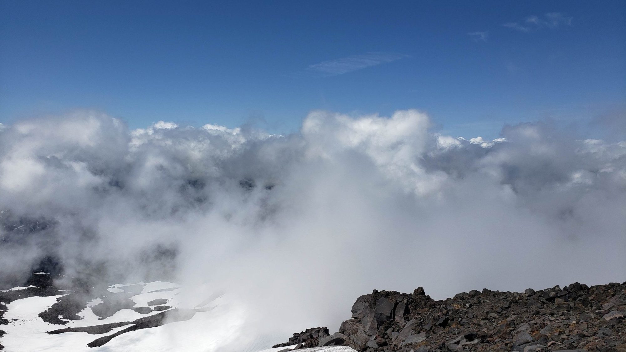
To the south of Mt Jefferson’s summit there is a small pass where the infamous snowfield traverse lies. I had seen photos of it. I had looked at maps of it. Nothing though could have prepared me for the monumental precipice that it is. The solitude I was enjoying became clear. In these moments in it almost like I can smell the tension in myself. Yet, I find it addicting and cannot get enough of it.
I’m not sure what the actual exposure is on the traverse, but it looks like 1000 feet or more. This is by far the crux of using the southwest ridge on Mt Jefferson. It was getting late in the day and the snow had turned into mashed potatoes. If you enlarge the photo below, I have drawn a yellow line to try and show the traverse route.
When you go for this route, know that the traverse is steep and some will find it tough to stomach. I do well with exposure and even I had my moments on it.


Working across the snow slope was a tense 20 minutes. One step at a time I made it to the other side where I encountered the first people I saw all day. It was a large group of 8 and the leader immediately looked at me with a questioning stare.
He informed me that they had kicked steps all the way to the top for which I was grateful. During our conversation he expressed surprise at my attempt to complete the climb in a day. He wished me luck and said I was within a few minutes of the top.

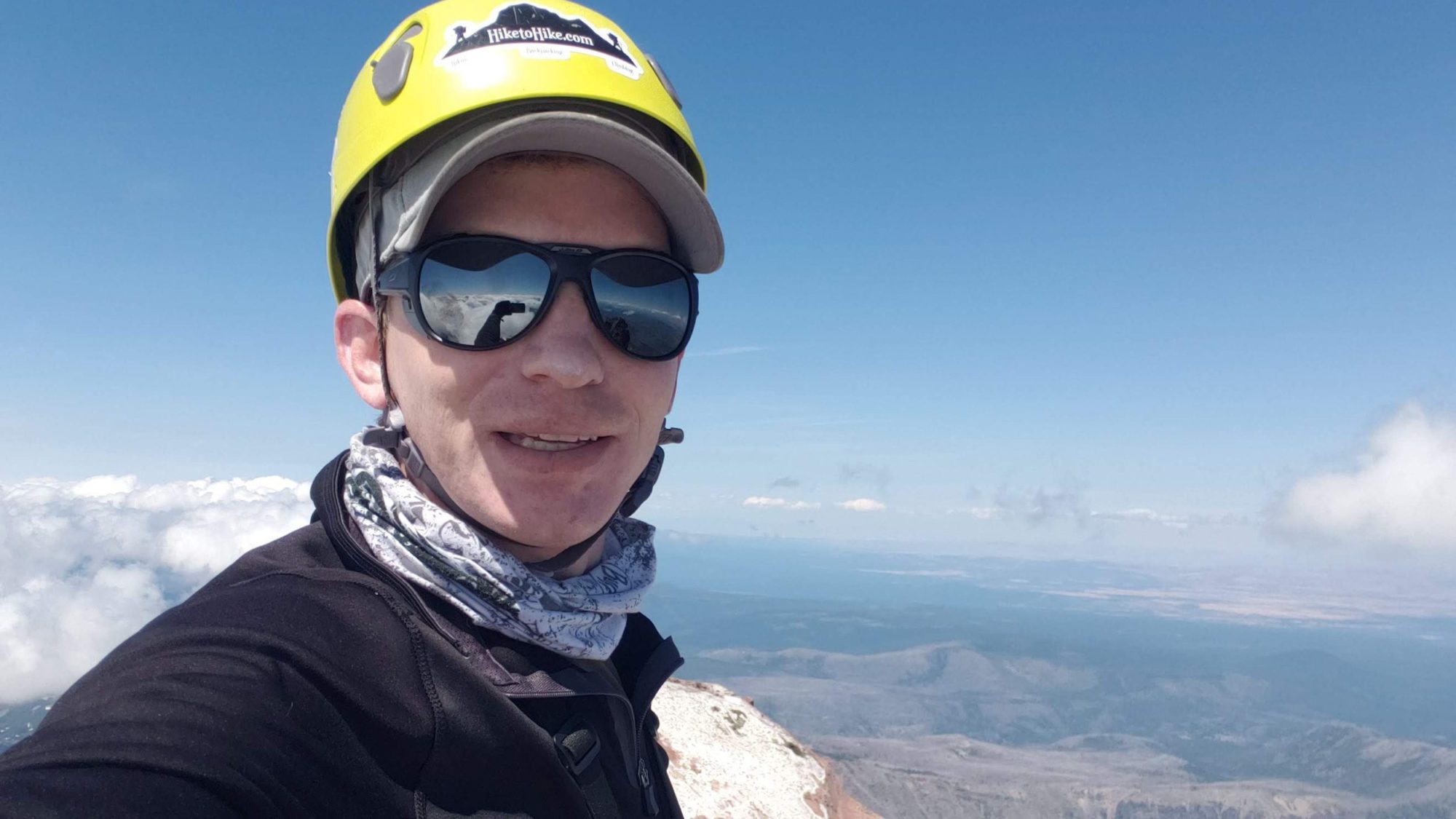
The final push is still snow and ice-covered. The rocks which I thought I would have to scramble were far easier to navigate this way. The summit scramble is class 3-4 and I did not find that difficult. But, the last 20 feet or so was bare rock.
With a 45 mph wind blowing around it was tough to keep myself stable. I don’t know if this wind is normal up here but it was fierce. Upon making it to the summit, Mt Jefferson greeted me with several strong gusts. Past climbers had left anchors in place that I ended up using for my less than 5-minute stay. The tough part was still ahead though.
From the summit it is around 7.5 miles back to the car with 7500 ft of elevation loss. If you want to try it in one day like I did, prep for pain. Yet, there is plenty of places to camp along this route or others if you choose to make it a two or three day. I still had a South Sister climb for the next day, so I headed for the car.