My plan was to drive to the climb of South Sister immediately after summiting Mt Jefferson. I made one quick stop in Bend and caught one of the last open breweries for the day. Then I rushed myself over to the parking lot for South Sister. The drive between the two peaks is only about an hour. With my stop it took me close to two. By the time I was starting the climb of South Sister in the morning, I had slept a meager 4 hours. Waking up was difficult. I knew I had saved the easier of these two peaks for the second day. So I forced myself out of my makeshift bed. I strapped on my boots stretched and got my backpack on before I could think too hard about it. Be sure to fill out your permit . They are self issue and I had mine checked twice. They will give tickets.
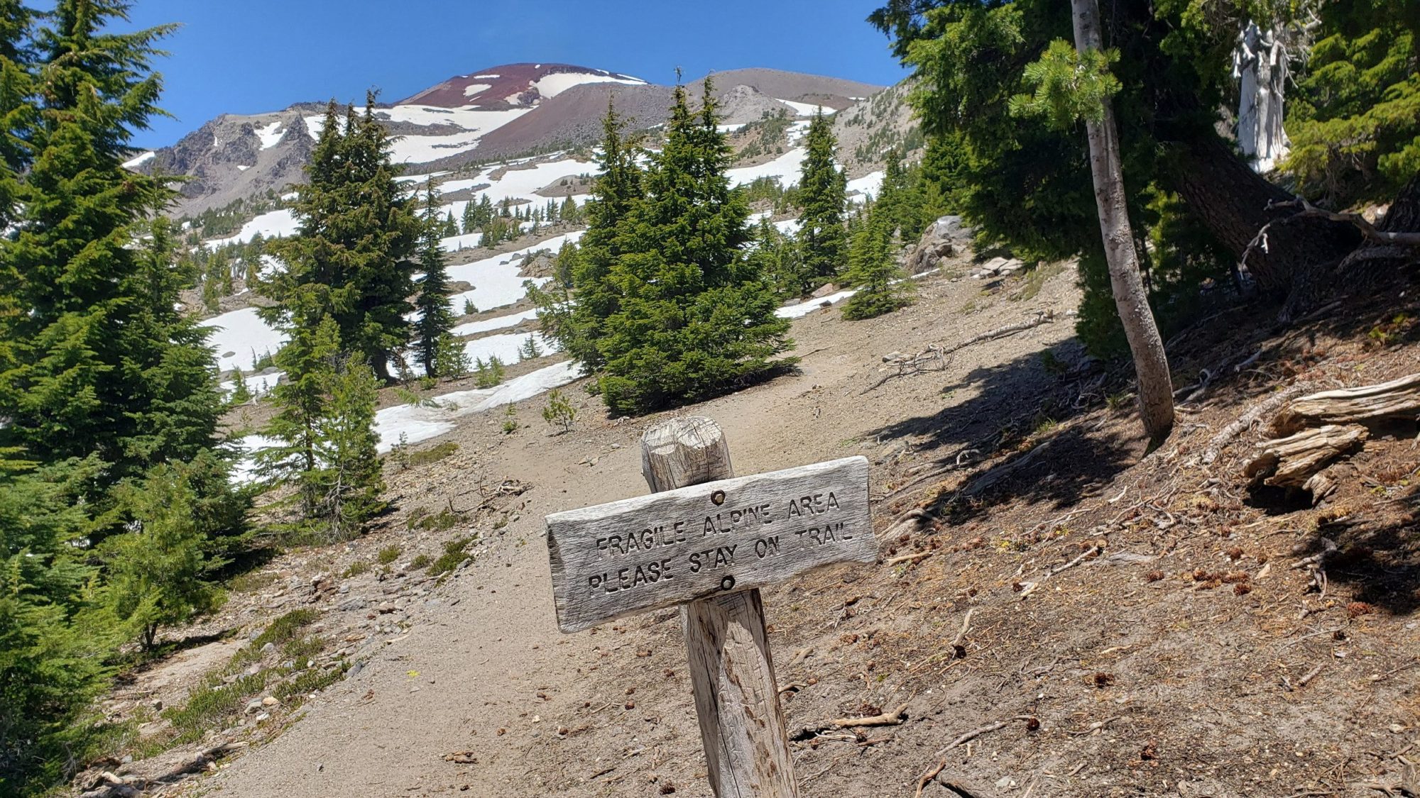
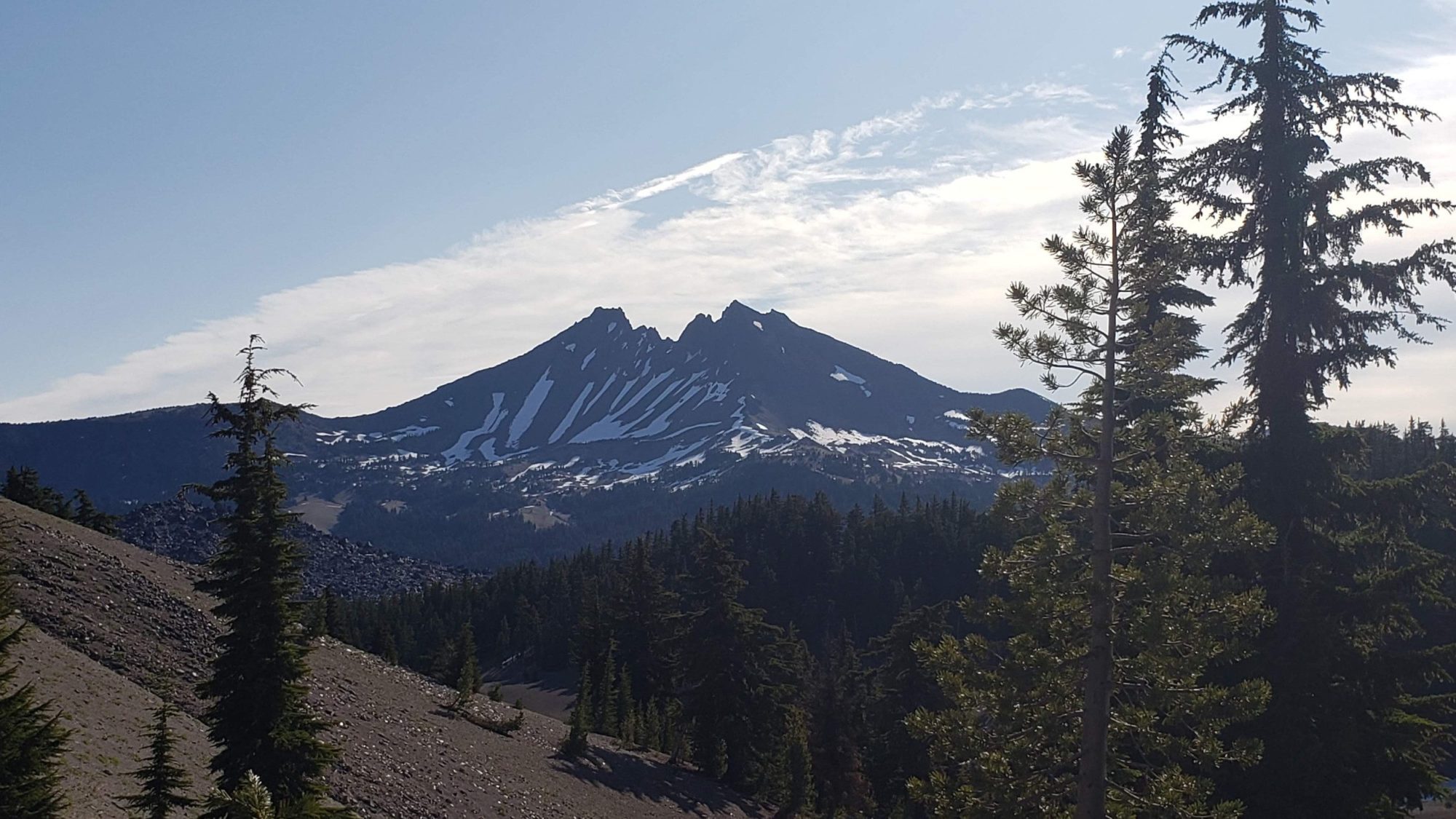
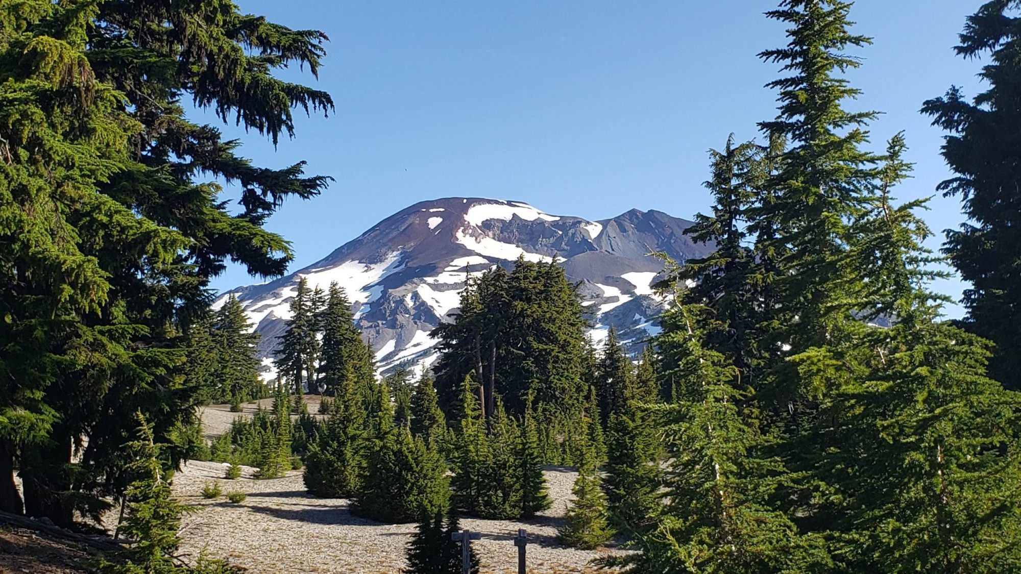
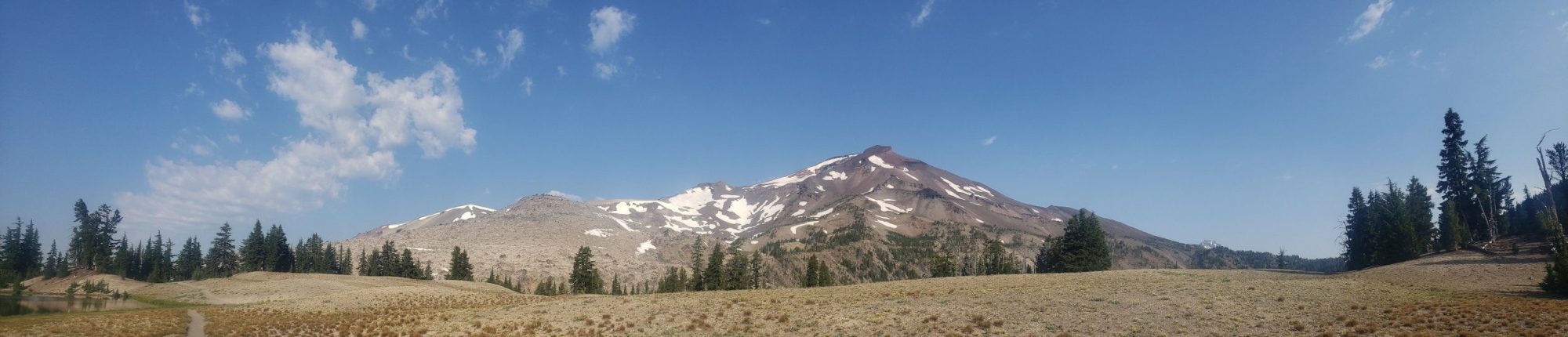
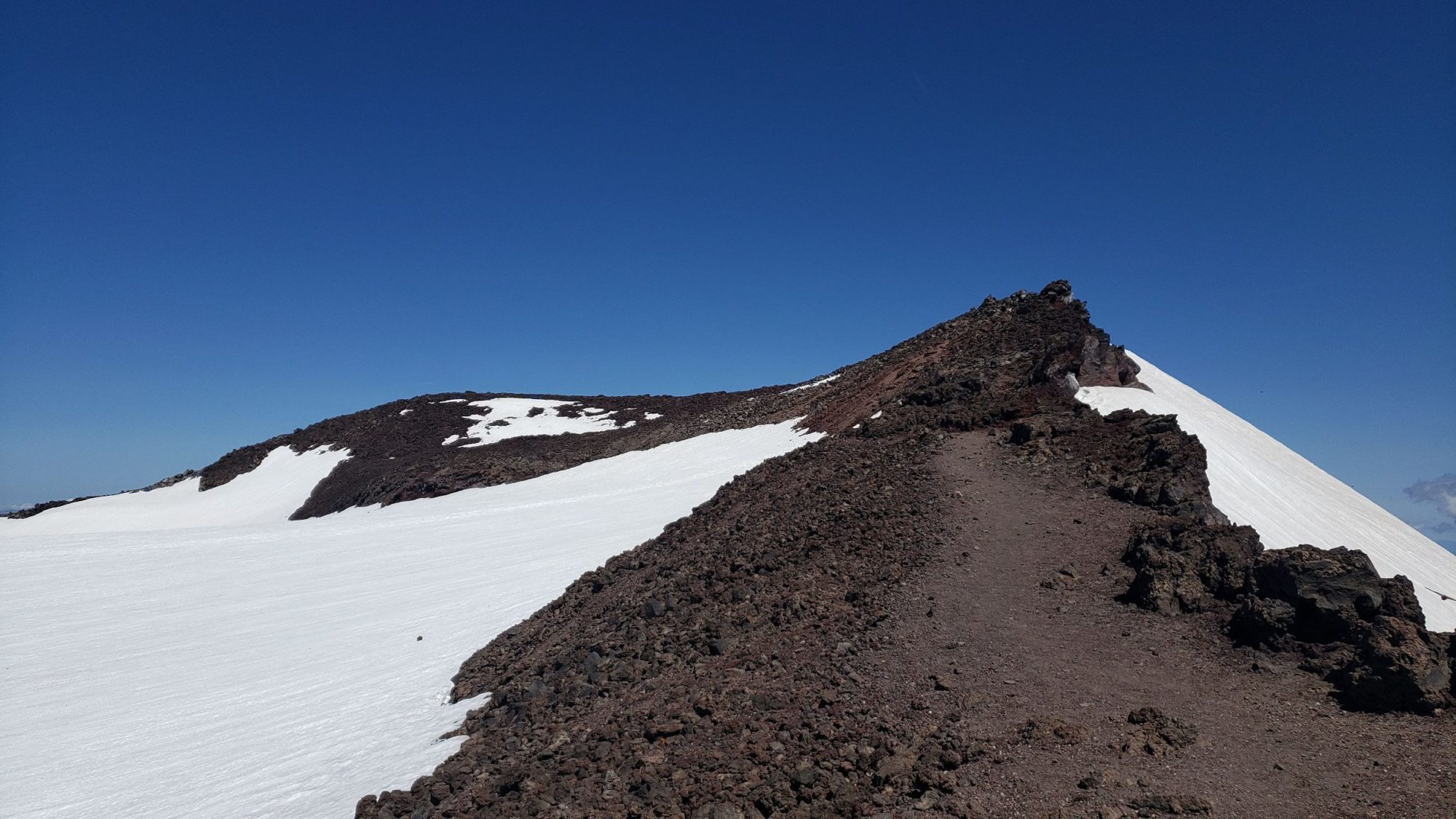
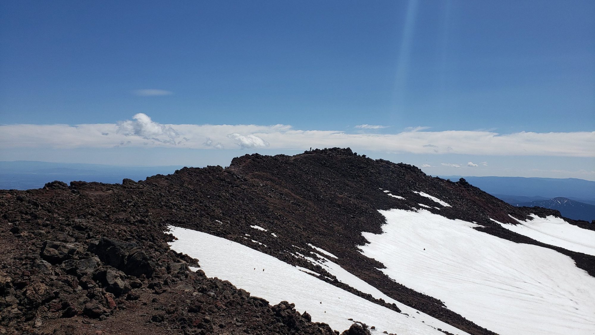
The first 2 miles of the climb up South Sister was tough. The route starts off going immediately uphill after crossing the highway. As I climbed slowly through the woods, I could feel Jefferson’s scree fields wearing on my knees. I pushed on hoping the view would open up soon and ease my pains. A couple of miles through woods the Climbing trail levels out and South Sister comes into view. From here the rest of the day is on a climbers trail. Be sure to watch for signs and stay on the trail.
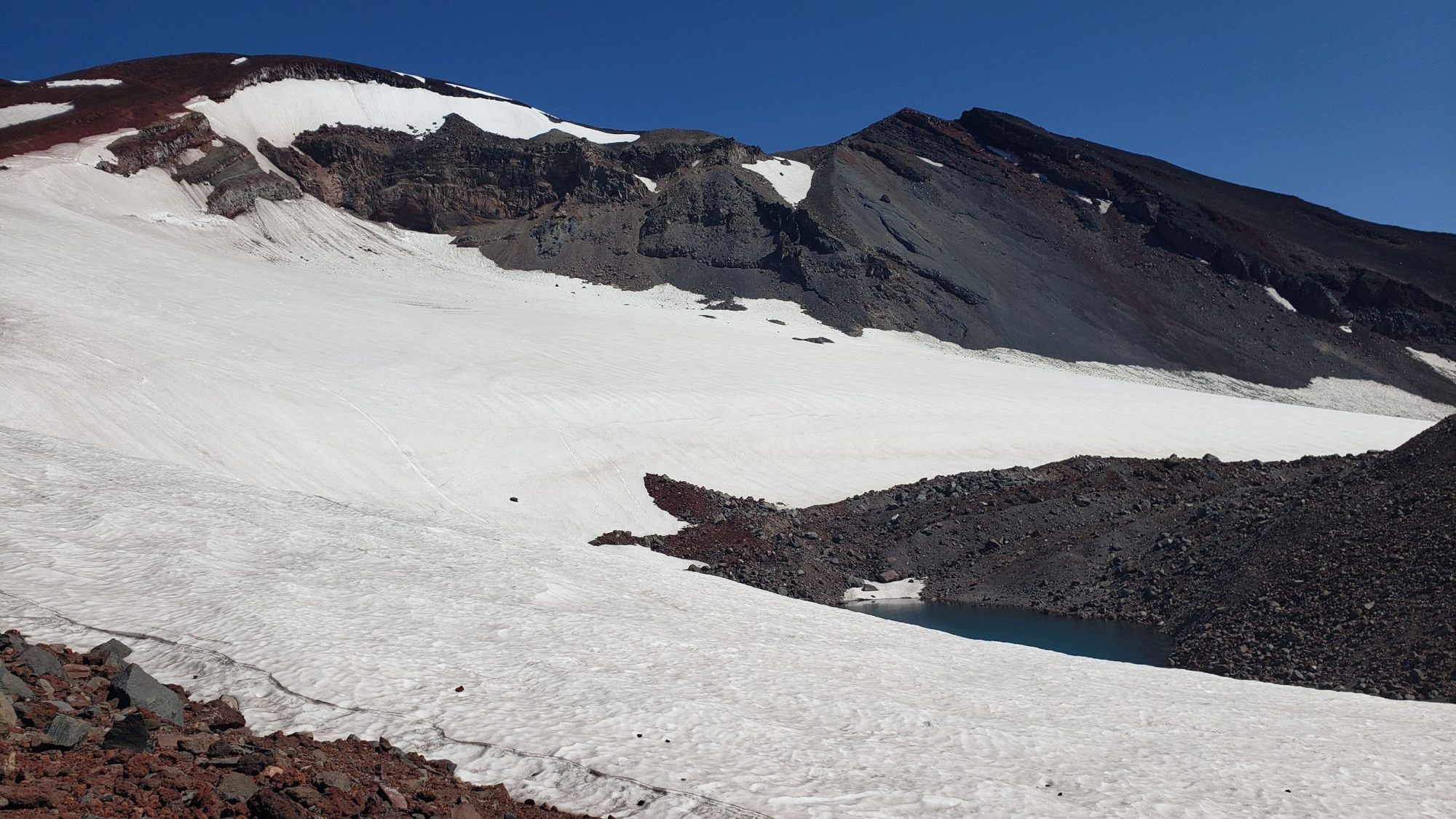
After the SW ridge route on Jefferson, having a distinct trail all the way to the top was a welcomed relief. South Sister is steep and challenging in its own right but at least the way is well-cut. As far as a volcano goes on the west coast, the climb of South Sister is easy.
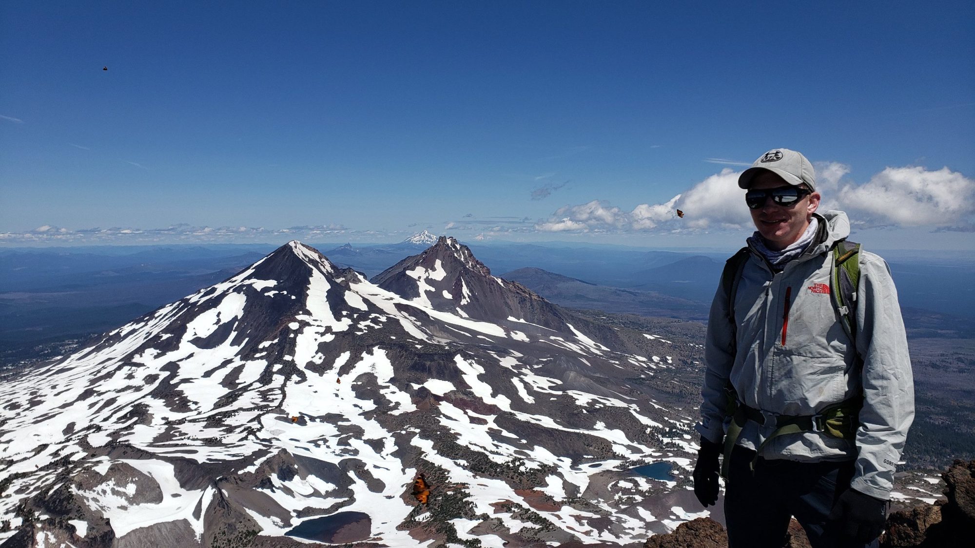
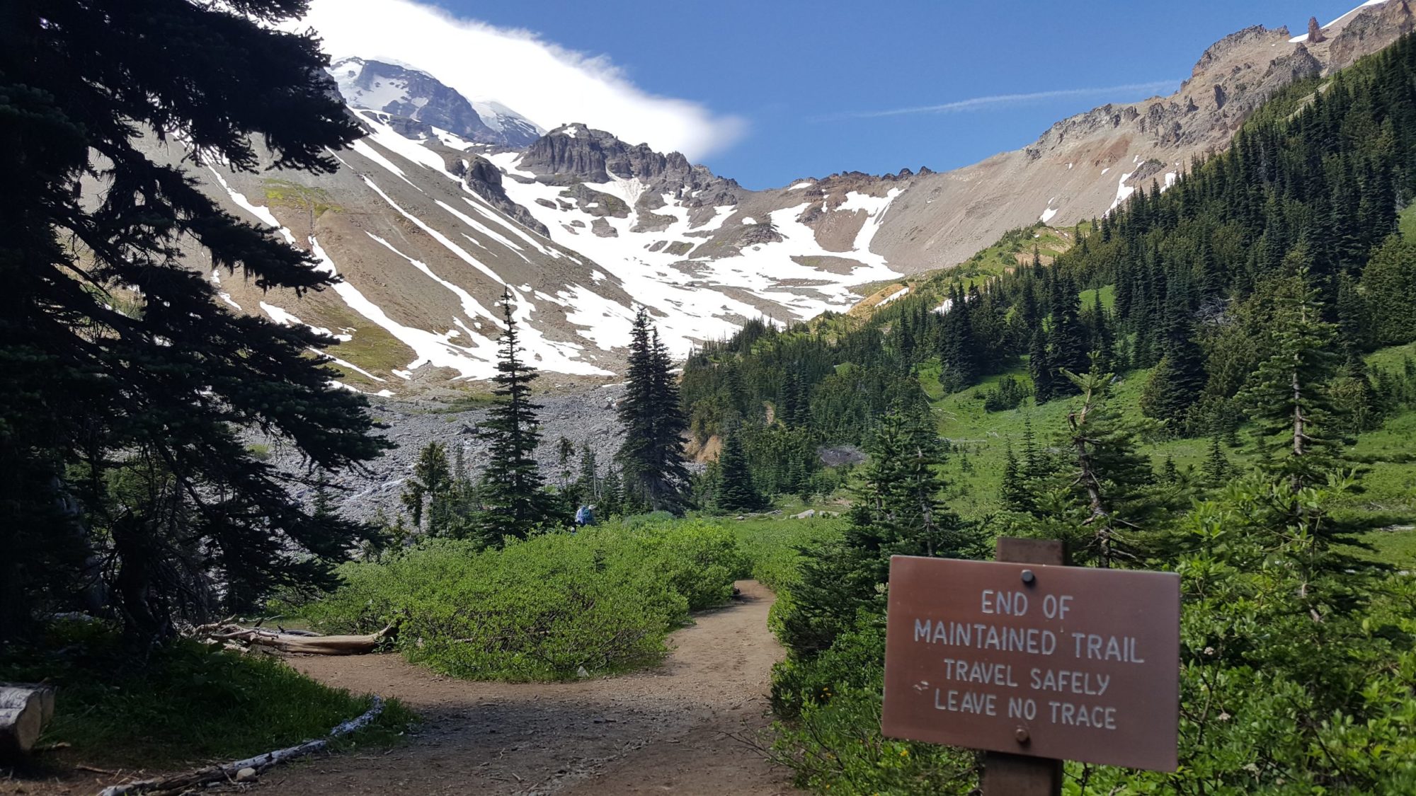
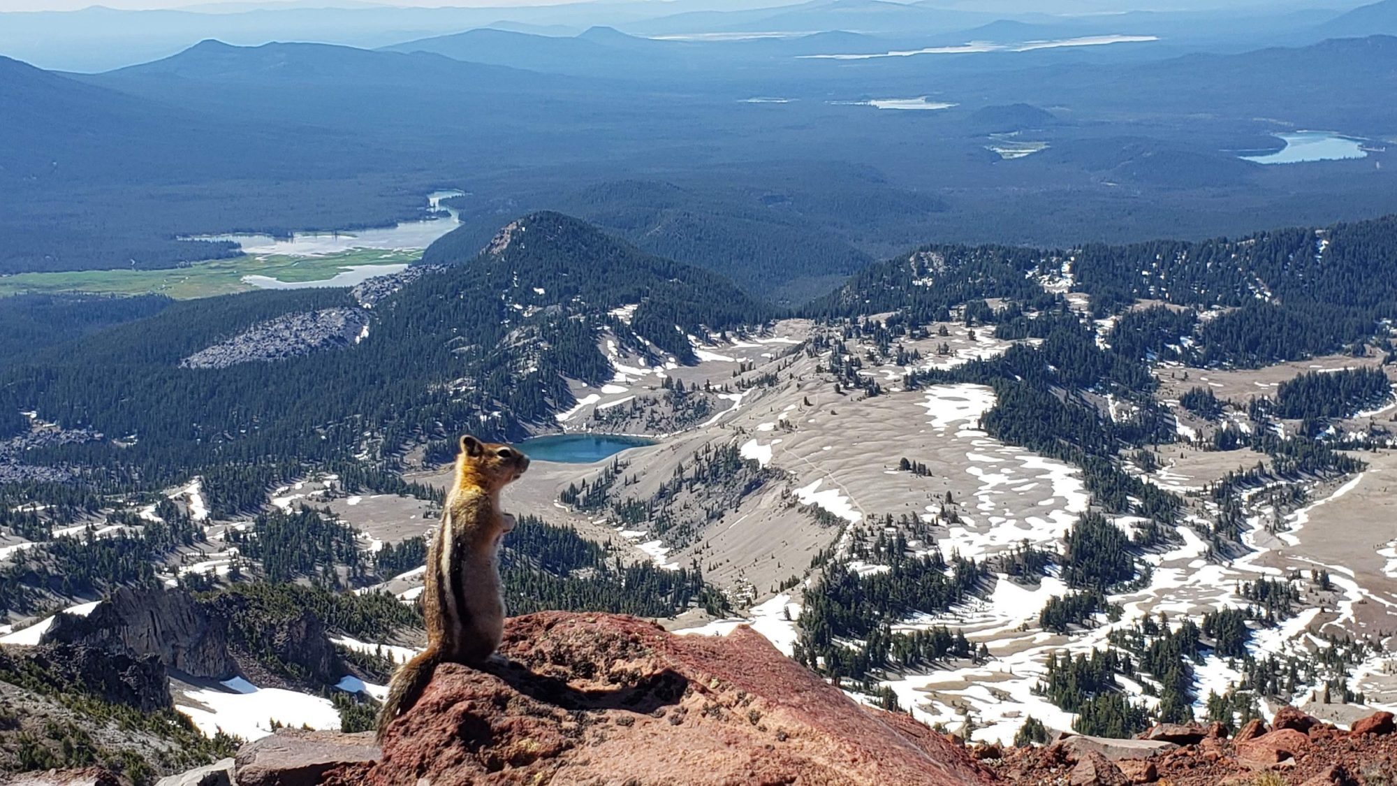
Do be aware of the elevation gain and watch for signs of altitude sickness. You are still over 10,000 ft and altitude sickness can be disorienting. how to help or others if someone falls ill. It is a serious risk when climbing mountains like this one