Washington’s Black Peak and its scramble route have been on my list for quite some time. I chose to take it on this weekend to wake the sleeping mountaineer inside me. I’m not sure if it is work stress, the changing weather, or a general disdain with life dragging me down at this point. Whatever it is, the challenge of Black Peak seemed the perfect way to lift my spirits.
Black Peak in Washington is a member of the state’s Bulger List. Though it is on the easier side compared to others, the climb is no small undertaking. From the trailhead it is 6 miles and over 5000 ft of gain to reach the summit. Many make this trip in two days to ease the pain.
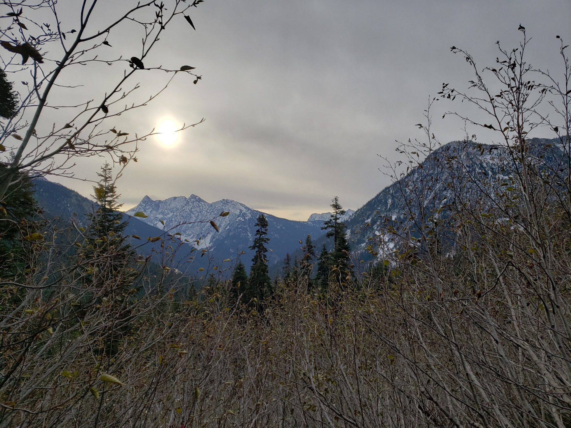
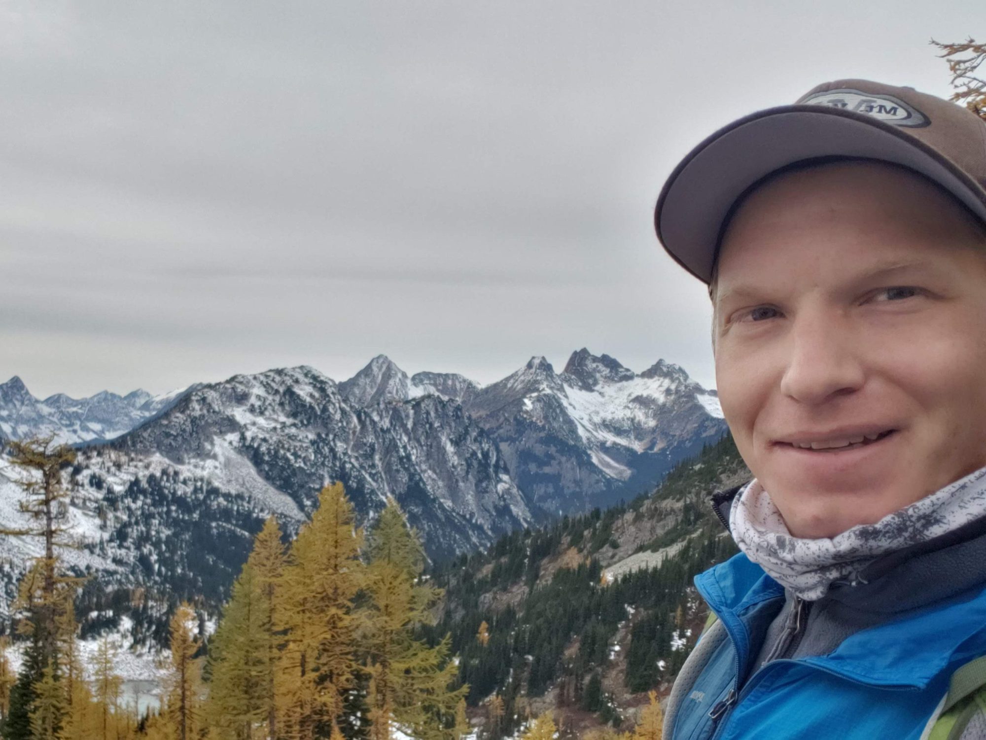
To climb Black peak, start from the lake Ann trailhead near Rainy Pass. I left the Everett area around 5 in the morning to beat any trail traffic for the day. Arriving around 6 am as the parking lot was filling up I managed to get one of the last parking spots. Indeed the trail was quite busy at first despite the extreme cold of the day.
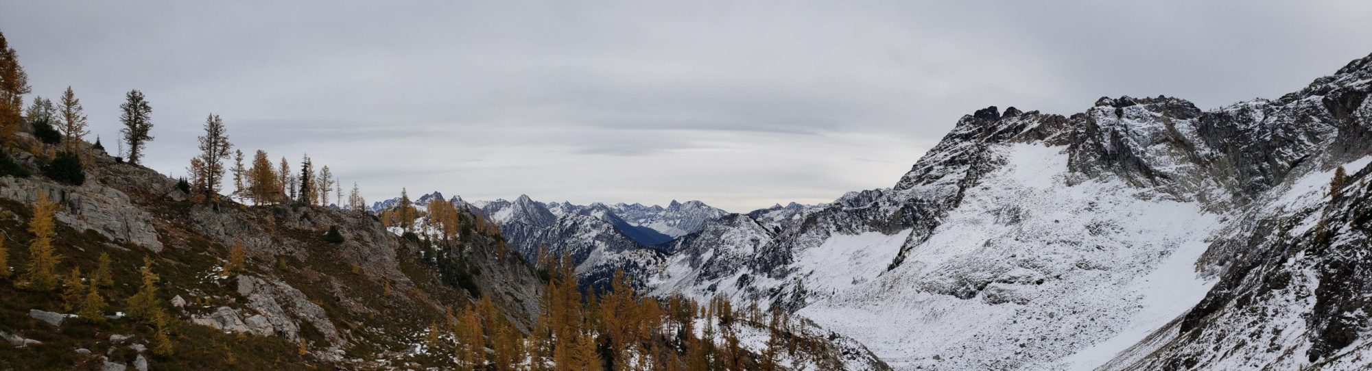
The trail starts climbing immediately as it heads toward Heather Pass and does not let up. Most of the first section is through woods with a few brief openings to unveil views of the North Cascades. Press uphill until you reach heather pass.
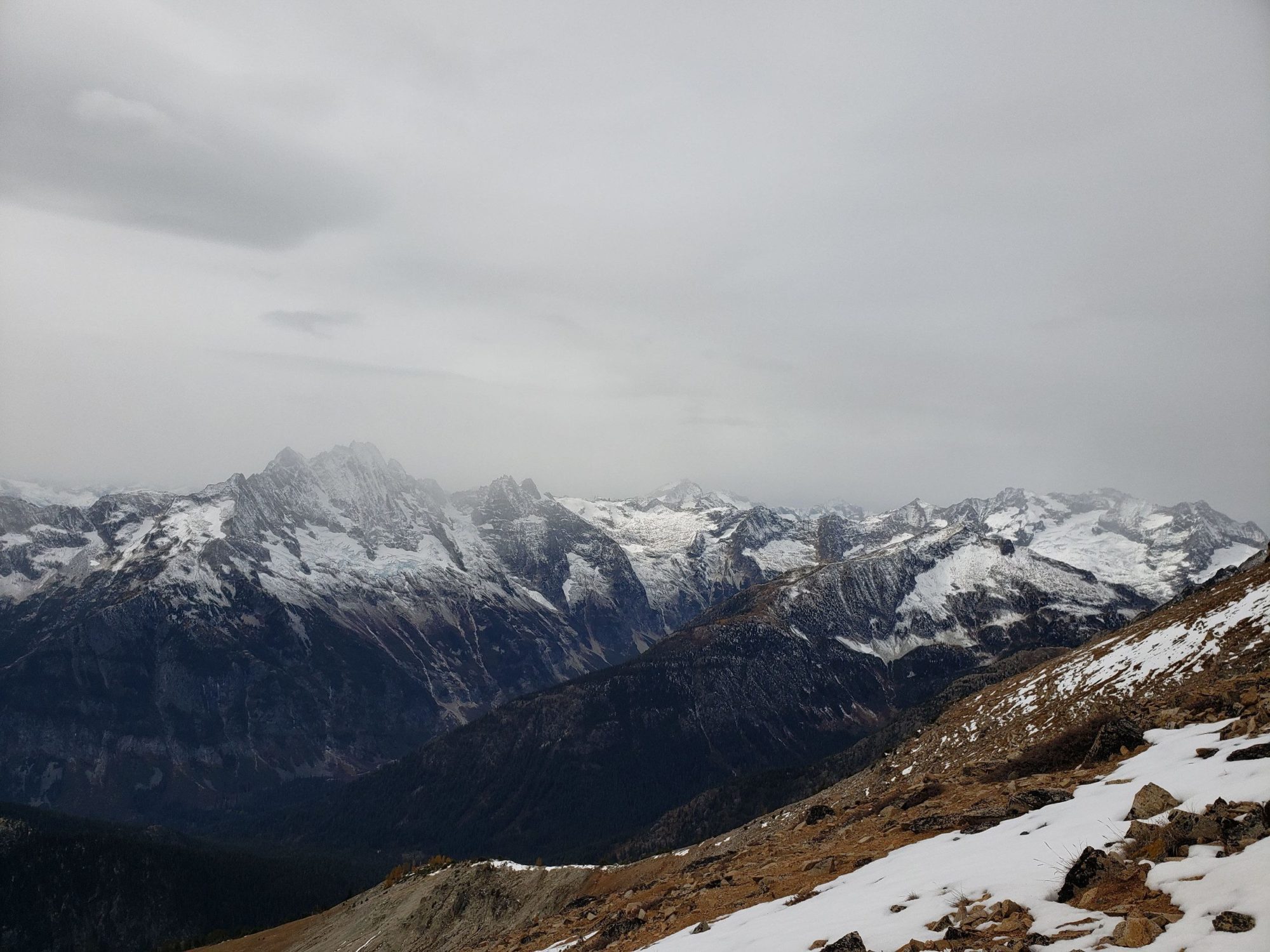
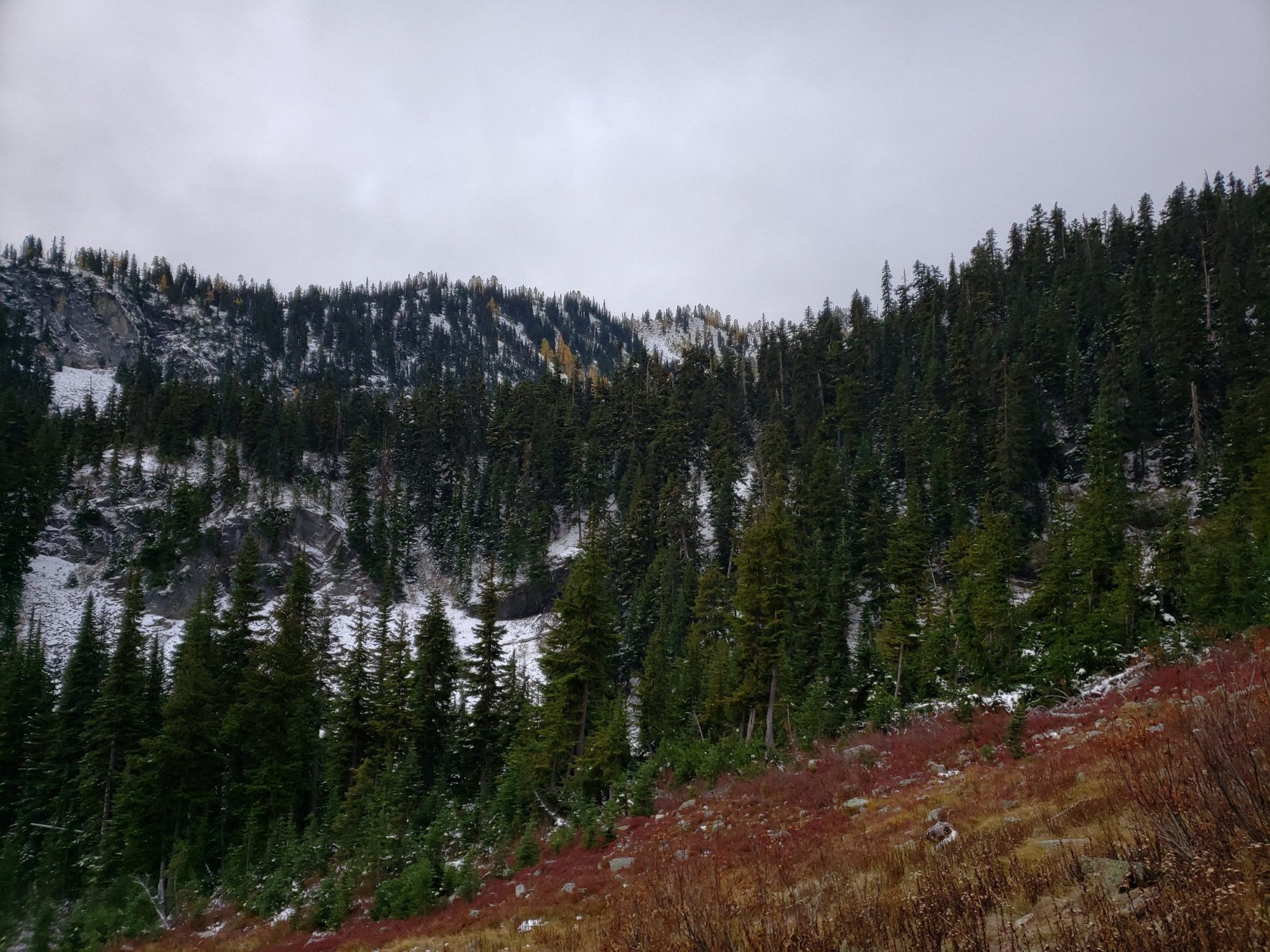
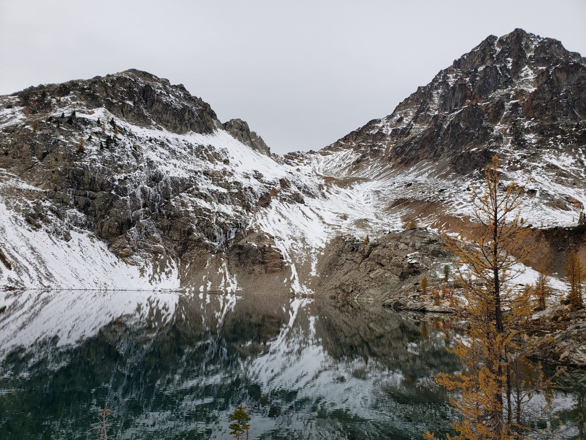
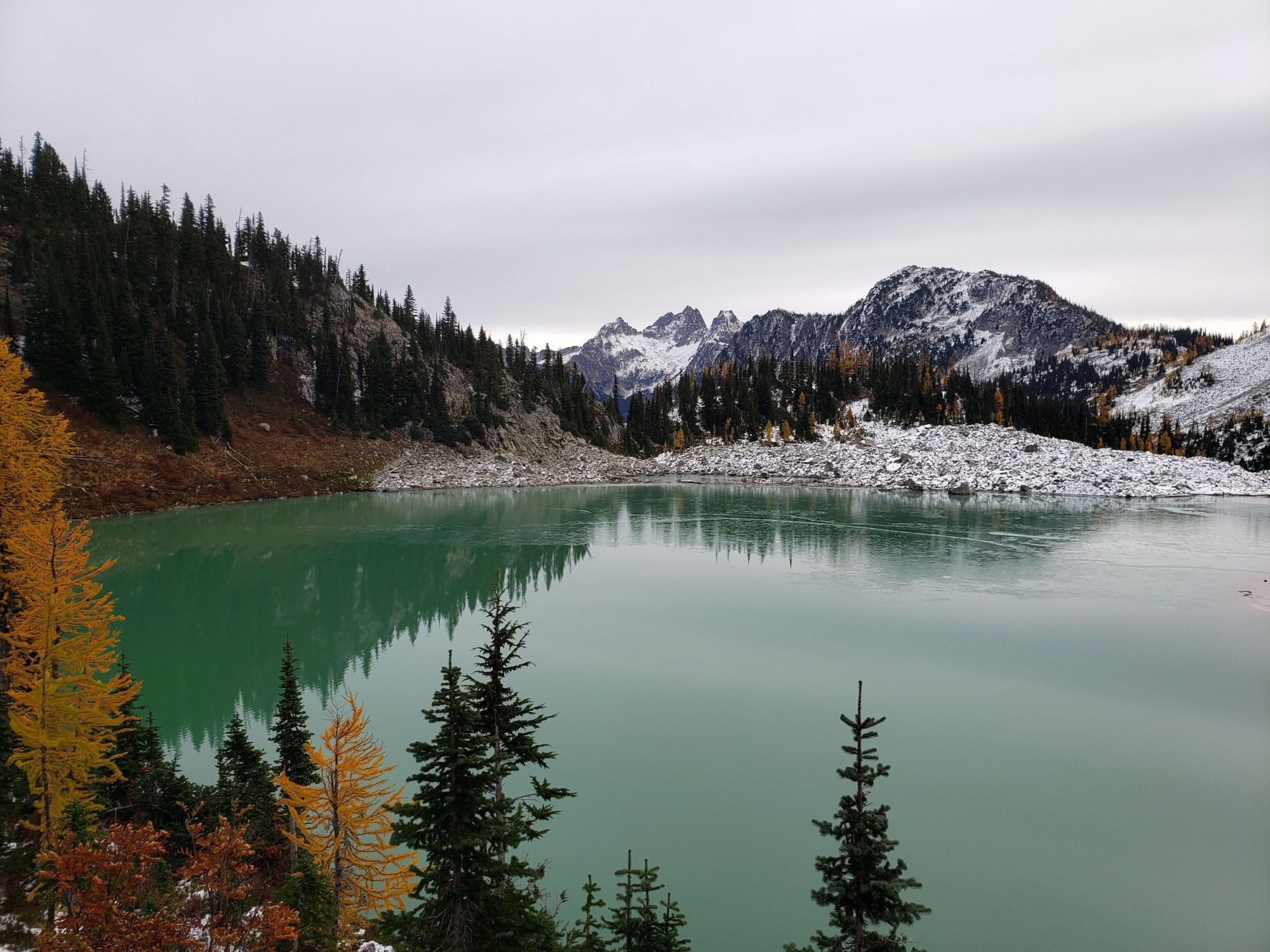
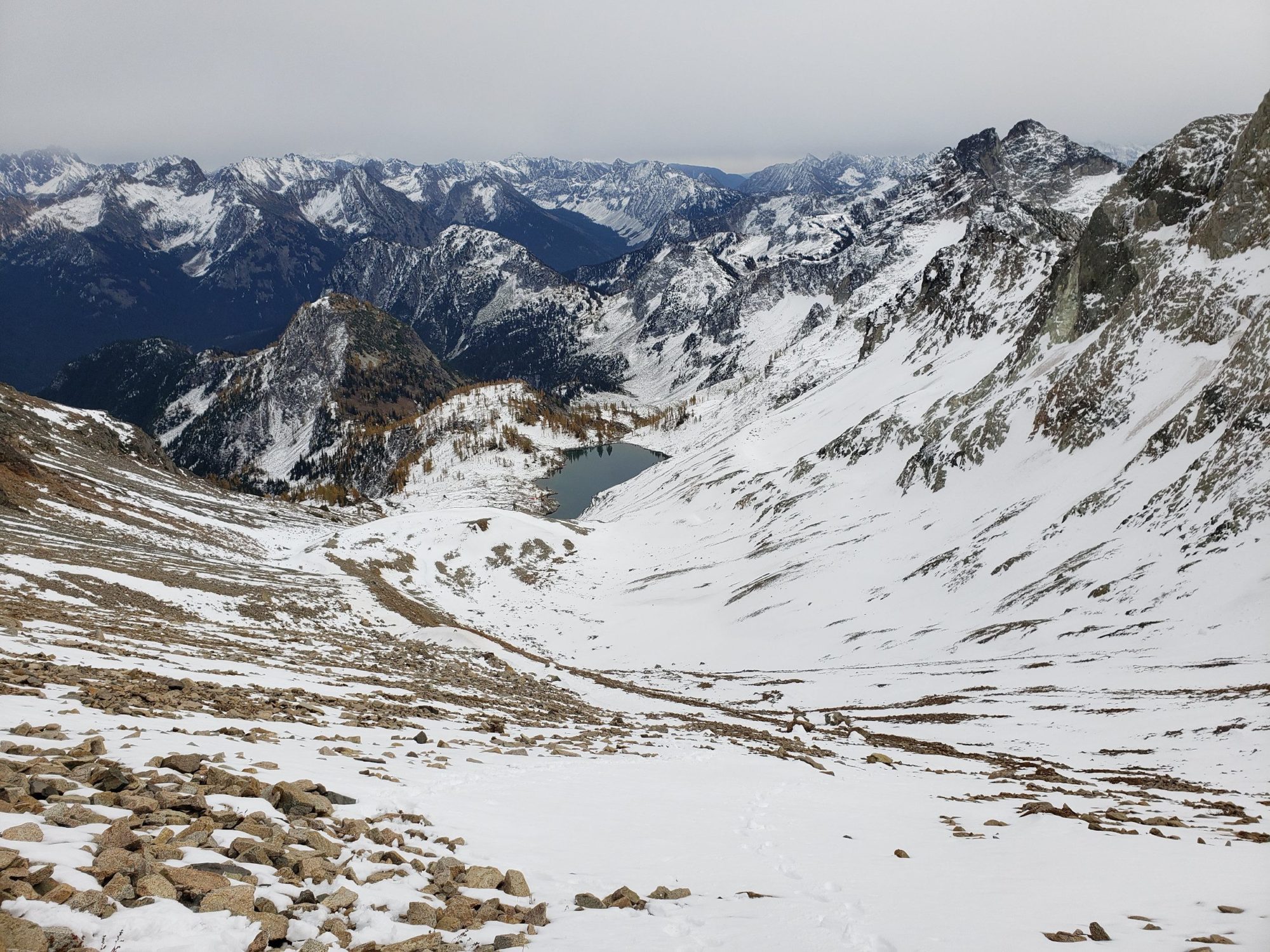
Once at Heather pass, the trail drops into a valley and you will force you onto a boulder field. Lewis Lake lies on the other side of it and from here you will get your first views of Washington’s Black Peak. This section seemed difficult though due to the fact that that it was half-covered in snow. After Lewis is the 1000 ft climb up to Wing lake and the beginning of the scramble route for Black Peak.
With the mountain half covered in snow the climb up to the south ridge was simple. All it took was some basic ice ax work and step kicking. The worst I faced were several spots where I post holed up to knee level. I expected far worse for the day being on one of Washington’s Bulger Summits.
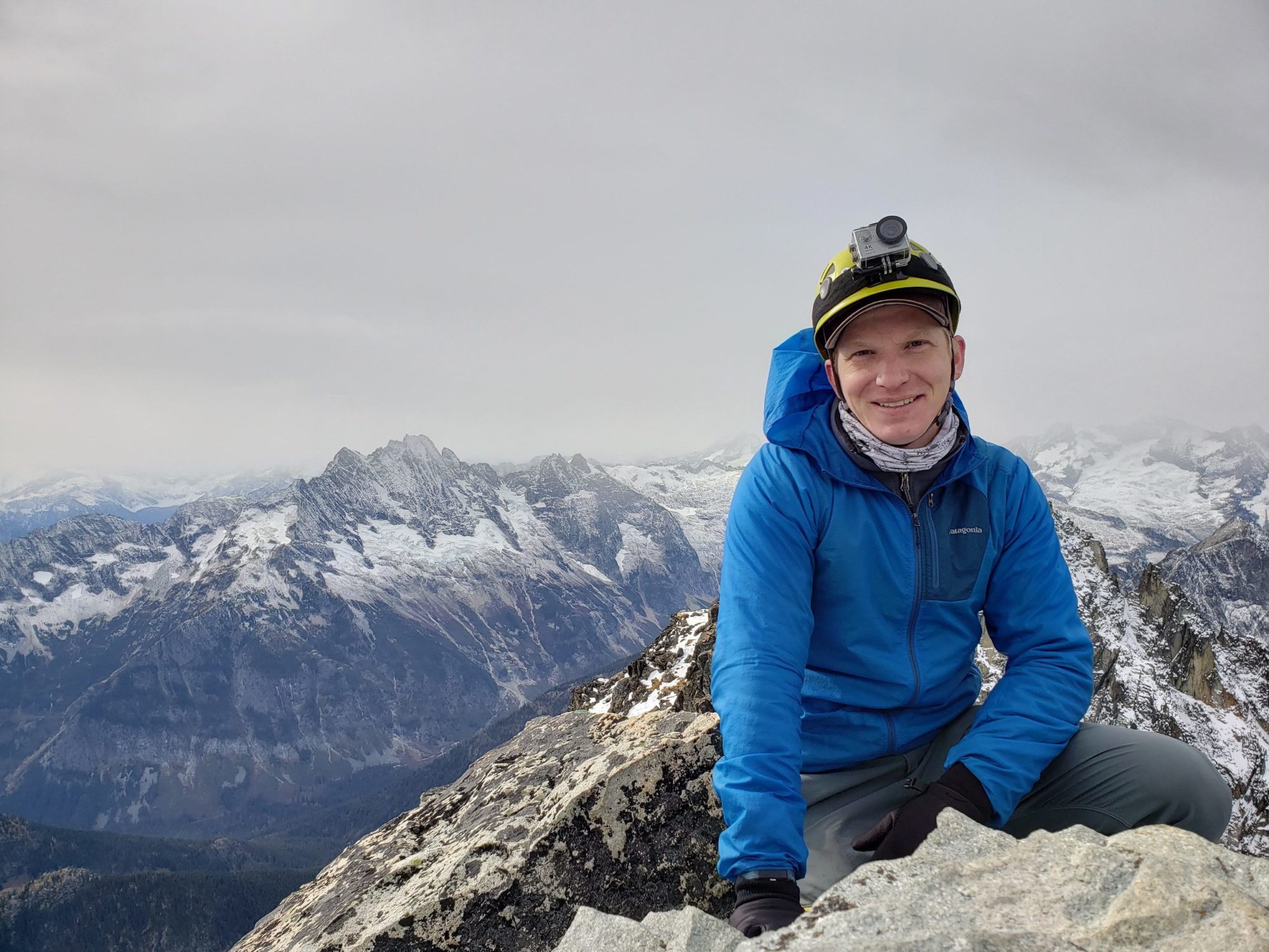
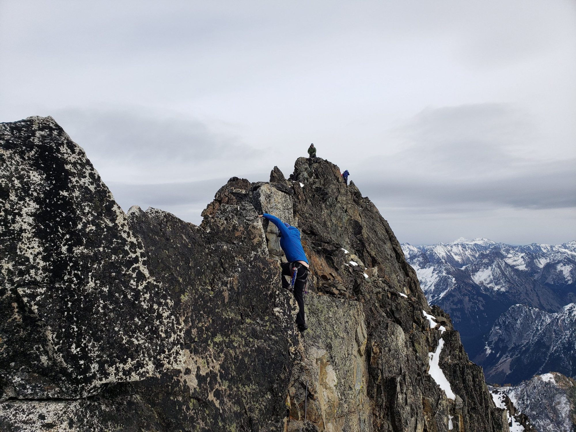
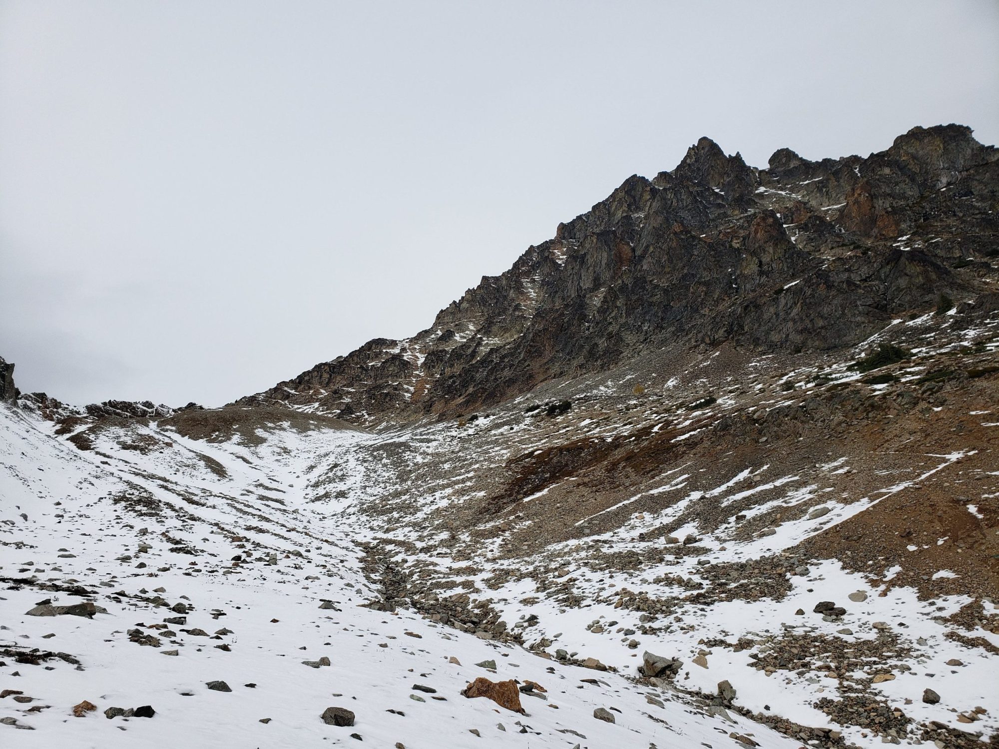
Once you make the ridge the real scrambling begins. The rest of the route to the summit has many cairns. It would appear people choose their route as they see fit. The cairns felt more like breadcrumbs to get home than trail markers up here. There are spots along this part of Washington’s Black peak that felt like high class 4 scrambling.
From what I had read the lower portion should not have been that difficult. It is most likely from the route I chose and I am sure there are easier spots to work your way up. The climb is steep but doable by anyone who is fit and used to climbing above 7000 feet. The final Ridge Scramble is where most will find Washington’s Black Peak difficult.
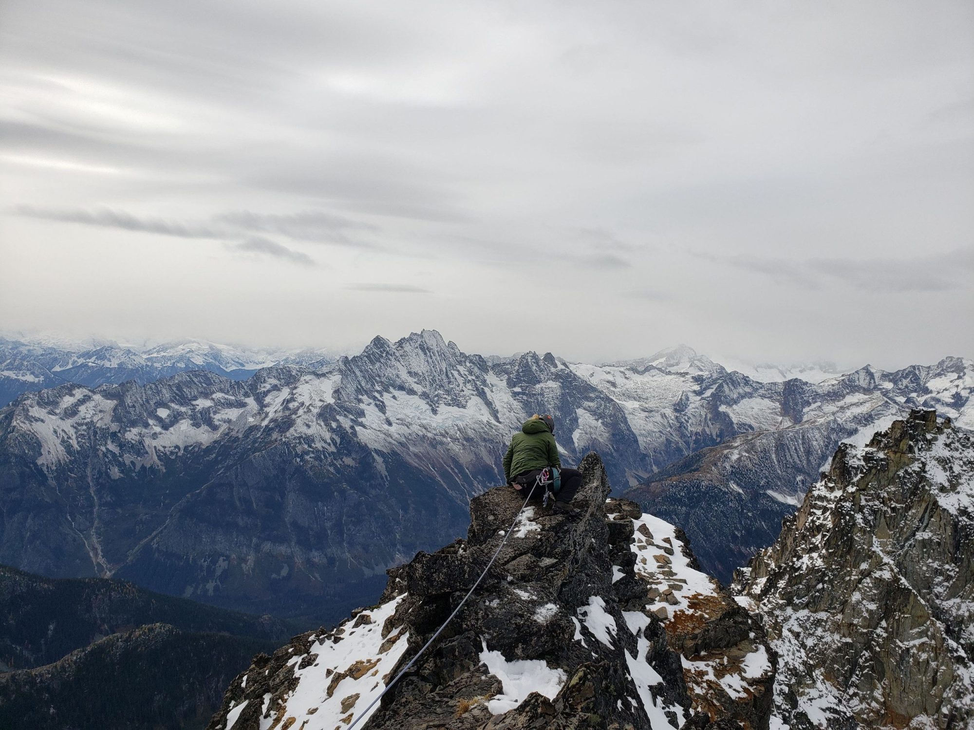
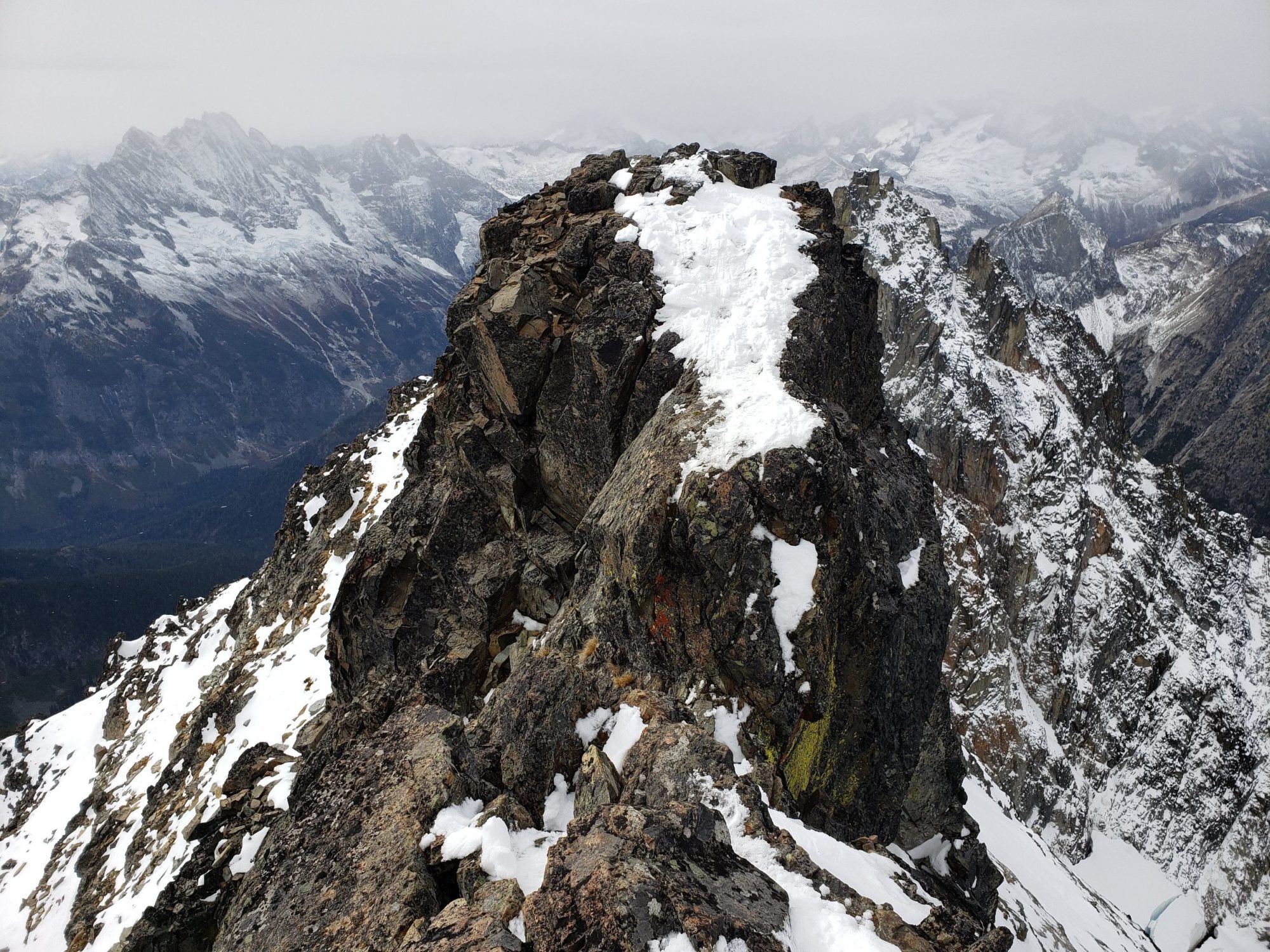
To get out to the actual summit point, there is a small Knife’s edge that is around 100 feet long. You will need to scramble up onto it, and then down its narrow ledges. There is a large amount of exposure on both sides. Right now some of there is ice on the rocks that line the knifes edge making scrambling moves difficult.
The other group that happened to be up there was using a fixed-line they had rigged to get across. While nerve-wracking, I free climbed down the knife’s edge and back without protection. The view is very similar below the knifes edge to what it is on it. If you are only here for the view, don’t bother with the scramble. If you are here to complete Black Peak as part of Washington’s Bulger list, then the scramble it. Otherwise, you didn’t make the summit
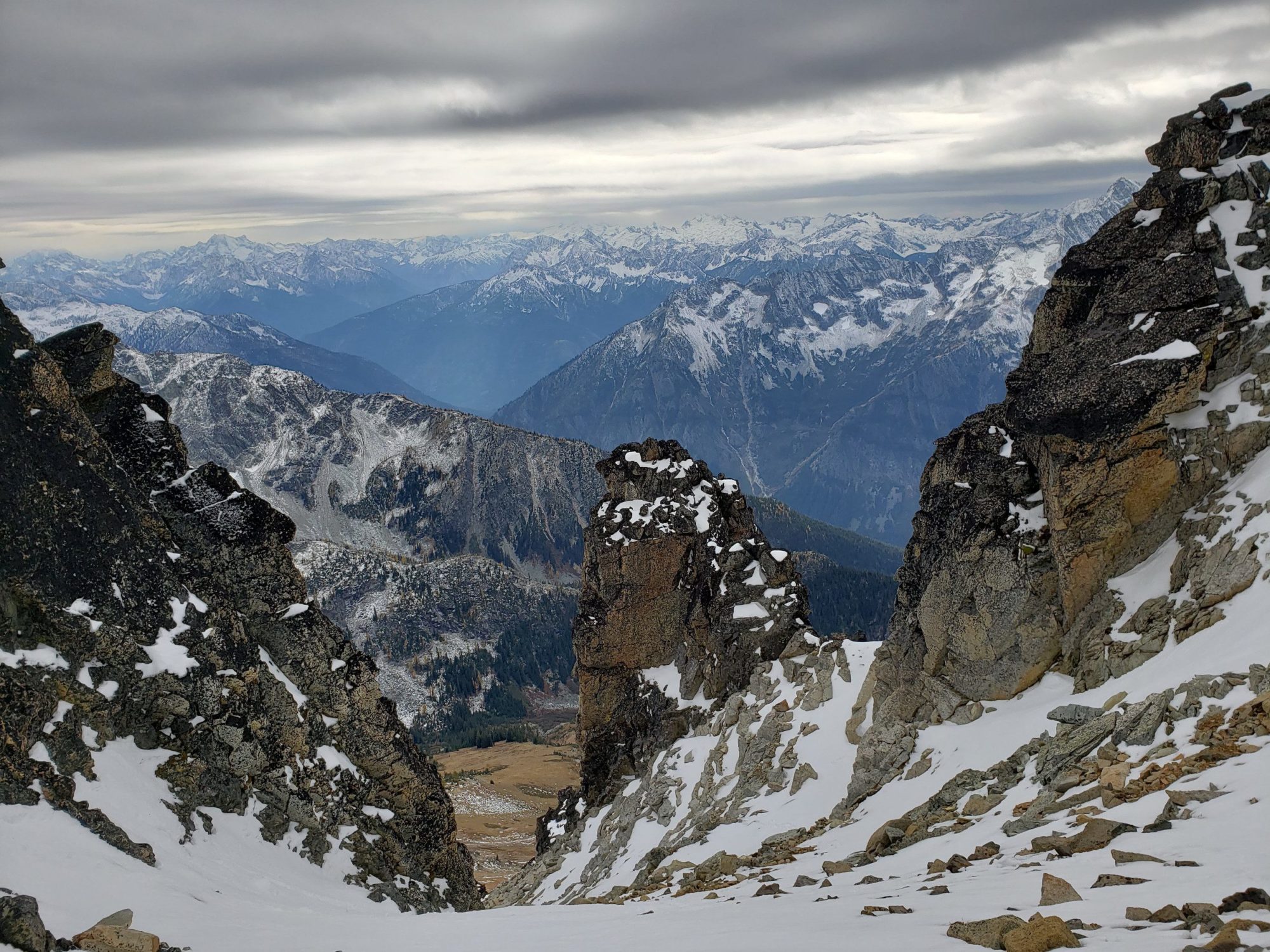
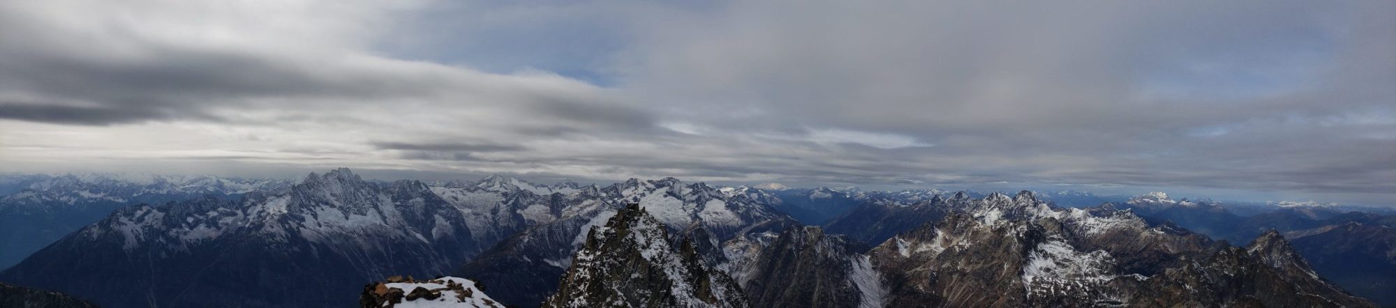
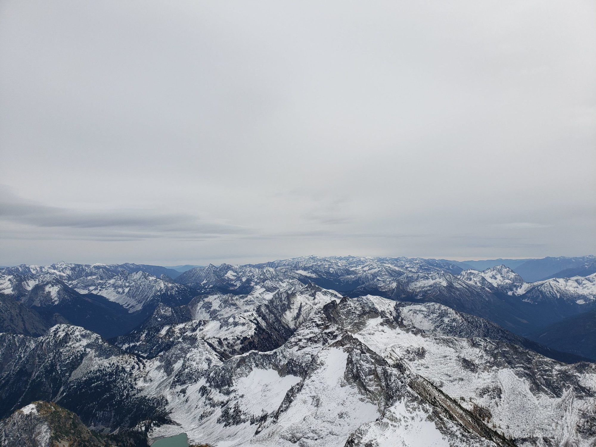
In typical North Cascades fashion even a cloudy day up here provided an incredible view. There is a full 360-degree view of almost all North Cascades National Park. You can see the many summits of the picket range and all the way to Shuksan and Mount Baker.
he way out felt like a death march and I found myself wishing that I had brought a tent. There is ample camping places of good quality to choose from if you bring one.
I managed to get back to the car by about 6 pm. It took me around 12 hours from car to car.