


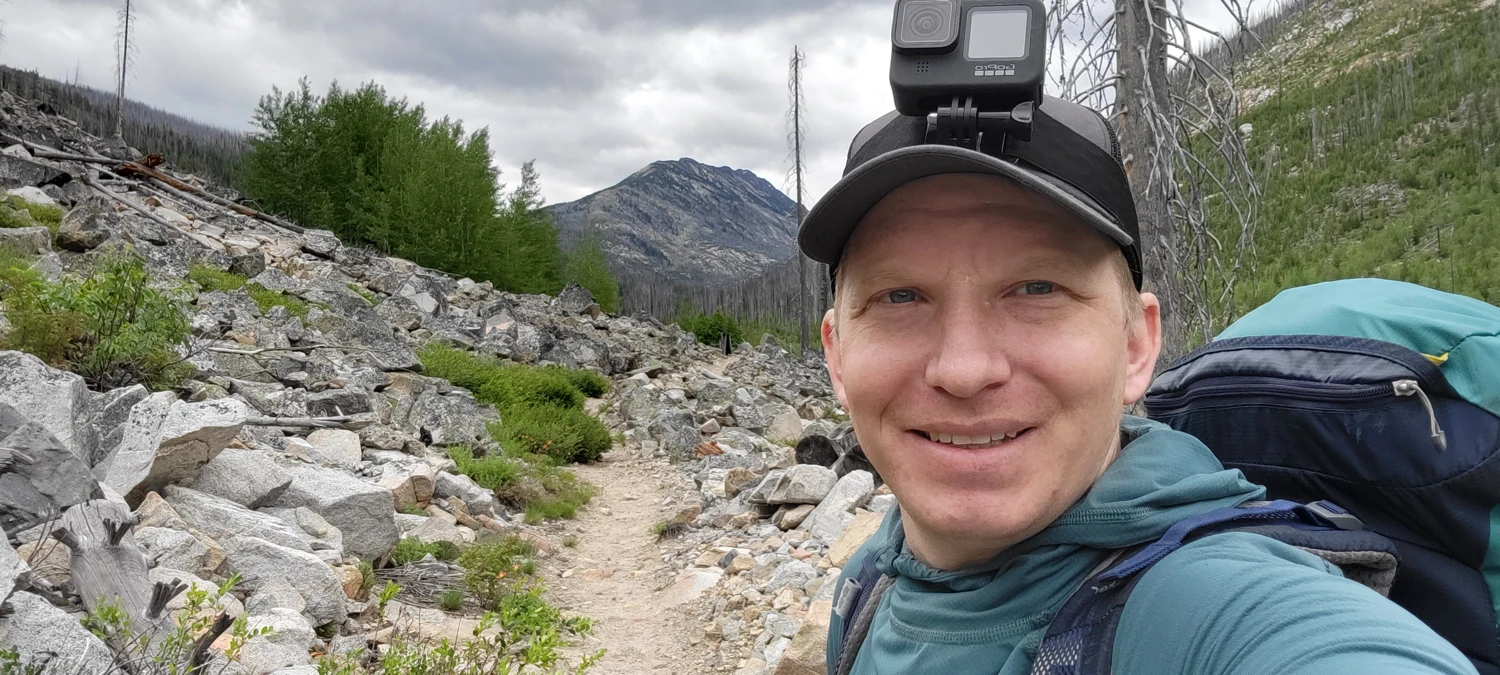
Cathedral, Amphitheatre, and Remmel have been on my list for several years. The only problem with these peaks is that there seems to be a fire yearly in the area, usually starting around early to mid-July. So, as much as I have wanted to climb them, access has been an issue year in and year out. I had the space on my calendar this year, and no fires were burning. With the weather and conditions in my pocket, I headed out to get them completed in a two-day run.
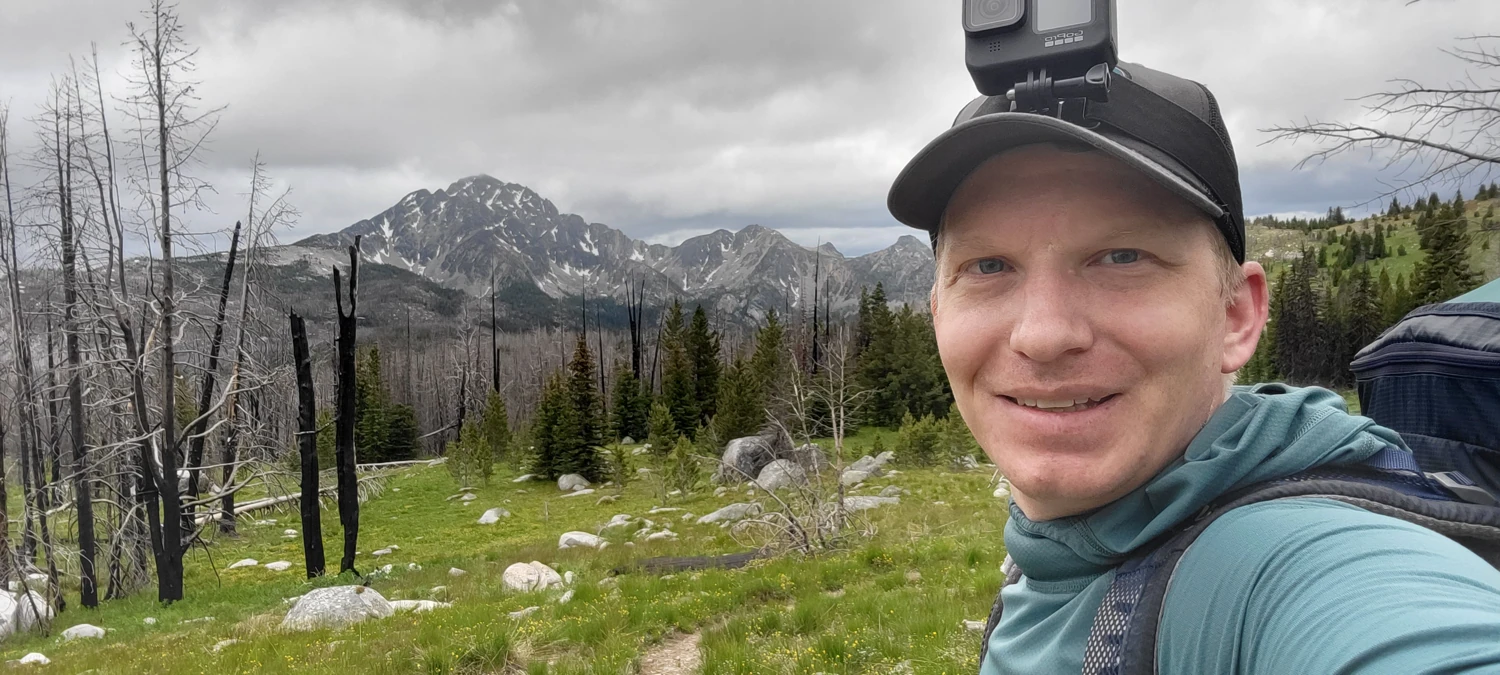
When I arrived at the Andrews Creek trailhead it was already around noon. One other hiker was in the car park, from whom I reached out for some beta info. After giving me a brief tale of his experience, he asked where I planned to head. With my small 25L pack on, I proudly responded that I was heading for Upper Cathedral Lake and then to take on three peaks in the area on the way back to the car. All I remember him saying was something along the lines of "Well, good luck then."
After finally setting out, my legs felt great while heading toward Andrew's pass. But, the gathering clouds overhead felt intimidating. They kept getting greyer the longer I walked, and off in the distance, I could hear faint claps of thunder. I held very little rain gear in my backpack since the overall forecast was optimistic, and I was doing my best to travel light for the next few days.
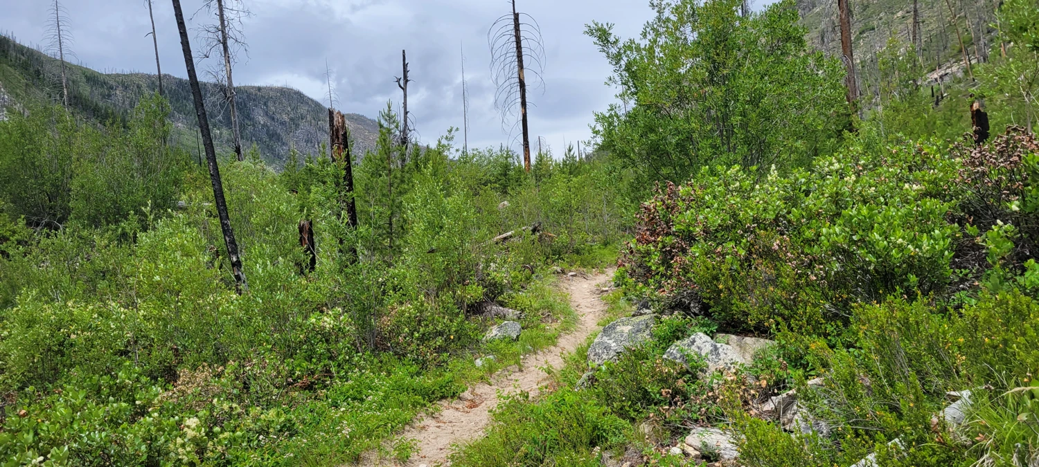
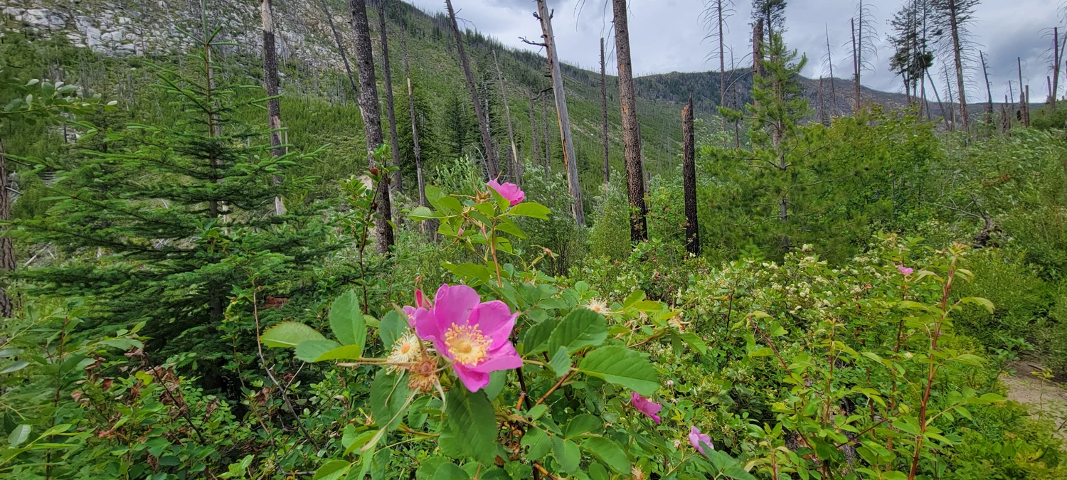
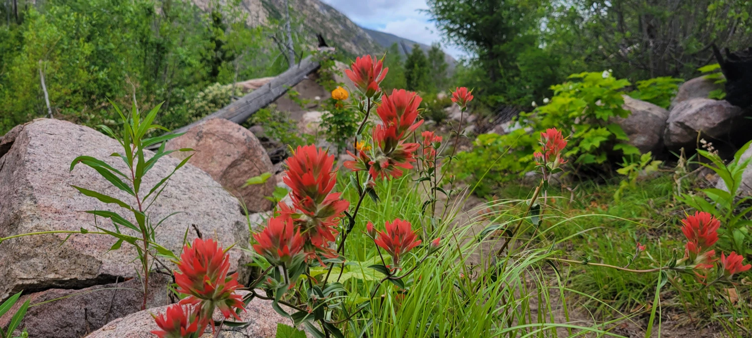
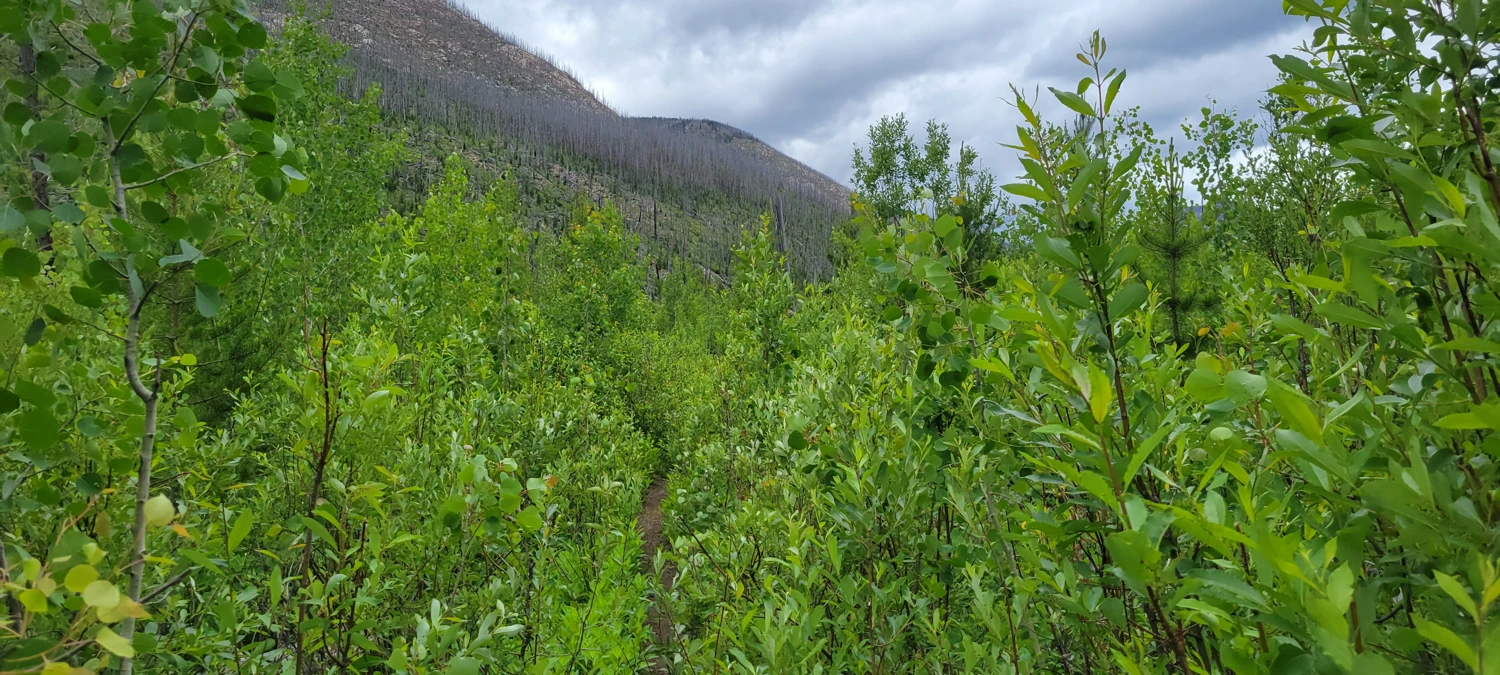
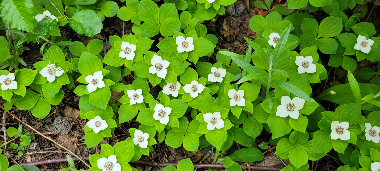
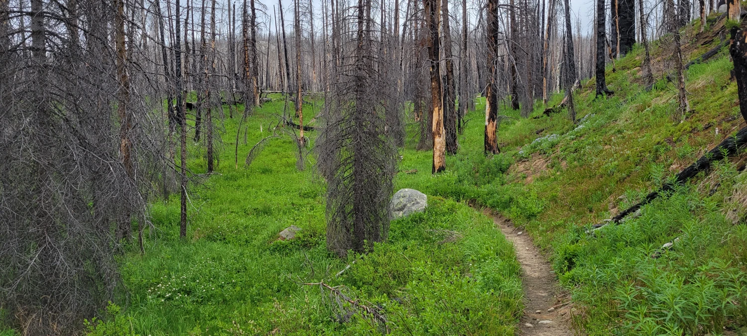
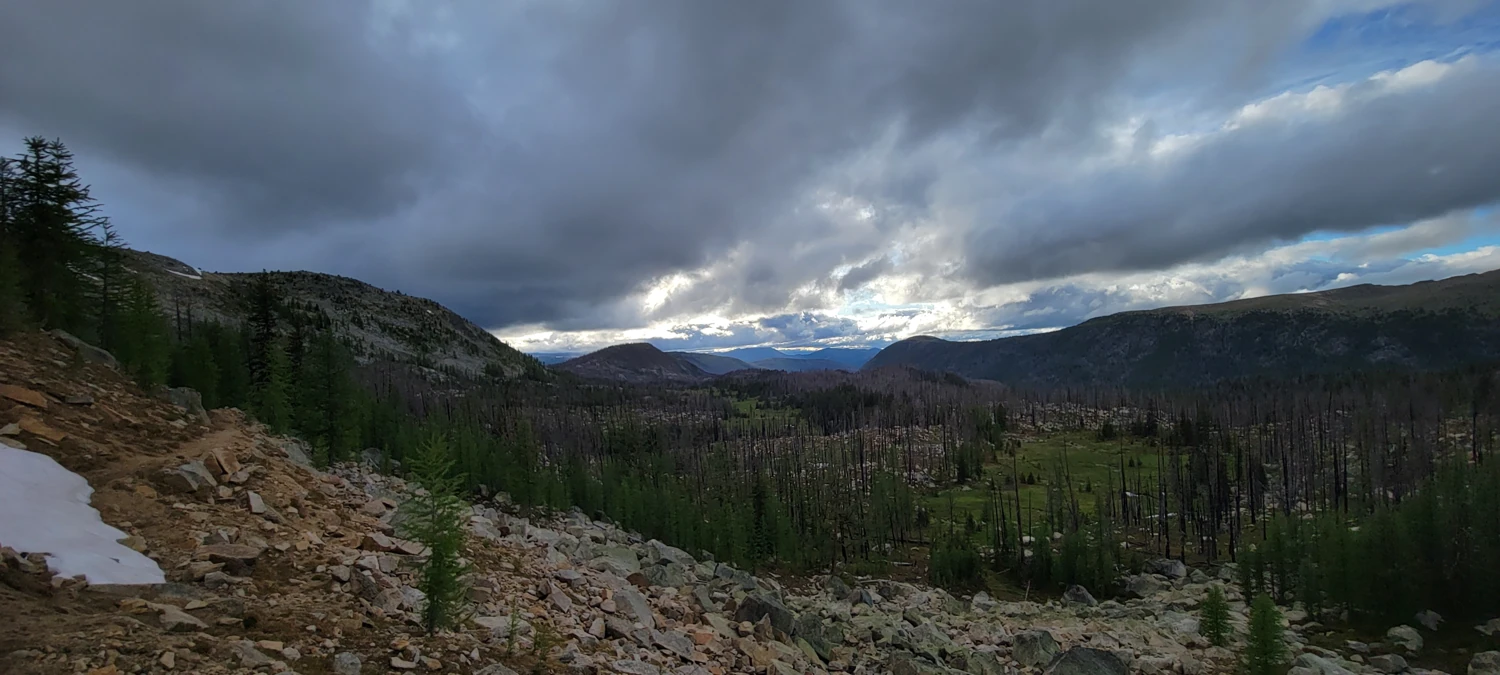
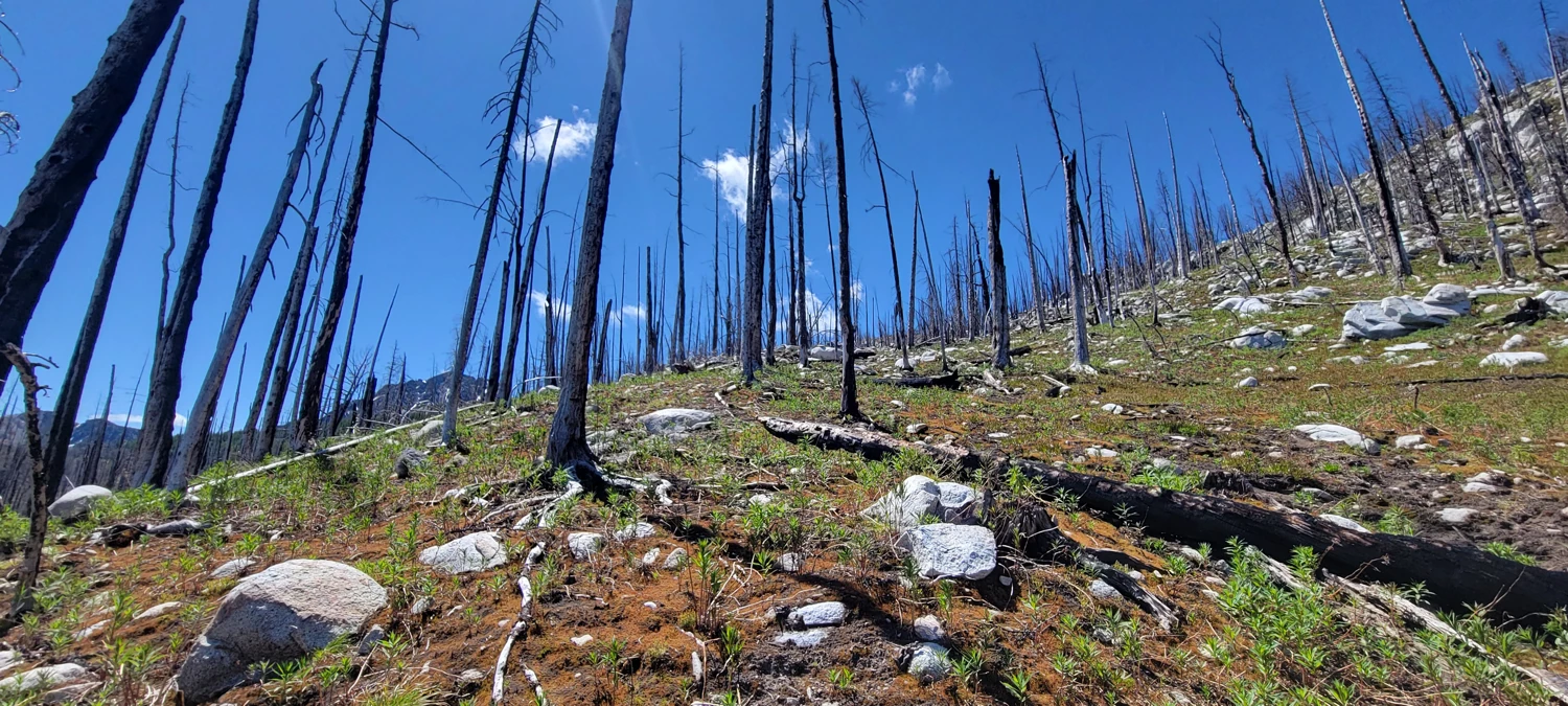
Whatever lay in front of me, I did my best to keep myself distracted by the scenery around me. As depressing as a raging forest fire can be seeing the forest waste away, it is otherworldly how the forest regenerates itself so quickly. There were blossoming flowers, giant, gorgeous butterflies, and lush green undergrowth. It was easy to get lost in that wonder of how beautiful the forest replenishing itself can be.
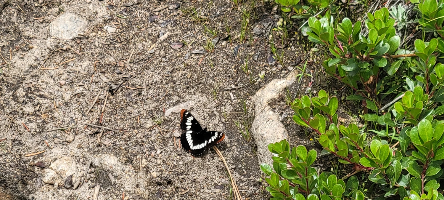
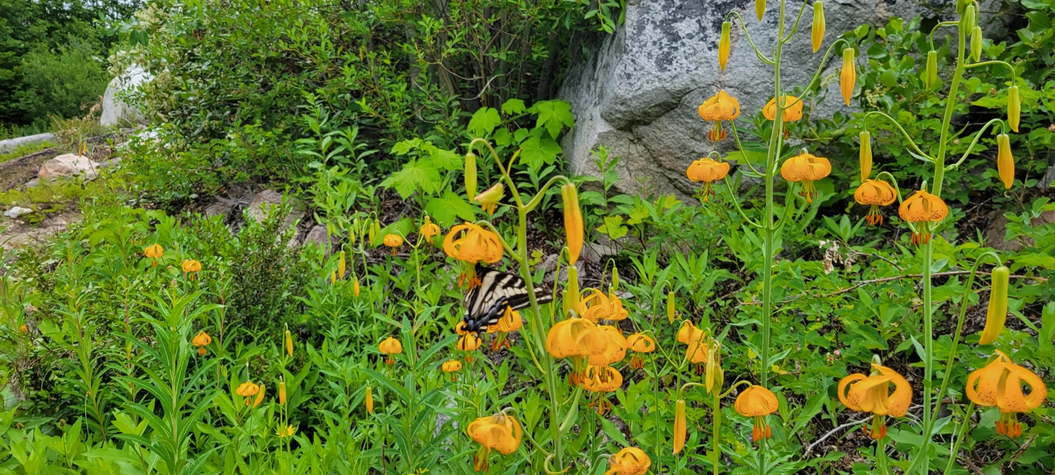

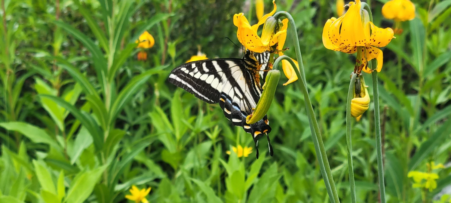
In fact, after the entire summer, one of my favorite photos from the season is still a close-up of a butterfly I took on this trip. I could see all its features while feeding on a flower's nectar. I waited 20 minutes to snap it, hoping one would land close enough to me to get the photo. Oh boy, was it worth the wait. I still have that photo stuck in my mind.
After reaching Andrews Pass and descending over the other side towards Cathedral Lakes, I began to feel a slight trickle of rain. Along with the distant claps of thunder that I could hear rumbling over the Canadian border, I immediately began to regret not bringing rain gear with me. For a moment, I sat down near the start of the Peepsight Trail and debated my options. The rain was light, and the clouds were moving to the east, so I decided to take my chances, knowing that if it began to rain, I would be walking back to my car in the dark.
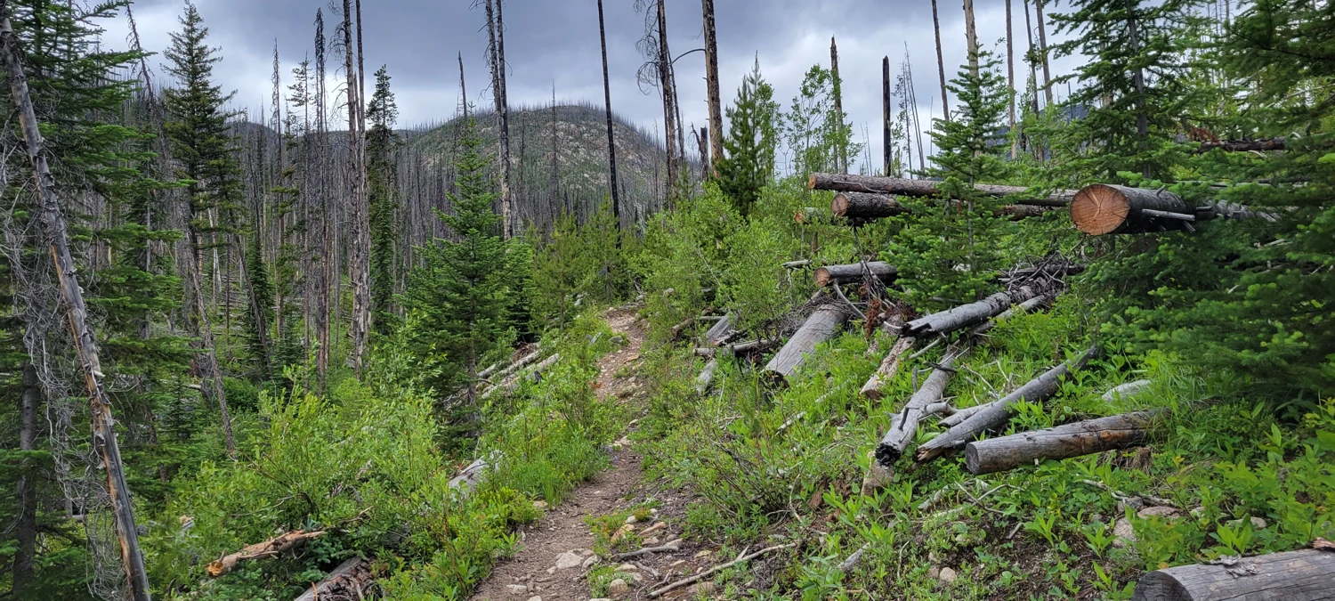
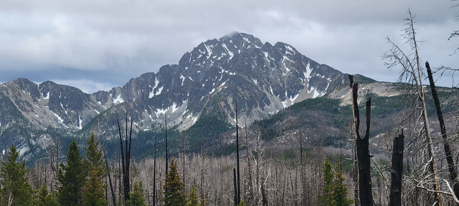
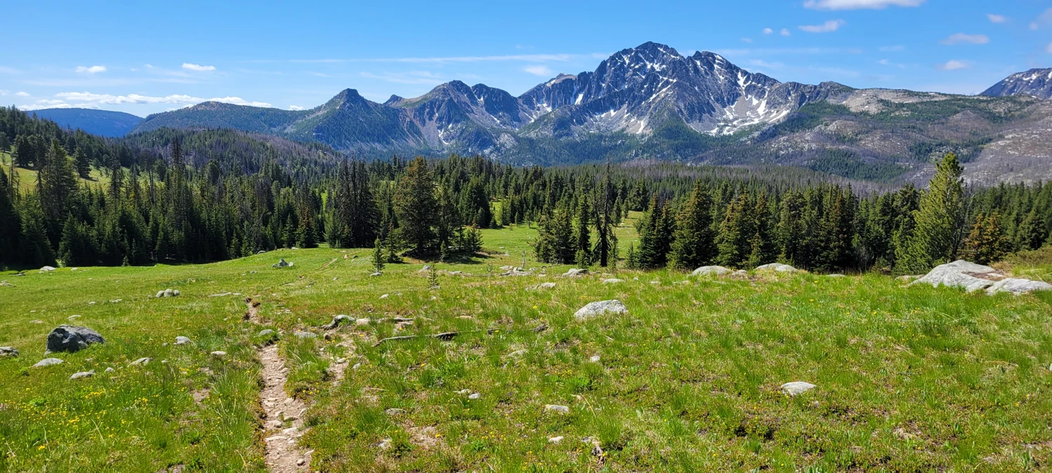
After leaving Andrew Pass, the trail snakes through several burn areas, before it reaches a junction of the Boundary trail and the Cathedral Lakes Trail. If you plan on Climbing Cathedral Peak, take the boundary trail cutoff to the right and then take the first left to follow the boundary trail to Upper Cathedral Lake. It will cut several miles from your journey and significantly decrease elevation gain.
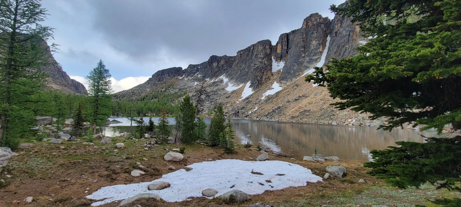
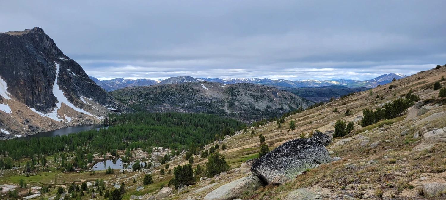
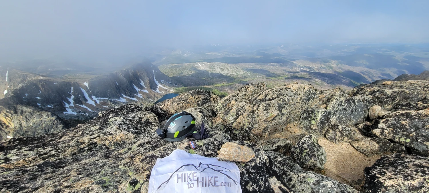
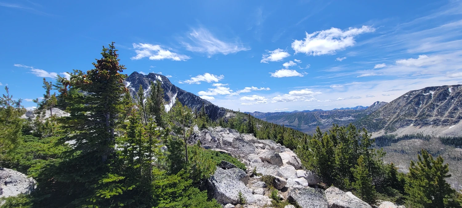
reached Upper Cathedral Lake in about 7 hours and found it empty. The weather may have kept others out of the area for the weekend. I set up camp slightly above the lake at a small tarn with an incredible view of the lake and surrounding peaks.
After settling into my bivvy site, the night sky cleared up, and I had an open view of the sky. I fell asleep early to the sound of a few frogs in the nearby water, singing me to sleep, eager to get the climbing going the following morning.
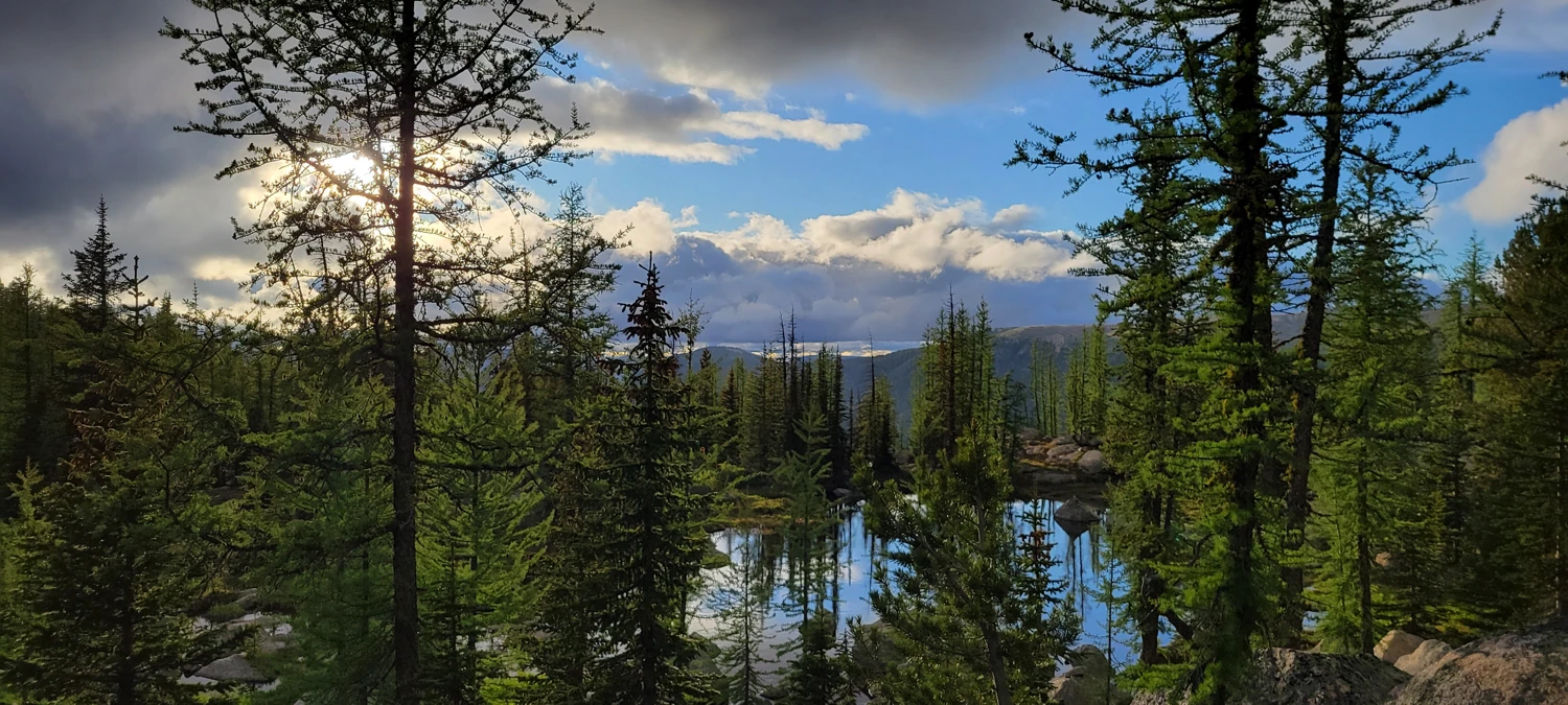
I woke up on day two around 6:30, hoping to get to the top of Cathedral Peak and at least handle one of the mountains before the daytime heat settled over the area. From the small tarn where my bivvy site was, it was a short (maybe 15-minute walk) to where an apparent climbers' trail started to head up the mountain. To save myself some energy, I found a small tree to hang my backpack from to keep the critters out while I climbed with no weight on my back.
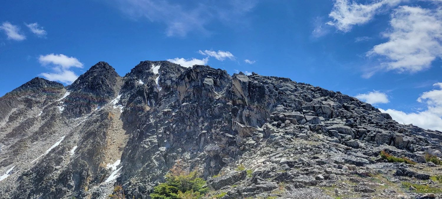
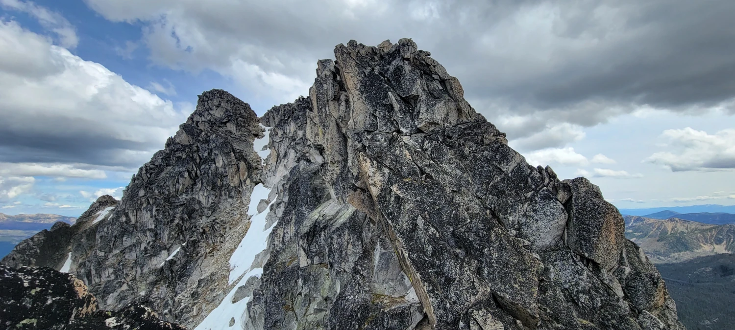
From the base of the climbers' trail, the first scree field was a pleasant (compared to most scree fields) walk up to the base of the main ridge for Cathedral Peak. Once on the ridgeline that leads to the summit, the scrambling was easy (I would call it class 2), and the only real tough spot to get past is the infamous leap of faith crack. On the way up, I found a couple of handholds to lean across and pull myself up onto the other side. But on the way back, jumping across the crack is the only easy way down.
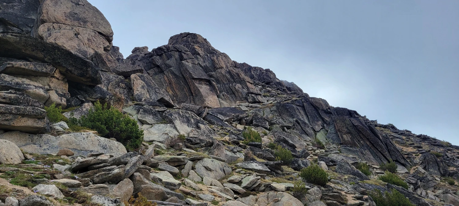
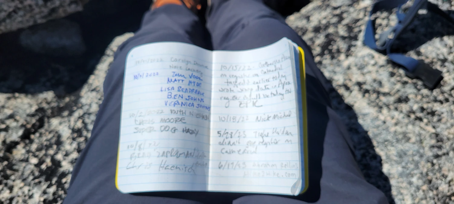
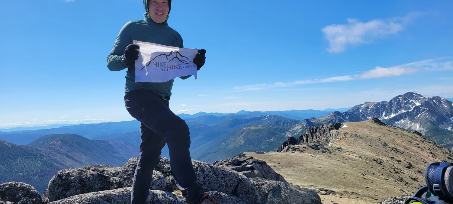
If you get past that section, the remainder of the way to the top is a stroll along a moderately steep ridge to a broad summit block and the summit register.
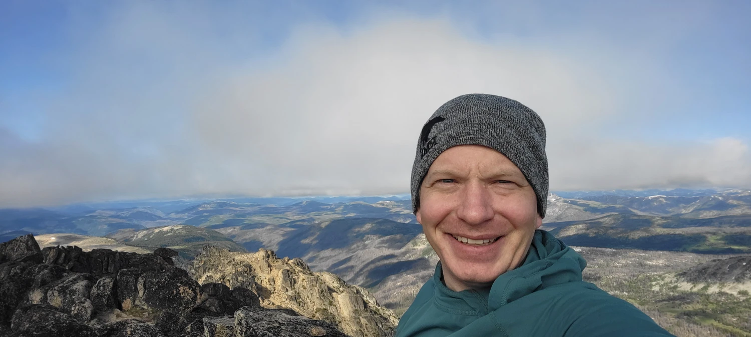
I only lingered for a few minutes since I had a very long walk ahead of me for the day, and clouds were beginning to obscure the view.
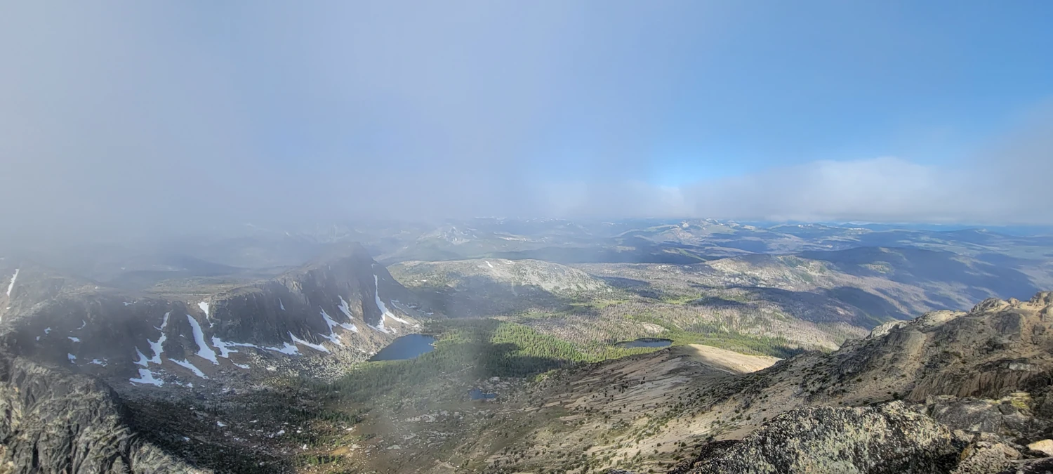
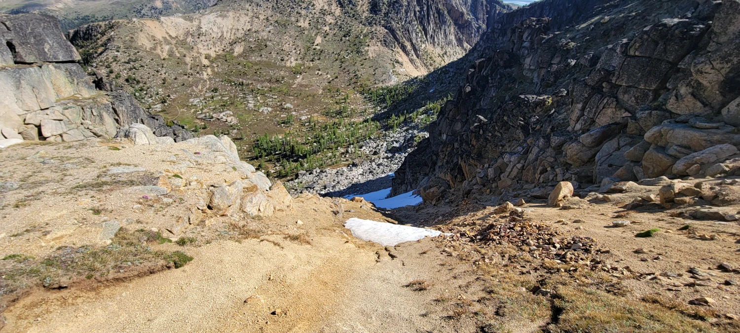
After returning to my pack, I headed for the access gulley that makes climbing Amphitheatre Mountain much easier on the way out. While one can head back down to Upper Cathedral Lake and walk around, the trail will add around 3 miles to the trip, plus some extra elevation gain. Instead, look for the small access gulley approximately here. Viewing it from the lake appears to be challenging to navigate, but as you get closer, the route will become obvious if you have picked the right gulley. It is less steep than it appears.
On this occasion, there was still a fair amount of snow in the lower portion of the gulley, and since I lacked micro-spikes, I had to work my way around the right-hand side of the snow on some very loose rock.
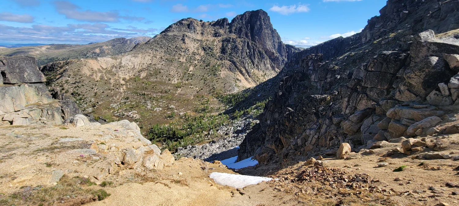
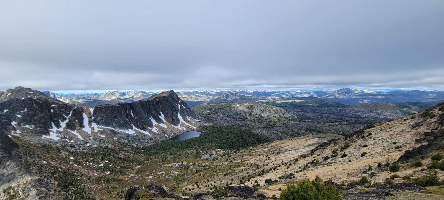
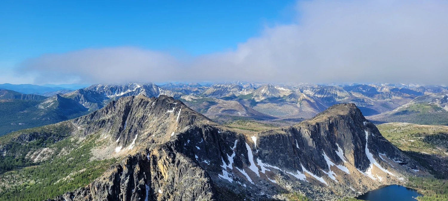
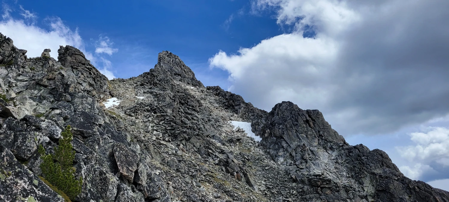
From the top of the gulley, it is a walk to the top of Amphitheatre Mountain, my second goal for the trip.
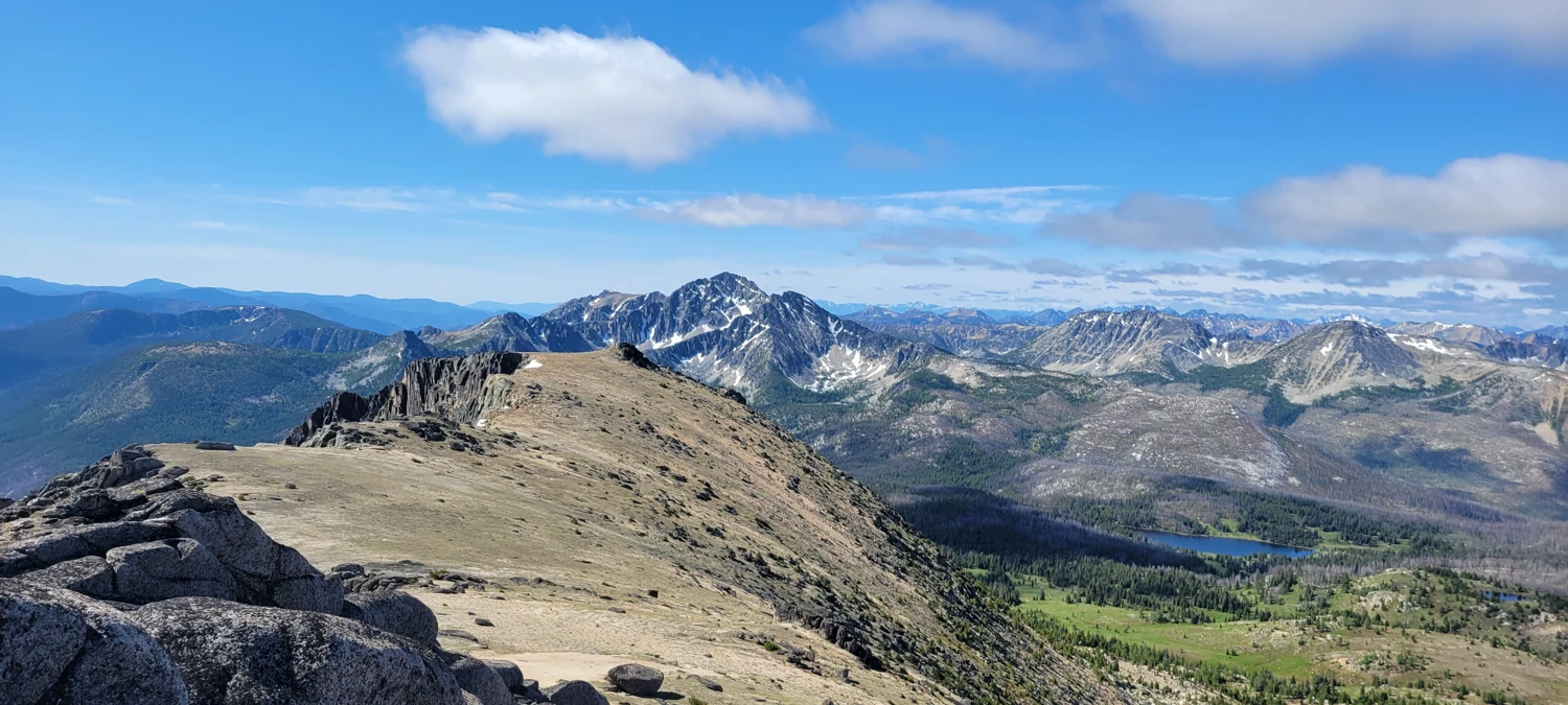
After some quick summit photos, I started planning the rest of my day. Remmel Mountain lies near Andrew Pass, and from the pass, there is a class 3 Gulley That most people choose to take to reach the summit. However, coming from the area I was in, I decided to attempt approaching from the Northwest Ridge.
To get to the Remmel mountain, I plotted out a course on my map that took me down Lesamiz Trail, a short cutoff on the Remmel Cutoff Trail past Remmel Lake so that I could make a rising traverse up to the ridge and then walk my way towards the summit without having to walk back to the pass.
While this does cut off mileage, this side of Remmell Mountain is well known for its steep climb to reach the summit. Unlike the standard Gulley Route, this side will require significant navigation and some class 4-5 scrambling to reach the summit block.
I made several navigation errors along the ridge, significantly slowing my progress. I also had my batteries in my Go Pro Die. My phone died, and all I had left was my watch to prove I made it to the top and back down.
However, From the GPX File that I downloaded, my watch did not fully track my summit, despite at one point telling me I was 500 feet higher than the summit block. With no proof, I will do this one over again next summer to get myself a summit photo.
The only people I saw during the entire time in the area I would meet on the way back down to my car. They were a couple headed out due to some incoming weather. I chatted with them briefly, but other than that interaction, I lived in my solo happy place the entire time I was up on these peaks.
Right on cue, about two weeks later, a fire started near Cathedral Peak, blocking access. I'm glad I managed at least to climb two of these before the fire season.