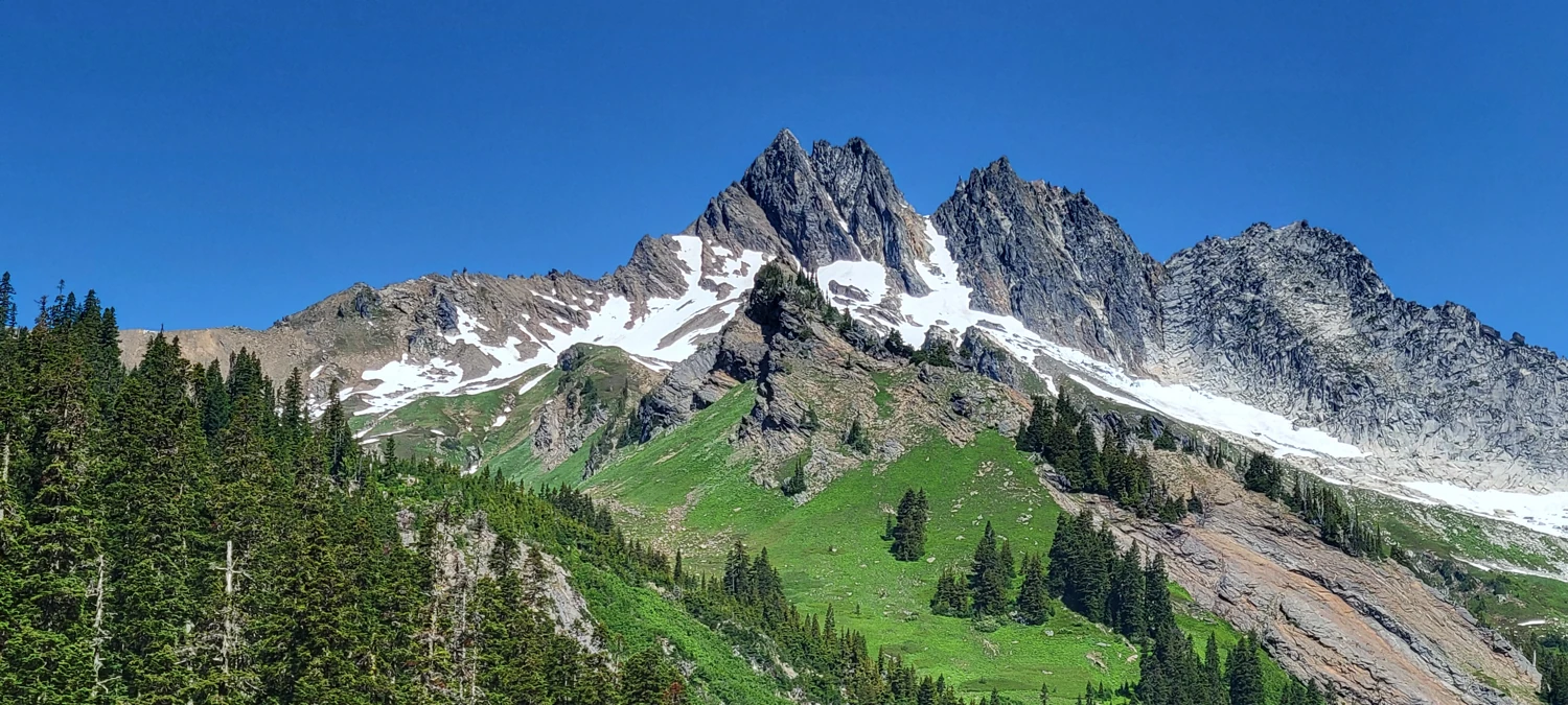
Ah, Clark Mountain. This peak looks like one of the easiest of the Bulger List summits to reach on paper. However, due to its location amongst some trails that are rarely maintained, it can be quite a chore to walk to the top of.
Clark Mountain has become my nemesis over the past few years. I have attempted the Gulley route several times, once stopped by snow in the gulley and another by inadequate time while trying to attempt it in a day. I once got within a few hundred feet of the summit while using the Richardson Glacier route. But as I approached the summit that day, the wind became so intense I was almost thrown off the mountain. I had to shove my ice axe in and lay down on it until the gusts subsided so I could walk away.
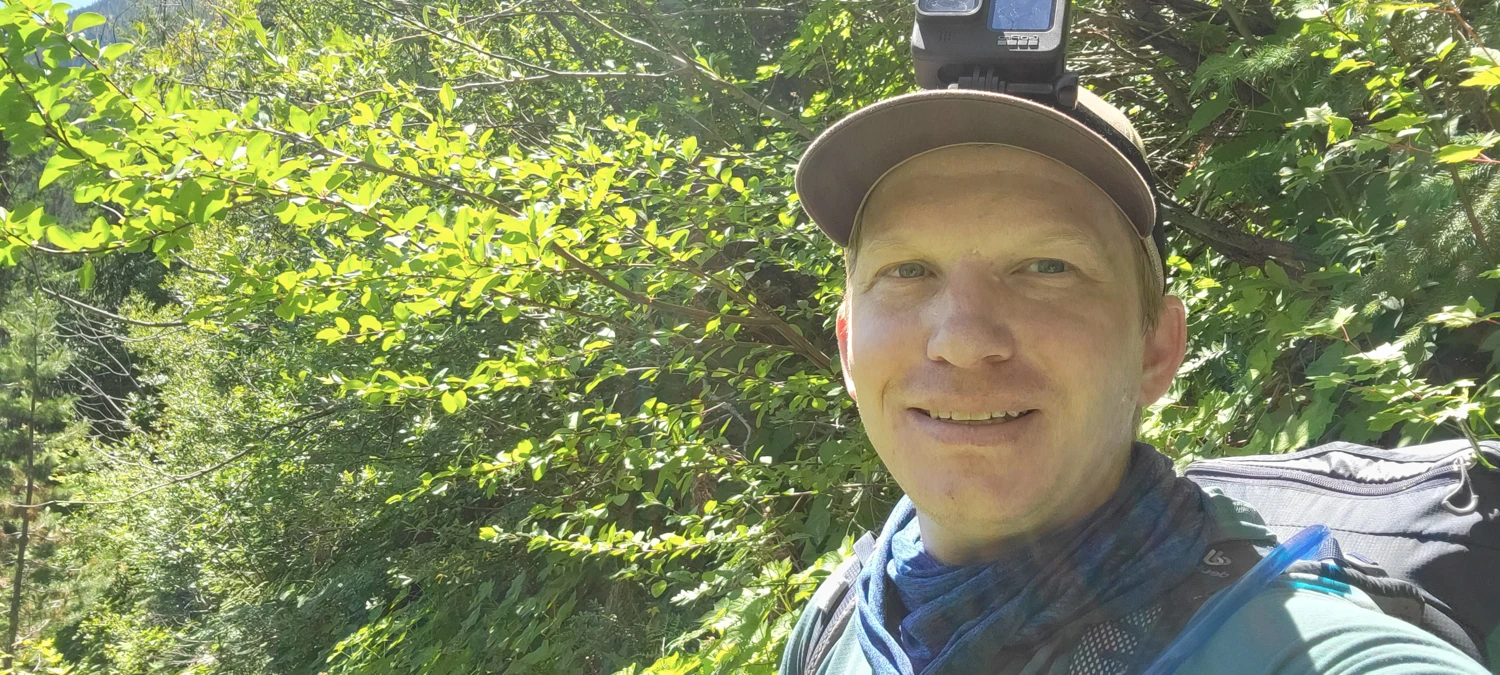
So, yet again, I was going to try for Clark Mountain this year. I took a very lightweight bivy setup and minimal food to increase my chances of summiting this one and Luhana Peak. Setting off from White River Trailhead, I was determined not to fail this time.
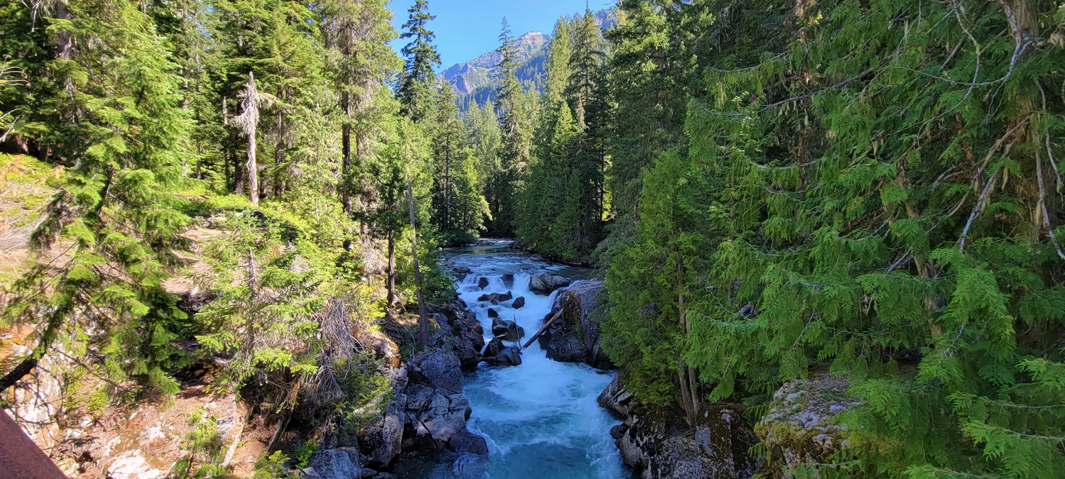
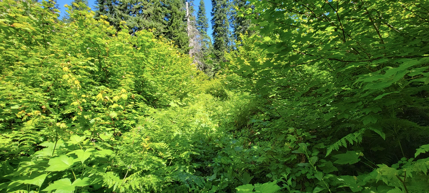
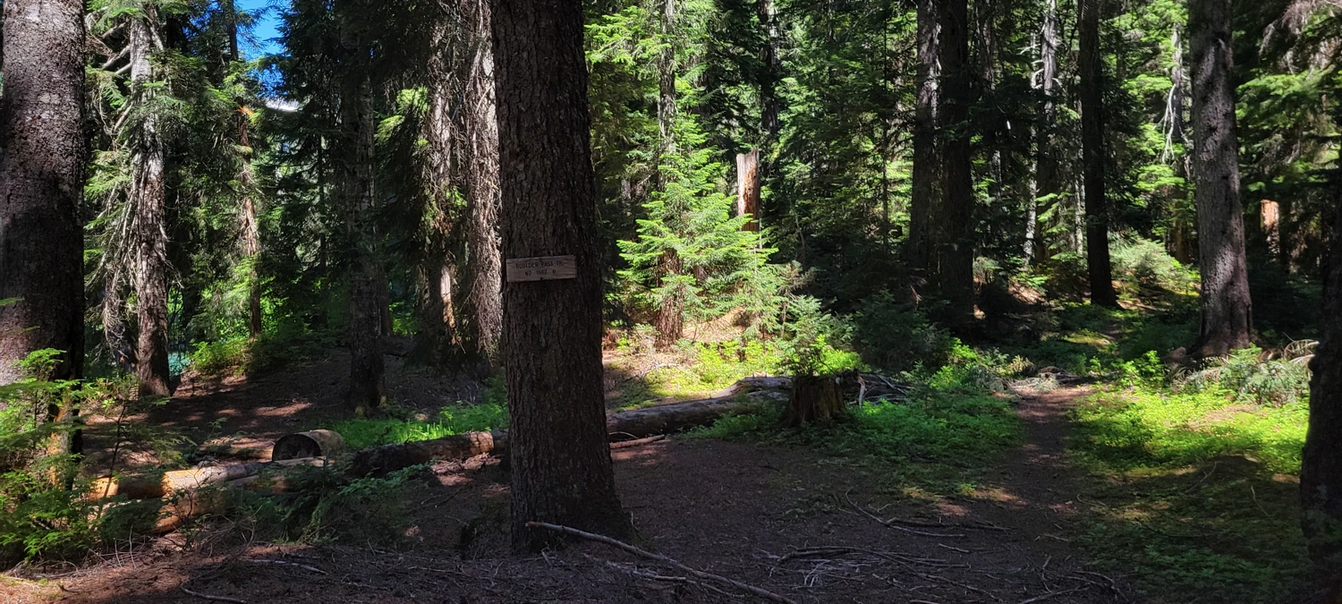
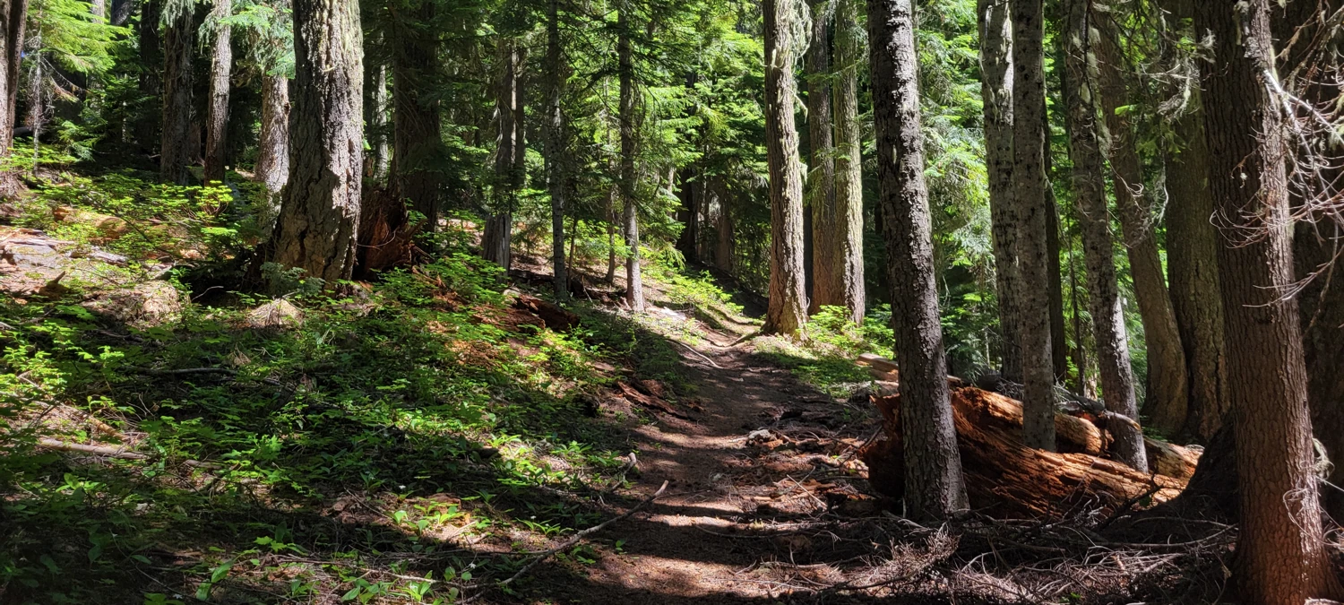
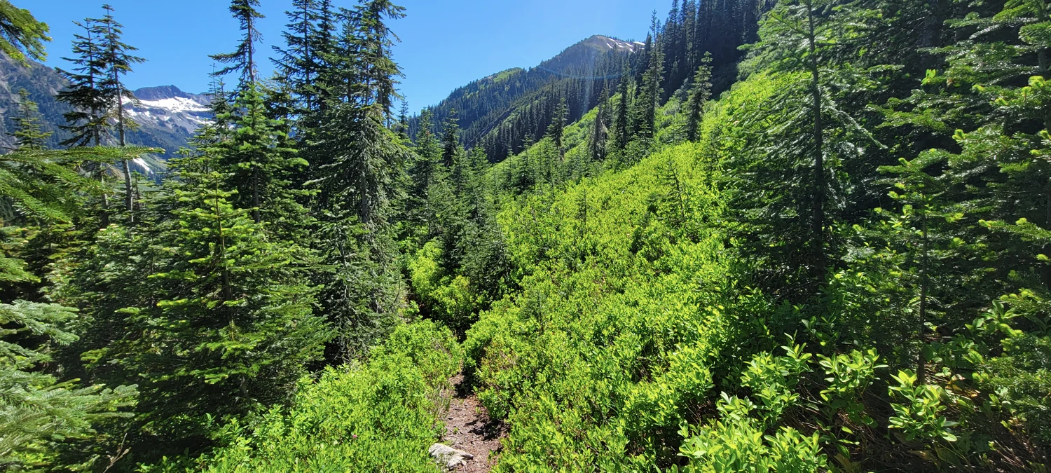
As per usual, for the area, White River Trail was utterly overgrown in spots and a lovely wooded walk in others. I made it to the cutoff for Boulder Creek in around an hour and a half and began working my way uphill. While I have only seen evidence of recent trail maintenance once on the Boulder Creek trail, the first section is relatively free of brush and blowdowns every time I walk it.
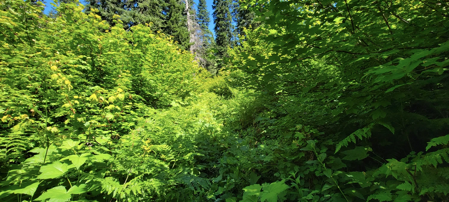
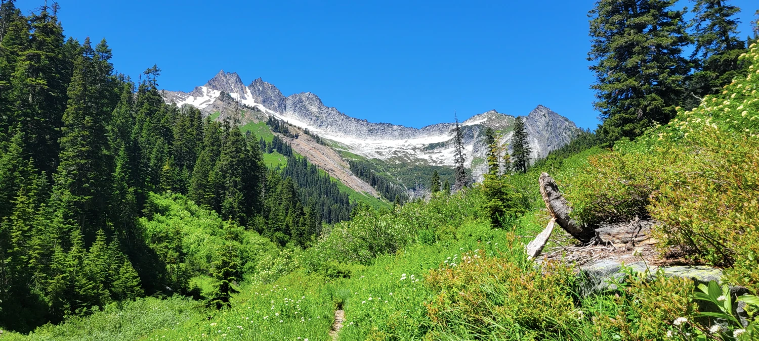
As the trail snakes up the side of the hill toward Boulder Basin, there are a few peekaboo views of Mount Saul, Mount David, Mount Jonathan, and the Hive. Enjoy your time in the woods here if it is a hot day. It is relatively bug-free and stays cool due to the dense tree cover overhead.
The first hurdle of the day is at the top of the hill into Boulder Basin. Boulder Creek here has no bridged crossing and, depending on the time of year can be anything from a swift-moving creek to a small trickle later in the summer. Although it seems shallow from the shore, the middle of the creek crossing is usually about knee height or a little over. If you want to keep your feet dry, prepare to take off your boots and bring some sandals to navigate through this section.
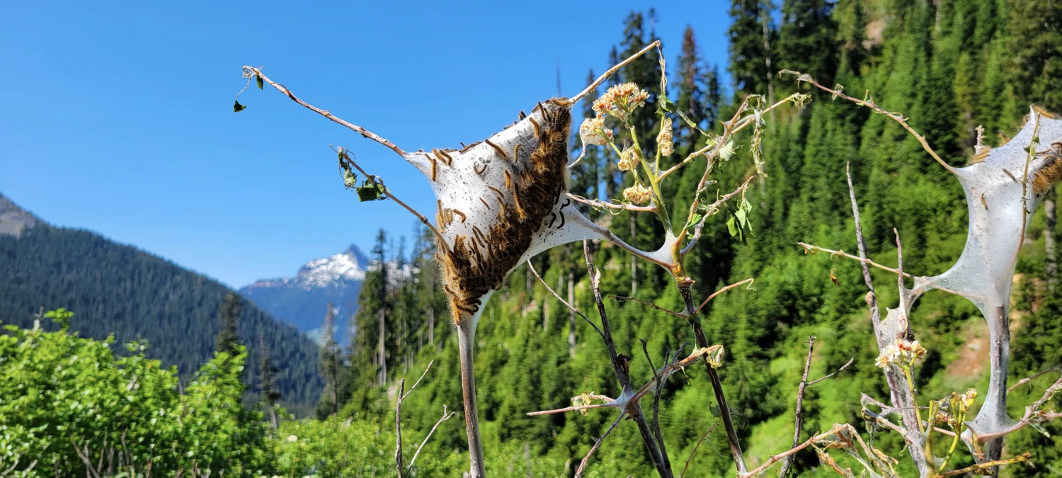
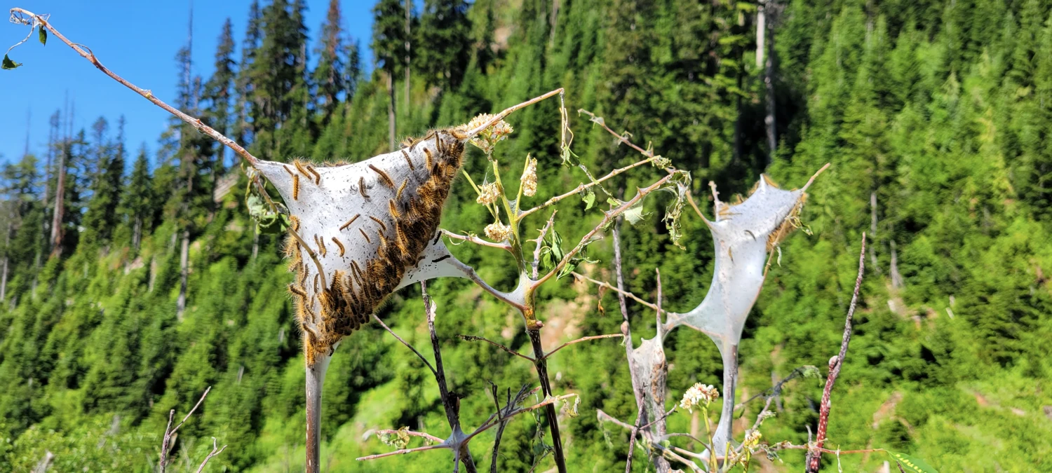
An unfamiliar site greeted me after getting across the creek on this occasion. Cobwebs were woven around branches everywhere, covering the branches of some trees. Inside the masses, I could see things crawling around, and upon closer inspection, I discovered that they were caterpillars. At first, I believed they were nesting (though I had never seen fields of caterpillar nests before) and figured they were harmless, so I continued.
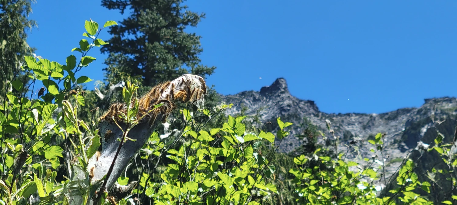
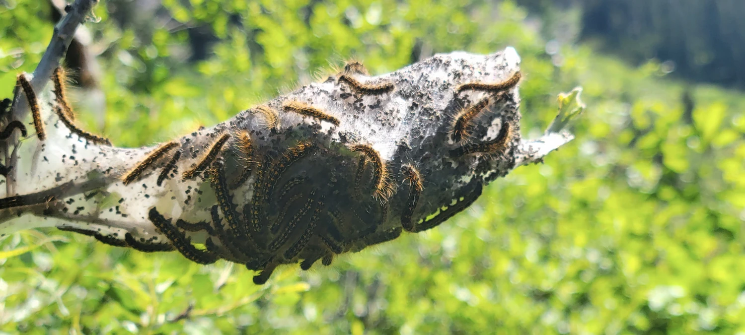
As I navigated up through the basin, the nests became more prevalent, and at one point, there were so many I had to push them aside to navigate up the trail. I was constantly having to brush caterpillars off of me. The caterpillars were inside of my pants, my shoes, and all of my other clothing. Bush bashing, I am used to. Caterpillar Bashing was a whole other experience.
After returning to civilization the following day, I would google image search them and find out they were not nests but an infestation of tent caterpillars. I hoped that this mass of bugs would turn into beautiful butterflies over time, but apparently, tent caterpillars eat everything in their path and then move on after a season or two. After reading that, it felt like they were trying to colonize me while I worked my way up the trail. Hopefully, I never have to walk through that kind of area again.
Once I reached the upper basin, where the climber's trail heads up to the gulley, the caterpillar nests were gone.
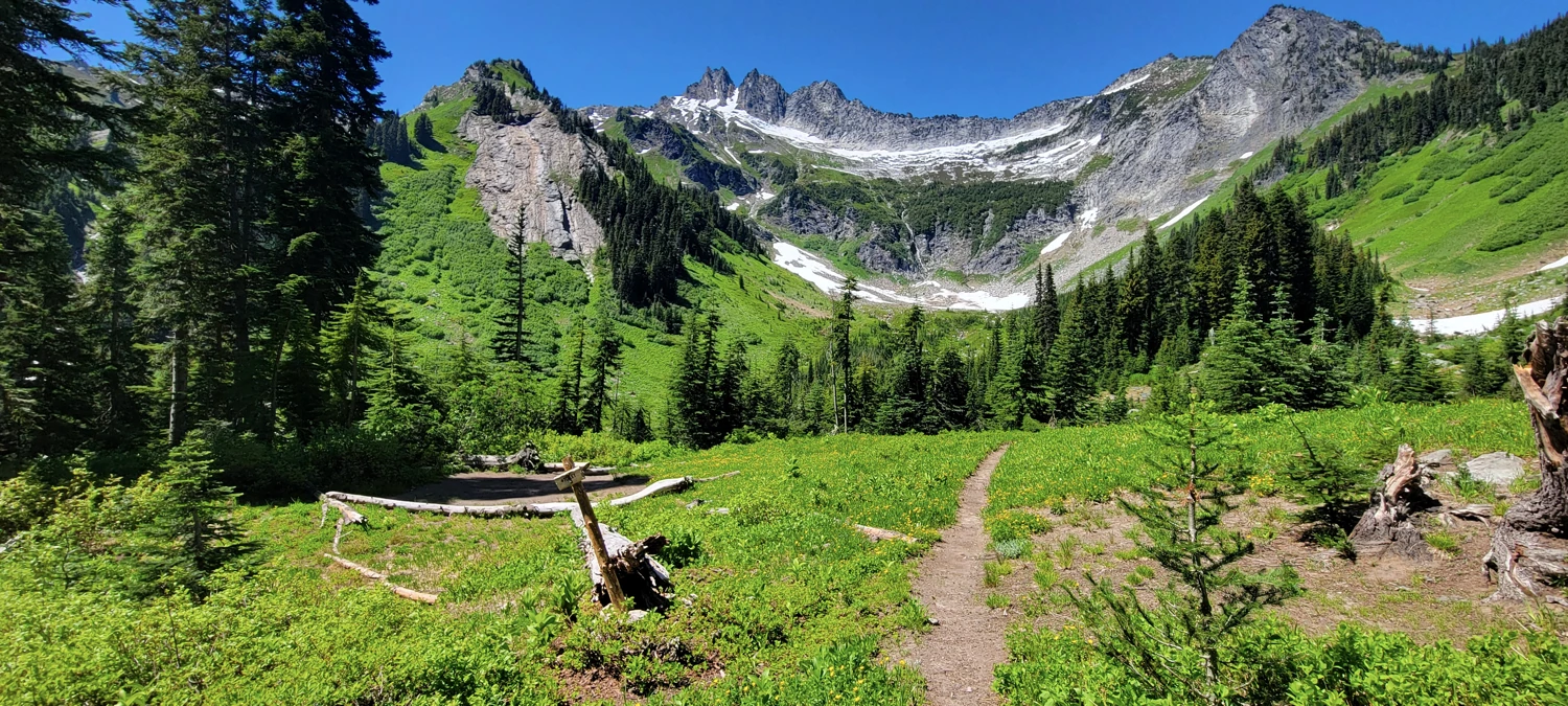
When you arrive in the central area of Boulder Basin, there are two main routes to ascend Clark Mountain. Just past the camping area that is around this location, the boulder creek trail heads up to Boulder Pass.
If you want to take the Richardson (Walrus?) Glacier route, you must follow the trail to the Boulder Pass, where you can find camping and the beginning of the glacier route.
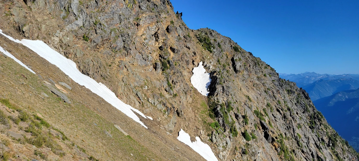
However, if you are out to follow my track, and arguably the more popular route on Clark Mountain, you must locate a small trail that heads off to climbers left of the main trail. It can be easy to walk past, so once you pass the camping area at the head of the basin, keep your eyes out for it; it should be near these coordinates: 48.03606, -120.93727 on your GPS. Once you have located that climber's trail, the way up to the ridgeline is easy to follow. It gets steep in areas and is an unmaintained trail, so keep your eyes sharp; it occasionally disappears into the bushes.
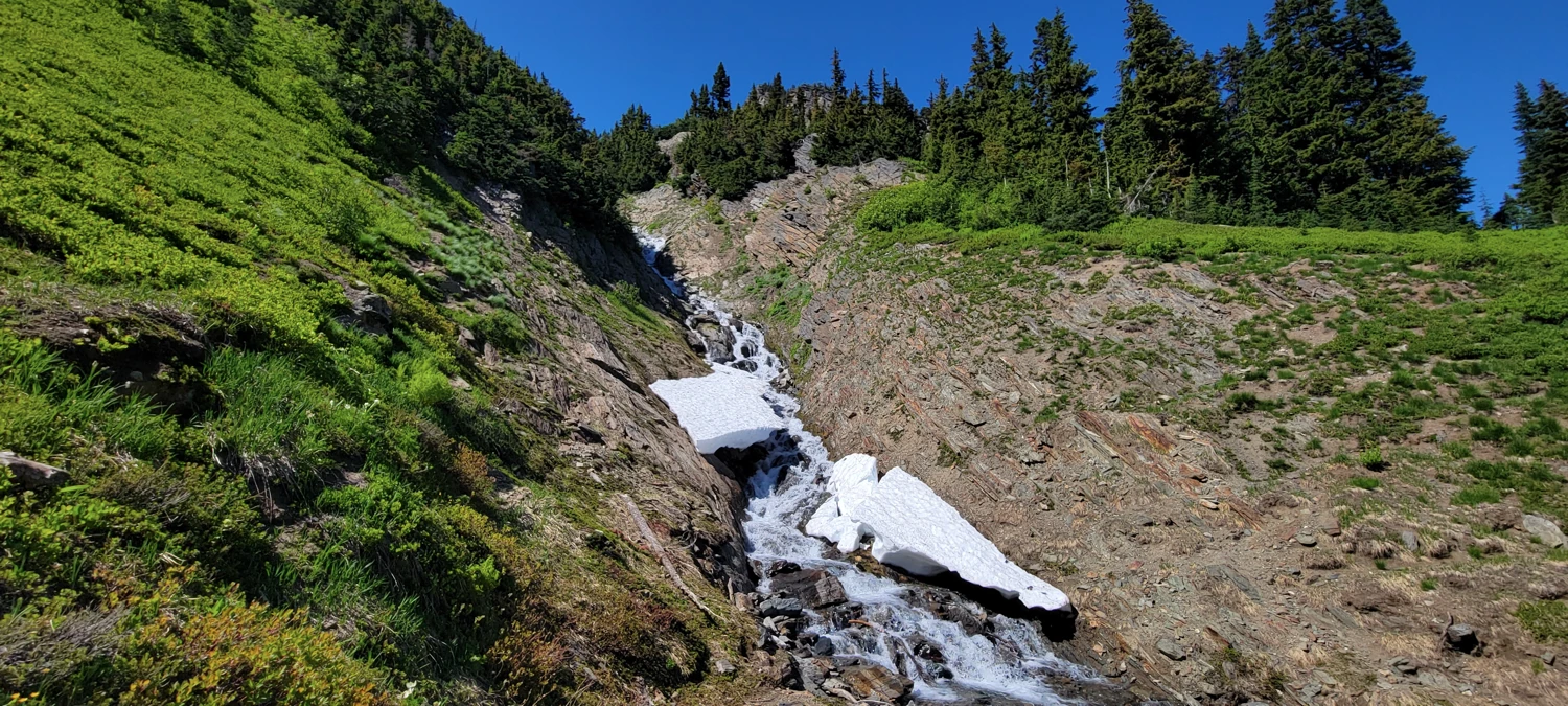
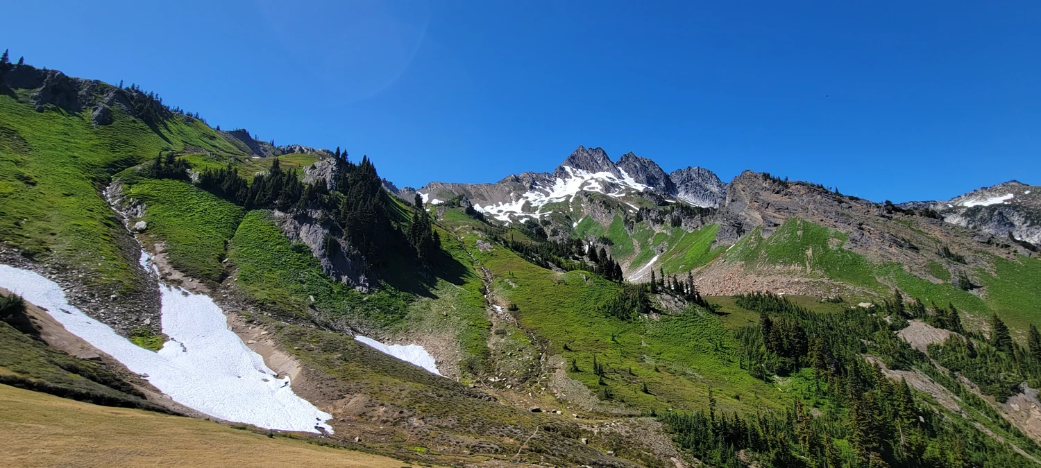
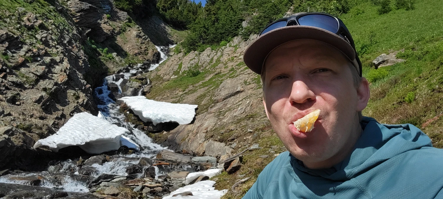
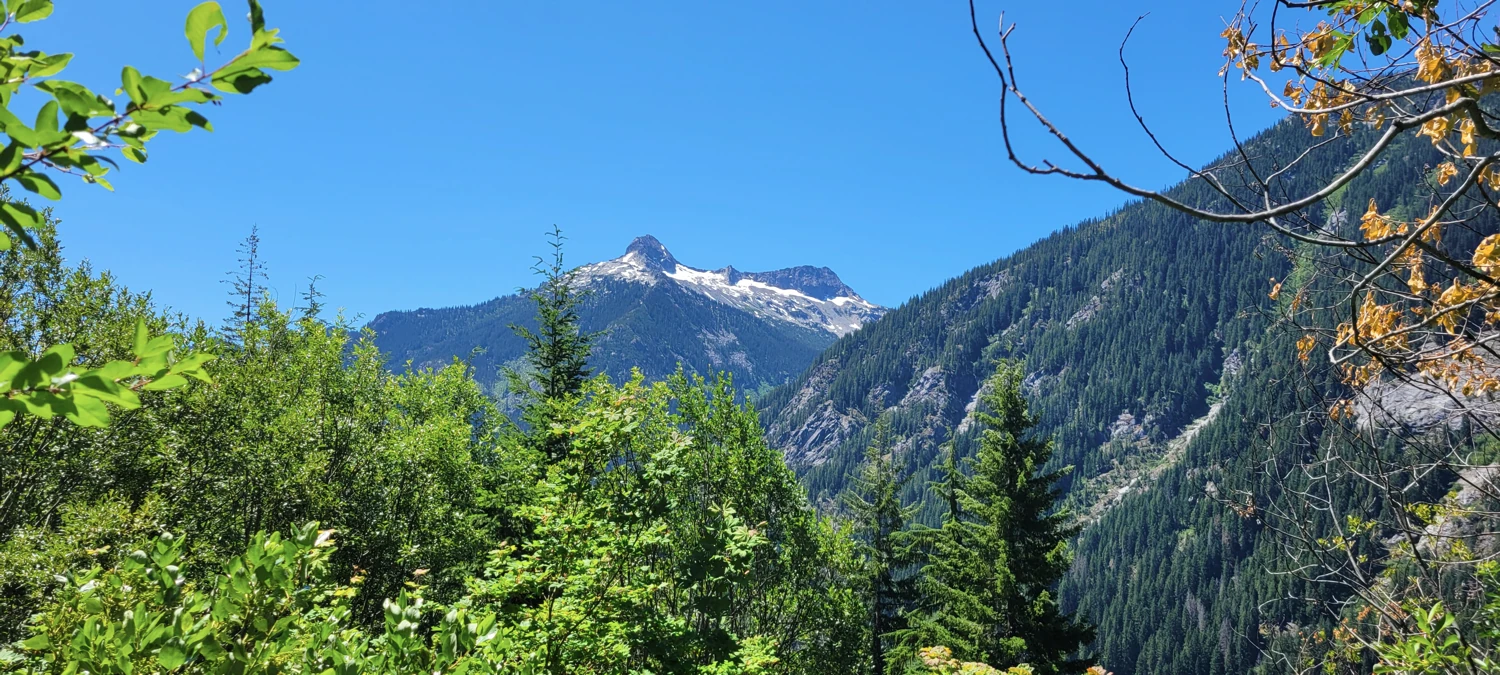
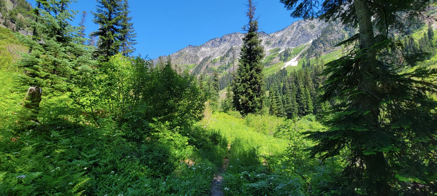
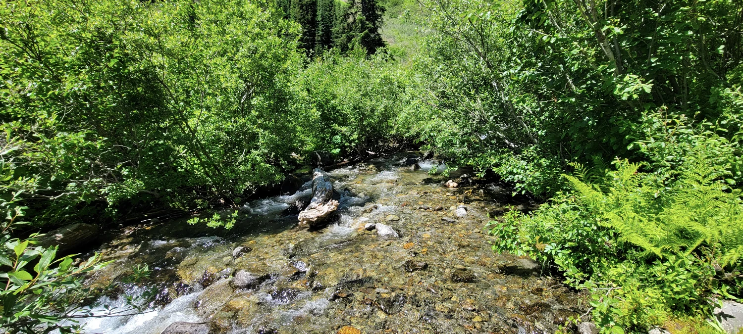
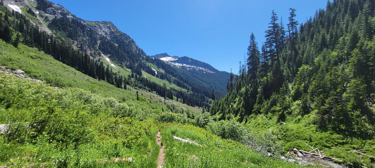
Unfortunately for me, I left my car late in the morning and was left to make this portion of the ascent in the hottest part of the day. With the sun directly overhead, it was an unpleasant walk uphill. There was ample water in all the streams, so I made a few pit stops to soak myself, eat snacks, and enjoy the views, which helped to ease the heat of the day.
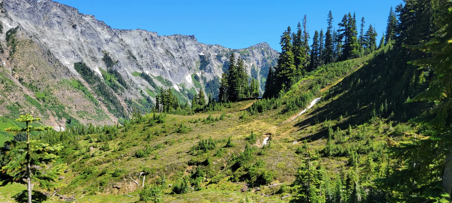
Once near the top of the hill, I worked my way up a little too high and tried my best to navigate the ridgeline proper. However, navigating it was a bit extreme for my liking (class 4+ in spots). So I chose to drop back down and use the standard approach by getting to the bottom of the ridge with a decent ramp to make a rise up to the ridgeline where I could locate the gulley for descending the other side located approximately here: 48.03462, -120.95496.
If you are looking for a bivy site, there is a couple of flat spaces near the gulley where you can build/find a wind-wall. Here is one that I used on a previous attempt.
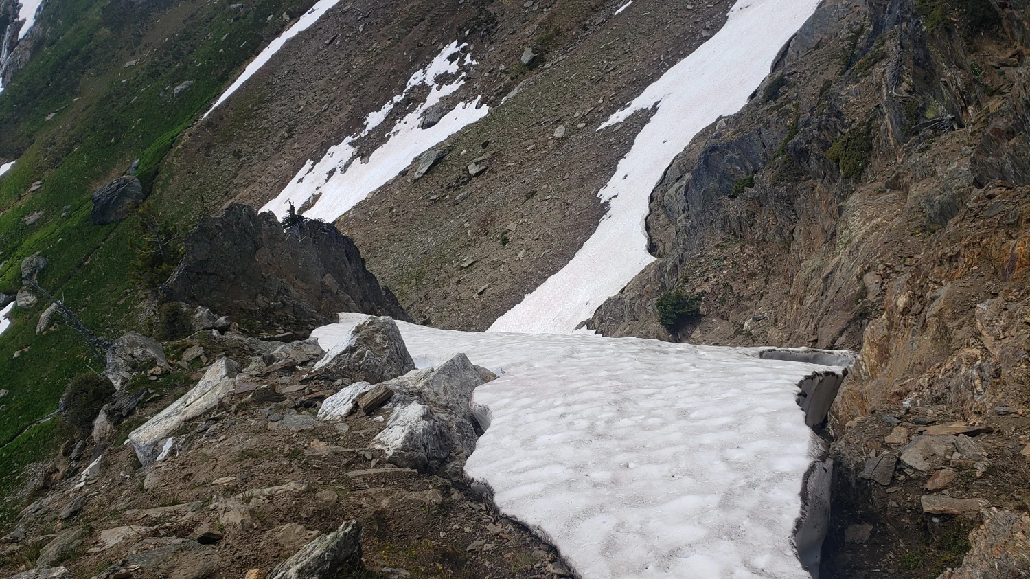
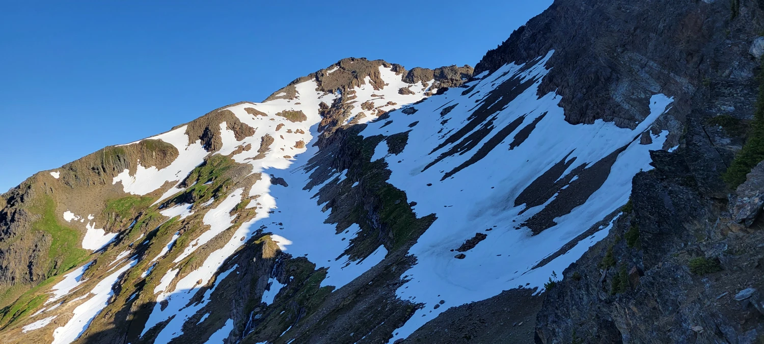
In some places, like the entry on Summit Post, the gulley is made out to be hard to locate. But, due to the number of people making ascents of Clark Mountain over the years, there were plenty of cairns and tracks for me to follow to reach the gulley. For future adventurers, I located it at 7,229 feet on the ridge at these coordinates: 48.03957, -120.95753.
Dropping down off the ridge and into the basin where I could ascend Clark Mountain was the crux of this climb. From above the Gulley, it appears you can only descend halfway before it drops into the abyss. By keeping to descenders left and clinging to the rocks, I could put together a class 3-4 scramble that led to a space near the bottom where I could traverse over to the right-hand side and walk my way the rest of the gulley.

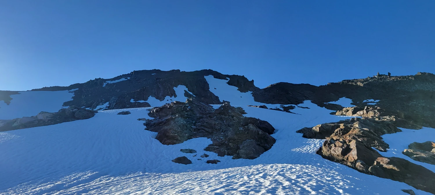
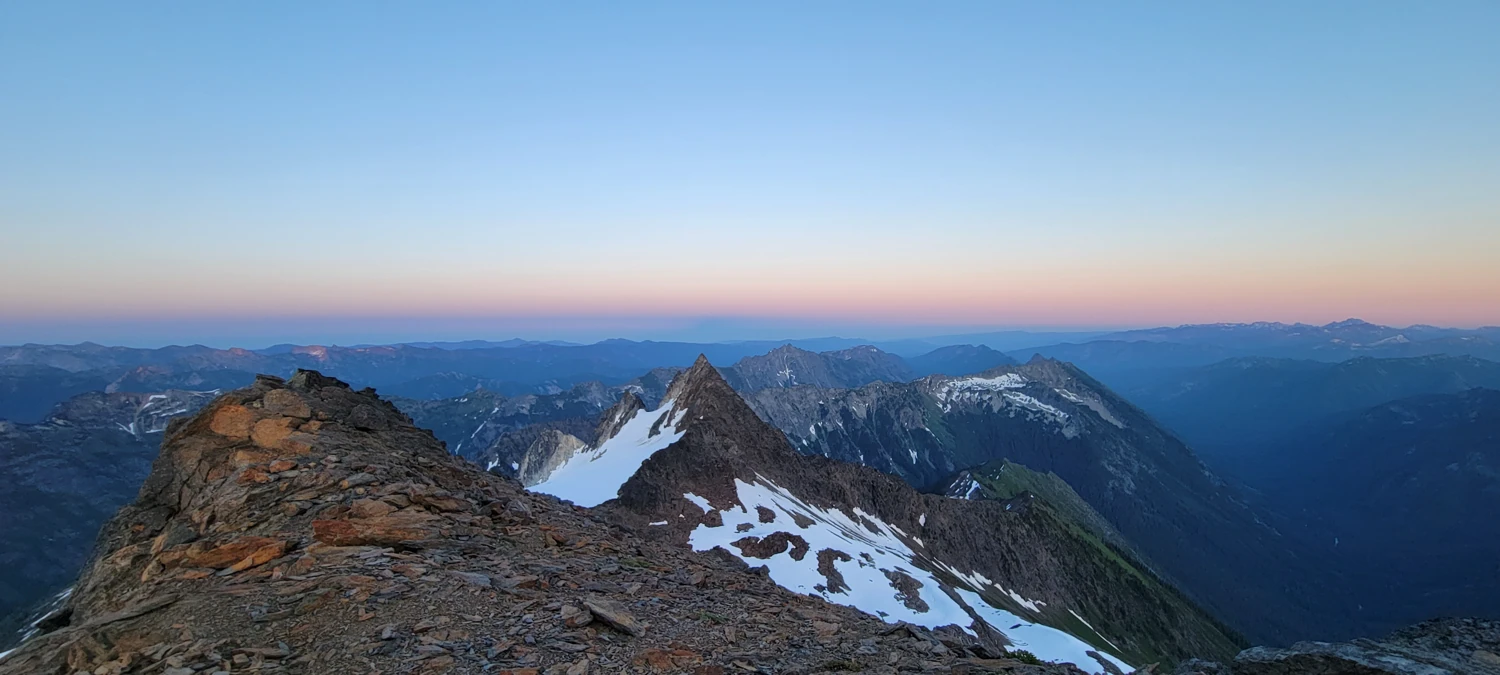
Once down the gulley, I spent the next hour or two making a rising traverse toward the summit of Clark Mountain. Everything after that gulley is straightforward, with a few scrambling sections.
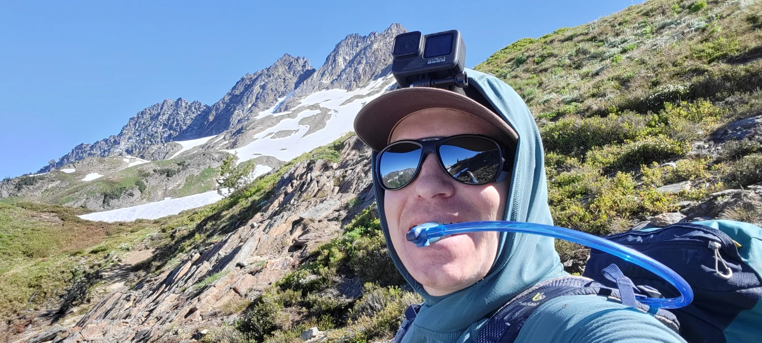
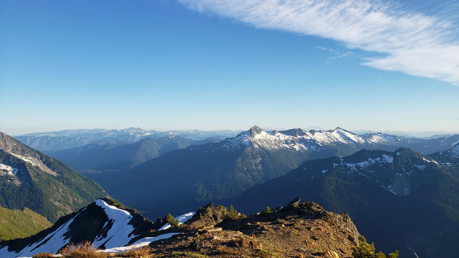
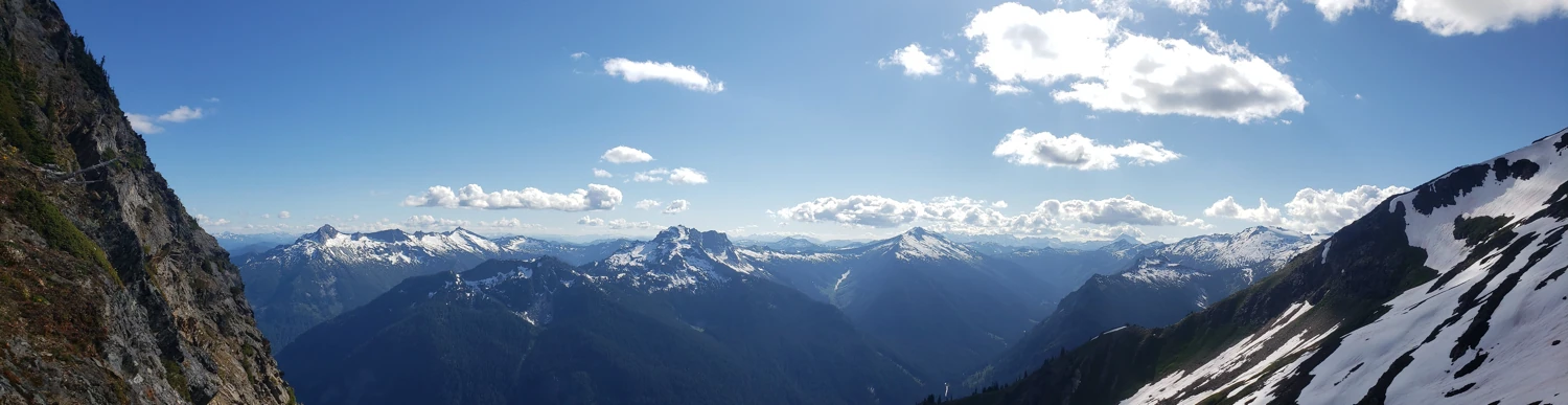
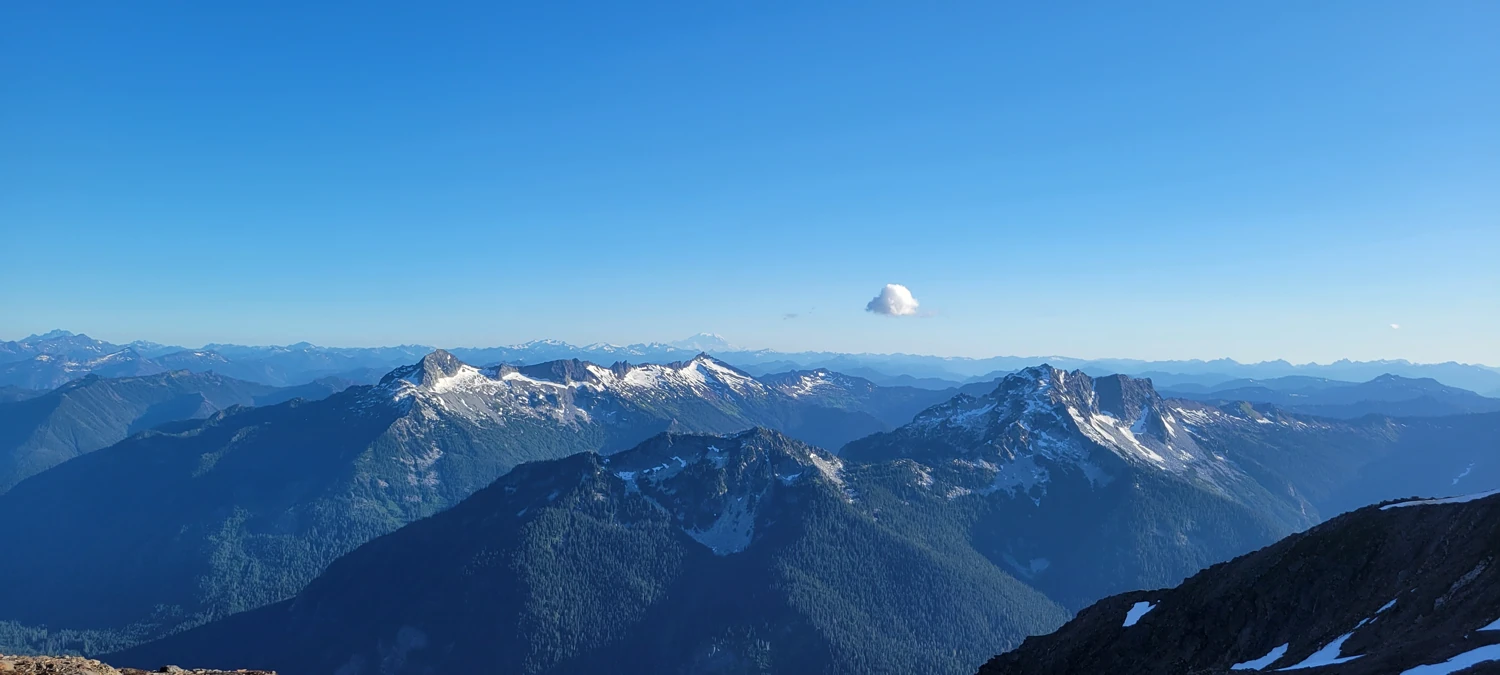
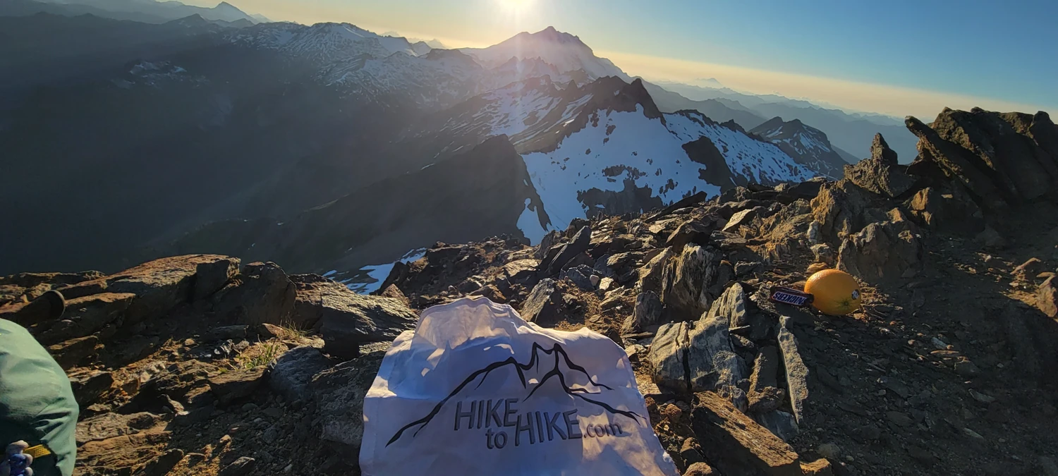
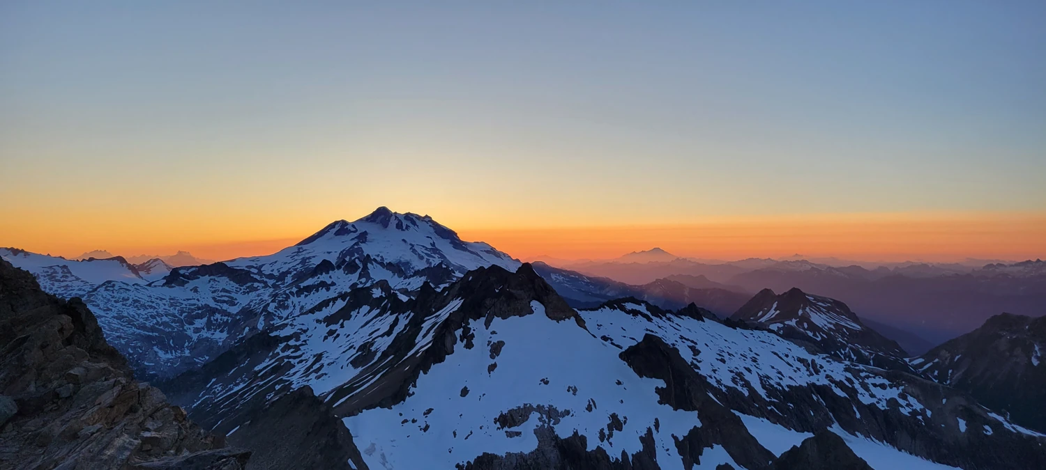
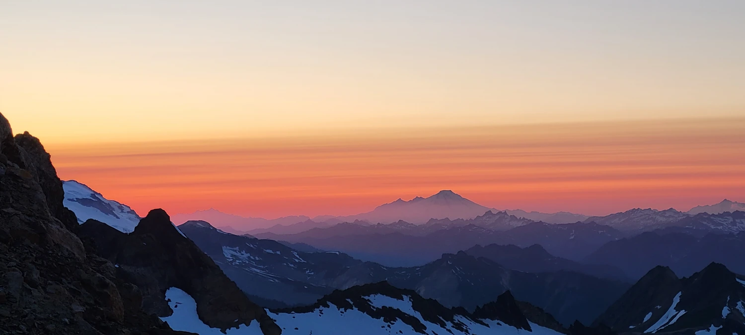
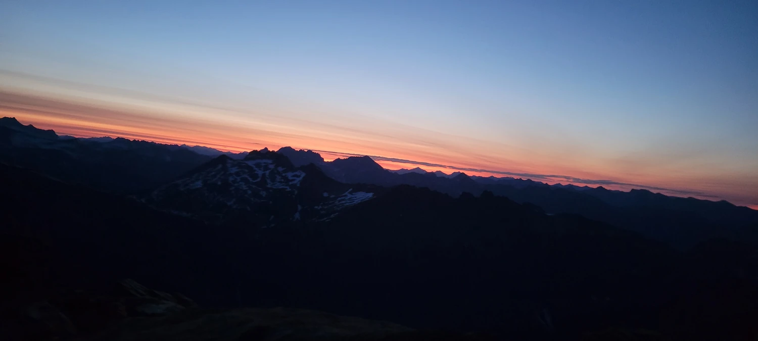
Standing atop the summit of Clark Mountain, I was ecstatic. Several years, multiple failed attempts ended with one of the most epic sunsets I could have imagined having all to myself on a Fourth of July Weekend.
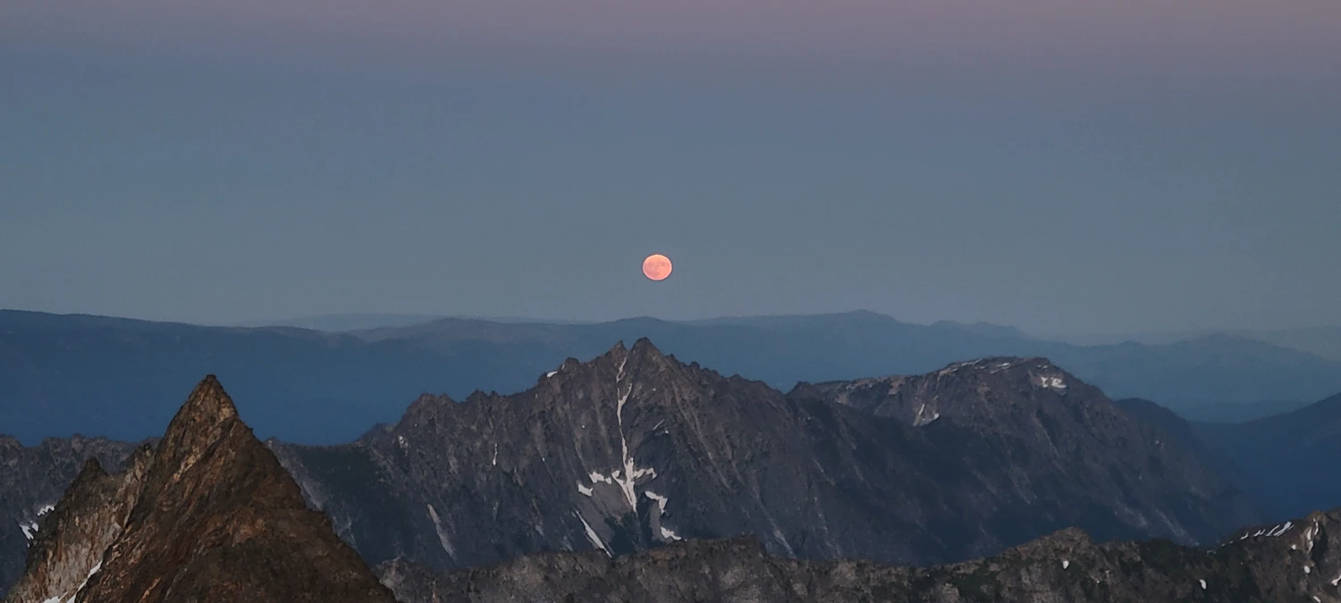
To rest for the night, I set up my lightweight bivy about 100 feet below the summit of Clark Mountain. There was a small patch of snow for melting water and plenty of rocks to make a wind wall so I could rest and prepare for Luhana Peak the next day.
Until posting this I didn't realized never took a selfie on top of the peak. At least I Planted my flag up there...
At around 1 am, I woke up with a horrible pain in my back. Something was stabbing at me, and after I came out of my grogginess, I realized that my sleeping pad had deflated. I was lying directly on the rocks and had them poking into my back, neck, and legs. To make matters worse, an intense wind was kicking up over the ridge, and while my wind wall kept me blocked as long as I was lying down, it was 0 protection if I sat up. The wind was so cold that it felt like ice washing over me every time it blew.
So, in the middle of the night, I had to roll off my sleeping pad while remaining behind my wind wall and attempt to investigate where the pad was leaking. After about 15 minutes of inflating, pressing, and repeating, I located a small hole on the top of the pad right along the seam.
Despite my best efforts to patch it, I could not get anything to hold a seal. So, I spent several hours inflating the pad and trying to rest while it deflated for 20 minutes. The entire time, the wind kept howling. I may never be happier than I was that morning to see the sunlight creeping over the horizon.
While I had wanted to keep going forLuhana Peak, the reality was that my back was in severe pain, I had maybe 3 hours of sleep, and I still had a long way to go back to the car. After staring at what would have been my second goal for the weekend, I decided to head back home for an icepack and some food.