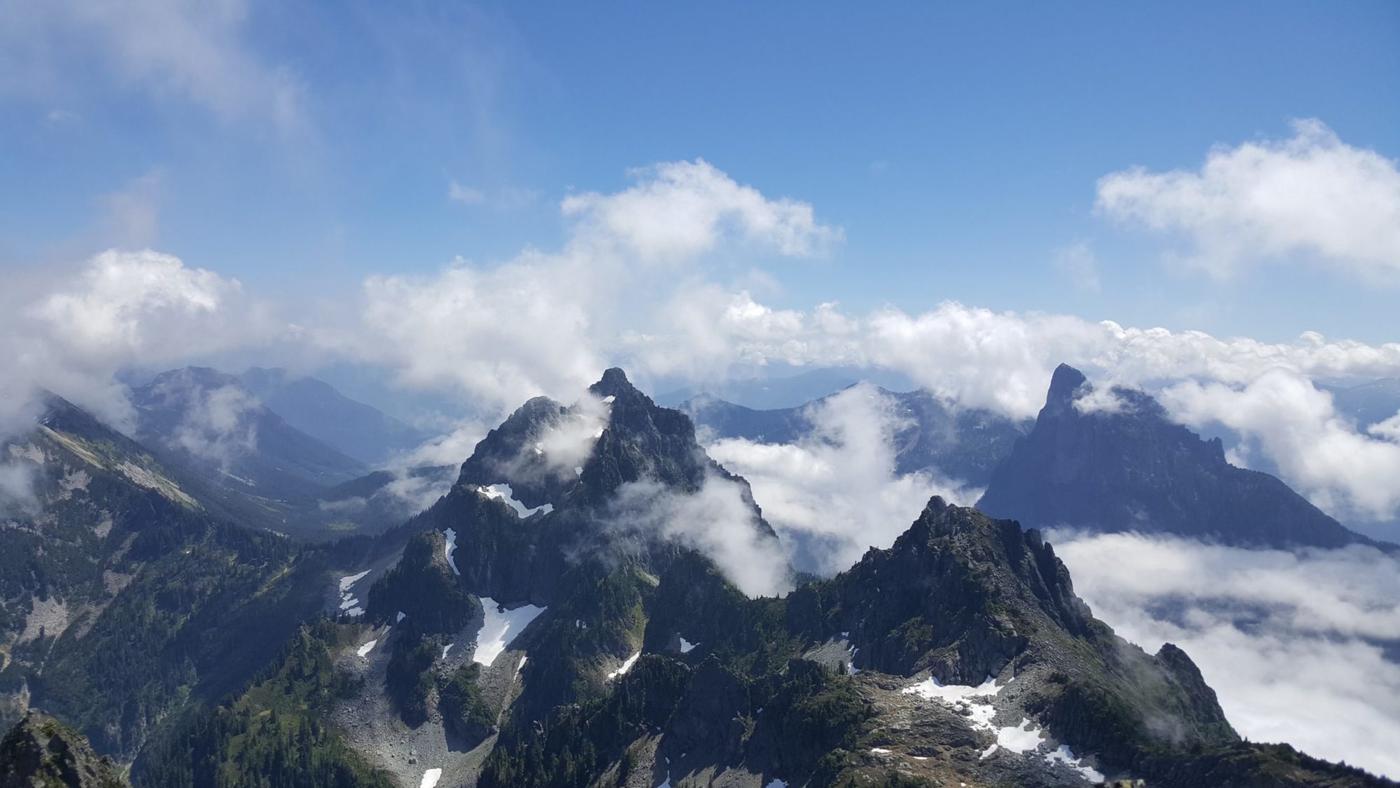
Before heading out to Climb Gunn Peak, I had done an extensive amount of research. For the Wild Sky Wilderness area of Washington it’s seen as one of the most difficult summits to reach. It is also the tallest in the wilderness area. After climbing its relative Mount Baring, I wondered what I was getting myself into. While researching the route, I found many who said once was enough, and now that I am done I completely agree.
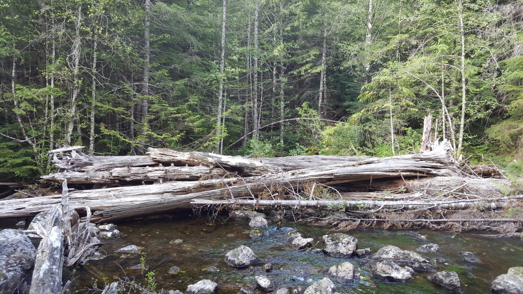
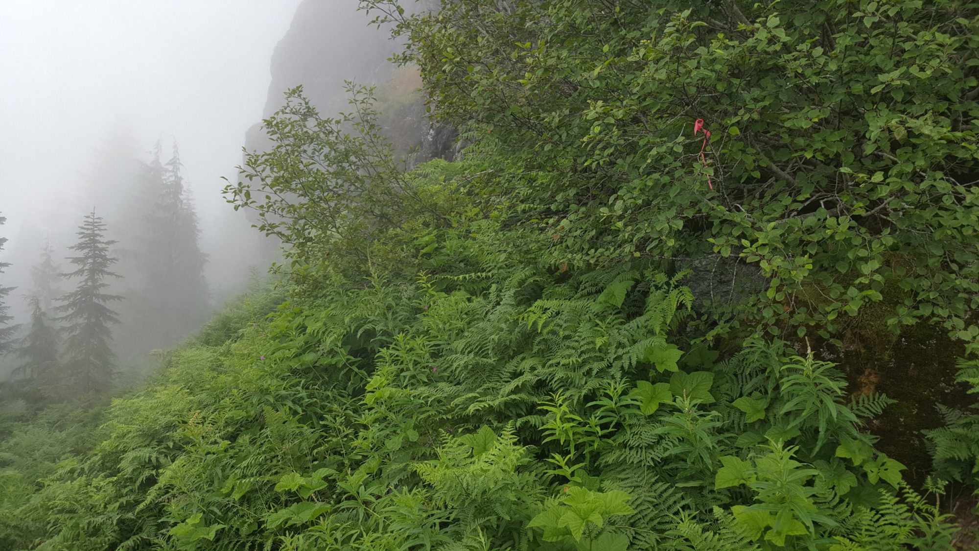
The trail is no-nonsense. From the Barclay lake trailhead, walk back down the road about 1/4 of a mile, then turn right onto an old forest road. When you see the fire pit, turn right, and follow the obvious trail to the log jam. Once across the log jam go a hundred or so yards into the woods. From here you climb, climb and climb some more. For the first mile or so it is little more than a slog through woods up a very steep hill.

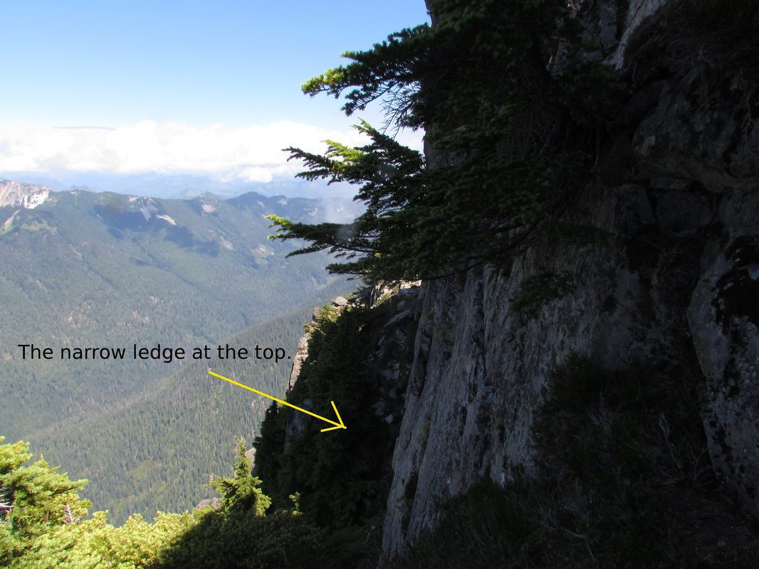
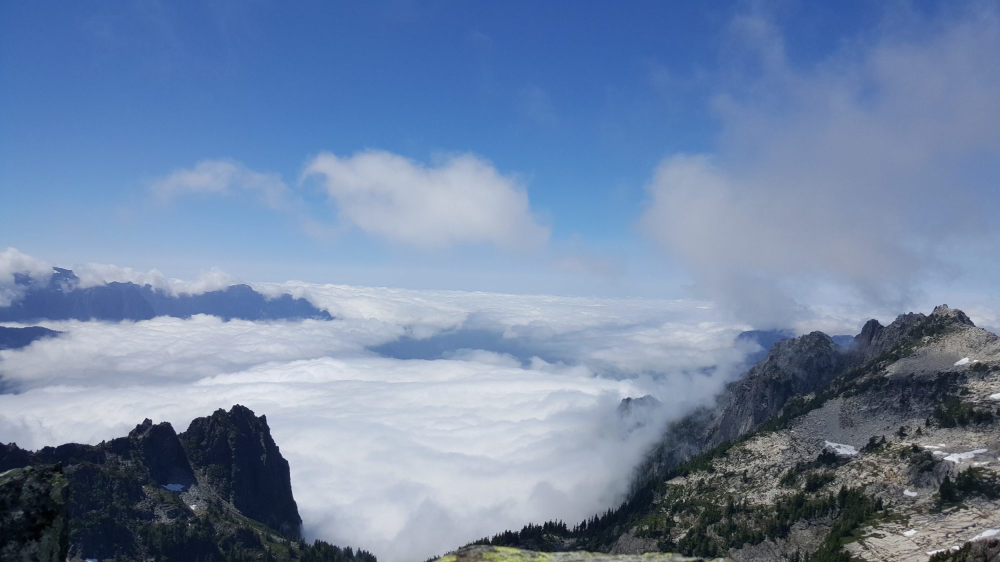
After this the narrow ledge that leads along the north side of the mountain can be the crux. Be very cautious if it is wet. The ledge is little more than a foot wide and has no safety net for a fall. Its mentioned in every source I found but I underestimated it until I saw it. This route is tough by any standard you should only attempt it if you are in the mood for lots of pain. The payoff is some fun scrambling, route finding, and a summit that you should have to yourself. Gunn Peak’s summit register reveals very few climbs each year all spaced far apart. For more climbing options in this area you can always check out the climb of Mount Baring or Merchant Peak. Just be warned that all the peaks in this area are tough rugged climbs. They will test your patience.