


After two North Gardner and Gardner mountain attempts last year, I wanted to bag these massive peaks this summer. On one of the attempts, I climbed nearby Abernathy peak and tried to use the connecting ridgelines to make all three peaks a one-day event. Unfortunately, it was during a heat wave and with no water sources the trek quickly began to feel dangerous, so I bailed. Then after the Cedar Creek/Delancy fire finally subsided I drove over to take another chance before winter set in without checking the trail conditions. Of course with how serious the fire was, the trail was shut down for safety reasons. This round I had some time off work, excellent weather, an open trail, and some extra determination to make the summits happen. After the fire, tree cover along the trail is minimal so I decided to start at night to limit the effects of 90-degree heat on my water needs since the trail also lacks substantial water sources. With all that in mind, I set out from the parking lot at around 6 pm on Sunday.


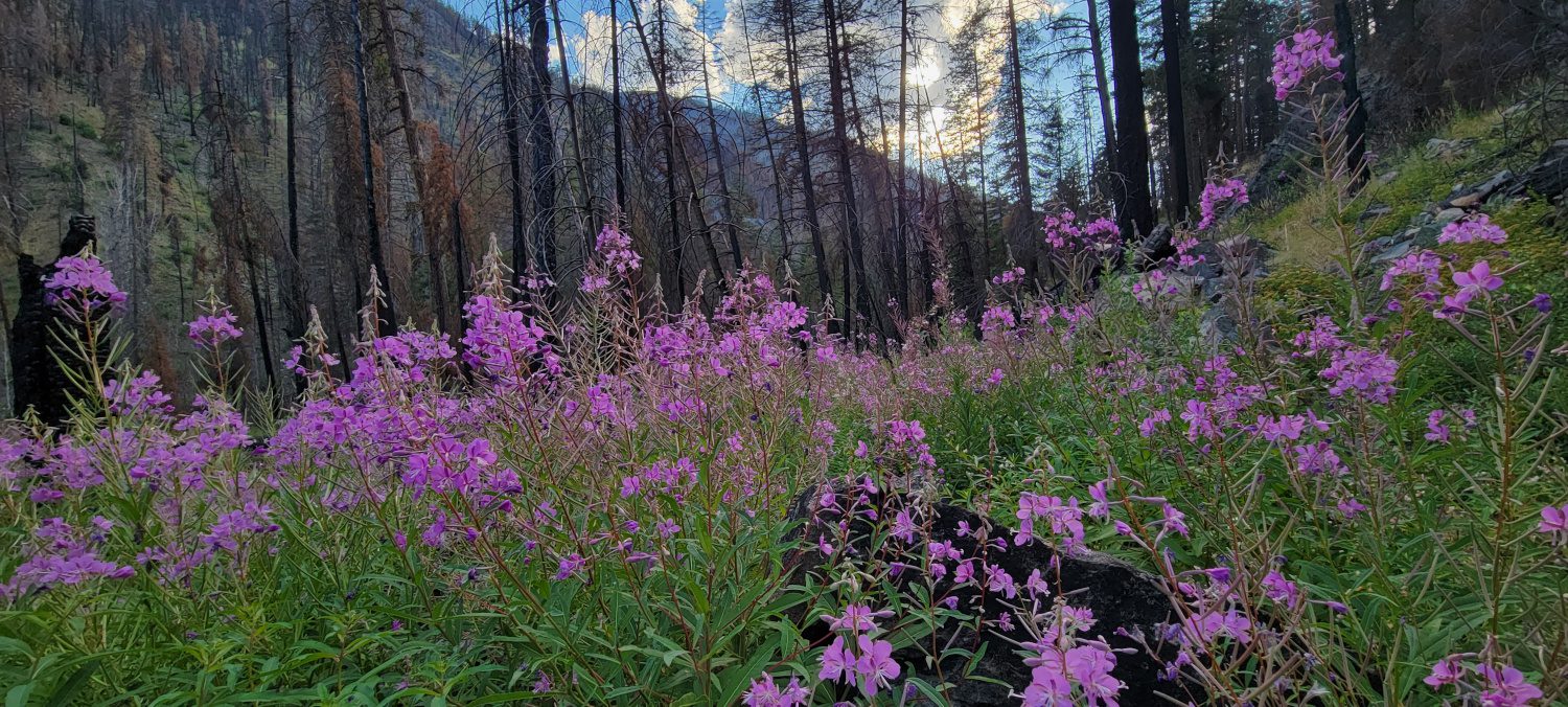
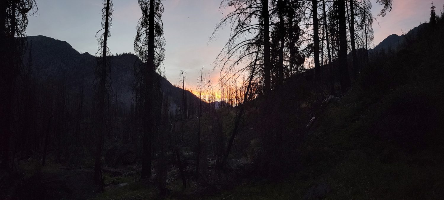
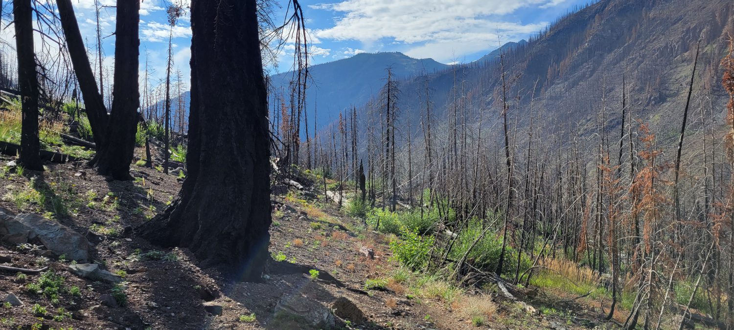
The Wolf Creek trail is easy to walk as it rolls up and down, and while the fire did some significant damage, there were surprisingly few blow-downs to work around on the trail. For most of the Wolf Creek Trail, I had to walk in the dark since the sun fell behind the mountains quickly after I headed out. But I did manage to capture a few photos on my return. There are some beautiful areas where wildflowers have started to return and others where the trail is just a charred remnant of a forest.
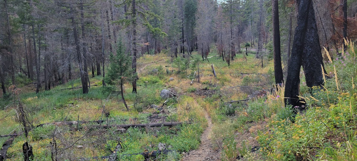
The one place I had some serious issues was when the trail starts to head uphill into Garnder meadows. In the dark, the trail is difficult (if not impossible) to find at times. There were multiple points at which I had to backtrack and search for where the trail winds through the downed logs, grass, and at times thick brush. There is at least one creek crossing that is not obvious, even in the daylight, and it became very time-consuming to make any headway.
By around 10 pm I had made it to the area where it is time to head uphill and start the climb. While I had a map that provided an excellent turn-off spot to the climbing route, I was running low on water and heard a running creek that I thought I could use and then just cut over to where others go up. Unfortunately, this decision ended up in an hour and a half battle with trying to make my way across a gully that is covered in slide alder and brush. Not fun in shorts and a t-shirt. I made it across but the struggle came with multiple cuts and scratches up and down my legs.


Be cautious and head uphill around a very large bend in the Wolf Creek Trail. There is an excellent view of where to turn and go up on this GPX track. I used it on the way down and should have followed it much closer on the way up. Most of the way up the first part of the hill is straightforward through some low brush. That is until you reach the scree slope.
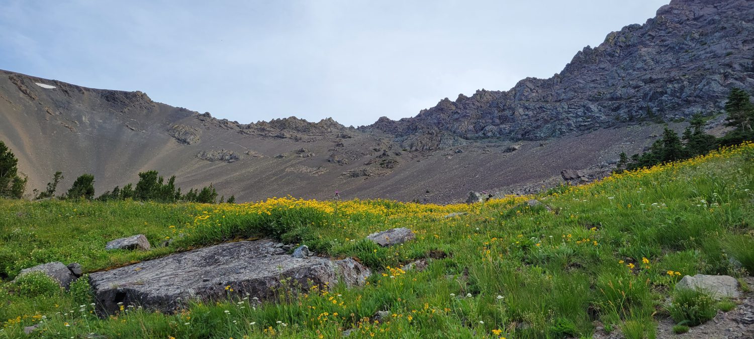
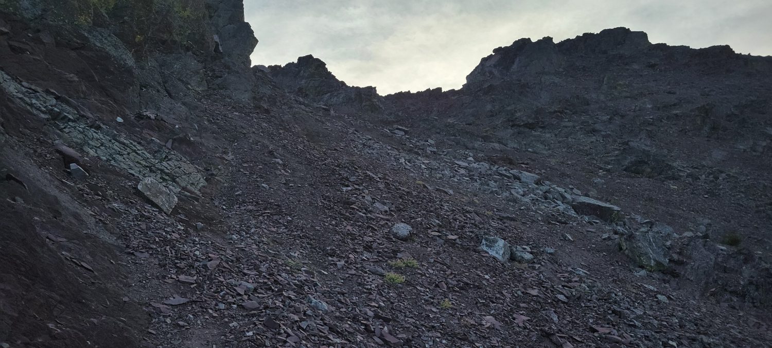
I still cannot decide if doing the scree hill in the dark was better or worse than it would have been during the day. The slope is about 1400ft of elevation gain over about 0.5 miles. It is covered in marble size rocks with sand underneath and every step forward feels like going back 6. In the night I couldn’t see how far I had left to go which felt like torture. In the day knowing how much farther could be worse. Whether it is day or night, this is the crux of the North Gardner and Gardner mountain climb. It is painful both physically and mentally. The one saving grace you might find is that there is a faint climber’s path going up the hill that is a little more packed down and easier to walk. It was incredibly difficult to find at night, but when I saw it during the day it seemed like it should be fairly obvious.
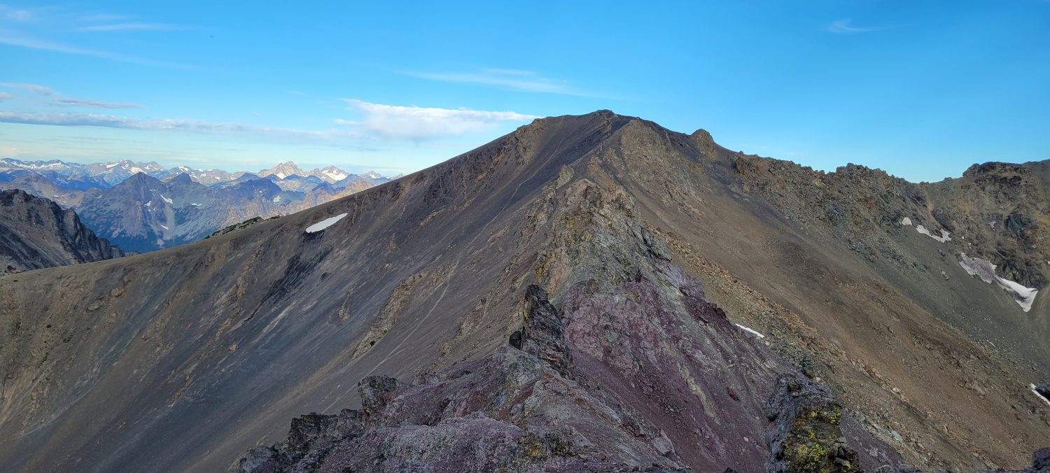

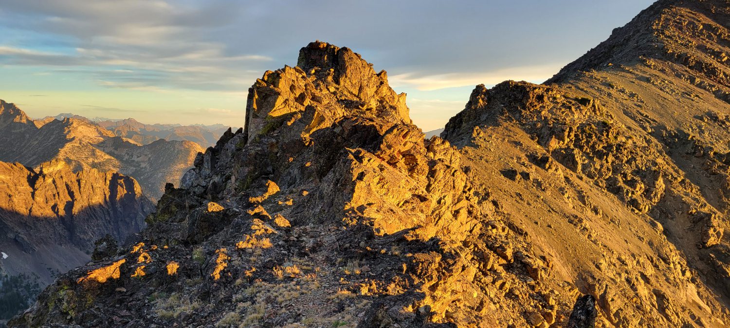
Once I was on the main ridgeline that connects North Gardner and Gardner mountain, I chose to head for the larger of the two first, North Gardner mountain. It was pushing midnight at this point and I was getting pretty weary but felt like I could still take on the ridge scramble before a significant break.
At night, the ridge is kind of a monster. It has multiple large pillars of rock and when there is no light on them it is difficult to see where to scramble or work around them. Several times I chose to go left and ended up taking on some 4th class scrambling with a headlamp on. None of the moves were incredibly difficult if you are experienced. But there is certainly some extra fear when the exposure below you looks like a black abyss.
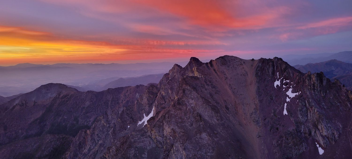
From the top of the ridge above the scree field to the top of North Gardner Mountain took me about one hour. I let out an overjoyed shriek when I arrived, signed the summit register (noted it was 1 am), and then threw out my air mattress so I could go to sleep. I wanted the trip to be as light and fast as possible for this trip so instead of a sleeping bag, I threw on my puffy, bottom base layer, a hat, and some gloves. I curled into a ball and just stared up at the sky.
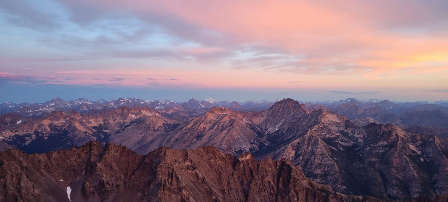
For the first section of this trip, I can say that was the best moment. Laying on top of Washington’s 20th highest peak under the stars with no one else around and just enjoying the silence.
Around 2 am I finally drifted off to sleep.
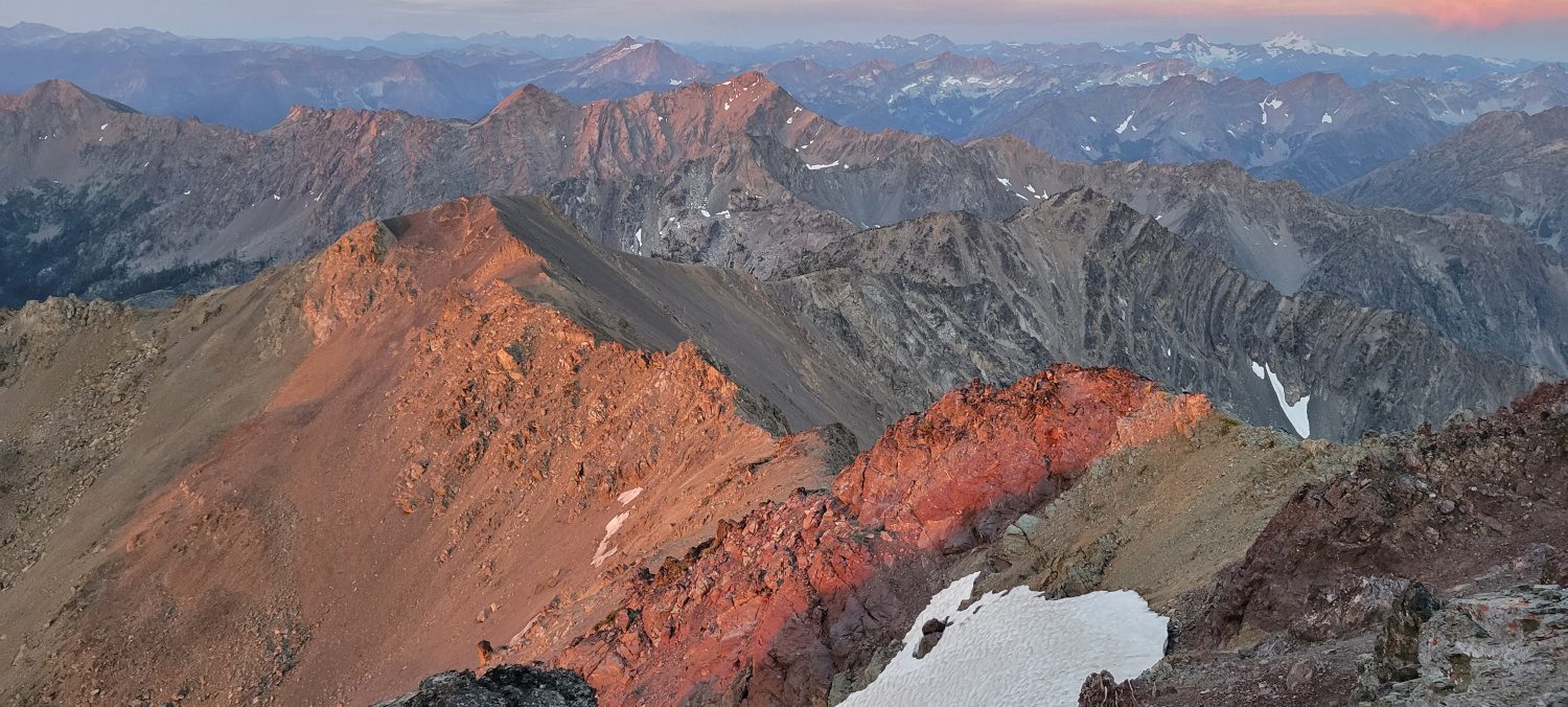
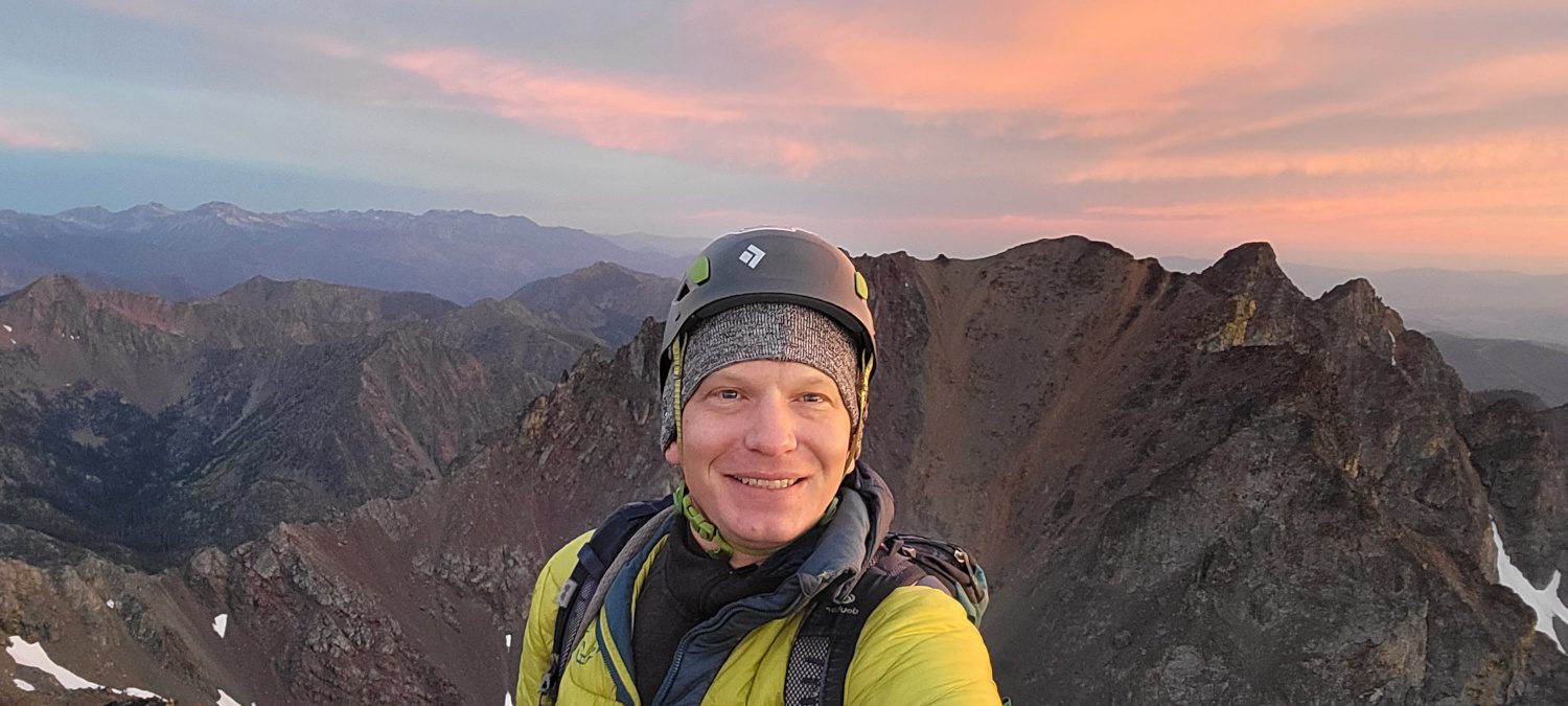
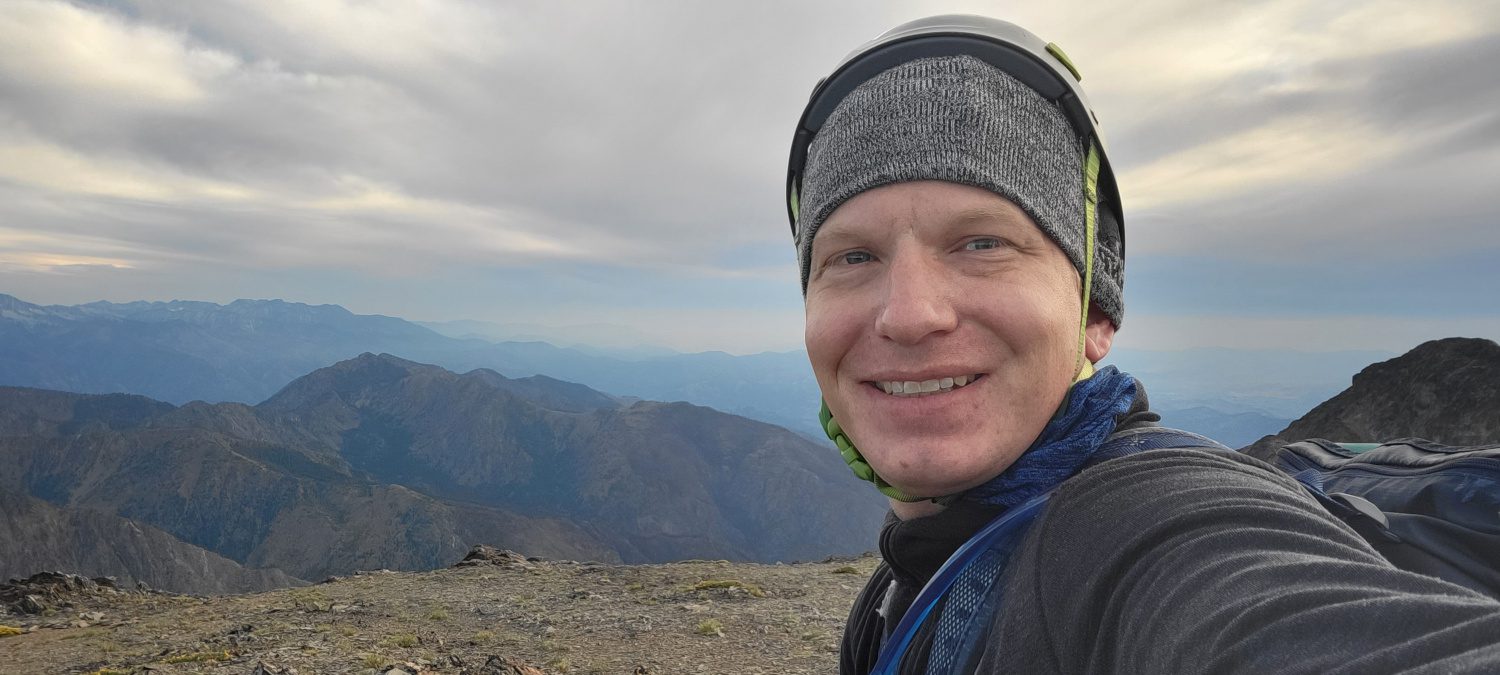
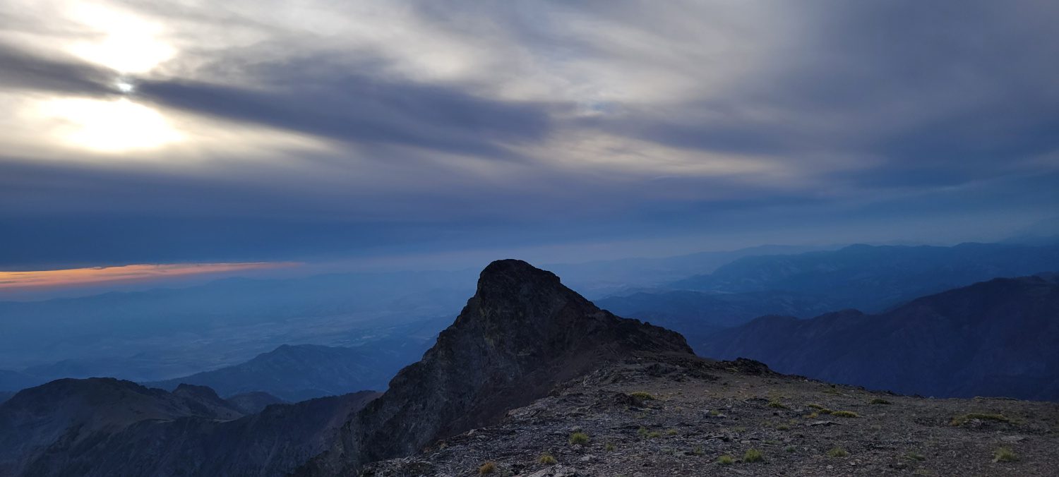
To make sure I was not stuck hiking out in the high heat of the day, I wanted to be up before sunrise and head for the second Gardner mountain. My alarm woke me up at about 5 am and I munched on some crackers, a cold tuna packet, and some dried fruit while I watched the sunlight start to dance over the horizon. Because I had arrived at such a late hour I did not have a chance to take a quality summit photo on top of North Gardner mountain. Once there was just enough light, I shoved everything back into my pack snapped a quick summit shot, and headed for the second peak of my journey.
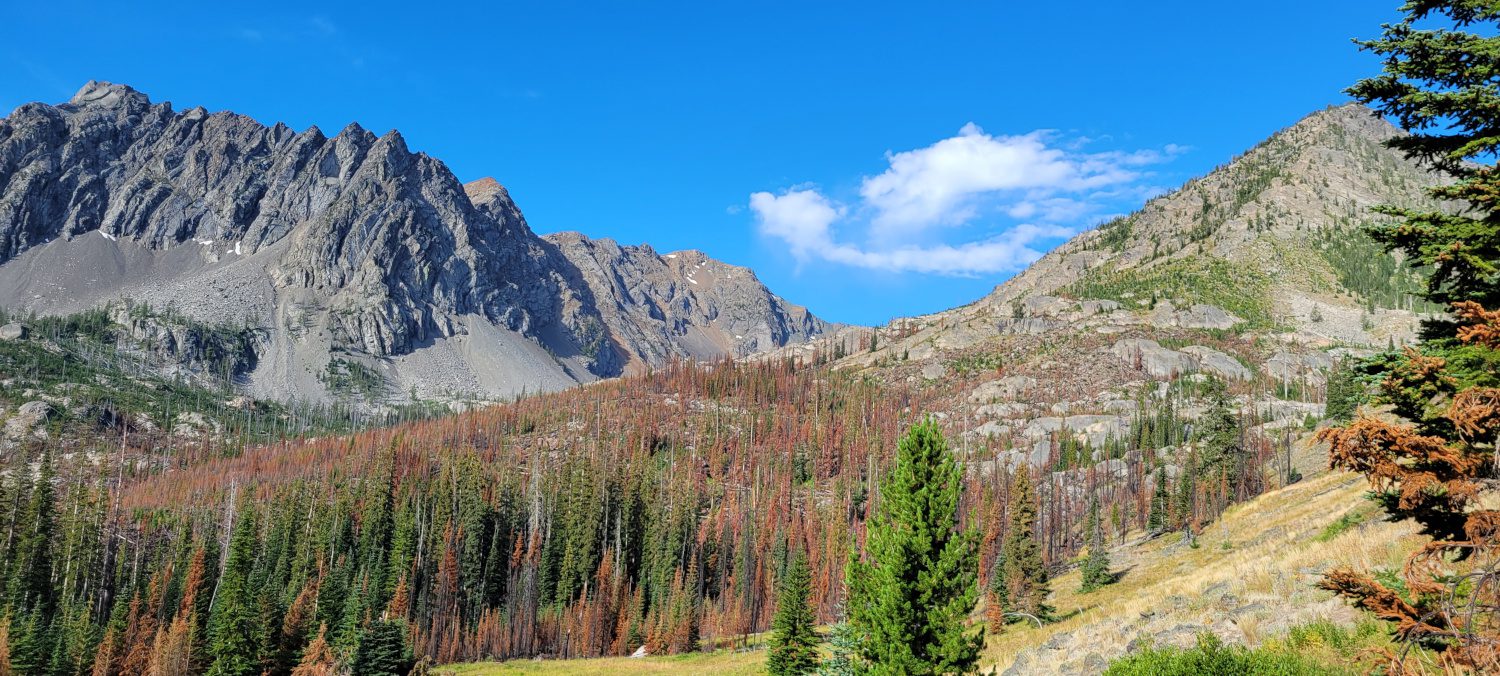
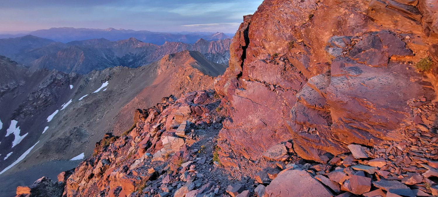
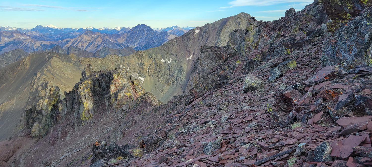
From far away the summit ridge of Gardner mountain looks really imposing. While assessing it from the top of North Gardner mountain I was wondering how anyone can get up the massive spires that I was seeing. Luckily, perspective is everything and there is quite an easy path leading along the climber’s right of the ridge. In fact from where you exit the scree field on the way up to the top of Gardner mountain only took me about 45 minutes. Most of it was walking with a couple of hand holds here and there.

My one word of caution would be that the rock up here is really sharp. While climbing back down on an innocuous hand hold I managed to slice my palm open with ease just by grabbing one small spot. Be careful what you grip up there.
The walkout was uneventful. Just hopping over some burnt trees and slogging through the sun back to the car. While at one point I remember thinking “I just want this over with now” I quickly thought about my recent adventure up the West Fork Buttermilk trail to climb Star, Courtney and Oval Peaks. After that kind of adventure, it makes you really appreciate that all you are doing is walking in the heat. While it was awesome to bag a couple more of the Bulger peaks I don’t see myself going to climb North Gardner and Gardner mountains on a regular basis. The approach is incredibly long, the scree hill is a nightmare and the only real reward is the scramble along the ridge up North Gardner mountain. The payoff just wasn’t really there and you can get similar views with an easy, and more accessible, climb like Abernathy peak.