


Since many, including myself, tend to skim over internet readings I will say this first. Please, do not use my descent route down the east side of Oval peak shown on the map listed above. The boulder field is incredibly dangerous and I still regret taking it.
I was going to take on these three peaks last year. When I got to the trailhead it was clearly not going to happen because I could not even find a way across the West Fork of Buttermilk creek due to how high it was at the time. So, I slept in the parking lot and then climbed nearby Hoodoo peak the next morning instead. This time around I religiously watched the weather to make sure that a crossing was going to be possible and, when I saw my moment, I made my plan and headed for the trailhead.
From everything I read before taking on these three peaks, the West fork Buttermilk trail has lacked maintenance for years. So I expected a tough day out. It was to be far worse than just tough.
Right at the very start of the trip, everything was going south. When I got to the trailhead it was nearly midnight and I needed to use the bathroom. This bathroom was my first taste of just how neglected the West Fork Buttermilk trail (and trailhead) really is. Without thinking I sat down on the toilet and after getting to business immediately felt a huge splash of water hit me. As fast as I could I stood up and realized the entire toilet was flooded to about 2 feet off the top. There was everything from chunks of ice to toilet paper floating in the thing. It looked like it hadn’t been pumped out in years and best of all it was now all over me. I had to strip clothing, bathe in with baby wipes and bottled water, and then dig a hole so I could finish. So yea, the trip was off to a great start…late and literally covered in shit.
By now it was 1 am (my original planned start time). I was exhausted, wondering if I have an infection from “the incident” and badly wanting to get out on the trail. Despite that, I convinced myself that I should at least get an hour or two of sleep and then head off. Of course, enough things had not gone wrong for the day. So it only follows that after setting my alarm I slept through it and woke up 2 hours late.
When I finally got on the trail it was 5:30 am (over 4 hours past my planned start time), I still felt covered in god knows what came out of that toilet splash, slept in the front seat of my car because I forgot my sleeping pad at home, and was sure at this point nothing else could go wrong.
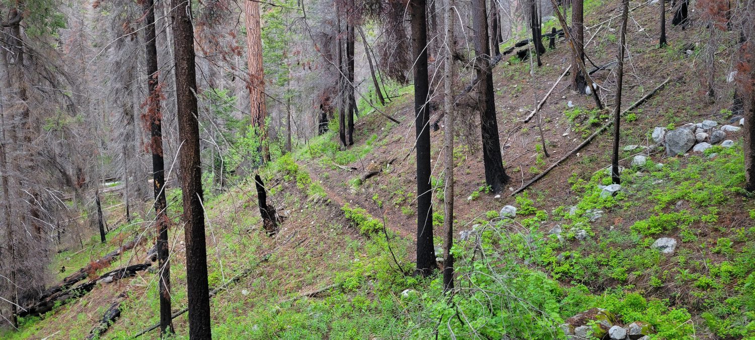
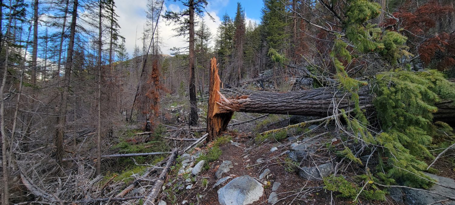
Finally, on the trail, I think I did my best to just blank out how bad the entire trail is. Because of that I took very few photos. When people on their reports say that it is covered in blowdowns I thought maybe there are a few. But no, the West Fork Buttermilk trail is mostly blowdowns. There are brief sections of trail here and there but even finding them can be a bit of a pain. For the most part, I just watched my Gaia map and guessed where to go and seemed to do okay with navigation.
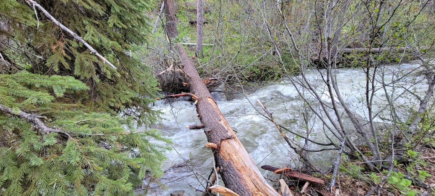
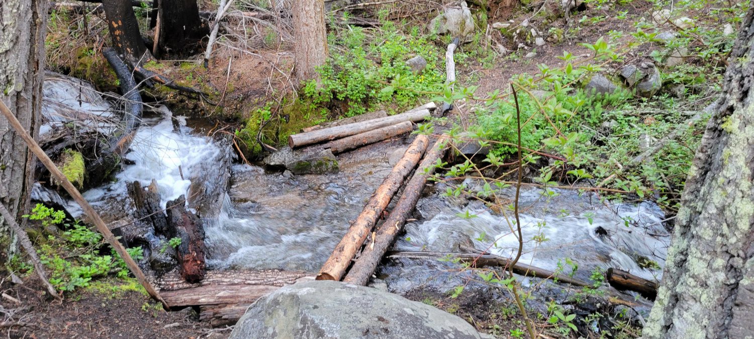
One of the worst parts of navigating the West Fork Buttermilk trail is the creek crossings. Doing this in June the creeks were all running very high. There are no bridges and for most of them no rocks to hop on either. There was more than one time I found myself climbing a hill just to find a log so I could descend again all and repeat at the next creek. Honestly, just navigating this trail is one heck of an adventure in and of itself.
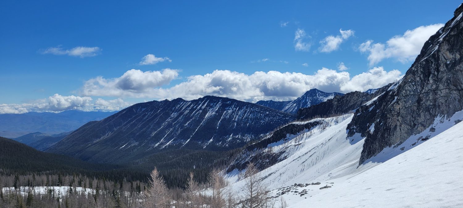
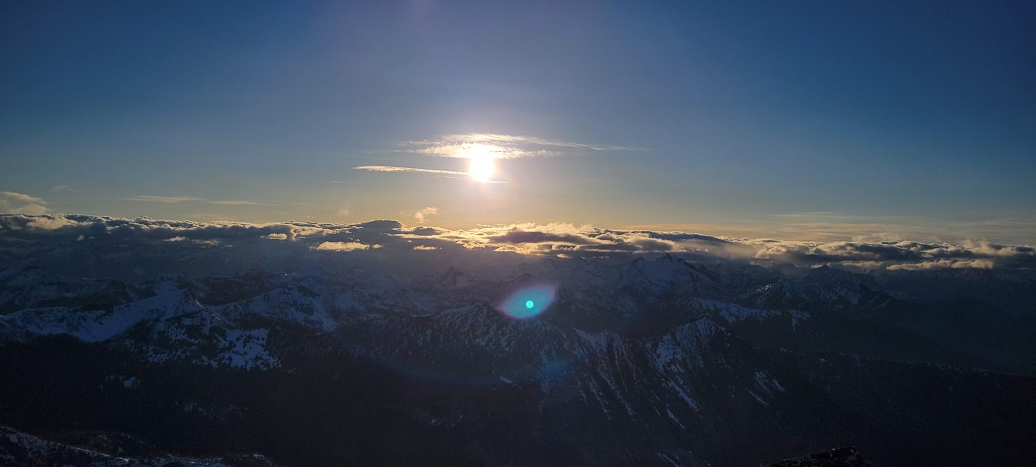
At right around 6000ft is where the snow started. It was firm and easy to walk on and I felt like I had my first break for the day. As the woods started to open up I could see Star peak looming above me, my pace quickened a bit with the better trail conditions and finally, I started to feel the blissful feeling of climbing.
The next bit up to Fish Creek Pass was thankfully uneventful and once I arrived I made it a point to sit and take a nice long break before heading for Star peak.


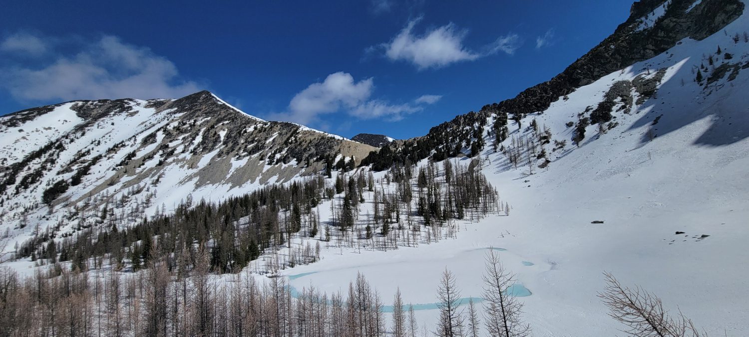
To be able to get to Star peak from Fish Creek pass, you must first descend into the basin and pass Star lake. While the descent is only a few hundred feet it does feel a bit frustrating after having just made a 3800ft ascent through nightmare trail conditions to get to this spot.
Once I had made it down to Star lake I checked my Gaia map to see where others had made their ascent up to the main ridge line on Star peak. From the tracks I brought along it looked like everyone aims for a wide section on the far end of the ridge. But, while studying the peak’s ridge line it looked like I could make a steeper but shorter ascent. From everything I can tell it looks like a choose your own adventure spot. For my choice, I ended up doing some fairly precarious moves on icy snow with huge amounts of scree and talus underneath.
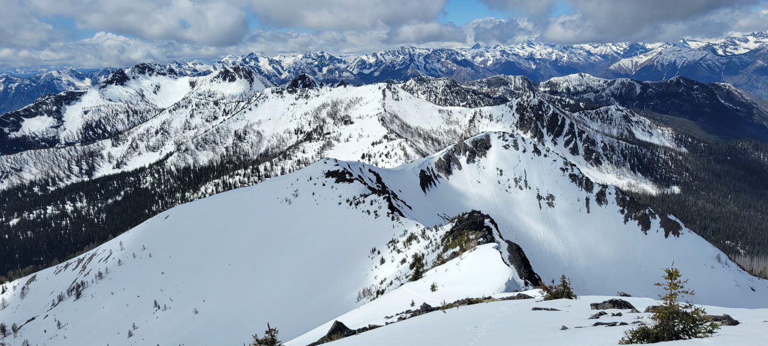
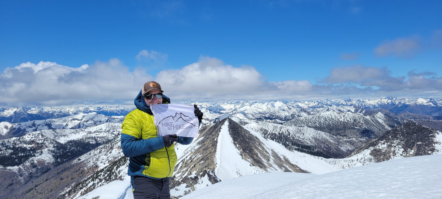
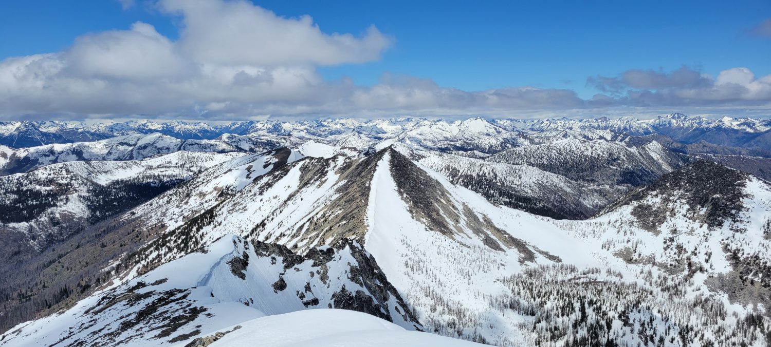
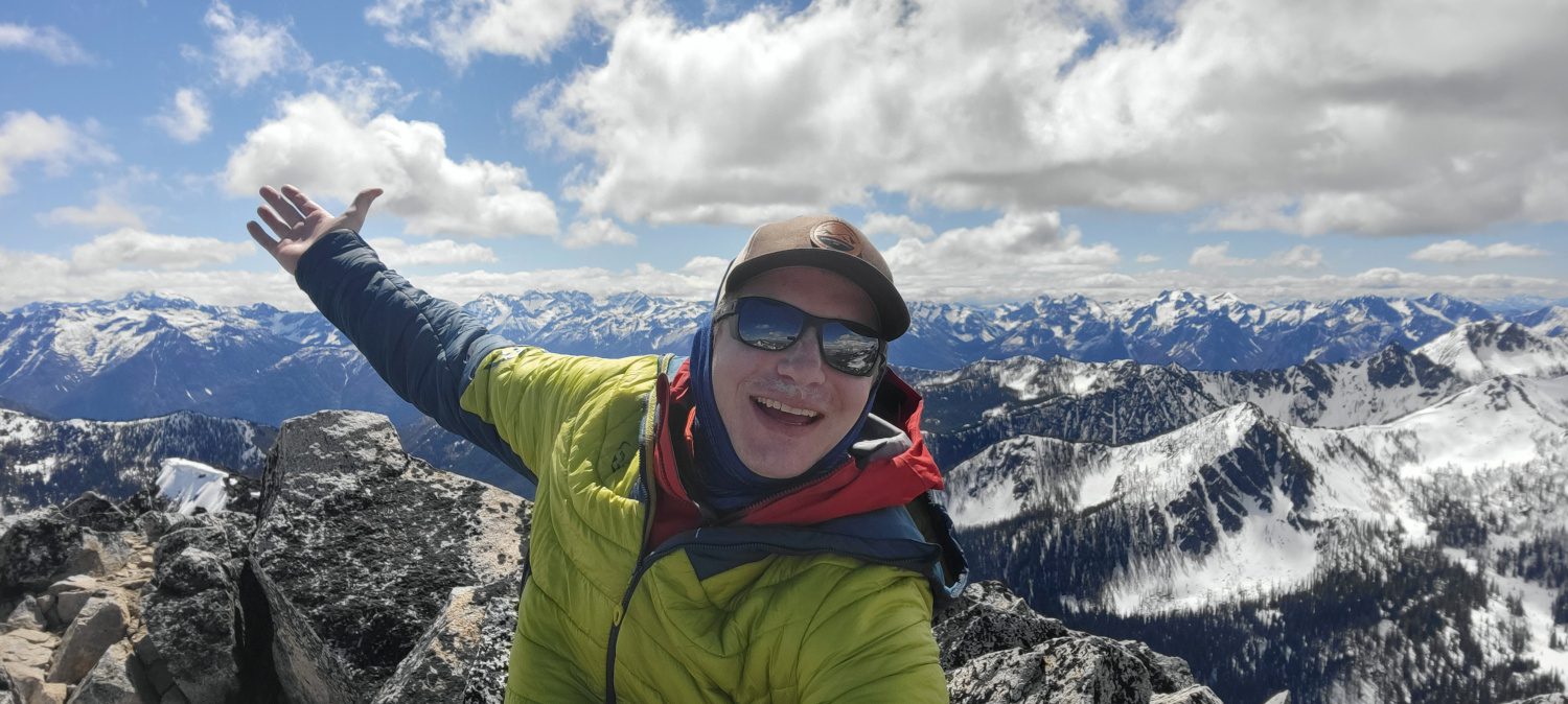
The final bit of ridge to get to the top of Star peak is long but straightforward. Just a long slog, especially in warm wet snow. If you stick with it and get to the top you will get one of the best views from a peak that I have seen in Washington.
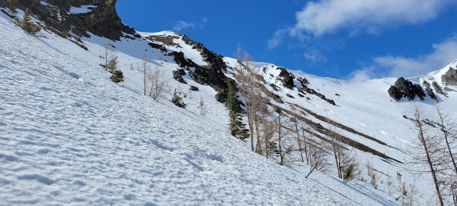
The descent and climb back to fish creek pass went by quickly. I just retraced my steps and was there in about an hour. The only tricky thing I noticed was that as the snow warmed the rock underneath felt very unstable and slid out from under me once or twice. Without snow cover it may be difficult to walk on. Just be cautious.
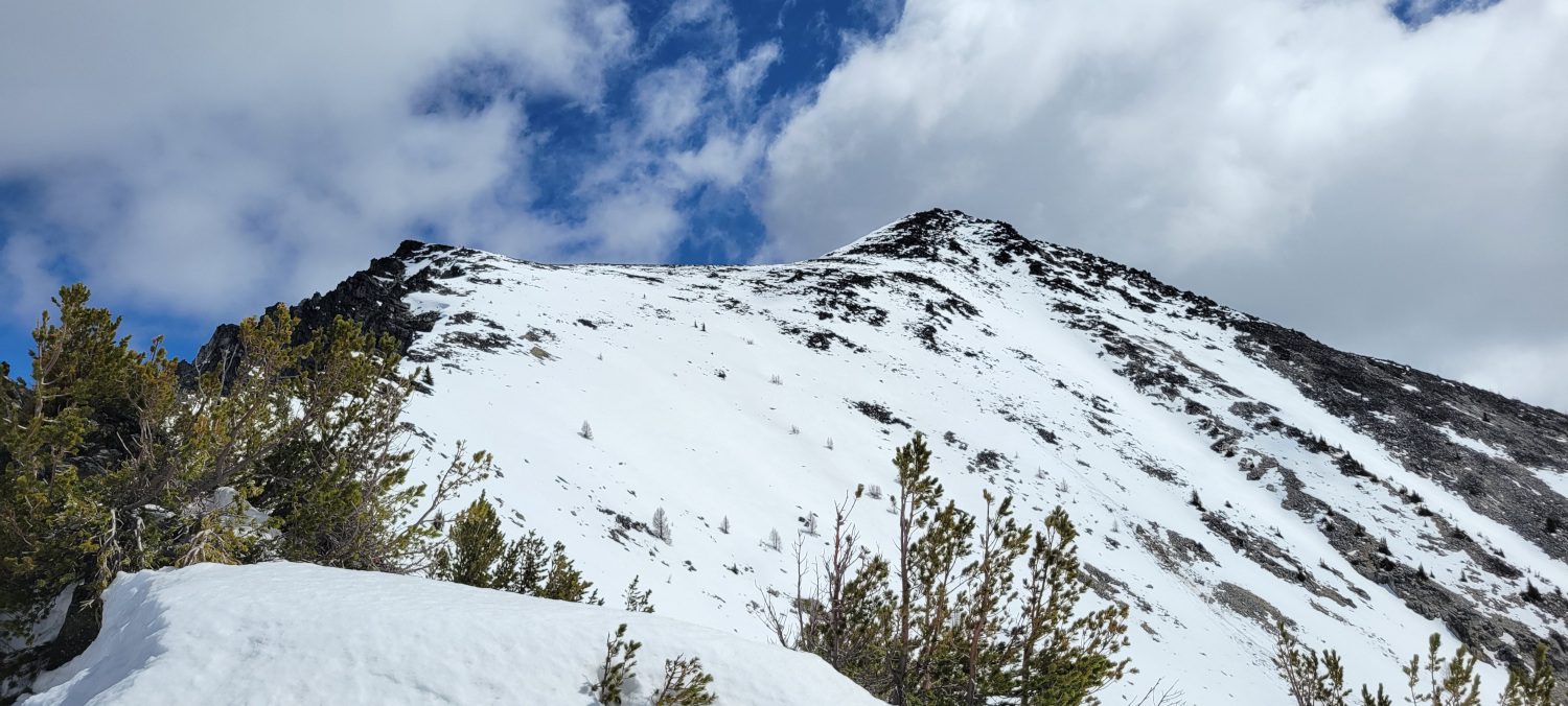
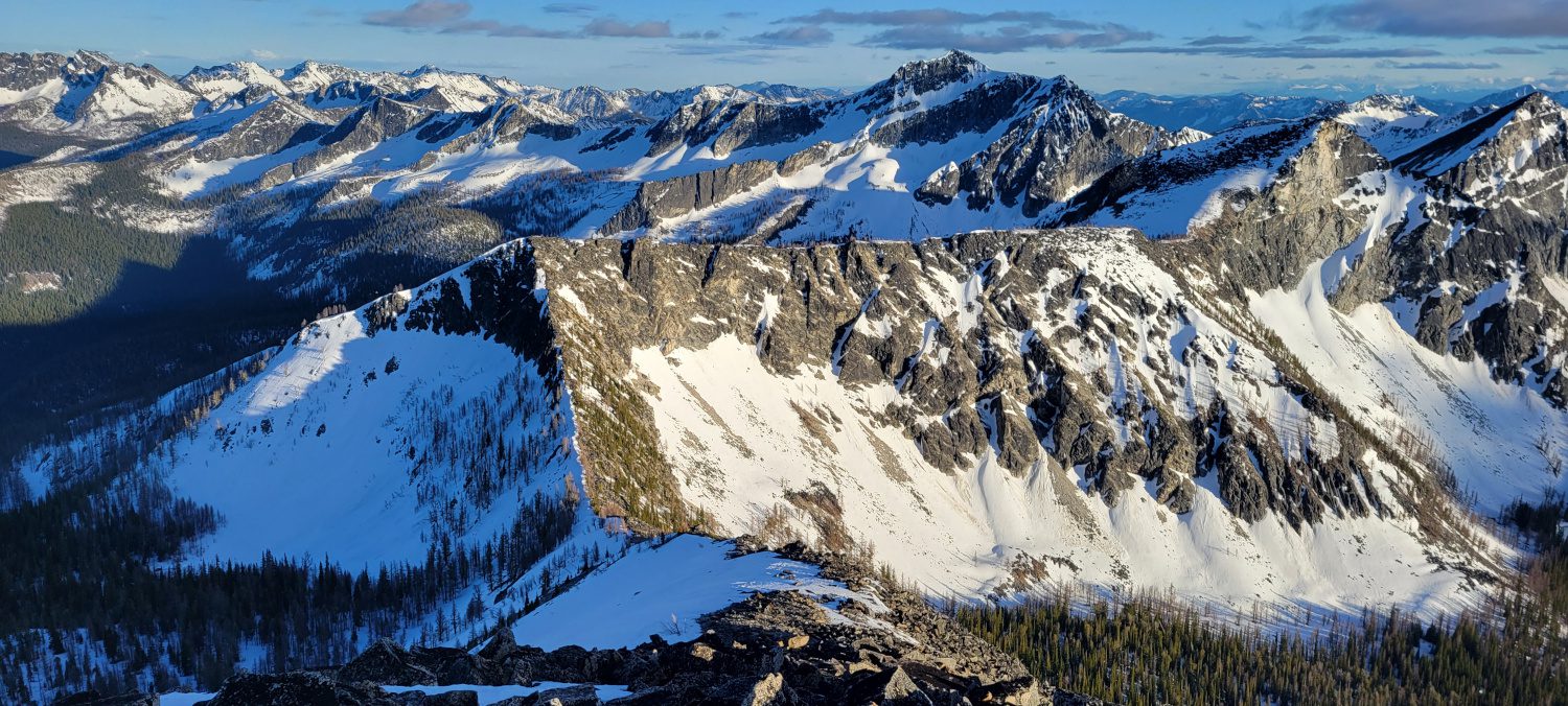
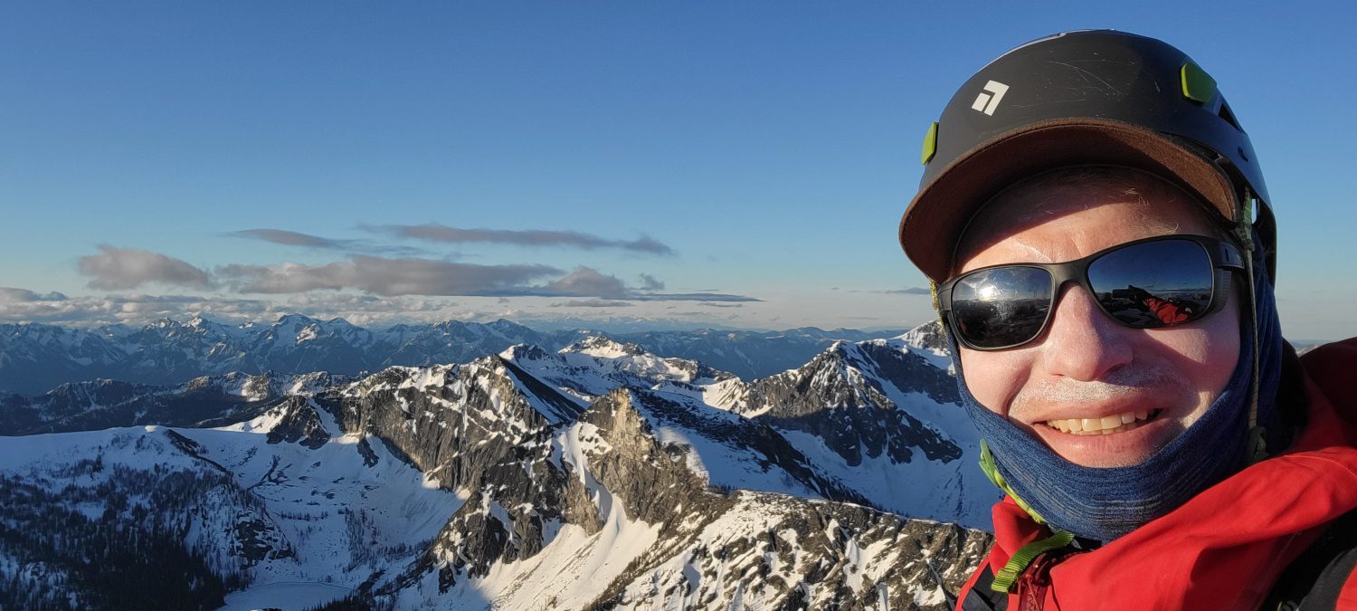
There really isn’t much to say about the climb up Courtney peak. From Fish Creek pass it is a simple straight climb up the SE ridge to a nice wide summit. If you can make it to the pass Courtney peak will be a very simple 45 minutes to an hour further.
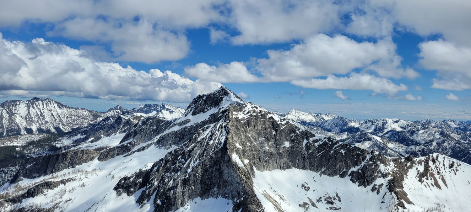
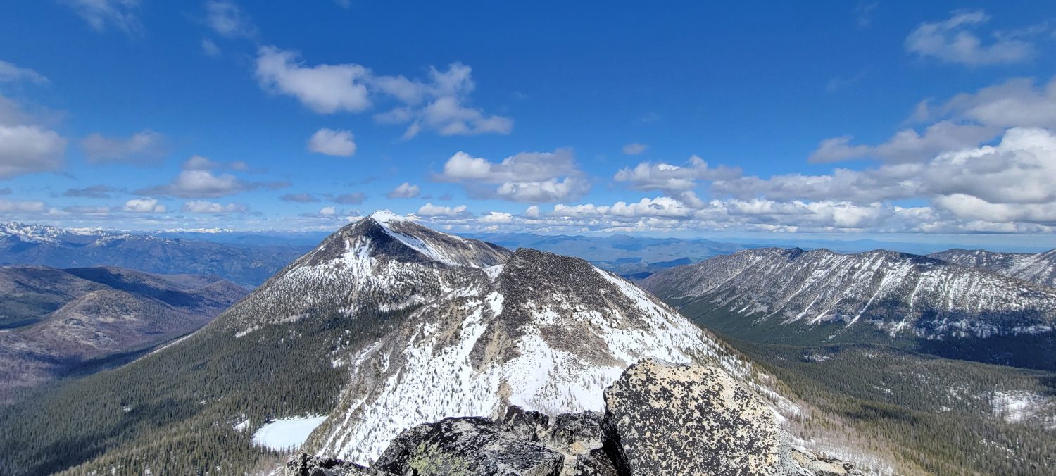
From the top of Courtney peak oval stands like a monolith to the north. Its massive summit plateau and distinct shape make it unmistakable off in the distance. By this time I had already been on the trail for over 10 hours. My legs were dead, my brain was running on empty, and no amount of snickers bars was giving me energy anymore. I almost gave in at this point to head back to the car. The only reason I convinced myself to keep going was thinking about having to navigate up the West Fork Buttermilk trail another time.
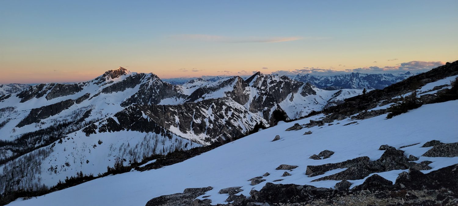
Every GPS track I could find of people who combined Oval with other peaks in the area showed them using a now missing trail called the Oval Peak trail. While it is visible on maps I had read that it is nearly nonexistent and difficult to navigate. Weighing my options I chose to use the Buttermilk ridge to prevent me from having to descend and reascend yet again.
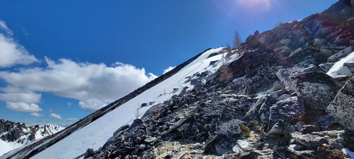
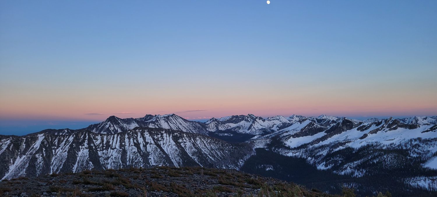
The West Buttermilk ridge was a bit of a risk since I had not found anyone else who had taken the route. But I was able to make quick work of it. There are a few sections with some large exposure and some fairly serious navigation involved, but, if you are out here already I would hope you have the skill to make it work. It took another very long four hours to reach the top of Oval peak just before the sun was about to set.

This is where I would highly recommend you stop following my route. Like I said at the start, PLEASE DO NOT USE MY DESCENT ROUTE FROM THE MAP PROVIDED. Exhausted from 14 straight hours of walking, eating candy for energy, filtering water in massive quantities, and constantly navigating, I made a serious error and thought I could make quick work of the descent by using a large boulder field on the east side of Oval Peak. It should be obvious where that route is from the map on this page.
The boulder field I chose is dangerous. Despite being wholly drained, I was still reminding myself the day was not over. After all, most accidents happen on the way down. As I worked my way through the boulder field, testing each rock, it was scary how loose most of them were. At one point I put my foot on a car-sized rock and, without any effort, sent it careening down the hill. All together, I would say one wrong move here, and it would be easy to end up crushed or starring in the second installment of 127 hours.
Due to how loose all the rock was, it actually ended up taking far longer to descend then if I had just used the normal route and walked the extra one mile. It is not worth the risk. Do not take the boulder field I did. There are other ways down that are easy to find if you research just a bit.
The rest of the walk out I was on auto pilot. It was pitch black and I was navigating by headlamp around blow downs the size of small sequoia trees. Trying to find log bridges over raging creeks with no light is the definition of type 2 fun. This is one of the few times I can remember being genuinely worried about being stuck until the sun came up and I could work out an escape plan. Luckily that did not happen and after a very rough 20 hours and 10 minutes of walking I made it out. By this time it was nearly 2am and it took everything I had just to change my clothes.
Since everything in Winthrop and Twisp closes early I couldn’t find real food. Instead I ended up sleeping in my car next to a bakery for a mere 3 hours, eating cold salmon and waiting for a chance to grab some coffee so I could get home for a shower. This whole episode was one I will never forget. It was quite the adventure. If you want to take on these peaks be ready for anything they can throw at you.
For this climber I think once was more than enough.
There are much simpler climbs in the area if you just want a summit. Hoodoo is mostly a walk up and even the approach and climb of North Gardner and Gardner felt like a breeze after this. Unless you are checking off the Bulger peaks, I would recommend spending your time climbing anything else.