


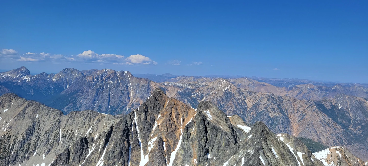
Robinson Mountain would have easily escaped my vision if not for being on the Bulger list. Located near Winthrop, the area has far more enchanting summits to experience. But alas, since it is one of the 100, I would eventually discover the adventures it held.
I had also attempted to climb the peak the week before this, but due to mental health-induced sleep exhaustion, I barely made it 3 miles. Then some poor hikers stumbled across me dry heaving into the bushes while trying to drink water. They thought my condition resulted from heat stroke, so I didn’t correct them. Either way, my body was clearly giving up on me, and it was time to go home. Special thanks to those who tried to help.
Not exactly a glorious start to attempting this little fellow. This week I returned to see if I could give Robinson Mountain a run for its mone
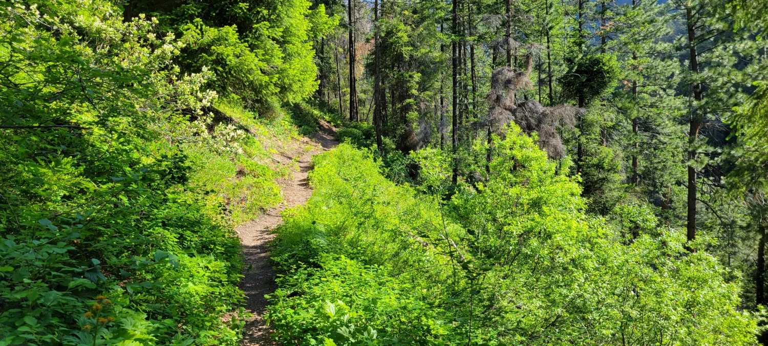
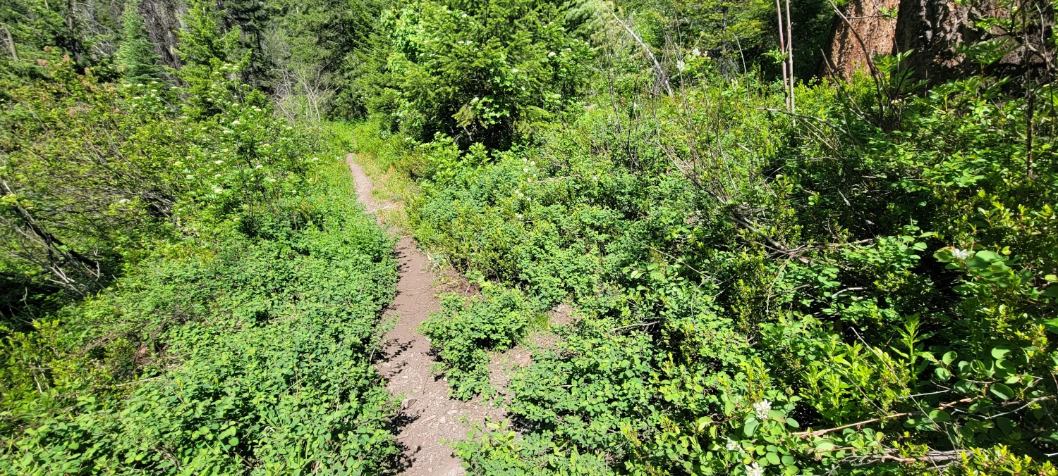
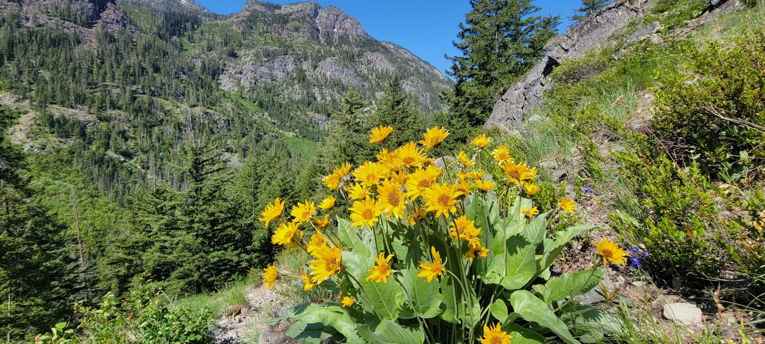
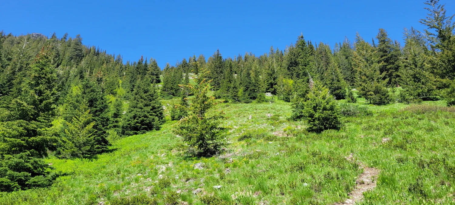
The first 2.5 miles of trail are an easy warm-up. All the elevation gain is well spread out; there are some initial views of the surrounding peaks and, on this occasion, one rattlesnake. I almost stepped on the poor thing while it was sunbathing on the sandy trail. I let off a high-pitched scream, and it slithered for the bushes. Not sure which one of us was more terrified.
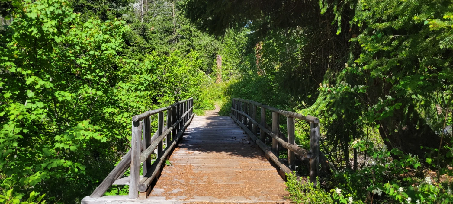
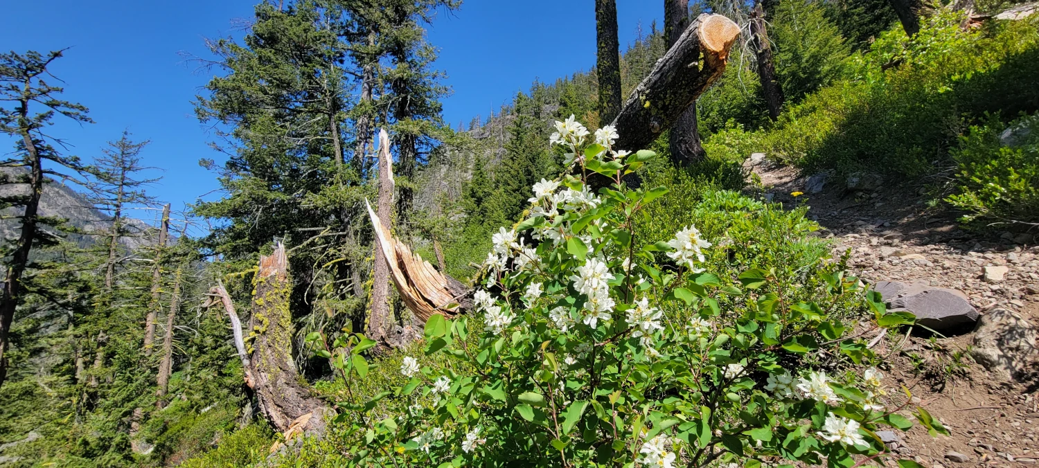
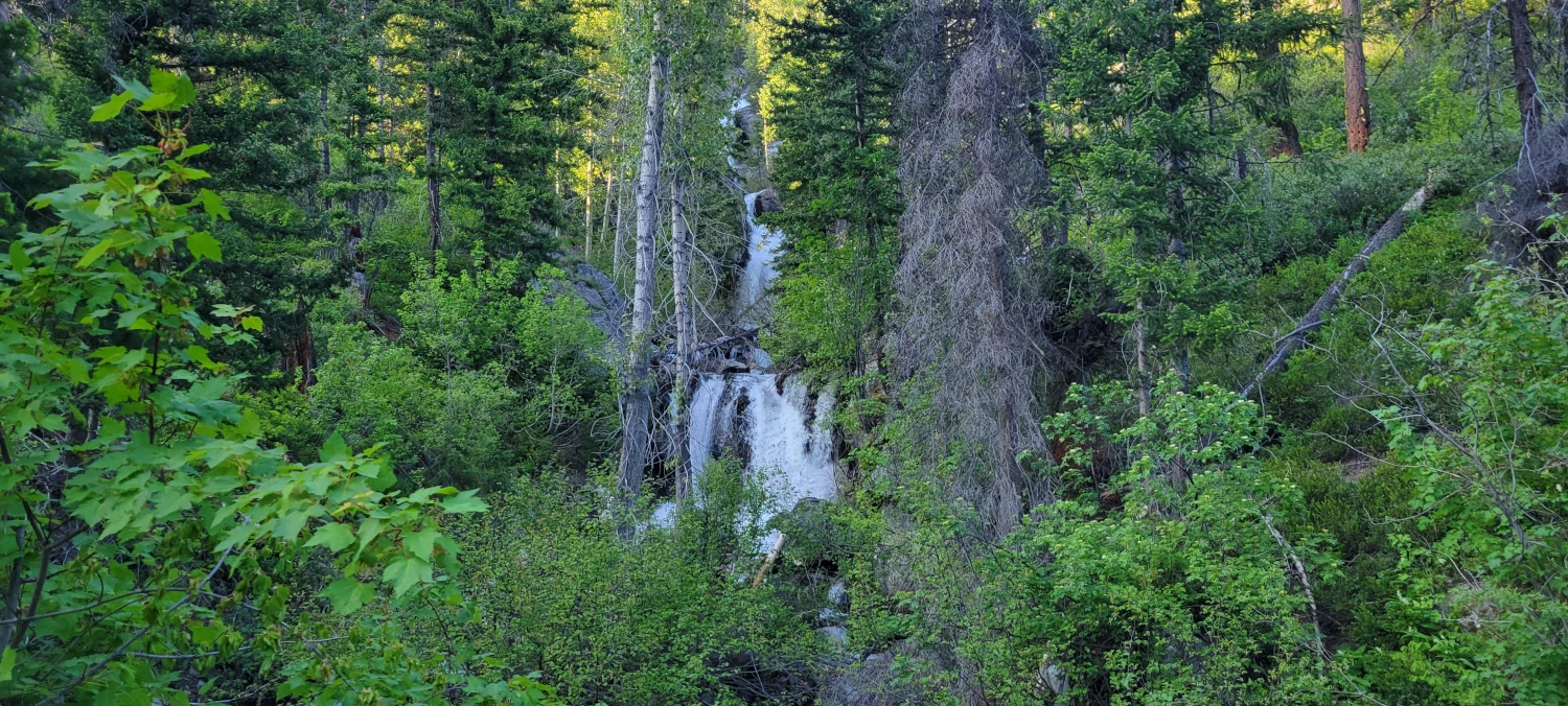
The climb up Robinson Mountain begins after you cross a bridge with a waterfall coming down Beauty Creek. Most online sources I found said there is an obvious trail fork and to take the one heading uphill. However, the split is anything but obvious. It was well covered in bushes, and I nearly passed it by. If you go over 30 feet past the bridge and don’t see it, stop, go back, and look to climbers right. Once you find it, the route up Beauty Creek is obvious.
The climb up Beauty Creek was the first challenging part of the day. The sun was hitting the hillside, and with minimal tree cover, I was taking the brunt of its rays. If it wasn’t for the giant bag of water on my back, the sound of Beauty Creek running down the hill beside me could have quickly become maddening. As with any peak this side of the Cascade crest, bring enough water for a small army. There are very few places where anything fresh will be available.
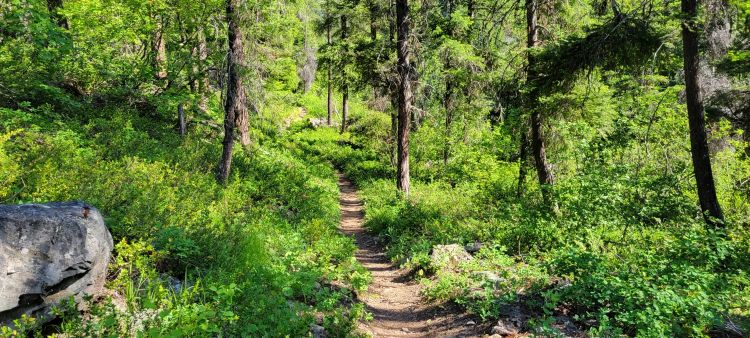
Once up the initial hill on the Beauty Creek trail, the trail’s pace evens back out. The rest of the tour up to the climbers’ path is an easy walk with one minor creek crossing.
The boot path up Robinson Mountain is easy to miss walking along Beauty Creek trail. I initially walked past it since it looked like nothing more than where a few goats had walked up the hill. To find it, watch to your left just after the one unbridged Creek crossing. When the terrain opens up, go uphill, and you’ll locate it eventually. Once I was on it, about 100ft up the mountain, it turned into a well-worn boot track.
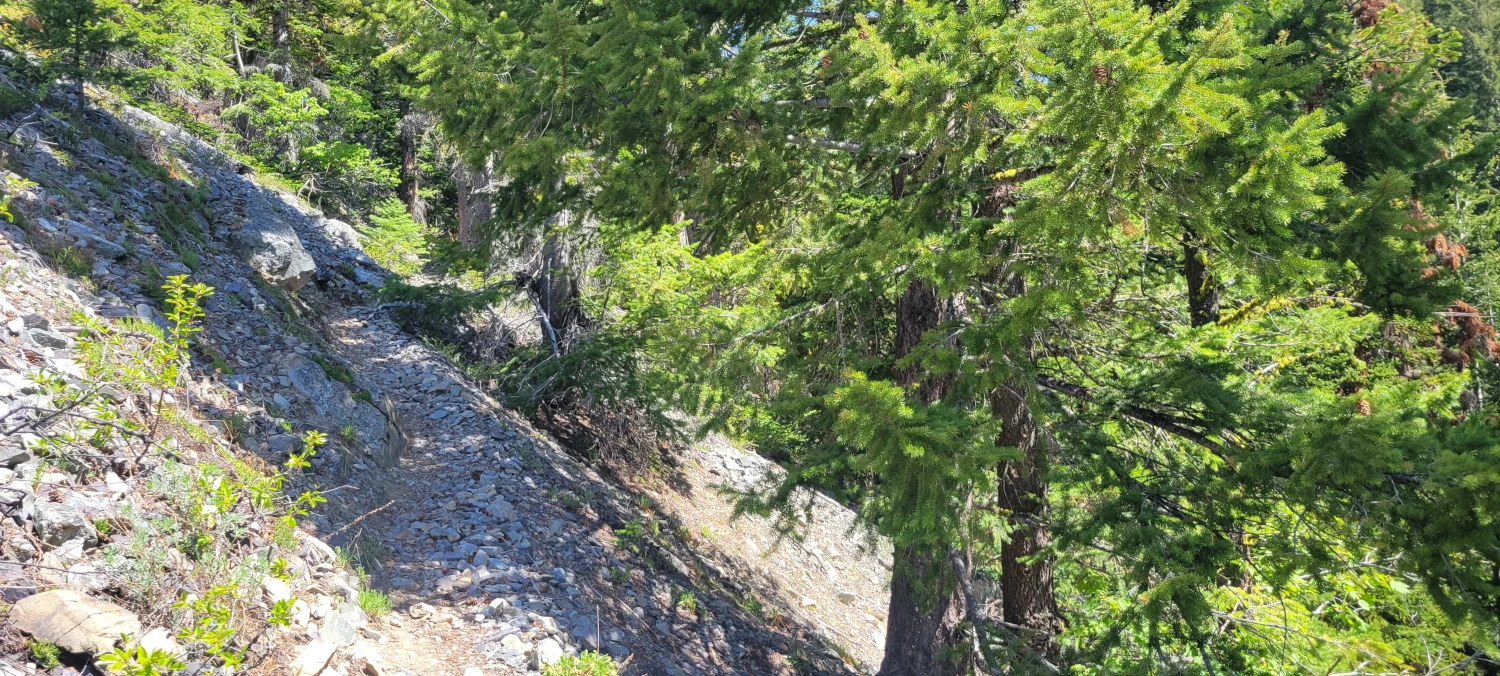
This is where the climb up Robinson Mountain goes from hike to climb. It will gain around 1600ft in about a half mile up to the small tarn. If you are planning to camp, this would be your best option. It is halfway-ish to the summit, has water, and plenty of flat space to take advantage of. For the weight conscious amongst us, there are also ample trees to hang a hammock out for the night. Plus, there is no way I would want to carry camping gear up or down the scree field.
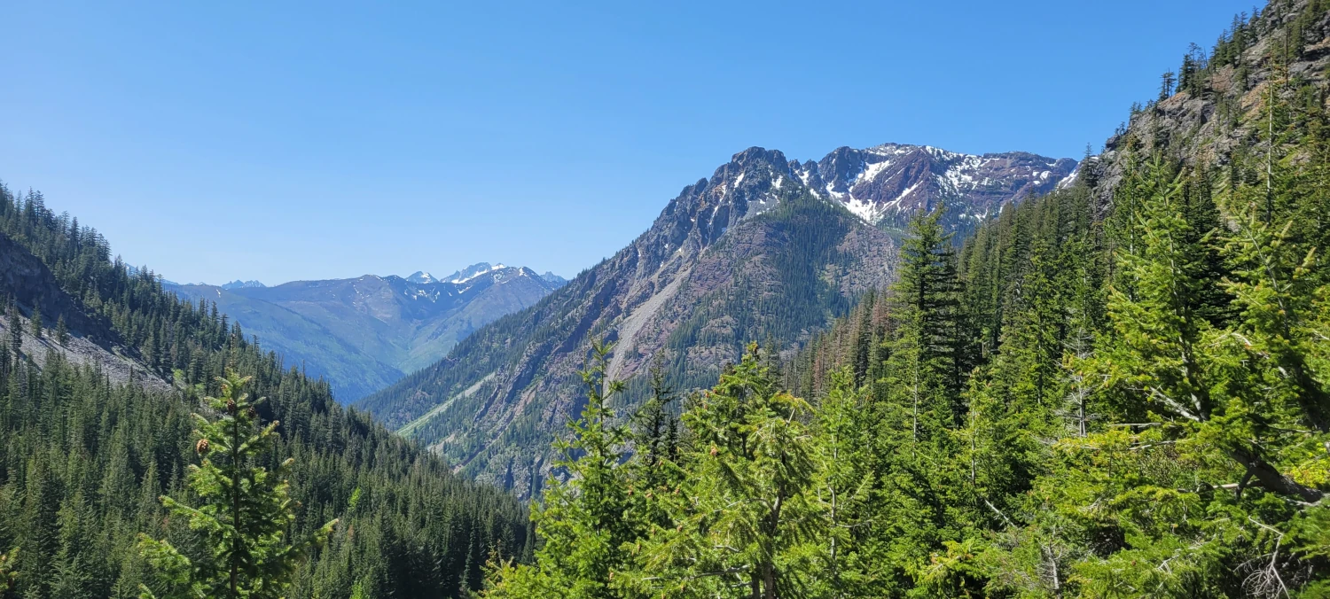
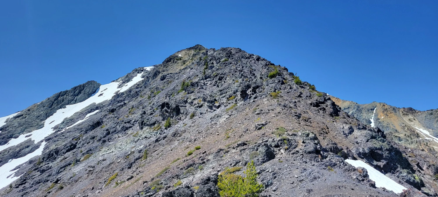
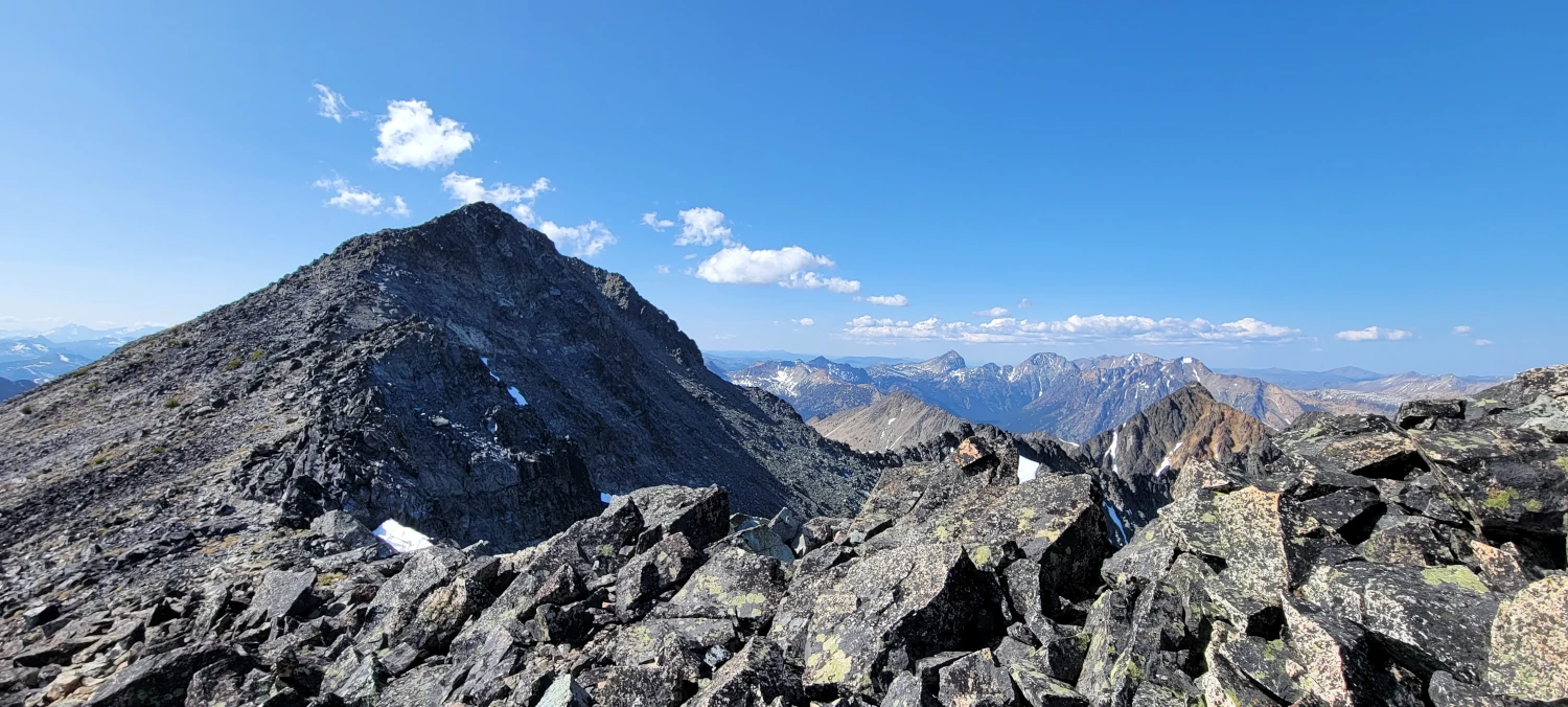
Whether camping or not, the scree field will be the main obstacle to climbing Robinson Mountain. It’s rough. The only thing I can think of that comes close is the scree field headed up Gardener and North Gardner. It slips, slides, turns to sand at one point, and generally feels uncomfortable.
This climber is definitely not a fan. After summiting, that scree field is the one thing that would easily keep me from returning for round two.
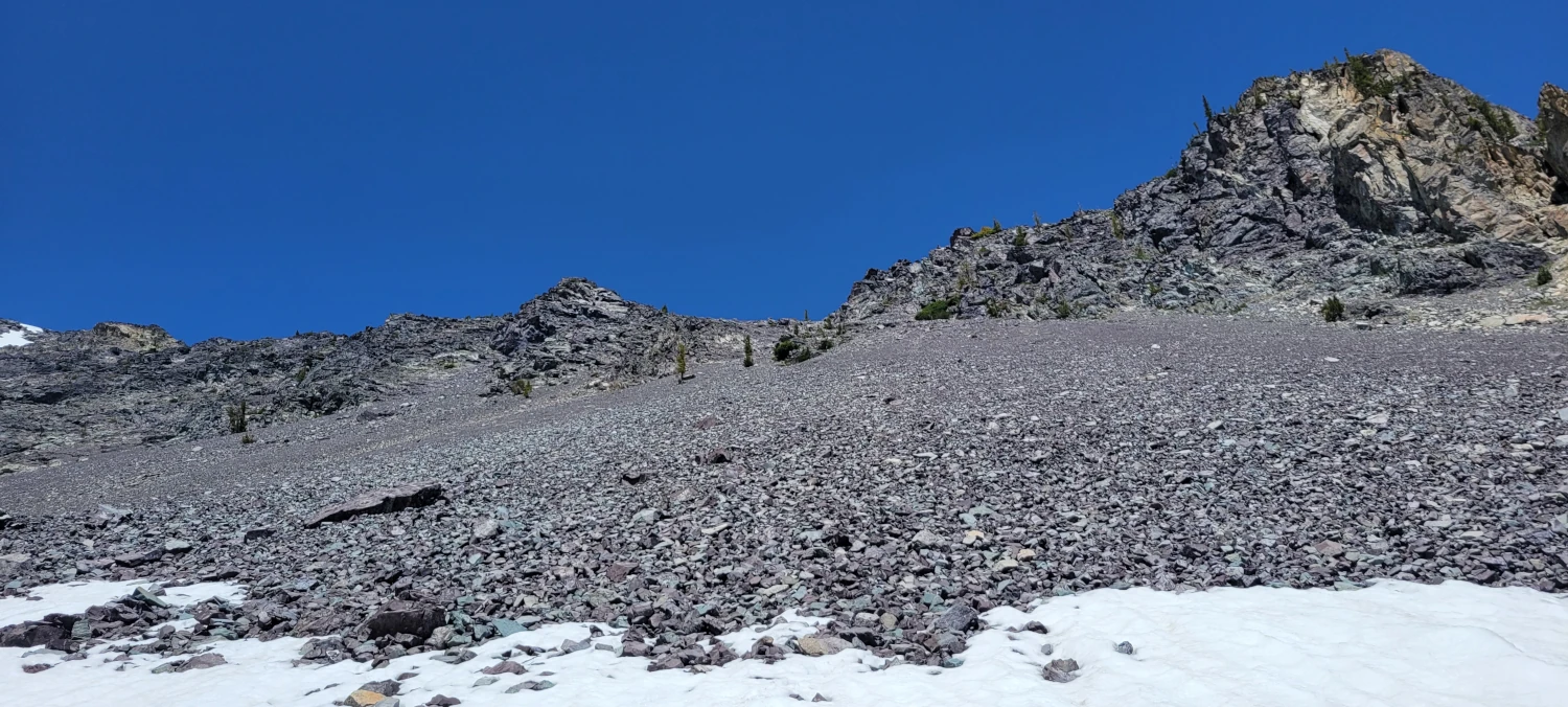
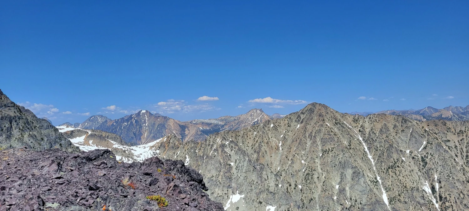
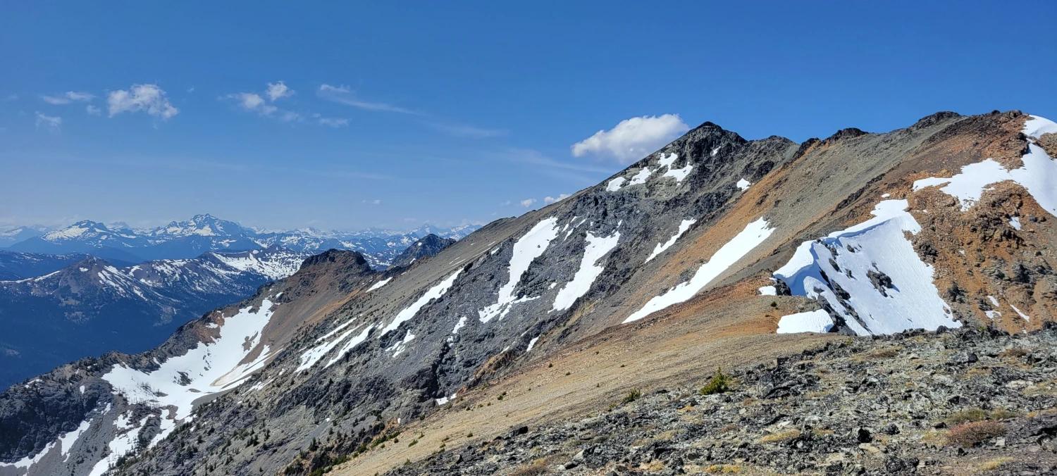
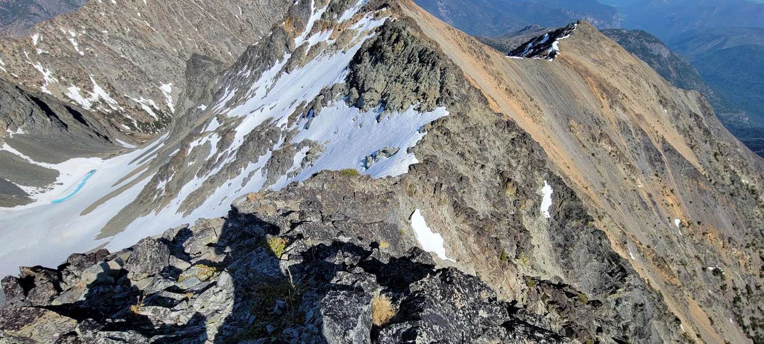
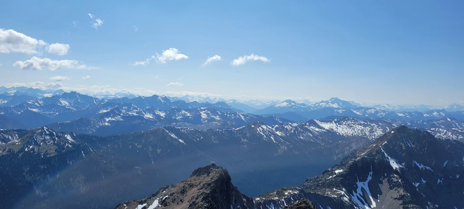
The ridge crest is the next challenge if you can manage the scree field. This section makes me think a cloudy day might be ideal for a summit shot on Robinson. It is very exposed to the sun, and I went through almost a full liter of water over the short (1/2 mile?) walk. I ate snow several times along the ridge to cool my body off. But I would not count on fresh snow being available anytime after late spring.
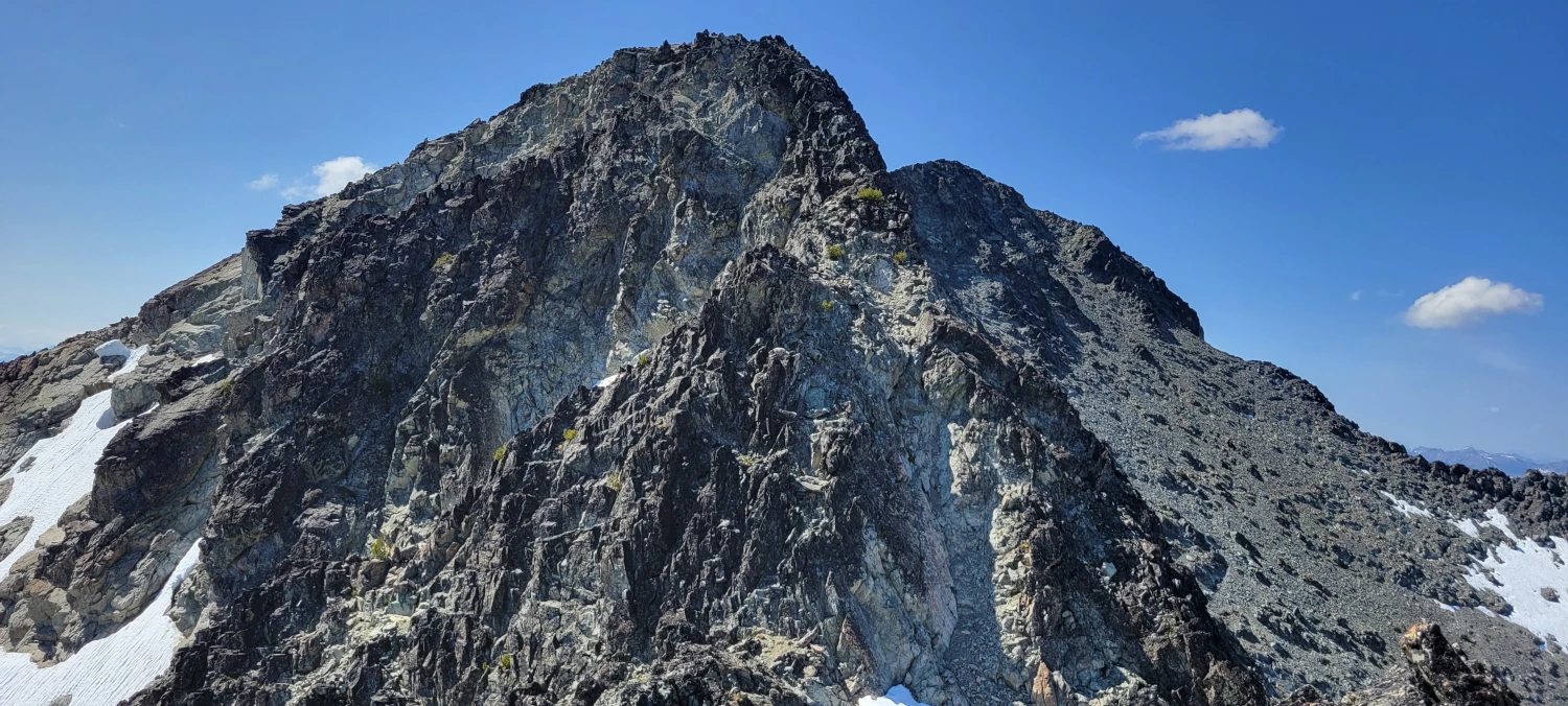
Once you reach the end of the ridge walk, you’ll hit the first small scramble section. It pushed class 3, but most of it was around a 2. This scrambling section is very short, 50 feet, and allows you to crest the upper portion of the ridge to make the final summit push.
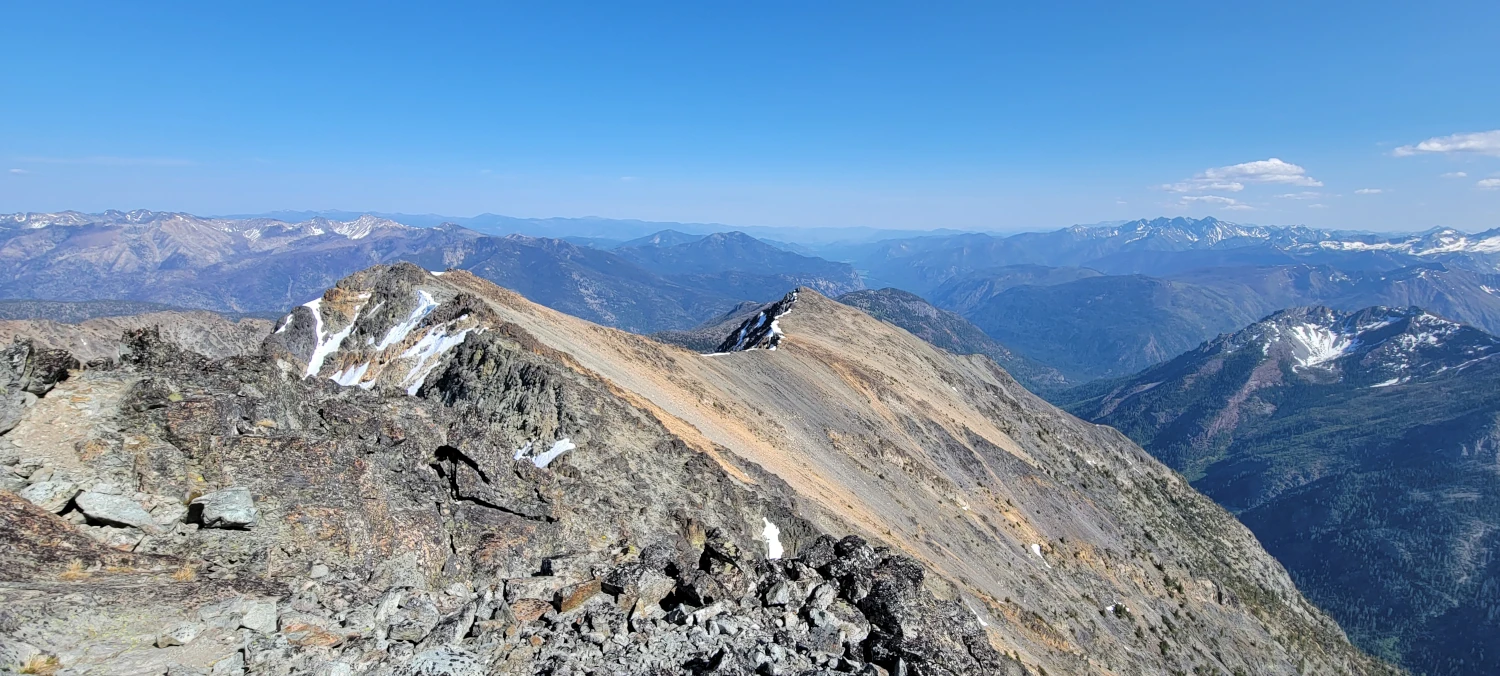
From the time you crest the first ridge to the bottom of the main scramble section is an easy walk. Once I hit the bottom of the primary scramble, I was sure I was in the wrong place. From below, the scramble section looks like it is near vertical. It had been a year since I had scrambled anything due to weather, other priorities, and a broken collar bone. So it gave me some pause. After a few minutes of contemplation, I finally got that “eff it, let’s do this” spirit back in me and went for it.
The first 5-6 ft are almost vertical, but it evens out quickly after that. If not for the exposure off the sides, I would rate most of the scramble at a 3. But, with the exposure on climbers right, it might be more challenging for some. That is the only reason I can envision it being labeled class 4 in the few places I saw that rating online. The hand holds are solid, with 5-10 minutes of movement.
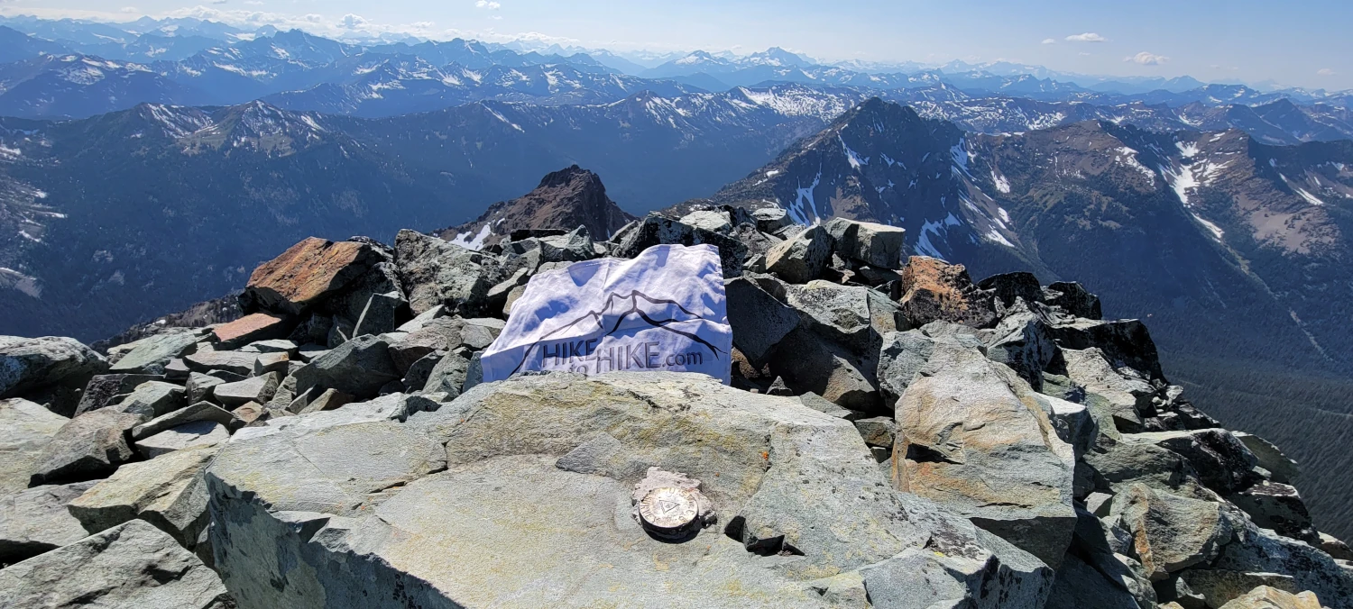
After that small scramble, the summit is just a short walk away. The last 50-100 feet were the best few steps I’d had in a year or so. This past year has been filled with some exciting struggles. But that feeling of overcoming a battle with a pile of rock gave me one of those freedom smiles I love so much about climbing. By the time I was on the summit of Robinson Mountain, I had that “I’m back!” feeling welling up inside of me.
Since I chose not to camp, I returned to my car with two toes bleeding, my knees barely bending, and a giant smile. It is a very long 6 or so miles back to the car if you choose not to camp.
Nothing like a type two suffer fest to cure the ills of life. Welcome to summer.