I slept in the Harts Pass area the night before to get an early start, but when I woke up to make coffee, my stove was dead. No flame, no fuel flow, nothing. So instead of hitting the trail, I had to drive all the way back down to Mazama and buy a new stove at the local gear shop. Shoutout to Goat’s Beard—if you’re ever in need of last-minute gear in the North Cascades, they’ll save your trip.
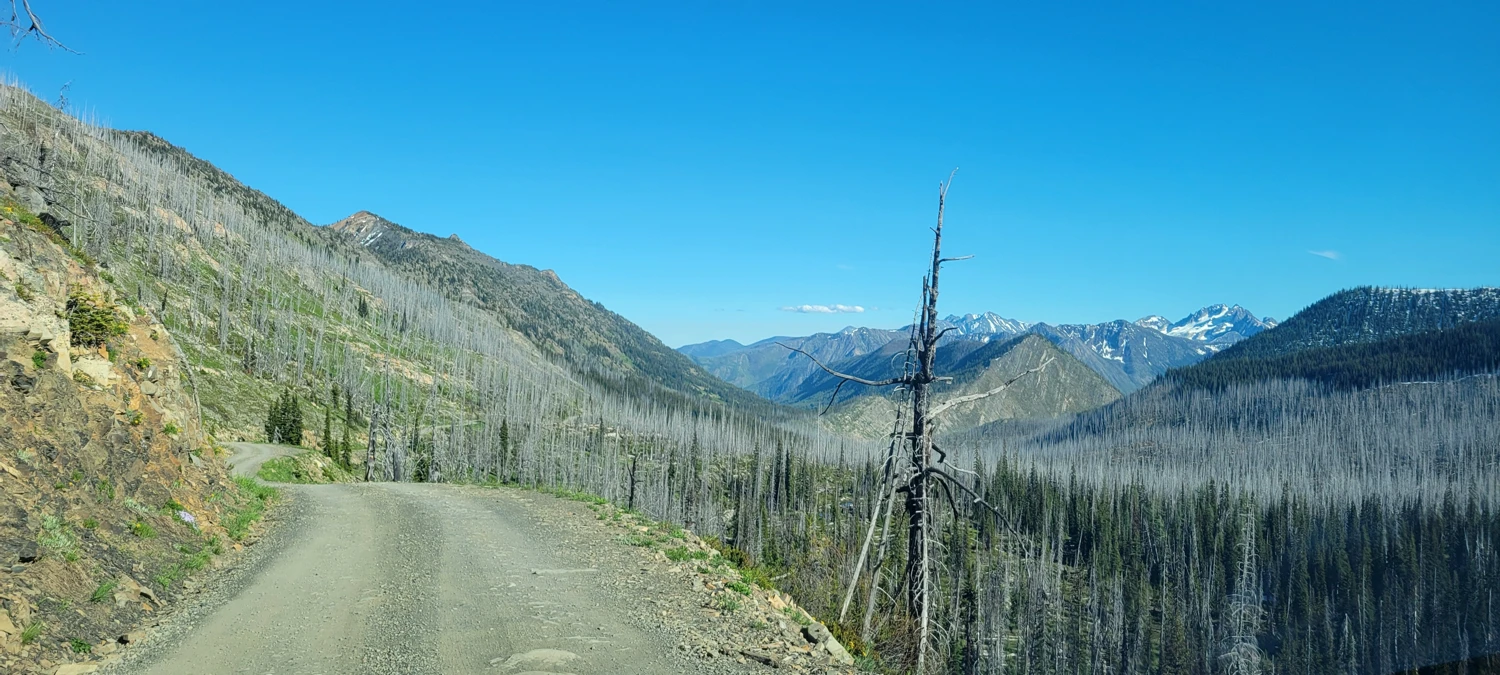
Stove in hand, I drove back up to Harts Pass and started the long climb toward Osceola and Carru. It was still early in the season, so the descent from Harts Pass to the Whistler Cutoff Trail was mostly snow-covered. After years of forest fires in this area, I wasn’t sure what kind of terrain I'd be getting into. Finding the trail was difficult at first—just faint hints in the snow until I dropped farther into the valley.
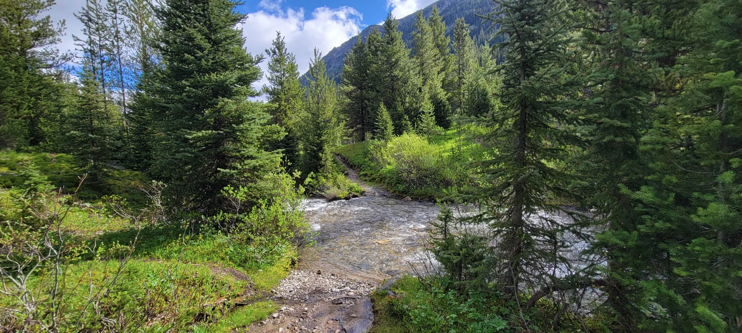
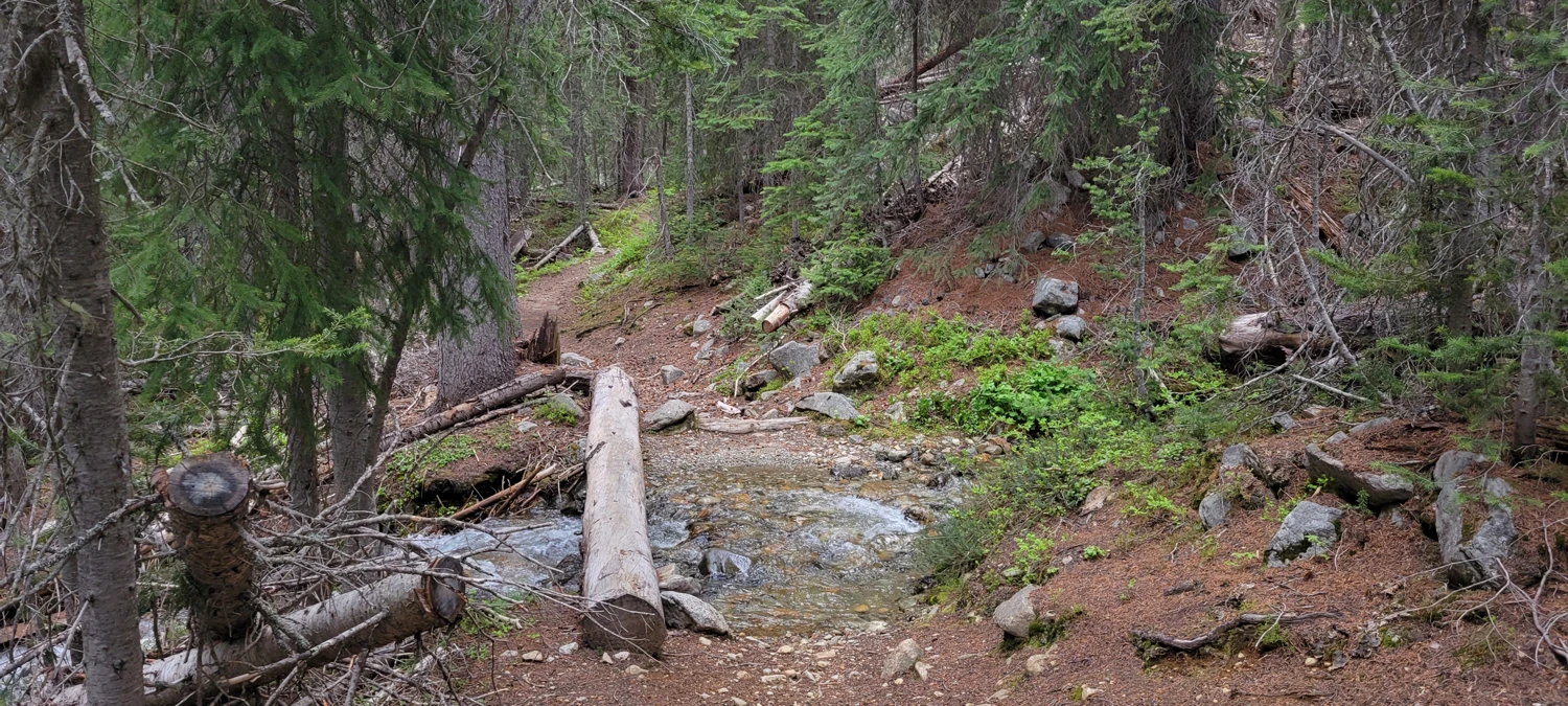
Once I picked it up, the Whistler Cutoff Trail was in decent shape and an easy cruise downhill. The biggest obstacle came at the unbridged crossing of the Middle Fork Pasayten River. Thankfully, it was only ankle deep. I took my shoes off, crossed without issue—besides the ice-cold water—and kept moving.
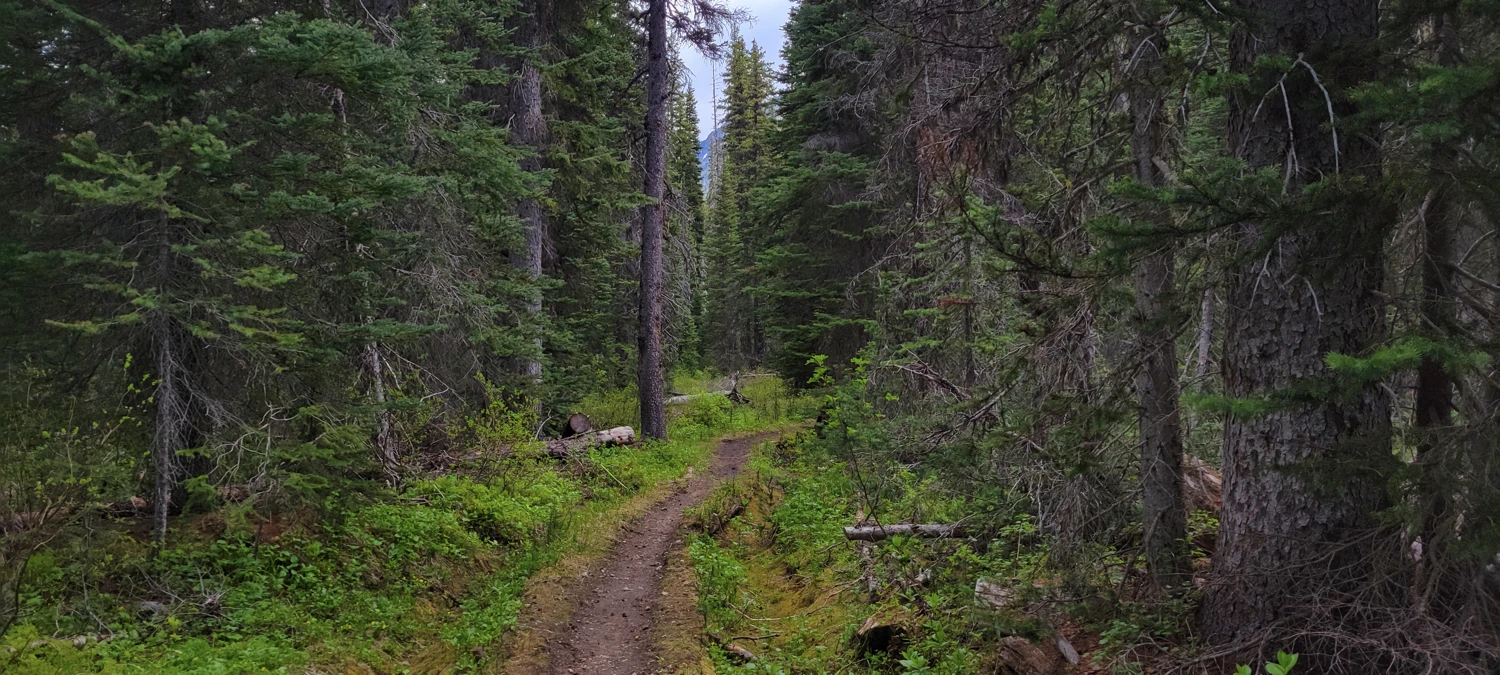
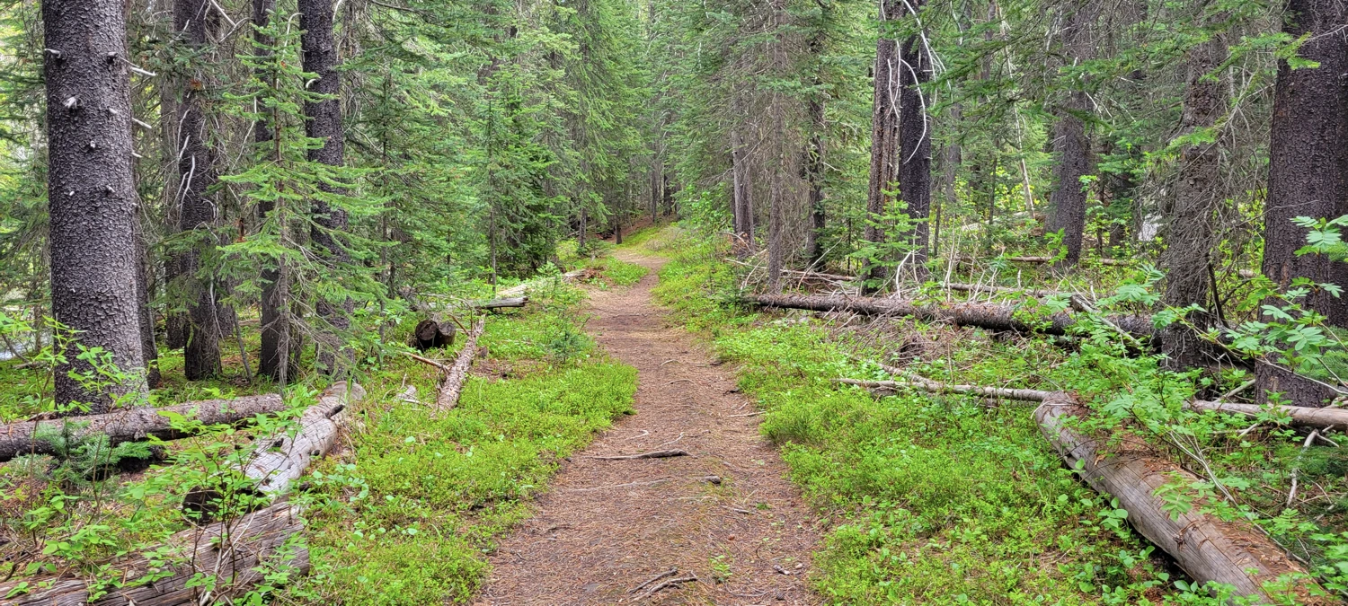
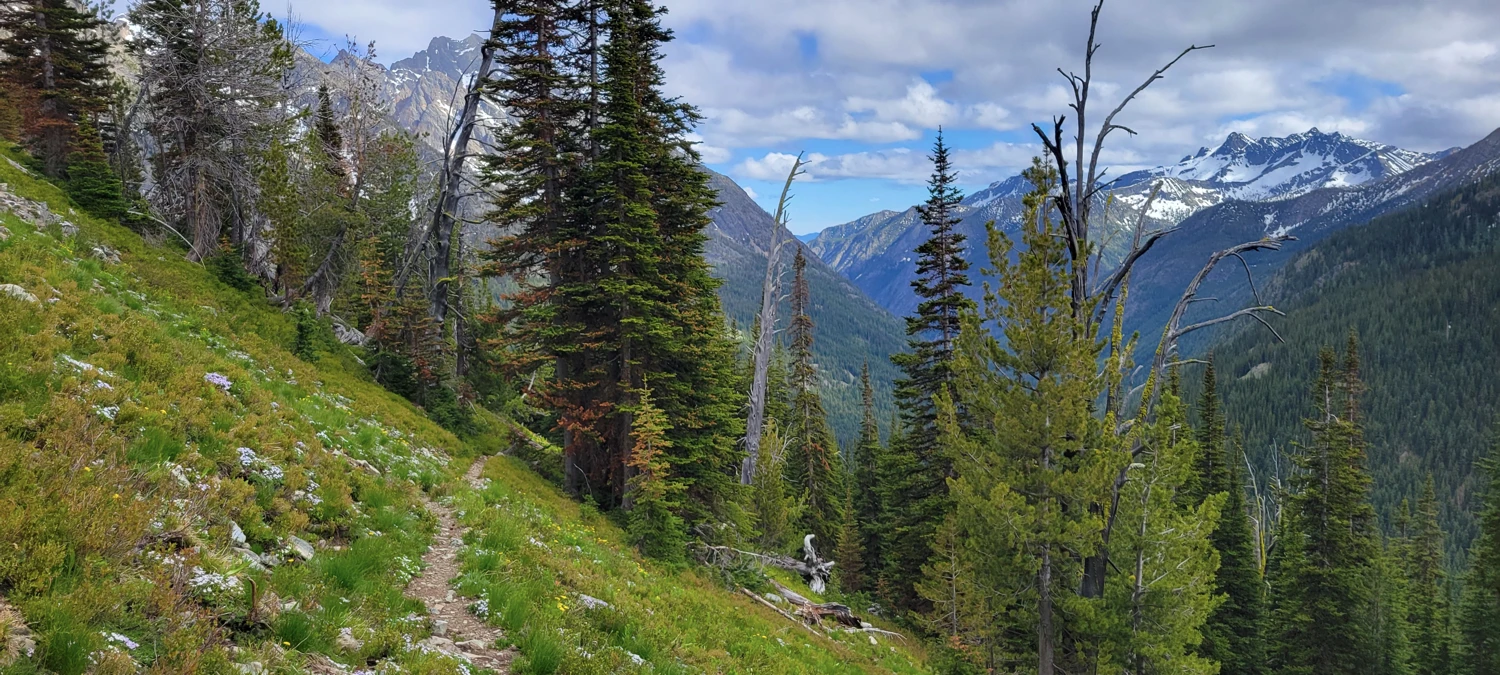
I joined the Robinson Creek Trail and made quick progress to the cutoff for Fred’s Lake. It’s possible to take Robinson Creek all the way up, but it adds extra distance and elevation gain. That route could make sense if you were trying to link up Robinson Mountain or some of the other Bulgers in the area, but I had a different plan.
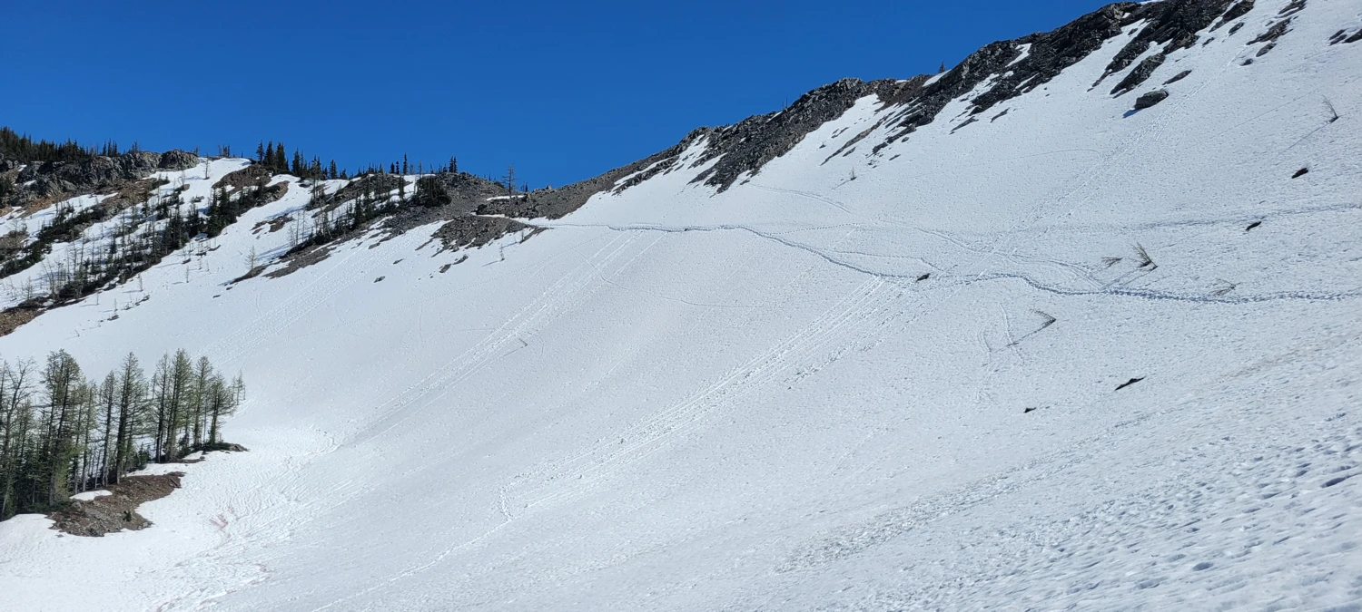
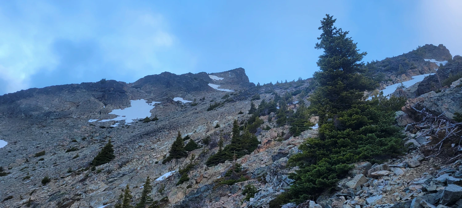
By mile 10, I reached the Eureka Creek Trail junction and started climbing toward Fred’s Lake—this is where the real work toward Osceola and Carru begins. From Fred’s Lake, the trail quickly fades, turning into a rough route that climbs to the pass above the lake. I lost the path multiple times in the boulder field, which was still snow-covered halfway up. I strapped on crampons, pulled out the ice axe, and climbed the final stretch of snow to the top.
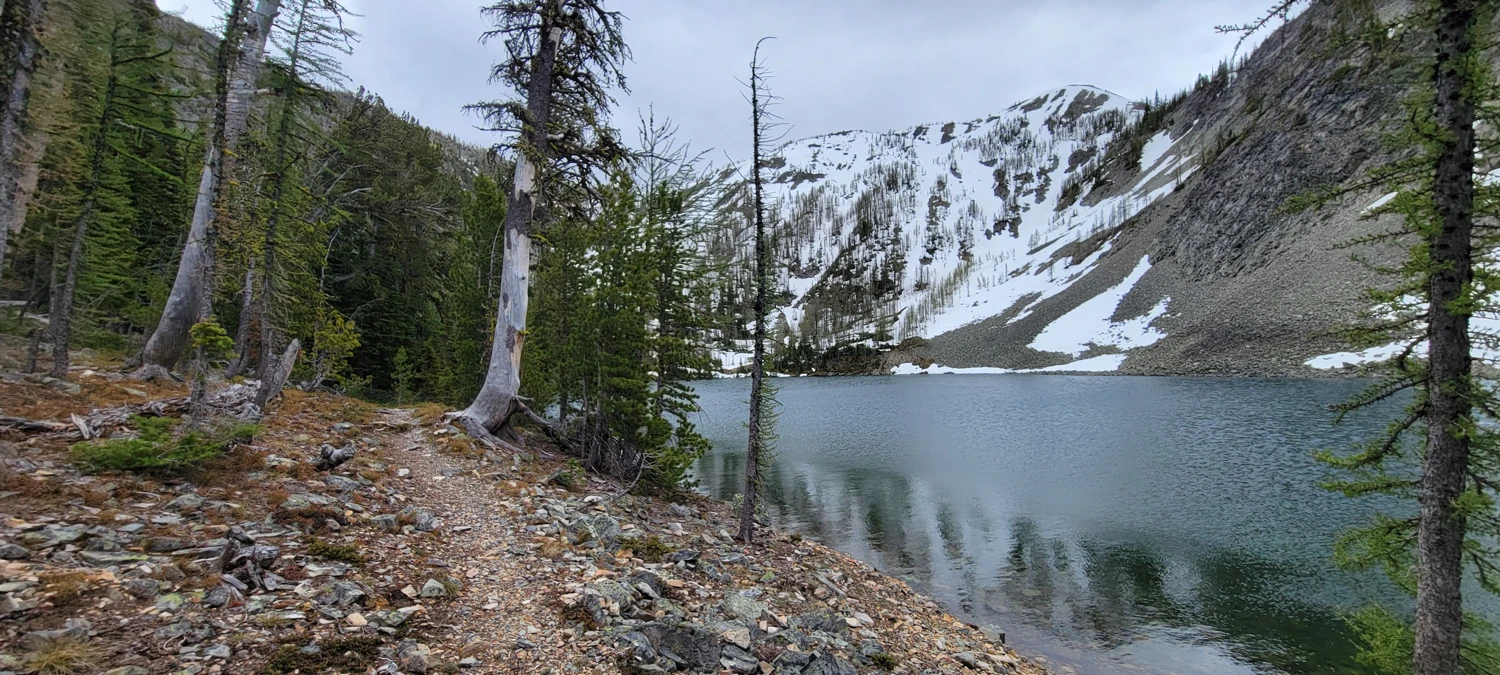
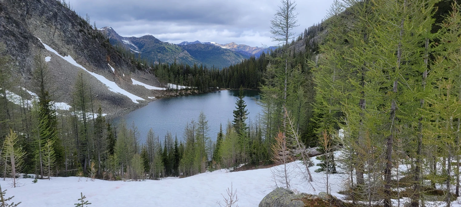

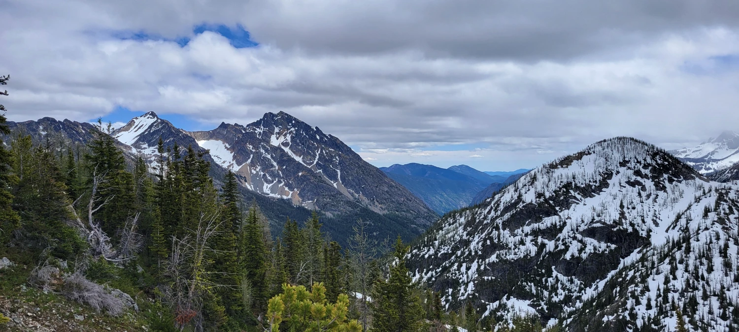

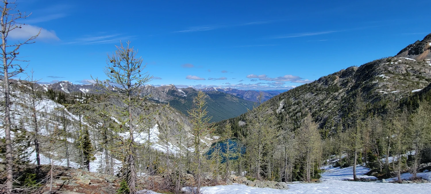
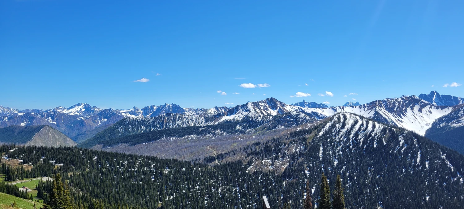
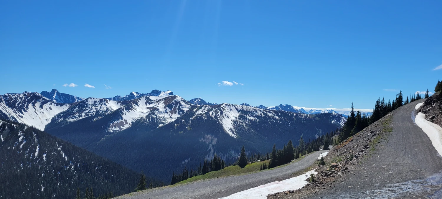
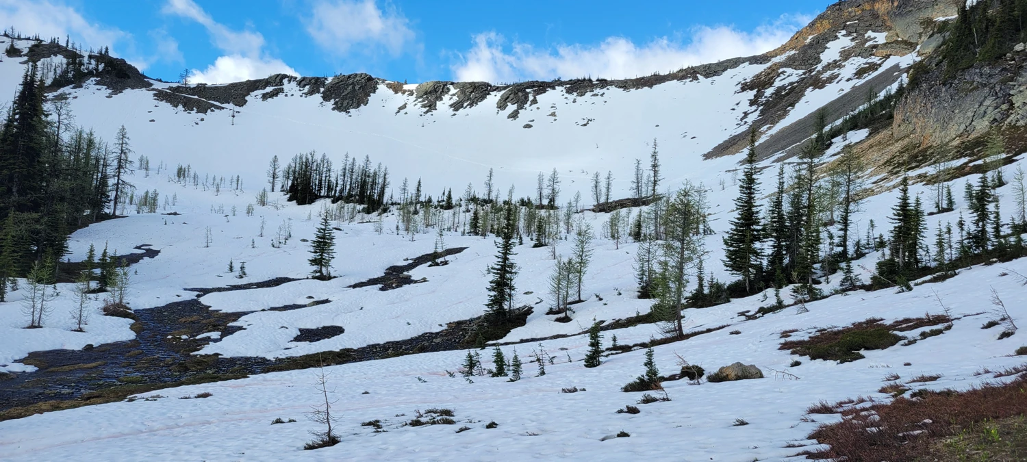
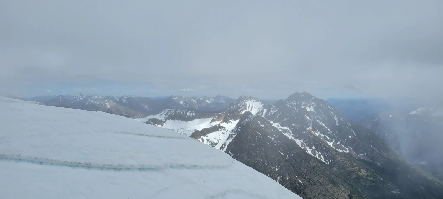
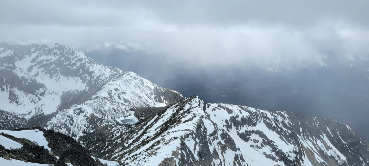
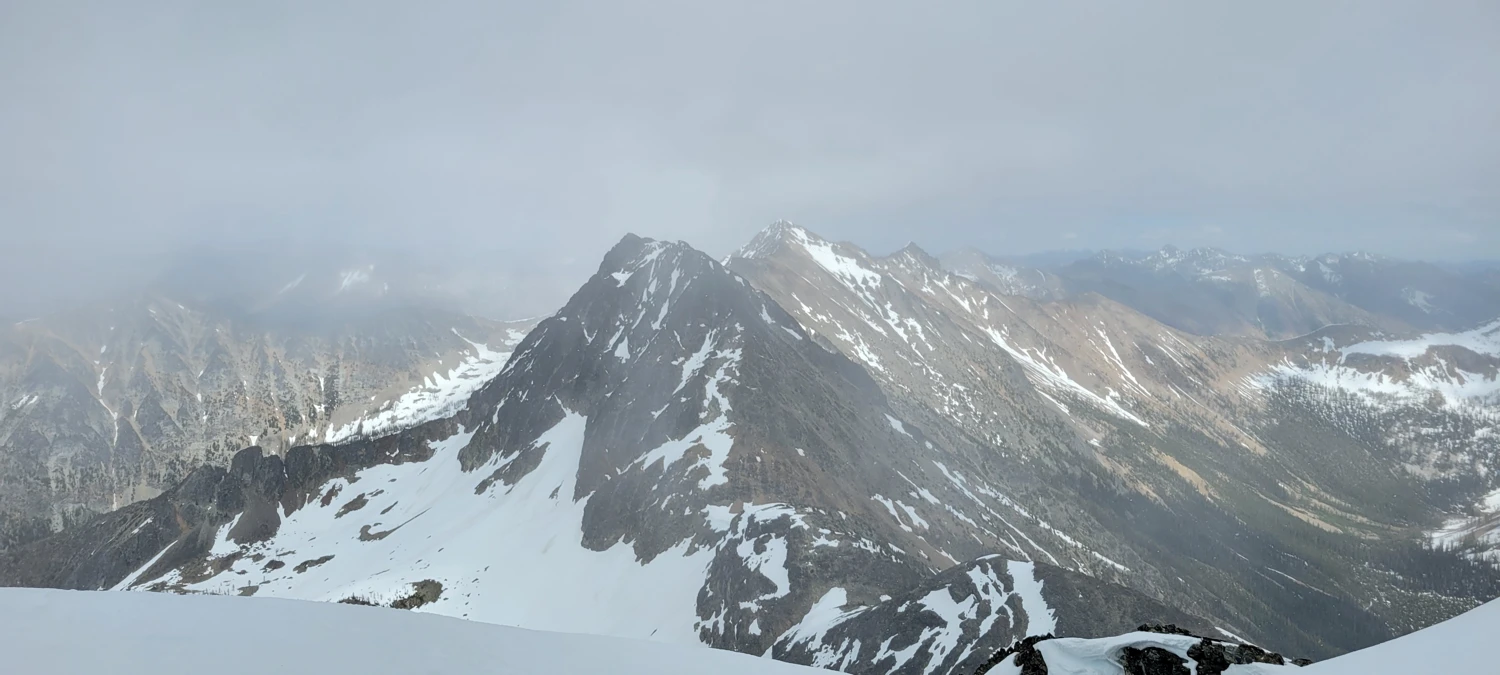
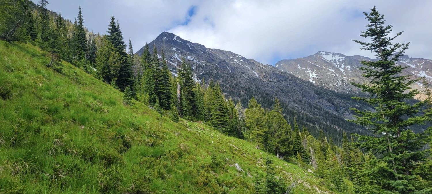
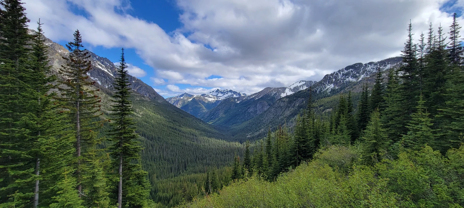
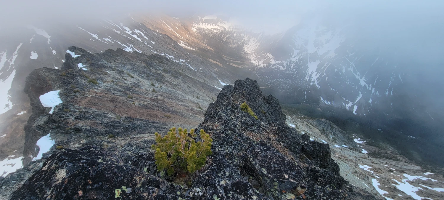
The descent to Doris Lake was also blanketed in snow, requiring some careful navigation and a bit of route-finding finesse to avoid cliff bands. It was during this descent that I got my first real view of the region, including my two objectives—Osceola and Carru.
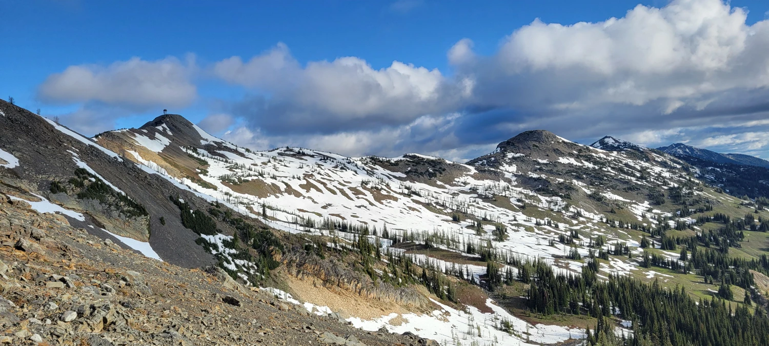
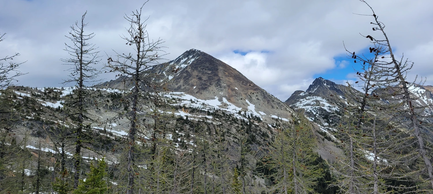
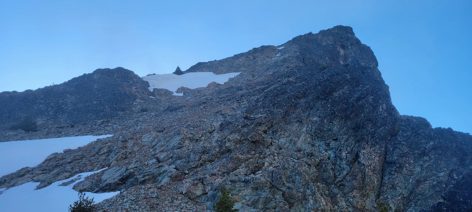
From Doris Lake, I headed cross-country toward Osceola. The lower slopes were nothing but loose scree—annoying but easy. I went straight up the south face, a slow but direct line of talus and boulders. The climb was straightforward. If Osceola weren’t on the Top 100 list, I wouldn’t have had much reason to go up it. There’s not much redeeming about the summit, but it’s a tick on the list.
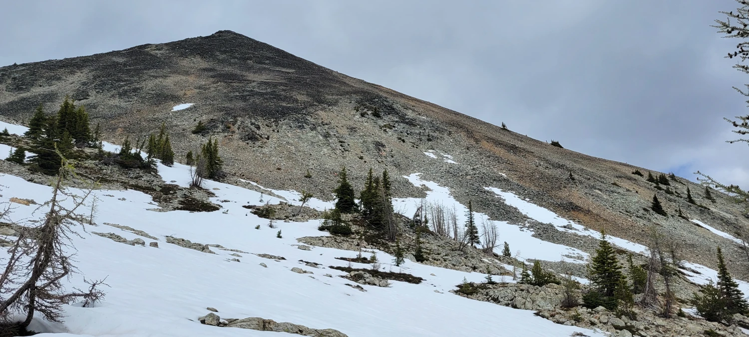
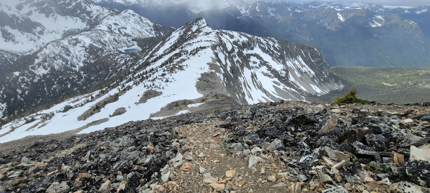
On my descent, I stumbled onto a faint climber’s trail on the southwest ridge—so much better than the boulder slog I’d done. If you want to avoid the mess, aim for the ridge near 48.82796, -120.58276 and follow that up.
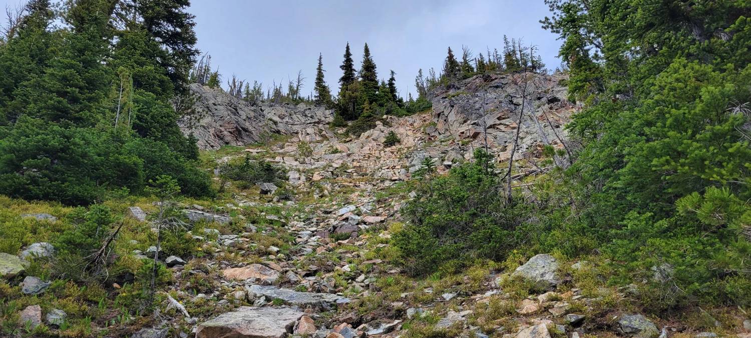
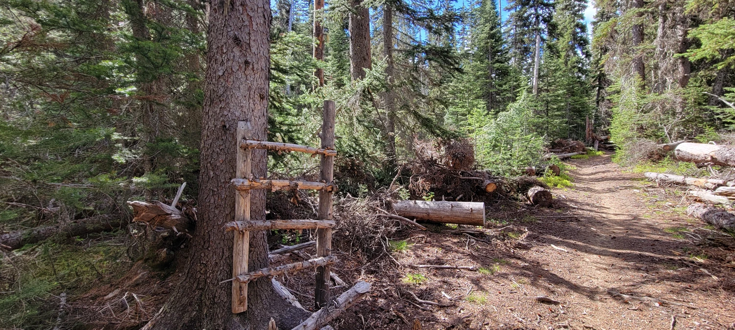
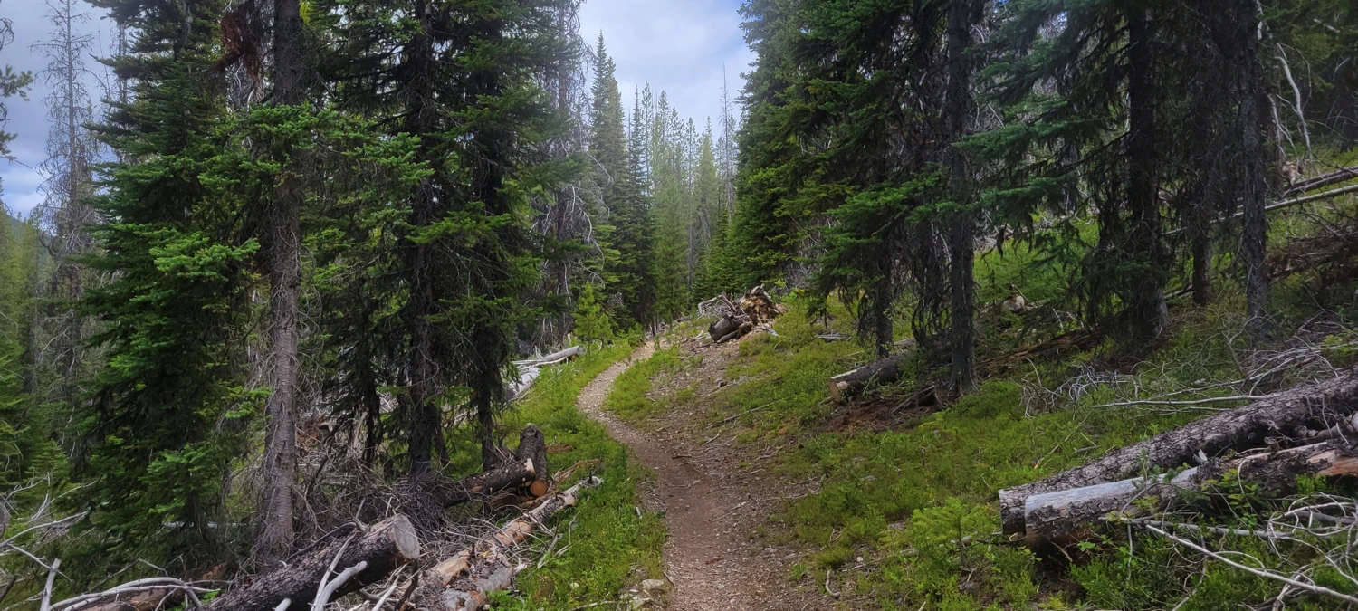
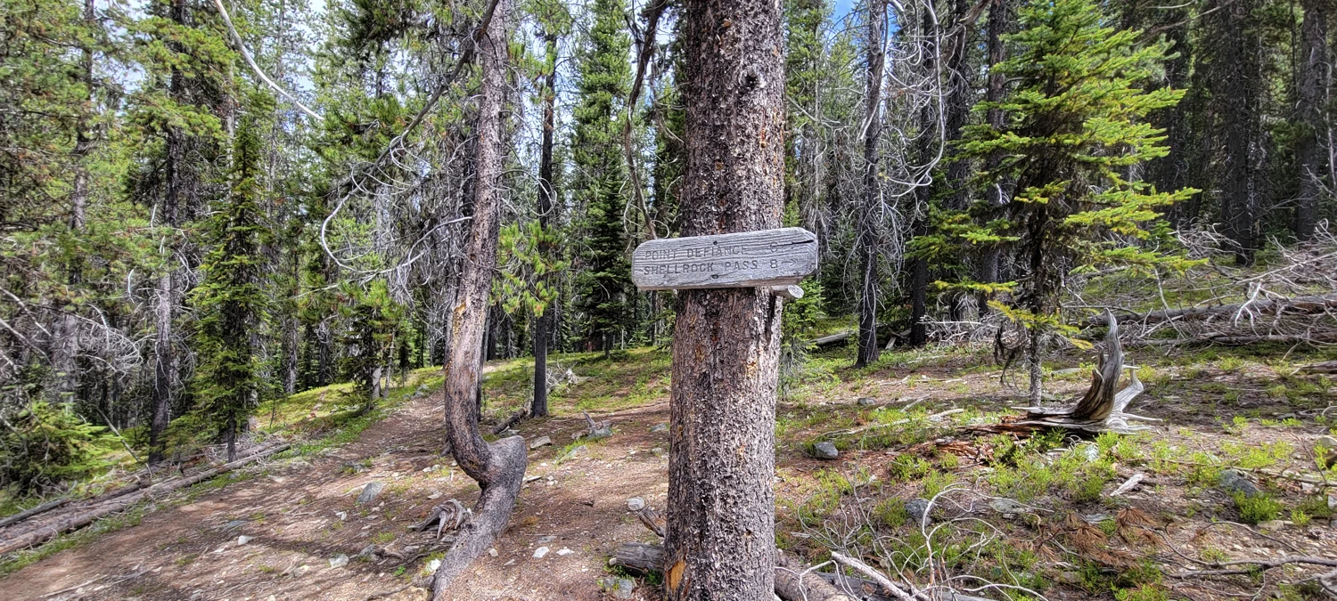
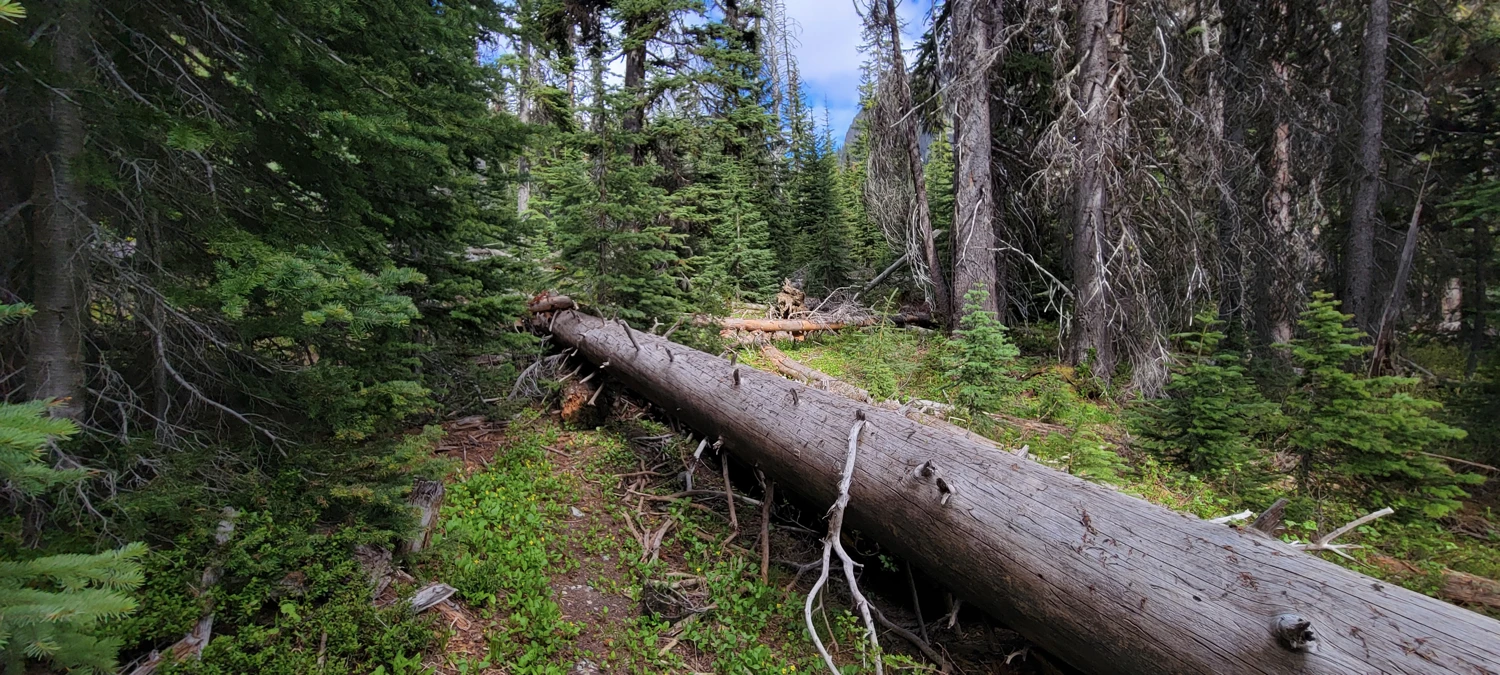
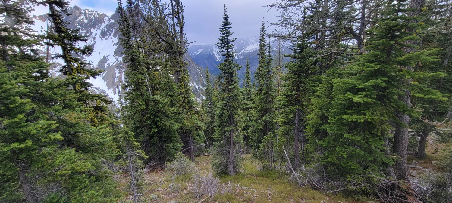
I cruised back down into the Eureka Creek Valley. The trail is passable but brushy in spots, and at the Shellrock Trail junction, the blowdowns begin. It’s clear this trail hasn’t been maintained in a long time. Despite being marked on Gaia, I couldn’t find it listed on any other maps or trip reports, so I suspect it’s now more of a climber’s route than an official trail.
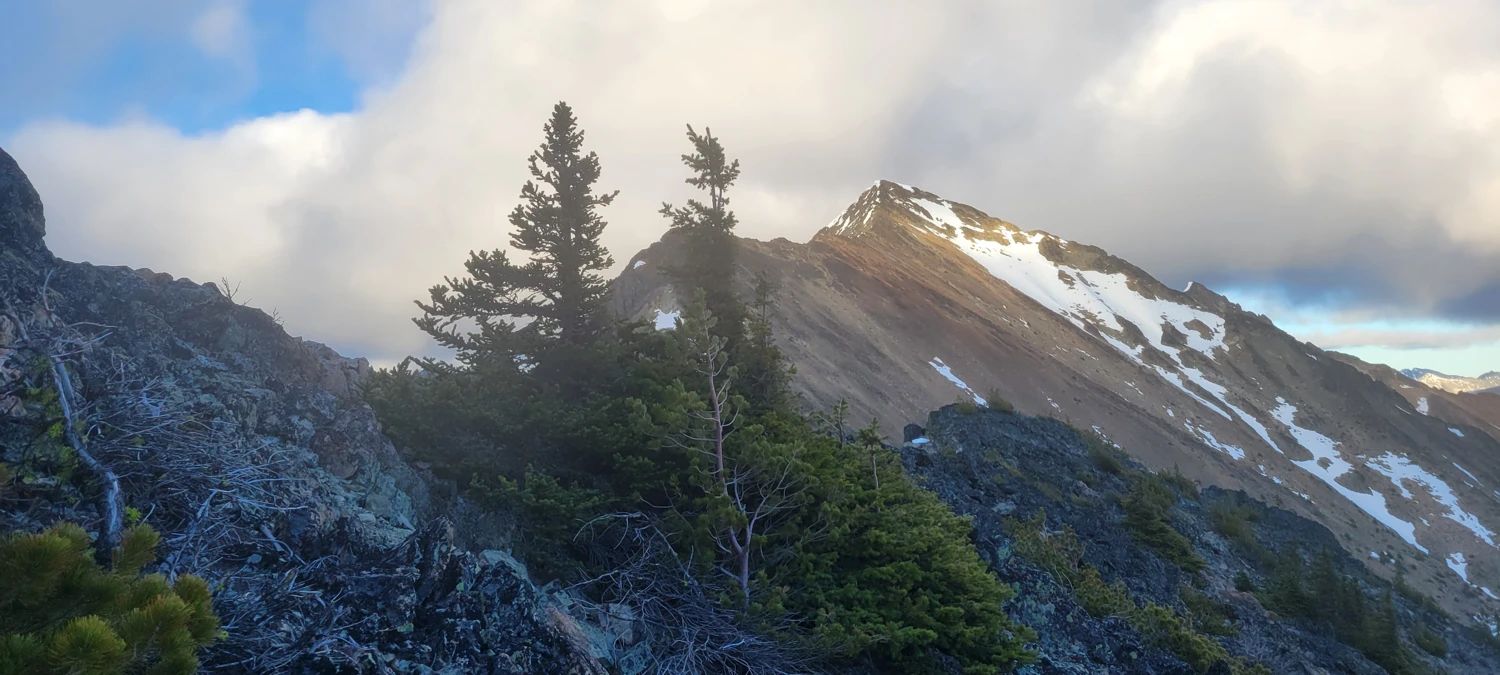
To begin my climb of Carru, I turned up a creek bed starting near 48.81928, -120.55125. I saw a couple of cairns here and there, but not much evidence of recent travel. The route got steep fast. In the forested section, visibility was poor and route-finding tricky. I hit multiple cliff bands that I had to detour around.
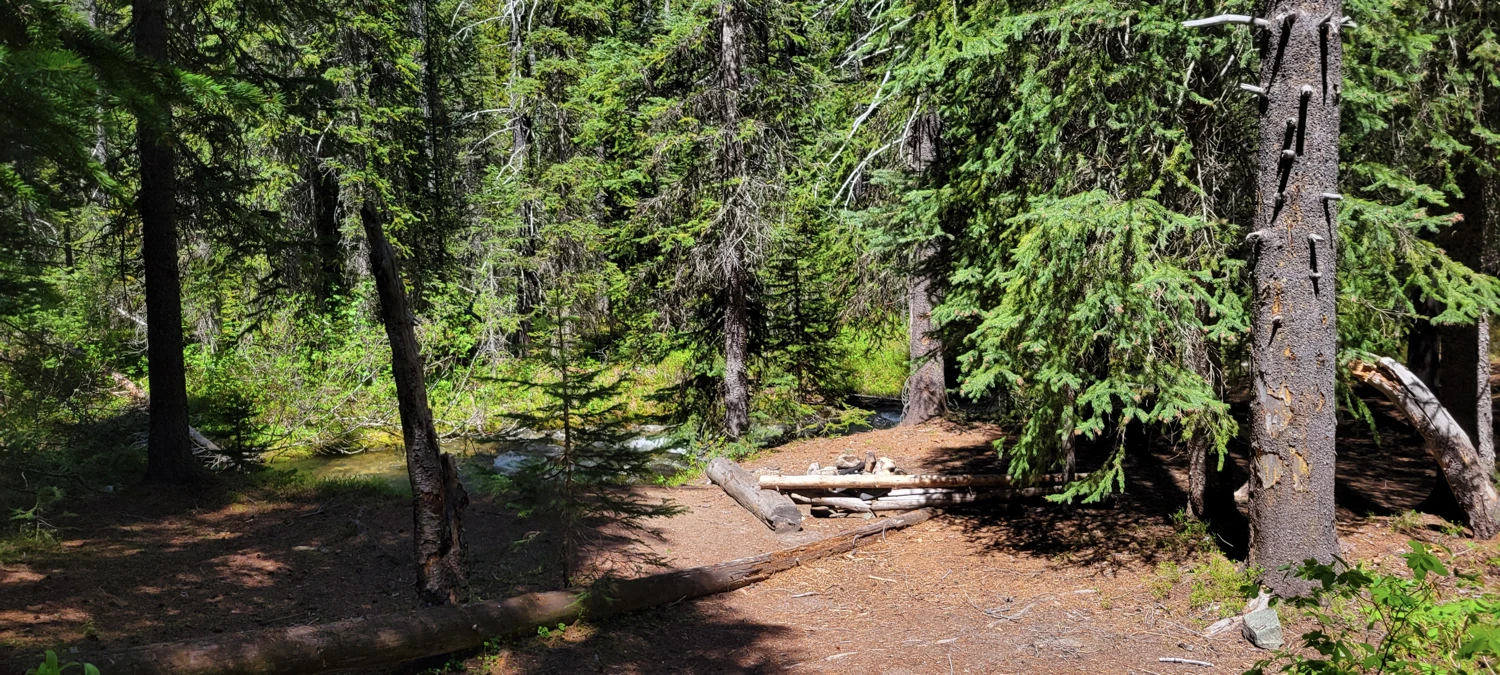
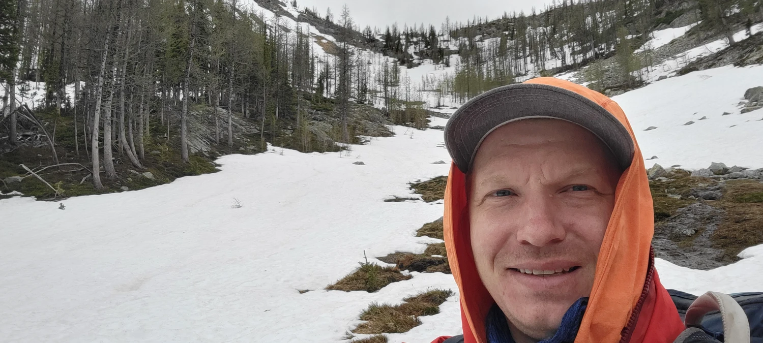
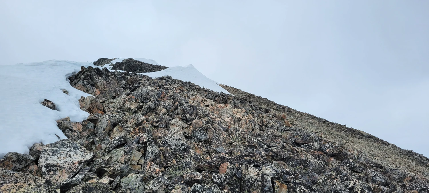
Once above treeline, the line up Carru’s southeast face was obvious. Before heading to the summit, I scouted out a bivy spot and found a flat(ish) area at 48.82574, -120.54883. I set up camp, hung my food, and pushed for the top.
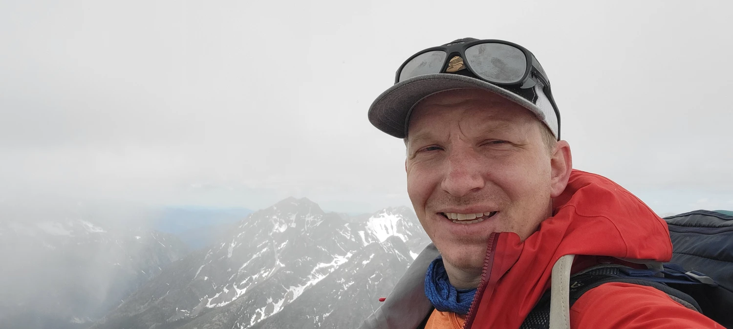
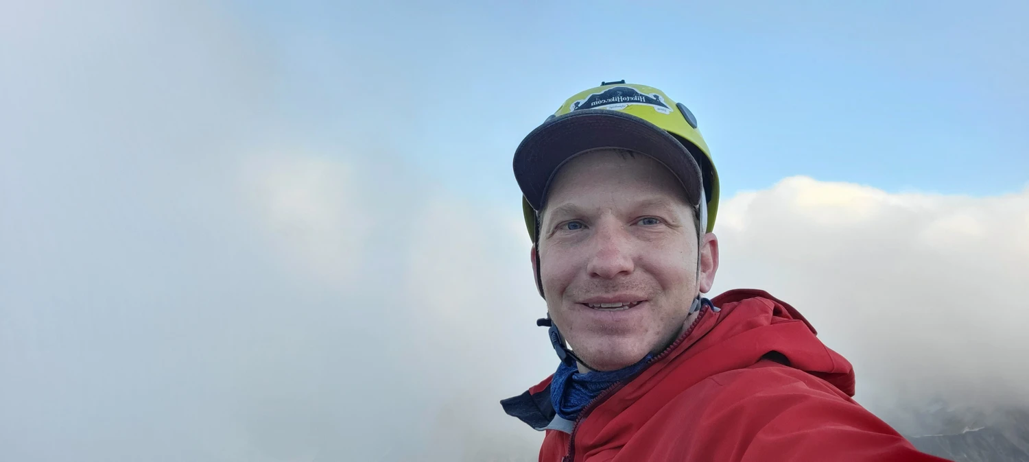
The final scramble up Carru was fun—mostly class 2, with just enough exposure to keep it interesting. As I climbed, clouds rolled in and started to sock in the peak. I topped out on Carru in low visibility, spent about two minutes at the summit, and started down before I lost all light.
I made it back to my bivy just as the sun dipped below the ridgeline. Ate dinner, stared at the sky, and got ready for what was supposed to be Day 2 of a much bigger link-up. With good weather in the forecast, I’d brought no tent and slept under the stars. But nature had other plans—I woke up in the middle of the night to falling snow.
By morning, I was wet, cold, and hungry. In my effort to go ultralight and fast, I’d brought too little food. I ate all three breakfasts just trying to shake the hunger. It became clear I couldn’t safely continue deeper into the Pasayten for more peaks. Instead, I made the long, 18-mile hike back to the car where I had a cooler full of burgers waiting for me.