


My first attempt at Remmel Mountain was back in 2023, after tagging both Cathedral and Amphitheatre. On that attempt, I tried climbing via the North Ridge — a line that’s gained a reputation for being either a tough scramble or an easy rock climb, depending on who you ask. I made it frustratingly close to the top before getting shut down by a series of scrambling obstacles I just couldn’t safely overcome. I remember thinking at the time: “If only this ridge gave just a little more opportunity to move upward.”
So this time, I decided to come at Remmel from a completely different direction.
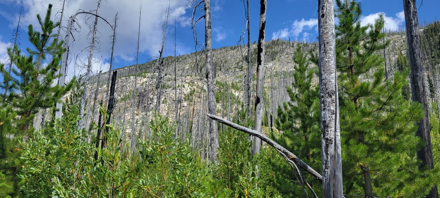
Thanks to years of heavy wildfire damage, the Andrews Creek approach isn’t popular anymore , but it’s still the shortest line to the mountain — and since my goal was a one-day push, short was exactly what I wanted. There’s no trail to the summit from this side, but that only added to the sense of exploration.
By contrast, the now-standard way up Remmel is from the Thirtymile Trailhead, which makes for an easier ascent and a convenient bivy at Four Point Lake. But I wasn’t after “easy” — just efficient.
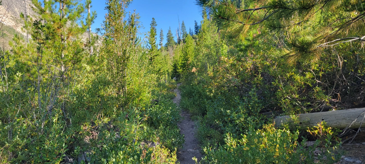
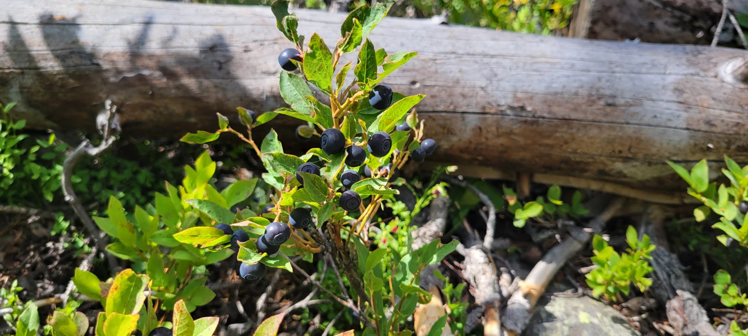
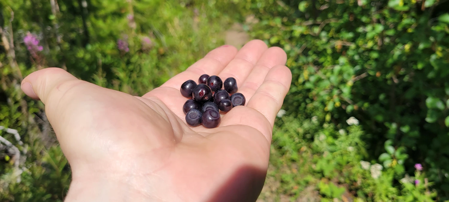
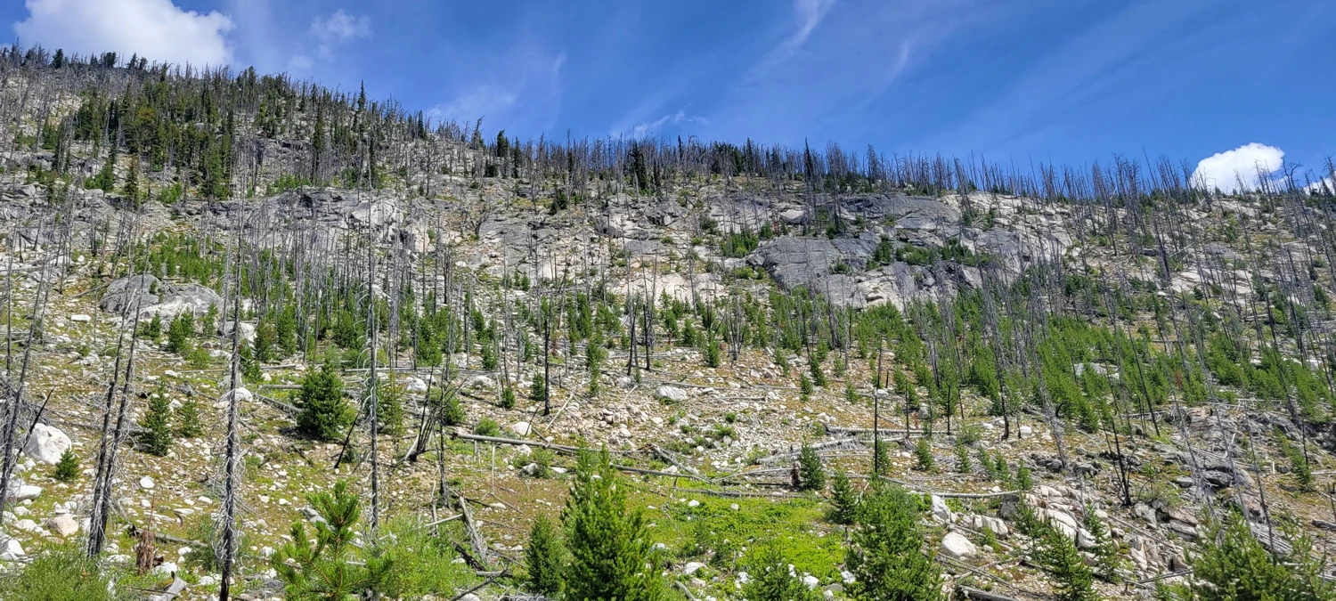
The Andrews Creek Trail itself is a bit overgrown in pockets, though still easy enough to follow. About three or four miles in, Remmel finally comes into view, giving you plenty of time to size up the huge east-facing slopes and decide which line might actually go. I snacked on some wild berries along the way while weighing my options
Older sources like SummitPost that offer advice for climbing Remmel Mountain still mention trails that simply… aren’t there anymore. Most of the online advice referenced Class 3 gullies dropping to Andrews Pass, but from where I stood, the East Ridge looked like the most direct and honest line — so I went straight up the side of the mountain.
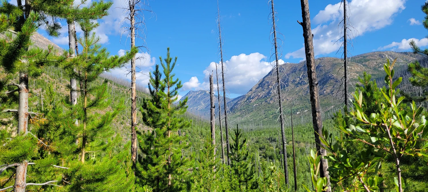
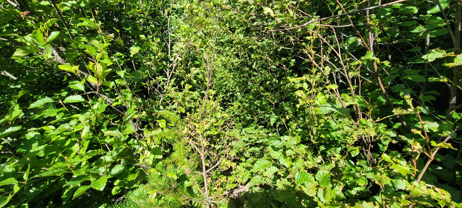
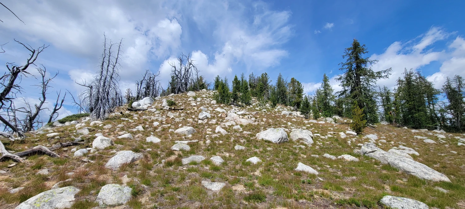
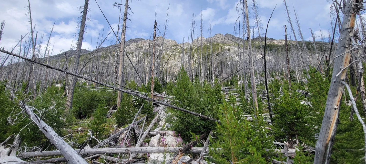
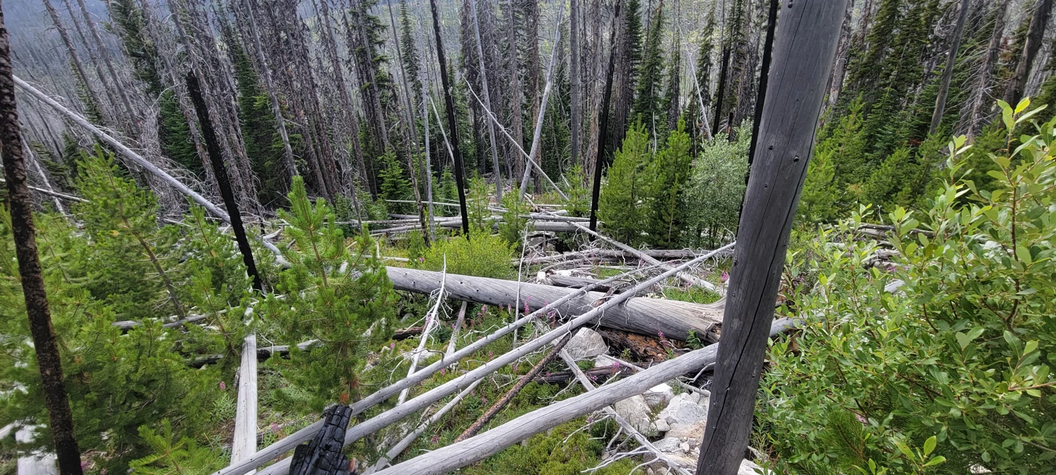
The lower section was a total slog. Hundreds of downed trees were stacked and tangled like giant toothpicks, so climbing through them felt like navigating a giant jungle gym. After gaining the first 600 feet, the terrain opened into mostly rock and low shrubs, and everything instantly became more pleasant.
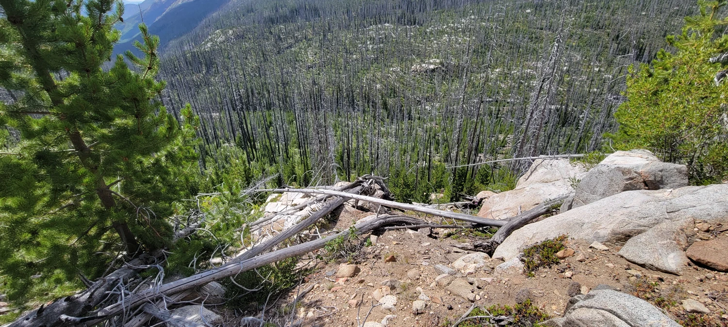
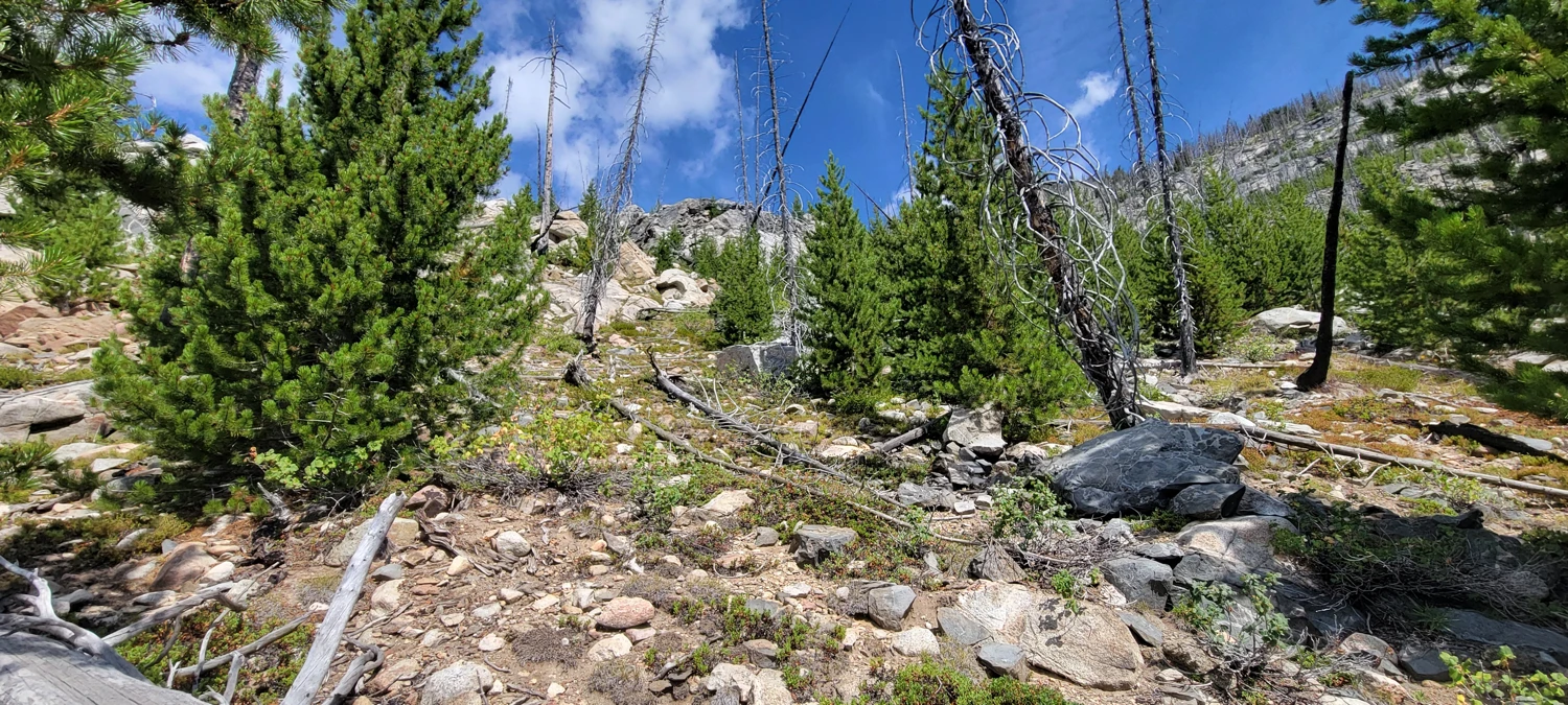
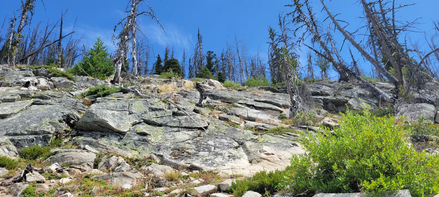
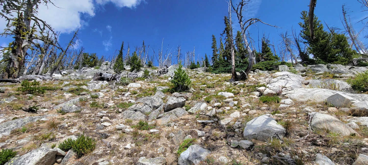
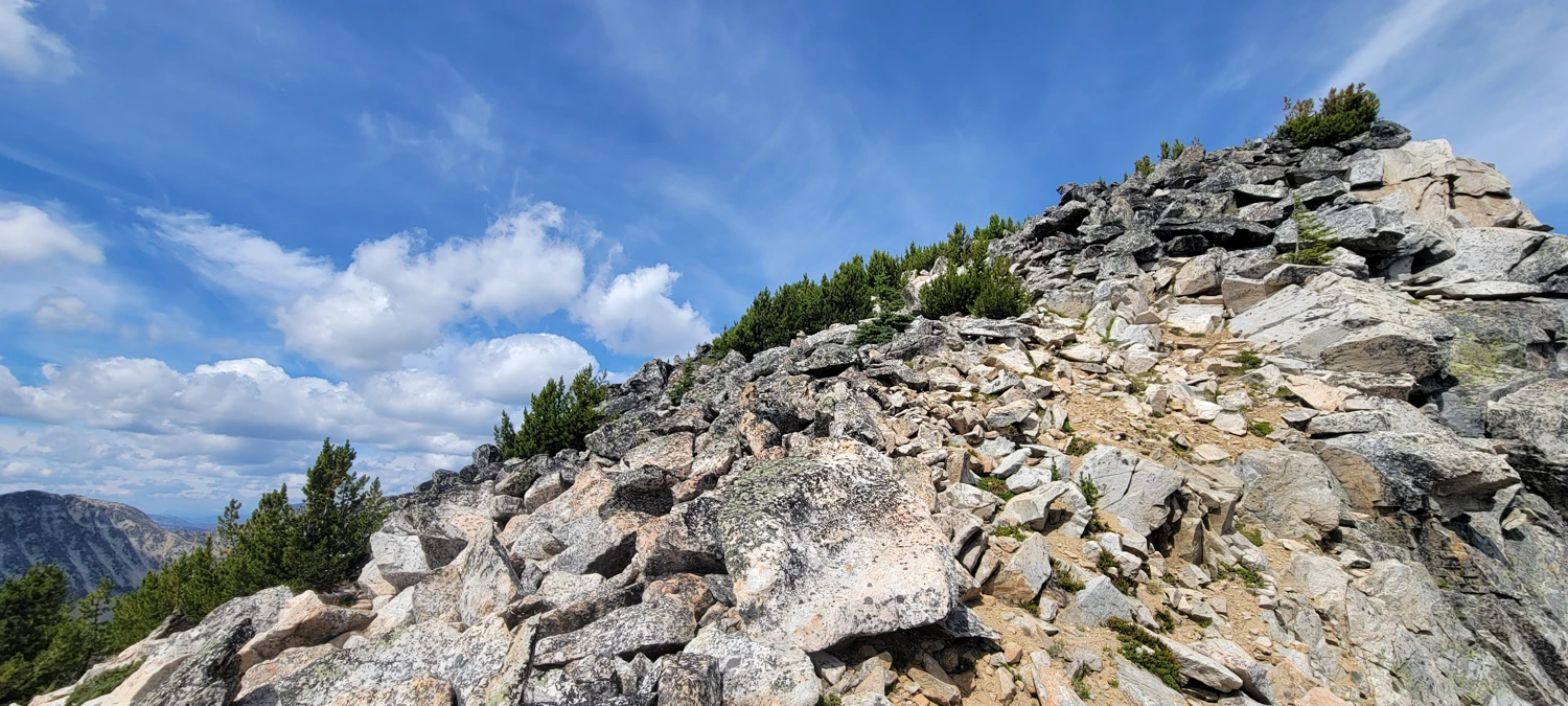
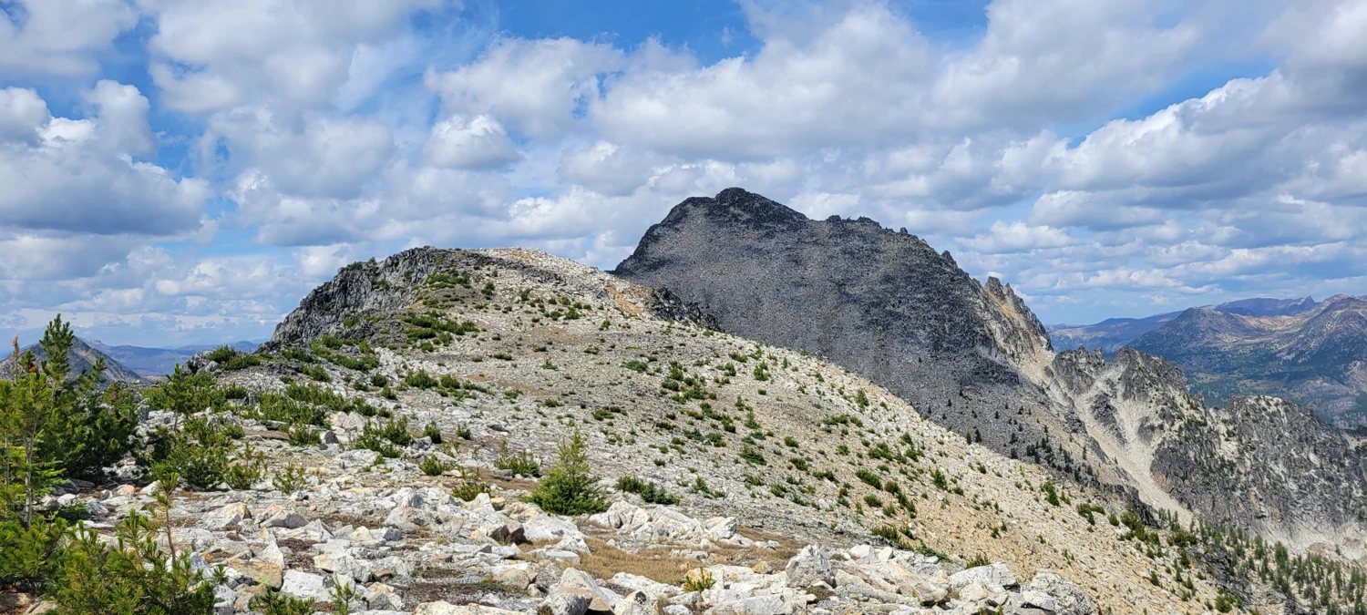
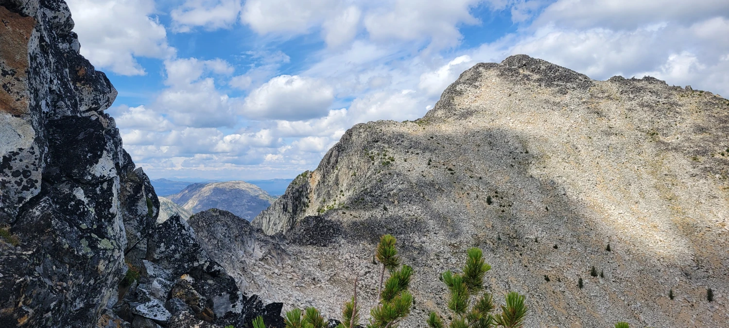
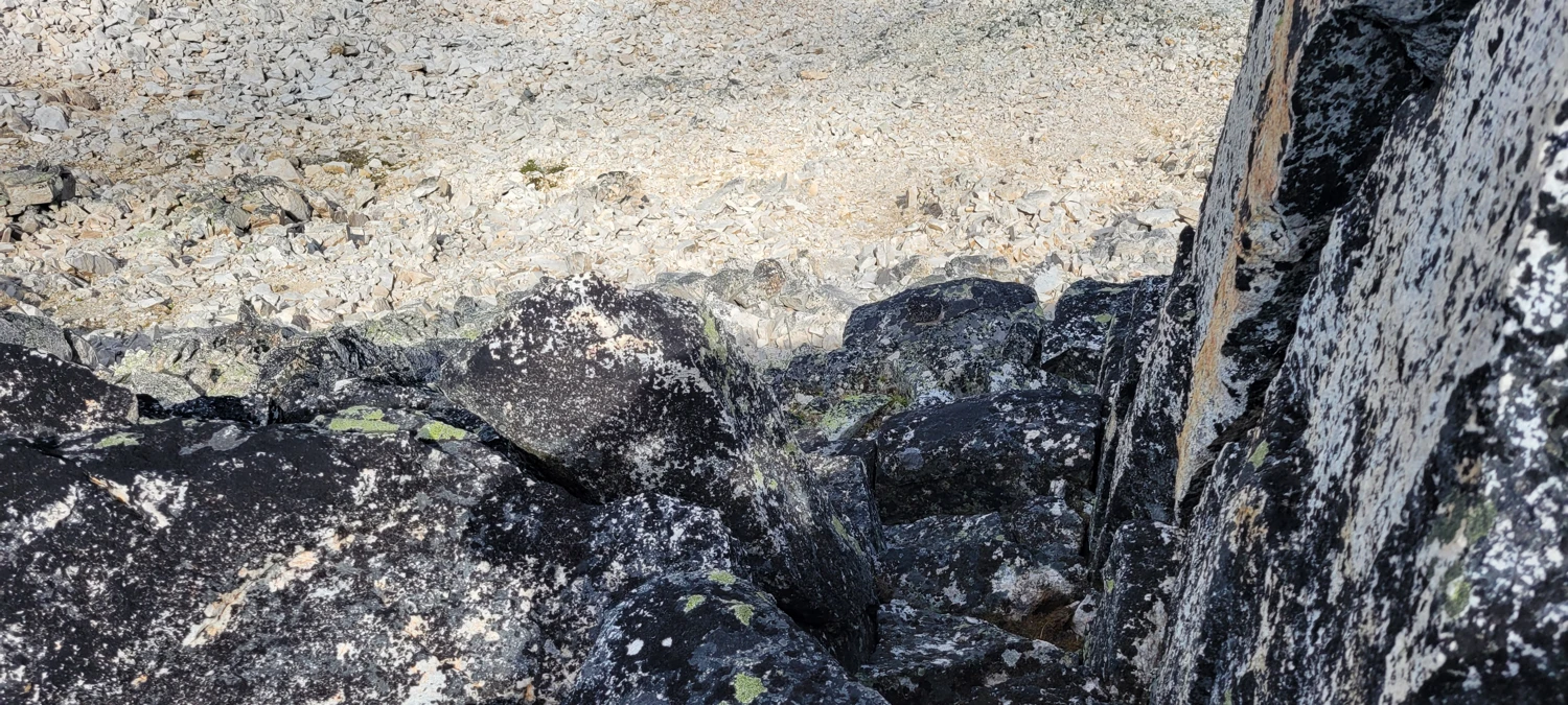
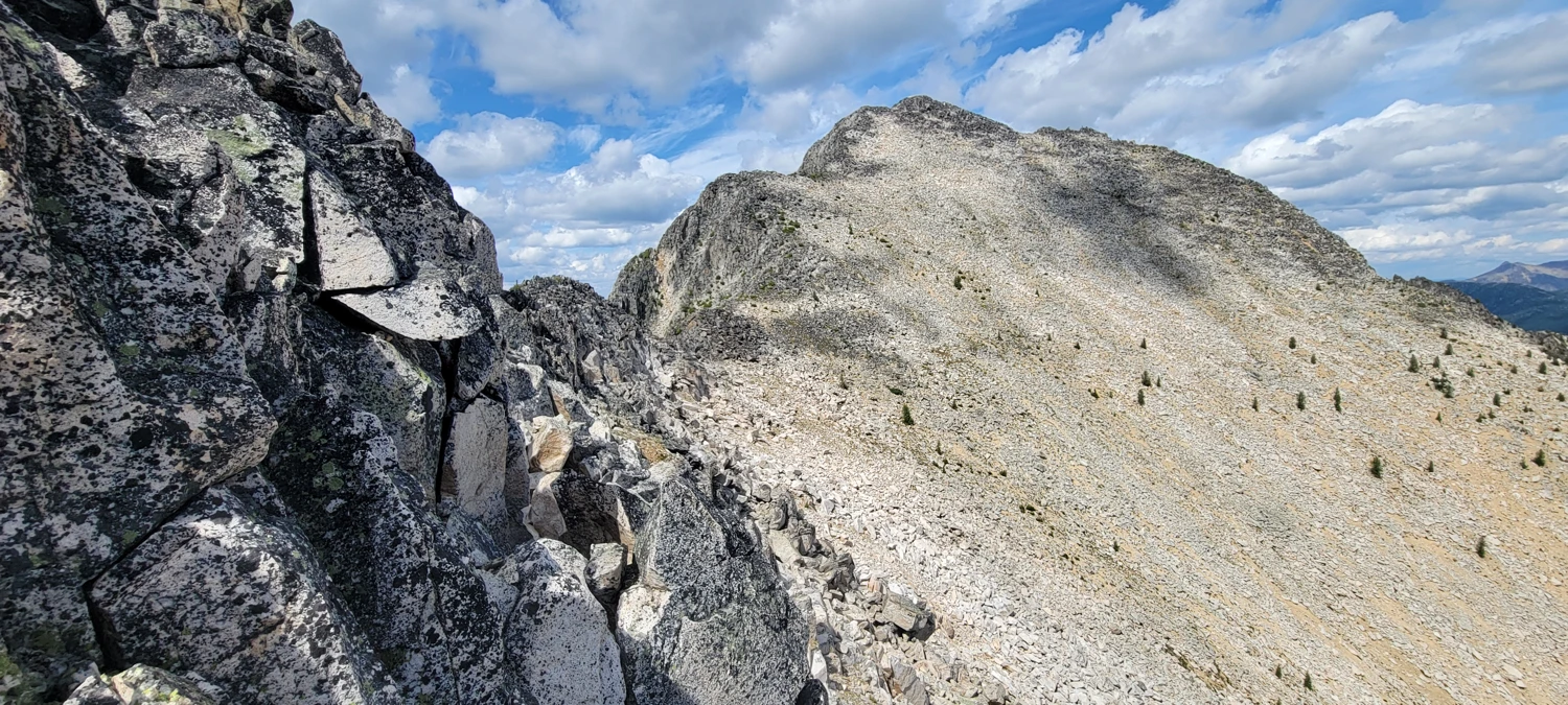
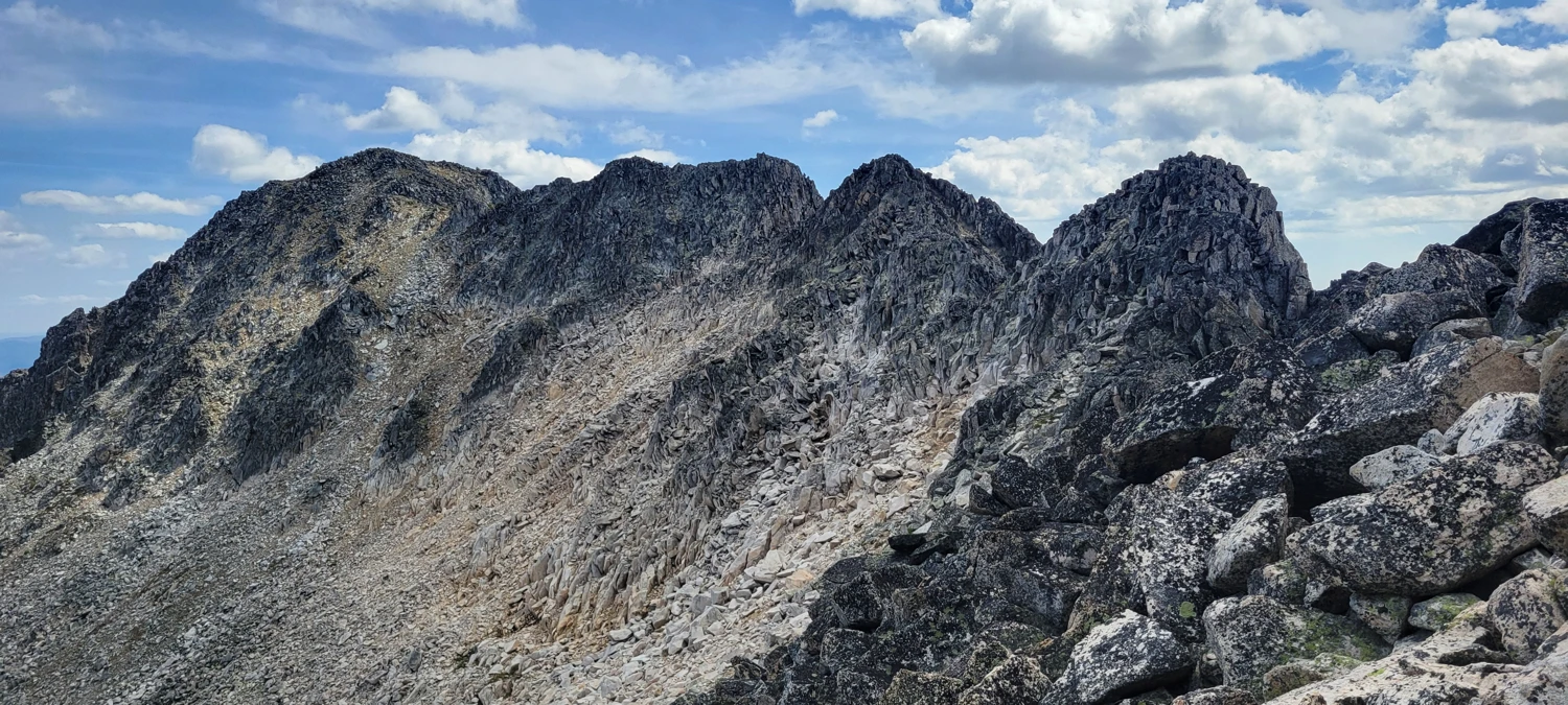
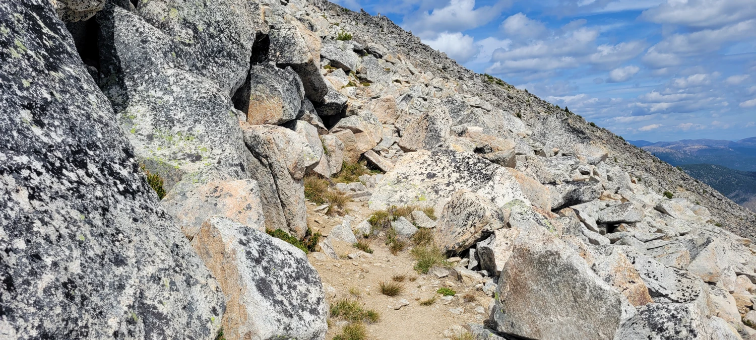
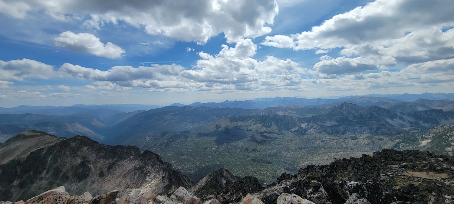
Once I hit the crest of the East Ridge on Remmel Mountain, the travel improved dramatically. There used to be a trail here — long abandoned now — but I chose to stay right on the ridge proper. Easy boulder-hopping gradually transitioned into a more rugged and narrow rocky skyline. Routefinding became the main challenge, especially because I didn’t see a single cairn or footprint the entire time. It felt like I had the whole ridge to myself, carefully weaving around gendarmes and small broken cliff bands. Most of the scrambling here sat solidly in Class 3 terrain.

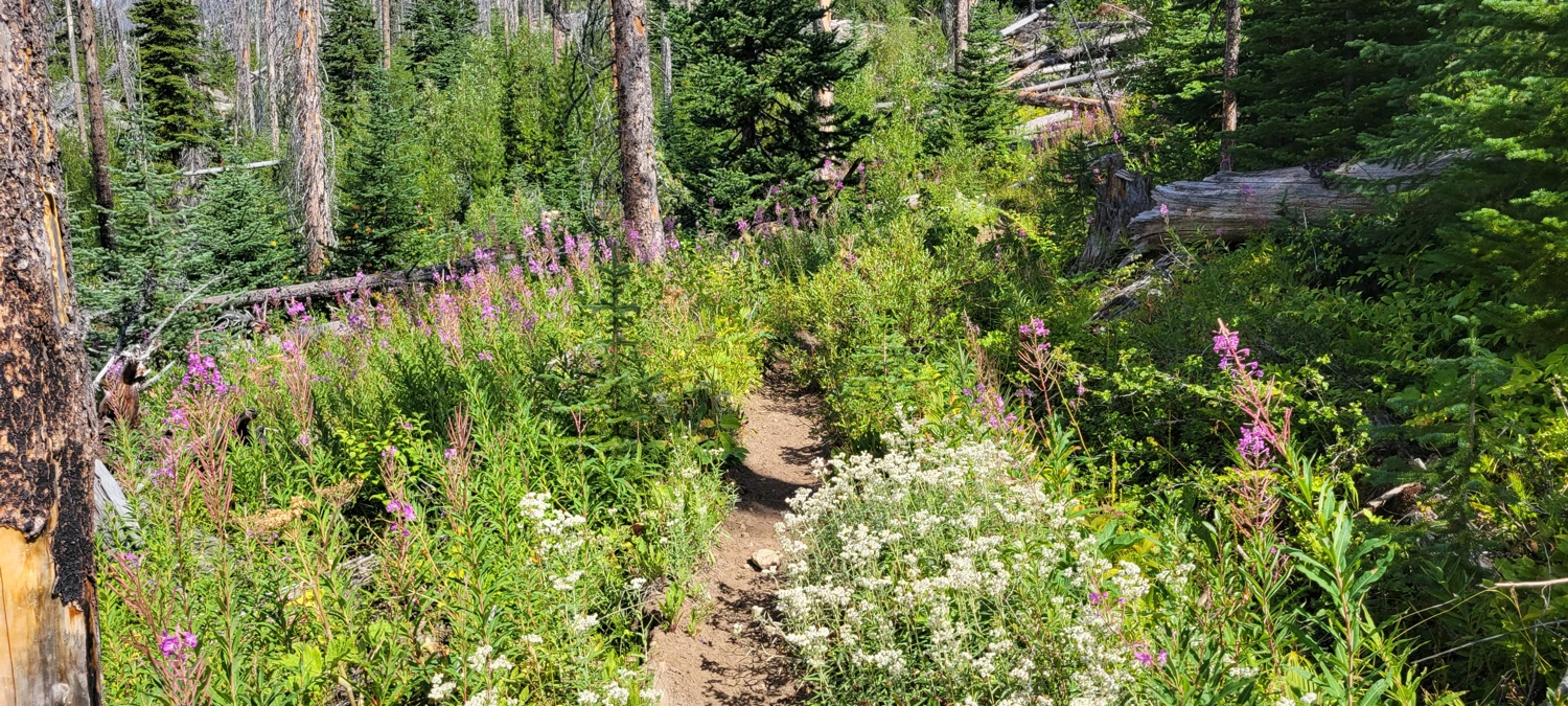
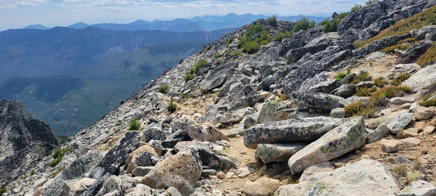
After working through the final stretch of boulders, I intersected the established summit trail near 48.92193, -120.19683. From there, the switchbacks make the last bit feel relaxing compared to everything that comes before. If you want the easiest path to the top, this is the trail that ties back down to the Thirtymile approach.
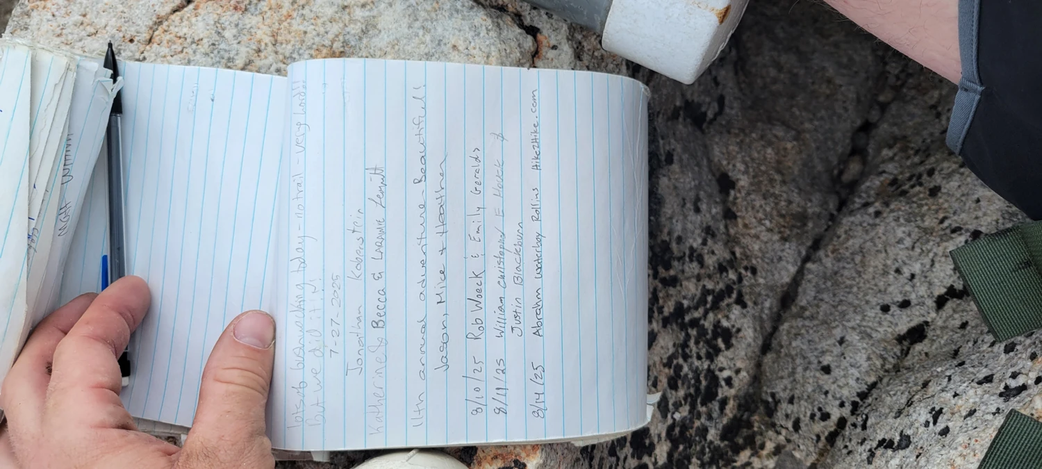
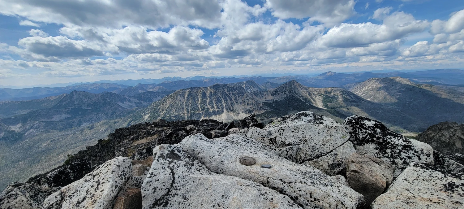
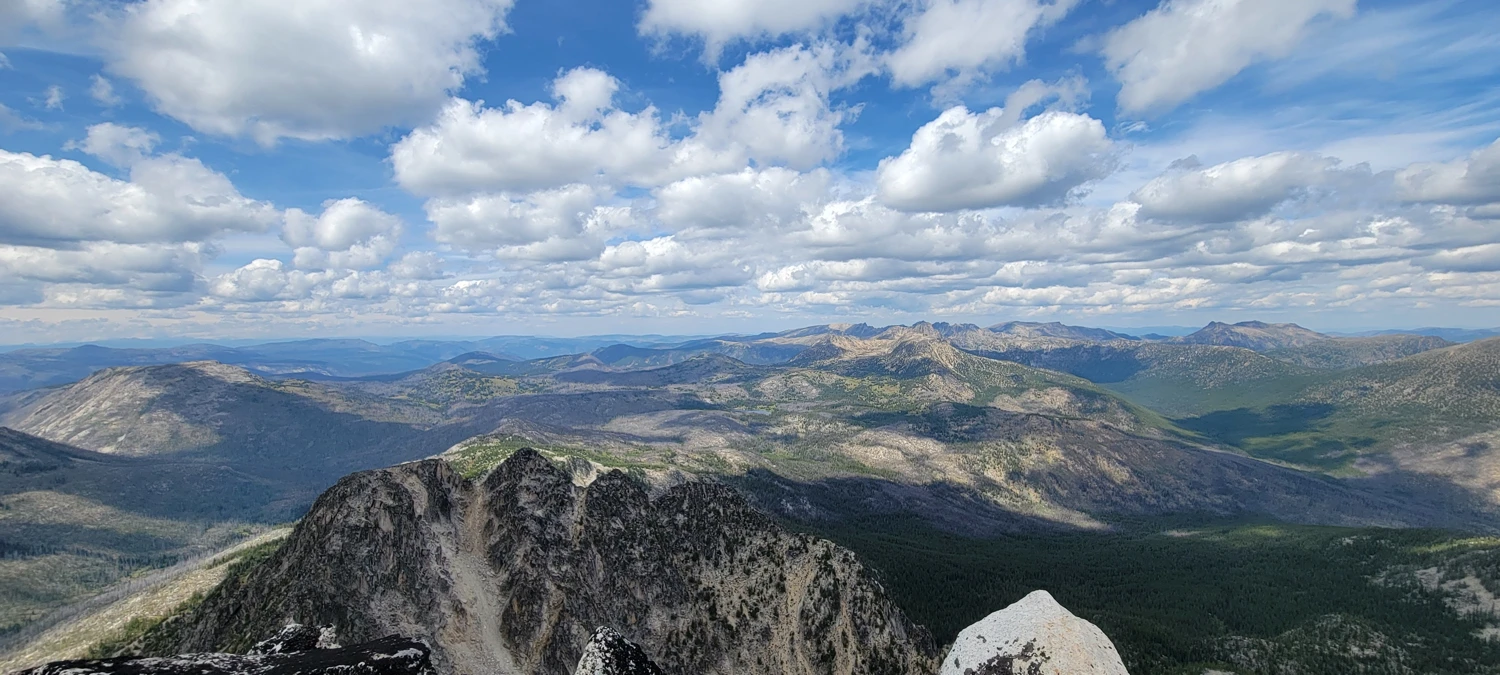
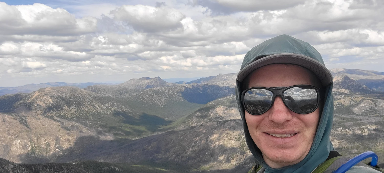
Standing on Remmel’s summit was deeply satisfying. I could even see the exact spot where I failed in 2023. Turns out I was maybe fifteen minutes below the top on that first attempt. A bit of a gut punch, but also motivating. One more Bulger checked off the list.
For the descent of Remmel, rescrambling the entire ridge didn’t seem appealing, so I dropped into a gully that looked reasonable from above. It worked fine for going down, even around a dried waterfall section, but I wouldn’t choose that line as an ascent. Lower down, I balanced across another maze of downed trees — tightrope-walking from log to log to avoid the thick brush below.
Once I hit the trail again near Andrews Pass, it was just a long cruise back out. I made it to the car before dark, inhaled a couple of chili-dog wraps, rinsed off in Andrews Creek under the bridge, and crawled into bed feeling fully satisfied with the day.
Another Bulger down. Many more to go.