


Due to the sudden warming this past weekend, I spent most of my time working around the house and running errands. I was hoping the weather would cool off enough for me to try climbing Whitehorse on Sunday, but even at 7000ft, the weather service predicted temps into the 60s. Plus, the clouds would show up early morning, which would have nixed a view anyway. So instead, I decided to try for a tiny weather window on Beckler Peak.
The drive out was relatively peaceful because it is still the lull between spring and actual summer traffic along Highway 2. The worst part was Forest Road 66 up to the trailhead. There are a ton of potholes. In addition, it is muddy now, which caused my Subaru to spin out several times. But I could make it without high clearance or needing to dodge any trees.
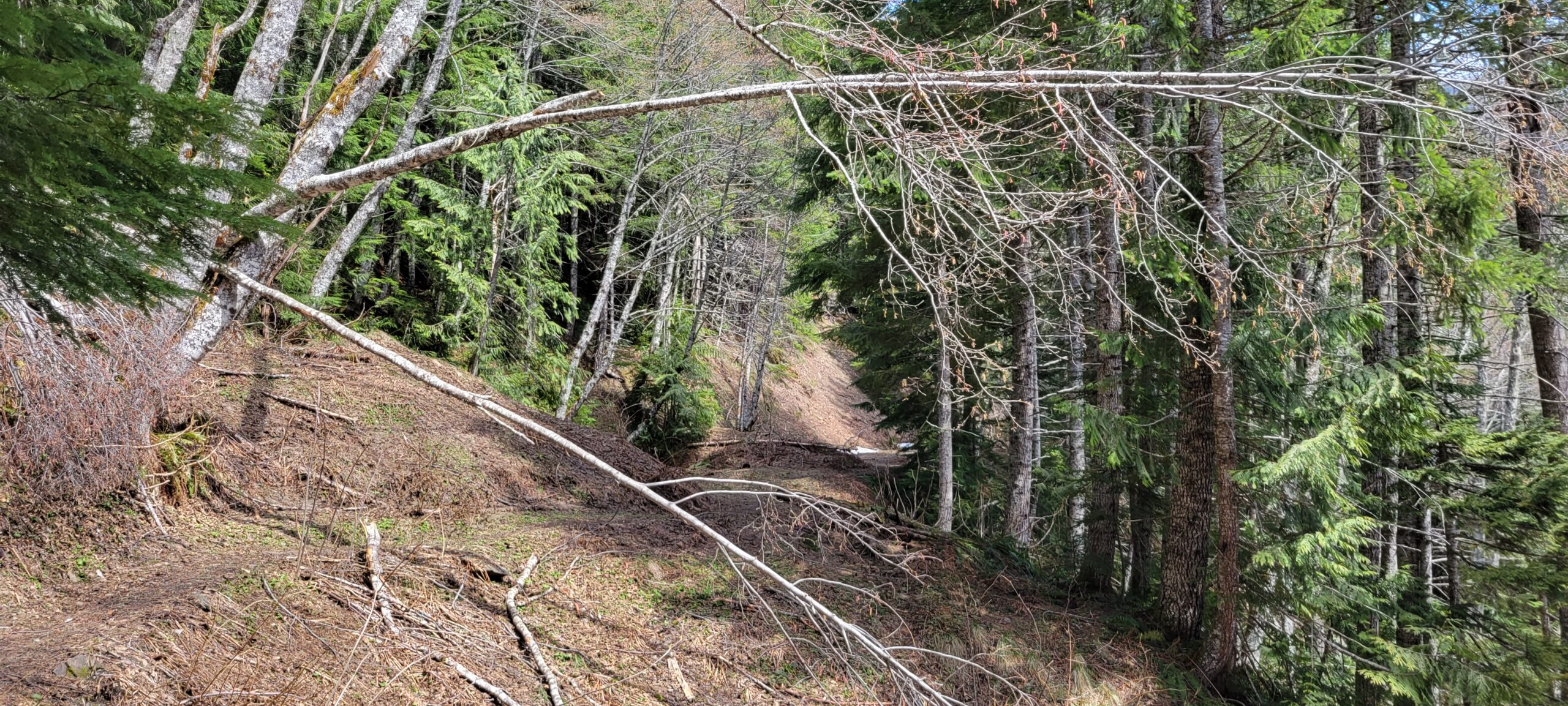
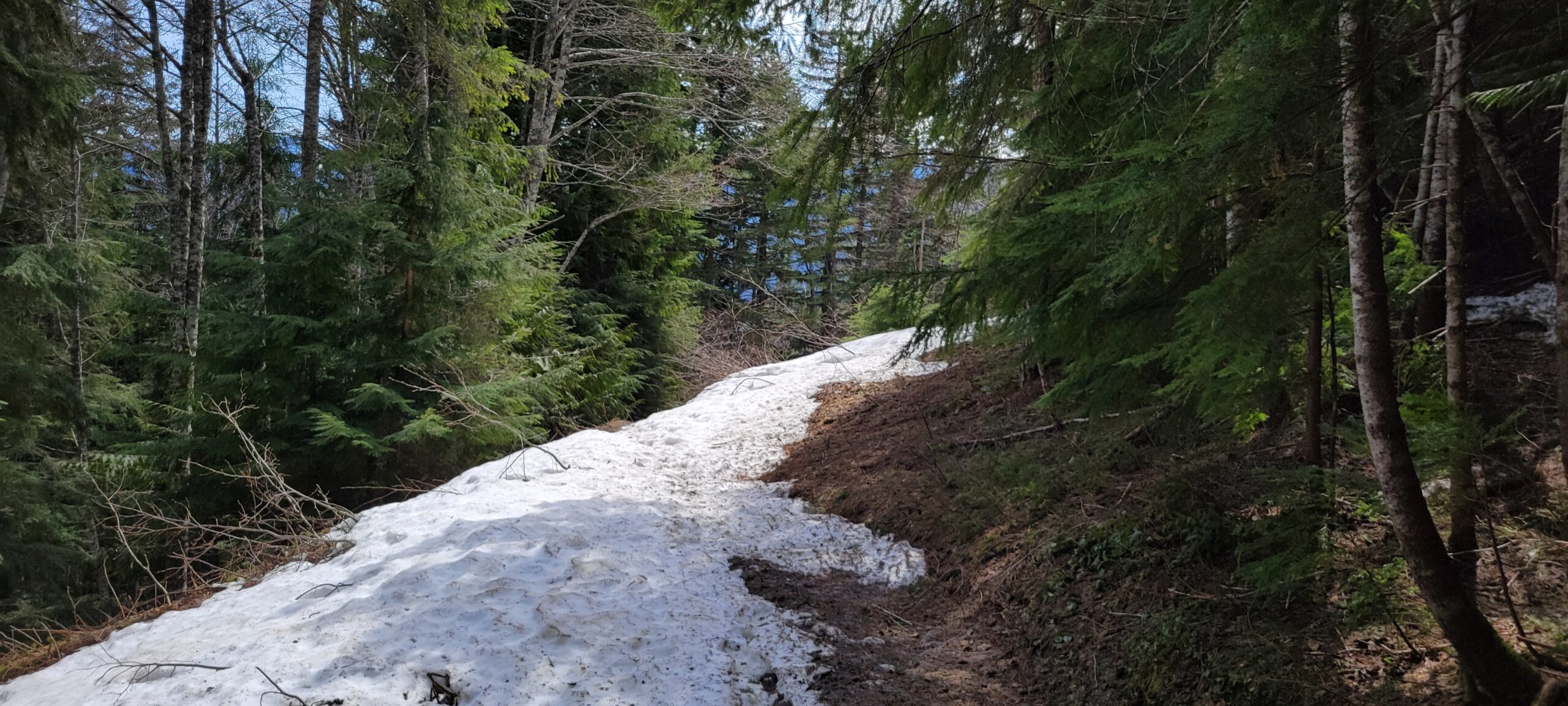
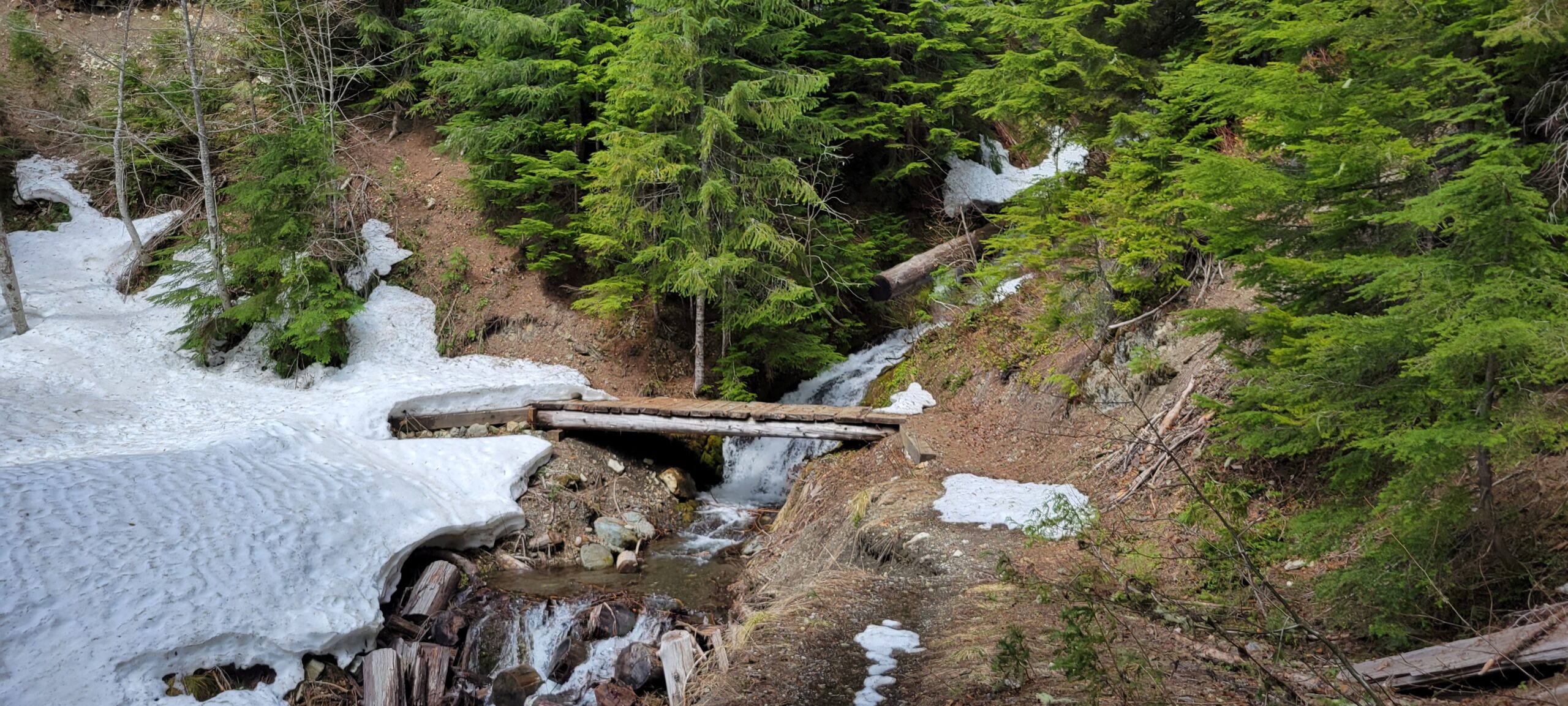
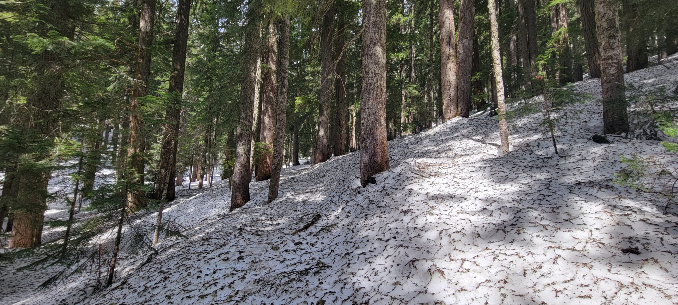
The trail’s first half mile is dry but quickly turns into patchy snow. There is still a considerable amount of snow low down on the road, and it becomes solid by mile one. If you go up right now, you will make several creek crossings along the road section up Beckler Peak. I could quickly get past them since the day was reasonably cool. But on a warm day, I could see one or more of them being problematic to get across.
I was disappointed in myself. Eager to make the weather window and get fresh mountain air, I left home with my trail runners. Unfortunately, I did not bring boots or gaiters. Getting through the snowy areas might be less dramatic than it feels in my head. Either way, be cautious on those creek crossings.


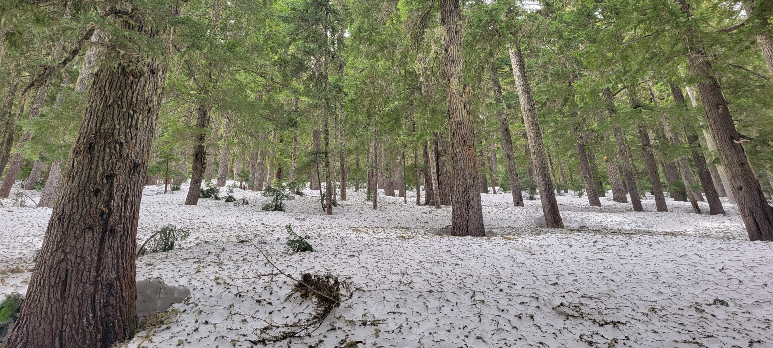
After leaving the road, the trail is solid snow the remainder of the way to the summit right now, and after the melting and refreezing over the past several days, it was a mixture of soup and concrete. If you want to go, bring microspikes. That was the one piece of gear I am glad I remembered.
The only other group I saw for the day pulled in just as I left the parking lot. They caught up to me on the trail, passed me at one point, and then chose to head back once the road ended.
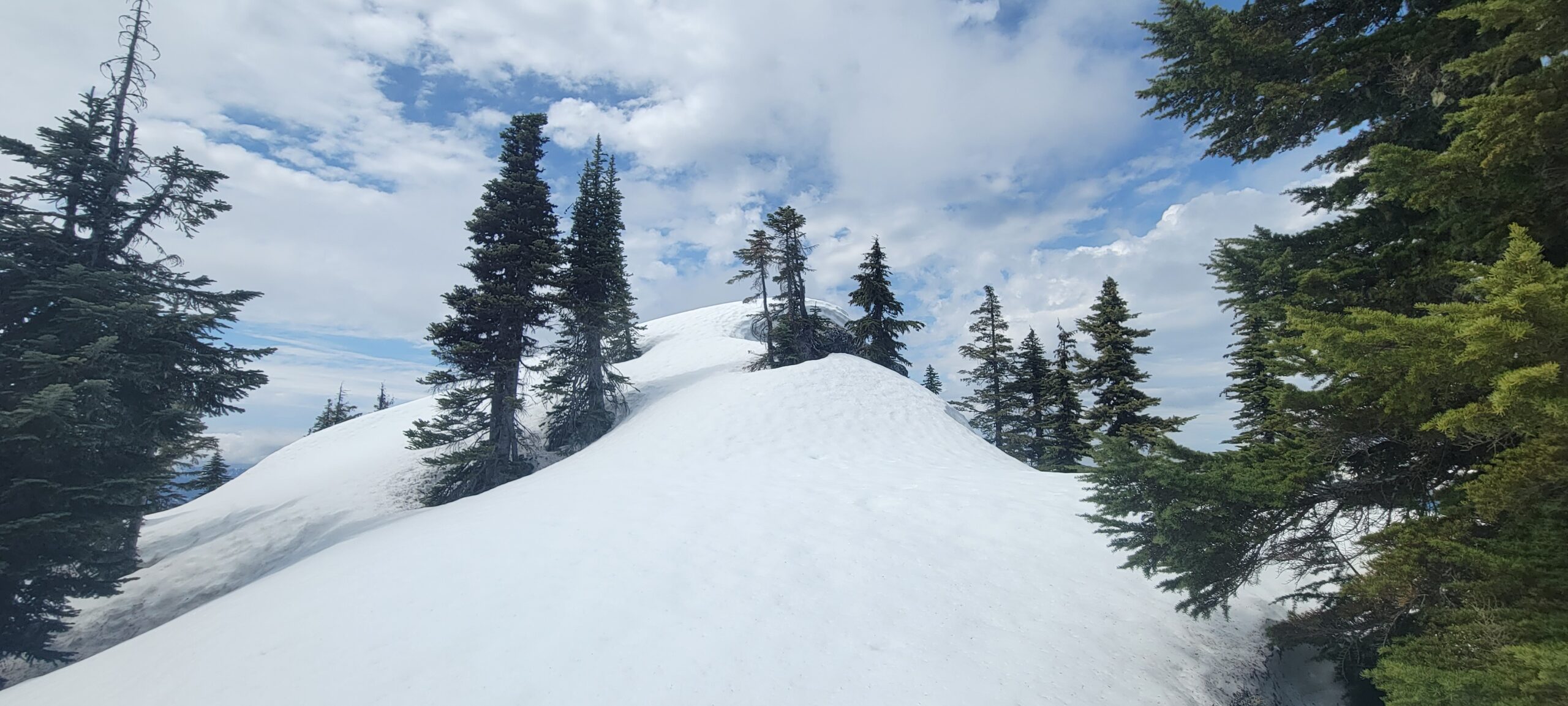
Since the entire section of the actual trail is buried deep inside the snow right now, it cut some distance off the day. But, struggling up the side of Beckler Peak without switchbacks not be for everyone. In fact, I only saw one other set of tracks that went past the first section up to the ridgeline. I followed the tracks until around 4500ft before they led in a few circles, and I decided to head straight up the hill.
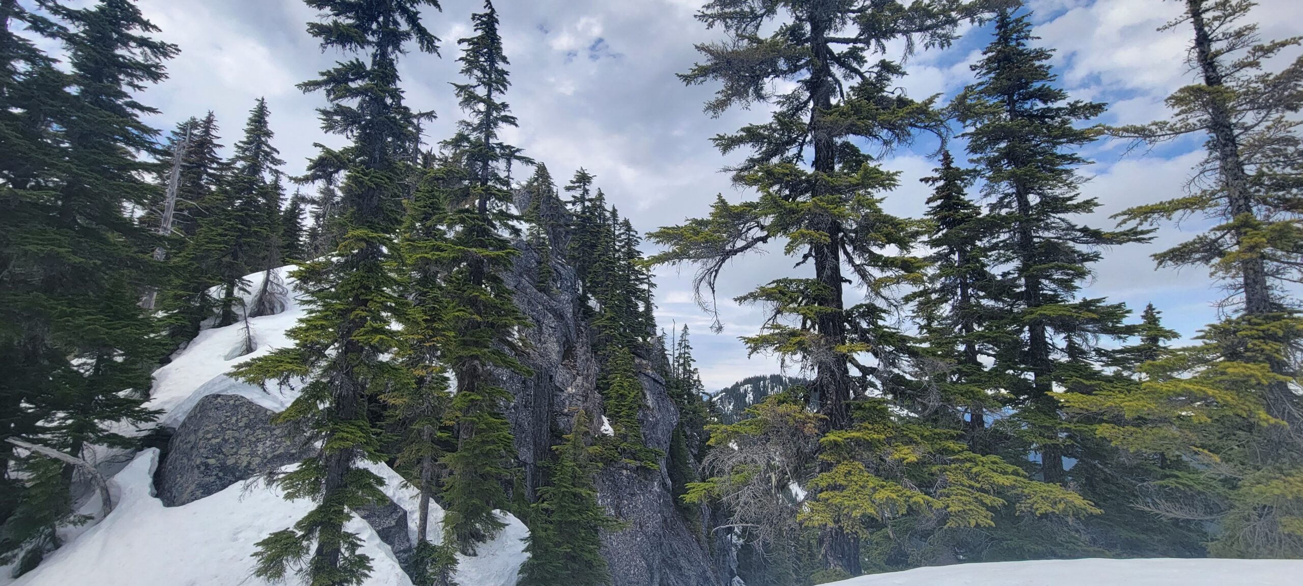
The last few hundred feet was a struggle. The snow was softening due to the midday sun, and my legs were growing tired from breaking trail with inadequate footwear.
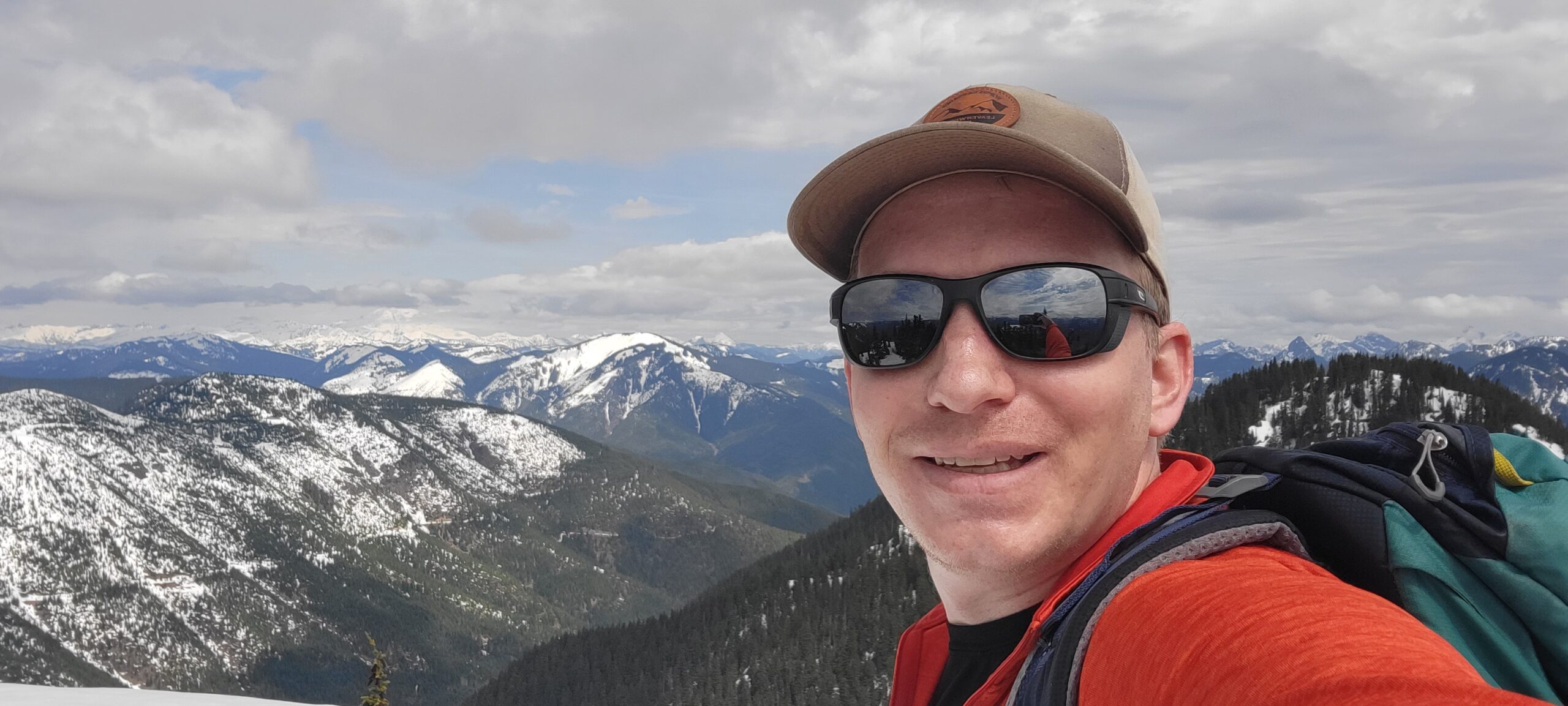
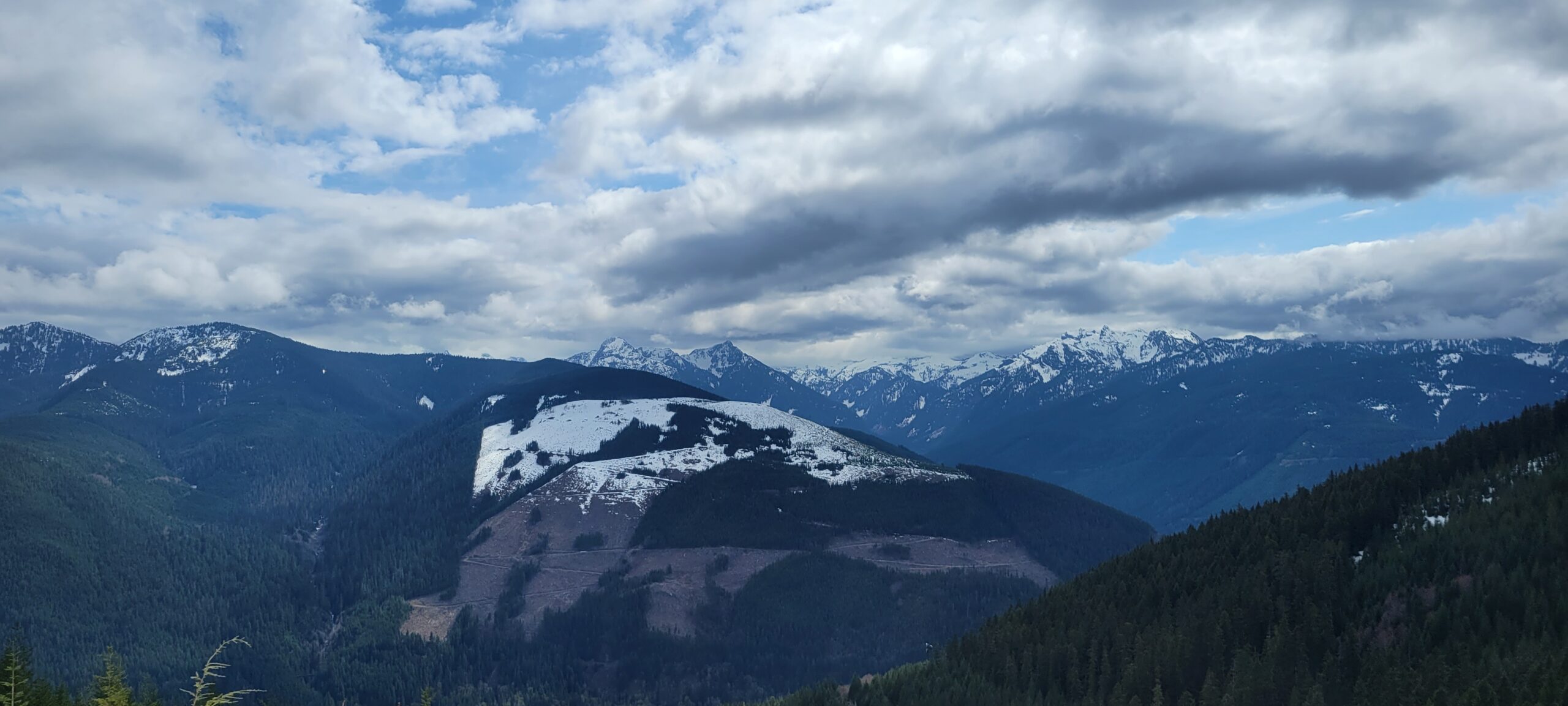
After the way this winter has gone for me, standing on top of a peak in the sea of mountains our state provides was the breath of fresh air I sought. It was hard to peel myself away from the view, the silence, the cold wind on my cheeks, and the general feeling of contentment that comes with these places.
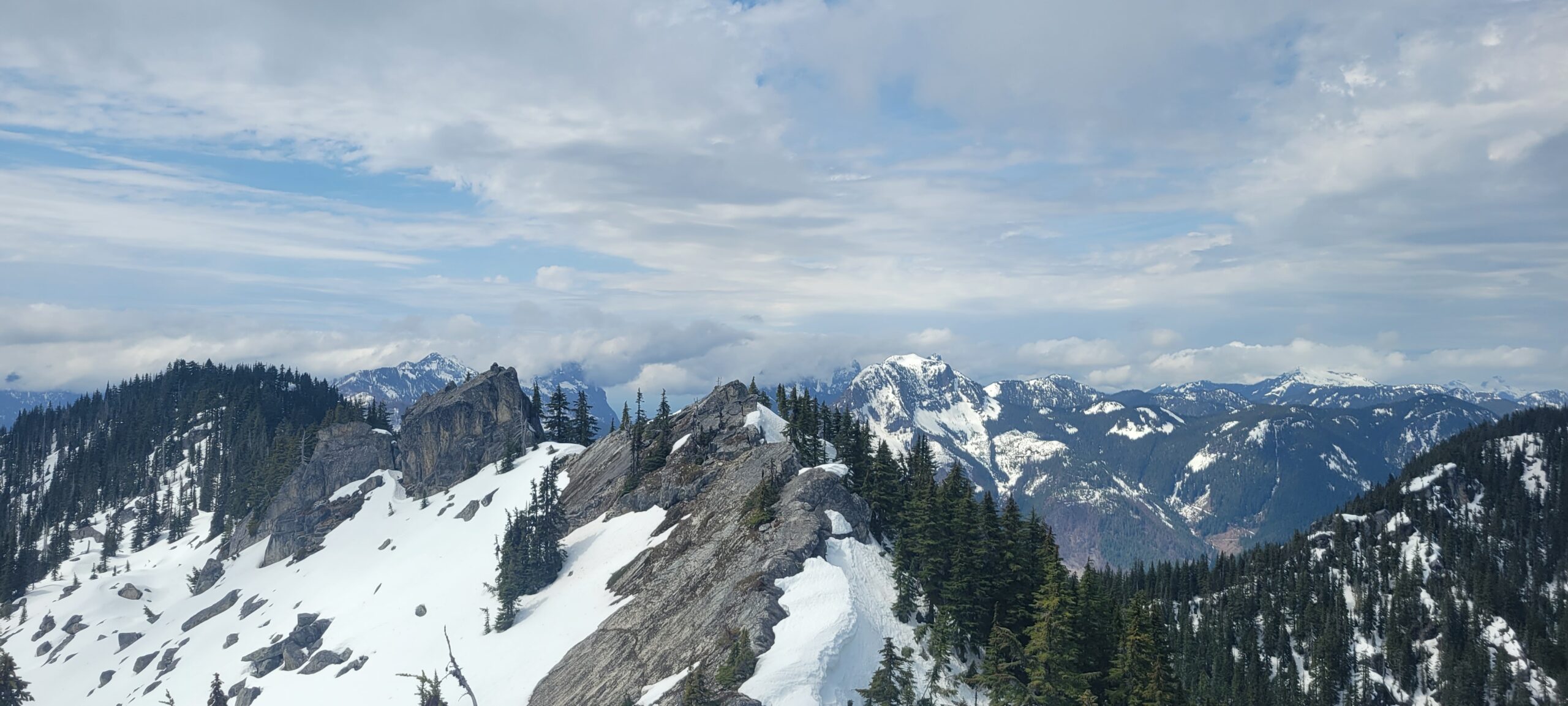
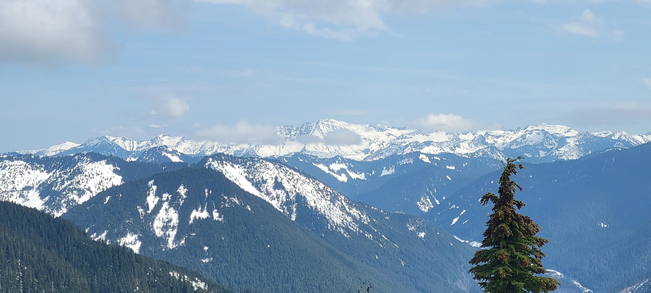
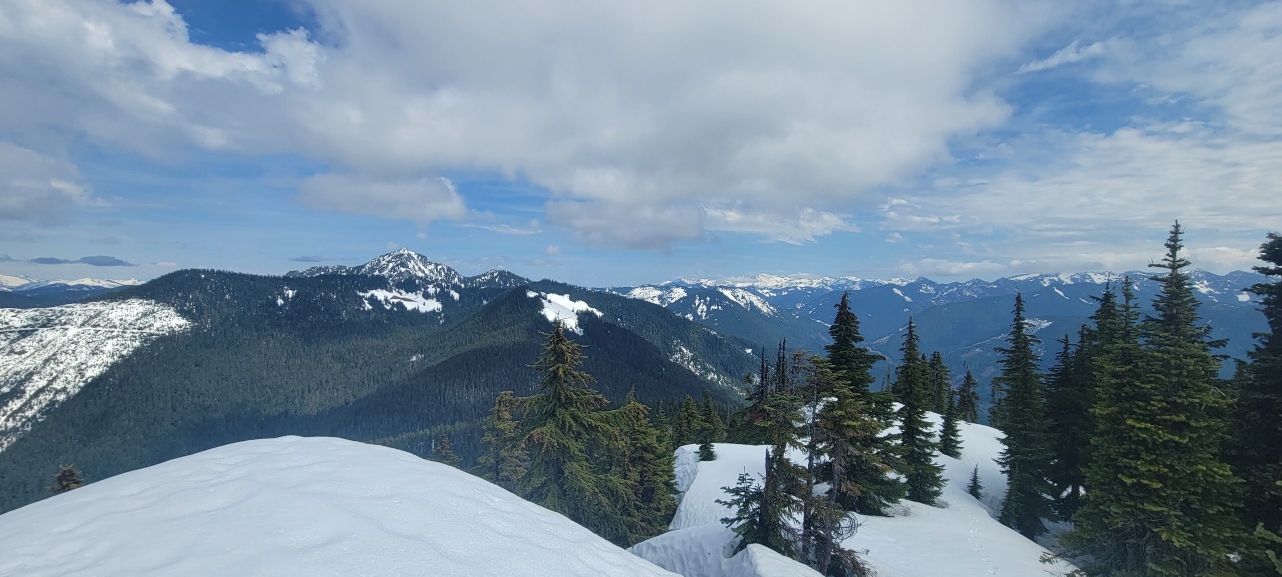
Beckler Peak isn’t going to knock your socks off. The trail is dull. The area has better summits like Mount Index, Mount Baring, Merchant Peak, and Gunn Peak. But for the skill required and the lack of other parties, Beckler Peak feels just as worthy of a goal.