



Blackjack Ridge sits just outside the core Enchantments and lacks the hordes of people so common in this area. With a brief weather window for the day, I decided to give Bootjack Mountain a try. Winter had started to settle in over the past week, so I wasn’t sure if a summit was even going to be a realistic goal. But the possibility of a mostly empty trail and some time with the squirrels was enough of a motivator.
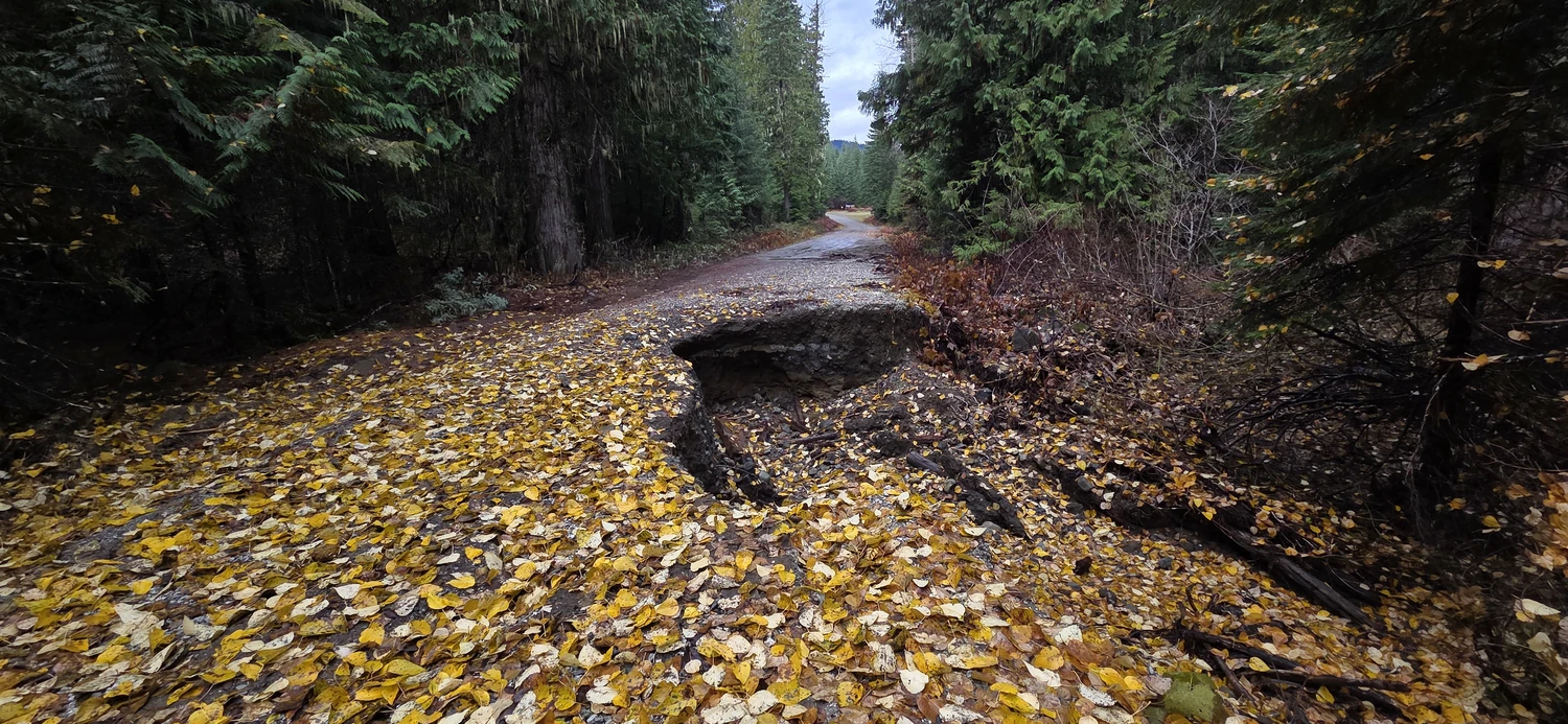
When I went, a massive washout had closed Icicle Creek Road about a quarter mile from the Blackjack Ridge trailhead. There appeared to be room for one or two cars beyond the closure sign, but I chose to respect the sign and park at the Jack Trout Trailhead. For up-to-date information, you can check Icicle Creek Road conditions on the USFS website.
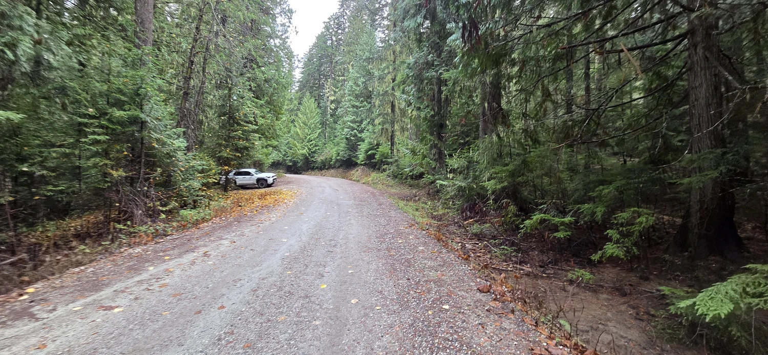
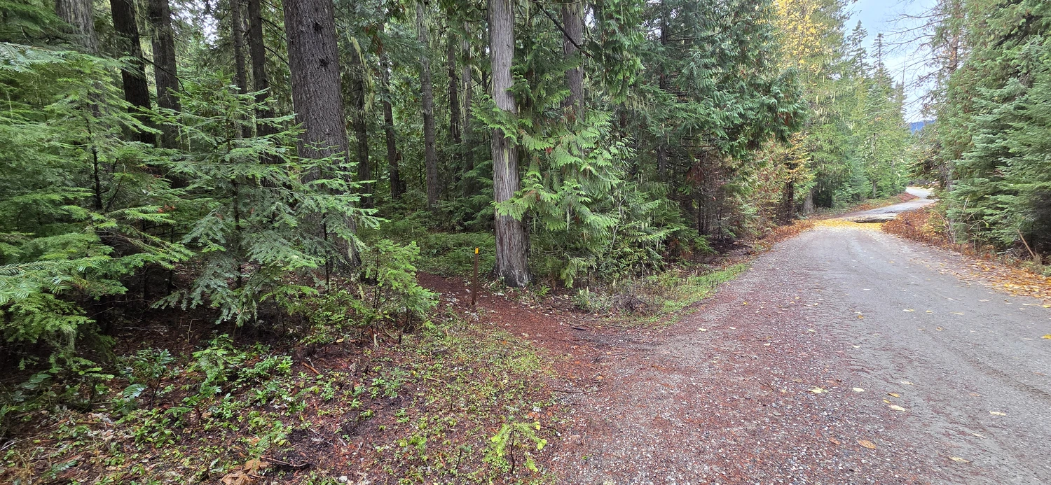
From the parking area, the short Jack Pine Trail leads to the turnoff for the Blackjack Ridge Trail. It’s an enjoyable walk, mostly flat with a few views, and a nice warm-up for the hike ahead. If you park at Jack Trout like I did, keep an eye out for the turnoff. There’s no obvious sign, and I nearly missed it while absentmindedly wandering among the pines.
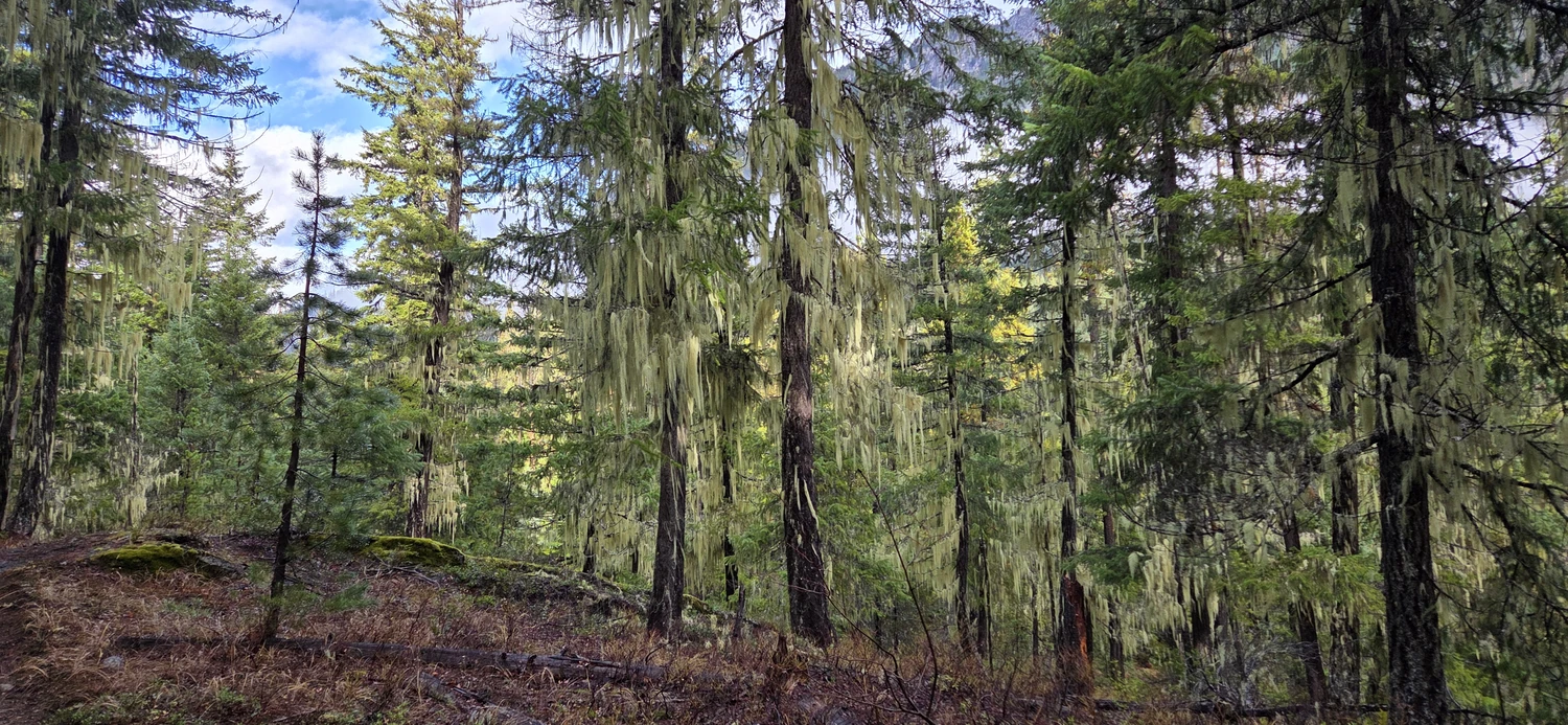
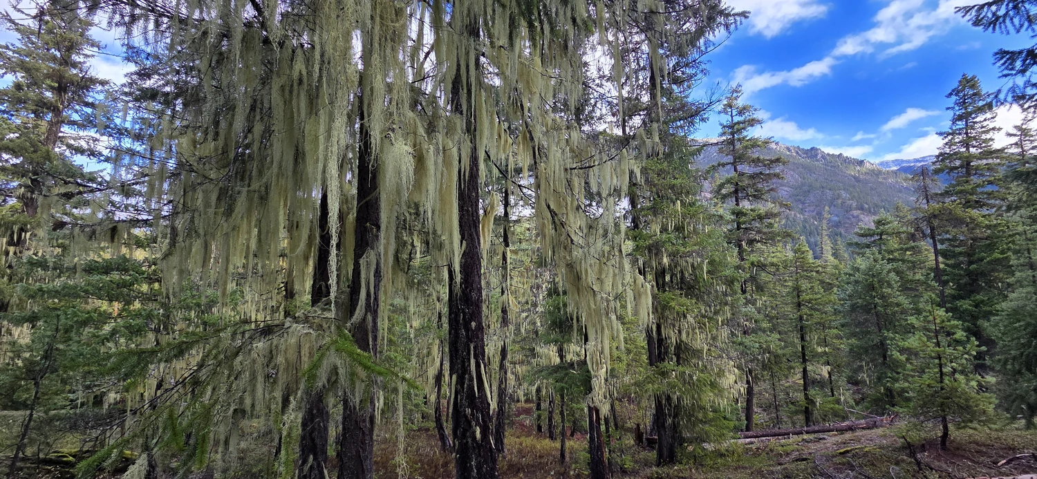
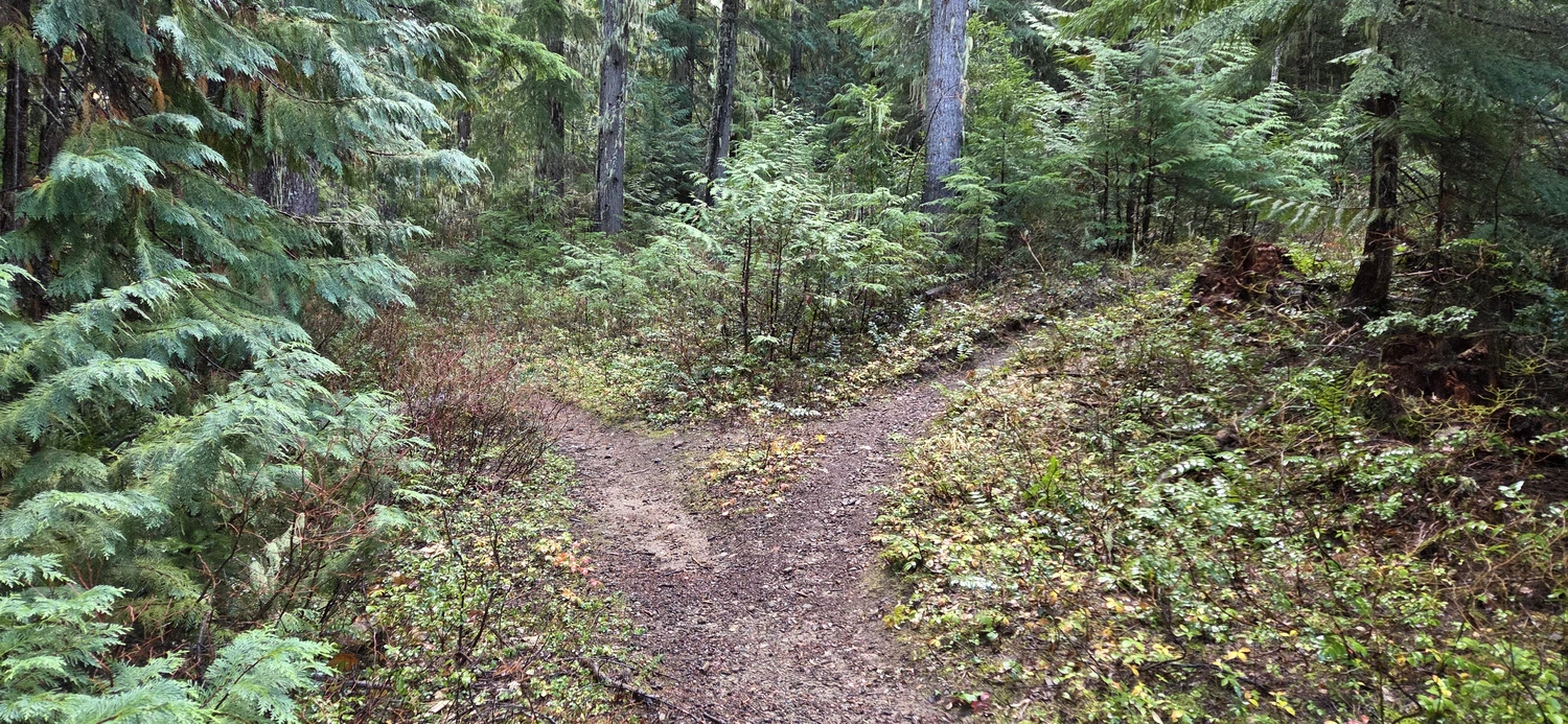
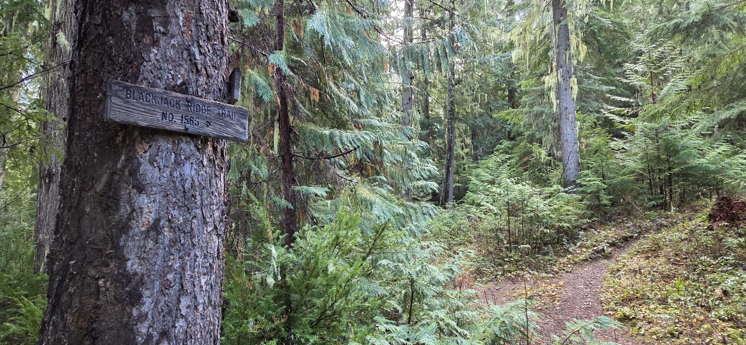
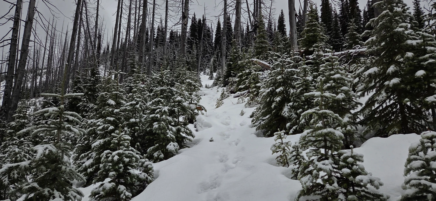
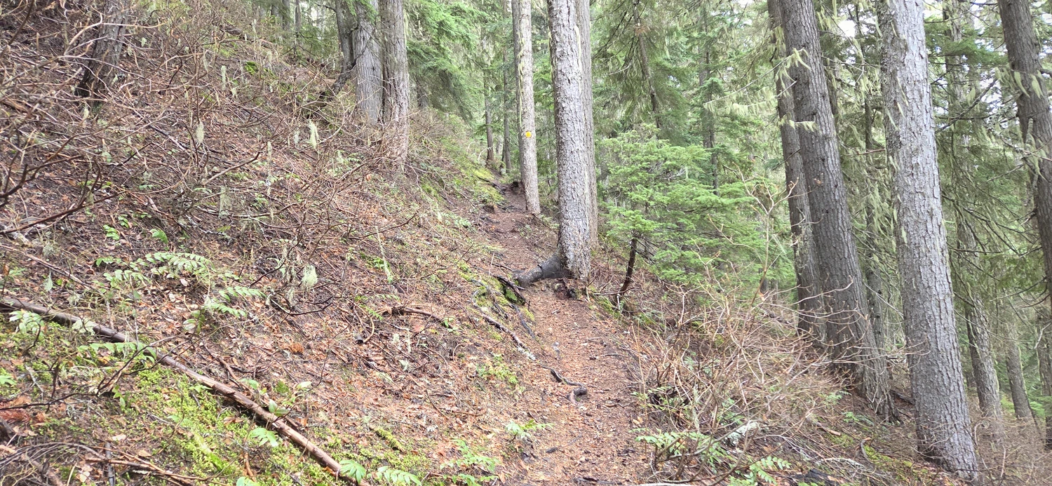
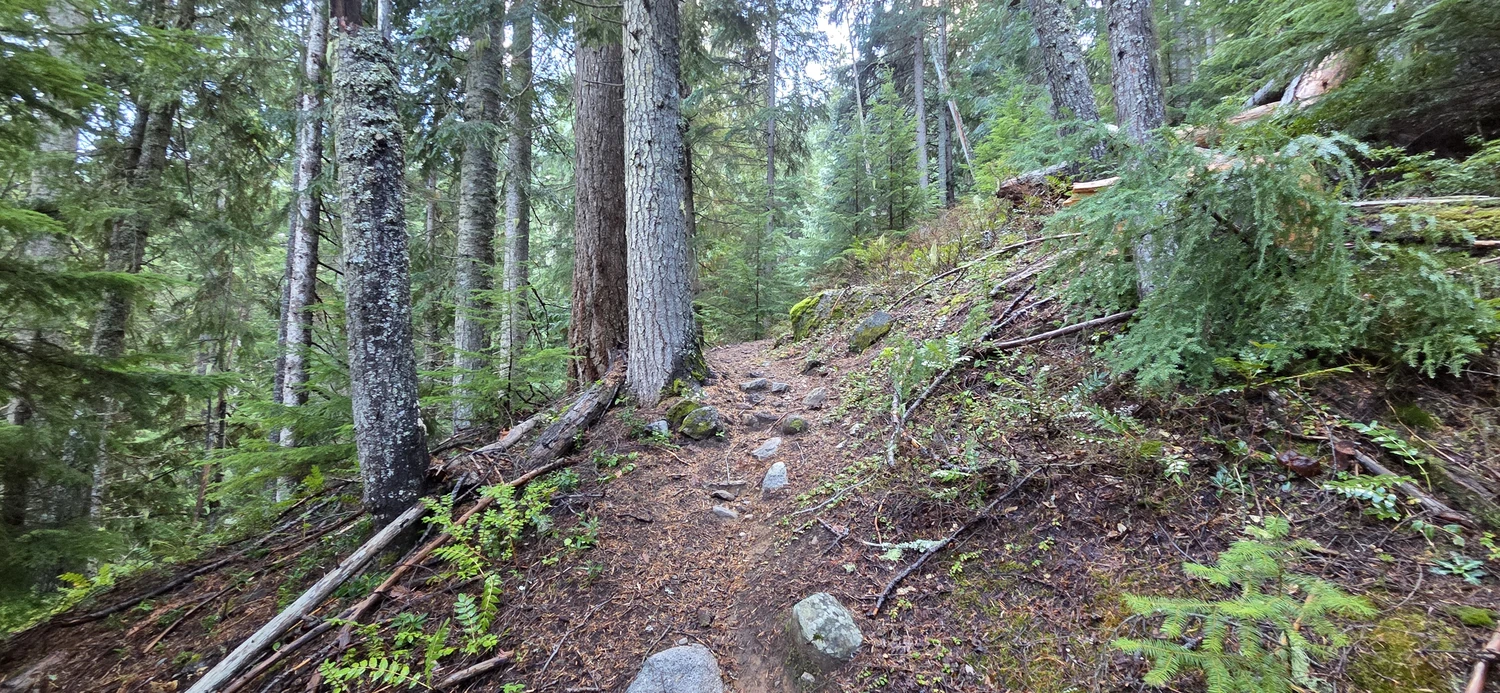
Once on the Blackjack Ridge Trail, it begins an immediately arduous ascent up the west flank of Bootjack Mountain. From here, the trail really doesn’t let up. It just climbs steeply. The trail was well maintained and easy to follow, though it felt more like a climbers’ trail than a hiking trail.
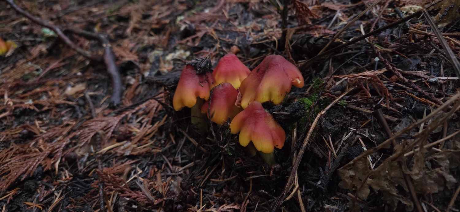
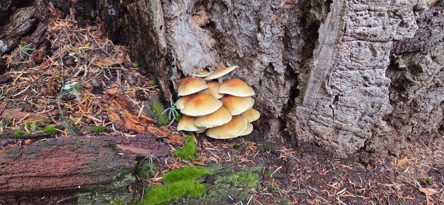
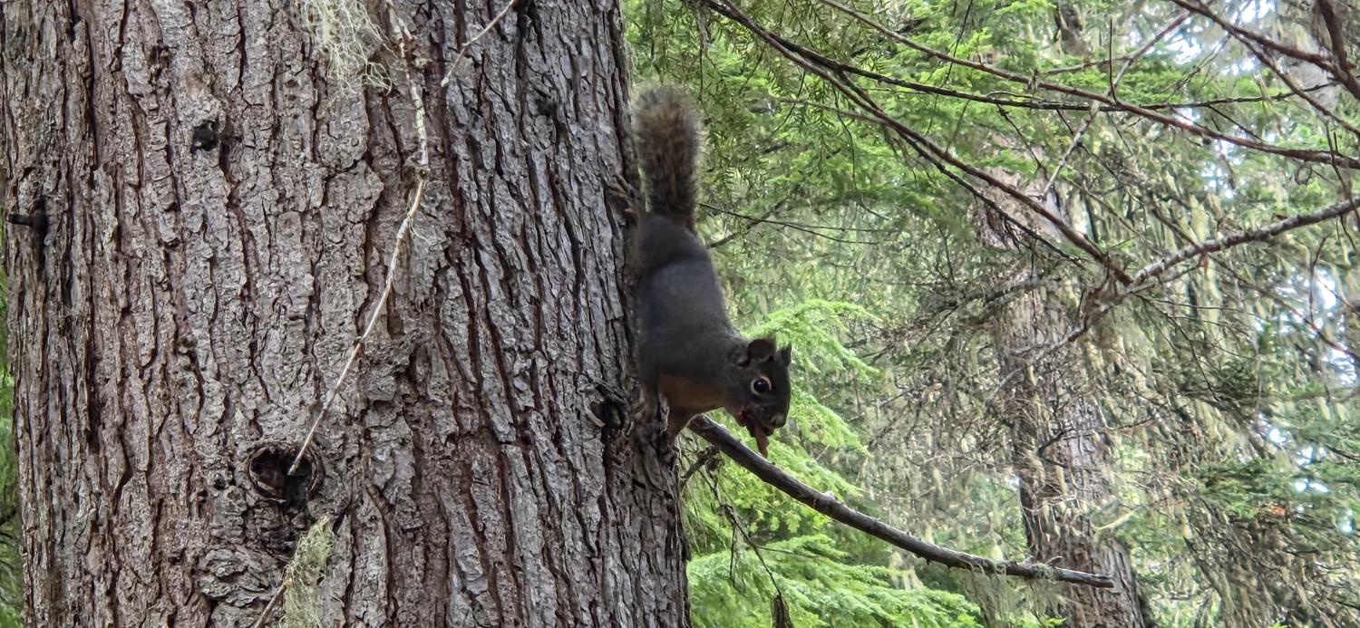
The only reprieve I got from the burning in my legs was gawking at the mushrooms blanketing the forest floor and chatting with a few unruly squirrels that were squawking at me pretty wildly. I’m still not sure if they were being chatty or protective.
At around 6,000 feet (1,830 meters), the Blackjack Ridge Trail finally breaks out of the woods and into the open air. Clouds hung heavy that day, but I could still see some of the surrounding peaks. If you happen to be backpacking out here, there’s a nice flat shelf where it looked like people had camped before. It would make a good spot to watch the sunrise or sunset, though I didn’t see an obvious water source apart from snow.
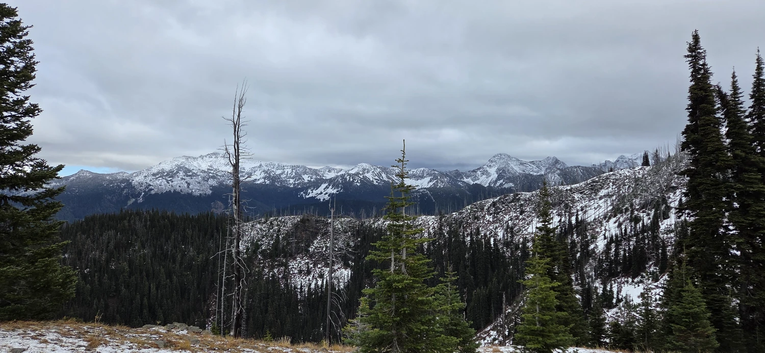
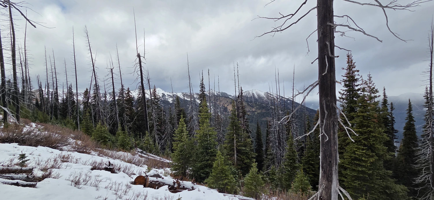
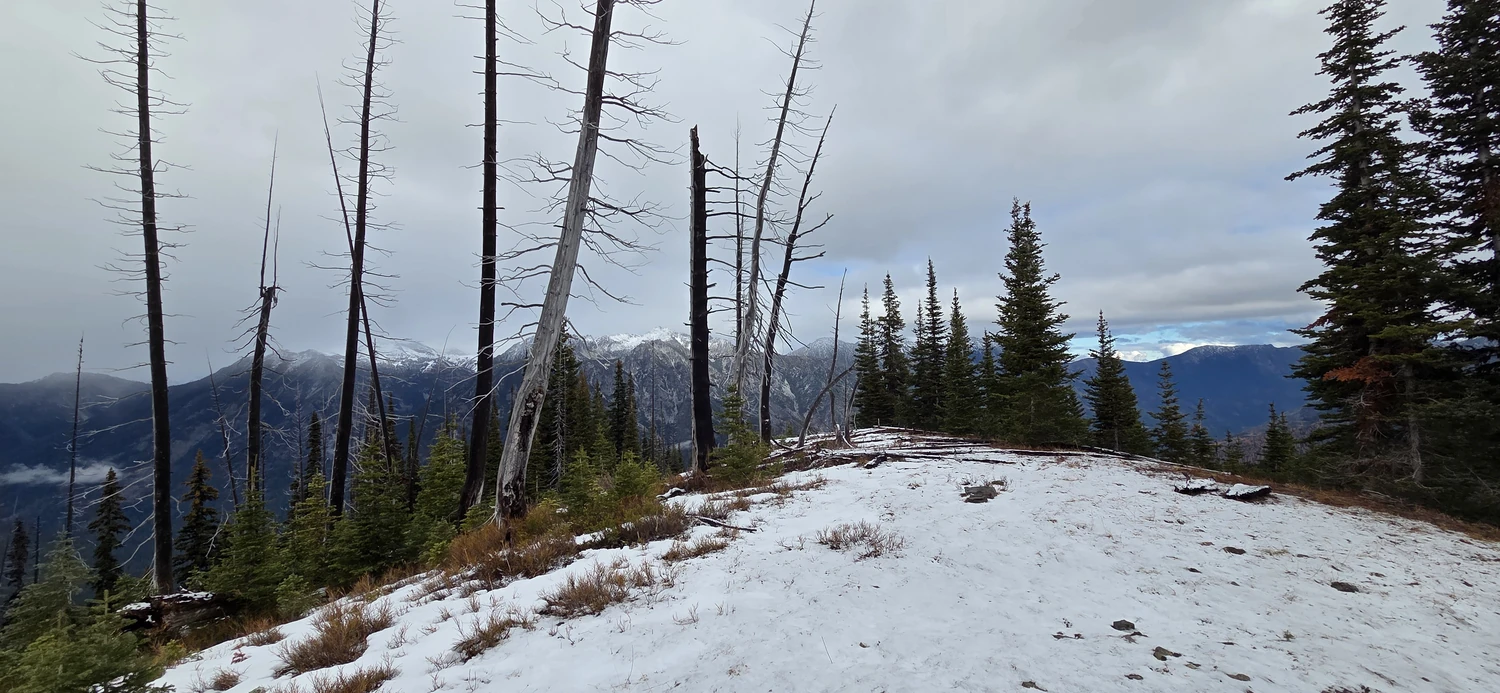
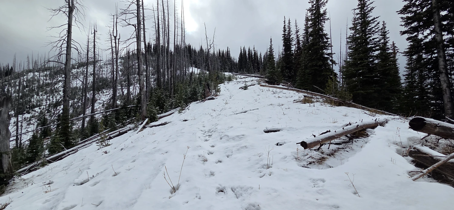
After soaking in the views for a few minutes, I made what would turn out to be a feeble attempt at the summit of Bootjack Mountain. As I pushed farther up the Blackjack Ridge Trail, the snow went from ankle-deep to knee-deep within just a few hundred feet. I didn’t have snowshoes with me, and after a brief stretch of epic postholing, I decided to give up and head back to Leavenworth for a quick meal.