perry creek falls
8/12/2019
Weather Forecast
Tue, 05.12
Wed, 06.12
Thu, 07.12
.Heavy rain along with rising snow levels Monday into Tuesday will lead to rapidly rising rivers across the area. It is likely that many rivers will reach flood stage late Monday night or Tuesday. ...FLOOD WATCH REMAINS IN EFFECT THROUGH LATE WEDNESDAY NIGHT... * WHAT...Flooding caused by excessive rainfall continues to be possible. * WHERE...Portions of northwest and west central Washington, including the following counties, in northwest Washington, Clallam, Grays Harbor, Island, Jefferson, Kitsap, Mason, San Juan, Skagit and Whatcom. In west central Washington, King, Lewis, Pierce, Snohomish and Thurston. * WHEN...Through late Wednesday night. * IMPACTS...Excessive runoff may result in flooding of rivers, creeks, streams, and other low-lying and flood-prone locations. Flooding may occur in poor drainage and urban areas. Low-water crossings may be flooded. Extensive street flooding and flooding of creeks and rivers are possible. * ADDITIONAL DETAILS... - Excessive rainfall Monday and Tuesday with 7 to 10 inches possible over the Olympics, 5 to 9 inches over the Cascades, 3 to 5 inches along the coast and 1.5 to 3 inches over the interior lowlands. Snow levels will rise to around 9000 feet Monday night before dropping Tuesday. - http://www.weather.gov/safety/flood
(NWS Seattle (Northwest Washington))
Gaia Map
Approximate Route Map
The activities depicted on this site are inherently dangerous and can result in serious injury or death. Any action that you take as a result of information obtained from this site or any information provided through Hike2Hike is at your own risk.
Perry Creek falls is as straightforward as any kind of hike along the mountain loop highway can get. It begins in the same parking lot as the trail up Mount Dickerman but doesn’t come close to being as difficult. It is a far more laid back way to experience the Mount Dickerman area.
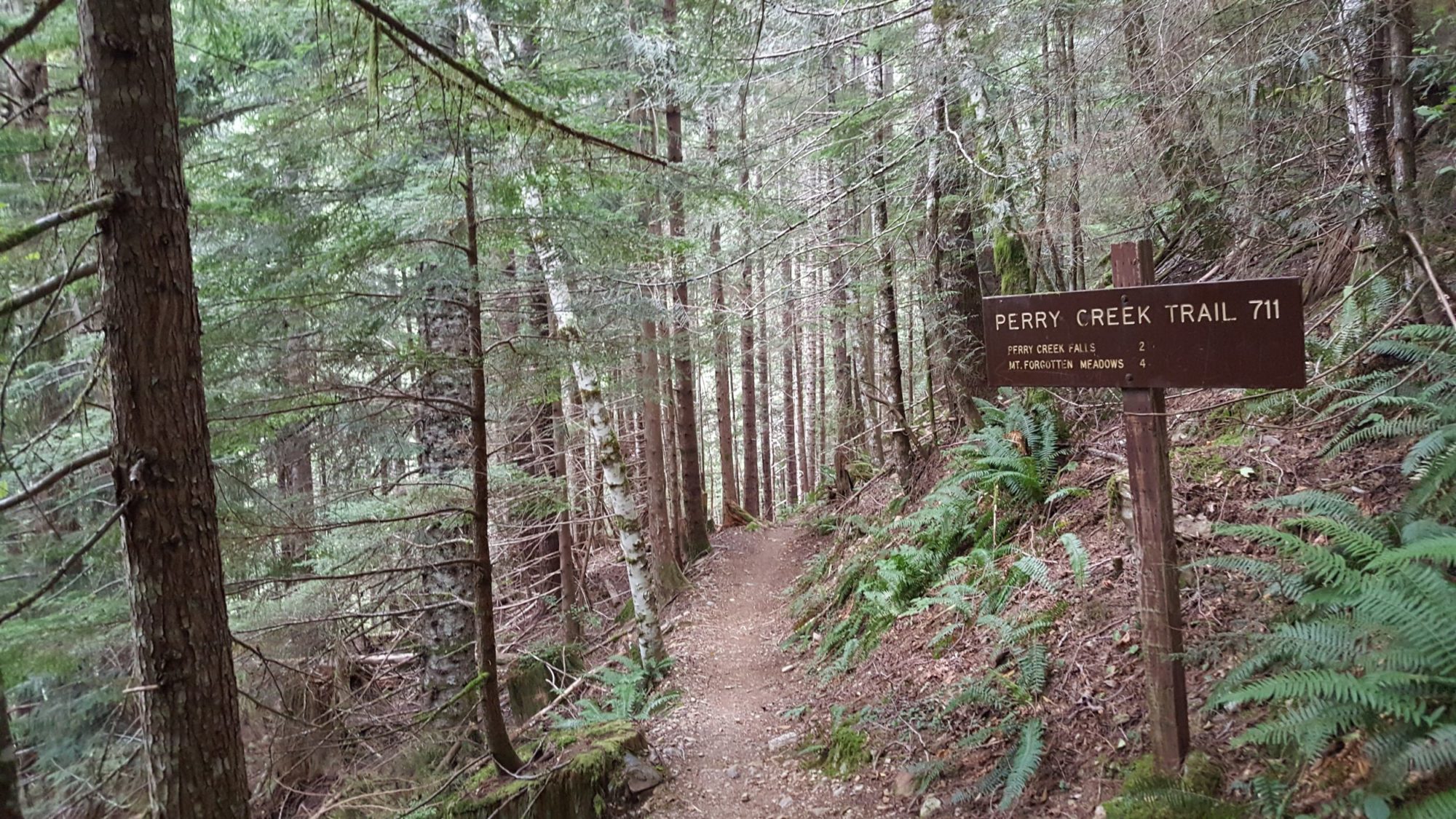
After the first section of walking through some old-growth forest, you will come to an old road. Follow along the old roadbed that leads to the closed down trailhead. When you see the trailhead sign you are at the beginning of Perry Creek Falls Trail.
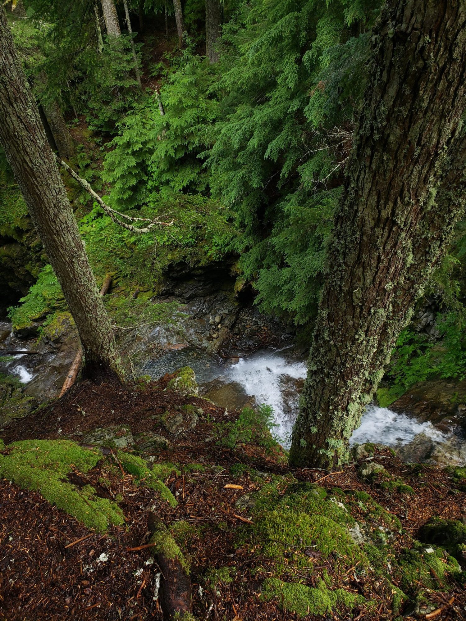
As you hike be sure to turn around and peer back down the valley. That is where most of your views will come for the day.
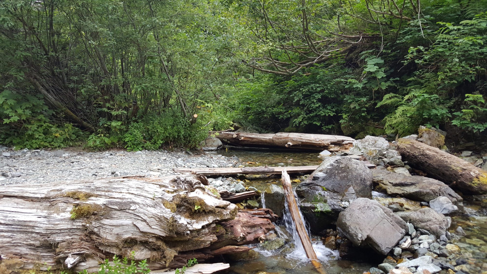
While the valley is steep in places, most of the hike to Perry Creek falls is easy. From the end of the rod it is a meager two miles to where the trail meets up with the falls. If you think you can handle the elevation gain, Perry Creek Falls is a worthy goal.
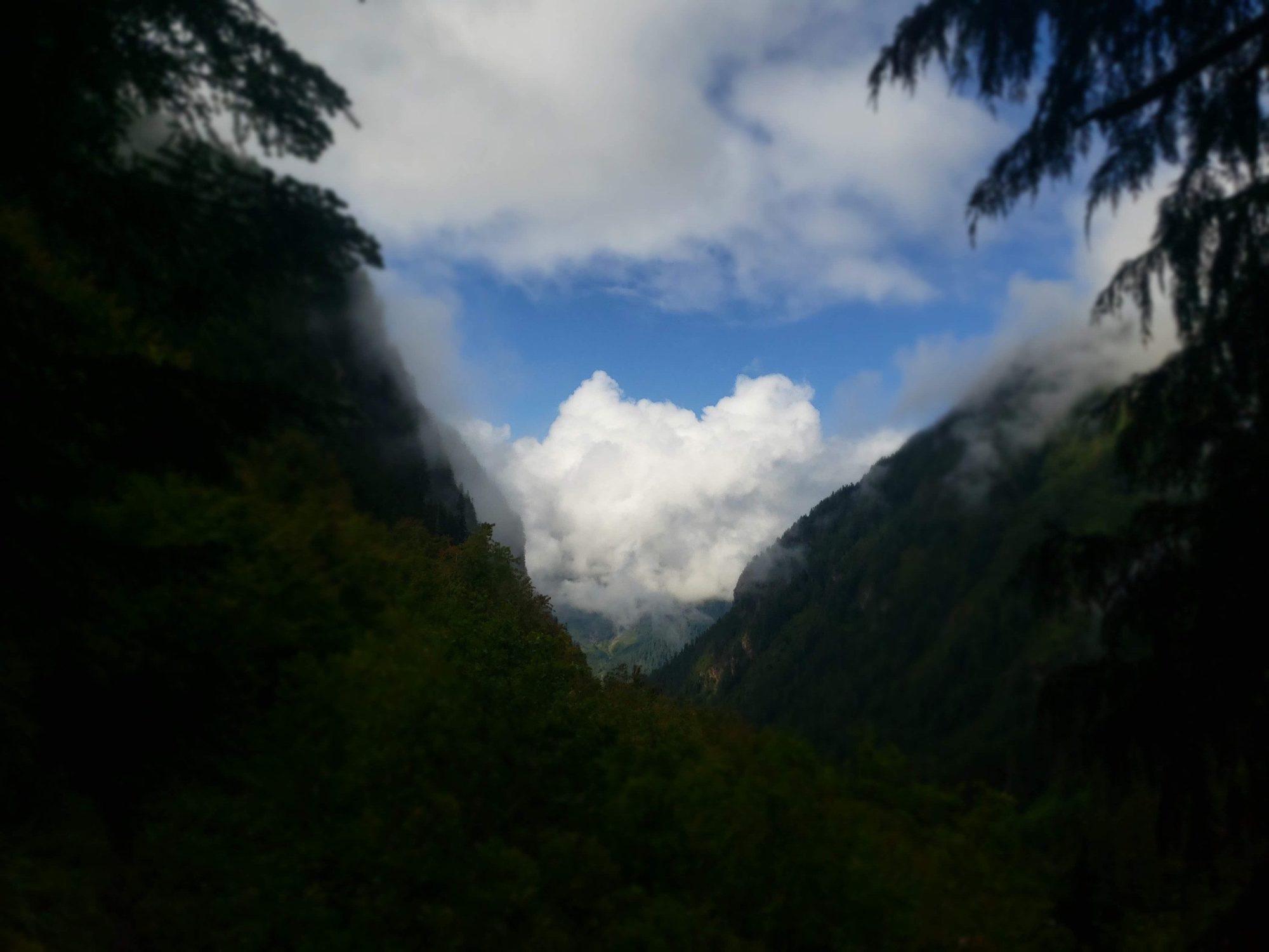
If you are looking for a bit more than a quick day hike you can go past the falls. Follow the trail long enough and it will take you to the trail for Mount Forgotten.