







I had wanted to do the Dirty Box Traverse from Mailbox Peak to Dirty Harry’s Peak for several years. It was one of those routes that kept sitting in the back of my mind, but I never managed to fit it in before moving to New Zealand. Once I was back in Washington, it felt like unfinished business. The route links two familiar North Bend summits by following the rough ridge between them, with Dirtybox Peak sitting in the middle and enough scrambling, route finding, and questionable old rope to keep the day interesting.
I started by heading up Mailbox Peak. I have been up there enough times that the climb felt more like the approach than the main event. I made quick work of the trail and reached the summit without much trouble.
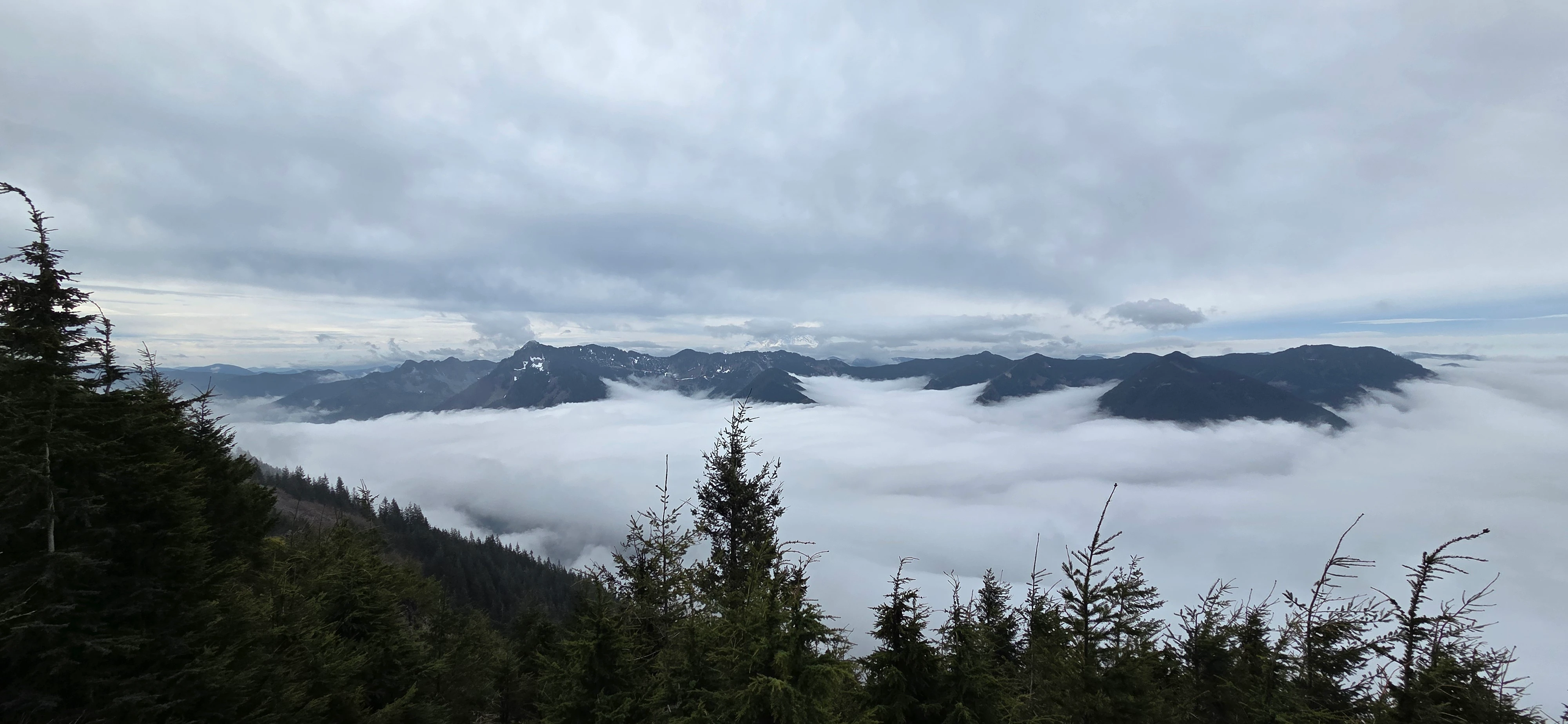
Mailbox was busy, which is hardly surprising. I sat down, ate a snack, and looked toward the ridge I had been thinking about for years. The standard hike to Mailbox Peak was now behind me. From this point on, the day would involve far fewer people and a lot less actual trail.
The first section of the Dirty Box Traverse heads from Mailbox Peak toward Dirtybox Peak along the obvious Ridge. This part was easier than I expected. The scrambling was straightforward, and route finding was minimal for most of the ridge.
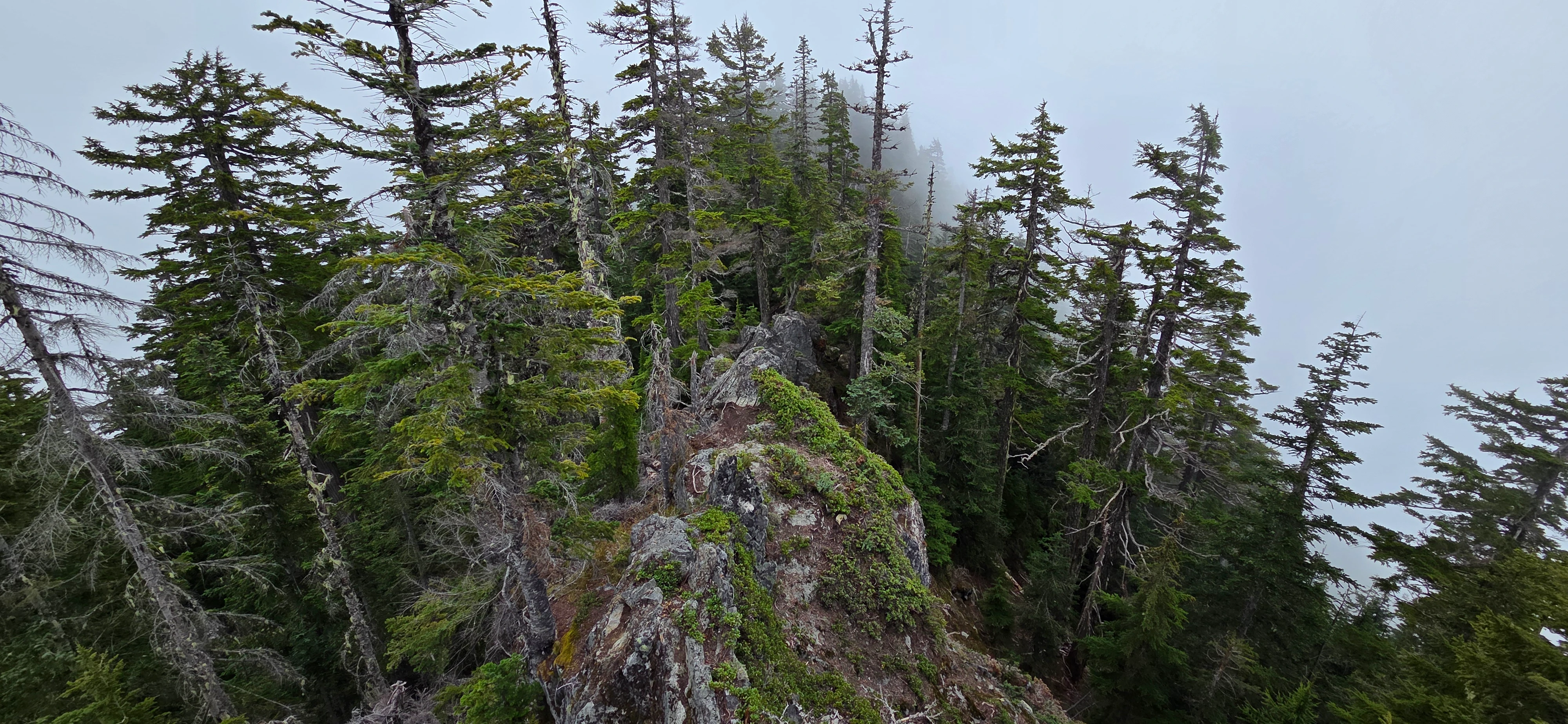
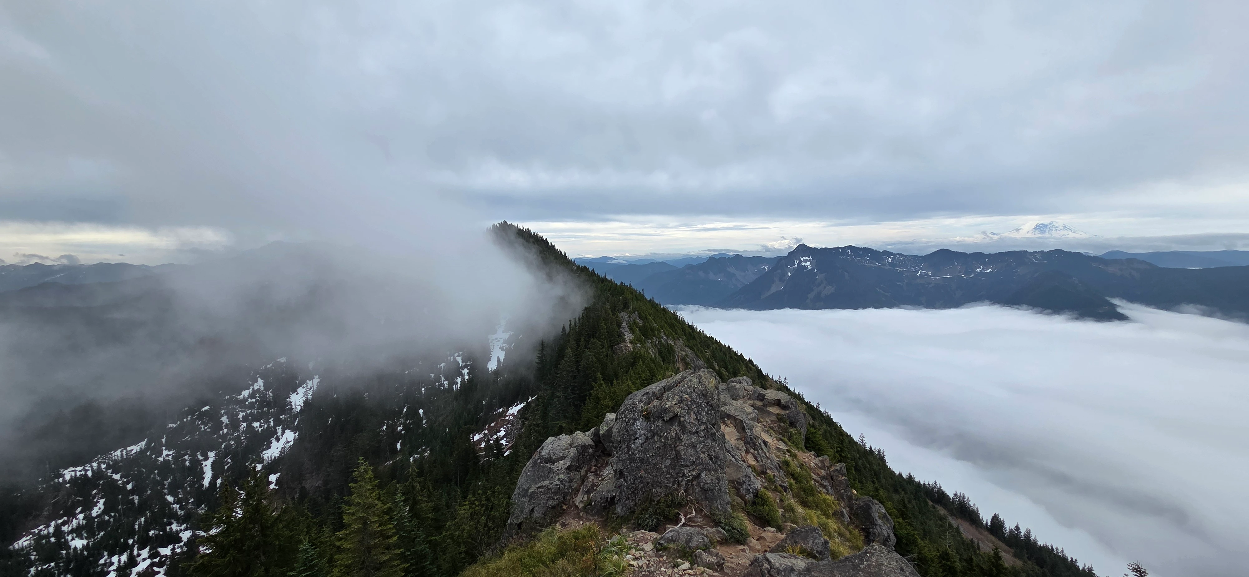
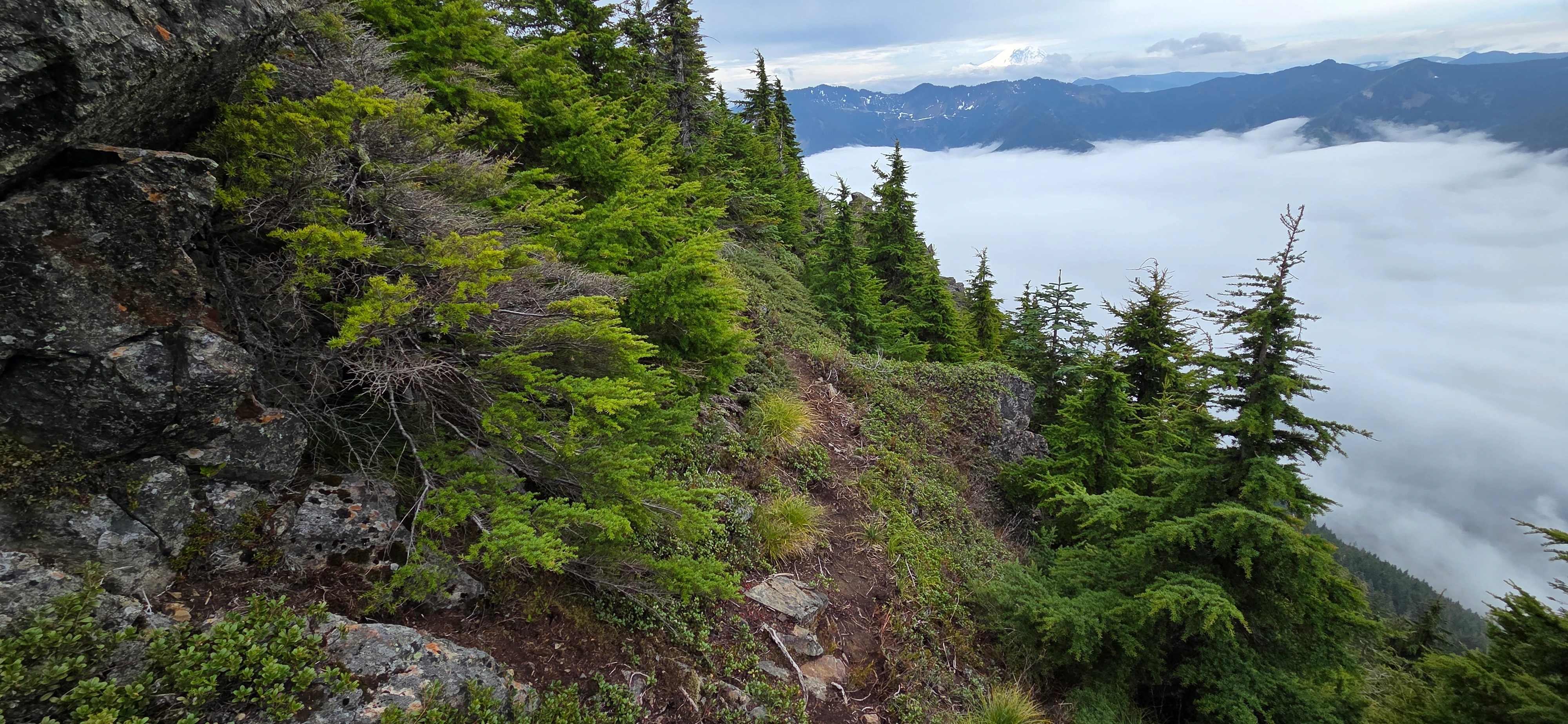
There are a couple of places where the climber’s trail disappears, but the general direction is obvious. Staying close to the ridge crest kept me moving the right way. Whenever the track faded into brush or rocks, it usually appeared again after a short distance.
Dirtybox Peak itself was not especially impressive. The summit has nearly the same view as Mailbox Peak, except the view north is blocked by trees. Its biggest advantage is that there are far fewer people standing around.
At least I had a quieter view of Mount Rainier than the one from Mailbox. That counts for something.
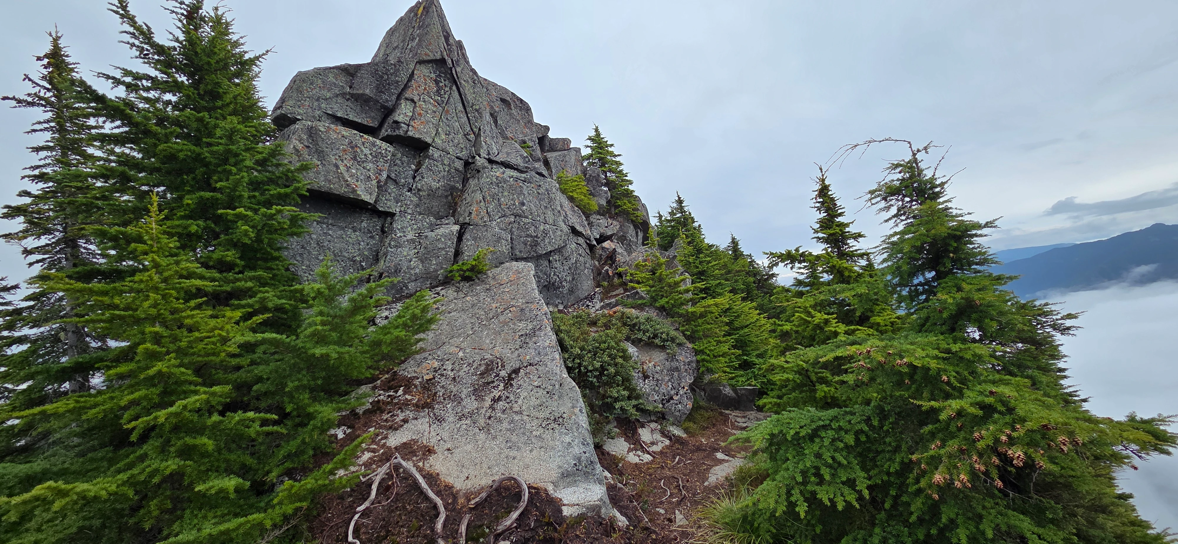
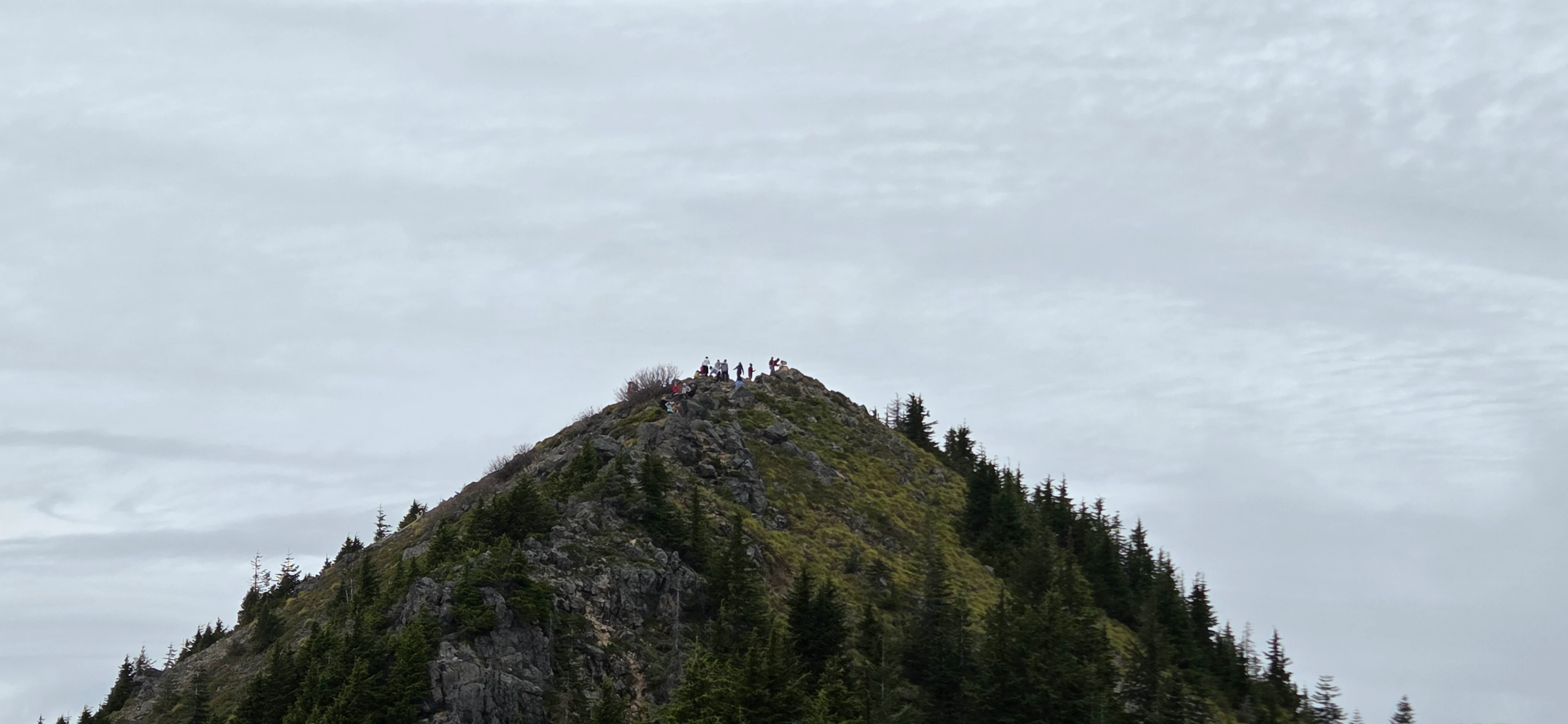
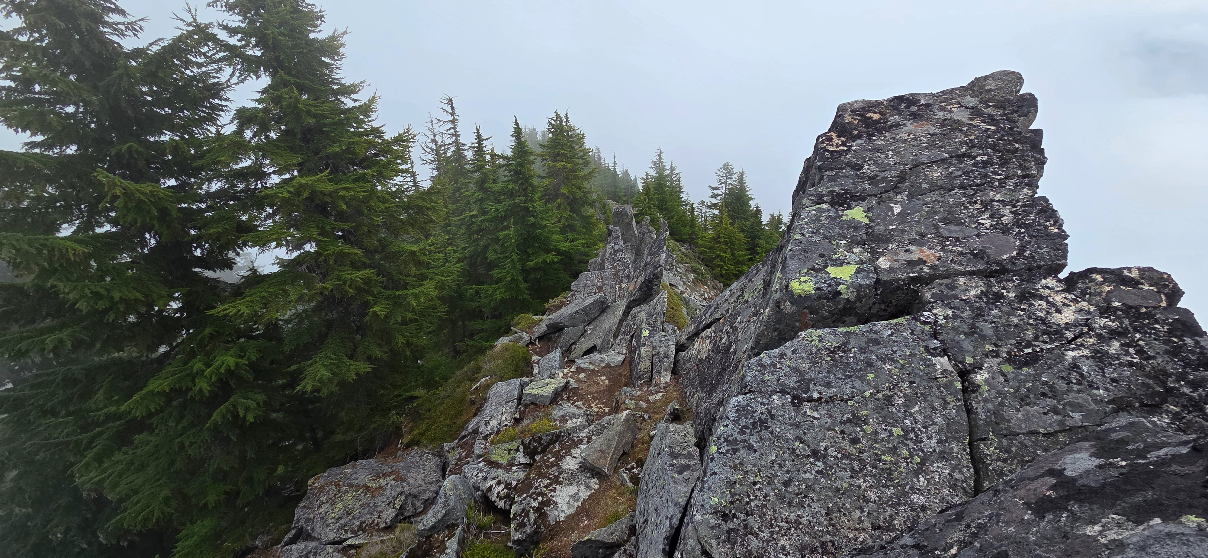
After leaving Dirtybox Peak, the Dirty Box Traverse became noticeably more difficult. The terrain steepened, the climber’s trail grew less consistent, and I had to spend more time deciding where the route actually went.
Around 4,450 feet, or roughly 1,390 meters, along the ridge between Dirtybox and Dirty Harry’s Peak, I reached the most serious scrambling section of the day. The ridge drops about 200 feet through a steep class 4 section that looks unpleasant from above.
At first glance, it seemed like I might need the rope I was carrying. Some groups may want one here, especially if anyone is uncomfortable down climbing steep terrain. I nearly pulled mine out but eventually decided to start down and see how it felt.
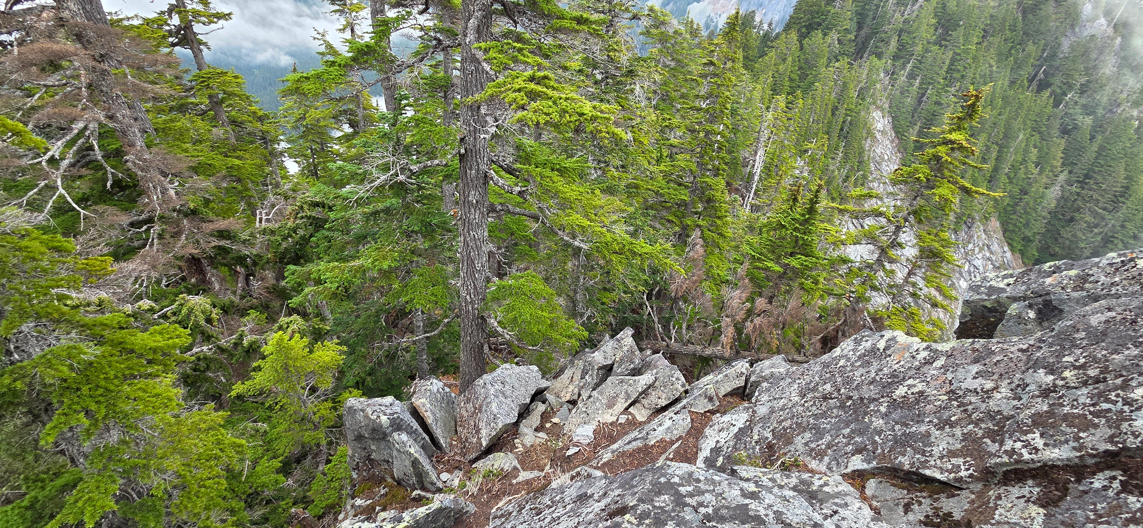
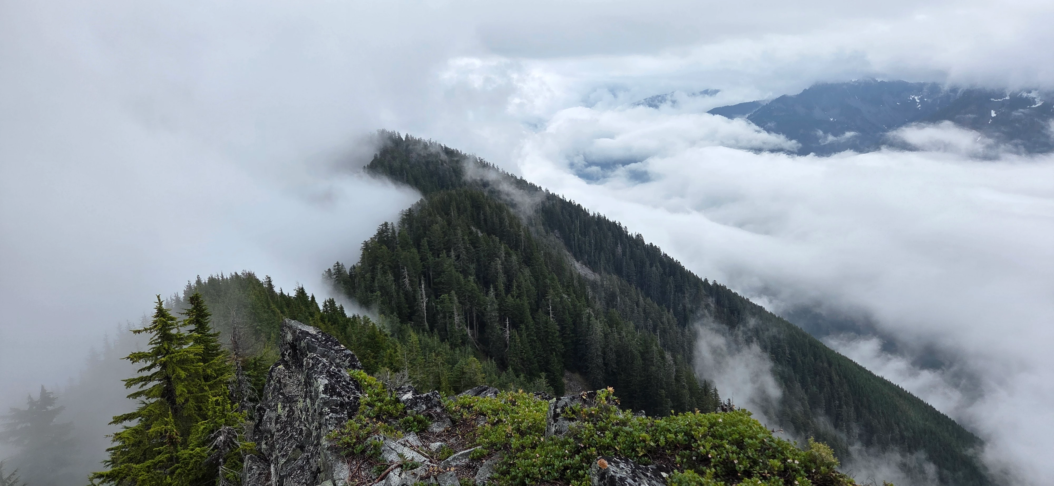
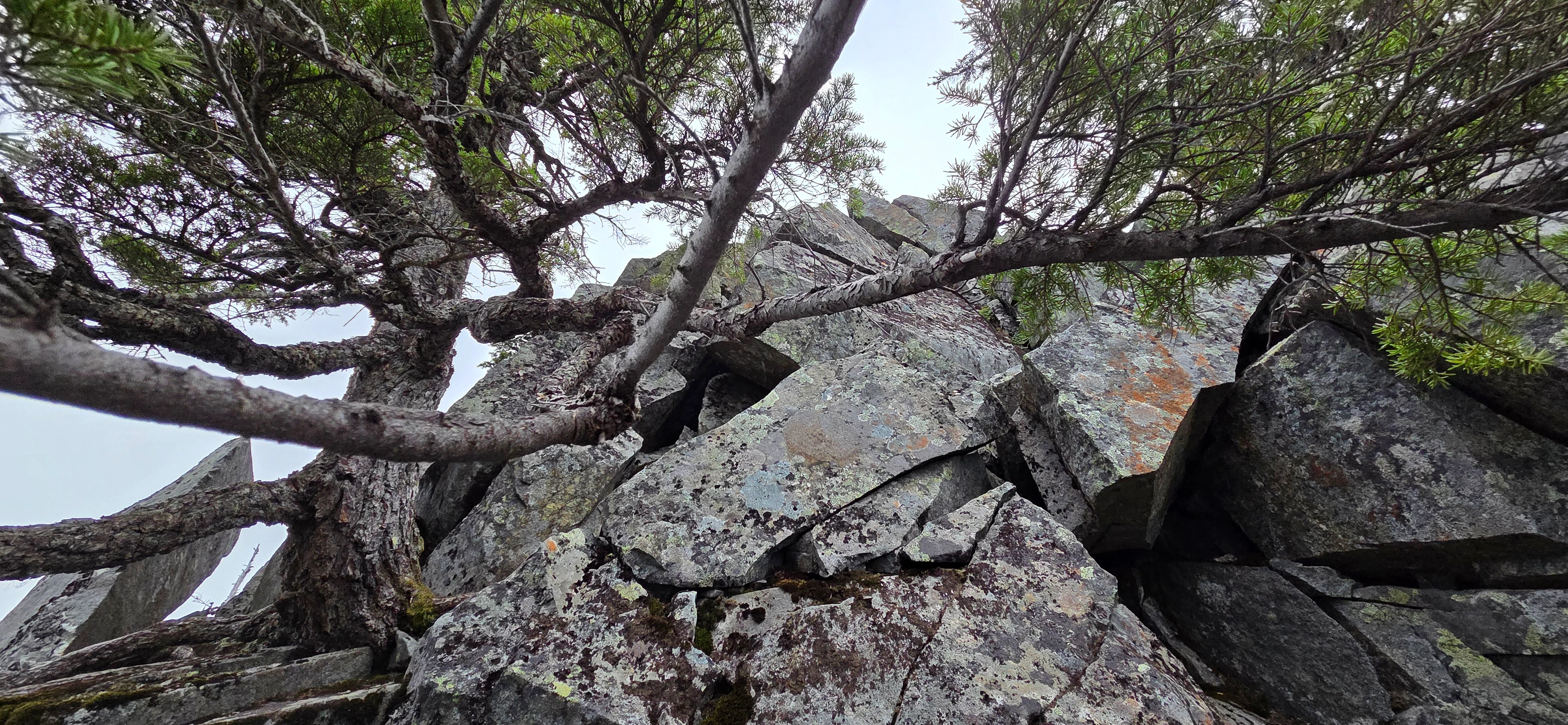
The easiest line stayed directly along the crest of the ridge. Once I committed to it, the moves were more manageable than they had looked from above. It was still exposed enough to demand attention, but I reached the bottom without incident.
Loose or wet rock would make the section considerably worse. I was happy to find that it looked more intimidating than it climbed, but that does not make it casual terrain.
At the bottom of the class 4 section, the route entered the woods again. Looking ahead, it appeared possible to continue directly along the ridge, but the scrambling would have become far more intense.
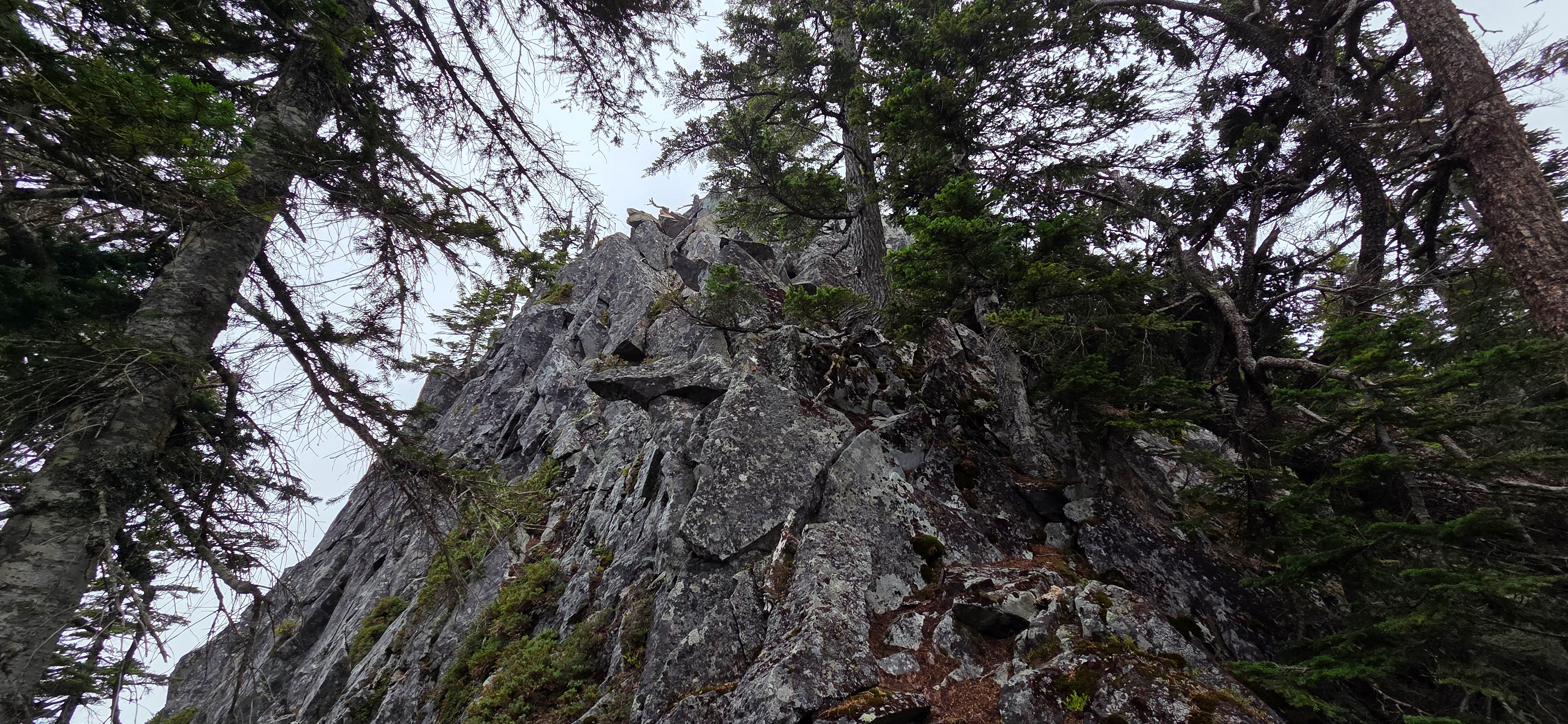
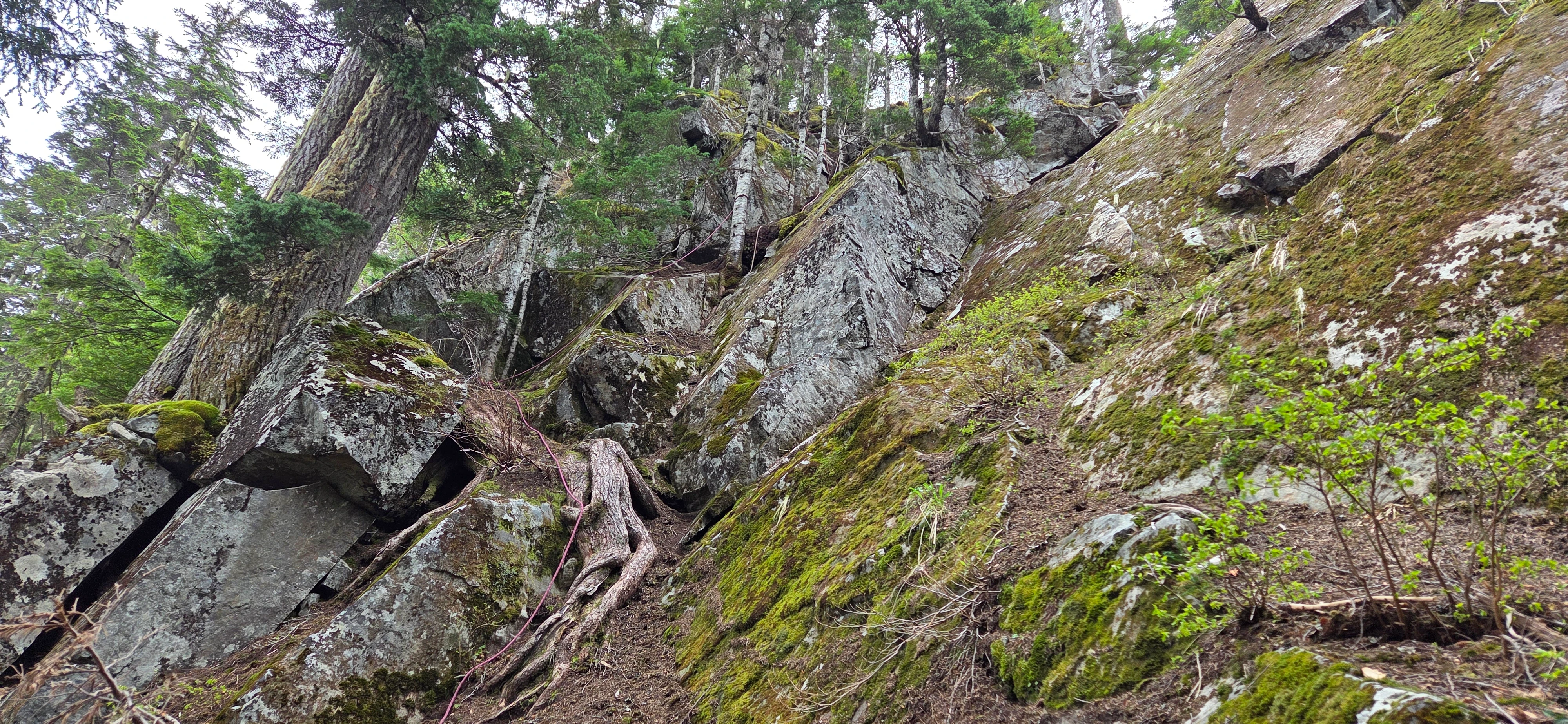
The rope section is steeper than I thought from other people’s photos. It was also a little intimidating to stand below an old rope and wonder how many winters it had been hanging there.
Going up turned into a brief journey of trusting my feet while trying not to think too much about the rope’s age. Fortunately, the climb only took a couple of minutes. I would honestly rather ascend this section than descend it. Climbing upward made it easier to see my holds and keep my weight where I wanted it.
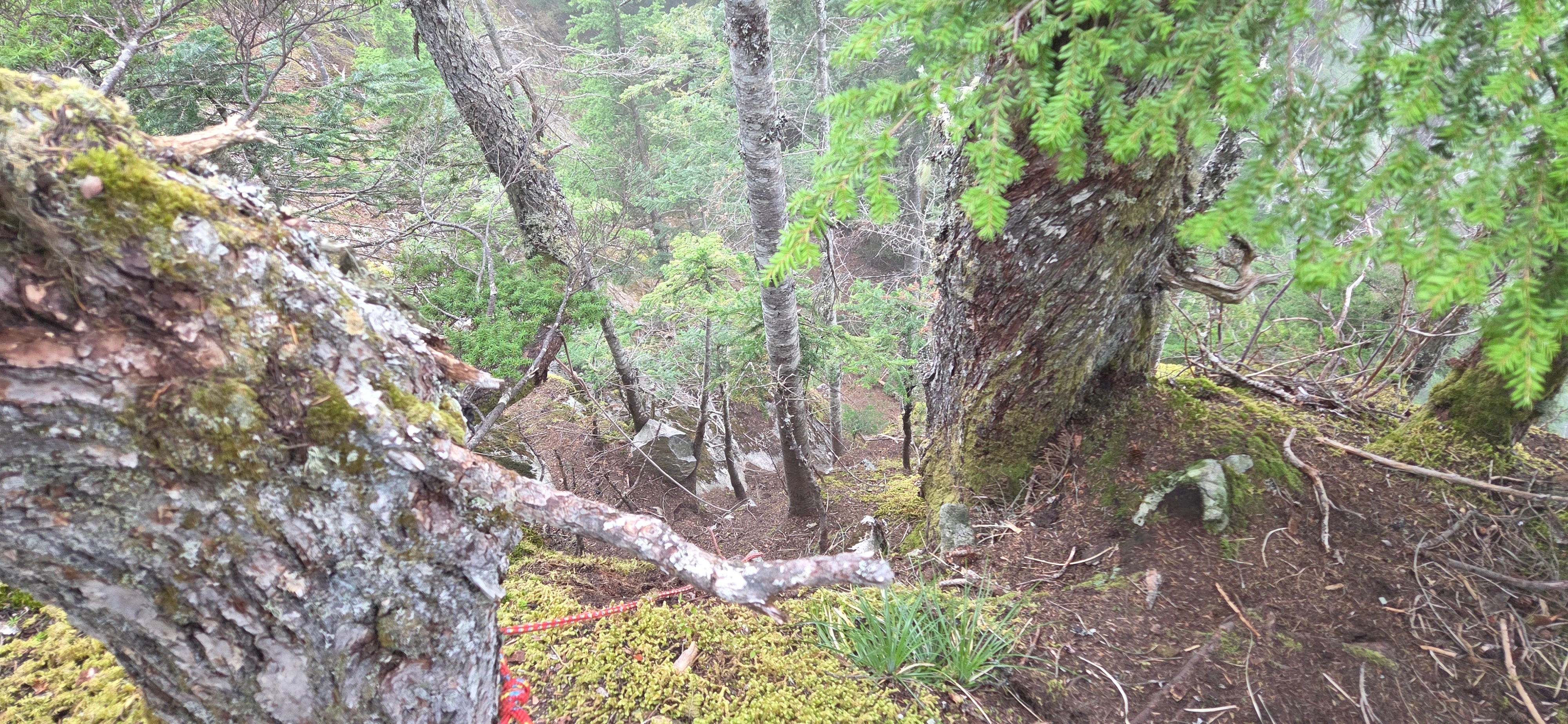
After topping out, the hardest parts of the Dirty Box Traverse were finished. I continued toward Dirty Harry’s Peak and then made quick work of the standard trail down.
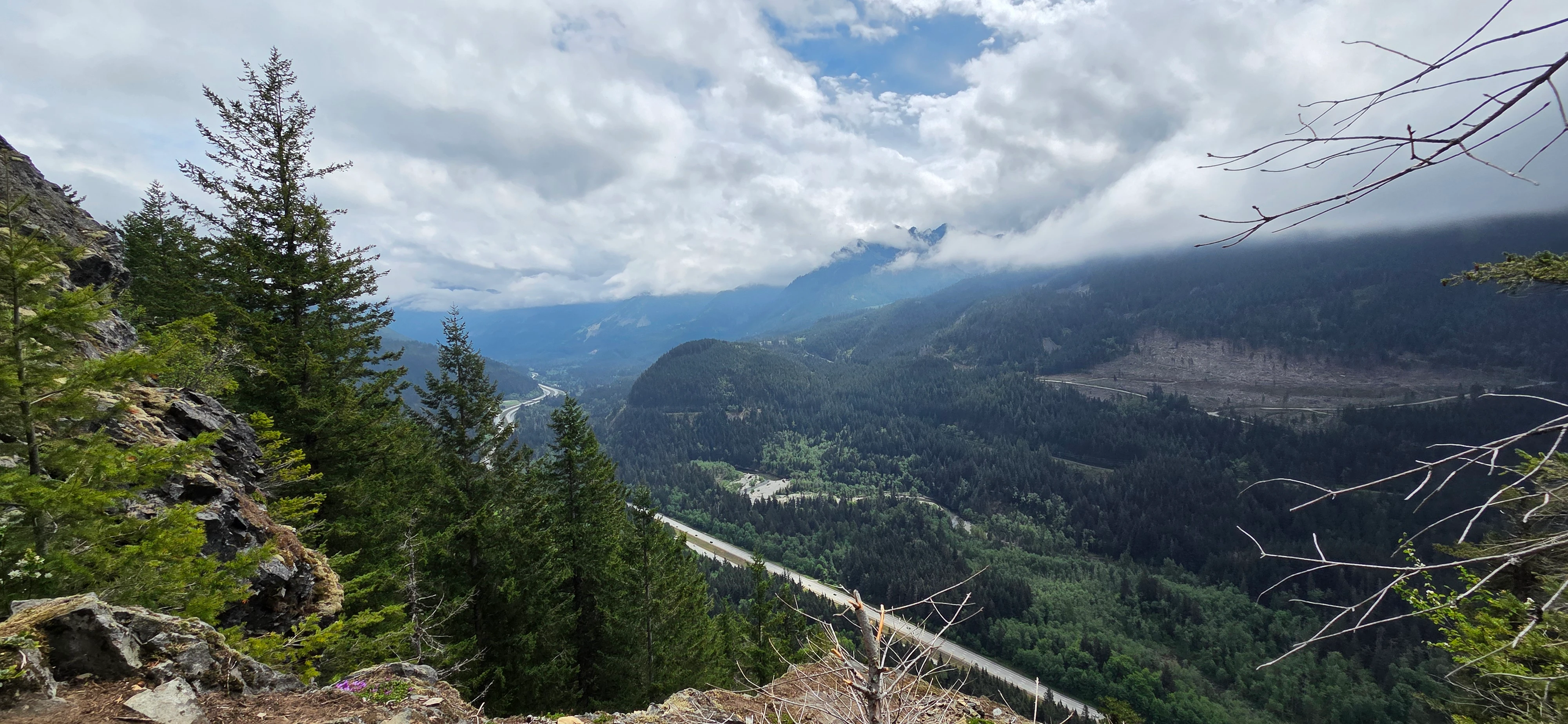
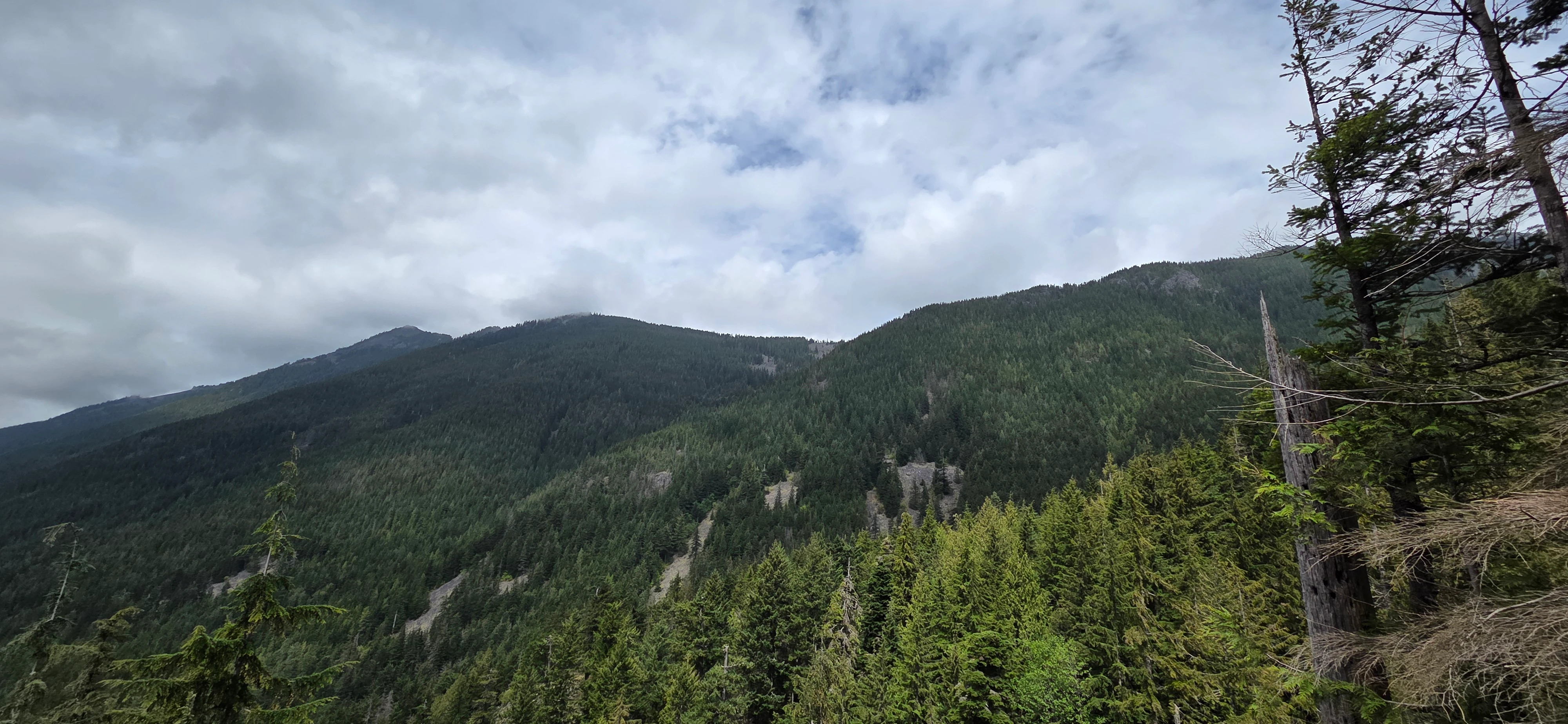
Reaching the road did not mean I was back at the car. The two trail-heads are separated, and my plan was to connect them on foot rather than arranging a shuttle.
I began walking uphill along the road. At one point, a group of firefighters stopped and asked whether I was okay. I told them I was, and after a quick exchange, they continued on their way.
It took me about 30 minutes to reach the gate near the fire training grounds. Just outside the gate to the training grounds, I turned right toward the Mailbox Peak trail head and left the road for the final cross-country section.
This part of the route is off trail and very bushy in spots, but travel was not especially difficult. The brush slowed me down without becoming a full fight. Compared with some Washington bushwhacks, it was fairly tame.
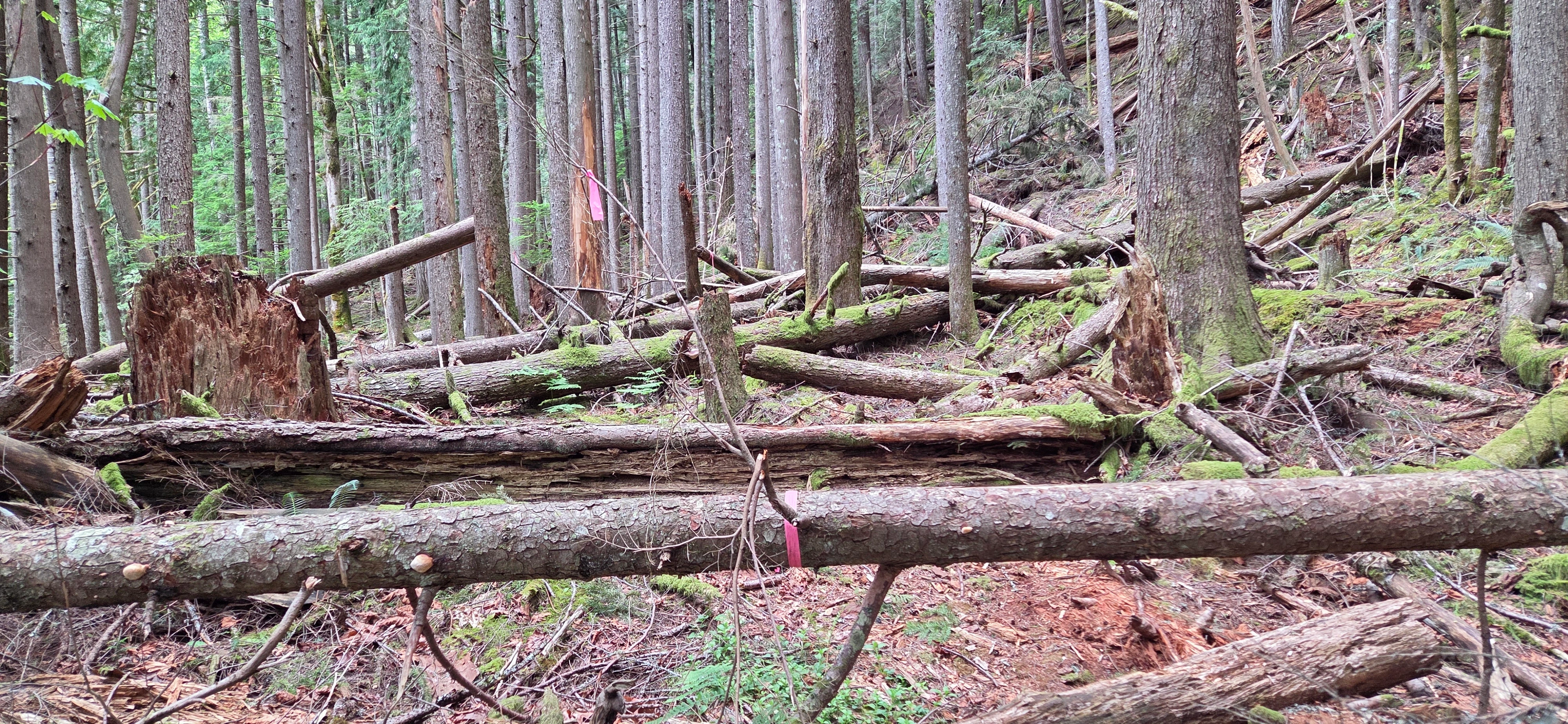
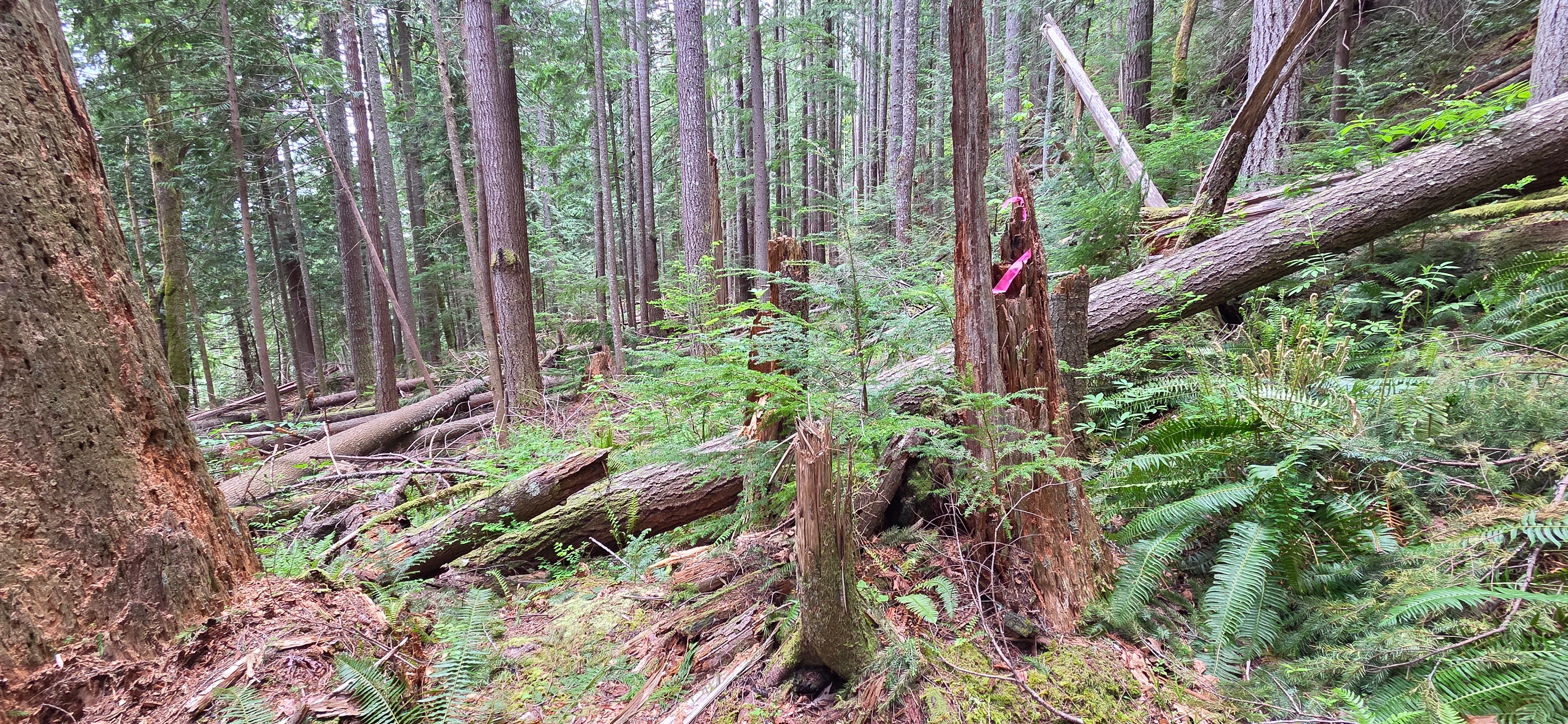
There was one swampy section where I stepped into water. That was enough to make me think this final connection would be much less enjoyable after heavy rain. Wet brush, saturated ground, and deeper mud could turn a manageable return into a miserable one.
As I worked back toward the old Mailbox Peak trail, I started seeing pink flagging. It was clear evidence that I was on the intended line, which was reassuring.
Once I reached the old trail, the route became straightforward again. From what I remember, it took around an hour to get from the start of the road, through the bushy connection, and back to the parking area.