






I really wasn’t sure what to go out and do for the weekend. No matter where i looked it was 2 hours to relative sun with little of interest, at least to me, in those areas. Saturday looked bleak with rain until at least mid-day, but, I knew if I didn't make an effort to get close to the mountains I would miss whatever weather window might appear. So, I settled on heading for Tinkham Road Tinkham Road where there is plenty of disperesed camping and a few trailheads in the area Including McClellan Butte.
After laying in my car bed until around noon, the rain finally started to subside. Since there is cell service all along the road, I was able to confirm that the weather was clearing and decided to go for McClellan butte while I had just about 6 hours of daylight to complete the route.
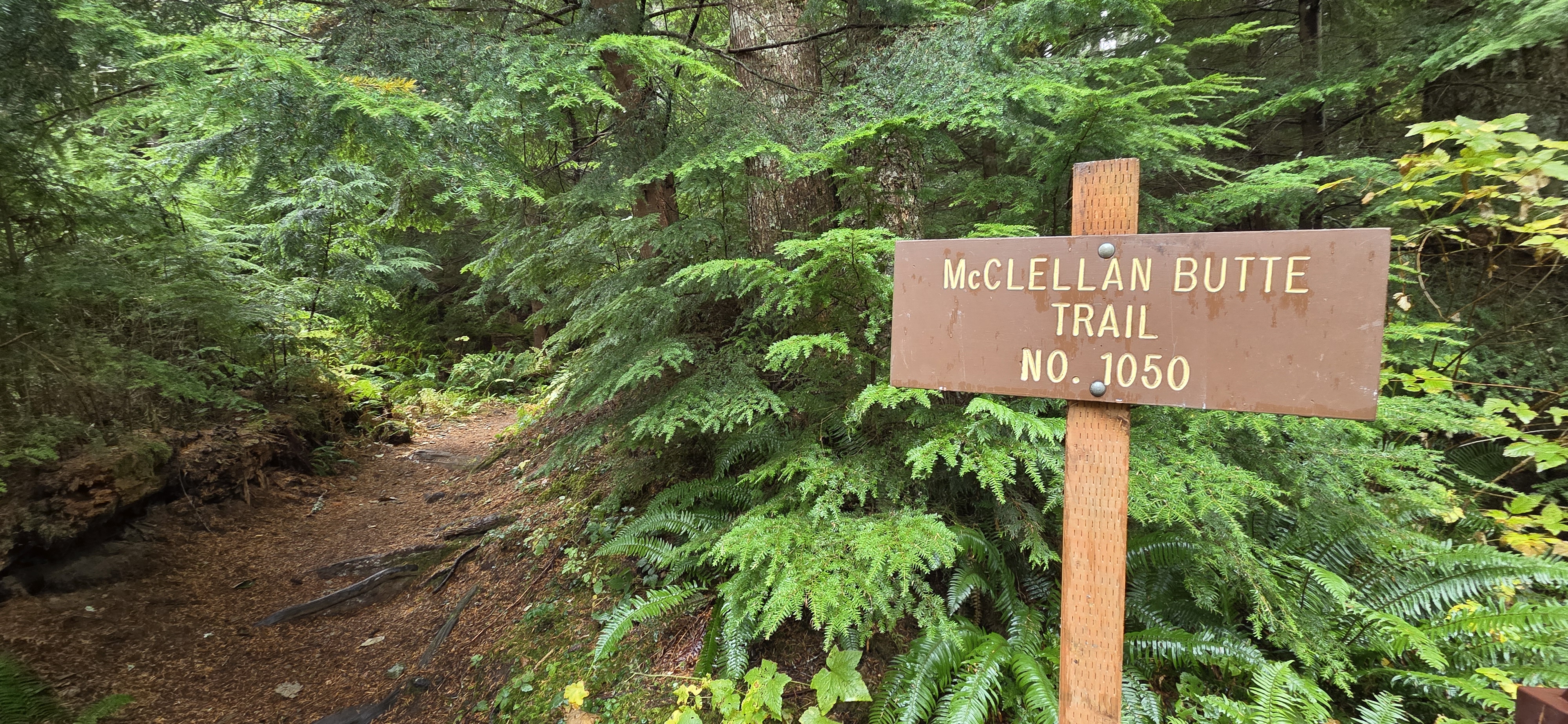
The first couple of sections of the McClellan Butte trail are short connector trails that work their way between what I assume are logging roads as they climb toward the upper trailhead. At this second trailhead, there is a bathroom and a couple of tent sites, but very little in the way of parking. So, if it is a sunny weekend, I would recommend sticking with the lower trailhead that is just off Tinkham Road.
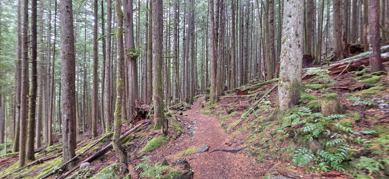
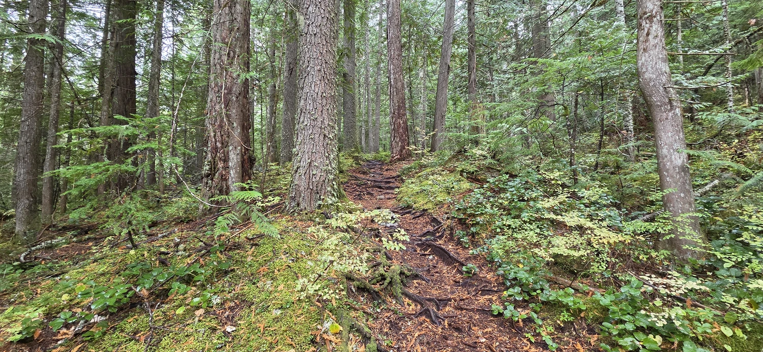
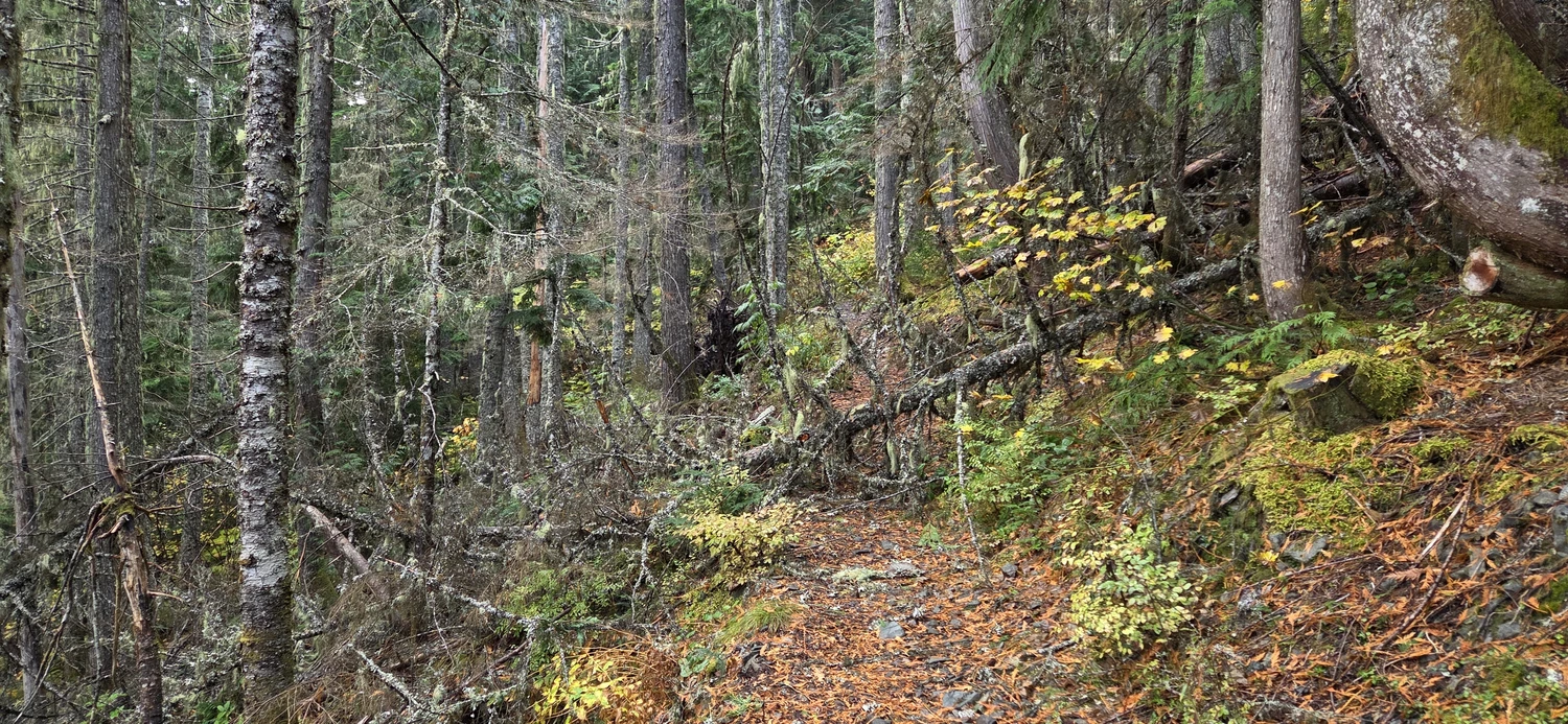
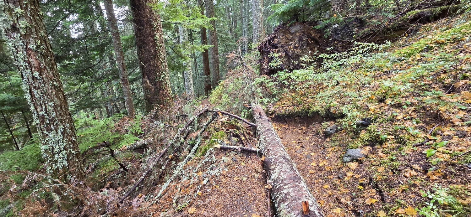
After getting past the logging roads, the trail up McClellan Butte begins a rapid ascent, though it is well graded with switchbacks that help ease the leg strain. On this occasion, there were a few blowdowns starting at around 2 miles, all of which I was able to step over with ease. Only one required a single step onto the downed log.
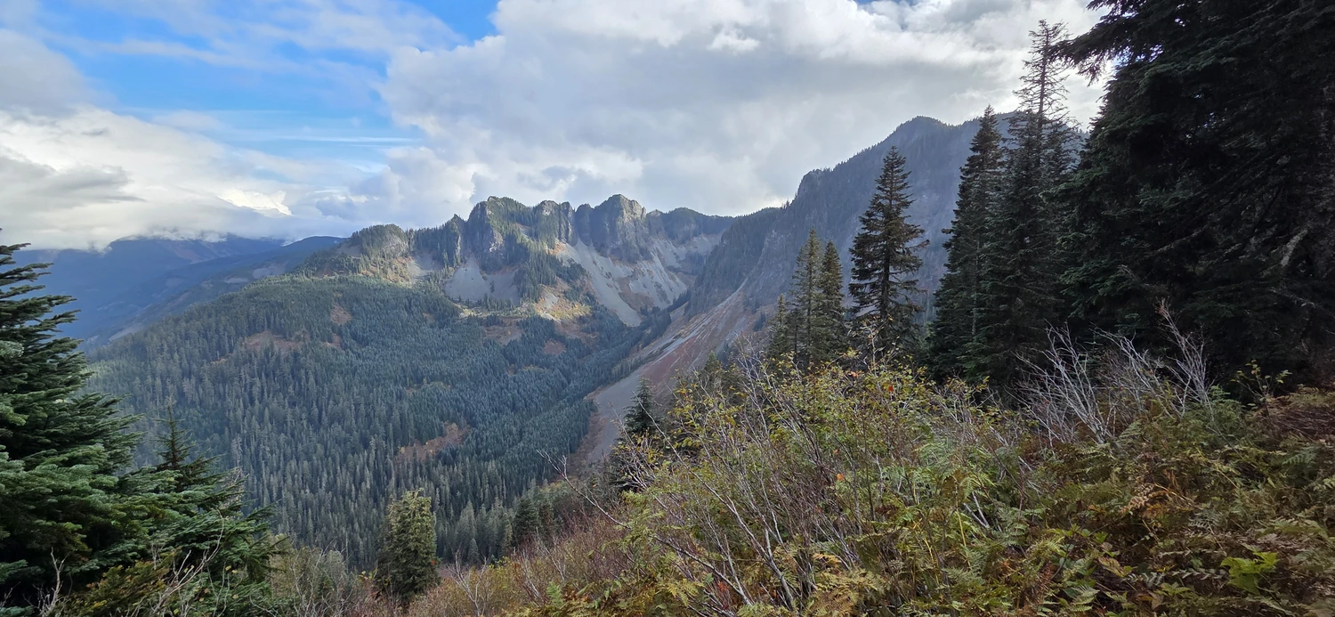
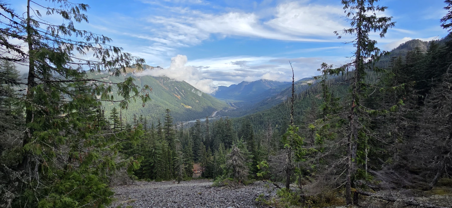
At around mile 3 on the McClellan Butte trail, the views begin to open up. At this point, I was glad I had spent the morning waiting out the rain in my vehicle. Clouds were beginning to break, and there were views up the I-90 corridor as well as of the surrounding peaks. The most prominent peaks I had to check my map for a quick reference, as I don’t think I have ever paid them much attention, and their ridgelines were quite captivating. Certainly going to log those for a later ascent. The Duchess of Kent and Duke of Kent looked like particularly interesting scrambles to research.
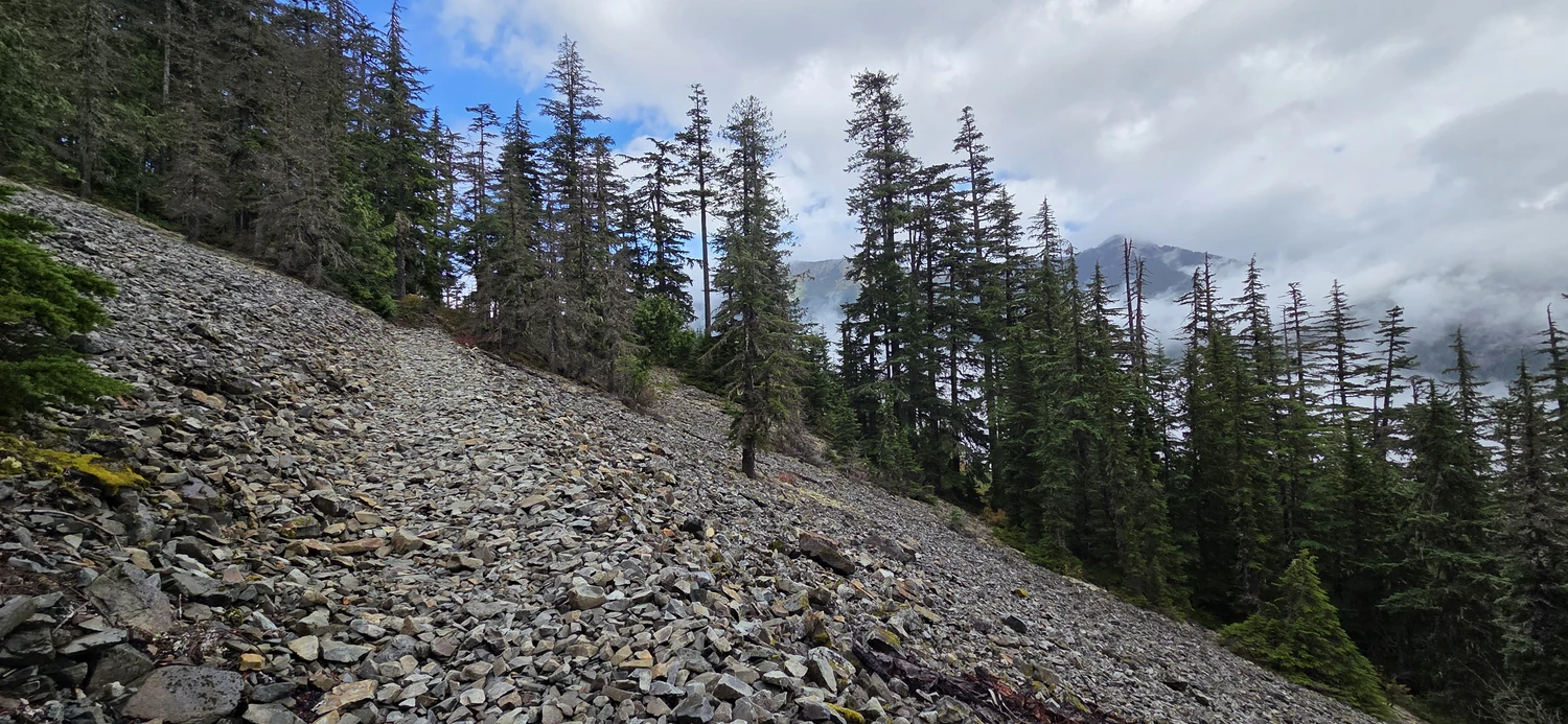
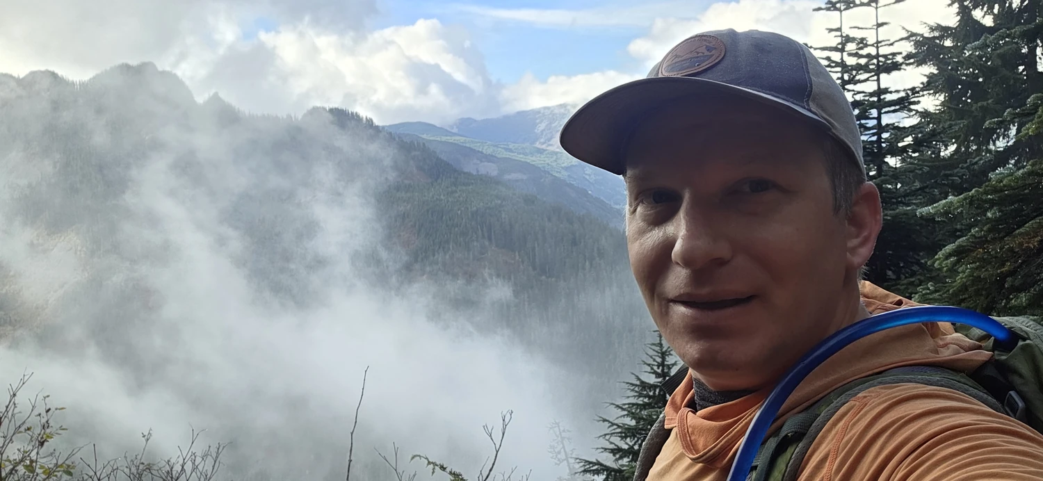
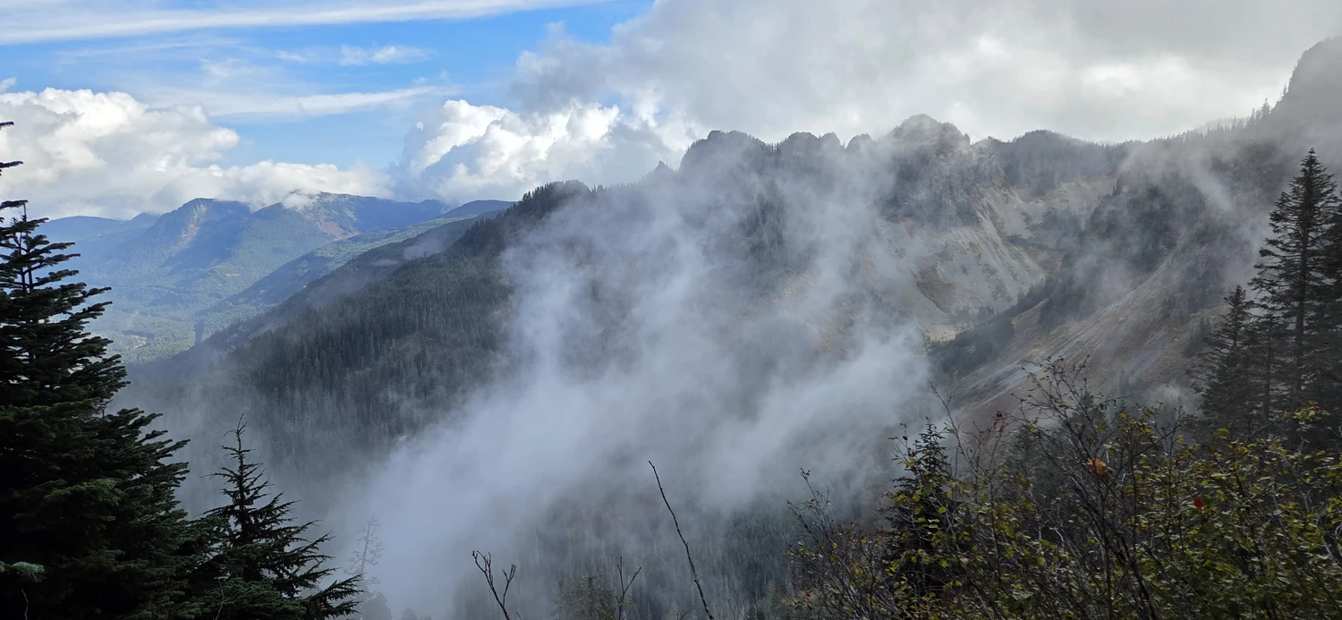
The trail up McClellan Butte really does not let up as it ascends. Until reaching around 4,750 feet (1,450 m), it is a slog of switchbacks, peekaboo views, and at least one small waterfall. I found the waning colors of fall to be my favorite respite from the leg burn, but even with those, it was clear that the colors would soon be gone as winter settled in across the Cascades.
Once the trail crests the hill, there is a short walk along a fairly gentle, rolling trail before reaching the infamous scramble section to the summit of McClellan Butte.
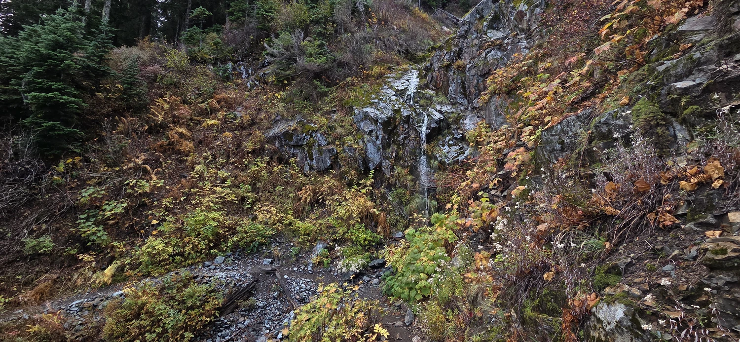
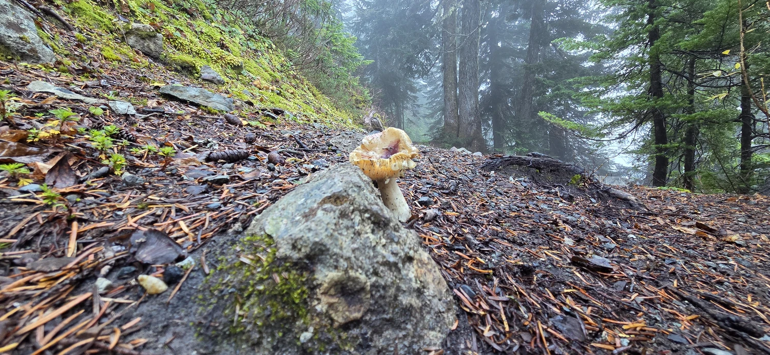
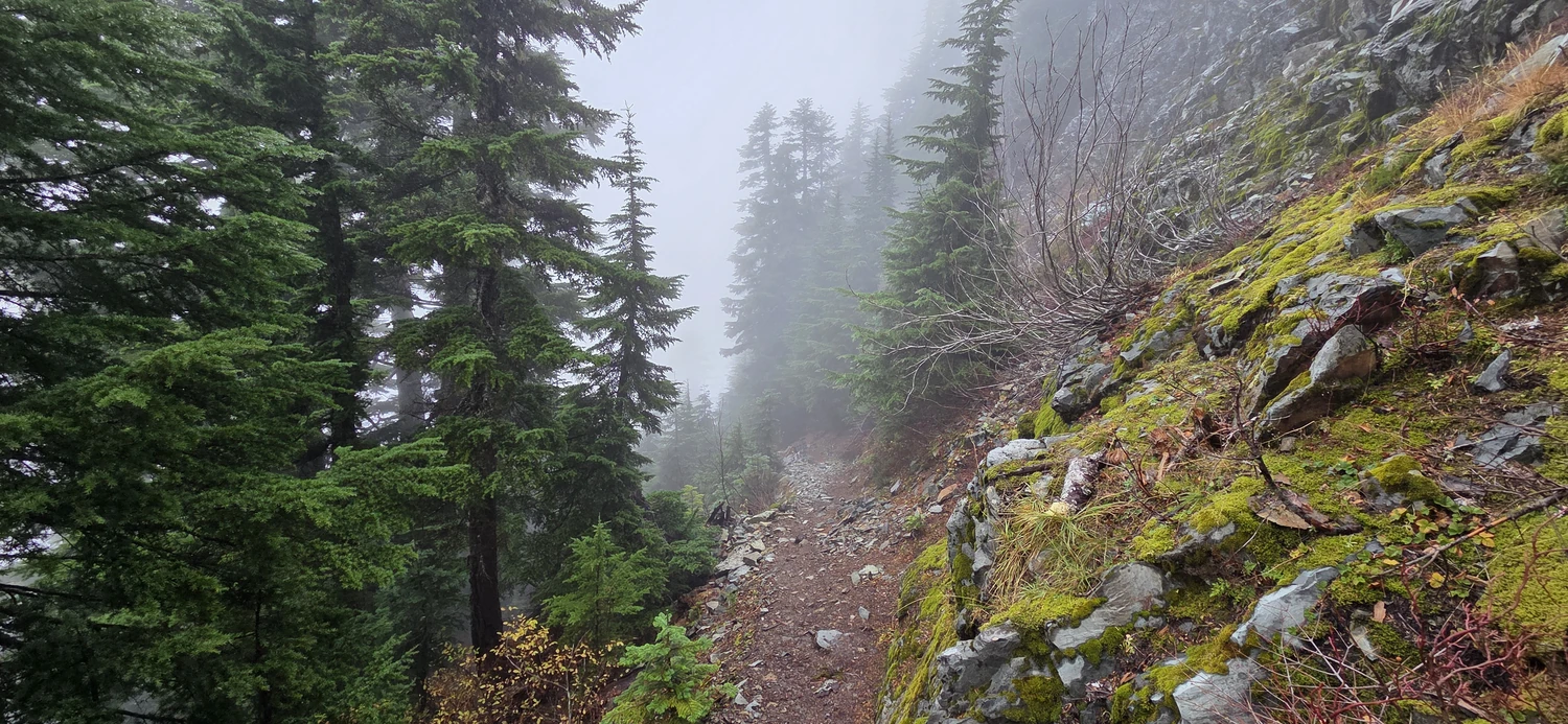
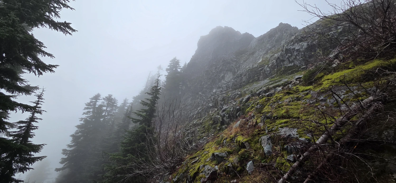
With the moody weather, I was unsure if the rock would be wet and slick, severely reducing my ability to make the summit block, or if I would get a stroke of luck and have some relatively dry rock to work with.
As luck would have it, the rock was miraculously dry, and so I began my slow, methodical scramble, working carefully along to ensure I wouldn’t slip. Despite the thick cloud surrounding the scramble, I could still see that the amount of exposure on this section is a bit on the extreme side. Overall, it looked from both the map and my eyes that it had to be around a few hundred feet. A fall here would certainly be fatal, or at the very least capable of causing some life-altering injury.
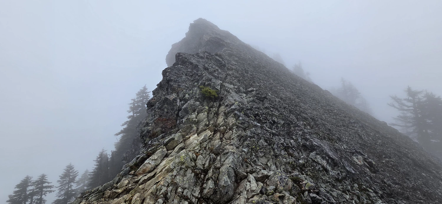
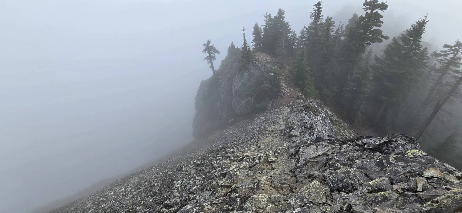
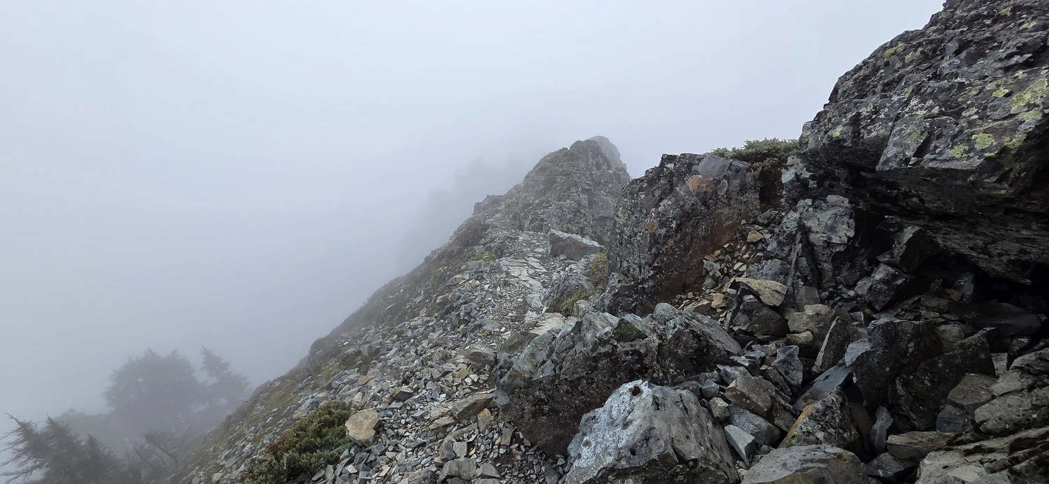
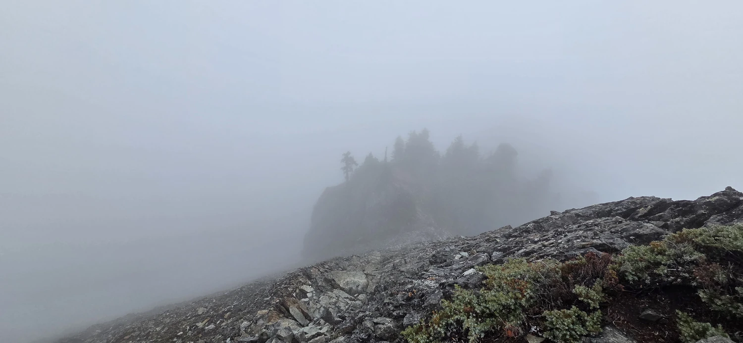
While I would rank the rock as a class 2 scramble on good, solid rock with plenty of handholds and good foot placement, I can see how many rate it much higher as a 3, or in some cases, I found as high as a 4. However, for those experienced with exposure, it should be a relatively easy 150 feet to the final summit.
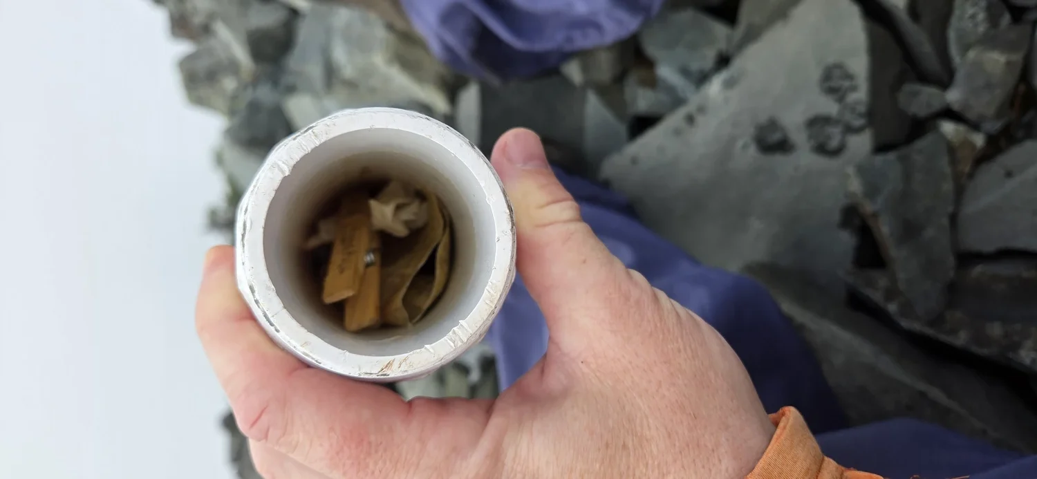
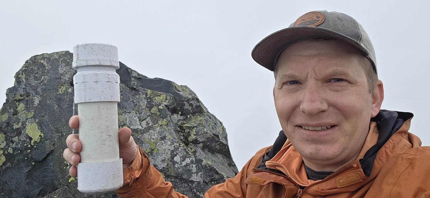
Arriving at the top, I found the summit register had certainly seen some better days. The majority of the paper inside the plastic tube was degrading and discolored. Since I was unable to successfully grab a section of paper to sign, I chose instead to photograph myself with it as proof of my success.
Since the summit was completely socked in by cloud, I did not bother to linger for long, especially since my turnaround time to avoid hiking out in the dark was drawing near. So, after my brief stay, I headed back down the scramble section, which was admittedly a lot more uncomfortable on the way down, and began the long slog back to the car.
Overall, I was able to make the car-to-car trek in a little over 4 hours, though I would suggest planning for a 5–6 hour round trip. I managed to arrive just as the sun was setting, made some chicken and bean soup, and then retreated back to my car bed for some warmth and respite from the rain that was just starting to fall again.
If you are looking for a good alternative to other, far busier hikes in the area with similar elevation, such as Mailbox Peak or Mount Si, McClellan Butte should scratch your itch for a summit.